The best walks and hikes around Fiuminata
4.4
(672)
1,835
hikers
18
hikes
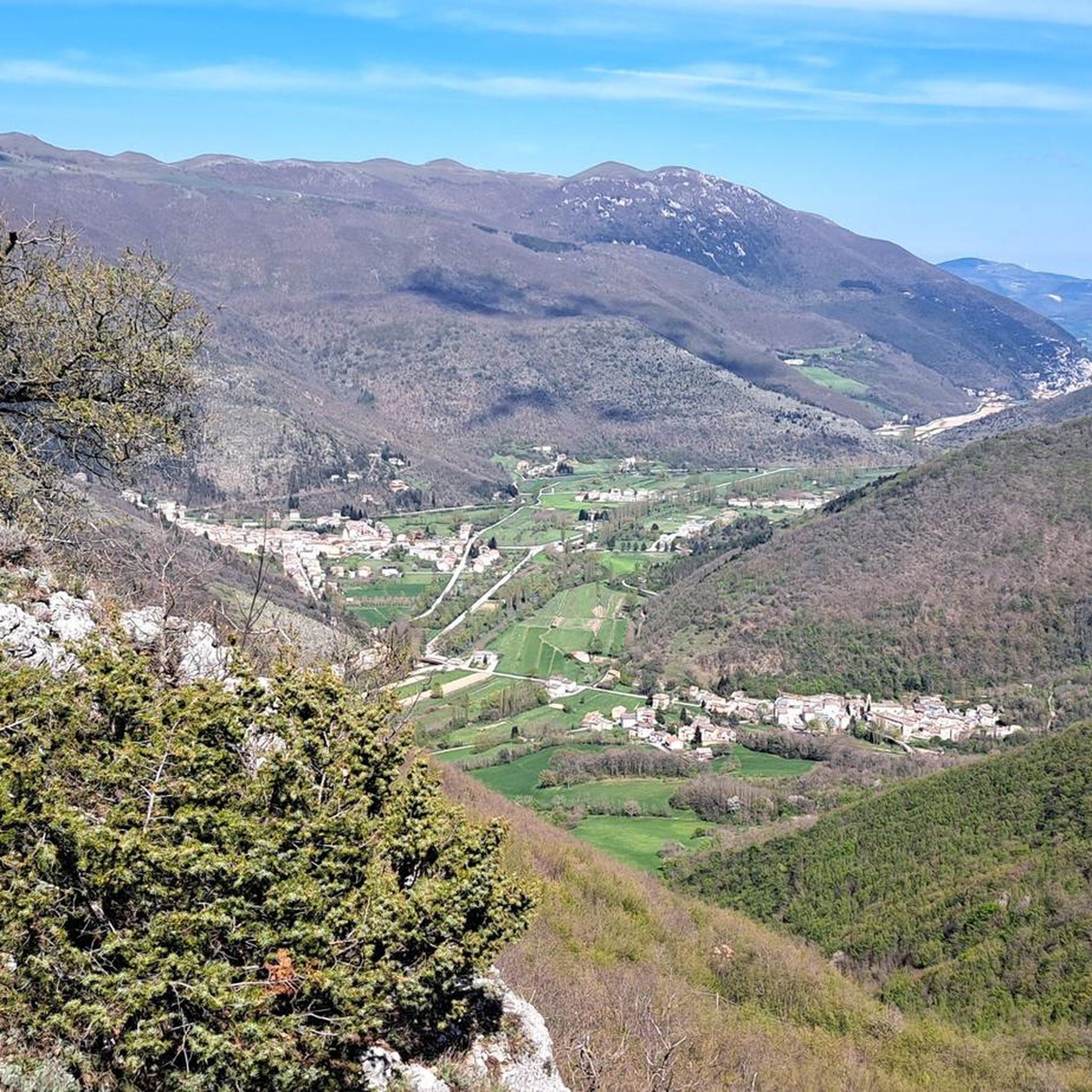
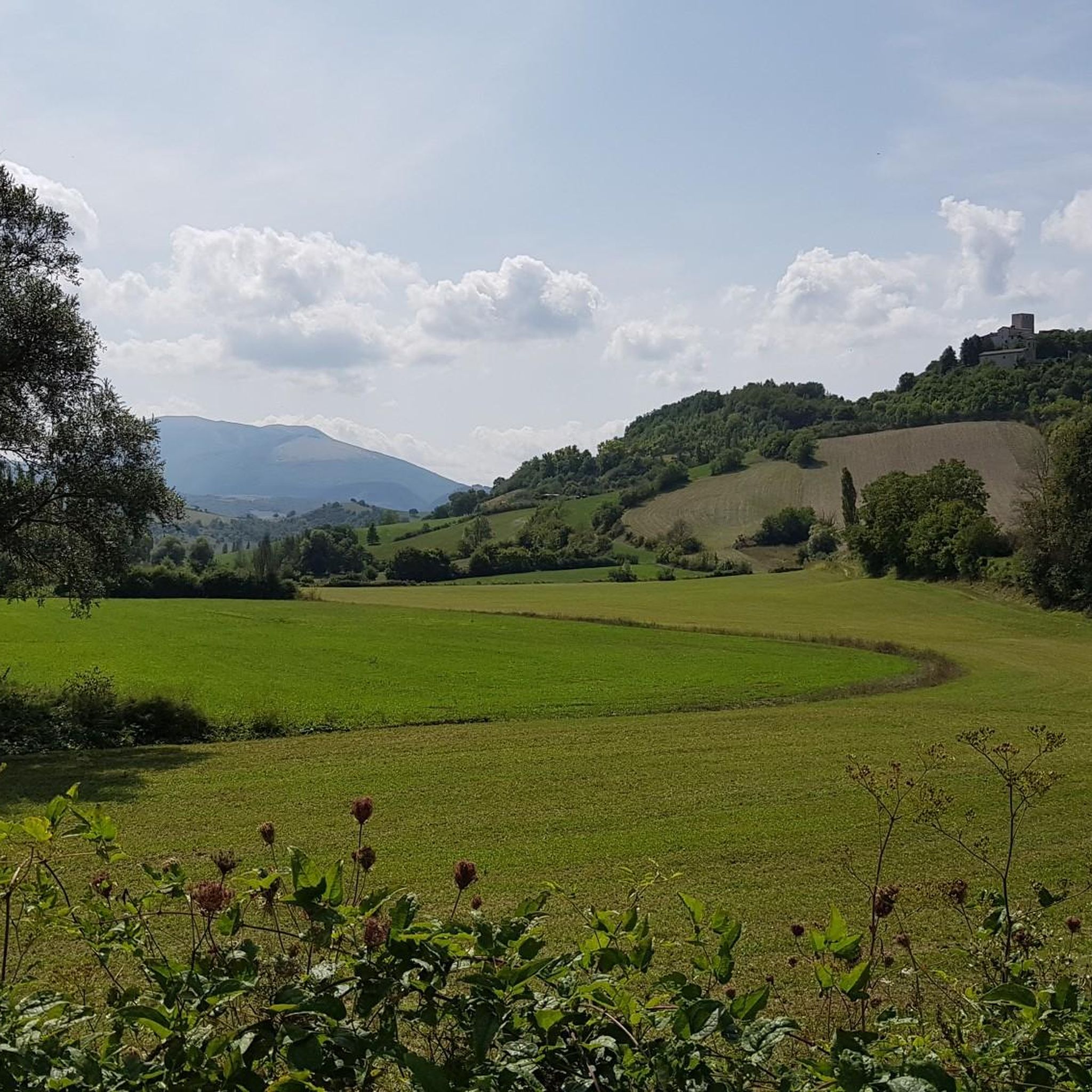
Hiking around Fiuminata offers routes through the Apennine foothills, characterized by rolling hills, forested valleys, and higher mountain ascents. The region features varied terrain, from moderate loops exploring local landscapes to more challenging climbs towards prominent peaks. These trails provide opportunities to experience the natural environment of the Marche region.
Best hiking trails around Fiuminata
- The most popular hiking route is Monte Gemmo – Tre Pizzi loop from Colle di Cardine, a 7.2 miles (11.6 km) trail that takes…
Last updated: July 9, 2026
5.0
(2)
12
hikers
11.6km
03:37
420m
420m
Moderate hike. Good fitness required. Mostly accessible paths. Sure-footedness required.
4.0
(4)
24
hikers
12.4km
03:20
150m
150m
Moderate hike. Good fitness required. Easily-accessible paths. Suitable for all skill levels.

Sign up for free
5.0
(2)
7
hikers
12.7km
05:14
890m
890m
Hard hike. Very good fitness required. Sure-footedness, sturdy shoes and alpine experience required.
4.0
(5)
13
hikers
11.8km
03:56
590m
590m
Moderate hike. Good fitness required. Easily-accessible paths. Suitable for all skill levels.
5.0
(2)
5
hikers
8.93km
03:08
450m
450m
Moderate hike. Good fitness required. Easily-accessible paths. Suitable for all skill levels.
Get access to more routes and recommendations from other explorers.
Sign up for free
Already have an account?
Our route recommendations are based on thousands of hikes, rides, and runs completed by other people on komoot.
Start today with a free account
Your next adventure awaits.
Login or Signup

Tips from the Community


because it is not a country but a jewel, mtb gravel bdc excursions you can do everything.
0
0

Forca di Bara is a pass in the Umbria-Marche Apennines, located at an altitude of 1250 metres. It is a crossroads of various paths frequented by walkers and mountain bikers. From here you can reach Monte Pennino, Monte Ràngora or Monte Linguaro.
1
0

Pioraco is a small town at 443 meters, where the Potenza river passes through some rapids. Every 8 June the feast of the patron S. Vittorino is celebrated.
0
0
Monte Gemmo is located at 1202 meters, and is part of a massif that also includes Tre Pizzi and Pizzo Torto. This mount is very popular with paragliding enthusiasts.
1
0

Rather "wild"... little frequented, to get there there is a very nice and moderately challenging MTB path
1
0

Pioraco is an enchanting town nestled in a wild gorge. Absolutely worth a visit.
1
0
Frequently Asked Questions
How many hiking trails are available around Fiuminata?
There are over a dozen hiking routes documented around Fiuminata on komoot, offering a variety of experiences through the Apennine foothills. These include moderate loops and more challenging mountain ascents.
Are there any easy hiking routes suitable for beginners in Fiuminata?
While Fiuminata's trails are generally categorized as moderate to difficult, many of the moderate routes can be enjoyed by beginners with a reasonable fitness level. For example, the Pioraco loop from Fiuminata is a moderate 11.6 km path with gentle elevation changes, suitable for those looking for a less strenuous walk.
What kind of terrain can I expect on hikes around Fiuminata?
Hiking around Fiuminata features diverse terrain, from rolling hills and forested valleys to more challenging ascents towards prominent peaks in the Apennine mountains. You'll find paths that explore local landscapes and others that lead to higher elevations.
Are there any circular walks available in Fiuminata?
Yes, many of the routes around Fiuminata are designed as circular walks. A popular option is the Monte Gemmo – Tre Pizzi loop from Colle di Cardine, which offers scenic views and is a moderate 11.6 km trail. Another is the Ascent to Monte Pennino – Monte Pennino (1,572 m) loop from Laverino for a more challenging circular experience.
What are some interesting natural attractions or landmarks to see while hiking in Fiuminata?
The Fiuminata area is rich in natural beauty and points of interest. You can explore highlights such as the Piani di Montelago, a beautiful natural monument. For those seeking panoramic views, summits like Monte Giuoco del Pallone (1,228 m) and Mount Cafaggio Summit are accessible via various trails. The Serrasanta Hermitage also offers a cultural landmark amidst the natural landscape.
What do other hikers say about the trails in Fiuminata?
The hiking routes in Fiuminata are highly regarded by the komoot community, with an average rating of 4.3 stars from over 600 reviews. Hikers often praise the varied terrain, from rolling hills to mountain ascents, and the opportunities to explore the natural environment of the Marche region.
Are there any challenging hikes for experienced trekkers in Fiuminata?
Yes, Fiuminata offers several challenging routes. The Ascent to Monte Pennino – Monte Pennino (1,572 m) loop from Laverino is a difficult 16.1 km trail with significant elevation gain, typically taking over 6 hours to complete, making it suitable for experienced hikers.
What is the best time of year to go hiking in Fiuminata?
The Apennine foothills around Fiuminata are generally best explored during spring, summer, and early autumn when the weather is mild and trails are clear. Winter hikes are possible but may require appropriate gear for snow and ice, especially on higher elevation routes.
Are there any routes that pass by historical sites or fortresses?
Yes, you can find routes that incorporate historical elements. The Santa Lucia Fortress loop from Piana di Pioraco is a moderate 8.9 km hike that allows you to explore this historical site.
How long do hikes typically take in the Fiuminata area?
Hike durations vary significantly depending on the route's length and difficulty. Moderate trails like the Pioraco loop from Fiuminata typically take around 3 hours. More challenging routes, such as the Ascent to Monte Pennino – Monte Pennino (1,572 m) loop from Laverino, can take over 6 hours to complete.
Are there any trails that offer views of multiple peaks?
Many routes in the Fiuminata area provide expansive views of the surrounding Apennine peaks. The Tre Pizzi – Monte Gemmo loop from La Morca, for instance, offers vistas of Monte Gemmo and Tre Pizzi, showcasing the region's mountainous landscape.
Most popular routes around Fiuminata
Most popular attractions around Fiuminata

Get inspired with the komoot mobile app


Explore more
Browse the best Hikes in other regions.
