The best road cycling routes in the Snowy Mountains
4.6
(11)
4,458
riders
93
rides
Road cycling in the Snowy Mountains offers a diverse landscape characterized by significant elevation changes, from high alpine passes to fertile river flats. The region is part of the Australian Alps, featuring the highest peaks on mainland Australia and dramatic terrain. Road cyclists encounter challenging climbs, such as those leading to Dead Horse Gap, alongside scenic routes through valleys and past large lakes. The area provides a network of well-maintained roads suitable for various road cycling experiences.
Best road cycling routes in the Snowy Mountains
- The most popular road cycling route is Tawonga Gap Lookout loop from Mount Beauty, a 39.9 miles (64.2 km) difficult trail that takes 3 hours 34 minutes to complete, featuring a substantial climb to the lookout.
- Another top favourite among local road cyclists is Creamery Café loop from Bright, a moderate 36.1 miles (58.1 km) path. This route offers a scenic ride through the countryside around Bright, often including a stop at a local café.
- Local road cyclists also love the Mount Buffalo Chalet Climb – Tawonga Gap Lookout loop from Bright, an 85.7 miles (137.9 km) trail leading through alpine landscapes and featuring a challenging ascent, often completed in about 7 hours 20 minutes.
- Road cycling in the Snowy Mountains is defined by dramatic summits, high alpine landscapes, and quiet country roads. The network offers options for different ability levels, from moderate loops to difficult, long-distance climbs.
- The routes in Snowy Mountains are highly rated by the komoot community with an average score of 4.4 stars from over 13 reviews. More than 5,800 road cyclists have used komoot to explore Snowy Mountains's varied terrain.
Last updated: August 28, 2026
5.0
(1)
423
riders
64.2km
03:34
1,350m
1,350m
Hard road ride. Very good fitness required. Some segments of this route may be unpaved and difficult to ride.
389
riders
70.2km
03:03
480m
480m
Moderate road ride. Good fitness required. Some segments of this route may be unpaved and difficult to ride.

Sign up for free
325
riders
41.3km
02:11
710m
710m
Moderate road ride. Good fitness required. Some segments of this route may be unpaved and difficult to ride.
4.0
(1)
241
riders
87.1km
05:19
2,280m
2,280m
Hard road ride. Very good fitness required. Some segments of this route may be unpaved and difficult to ride.
189
riders
112km
06:18
2,350m
2,350m
Hard road ride. Very good fitness required. Mostly well-paved surfaces and easy to ride.
179
riders
65.4km
03:40
1,430m
1,430m
Hard road ride. Very good fitness required. Mostly well-paved surfaces and easy to ride.
125
riders
144km
09:02
3,110m
3,110m
Hard road ride. Very good fitness required. Some segments of this route may be unpaved and difficult to ride.
117
riders
107km
06:31
2,270m
2,270m
Hard road ride. Very good fitness required. Some segments of this route may be unpaved and difficult to ride.
157
riders
64.7km
03:41
1,470m
1,470m
Hard road ride. Very good fitness required. Mostly well-paved surfaces and easy to ride.
5.0
(1)
146
riders
43.8km
03:13
1,240m
1,240m
Hard road ride. Very good fitness required. Some segments of this route may be unpaved and difficult to ride.
Get access to more routes and recommendations from other explorers.
Sign up for free
Already have an account?
Our route recommendations are based on thousands of hikes, rides, and runs completed by other people on komoot.
Start today with a free account
Your next adventure awaits.
Login or Signup

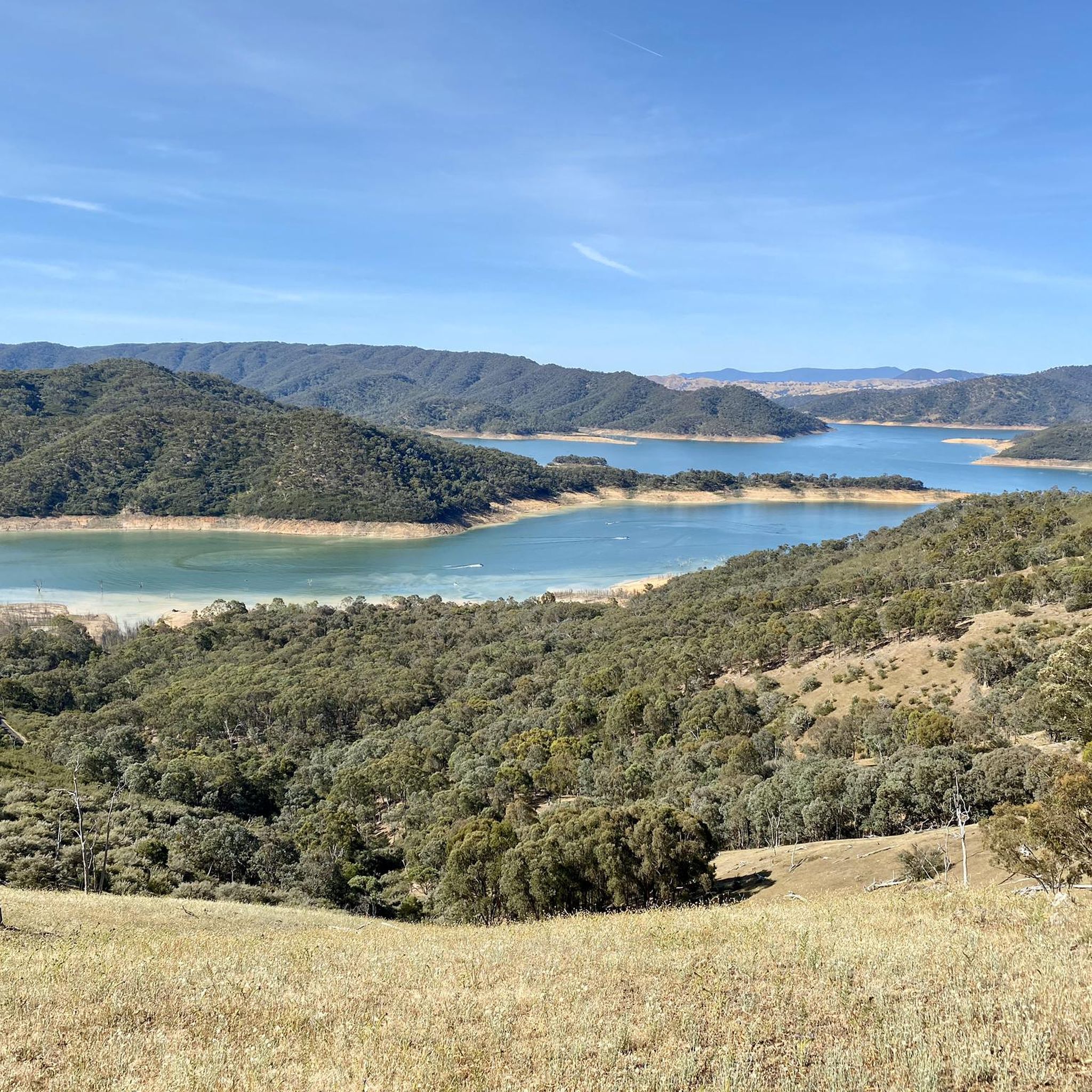
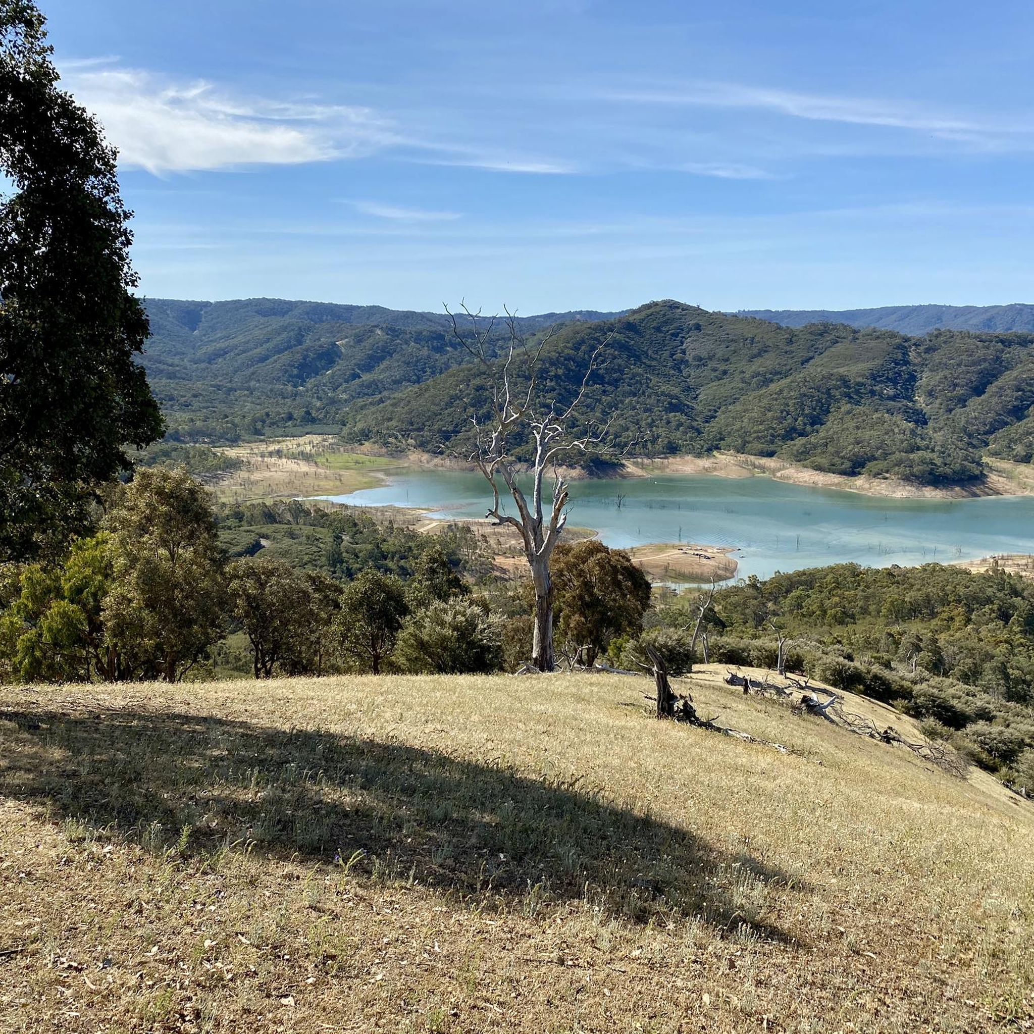
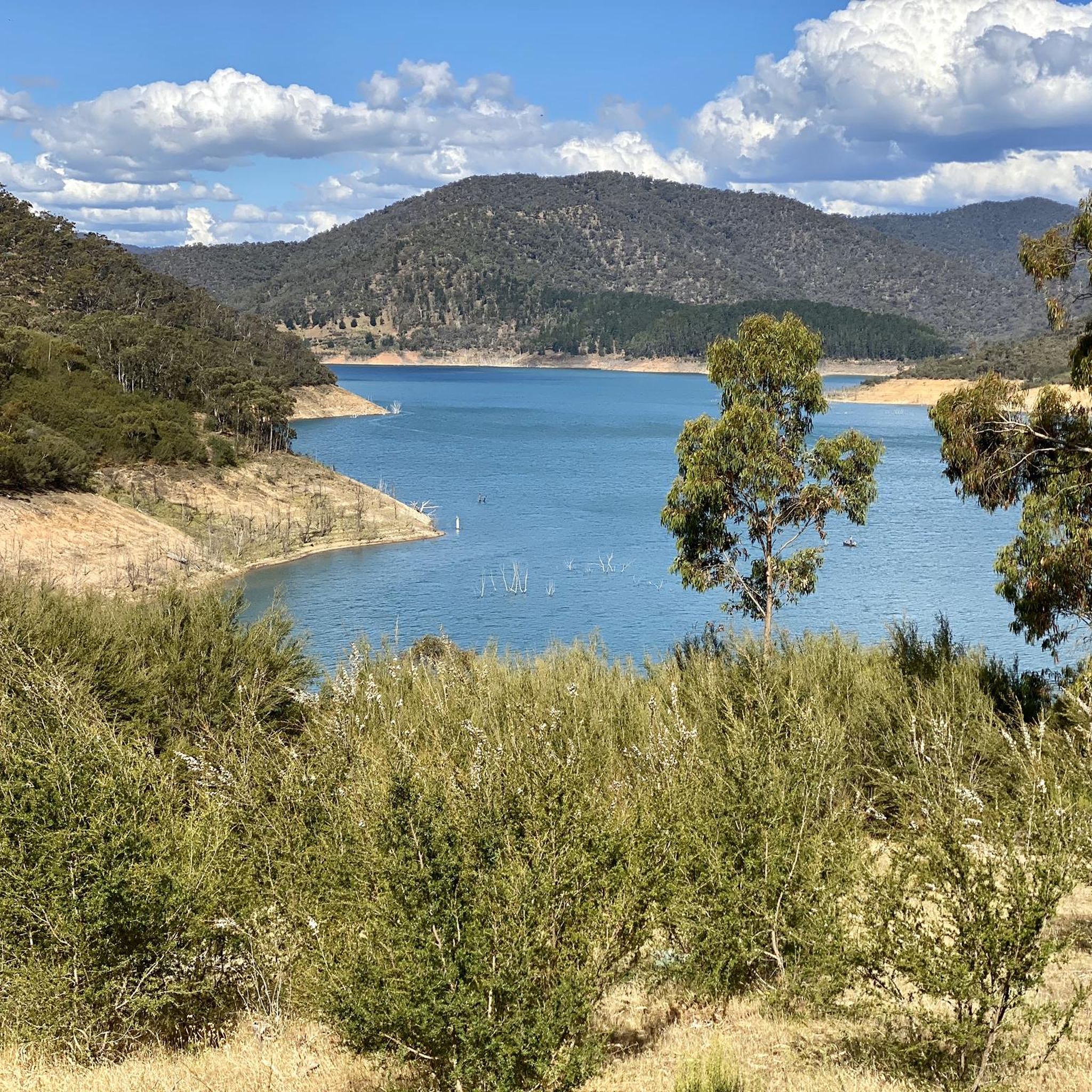
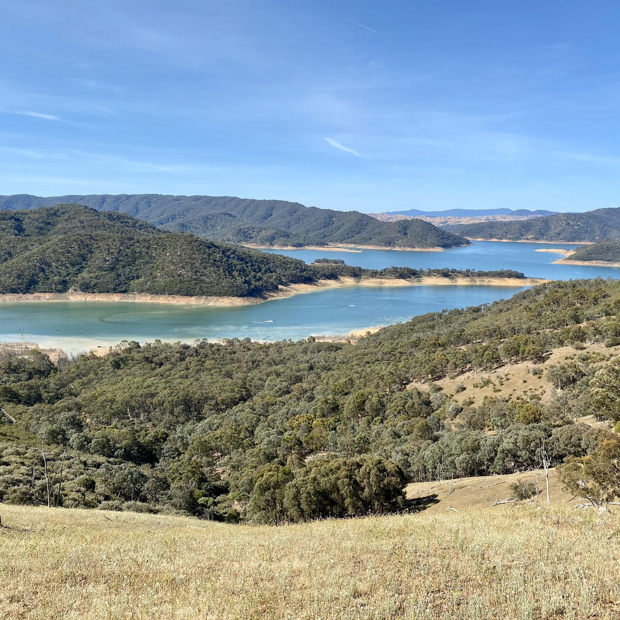

Other adventures in the Snowy Mountains

Tips from the Community

Riverside Park sits right on the Ovens River in the centre of Porepunkah, making it a great place to stop along the rail trail. There are picnic tables, barbecues, toilets, a playground and plenty of grass by the water, plus views towards Mount Buffalo. In the warmer months, the river is dammed to create a swimming area, with a separate shallow pool for younger children.
0
0

Here you will find a lot and picnic tables, as well as a trailhead connecting to the O'Shannassy Aqueduct Trail, Mount Victoria, and the Redwood Forest.
0
0

Mount Donna Buang is one of the easier alpine lookouts to reach near Melbourne. Its name comes from the Woiwurrung word “Donna Buang,” meaning “the body of the mountain.” The summit observation tower rises above the treetops for wide views over the valley and the Yarra Ranges.
1
0

Perisher Valley, at an elevation of 1720 metres, is Australia’s largest ski resort and a hub for year-round outdoor activities. In the winter, it offers access to extensive downhill and cross-country skiing, and in the summer months, it becomes a base for bushwalking, mountain biking, fishing, and alpine wildflower walks, including tracks to Porcupine Rocks and the Snowies Alpine Walk.
0
0
Widows Inlet is a picturesque small bay on Lake Jindabyne, just west of Jindabyne in the Snowy Mountains. It forms the mouth of Widows Creek and is a sheltered section of the lake with calm water and open shoreline. This area is accessible via the nearby boat ramp and the shared trail network, which connects to routes toward Hatchery Bay and the wider lakeside foreshore.
0
0
There is parking available along Kosciuszko Road near the trailhead for the Mount Kosciuszko Summit Walk, including space for buses. This is a popular access point, so it can get busy, especially on weekends and during peak periods, so arriving early is recommended. A park entry fee applies. Outside winter, it’s $17 per vehicle per day (24 hours). In winter (June to October long weekends), this increases to $29. Discounts apply for motorcycles and bus passengers, and multi-day and annual passes are available.
0
0

Charlotte Pass is a ski resort and small village. Here is the Kosciuszko National Park, where the Kosciuszko Road crosses Kangaroo Ridge. Charlotte Pass is the jumping-off point for Mount Kosciuszko and a great spot to take in and learn about the surrounding range.
0
0

Be prepared for all weather; drink and fuel well
0
0
Frequently Asked Questions
How many road cycling routes are available in the Snowy Mountains?
The Snowy Mountains region offers a wide variety of road cycling experiences, with over 110 routes available on komoot. These routes cater to different skill levels, from moderate loops to challenging, long-distance climbs.
What makes road cycling in the Snowy Mountains unique?
Road cycling in the Snowy Mountains is defined by its dramatic summits, high alpine landscapes, and quiet country roads. You'll encounter significant elevation changes, from challenging climbs like those leading to Dead Horse Gap, to scenic routes through valleys and past large lakes. The region is part of the Australian Alps, offering breathtaking views and diverse terrain.
What is the best time of year for road cycling in the Snowy Mountains?
The best time for road cycling in the Snowy Mountains is typically outside of the winter months (June-August), when the region transforms into a ski destination. Spring, summer, and autumn offer ideal conditions, with refreshing alpine air and spectacular views. Summer routes, especially in Kosciuszko National Park, are particularly popular.
What do other cyclists enjoy most about road cycling in the Snowy Mountains?
The komoot community highly rates road cycling in the Snowy Mountains, with an average score of 4.4 stars from over 13 reviews. Cyclists often praise the challenging climbs, the stunning alpine scenery, and the well-maintained, quiet roads that provide a rewarding experience.
Are there challenging road cycling routes with significant climbs in the Snowy Mountains?
Yes, the Snowy Mountains are renowned for challenging climbs. Routes often include substantial elevation gains, such as the infamous 17km climb to Dead Horse Gap, which features sections averaging 12% gradient. Other difficult routes include the Mount Buffalo Chalet Climb – Tawonga Gap Lookout loop from Bright, which features over 2,000 meters of ascent, and the Creamery Café – Mount Hotham loop from Bright.
Are there any family-friendly road cycling routes in the Snowy Mountains?
While many routes in the Snowy Mountains feature significant climbs, areas around towns like Tumut offer quieter country roads that can be more suitable for families. Routes like the 'Jones Bridge' (27km, easy) and 'Lacmalac Loop' (27km, easy) are mentioned as options traversing fertile river flats, providing a less strenuous experience.
What notable landmarks or natural features can I see along road cycling routes?
The Snowy Mountains offer stunning natural beauty. You can encounter dramatic summits, breathtaking ravines, and high alpine landscapes. Notable features include the iconic Snowy River, Lake Jindabyne, and the vast Kosciuszko National Park. You might also pass by historic huts like Seaman's Hut or enjoy viewpoints like Charlotte Pass and Mount Kosciuszko Summit lookout.
Are there any road cycling routes that include cafe stops?
Yes, some routes are popular for their scenic rides and opportunities for cafe stops. For instance, the Creamery Café loop from Bright is a moderate path that often includes a stop at a local cafe, making it a favourite among local road cyclists.
Are there long-distance road cycling routes in the Snowy Mountains?
Absolutely. The Snowy Mountains are ideal for epic long-distance rides. Cyclists can undertake journeys like the 'Sea to Kosciuszko' route, which involves pedaling from the coastline to the summit of Mount Kosciuszko. Other challenging long-distance options include the B.T. Dubs Coffee loop from Yarra Junction, covering over 125 km.
Are there loop routes for road cycling in the Snowy Mountains?
Yes, many road cycling routes in the Snowy Mountains are designed as loops, allowing you to start and finish in the same location. Examples include the popular Tawonga Gap Lookout loop from Mount Beauty and the Tawonga Gap Lookout loop from Bright, both offering substantial climbs and scenic returns.
Do I need any permits for road cycling in the Snowy Mountains?
Road cycling within Kosciuszko National Park may require a park entry fee. It's advisable to check the official NSW National Parks website for current permit requirements and fees before your ride. For more information on the Snowy Mountains Highway, which traverses parts of the region, you can visit nsw.gov.au.
Where can I find parking for road cycling trailheads in the Snowy Mountains?
Parking is generally available in and around the main towns and popular starting points for routes. Jindabyne serves as a central hub with amenities and parking options. For specific trailheads, it's recommended to check local information or the komoot route details for parking suggestions near your chosen starting point.
Most popular routes in the Snowy Mountains
Most popular attractions in the Snowy Mountains

Get inspired with the komoot mobile app


Explore more
Browse the best Road cycling routes in other regions.
