The best walks and hikes in Sensebezirk
4.6
(1769)
13,704
hikers
523
hikes
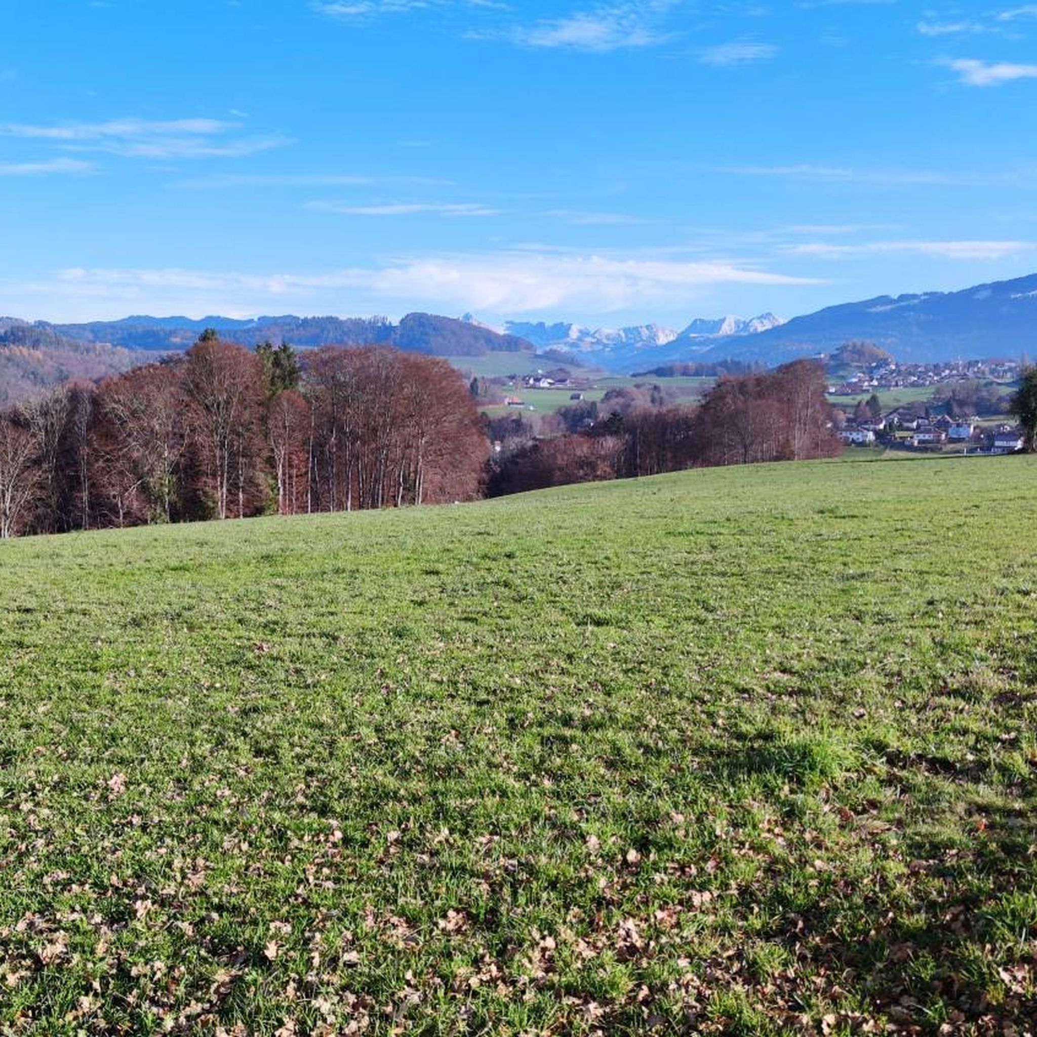
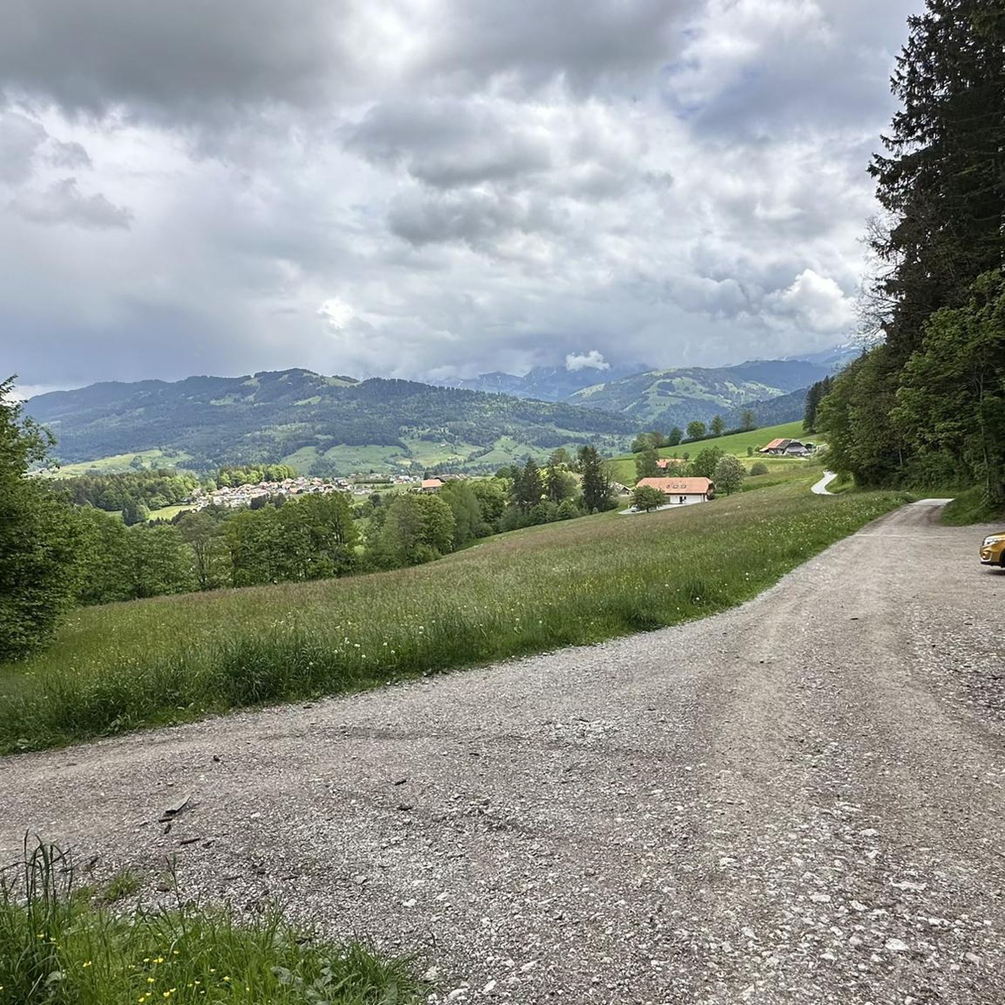
Hiking in Sensebezirk, Fribourg, Switzerland, features varied landscapes from the Fribourg Pre-Alps to river valleys. The region is characterized by mountainous terrain in the south, including peaks like Schafberg (2,239 m) and Kaiseregg (2,185 m), and lower-lying areas around the Sense River. Natural features include the picturesque Schwarzsee (Black Lake) and the glacier-formed Breccaschlund valley, providing a range of environments for outdoor activities. Sensebezirk is the only purely German-speaking district in the canton of Fribourg.
Best hiking trails in Sensebezirk
…Last updated: July 7, 2026
4.7
(142)
1,540
hikers
4.28km
01:08
40m
50m
Easy hike. Great for any fitness level. Easily-accessible paths. Suitable for all skill levels.
4.7
(133)
1,497
hikers
4.14km
01:05
30m
30m
Hike the easy 2.6-mile Lake Schwarzsee Tour in Gantrisch Nature Park, featuring mountain views, the Dragon of the Schwarzsee, and the Witche

Sign up for free
4.8
(95)
609
hikers
14.4km
04:38
610m
610m
Hike the moderate La vallée de Brecca - Petit tour loop from Schwarzsee, covering 9.0 miles with glacier-formed landscapes and alpine huts.
4.9
(31)
232
hikers
10.6km
04:42
800m
800m
Moderate hike. Good fitness required. Mostly accessible paths. Sure-footedness required.
4.3
(36)
170
hikers
10.9km
02:57
150m
140m
Moderate hike. Good fitness required. Mostly accessible paths. Sure-footedness required.
4.9
(11)
105
hikers
13.2km
05:14
920m
920m
Hard hike. Very good fitness required. Sure-footedness, sturdy shoes and alpine experience required.
4.7
(15)
97
hikers
18.7km
05:58
750m
750m
Hard hike. Very good fitness required. Mostly accessible paths. Sure-footedness required.
4.2
(6)
16
hikers
7.53km
02:42
460m
460m
Hike the moderate 4.7-mile La Balisa loop from Schwarzsee, enjoying panoramic views of the Prealps and a stop at Alp Balisa.
4.7
(3)
49
hikers
10.9km
04:54
850m
850m
Hard hike. Good fitness required. Sure-footedness, sturdy shoes and alpine experience required.
30
hikers
14.1km
04:51
640m
640m
Moderate hike. Good fitness required. Mostly accessible paths. Sure-footedness required.
Get access to more routes and recommendations from other explorers.
Sign up for free
Already have an account?
Our route recommendations are based on thousands of hikes, rides, and runs completed by other people on komoot.
Start today with a free account
Your next adventure awaits.
Login or Signup
Other adventures in Sensebezirk


Tips from the Community

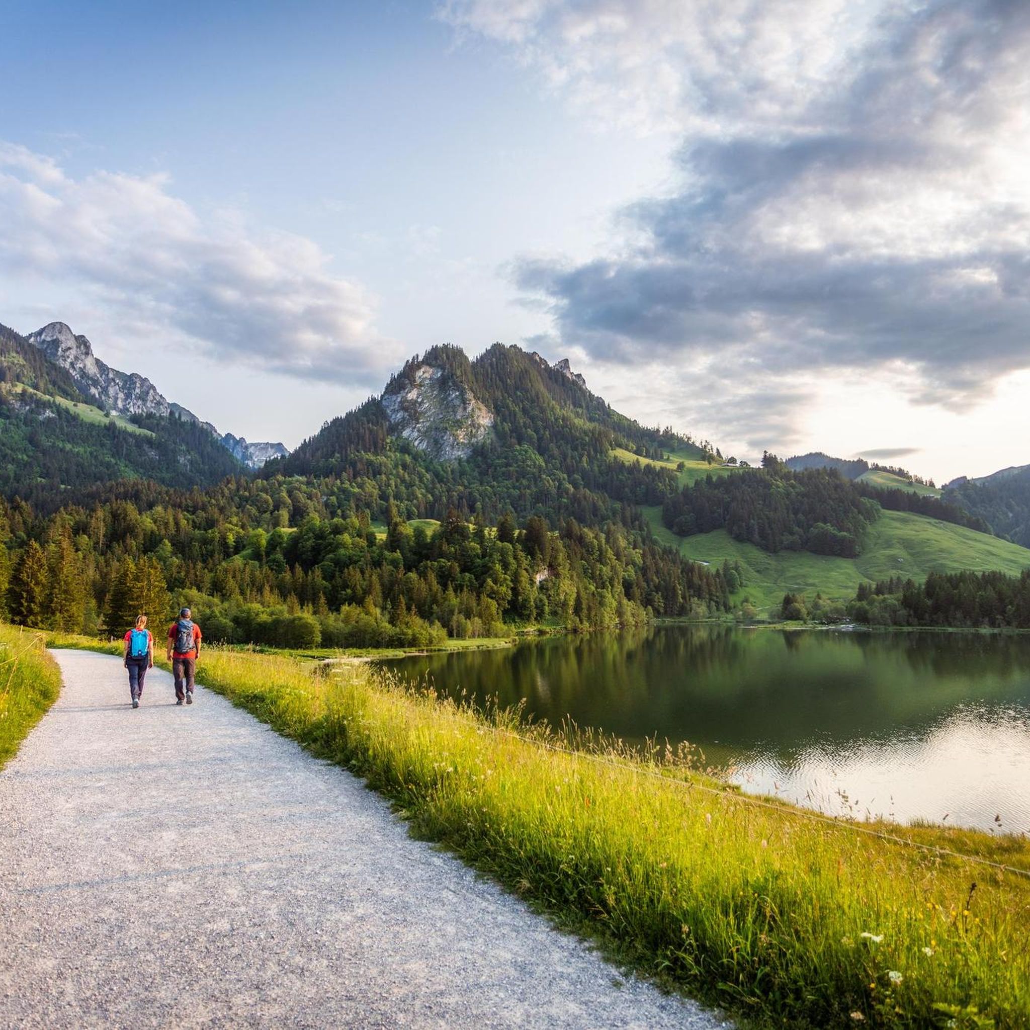
The Schwarzsee, also known as Lac Noir, is idyllically situated in the canton of Fribourg (Sense district) and is part of the Gantrisch Nature Park. With its deep, dark water and surrounding peaks such as Kaiseregg (2185 m), Schafberg, and Spitzfluh, the lake offers a fascinating panorama. 🌅 Highlights & Activities Surroundings & Nature: The moorland and alpine pastures surrounding the lake are rich in species – with cotton grass, reeds, coots, and dragonflies – ideal for walks and nature observation. Leisure & Recreation: The Schwarzsee is ideal for hiking, swimming, paddling (SUP), or simply lounging on the shore. Accessible for hikes or conveniently by chairlift to Riggisalp – with alpine huts and restaurants. Legends & Experiences: Themed trails with legends from the Sense region, mystical landscapes in the Breccaschlund valley, and spectacular ice palaces in winter attract visitors year-round.
0
0

great view over the entire Schwarzsee
0
0

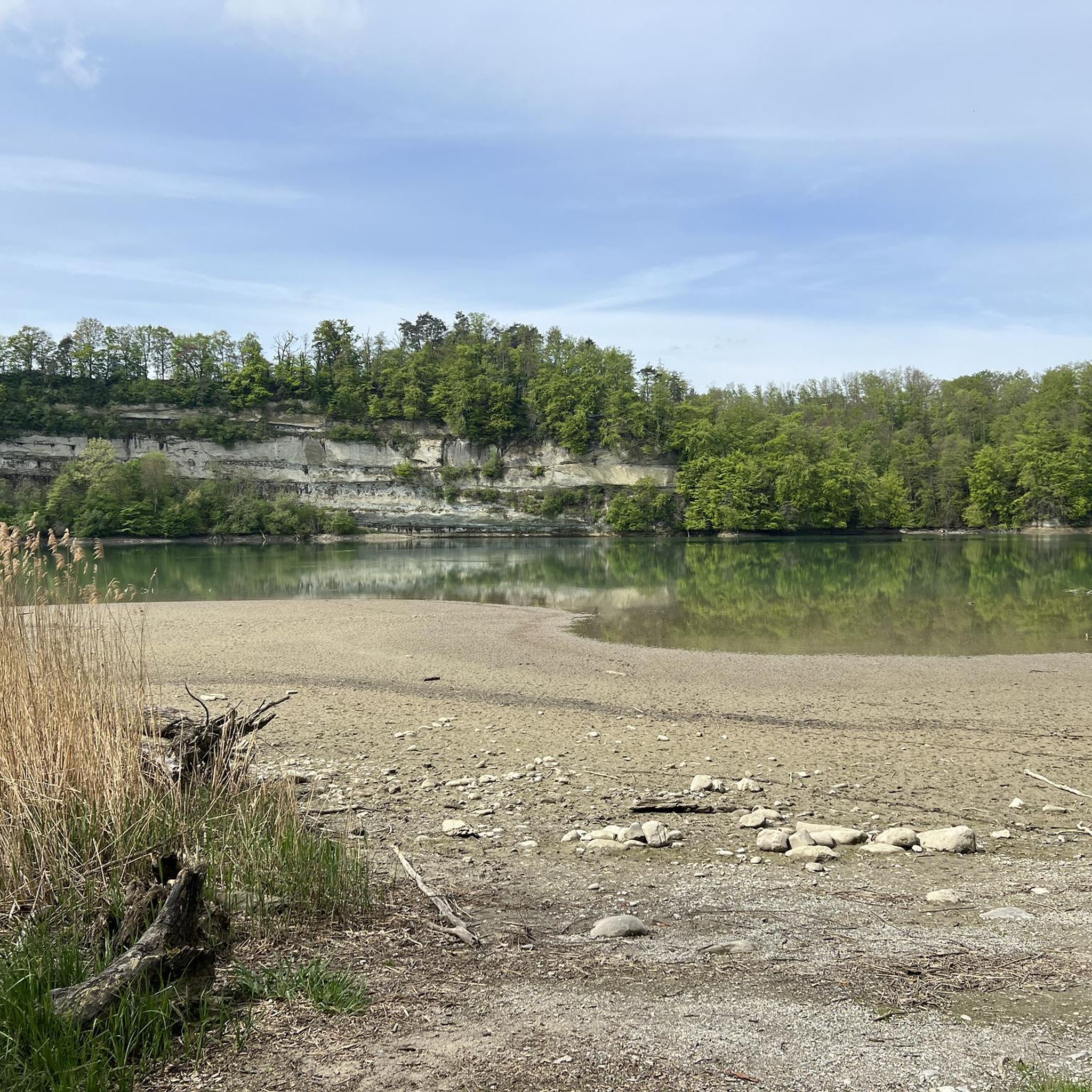
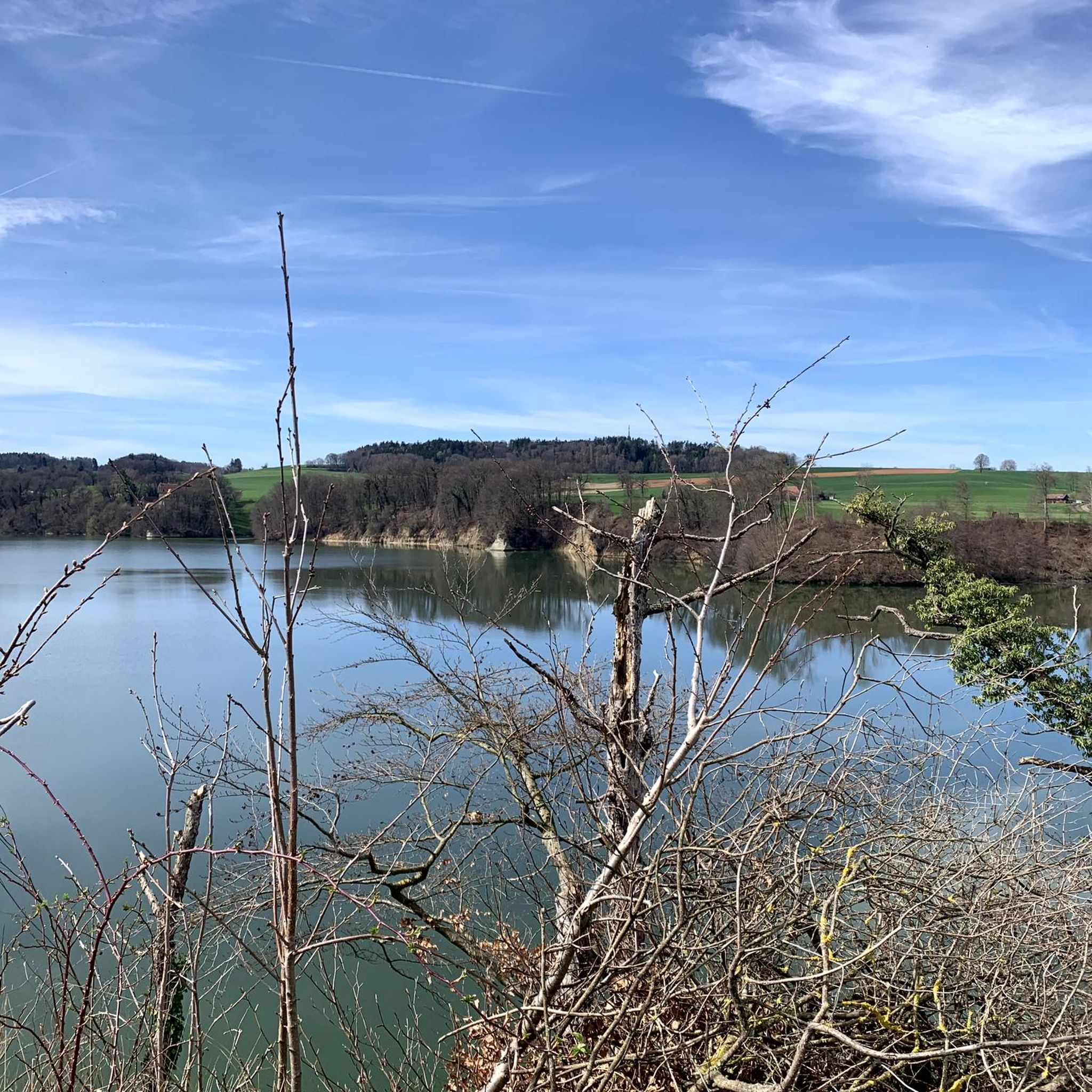
Very beautiful place and the silence of the Schiffenensee
0
0

There is a great, bilingual book about the creation of the Schiffenen reservoir, over which the viaduct runs, with many pictures of the time before the Saane was dammed. It also has portraits of contemporary witnesses who had roots in the Saane valley. The book was published in 2012 by the O.S.K.A.R. association. Orders can be placed on the website: www.verein-oskar.ch
2
1

Also beautiful in winter, but then the alpine pasture is closed.
0
0

A short detour to the waterfall is definitely worth it.
0
0
Great terrace with a view of Märe, Schafharnisch and Widdergalm
1
0

Brilliant location. Very good cheese, no matter what form it comes in. Just taste it and enjoy nature.
0
0
Frequently Asked Questions
How many hiking trails are available in Sensebezirk?
Sensebezirk offers a wide variety of hiking experiences, with over 500 trails recorded on komoot. These range from easy lakeside strolls to challenging alpine ascents in the Fribourg Pre-Alps.
What kind of terrain can I expect on hikes in Sensebezirk?
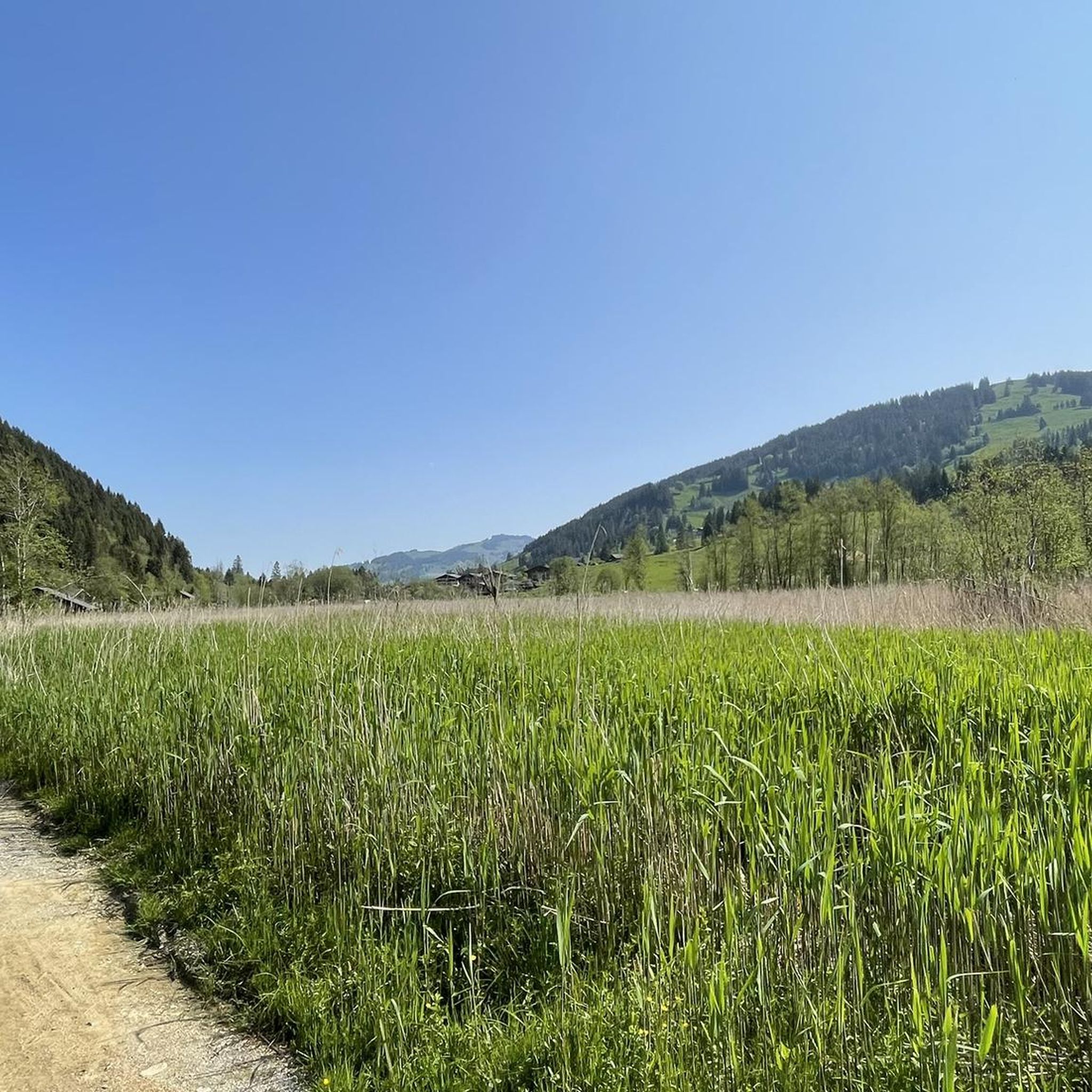
The terrain in Sensebezirk is quite diverse. In the southern part, known as Senseoberland, you'll find mountainous Pre-Alps with peaks like Schafberg and Kaiseregg. Lower-lying areas feature picturesque river valleys, such as those formed by the Sense and Ärgera rivers, and the unique glacier-formed landscapes of the Breccaschlund valley. You can also expect trails around the scenic Schwarzsee.
Are there hiking trails suitable for beginners or easy walks?
Yes, Sensebezirk has over 230 easy hiking routes. For a relaxed experience, consider the Lac Noir — loop from Schwarzsee, which is an easy 4.3 km trail circling the picturesque lake. Another popular easy option is the Schwarzsee Lake Circuit.
Are there challenging hikes for experienced trekkers?
Absolutely. For experienced hikers, Sensebezirk offers over 40 difficult routes. The Fribourg Pre-Alps provide demanding ascents, with peaks like Schafberg (2,239 m) and Kaiseregg (2,185 m). A challenging option is the Summit hike Märe – Gantrisch Nature Park, which involves significant elevation gain.
Are there any circular hiking routes in Sensebezirk?
Many trails in Sensebezirk are designed as loops, offering varied scenery without retracing your steps. Popular circular routes include the easy Lac Noir — loop from Schwarzsee and the moderate Schwarzsee-Balisa Loop, which provides panoramic views of the Pre-Alps.
Can I find hikes with scenic viewpoints or natural landmarks?
Sensebezirk is rich in natural beauty and viewpoints. The Breccaschlund Panorama Trail leads through impressive glacier-formed landscapes. The region also features the picturesque Schwarzsee, and the Fribourg Pre-Alps offer stunning panoramic vistas. You can also explore highlights like the Fuchses Schwyberg summit or the Düdinger Moos Nature Reserve.
Are there family-friendly hiking options in Sensebezirk?
Yes, Sensebezirk offers several trails suitable for families. Easy walks around Schwarzsee are popular, and themed trails like the Path of Senses and Sounds in Düdingen provide an engaging experience for children. The Forest house Hölli in Plasselb is also ideal for nature experiences with groups.
Are dogs allowed on hiking trails in Sensebezirk?
Generally, dogs are welcome on hiking trails in Sensebezirk, provided they are kept on a leash, especially in nature reserves, near livestock, or in crowded areas. Always ensure to clean up after your dog to maintain the natural environment for everyone.
What are some notable natural attractions or gorges to explore?
Beyond the Schwarzsee and Breccaschlund, Sensebezirk is known for its river valleys and gorges. The Sense River forms a significant border, and the Galternbach flows through a long, wooded valley that narrows into a scenic gorge. You can explore the Gottéron Valley or the Sense Gorge, which offer unique natural experiences.
What do other hikers enjoy most about hiking in Sensebezirk?
The hiking routes in Sensebezirk are highly rated by the komoot community, with an average score of 4.7 stars from over 1600 reviews. Hikers often praise the diverse landscapes, from the serene Schwarzsee to the challenging Pre-Alps, and the well-maintained paths that cater to all ability levels.
Are there any historical or cultural landmarks along the trails?
Yes, Sensebezirk has some interesting historical and cultural points of interest. One notable site is the Magdalenakapelle Heitenried, a chapel carved into rocks. While hiking, you might also encounter the Sunken Lane Weissenbach–St. Antoni (Via Jacobi), which is part of a historic pilgrimage route.
Can I access hiking trails in Sensebezirk using public transport?
Sensebezirk is generally well-connected by public transport, especially to key starting points for popular hikes like Schwarzsee. It's advisable to check local bus schedules to plan your journey to trailheads, particularly for routes in more remote pre-alpine areas.
Most popular routes in Sensebezirk
Most popular attractions in Sensebezirk

Get inspired with the komoot mobile app


Didn’t find what you were looking for?
Check out more Hikes throughout Sensebezirk below and find the perfect route in your destination.
Explore more
Browse the best Hikes in other regions.
