The best cycling routes in Saxony-Anhalt
4.5
(64979)
251,403
riders
16,786
rides
Touring cycling in Saxony-Anhalt offers a diverse landscape, ranging from the challenging Harz Mountains in the southwest to the flat Elbe River floodplains in the north. The region features extensive river valleys like the Saale and Unstrut, known for vineyards and historical sites, alongside unique lake landscapes formed from former open-cast mines. This varied terrain provides a wide array of routes for different cycling preferences.
Best touring cycling routes in Saxony-Anhalt
- The most popular touring cycling route is From Schierke…
Last updated: October 8, 2026
4.7
(167)
1,149
riders
Hard bike ride. Very good fitness required. Mostly paved surfaces. Suitable for all skill levels.
4.8
(2062)
5,857
riders
Moderate bike ride. Good fitness required. Mostly paved surfaces. Suitable for all skill levels.

4.8
(121)
337
riders
68.8km
04:13
110m
110m
Hard bike ride. Good fitness required. You may need to push your bike for some segments of this route.
4.8
(2013)
5,797
riders
34.9km
02:03
190m
190m
Moderate bike ride. Good fitness required. Mostly paved surfaces. Suitable for all skill levels.
4.5
(86)
293
riders
60.0km
04:07
420m
420m
Moderate bike ride. Good fitness required. Some segments of this route may be unpaved and difficult to ride.
4.6
(79)
289
riders
33.4km
02:34
600m
600m
Hard bike ride. Very good fitness required. Mostly paved surfaces. Suitable for all skill levels.
4.8
(1181)
3,540
riders
28.0km
01:39
60m
60m
Easy bike ride. Great for any fitness level. Mostly paved surfaces. Suitable for all skill levels.
4.3
(49)
238
riders
17.4km
01:04
30m
30m
Easy bike ride. Great for any fitness level. Mostly paved surfaces. Suitable for all skill levels.
4.6
(41)
128
riders
37.3km
02:14
280m
310m
Moderate bike ride. Good fitness required. Mostly paved surfaces. Suitable for all skill levels.
4.6
(74)
262
riders
80.4km
04:43
120m
130m
Moderate bike ride. Good fitness required. Mostly paved surfaces. Suitable for all skill levels.
Get access to more routes and recommendations from other explorers.
Already have an account?
Our route recommendations are based on thousands of hikes, rides, and runs completed by other people on komoot.
Start today with a free account
Your next adventure awaits.
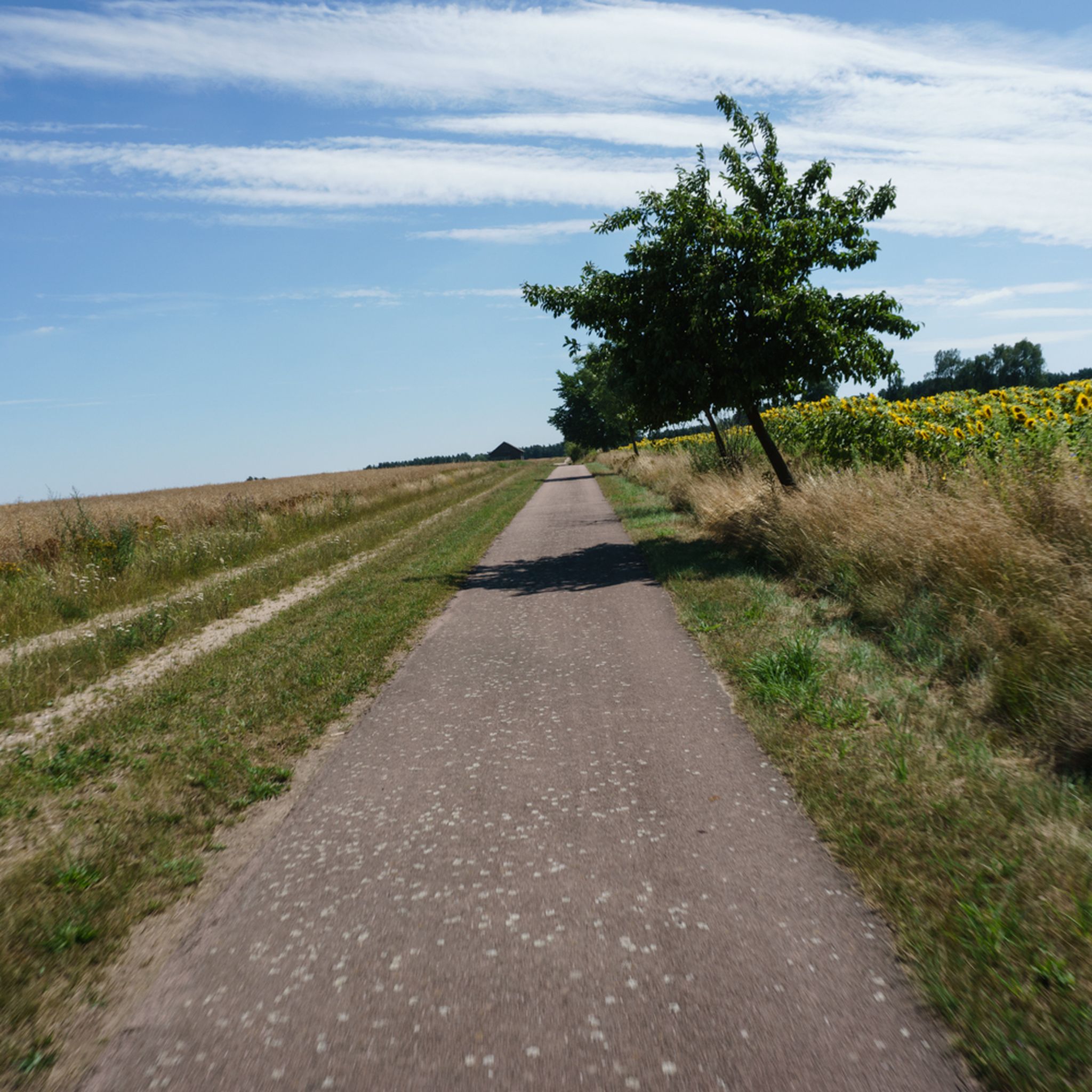
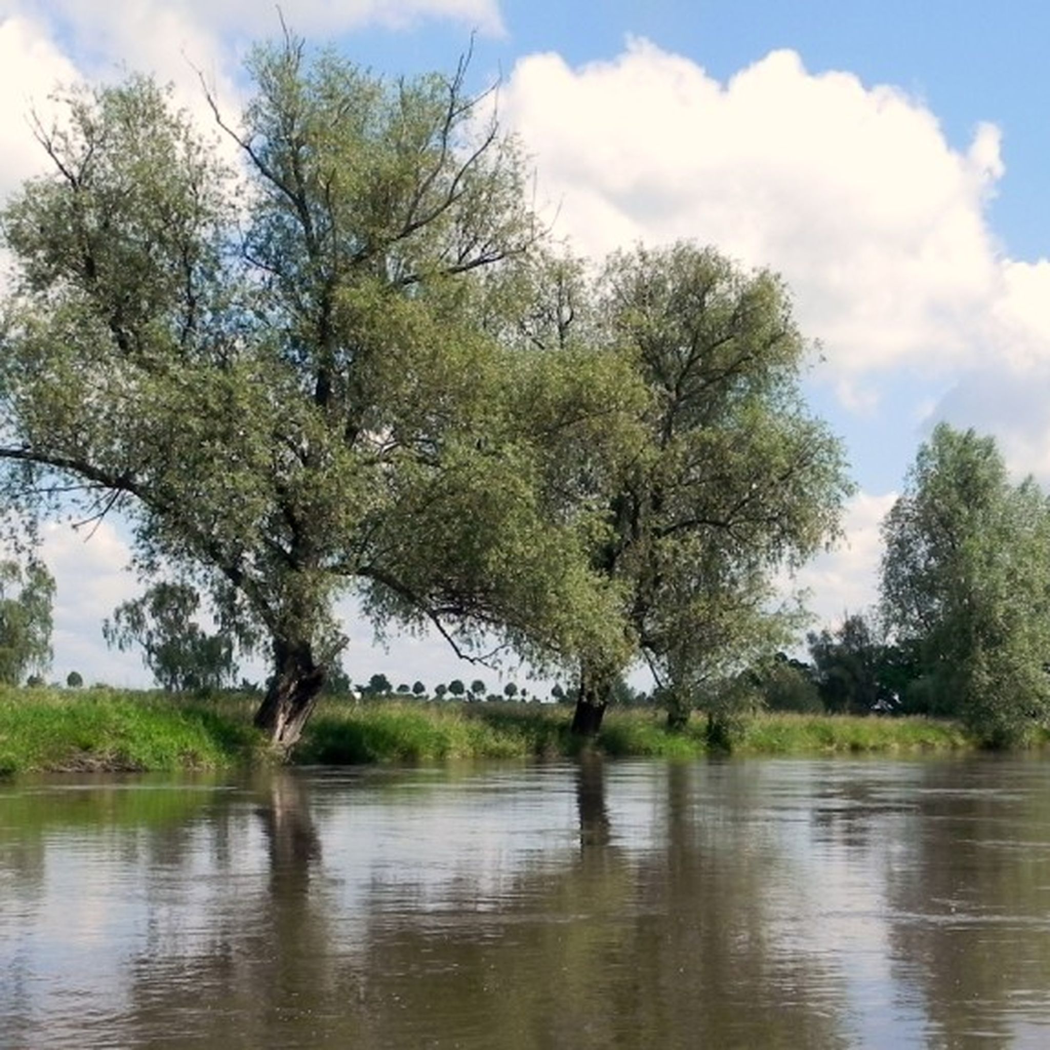
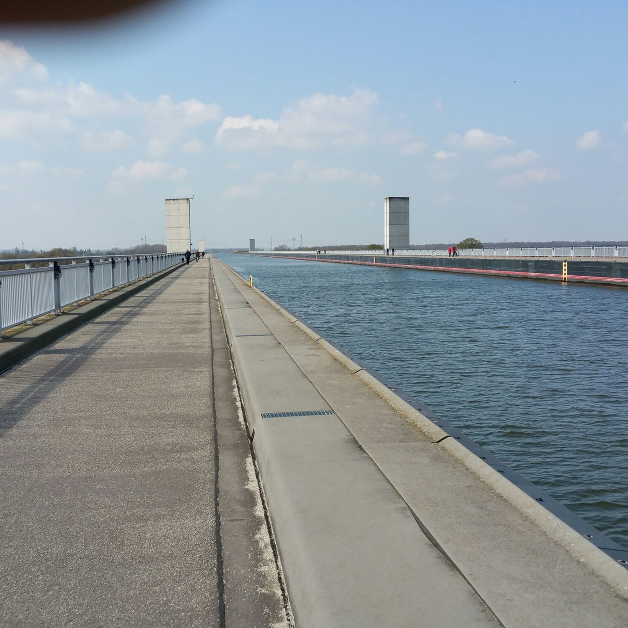
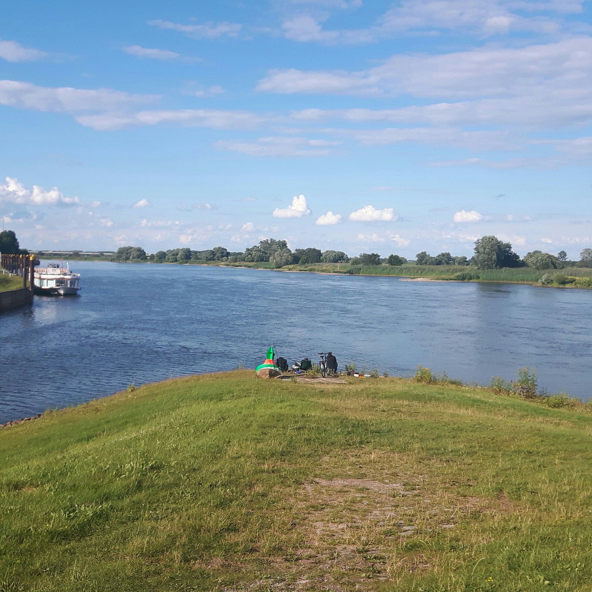
Other adventures in Saxony-Anhalt


Tips from the Community

"And he [Wolfram Weimer, Minister of State for Culture and Media] is a man of his word. That is why it is not a mistake when he says sentences like: 'The AfD in Saxony-Anhalt is in direct continuity with the Nazis regarding the Bauhaus.' The Bauhaus in Dessau – a place of avant-garde architecture created in 1925 during the Weimar Republic – is also on the Unesco World Heritage List. The National Socialists branded art as 'degenerate' and 'un-German.'" (Kölner Stadt-Anzeiger of 12.08.2026)
0
0

Beautiful view from the observation tower.
0
0

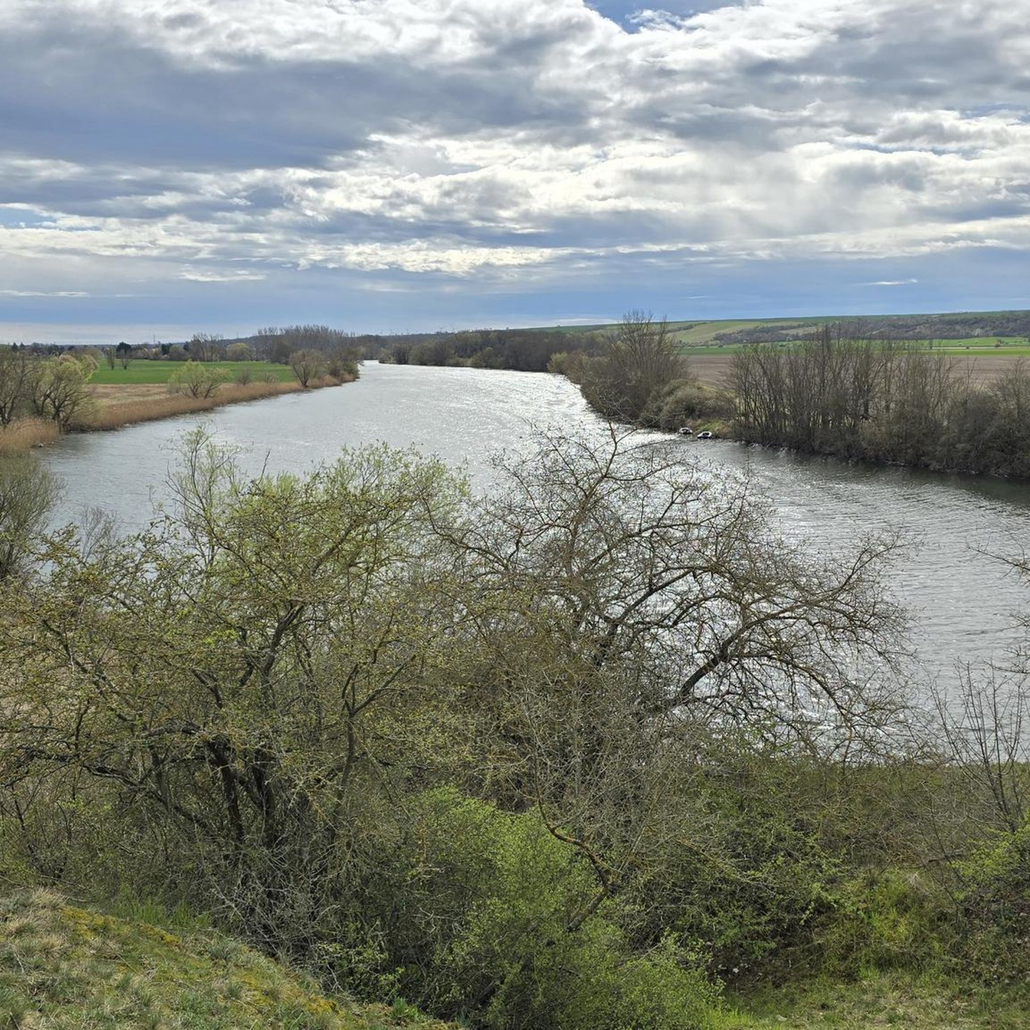
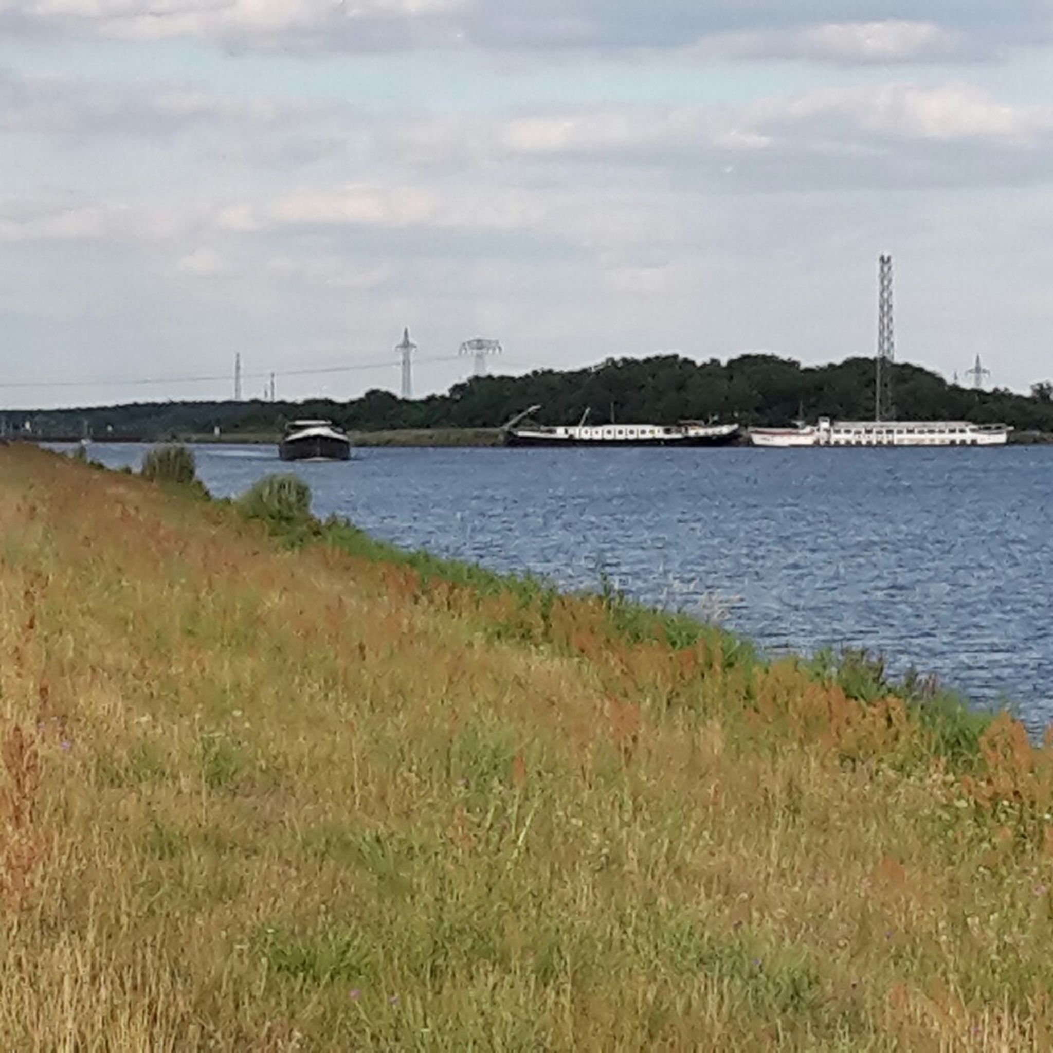
Wonderful section: between Gnevsdorfer Vorfluter and the Elbe, an approx. 20km long island is being created. Fortunately, a cycle path runs across it until shortly before Havelberg. TOP route!
0
0

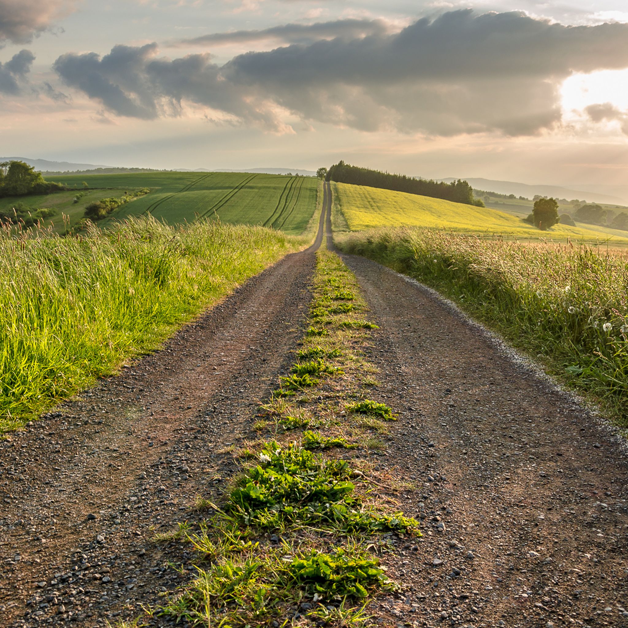
Dreamlike route along the fields
0
0

The lake lies southeast of Bitterfeld-Wolfen and north of Delitzsch and, together with the Muldestausee, encloses the village of Pouch located in the center of the landscape. In 1998, the flooding of the former open-cast mining area began with the introduction of Mulde river water. However, the project was not completed in 2006, but already in 2002: a break in the Mulde dam caused by the Mulde flood caused the body of water to fill up by 7 meters within two days, far exceeding the target water level, so that it overflowed and partially submerged the nearby town of Bitterfeld (maximum water level 78.64 m above sea level, target water level today 75 m above sea level[1]).[2] Water level gauge tower While the open-cast mine extended across Saxony-Anhalt and Saxony, the present-day Großer Goitzschesee is located in the state of Saxony-Anhalt on the border with Saxony. In contrast, the Seelhausener See, located to the south, lies almost entirely in Saxony; formerly, the Goitzsche open-cast mine was also located there. Source https://de.wikipedia.org/wiki/Gro%C3%9Fer_Goitzschesee
5
0
The Große Goitzschesee is the largest lake in the lake district, which emerged from the former Goitzsche open-cast lignite mine (pronounced: Gottsche) in Saxony-Anhalt. The open-cast mine lake belongs to the Bitterfeld mining district. The northeastern bay near Mühlbeck is called Bernsteinsee. Source https://de.wikipedia.org/wiki/Gro%C3%9Fer_Goitzschesee
6
0

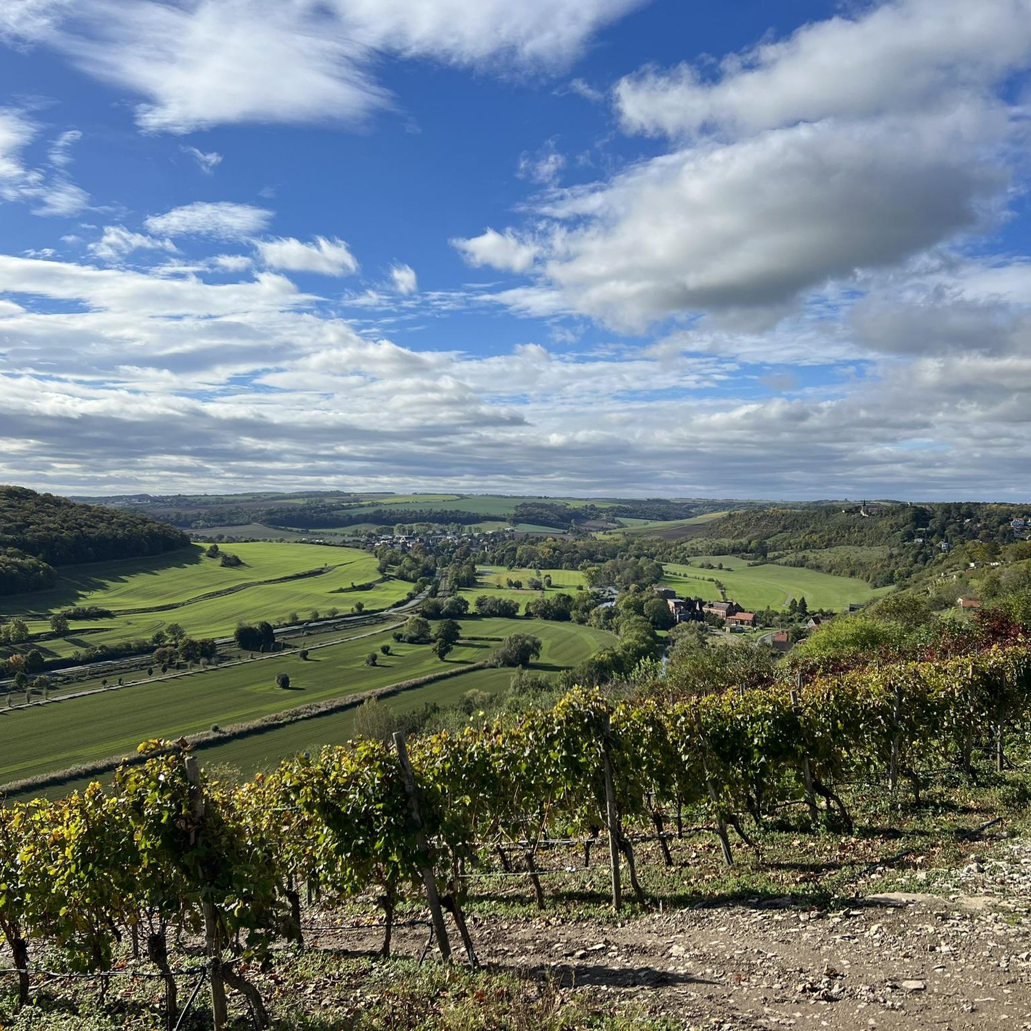
I can really recommend this area – so great and so interesting and varied.
0
0

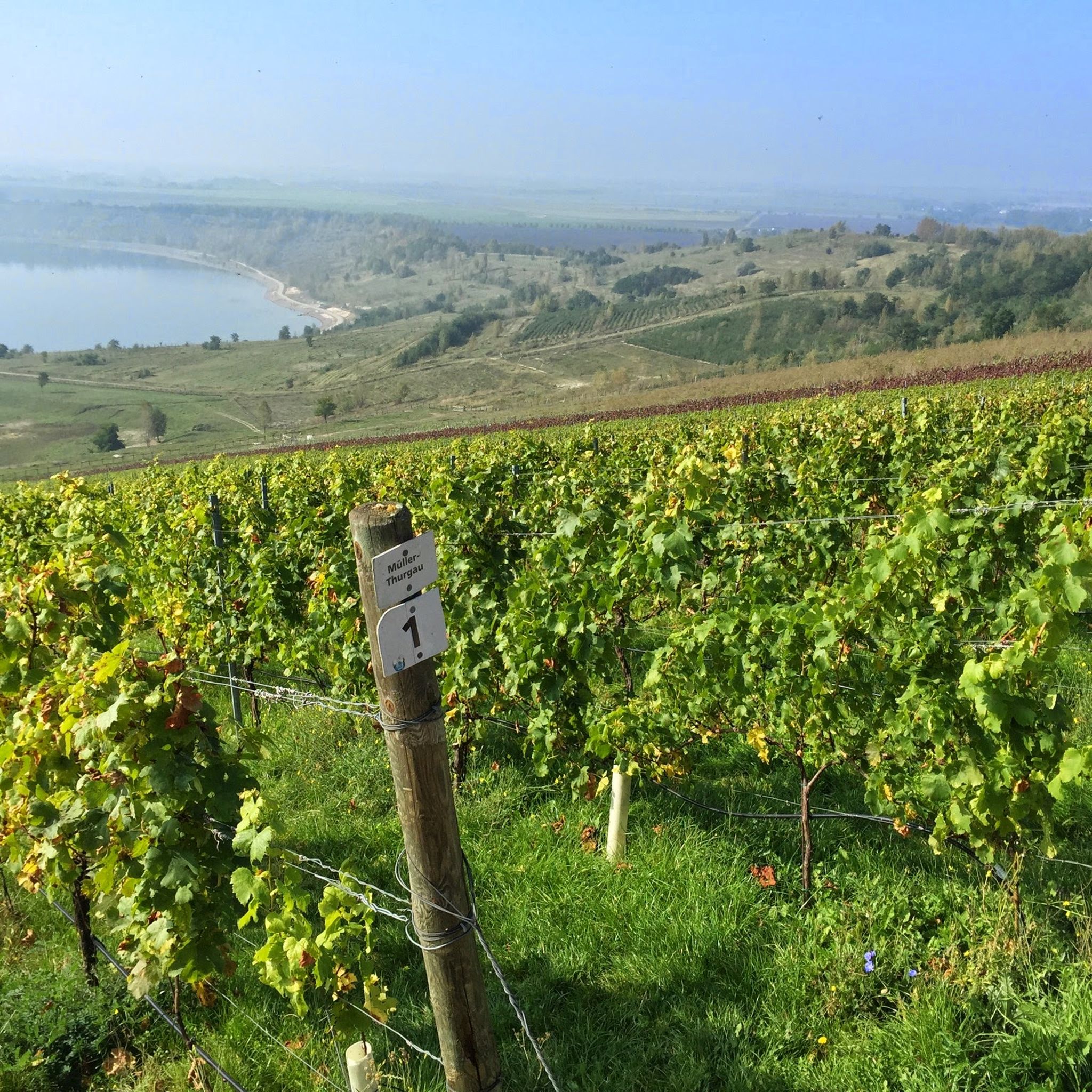
Good wine and beautiful view from the vineyard at Geiseltalsee.
0
0
Frequently Asked Questions
How many touring cycling routes are available in Saxony-Anhalt?
Saxony-Anhalt offers a vast network of touring cycling routes, with over 17,000 options available on komoot. These routes cater to all skill levels, from easy, flat paths to challenging climbs in the mountains.
What kind of terrain can I expect when touring cycling in Saxony-Anhalt?
The region offers diverse terrain. You'll find challenging ascents and scenic views in the Harz Mountains, gentle gradients along the Elbe River floodplains, and picturesque routes through vineyards and past castles in the Saale and Unstrut River Valleys. There are also unique circular routes around former open-cast mines now transformed into lake landscapes like the Goitzsche and Geiseltalsee.
Are there easy touring cycling routes suitable for beginners or families?
Yes, Saxony-Anhalt has over 9,500 easy touring cycling routes. The flat expanses of the Elbe River floodplains and routes around the lake landscapes are particularly well-suited for leisure cyclists and families. An example is the Great Goitzsche Lake – Großer Goitzschesee Gauge Tower loop from Bitterfeld, an easy 28 km route.
Where can I find more challenging touring cycling routes in Saxony-Anhalt?
For more challenging routes, head to the Harz Mountains in the southwest. This area features significant elevation gains and offers routes like Harz Forest Tour - Harz Nature Park/Harz National Park/Südharz, which includes nearly 600 meters of ascent over 33 km.
What are some notable landmarks or attractions I can see along touring cycling routes?
Saxony-Anhalt is rich in cultural and natural attractions. You can cycle through the UNESCO World Heritage Garden Kingdom of Dessau-Wörlitz, explore the Bauhaus city of Dessau, or visit Magdeburg's cathedral. Along the Saale and Unstrut rivers, you'll find medieval towns and castles. The region also features unique natural highlights such as the Lower Ilse Falls and the Great Goitzsche Lake.
Are there any circular touring cycling routes in Saxony-Anhalt?
Yes, many routes in Saxony-Anhalt are designed as loops, offering convenient starting and ending points. Popular circular routes include those around the lake landscapes, such as the Marina Mücheln on Lake Geiseltal – Geiseltalsee Pier loop from Mücheln (Geiseltal), and the Gartenreich-Tour „Fürst Franz“ through the Garden Kingdom of Dessau-Wörlitz.
What is the best time of year for touring cycling in Saxony-Anhalt?
The best time for touring cycling in Saxony-Anhalt is generally from spring to autumn (April to October). During these months, the weather is usually pleasant, and the landscapes are vibrant, especially the vineyards in the Saale-Unstrut region and the Elbe floodplains with their unique nature.
Can I combine touring cycling with public transport in Saxony-Anhalt?
Saxony-Anhalt's well-developed infrastructure often allows for combining cycling with public transport, particularly trains, which can be useful for reaching starting points or shortening longer routes. It's advisable to check specific train lines and their bicycle transport policies in advance.
What do other touring cyclists enjoy most about touring cycling in Saxony-Anhalt?
The komoot community highly rates touring cycling in Saxony-Anhalt, with an average score of 4.5 stars from over 59,000 reviews. Cyclists often praise the region's diverse landscapes, from the challenging Harz Mountains to the serene river valleys, and the well-maintained network of paths that cater to all abilities.
Are there long-distance touring cycling paths in Saxony-Anhalt?
Yes, Saxony-Anhalt is home to several renowned long-distance cycle paths. The Elbe Cycle Path (Elberadweg) stretches for almost 350 kilometers through the region, and the European Cycle Route R1 crosses Saxony-Anhalt for 266 kilometers, connecting varied landscapes and historical sites.
Are there any routes that pass through vineyards or wine regions?
Absolutely. The Saale and Unstrut River Valleys are Germany's northernmost quality wine-growing area. Routes like the Saale Cycle Path and the Unstrut Cycle Path wind through picturesque vineyards, offering a unique blend of natural beauty and cultural heritage.
What kind of accommodation is available for touring cyclists?
Saxony-Anhalt is committed to cycling-friendly infrastructure, including 'Bett und Bike' accommodations. These establishments are specifically geared towards cyclists, offering secure bike storage, drying facilities for clothes, and often tools for minor repairs, ensuring a comfortable stay after a day on the saddle.
Most popular routes in Saxony-Anhalt
Most popular attractions in Saxony-Anhalt

Get inspired with the komoot mobile app


Didn’t find what you were looking for?
Check out more Cycling routes throughout Saxony-Anhalt below and find the perfect route in your destination.
Explore more
Browse the best Cycling routes in other regions.
