The best walks and hikes around Laureana Cilento
4.2
(768)
2,767
hikers
121
hikes
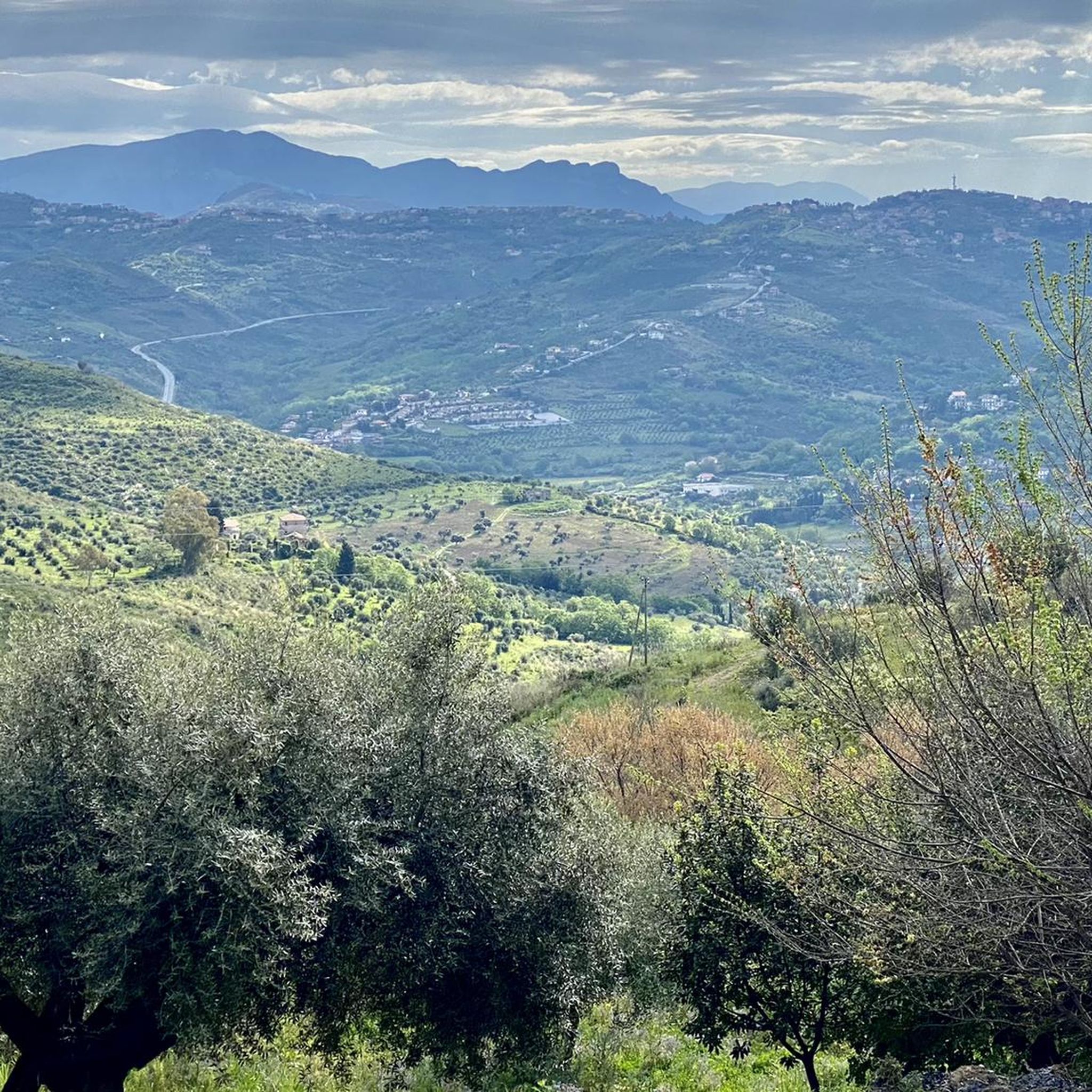
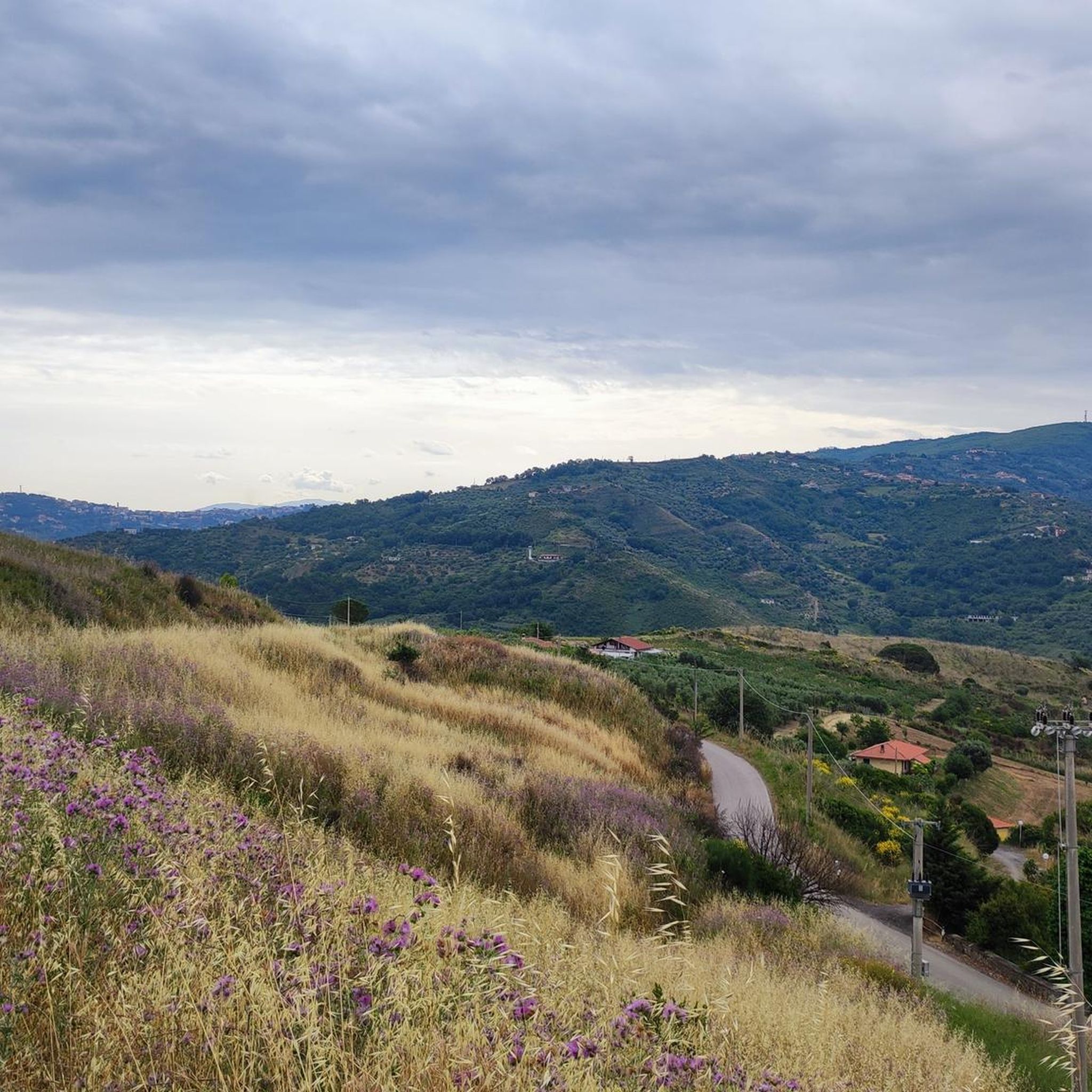
Hiking around Laureana Cilento offers diverse landscapes, characterized by mountainous terrain, lush forests, and coastal paths. The region features prominent peaks like Monte Stella and Monte Tresino, providing extensive views. Trails often follow crystal-clear riverbanks and lead through dense woodlands. The Cilento coast also presents opportunities for walks along dramatic cliffs and hidden bays.
Best hiking trails in Laureana Cilento
- The most popular hiking route is Trezeni Trail, a 7.7 miles (12.5 km) trail that takes 3 hours 39…
Last updated: July 8, 2026
4.6
(110)
305
hikers
12.5km
03:39
340m
340m
Embark on the Trezeni Trail, a moderate hiking route that spans 7.7 miles (12.5 km) and features an elevation gain of 1121 feet (342 metres). You can expect to complete…
3.0
(1)
7
hikers
5.89km
01:35
70m
70m
Easy hike. Great for any fitness level. Easily-accessible paths. Suitable for all skill levels.

Sign up for free
4.7
(42)
129
hikers
Moderate hike. Good fitness required. Easily-accessible paths. Suitable for all skill levels.
4.3
(20)
69
hikers
7.80km
02:16
200m
200m
Moderate hike. Good fitness required. Easily-accessible paths. Suitable for all skill levels.
4.1
(7)
22
hikers
9.85km
03:02
310m
310m
Hard hike. Good fitness required. Sure-footedness, sturdy shoes and alpine experience required.
Get access to more routes and recommendations from other explorers.
Sign up for free
Already have an account?
Our route recommendations are based on thousands of hikes, rides, and runs completed by other people on komoot.
Start today with a free account
Your next adventure awaits.
Login or Signup
Tips from the Community

In Trentova there is an area where parking is free: From June to September you have to arrive early in the morning to find free, non-paid parking.
2
0
Along the Trezeni trail, near Punta Tresino, the "La Panoramica" trail begins. It leaves the coastal path and heads towards Monte Tresino. Extreme caution is required: you must proceed along very small switchbacks that lead upward. Vegetation often blocks the path, and the terrain is slippery and exposed. You must continue like this for about 250-300 meters. Then, the slope eases, but vegetation can completely obstruct the trail, forcing you to find alternative routes through Mediterranean scrub, brambles, and undergrowth. We spent more than half an hour rejoining the trail, which was 20 meters away but completely inaccessible due to the thick vegetation.
2
0
Beautiful panoramic point above Punta Tresino.
2
0

On the way back down the mountain, I asked myself if this little detour was worth it. The answer: yes.
1
0

view of the Picentini Regional Park
0
0

right deviation
1
0

It's great in itself, but no panoramic view is possible because it's quite overgrown.
0
0
Going along the path 700a of Cala Pastena you will come across several descents to the sea on the cliff.
7
0
Frequently Asked Questions
How many hiking trails are available in Laureana Cilento?
Laureana Cilento offers a wide variety of hiking experiences, with over 100 routes to explore. These include 43 easy trails, 52 moderate options, and 13 more challenging routes, catering to all skill levels.
What kind of landscapes can I expect to see while hiking in Laureana Cilento?
Hikers in Laureana Cilento will encounter diverse landscapes, from mountainous terrain with panoramic views over the Gulf of Salerno and the Tyrrhenian Sea, to lush forests and paths along crystal-clear riverbanks. The region also features coastal walks leading to dramatic cliffs and hidden bays.
Are there any easy, family-friendly walks in Laureana Cilento?
Yes, Laureana Cilento has several easy trails suitable for families. An excellent option is The Castle and the promenade – loop tour in Agropoli, an easy 5.9 km path that takes you through coastal areas and historical sites, perfect for a relaxed outing.
What do other hikers say about the trails in Laureana Cilento?
The hiking trails in Laureana Cilento are highly regarded by the komoot community, holding an average rating of 4.3 stars from over 600 reviews. Hikers often praise the varied terrain, stunning views, and the blend of natural beauty with historical elements.
Are there any circular walks available in the area?
Yes, many routes in Laureana Cilento are circular, allowing you to start and end at the same point. A popular moderate circular option is the Ruins of old farmhouses – Monte Tresino Summit View loop from Monte Tresino, which offers panoramic views over 15.8 km.
Can I find trails with historical sites or landmarks?
Absolutely. Laureana Cilento is rich in history. You can explore routes that pass by ancient villages, historical ruins, and even castles. For example, the easy The Castle and the promenade – loop tour in Agropoli leads through coastal areas and historical sites, including the Agropoli Castle.
Are there any trails that offer views of lakes or rivers?
Yes, several trails in the region feature beautiful riverine environments and views of lakes. You can find paths along crystal-clear riverbanks, and some routes offer views of the Lake of the Alento Dam or the Alento River Oasis.
What is the best time of year to go hiking in Laureana Cilento?
The Cilento region, including Laureana Cilento, is known for its rich biodiversity, especially in spring when the Orchid Valley is home to over 150 species of wild orchids. Spring and autumn generally offer pleasant temperatures for hiking, while summer can be warm, making coastal or shaded forest trails more appealing.
Are there any challenging hikes for experienced trekkers?
Yes, Laureana Cilento offers 13 difficult trails for those seeking a greater challenge. These routes often involve more significant elevation gains and longer distances, providing a rewarding experience for experienced hikers.
Can I find trails that lead to viewpoints with extensive vistas?
Many trails in Laureana Cilento lead to spectacular viewpoints. Peaks like Monte Stella offer 360-degree vistas over the Gulf of Salerno and the Tyrrhenian Sea. The Trezeni Trail is a moderate option that provides excellent views of the surrounding hills and valleys.
Are there any trails that explore the coastal areas?
Yes, the Cilento coast, accessible from Laureana Cilento, offers spectacular coastal walks. These paths lead to dramatic cliffs, hidden bays, and quaint fishing villages. The Ruins of old farmhouses – Scoglio del Sale loop from Spiaggia di Trentova is a moderate route that explores coastal scenery.
What kind of natural features can I expect to see on the trails?
Beyond the panoramic views and lush forests, you might encounter unique natural features like the Calore River Gorges with medieval bridges and small waterfalls. The region is also celebrated for its rich biodiversity and unique flora, particularly the wild orchids in springtime.
Most popular attractions around Laureana Cilento

Get inspired with the komoot mobile app


Explore more
Browse the best Hikes in other regions.
