The best walks and hikes around Ogliastro Cilento
4.2
(510)
2,065
hikers
95
hikes
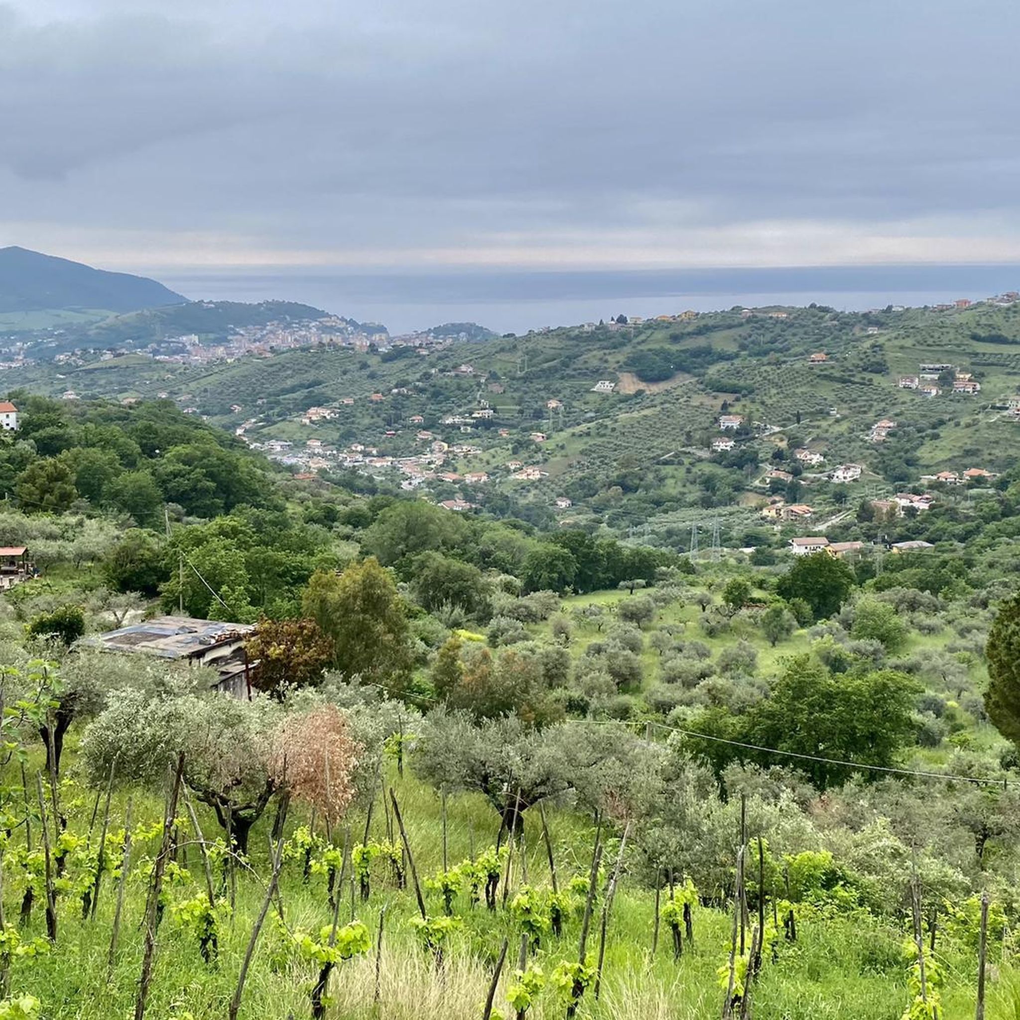
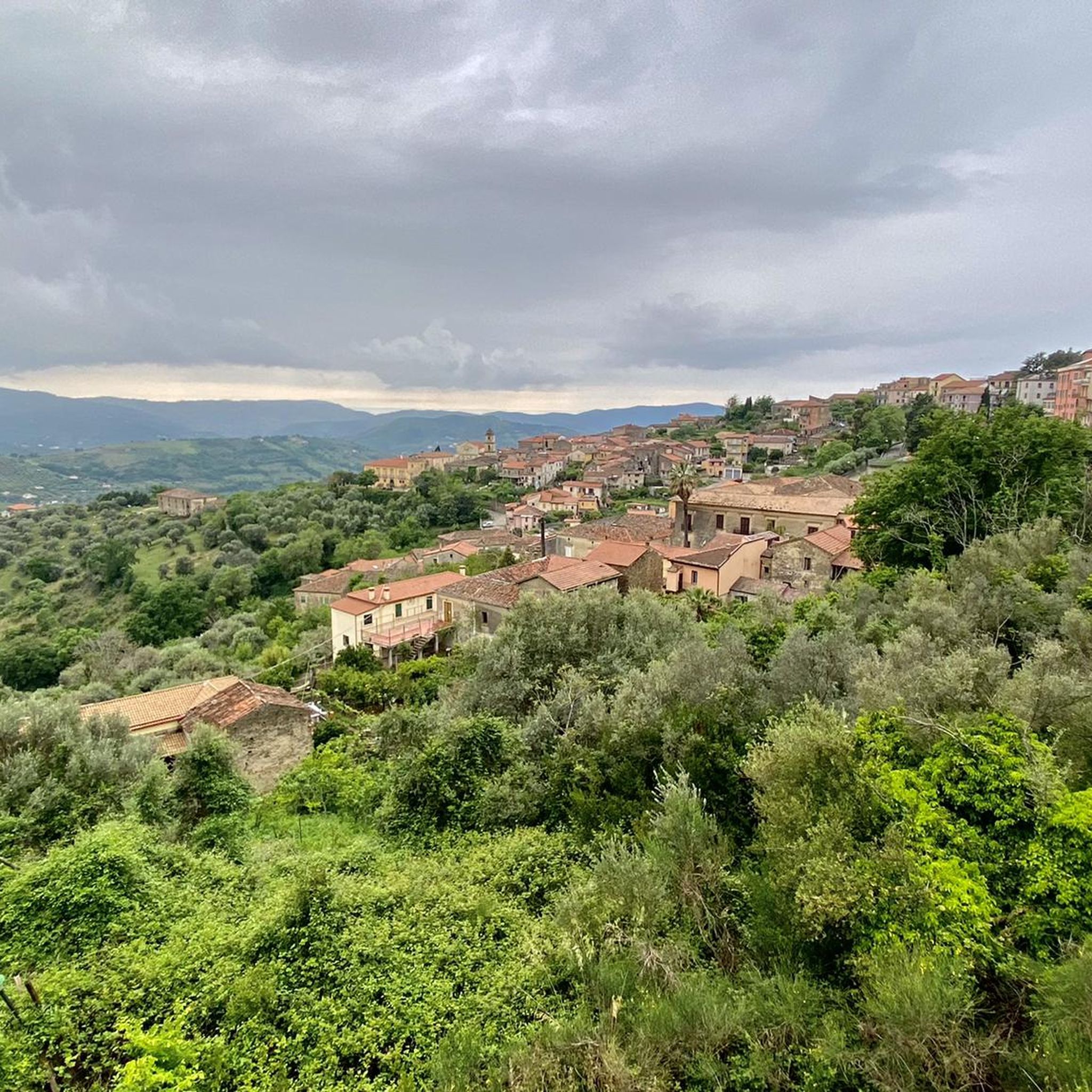
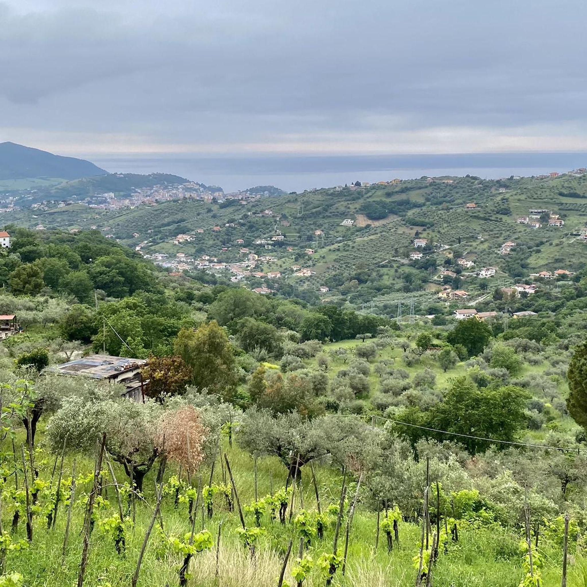
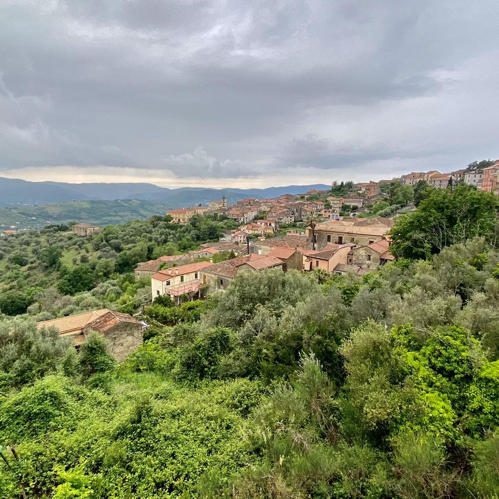
Hiking around Ogliastro Cilento offers diverse trails through a landscape characterized by coastal hills, Mediterranean vegetation, and olive groves. The region features a mix of gentle paths near the sea and more undulating routes inland. Hikers can expect views of the Tyrrhenian Sea and the opportunity to explore historical sites and natural areas. The terrain provides options for various fitness levels, from easy coastal walks to more challenging ascents.
Best hiking trails around Ogliastro Cilento
- The most popular hiking route…
Last updated: May 28, 2026
3.0
(1)
6
hikers
5.89km
01:35
70m
70m
Easy hike. Great for any fitness level. Easily-accessible paths. Suitable for all skill levels.
4.8
(6)
18
hikers
Hard hike. Very good fitness required. Easily-accessible paths. Suitable for all skill levels.

Sign up for free
4.4
(8)
22
hikers
13.2km
03:39
210m
210m
Moderate hike. Good fitness required. Easily-accessible paths. Suitable for all skill levels.
2.0
(1)
40
hikers
6.51km
01:44
70m
70m
Easy hike. Great for any fitness level. Easily-accessible paths. Suitable for all skill levels.
4.5
(2)
13
hikers
21.0km
06:02
440m
430m
Hard hike. Very good fitness required. Sure-footedness, sturdy shoes and alpine experience required.
Get access to more routes and recommendations from other explorers.
Sign up for free
Already have an account?
Our route recommendations are based on thousands of hikes, rides, and runs completed by other people on komoot.
Start today with a free account
Your next adventure awaits.
Login or Signup
Tips from the Community

In Trentova there is an area where parking is free: From June to September you have to arrive early in the morning to find free, non-paid parking.
2
0
Along the Trezeni trail, near Punta Tresino, the "La Panoramica" trail begins. It leaves the coastal path and heads towards Monte Tresino. Extreme caution is required: you must proceed along very small switchbacks that lead upward. Vegetation often blocks the path, and the terrain is slippery and exposed. You must continue like this for about 250-300 meters. Then, the slope eases, but vegetation can completely obstruct the trail, forcing you to find alternative routes through Mediterranean scrub, brambles, and undergrowth. We spent more than half an hour rejoining the trail, which was 20 meters away but completely inaccessible due to the thick vegetation.
2
0
Beautiful panoramic point above Punta Tresino.
2
0

On the way back down the mountain, I asked myself if this little detour was worth it. The answer: yes.
1
0

view of the Picentini Regional Park
0
0

It's great in itself, but no panoramic view is possible because it's quite overgrown.
0
0


The seafront of Agropoli has a wide sidewalk that allows you to take a nice walk overlooking the sea, the port and the historic center. The beach is wide and busy, and there are many restaurants and bars where you can take a relaxing break.
1
0
Frequently Asked Questions
How many hiking trails are available around Ogliastro Cilento?
There are over 80 hiking routes in the Ogliastro Cilento area, offering a wide range of options for different skill levels and preferences. Approximately half of these, 43 routes, are classified as easy.
Are there easy or family-friendly hiking options in Ogliastro Cilento?
Yes, Ogliastro Cilento offers many easy and family-friendly trails. About half of the routes are rated as easy, making them suitable for families or those looking for a relaxed walk. An example is The Castle and the promenade – loop tour in Agropoli, which is 3.7 miles (5.9 km) long and takes about 1 hour 35 minutes.
What kind of views can I expect on hikes in Ogliastro Cilento?
Hikes in Ogliastro Cilento often feature stunning views of the Tyrrhenian Sea, coastal landscapes, and rolling hills covered in Mediterranean vegetation and olive groves. Many trails lead to scenic viewpoints. For example, the Section of Trail 700 with scenic viewpoints offers panoramic vistas, as does The Terrace of Cilento.
Are there any circular walks in the Ogliastro Cilento region?
Yes, many of the trails around Ogliastro Cilento are designed as circular routes, allowing you to start and end at the same point. An example is the Scaloni Ennio Balbo loop from Parcheggio Lido Aurora, a 4.0-mile (6.4 km) coastal walk.
What historical sites or attractions can be found along the hiking trails?
The region is rich in history. You can explore ancient ruins and historical sites along or near many trails. Notable attractions include the Temple of Hera, Paestum, and the walk along Via Magna Grecia in Paestum. Some routes also pass by old farmhouses and charming villages.
What is the best time of year to go hiking in Ogliastro Cilento?
The best time for hiking in Ogliastro Cilento is typically spring (April to June) and autumn (September to October) when the weather is mild and pleasant. Summers can be hot, especially for longer or more exposed trails, but coastal walks can still be enjoyable. Winters are generally mild but can bring more rain.
Are there any trails that pass by old ruins or historical farmhouses?
Yes, the landscape around Ogliastro Cilento features historical elements. The Ruins of old farmhouses – Scenic viewpoint loop from Agropoli is a moderate 8.2-mile (13.2 km) path specifically designed to explore such historical structures and offers scenic viewpoints.
What do other hikers say about the trails in Ogliastro Cilento?
The trails in Ogliastro Cilento are highly regarded by the komoot community, with an average rating of 4.3 stars from over 500 reviews. Hikers often praise the diverse terrain, the beautiful coastal and inland views, and the variety of options available for different fitness levels.
Are there any challenging hikes for experienced trekkers?
While many trails are easy or moderate, Ogliastro Cilento also offers more challenging options. There are 11 routes classified as difficult, providing more demanding ascents and longer distances for experienced trekkers. An example is the Old village of San Giovanni – Ruins of old farmhouses loop from Sole365, which is 13 miles (21 km) long.
Where can I find parking for hiking trails in Ogliastro Cilento?
Many trailheads in the Ogliastro Cilento area, especially those near towns or popular starting points, offer designated parking. For instance, the Scaloni Ennio Balbo loop starts from Parcheggio Lido Aurora, indicating parking availability there. It's advisable to check specific route details for parking information.
Are there any mountain peaks or summits accessible by hiking in the area?
Yes, the region includes several peaks and elevated areas offering rewarding hikes. You can explore highlights like the Monte Tresino Summit View or the Monte Corvara, which provide panoramic views of the surrounding landscape and coastline.
Most popular attractions around Ogliastro Cilento

Get inspired with the komoot mobile app


Explore more
Browse the best Hikes in other regions.
