The best cycling routes around Sant'Arsenio
4.8
(30)
463
riders
64
rides
Touring cycling around Sant'Arsenio offers routes within the Cilento, Vallo di Diano and Alburni National Park, a UNESCO-recognized biosphere reserve. The region features rolling hills, diverse ecosystems, and mountainous terrain, including the Alburni Mountains. Cyclists can navigate routes through varied landscapes, from ancient olive groves to beech woods, with significant elevation changes. The area provides access to the Tanagro Valley and offers panoramic views from higher elevations.
Best touring cycling routes around Sant'Arsenio
- The most popular touring cycling route is…
Last updated: July 8, 2026
5.0
(1)
16
riders
94.4km
06:53
2,000m
2,000m
Hard bike ride. Very good fitness required. Mostly paved surfaces. Suitable for all skill levels.
5
riders
96.1km
06:32
1,610m
1,610m
Hard bike ride. Very good fitness required. Mostly paved surfaces. Suitable for all skill levels.

Sign up for free
11
riders
51.5km
03:31
690m
690m
Hard bike ride. Very good fitness required. Mostly paved surfaces. Suitable for all skill levels.
6
riders
58.6km
03:54
800m
800m
Hard bike ride. Very good fitness required. Mostly paved surfaces. Suitable for all skill levels.
7
riders
41.1km
02:44
590m
590m
Hard bike ride. Very good fitness required. Mostly paved surfaces. Suitable for all skill levels.
Get access to more routes and recommendations from other explorers.
Sign up for free
Already have an account?
Our route recommendations are based on thousands of hikes, rides, and runs completed by other people on komoot.
Start today with a free account
Your next adventure awaits.
Login or Signup

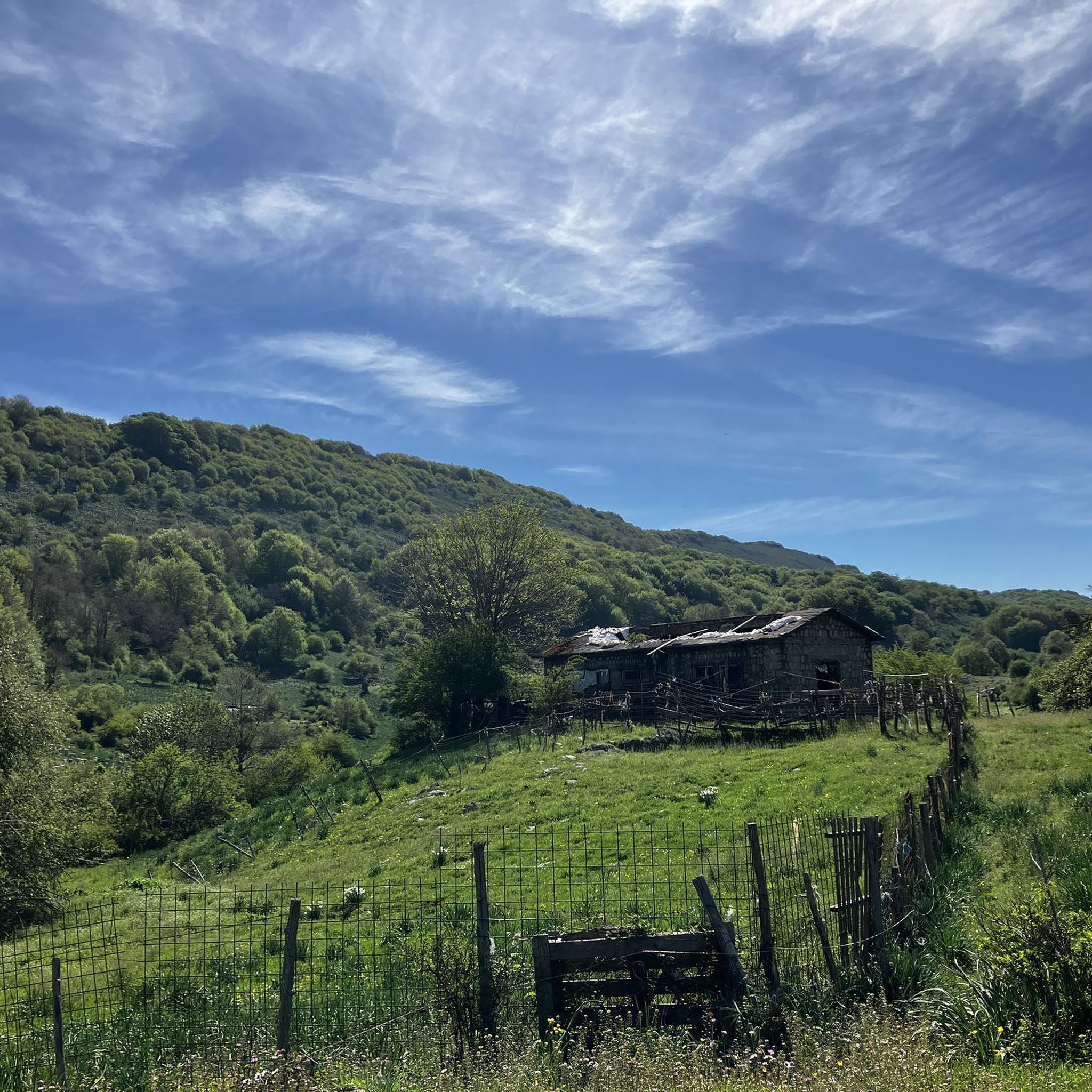
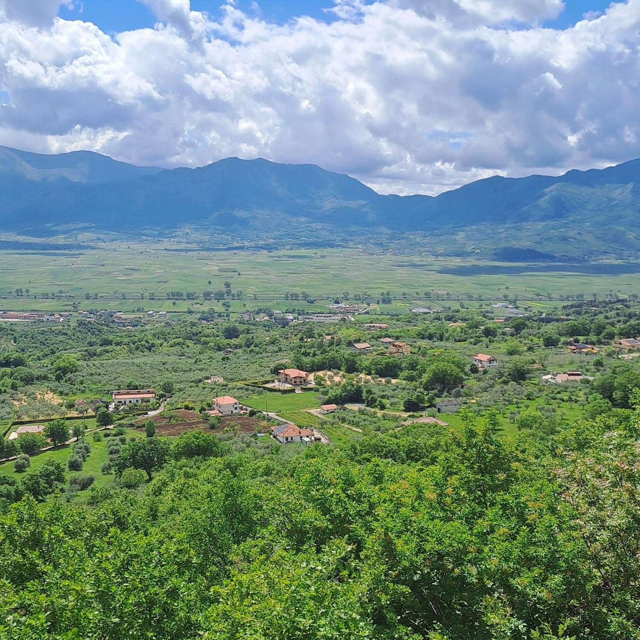
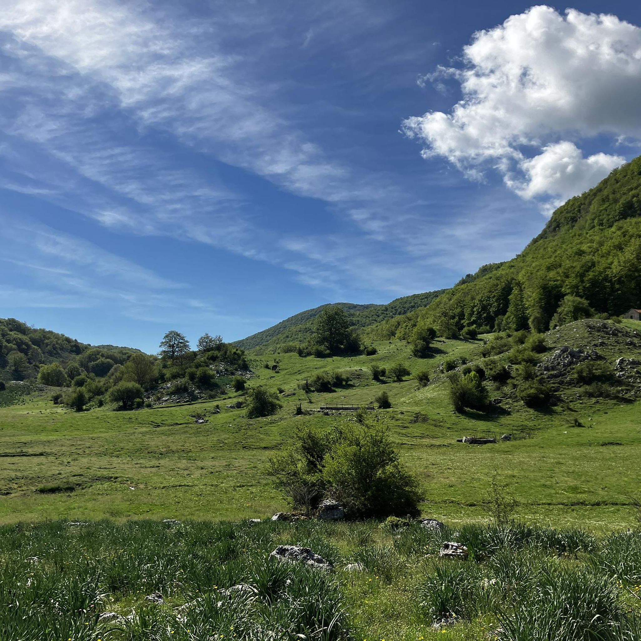
Tips from the Community

Spectacular passage through the mountains
0
0

Petina is perhaps one of the most mountainous villages in Campania. It sits directly on the slopes of the Alburni Mountains, completely surrounded by centuries-old chestnut groves. The village is very small and offers a grocery store, almost always open and well-stocked, a restaurant renowned for its local dishes, and a bar with tables in a beautiful courtyard.
1
0

Panoramic area, in the historic center
0
0

Absolutely worth a visit, a town that has remained authentic and is unfortunately depopulating, but which has so much to offer.
0
0
A climb immersed in the shade of the woods, with several steep sections but also several stretches that allow you to catch your breath.
0
0

Surrounded by dense beech woods, Sant'Angelo a Fasanella is a village located on the south-eastern slopes of the Alburni mountains. In addition to the spectacular surrounding nature, the Grotta di San Michele Arcangelo is not to be missed.
0
0

Impressive view of the gorges of the Sammaro River. We are in the municipality of Sacco, and the bridge (130 meters high) is one of the highest single arch bridges in Europe. Nearby is the spring cave of Sammaro, reachable by a path on the road to Roscigno.
2
0
Frequently Asked Questions
What kind of terrain can I expect on touring cycling routes around Sant'Arsenio?
Touring cycling around Sant'Arsenio primarily features rolling hills and mountainous terrain, as it's nestled within the Cilento, Vallo di Diano and Alburni National Park. You'll encounter diverse landscapes, from ancient olive groves and tranquil valleys to challenging climbs through beech woods in the Alburni Mountains. Routes often include significant elevation changes, offering rewarding panoramic views, especially towards the Tanagro Valley.
How many touring cycling routes are available in the Sant'Arsenio area?
There are over 50 touring cycling routes available around Sant'Arsenio. These routes cater to various skill levels, though the majority, about 44, are classified as difficult, indicating significant elevation gains and distances. There are also a few moderate and easy options for those seeking a less strenuous ride.
What are some notable natural features or landmarks I can see while cycling near Sant'Arsenio?
The region offers a wealth of natural and historical attractions. You can explore the Il Figliolo Summit for panoramic views, or visit the ancient Sacrificial basin of the Antece. The area is also known for its caves, such as The Cave of San Michele – UNESCO World Heritage Site and Grotta di Pertosa-Auletta, which can be combined with your cycling adventures.
Are there any circular touring cycling routes starting from Sant'Arsenio?
Yes, many routes in the area are designed as loops. For instance, the Eastern Alburni Mountains loop from Sant'Arsenio is a difficult 41.5 km route that starts and ends in Sant'Arsenio, offering a challenging ride through the mountains.
What is the best time of year to go touring cycling in Sant'Arsenio?
The region benefits from a mild climate, making it suitable for touring cycling for much of the year. Spring and autumn generally offer the most comfortable temperatures for longer rides, with pleasant weather and vibrant scenery. Even during shoulder seasons, the climate is conducive for comfortable touring.
Are there any family-friendly touring cycling routes around Sant'Arsenio?
While many routes in the immediate vicinity are classified as difficult due to significant elevation changes, the broader Cilento, Vallo di Diano and Alburni National Park offers varied terrain. For families, it's advisable to look for routes specifically marked as 'easy' or 'moderate' and consider those with less elevation gain, perhaps along flatter valley sections, though specific family-friendly routes are not highlighted in the provided data.
What do other touring cyclists say about their experience in Sant'Arsenio?
The touring cycling routes around Sant'Arsenio are highly rated by the komoot community, with an average score of 4.8 stars from over 20 reviews. Cyclists often praise the varied terrain, the immersive experience within the national park, and the challenging yet rewarding climbs that offer splendid panoramic views.
Can I find accommodation or places to eat that are cyclist-friendly in Sant'Arsenio?
Sant'Arsenio and the surrounding charming villages along routes like the Via Silente offer opportunities to experience local culture and traditions, which often includes local eateries and accommodations. While specific cyclist-friendly establishments aren't detailed, the region's focus on outdoor tourism suggests a welcoming environment for visitors.
Are there any routes that combine historical sites with touring cycling?
Absolutely. The Roman Bridge of Polla – Village of Petina loop from Atena Lucana is a great example, leading through historical sites and local villages. The broader region also features ancient towns and historical remains, such as the Antece – Costa Palomba, dating back over 2000 years, allowing for a rich cultural immersion alongside your ride.
What is the longest touring cycling route available near Sant'Arsenio?
One of the longest routes is the Eastern Alburni Mountains – Sant'Angelo a Fasanella loop from Atena Lucana, which spans approximately 95.6 km (59.4 miles). This difficult route features significant elevation gain, making it a substantial challenge for touring cyclists.
Are there any routes with significant elevation gain for experienced touring cyclists?
Yes, the region is known for its challenging climbs. The Sant'Angelo a Fasanella – Sacco Bridge loop from Atena Lucana, for example, is a difficult 94.4 km route with over 2000 meters of elevation gain, exploring the area around the Sacco Bridge and offering a demanding experience for seasoned cyclists.
Is public transport available for cyclists in the Sant'Arsenio area?
While the region is well-suited for cycling, specific details on public transport options that accommodate bicycles are not provided. It's generally recommended to plan your routes to start and end at your accommodation or a designated parking area, especially for multi-day tours like those integrated with the Via Silente.
Most popular attractions around Sant'Arsenio

Get inspired with the komoot mobile app


Explore more
Browse the best Cycling routes in other regions.
