The best road cycling routes around Campolongo Sul Brenta
4.5
(800)
25,953
riders
150
rides
Road cycling around Campolongo Sul Brenta is characterized by the Brenta Valley and surrounding mountains, offering diverse terrain for cyclists. The region features prominent peaks like Monte Grappa and Monte Caina, providing significant elevation gains. The Brenta River flows through the valley, with sections offering dedicated cycle paths. This area presents a variety of road cycling routes, from challenging mountain ascents to more gentle valley rides.
Best road cycling routes around Campolongo Sul Brenta
- The most popular road cycling route…
Last updated: October 27, 2026
4.9
(15)
372
riders
92.0km
05:14
2,030m
2,030m
Hard road ride. Very good fitness required. Some segments of this route may be unpaved and difficult to ride.
4.0
(1)
175
riders
87.8km
04:22
1,260m
1,260m
Hard road ride. Very good fitness required. Some segments of this route may be unpaved and difficult to ride.

4.8
(4)
135
riders
112km
05:07
1,140m
1,140m
Hard road ride. Very good fitness required. Some segments of this route may be unpaved and difficult to ride.
5.0
(1)
58
riders
107km
06:07
2,180m
2,180m
Hard road ride. Very good fitness required. Some segments of this route may be unpaved and difficult to ride.
42
riders
83.8km
03:19
260m
260m
Moderate road ride. Good fitness required. Some segments of this route may be unpaved and difficult to ride.
Get access to more routes and recommendations from other explorers.
Already have an account?
Our route recommendations are based on thousands of hikes, rides, and runs completed by other people on komoot.
Start today with a free account
Your next adventure awaits.
Popular around Campolongo Sul Brenta

Other adventures around Campolongo Sul Brenta

Tips from the Community

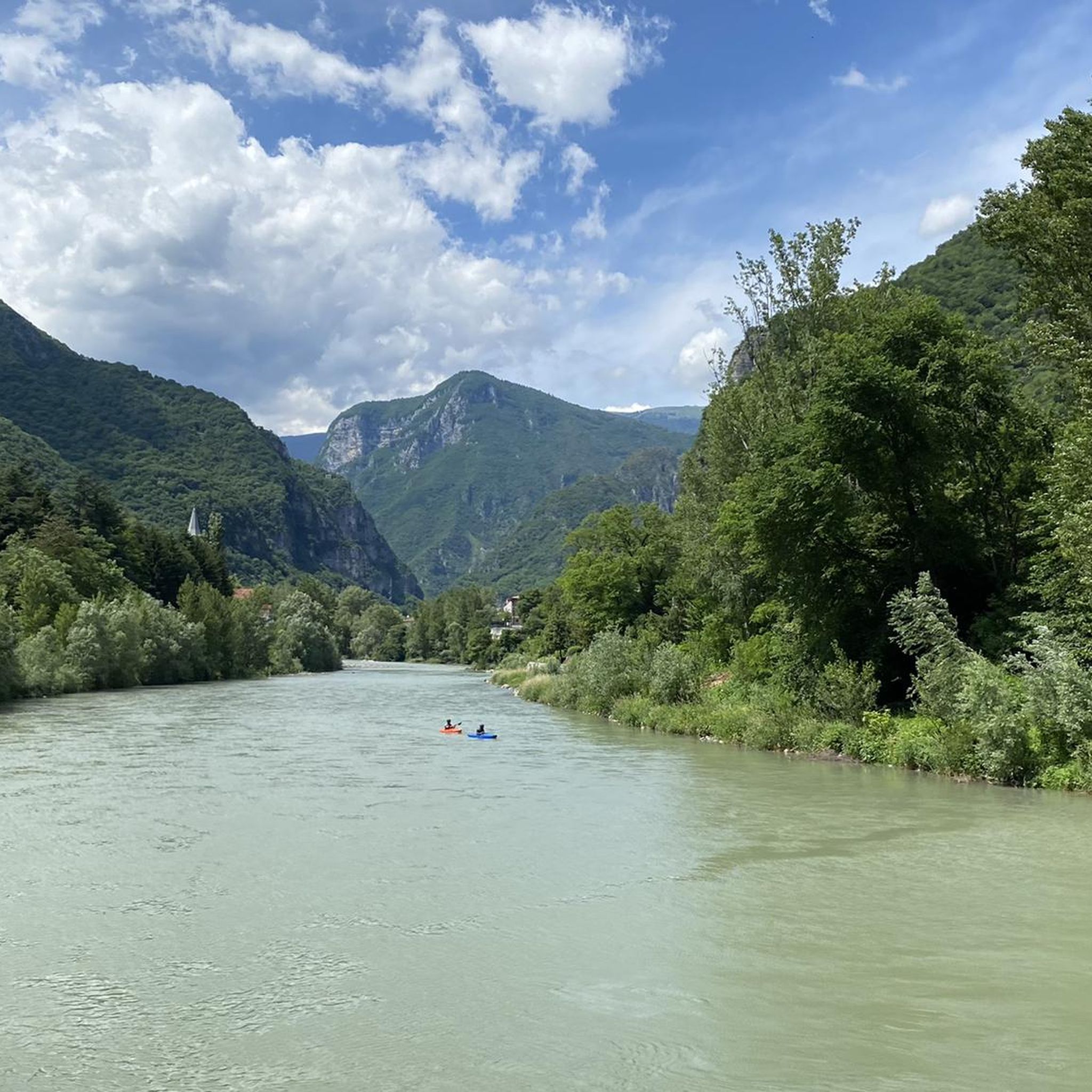
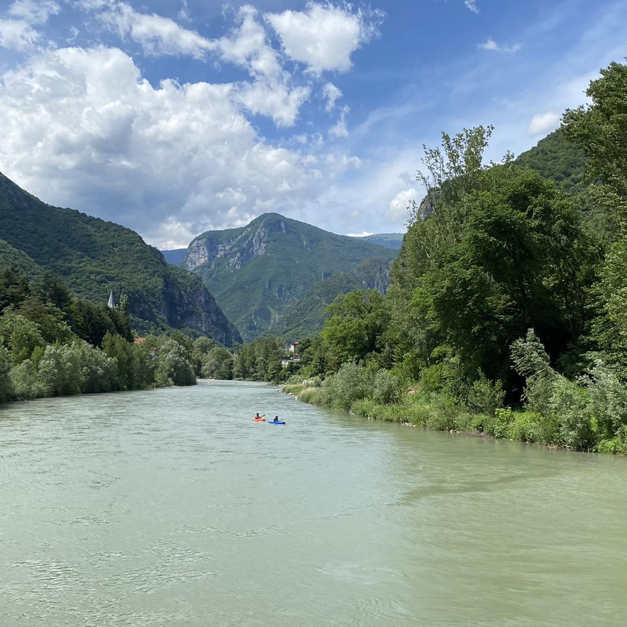
Lago del Corlo, located in the heart of the Val Bellunese in Veneto, is a picturesque artificial reservoir nestled between steep woods and rocky cliffs. Created by the damming of the Cismon stream, it offers scenery of extraordinary beauty thanks to its emerald green waters and hidden coves that resemble a Norwegian fjord. It is an ideal destination for those who love tranquility, hiking, and water sports such as kayaking and SUP. One of its most iconic features is the famous pedestrian walkway suspended over the water, which offers spectacular and thrilling views of the entire surrounding landscape. Between unspoiled nature and corners of absolute peace, it represents a perfect refuge far from the daily chaos.
0
0

The name derives from the Latin Fundus Cintericus (rural estate of Cinterio) and has been historically documented since 1080. It is located in the Vicenza plain, rich in springs and crossed by the Astico and Laverda streams, northeast of the provincial capital along the road to Marostica and Bassano del Grappa. The area is known for its high concentration of Venetian villas and historical oratories, including Villa Sesso Schiavo and Villa Chiericati
0
0
Marostica is a splendid medieval walled city located in Veneto, in the province of Vicenza, famous all over the world for its extraordinary living chess game and for the production of the IGP cherry. Nestled between the hills and the plain, it offers a perfect combination of history, architecture and local traditions
0
0

Absolutely worth seeing and plenty of opportunities for a short break.
1
0
Great ensemble in the old town of Vicenza.
1
0

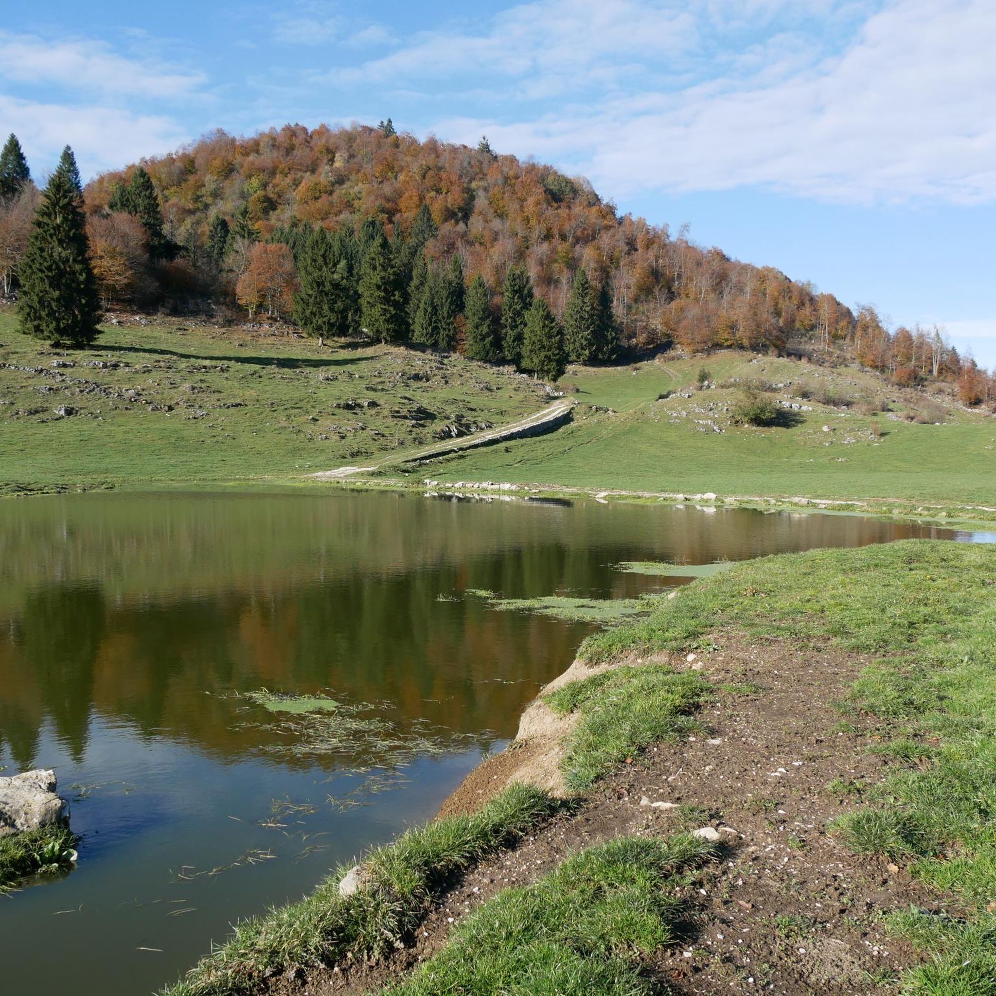
Cima di Campo (1,425–1,512 m) in Arsiè is a well-known mountain and alpine pass in the Belluno Dolomites, famous for its cycling climb, the Forte Leone from World War I, and hiking routes. Length: Approximately 18.5 km starting from the center of Arsiè. Elevation gain and Gradient: 1,111 meters of elevation gain with an average gradient of 6% and double-digit peaks in the initial sections towards Mellame and Col Perer. Famous for being the first iconic climb of the Dolomiti Bellunesi cycling granfondo. Forte Leone: A large armored military fortress built between 1906 and 1912 to defend the border, currently undergoing renovation.
1
0
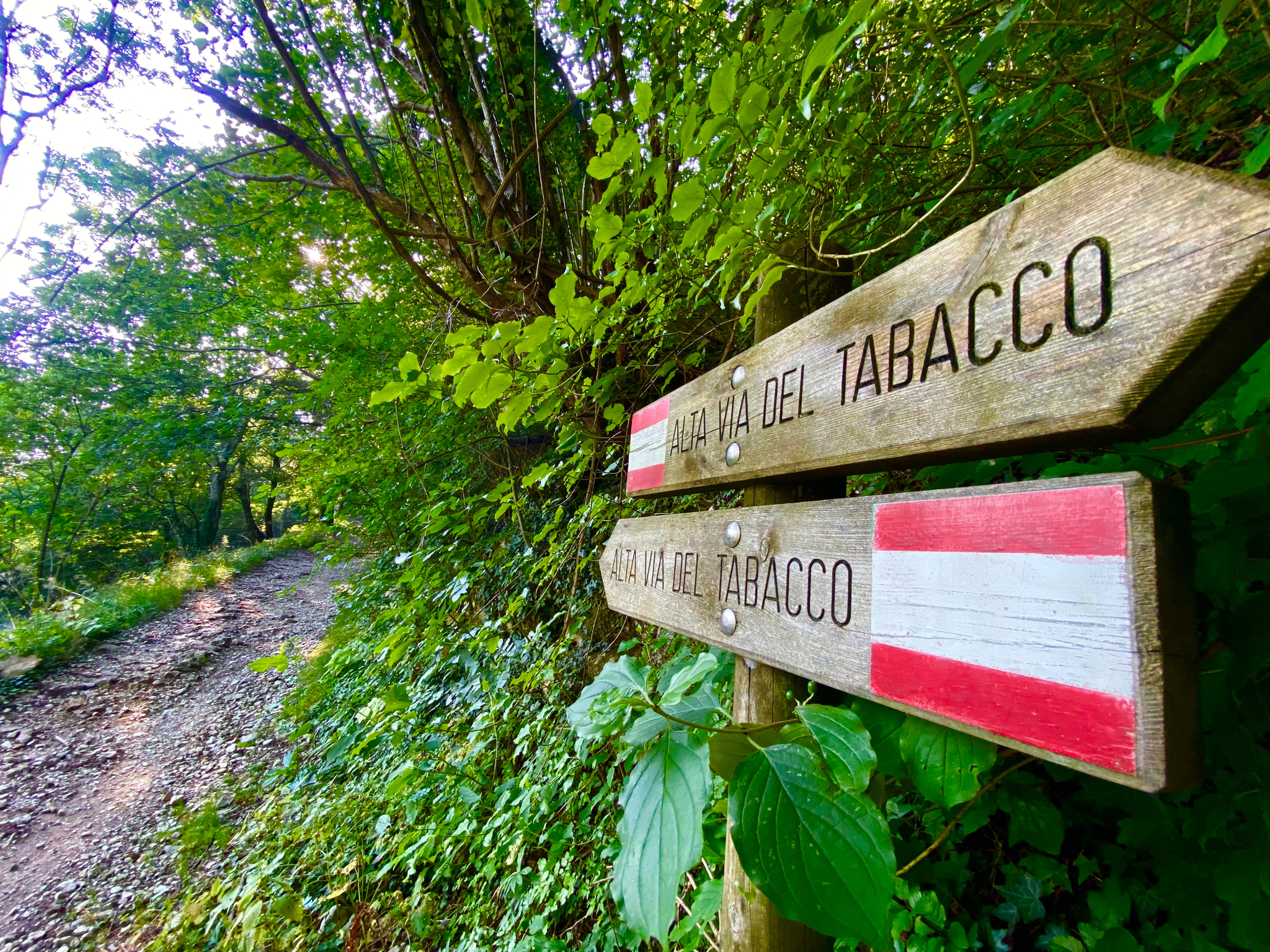
historic mountain road with eight hairpin bends, the Tagliata della Scala and the Tagliata delle Fontanelle. They are located between the Valsugana and the territory of Feltre, in Veneto. The fortifications: Between 1892 and 1895, the Tagliata della Scala in the lower part and the Tagliata delle Fontanelle in the upper part were built to defend the border. The walkway: The two parts are joined by a long covered gallery with loopholes. War: They did not play a major military role during World War I and were later abandoned.
0
0

The cycle path towards Cismon del Grappa, very cool and shaded.
0
0
Frequently Asked Questions
How many road cycling routes are available around Campolongo Sul Brenta?
There are over 150 road cycling routes around Campolongo Sul Brenta, offering a wide range of options for different skill levels and preferences. You can find routes varying from easy valley rides to challenging mountain ascents.
What are the typical terrain and elevation challenges for road cycling in this region?
Road cycling around Campolongo Sul Brenta is characterized by the picturesque Brenta Valley and surrounding mountains. You'll encounter significant elevation gains on routes that ascend prominent peaks like Monte Grappa and Monte Caina, which offer breathtaking panoramic views. The region also features flatter sections along the Brenta River.
What is the best time of year for road cycling in Campolongo Sul Brenta?
The spring and summer months generally offer the most favorable weather conditions for road cycling in Campolongo Sul Brenta, with pleasant temperatures. However, the region's diverse terrain means that even in shoulder seasons, you can find enjoyable routes, especially in the valley areas.
Are there road cycling routes suitable for beginners or families in Campolongo Sul Brenta?
Yes, Campolongo Sul Brenta offers routes suitable for various abilities. While many routes feature significant climbs, there are approximately 24 easy routes available. The Valsugana cycle-pedestrian path, accessible from the area, provides a true cycle path experience with gentler gradients, perfect for families or those seeking a more relaxed ride.
What do other cyclists say about road cycling in Campolongo Sul Brenta?
The road cycling routes around Campolongo Sul Brenta are highly rated by the komoot community, with an average score of 4.5 stars from over 550 reviews. Cyclists often praise the diverse terrain, from challenging mountain passes to scenic valley rides, and the stunning natural beauty of the Brenta Valley.
Are there any notable landmarks or viewpoints along the road cycling routes?
Absolutely. Many routes offer stunning viewpoints. For instance, the ascent to Monte Grappa provides breathtaking panoramic views. Monte Caina also offers expansive views of the Po Valley and even glimpses of Venice on clear days. You can also explore historical sites like the Sanctuary of the Madonna del Caravaggio at Buso or natural wonders like the Oliero Caves.
Are there any specific cycle paths for road bikes in the region?
Yes, the Brenta River features a long bicycle path connecting Bassano del Grappa to Lake Caldonazzo. A particularly pleasant 5km section of this path runs between Campolongo sul Brenta and Valstagna, offering a dedicated and scenic route for road cyclists.
Where can I find parking for road cycling in Campolongo Sul Brenta?
While specific parking areas for cyclists are not detailed, Campolongo Sul Brenta, as a local village, typically offers public parking options. It's advisable to check local signage upon arrival or consult with local tourist information for the most convenient starting points and parking facilities.
Are there any cafes or restaurants suitable for cyclists along the routes?
The region around Campolongo Sul Brenta, being popular with cyclists, has various cafes, pubs, and restaurants in its villages and towns. While specific establishments are not listed, you'll find options for refreshments and meals in places like Solagna, San Nazario, and other communities along the main cycling routes.
Can I reach Campolongo Sul Brenta by public transport with my bike?
Public transport options to Campolongo Sul Brenta may include local bus services. It's recommended to check the specific policies of regional transport providers regarding bicycle carriage, as these can vary. For longer distances, train services to nearby larger towns might be an option, followed by a shorter ride or local connection.
Are there any long-distance or challenging road cycling loops from Campolongo Sul Brenta?
Yes, the area is known for challenging loops. For example, the Lake Corlo – Cima di Campo loop from Solagna is a difficult 106.9 km route with significant elevation. Another challenging option is the View of the Tempio Canoviano – Santo Stefano di Valdobbiadene loop from Solagna, covering over 109 km.
What kind of natural features can I expect to see while cycling?
You'll be cycling through the scenic Brenta Valley, with the Brenta River as a central element. The landscape is framed by mountains, including the prominent Monte Grappa. The wider region is also close to the Adamello Brenta Natural Park, a UNESCO Global Geopark known for its majestic peaks, thick woods, and diverse fauna, influencing the natural beauty of the surrounding areas.
Are there any moderate difficulty road cycling routes?
Yes, Campolongo Sul Brenta offers a good selection of moderate routes. An example is the Valstagna and the River Brenta – View of Valstagna loop from San Nazario, which is a 31.2 km route with a moderate elevation gain, perfect for a solid ride without extreme challenges.
Most popular routes around Campolongo Sul Brenta
Most popular attractions around Campolongo Sul Brenta

Get inspired with the komoot mobile app


Explore more
Browse the best Road cycling routes in other regions.
