The best walks and hikes around Campolongo Sul Brenta
4.4
(4782)
21,653
hikers
12
hikes
Hiking around Campolongo Sul Brenta offers diverse landscapes in the province of Vicenza, Veneto, northern Italy. The region is characterized by striking limestone cliffs, the carved Brenta Valley, and unique "Masiere" terraces built into steep slopes. Hikers can explore the Val Brutta canyon, follow the River Brenta, and traverse extensive forests, including beech woodlands.
Best hiking trails around Campolongo Sul Brenta
- The most popular hiking route is Sentiero Didattico Antonia Dal Sasso through Val Brutta canyon, a 2.0 miles…
Last updated: August 17, 2026
4.3
(4)
10
hikers
3.26km
01:14
230m
220m
Easy hike. Great for any fitness level. Easily-accessible paths. Suitable for all skill levels.
4.0
(1)
6
hikers
12.0km
05:11
1,010m
1,010m
Hard hike. Very good fitness required. Mostly accessible paths. Sure-footedness required.

Sign up for free
2
hikers
11.1km
04:50
960m
960m
Hard hike. Very good fitness required. Sure-footedness, sturdy shoes and alpine experience required.
4.7
(18)
120
hikers
Moderate hike. Good fitness required. Easily-accessible paths. Suitable for all skill levels.
4.6
(10)
35
hikers
10.9km
03:51
550m
550m
Moderate hike. Good fitness required. Mostly accessible paths. Sure-footedness required.
Get access to more routes and recommendations from other explorers.
Sign up for free
Already have an account?
Our route recommendations are based on thousands of hikes, rides, and runs completed by other people on komoot.
Start today with a free account
Your next adventure awaits.
Login or Signup
Popular around Campolongo Sul Brenta
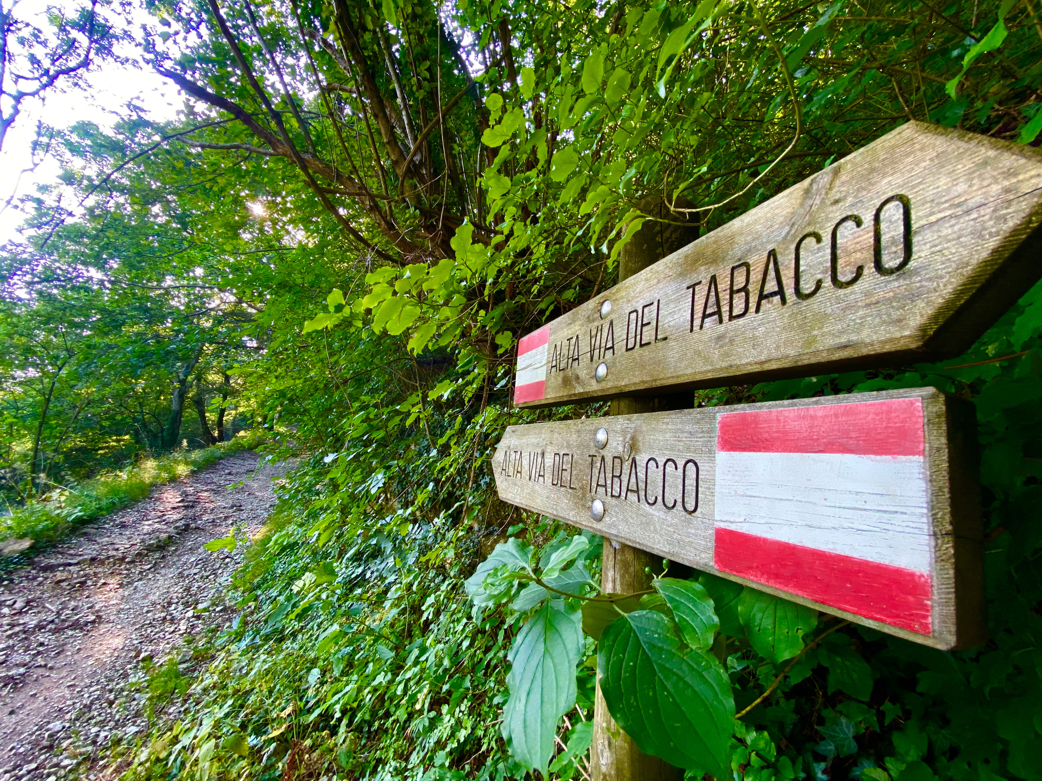
Hike an old smugglers’ road – Alta Via del Tabacco
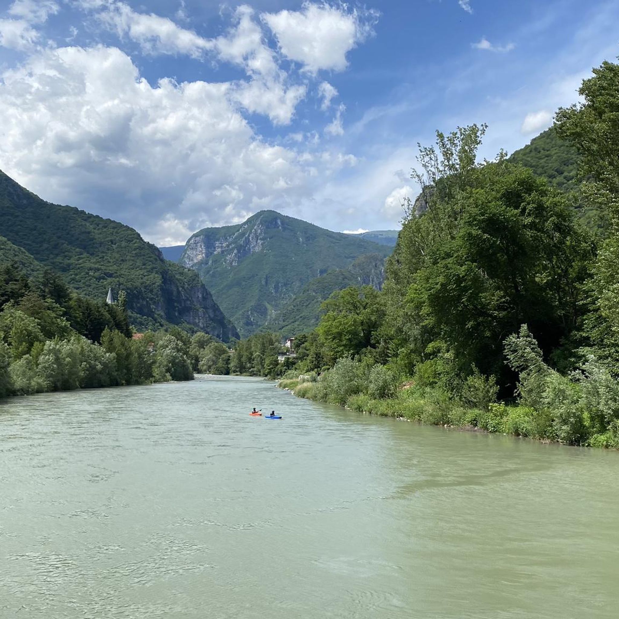
MTB Trails around Campolongo Sul Brenta
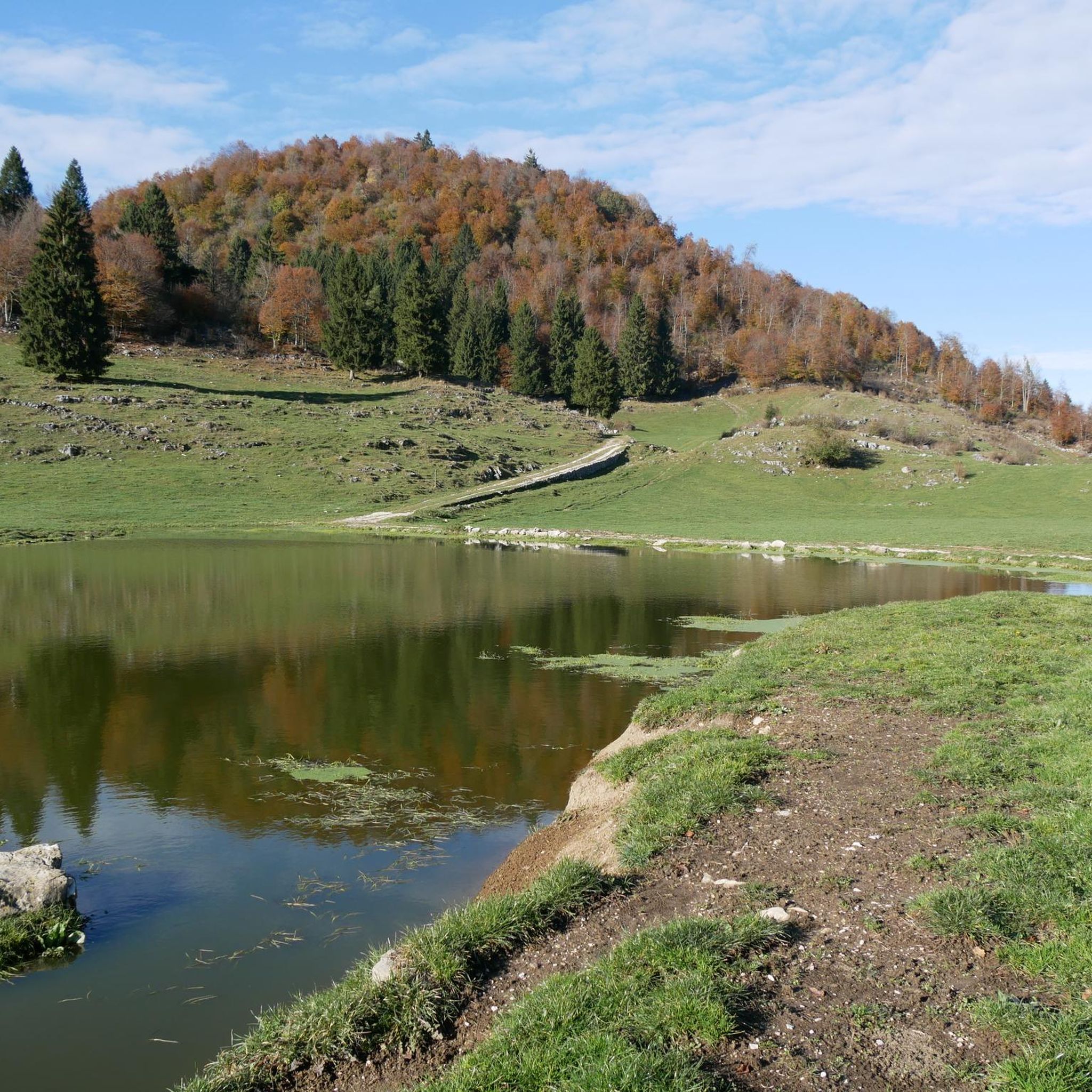
Running Trails around Campolongo Sul Brenta
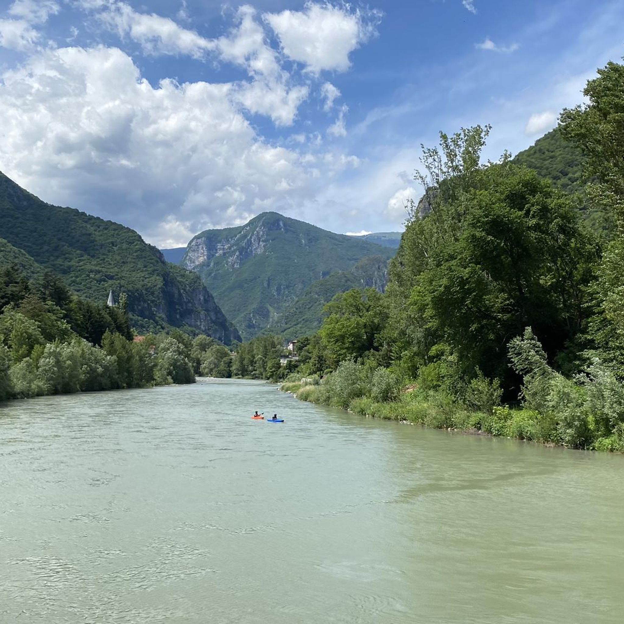
Road Cycling Routes around Campolongo Sul Brenta
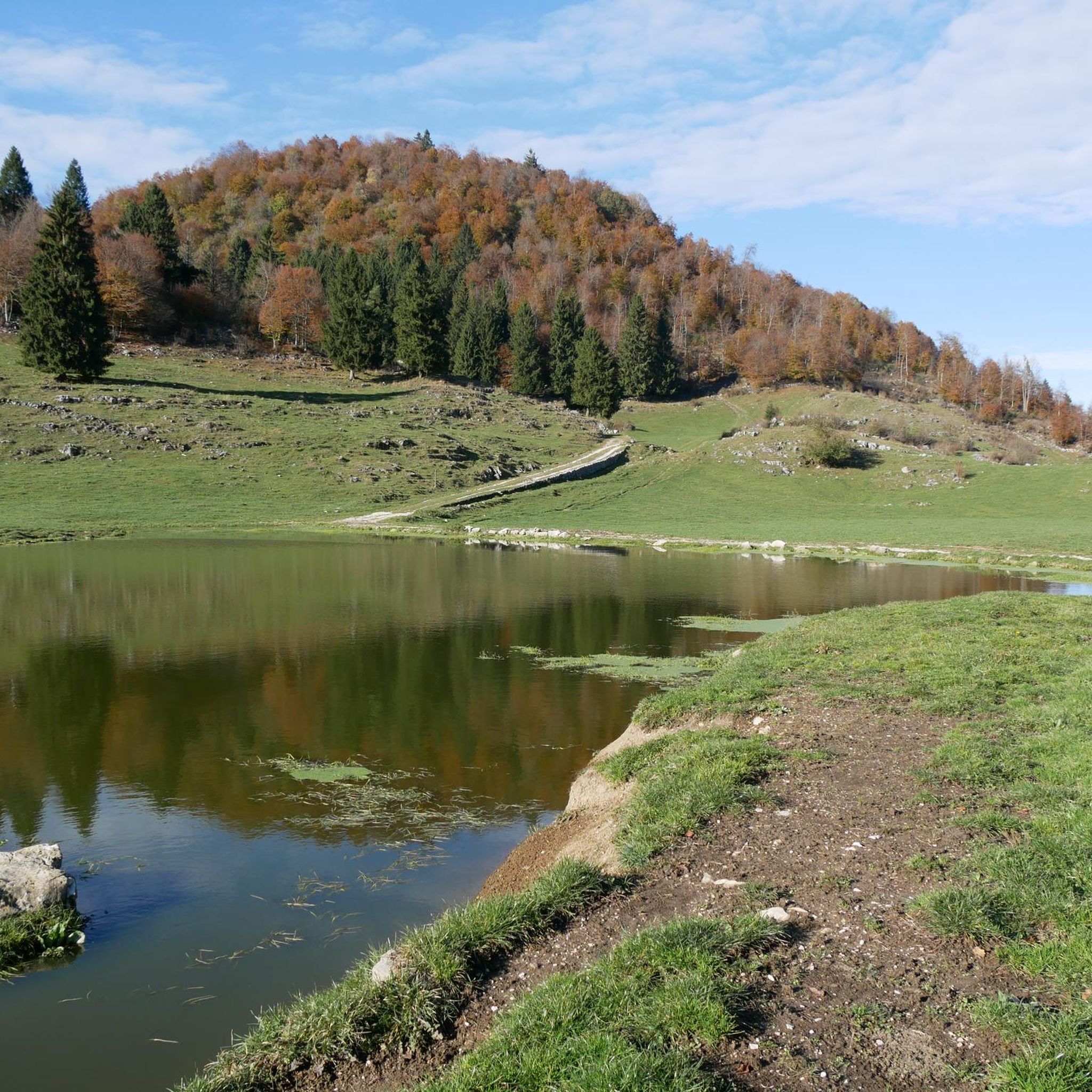
Cycling around Campolongo Sul Brenta

Gravel biking around Campolongo Sul Brenta
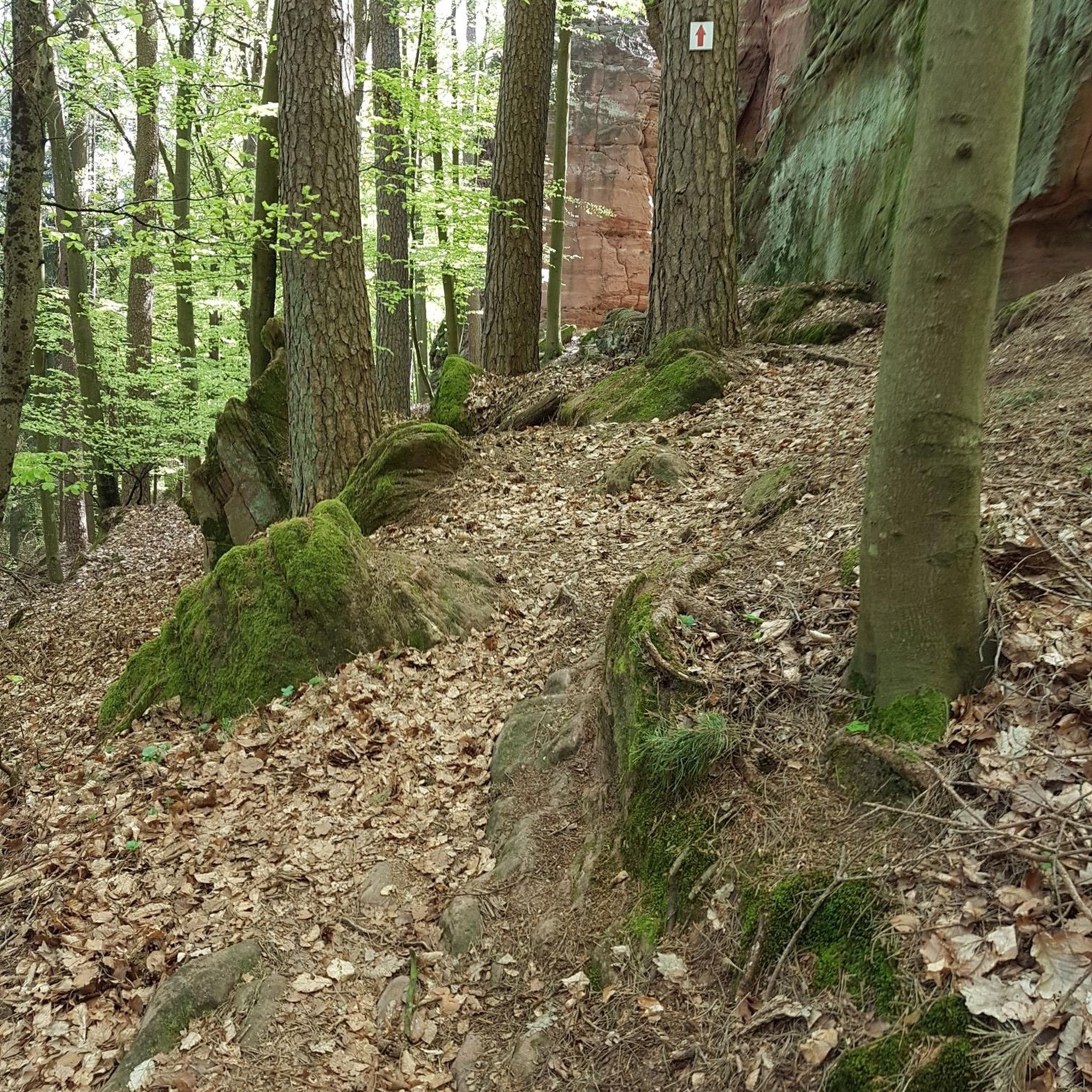
Mountain Hikes around Campolongo Sul Brenta
Other adventures around Campolongo Sul Brenta

Tips from the Community

Suggestive quarry visible on the mountain while cycling at its foot.
0
0

The image shows the Civic Tower located in Piazza San Marco in Valstagna. On the facade there is a bas-relief depicting the Lion of Saint Mark, a symbol of Venetian rule. The tower is part of a historic building complex near the Brenta river.
0
0
This is the Church of Saint Anthony Abbot located in Valstagna, a hamlet of the municipality of Valbrenta in the province of Vicenza. The construction of the current building began in 1757 and was completed in 1764, before being consecrated in 1861. The facade is characterized by a Venetian Renaissance style and rises above a staircase from the street level. The structure suffered significant damage during the First World War and was subsequently rebuilt in 1919.
0
0


Unfortunately it was closed
1
0

at the start of the vu path
0
0

Beautiful village in the center on the Brenta there are canoes with rapids
1
0

Very nice village, worth a stop if only for the view that surrounds it. The Brenta river crosses this place making it magical
1
0
Frequently Asked Questions
How many hiking trails are available in Campolongo Sul Brenta?
Campolongo Sul Brenta offers a diverse selection of over 10 hiking routes, catering to various skill levels. You'll find everything from easy educational paths to more challenging treks through the region's unique landscapes.
What types of landscapes and natural features can I expect to see while hiking in Campolongo Sul Brenta?
The region is rich in natural beauty, featuring striking limestone cliffs, the carved Brenta Valley, and the unique "Masiere" terraces historically used for cultivation. You can explore the Val Brutta canyon, walk along the River Brenta, and traverse extensive beech forests. For expansive views, Monte Grappa offers breathtaking panoramic vistas.
Are there any circular hiking routes in Campolongo Sul Brenta?
Yes, Campolongo Sul Brenta features several excellent loop hikes. A popular option is the Calieroni of Valstagna – Valstagna and the River Brenta loop from Campolongo sul Brenta, which takes you through the Brenta River valley. Another notable loop is the Hell Through the Rock loop from Campolongo sul Brenta.
What historical landmarks or points of interest can I discover on the trails?
The trails in Campolongo Sul Brenta are steeped in history. Many routes, such as the Historic mule track to Monte Campolongo (CAI 765), pass through WWI trenches. The Val Brutta canyon also features an educational trail showcasing historic chapels and ancient terraces. The "Masiere" terraces themselves are a historical testament to past agricultural practices.
Are there any easy hiking trails suitable for beginners or families?
Absolutely. For an easy and educational experience, consider the Sentiero Didattico Antonia Dal Sasso through Val Brutta canyon. This 3.3 km path is ideal for those seeking a gentle stroll through historic chapels and ancient terraces, perfect for families or beginners.
What do other hikers say about the trails in Campolongo Sul Brenta?
The hiking routes in Campolongo Sul Brenta are highly regarded by the komoot community, with an impressive average score of 4.4 stars from over 4,000 reviews. Hikers frequently praise the diverse landscapes, the historical elements, and the well-maintained paths that cater to various experience levels.
Are there any challenging hikes for experienced trekkers?
Yes, experienced trekkers will find demanding routes. The Historic mule track to Monte Campolongo (CAI 765) and Sentiero 769 to Monte Campolongo are both classified as difficult, offering significant elevation gain and expansive views, including those extending to the Adriatic.
Can I find any mountain passes or scenic climbs near Campolongo Sul Brenta?
Yes, the area around Campolongo Sul Brenta is known for its scenic mountain passes and climbs. Notable points of interest include the Foza–Valstagna Hairpin Road and the Col d'Astiago. For those interested in more challenging ascents, the Valstagna–Foza Climb and the Ascent to Monte Grappa from Romano d'Ezzellino are popular options.
What kind of forests can I expect to hike through in this region?
The region is rich in forests, with many trails traversing beautiful beech woodlands. These forests provide shade and a serene atmosphere, particularly along routes like the TRODOI TRAILS, which include paths from Oliero di Sotto to Campolongo.
Are there any unique geological features to explore?
Beyond the striking limestone cliffs and the carved Brenta Valley, the region is known for karst caves with very cold water found near the River Brenta. The broader Brenta area, including the Brenta Dolomites, is part of the Adamello Brenta Geopark, highlighting its significant geological heritage.
What is the best time of year to go hiking in Campolongo Sul Brenta?
While specific seasonal conditions can vary, the diverse landscapes of Campolongo Sul Brenta make it suitable for hiking across multiple seasons. Spring and autumn generally offer pleasant temperatures and vibrant scenery, while summer provides longer daylight hours. Always check local weather forecasts before heading out.
Are there any trails that follow the River Brenta?
Yes, the River Brenta is a prominent natural element, and several trails offer picturesque walks along its banks. The "Calieroni of Valstagna" loop, for instance, leads through the Brenta River valley. There's also a pleasant pedestrian path to Valstagna that runs alongside the river, forming part of a longer bicycle path.
Most popular routes around Campolongo Sul Brenta
Most popular attractions around Campolongo Sul Brenta

Get inspired with the komoot mobile app


Explore more
Browse the best Hikes in other regions.
