The best road cycling routes around Enego
4.5
(431)
11,812
riders
62
rides
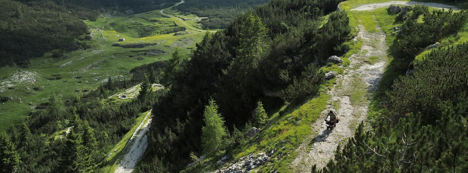
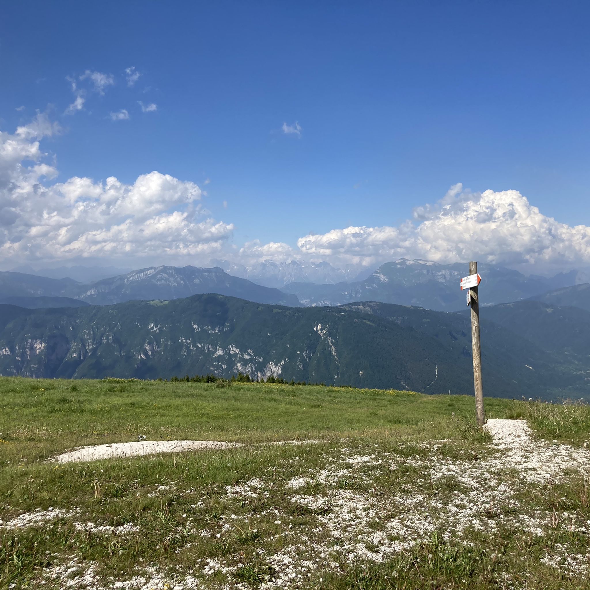
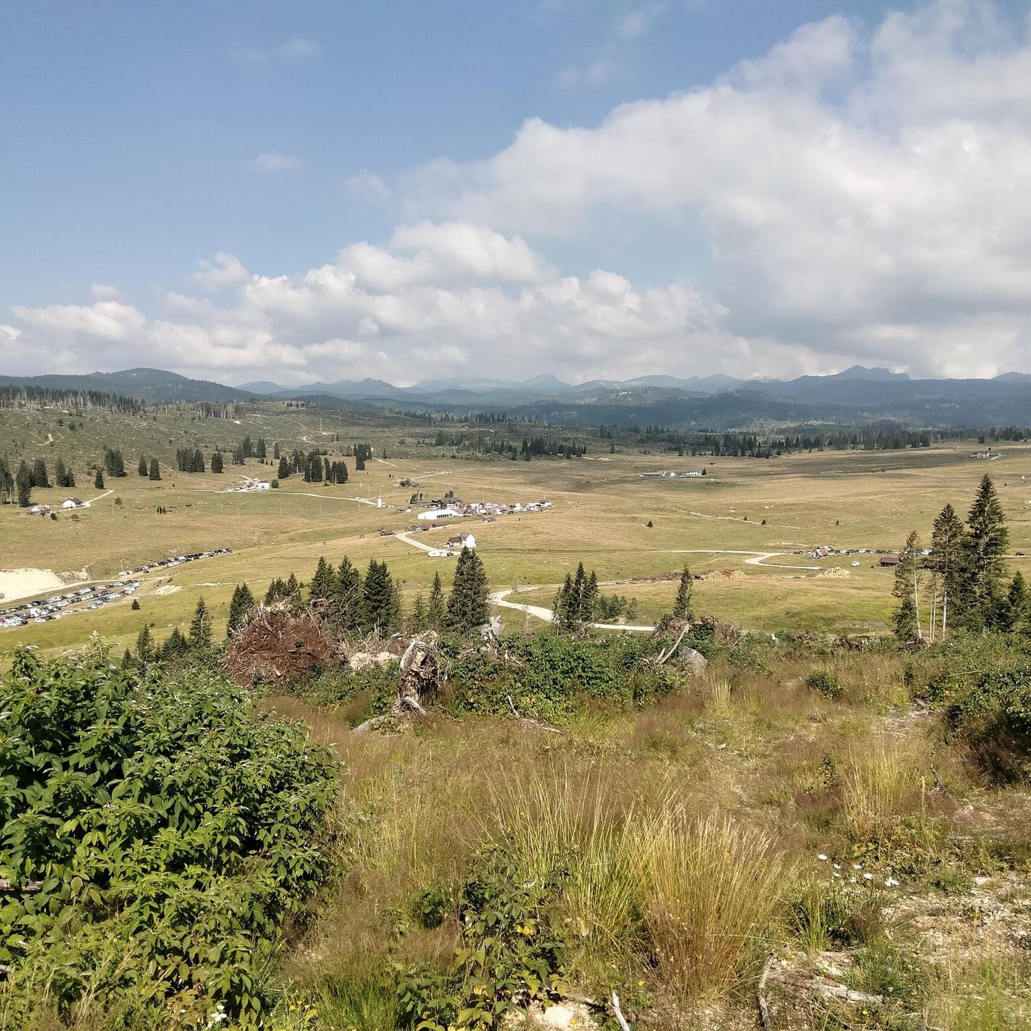
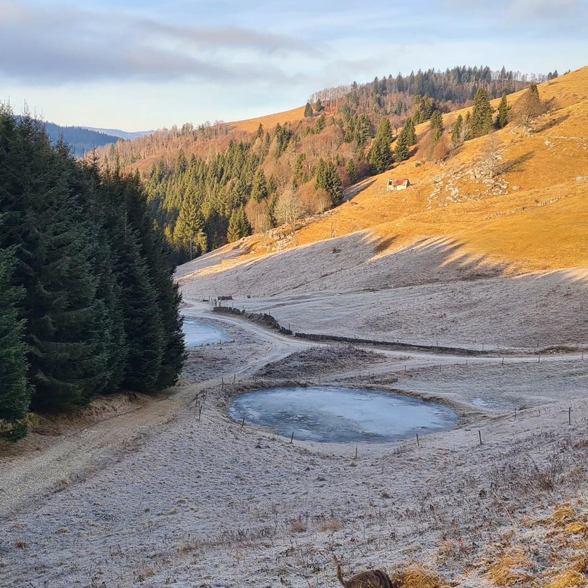
Road cycling routes around Enego are set within a mountain village in Italy's Altopiano di Asiago 7 Comuni. The region features a blend of mountainous terrain, expansive plains like the Piana di Marcesina at 1300 meters above sea level, and lush forests. Enego stretches from the edge of Valsugana up to Mount Ortigara, offering varied elevations and views across the Brenta valley.
Best road cycling routes around Enego
- The most popular road cycling route is Valsugana Cycle Path – Valsugana…
Last updated: September 30, 2026
4.7
(65)
1,579
riders
109km
04:49
1,010m
1,010m
Hard road ride. Very good fitness required. Some segments of this route may be unpaved and difficult to ride.
5.0
(5)
20
riders
25.3km
03:01
1,740m
190m
Hard road ride. Very good fitness required. Some segments of this route may be unpaved and difficult to ride.

4.5
(15)
403
riders
52.4km
02:24
570m
570m
Moderate road ride. Good fitness required. Mostly well-paved surfaces and easy to ride.
4.8
(17)
293
riders
72.4km
04:13
1,720m
1,720m
Hard road ride. Very good fitness required. Mostly well-paved surfaces and easy to ride.
4.4
(12)
229
riders
43.0km
02:27
960m
960m
Hard road ride. Very good fitness required. Some segments of this route may be unpaved and difficult to ride.
Get access to more routes and recommendations from other explorers.
Already have an account?
Our route recommendations are based on thousands of hikes, rides, and runs completed by other people on komoot.
Start today with a free account
Your next adventure awaits.


Other adventures around Enego

Tips from the Community

From Caldonazzo, a beautiful cycle path leads along the shore of the lake to Pergine. For swimming, it's better to head to the neighboring Lago di Levico.
0
0
It is also worth riding on service roads off the Valsugana cycle path, but partly this involves a few meters of altitude.
0
0

Quiet village, touristy in summer due to its beautiful lake,
0
0

Cima di Campo (1,425–1,512 m) in Arsiè is a well-known mountain and alpine pass in the Belluno Dolomites, famous for its cycling climb, the Forte Leone from World War I, and hiking routes. Length: Approximately 18.5 km starting from the center of Arsiè. Elevation gain and Gradient: 1,111 meters of elevation gain with an average gradient of 6% and double-digit peaks in the initial sections towards Mellame and Col Perer. Famous for being the first iconic climb of the Dolomiti Bellunesi cycling granfondo. Forte Leone: A large armored military fortress built between 1906 and 1912 to defend the border, currently undergoing renovation.
1
0
historic mountain road with eight hairpin bends, the Tagliata della Scala and the Tagliata delle Fontanelle. They are located between the Valsugana and the territory of Feltre, in Veneto. The fortifications: Between 1892 and 1895, the Tagliata della Scala in the lower part and the Tagliata delle Fontanelle in the upper part were built to defend the border. The walkway: The two parts are joined by a long covered gallery with loopholes. War: They did not play a major military role during World War I and were later abandoned.
0
0
The cycle path towards Cismon del Grappa, very cool and shaded.
0
0
Fortification built in a natural cave. In the Great War it was a blocking point defending Valsugana. There are references to it as a fortification around the year 1000.
0
0

Nice narrow cycle path, good asphalt. Normal pace is recommended, as the stream has to be crossed via small bridges and the curves behind the bridges are blind and narrow. Beautiful scenery to ride through!
0
0
Frequently Asked Questions
What is the general difficulty level of road cycling routes around Enego?
Enego offers a diverse range of road cycling routes. You'll find options for various skill levels, with approximately 8 easy routes, 31 moderate routes, and 34 difficult routes available. This variety ensures that both casual riders and experienced cyclists can find suitable challenges.
Are there any beginner-friendly road cycling routes in Enego?
Yes, Enego has several road cycling routes suitable for beginners. While many routes involve mountainous terrain, there are 8 routes classified as easy, providing a gentler introduction to cycling in the region. These routes often feature less elevation gain and shorter distances, allowing new cyclists to enjoy the scenic beauty without excessive challenge.
When is the best time of year for road cycling in Enego?
The best time for road cycling in Enego is generally during the warmer months, from late spring to early autumn. During summer, a dedicated bike bus service is available, making it easier to access various itineraries, especially around areas like Enego Marcesina. The region's natural beauty, including the Piana di Marcesina and mountain views, is particularly enjoyable during these seasons.
What kind of distances and elevations can I expect on road cycling routes in Enego?
Road cycling routes around Enego vary significantly in distance and elevation. For instance, a challenging route like Climb to Monte Grappa from Cismon del Grappa covers about 25 km with over 1700 meters of elevation gain. Longer, difficult loops such as Valsugana Cycle Path – Valsugana Cycle Route loop from San Marino can extend to nearly 110 km with over 1000 meters of climbing. Moderate routes, like Primolano Steps – Pedavena Brewery loop from Primolano, offer around 52 km with about 570 meters of ascent.
What scenic viewpoints or landmarks can I expect to see on road cycling routes around Enego?
Enego's road cycling routes offer breathtaking views and historical landmarks. You can expect panoramic vistas of the Brenta valley, Monte Grappa, and even the distant Dolomites. Notable natural features include the expansive Piana di Marcesina, known for its unique microclimate and protected peatlands. Historically, the 14th-century Scaliger Tower in Enego provides spectacular views, and routes may pass by military forts like Coldarco Fort and Lisser Fort, offering glimpses into the region's past.
Are there any circular road cycling routes available in Enego?
Yes, many road cycling routes around Enego are designed as loops, allowing you to start and finish in the same location. Examples include the extensive Valsugana Cycle Path – Valsugana Cycle Route loop from San Marino and the Primolano Steps – Pedavena Brewery loop from Primolano. These circular routes are convenient for planning your ride and returning to your starting point.
What do other road cyclists enjoy the most about road cycling in Enego?
The road cycling experience in Enego is highly rated by the komoot community, with an average score of 4.6 stars from over 290 reviews. Cyclists often praise the region's stunning natural beauty, including the blend of mountainous terrain, expansive plains, and lush forests. The diverse routes, offering views of the Brenta valley and distant Dolomites, are also frequently highlighted as a major draw.
Are there any specific attractions or points of interest along the cycling routes that are worth exploring?
Absolutely. Beyond the natural landscapes, you can find several points of interest. For example, some routes might lead you near the Sanctuary of the Madonna del Caravaggio at Buso or the fascinating Labirinto del Brustolà. The Oliero Caves and the Oliero River are also notable natural attractions that could be explored in conjunction with your ride. The Ciclopista del Brenta offers a dedicated cycle path section.
Is there public transport available to help access road cycling routes in Enego?
During the summer months, a 'bike bus' service is available in the Altopiano di Asiago area, which includes Enego. This service allows cyclists to easily transport their bikes and access various starting points, particularly for routes around Enego Marcesina, making it convenient to explore new itineraries without having to cycle the entire distance to the trailhead.
Are there any particularly challenging climbs for advanced road cyclists near Enego?
For advanced road cyclists seeking significant challenges, the region around Enego offers demanding climbs. A prime example is the Climb to Monte Grappa from Cismon del Grappa, which features substantial elevation gain as it ascends towards the iconic Monte Grappa. Other difficult routes, such as the Primolano Steps – Cima di Campo loop from Primolano, also provide considerable climbing over longer distances.
What are the unique natural features that make road cycling in Enego special?
Enego's road cycling experience is enhanced by its unique natural features. The region boasts the vast and enchanting Piana di Marcesina, a plain at 1300 meters above sea level with wide pastures and majestic forests, often called the 'Finland of Italy' due to its distinct microclimate. The area also encompasses mountainous terrain leading up to peaks like Monte Ortigara (2150m), Monte Fior, Monte Corno, and Monte Lisser, all contributing to the diverse and stunning landscapes.
Most popular attractions around Enego

Get inspired with the komoot mobile app


Explore more
Browse the best Road cycling routes in other regions.
