The best MTB trails in the Sapphire Mountains
4.8
(4)
280
riders
28
rides
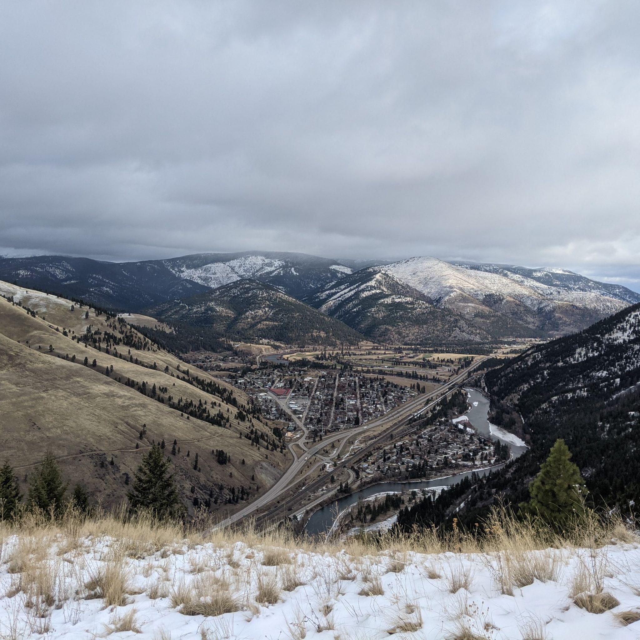
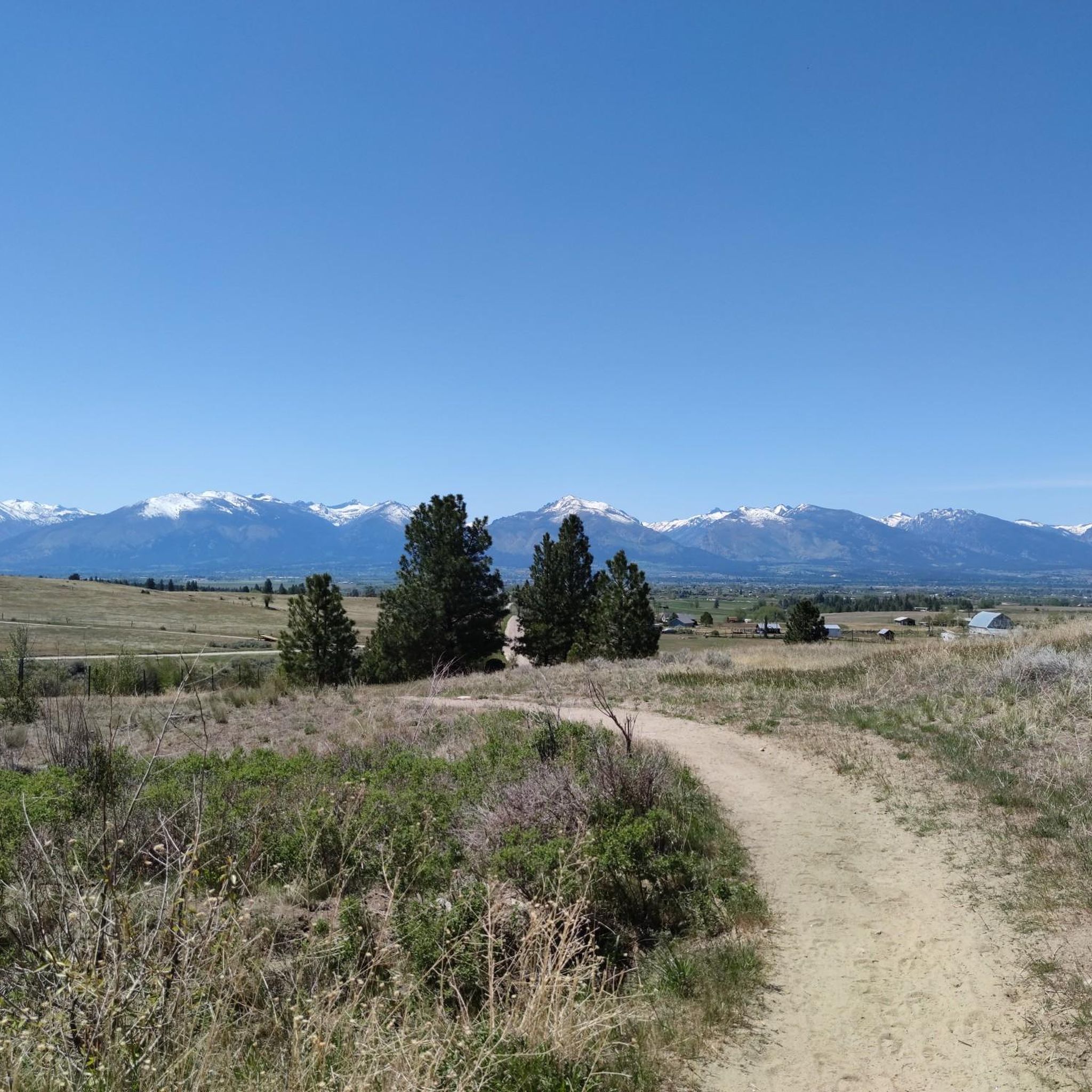
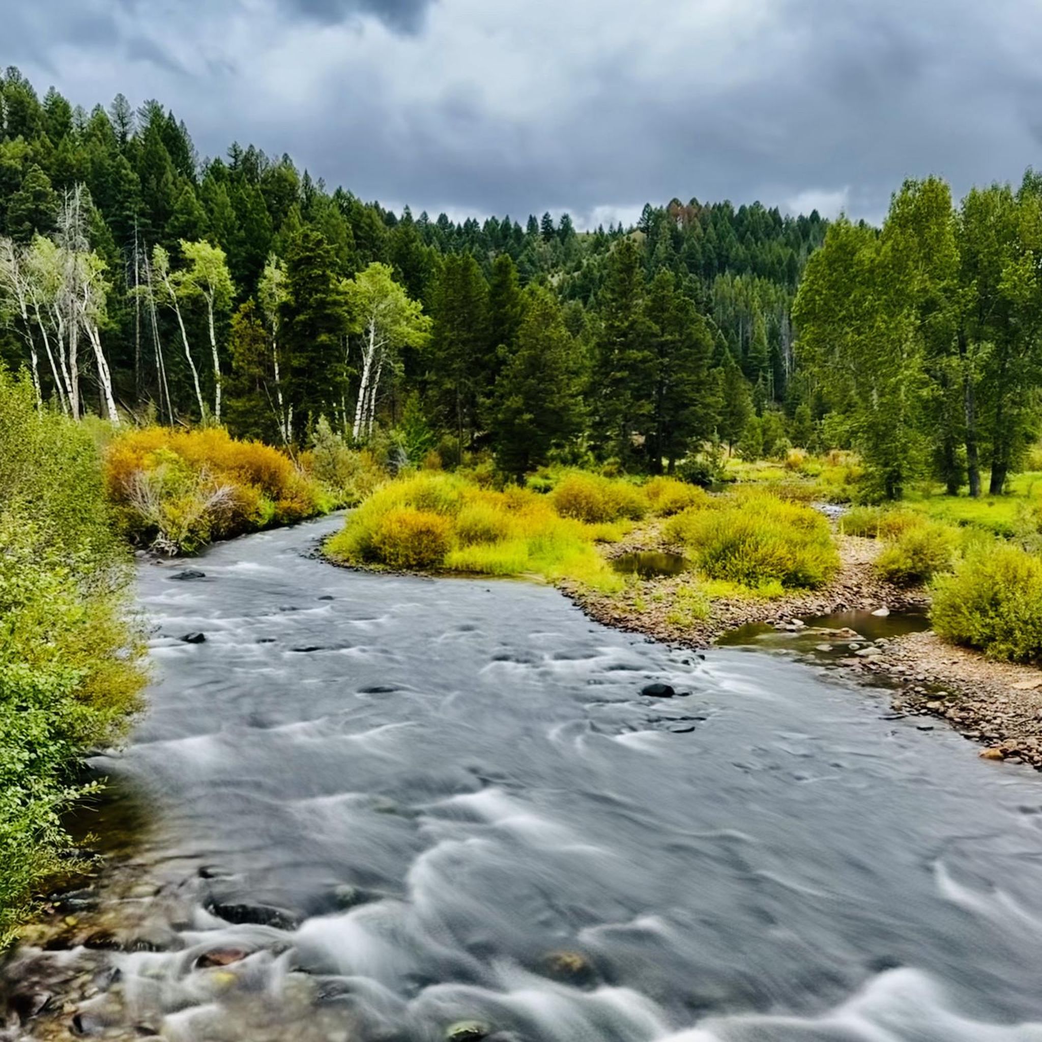
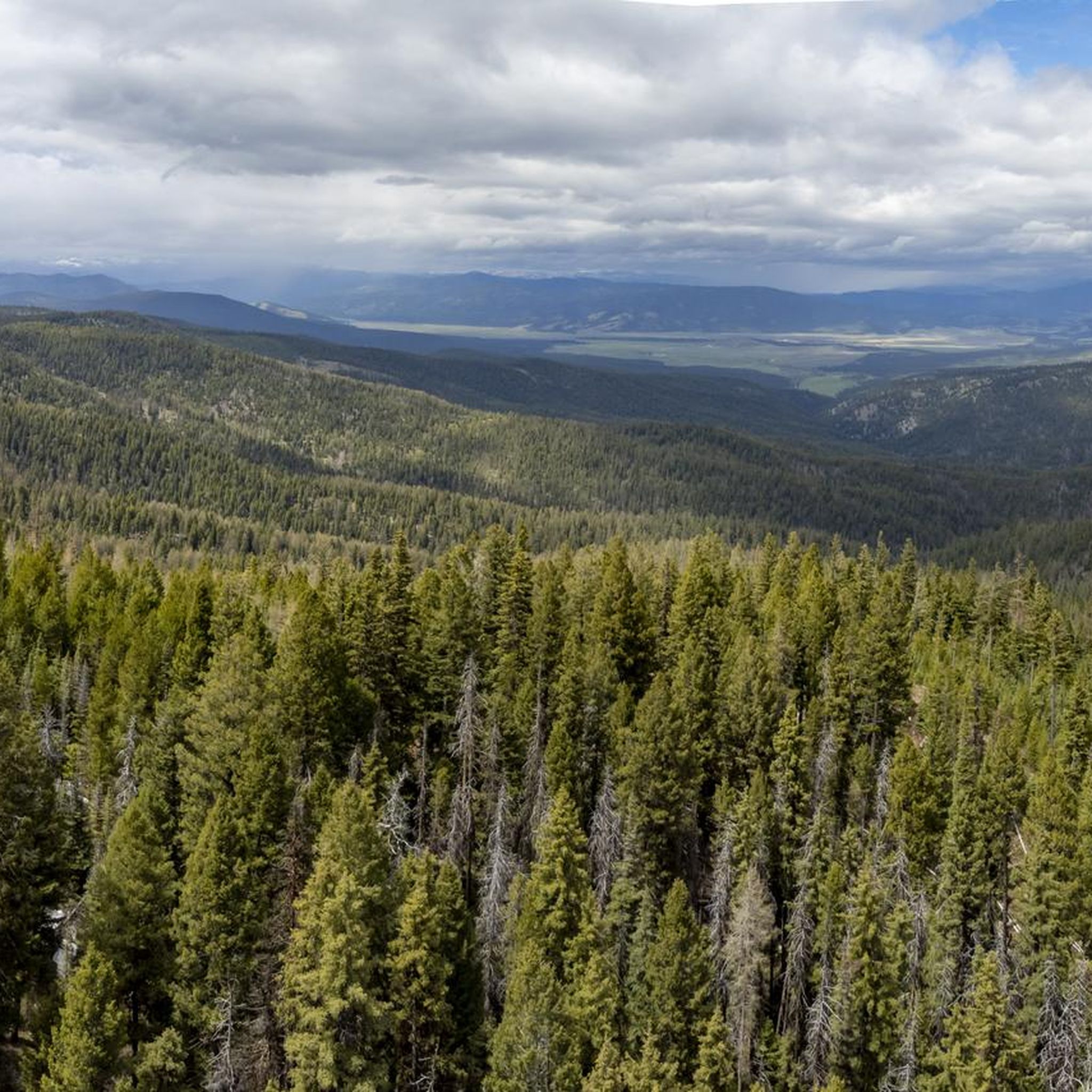
Mountain biking in the Sapphire Mountains offers a diverse landscape characterized by river valleys, forested slopes, and varied elevations. The region provides a mix of terrain, from paths alongside the Clark Fork River to routes ascending mountain areas. Riders can expect trails with significant elevation changes and opportunities to explore the natural environment. The network includes routes suitable for various skill levels, from moderate to difficult.
Best mountain bike trails in the Sapphire Mountains
- The most popular mountain bike trail…
Last updated: June 25, 2026
16
riders
13.8km
01:34
450m
450m
Moderate mountain bike ride. Good fitness required. Suitable for all skill levels.
15
riders
20.5km
02:11
590m
590m
Moderate mountain bike ride. Good fitness required. Suitable for all skill levels.

Sign up for free
5.0
(1)
13
riders
36.3km
02:58
480m
480m
Moderate mountain bike ride. Good fitness required. Suitable for all skill levels.
14
riders
47.1km
04:13
1,050m
1,050m
Hard mountain bike ride. Very good fitness required. Advanced riding skills necessary.
14
riders
43.6km
03:56
940m
940m
Hard mountain bike ride. Very good fitness required. Suitable for all skill levels.
12
riders
39.0km
03:19
770m
770m
Hard mountain bike ride. Good fitness required. Advanced riding skills necessary. Some portions of the route may require you to push your bike.
9
riders
34.1km
02:22
360m
360m
Moderate mountain bike ride. Good fitness required. Suitable for all skill levels.
8
riders
47.2km
04:15
1,060m
1,060m
Hard mountain bike ride. Very good fitness required. Advanced riding skills necessary.
8
riders
36.2km
02:56
610m
610m
Moderate mountain bike ride. Good fitness required. Advanced riding skills necessary.
6
riders
35.1km
02:57
640m
640m
Moderate mountain bike ride. Good fitness required. Suitable for all skill levels.
Get access to more routes and recommendations from other explorers.
Sign up for free
Already have an account?
Our route recommendations are based on thousands of hikes, rides, and runs completed by other people on komoot.
Start today with a free account
Your next adventure awaits.
Login or Signup

Tips from the Community

Stretching for more than 50 miles between Hamilton and Missoula, the paved Bitterroot Trail offers a flat, traffic-free corridor through the heart of the valley. Riders enjoy wide-open views of the Bitterroot Mountains to the west and the Sapphire Range to the east, with small towns, cafes, and services dotted along the way. As the route leads into Missoula, the trail provides a welcoming and scenic approach; heading south, it eases you gently back into rural landscapes.
0
0

The Beartracks Bridge is a four-lane bridge over the Clark Fork River in downtown Missoula. It was constructed in 1962 and recently renovated to improve pedestrian safety. The bridge now has dedicated bike lanes and widened sidewalks.
0
0

Jacob's Island is a dog park on the banks of Clark Fork River. The park is 6-acres and the river works as a beautiful natural barrier for the dogs. It also offers a series of paved and unpaved trails, benches, picnic tables and dog-waste bags.
0
0
Jacob's Island is a dog park on the banks of Clark Fork River. The park is 6 acres and the river works as a beautiful natural barrier for the dogs. It also offers a series of paved and unpaved trails, benches, picnic tables and dog-waste bags.
0
0

Nestled in the northern Rockies, the city is known as the "Garden City" for its lush surroundings as well as trout fishing. The city is home to the University of Montana, founded in 1893.
0
0

The Kim Williams Trail is a super popular trail in Missoula. It follows along the river the majority of the way, but it is often times tucked in the trees without a lot of views. The section of trail furthest west is a really smooth paved and dirt path. As you get further east, the trail narrows and becomes bumpier. Some choose to ride a bike with more suspension for this rougher section, but most touring bikes can handle the trail just fine from start to finish.
0
0
McCormic Park marks the western terminus of the Kim Williams Trail and the eastern terminus of the Milwaukee Trail. The park has some playing fields, open space, picnic areas, and is nestled up right next to the river.
0
0
The Mount Jumbo Wildlife Management Area sits northeast of Missoula and is filled with hiking, mountain biking, and running trails. There are also a load of double-track trails and fire roads that are perfect for bike touring. This is a really popular spot for outdoor enthusiasts, and you'll likely be sharing the trails with others.
0
0
Frequently Asked Questions
How many mountain bike trails are available in the Sapphire Mountains?
The Sapphire Mountains offer a network of over 30 mountain bike trails. These routes cater to various skill levels, from easy riverside paths to challenging mountain ascents.
What are the difficulty levels of mountain bike trails in the Sapphire Mountains?
The trails in the Sapphire Mountains range from easy to difficult. You'll find 7 easy routes, 19 moderate routes, and 6 difficult routes, ensuring options for all experience levels.
Are there any beginner-friendly mountain bike trails in the Sapphire Mountains?
Yes, there are several beginner-friendly options. While specific easy routes aren't detailed here, the region offers 7 easy trails suitable for those new to mountain biking or looking for a more relaxed ride.
What about challenging mountain bike routes for advanced riders?
For experienced riders seeking a challenge, the Sapphire Mountains feature 6 difficult mountain bike routes. One such demanding route is the Mitten Mountain – Clark Fork River loop from Orchard Homes, which covers 47.5 km with over 1000 meters of elevation gain.
Are there mountain bike trails that form a loop in the Sapphire Mountains?
Many mountain bike trails in the Sapphire Mountains are designed as loops. For example, the Mountainbike loop from Blue Mountain offers a compact 13.8 km loop experience, and the Mount Sentinel loop from Hellgate High School is a moderate 20.4 km option.
What is the best time of year for mountain biking in the Sapphire Mountains?
The best time for mountain biking in the Sapphire Mountains is typically from late spring through early autumn (May to October), when trails are clear of snow and weather conditions are generally favorable. Always check local weather and trail conditions before heading out.
What kind of terrain can I expect on mountain bike trails in the Sapphire Mountains?
You can expect a diverse range of terrain, including paths alongside the Clark Fork River, forested slopes, and routes ascending mountain areas. The landscape is characterized by river valleys and varied elevations, offering a mix of smooth sections and more technical climbs and descents.
What can I see along the mountain bike trails in the Sapphire Mountains?
The Sapphire Mountains offer several points of interest along their trails. You might encounter natural features like the Deer Creek Sneak Trail or scenic viewpoints such as the Barmeyer Loop and Scenic Overlook. The prominent Mount Sentinel is also a notable landmark in the area.
Are there any family-friendly mountain biking options in the Sapphire Mountains?
While specific family-friendly routes are not highlighted, the presence of 7 easy trails suggests there are options suitable for families or those looking for less strenuous rides. These often follow gentler gradients and less technical terrain.
What do other mountain bikers say about the trails in the Sapphire Mountains?
The mountain bike trails in the Sapphire Mountains are highly rated by the komoot community, with an average score of 5.0 stars from 3 reviews. Riders often praise the varied terrain and the opportunities to explore the natural environment.
Are there any hidden gem mountain bike trails in the Sapphire Mountains?
For those looking to explore beyond the most popular routes, consider the Canyon River Beach – Sha-Ron Beach loop from Hellgate High School. This moderate 30.3 km route offers a scenic ride with river views, providing a rewarding experience away from the busiest paths.
Is parking available near the mountain bike trails in the Sapphire Mountains?
Many trailheads in the Sapphire Mountains, especially those starting from urban areas like Missoula or near schools, typically offer parking facilities. It's advisable to check specific route details on komoot for precise parking information for your chosen trail.
Can I find cafes or places to eat near the trails?
Given the proximity of many trails to Missoula and other communities, you'll find various cafes and eateries within a short distance of many trailheads. Routes like the Downtown Missoula – Clark Fork River loop from Hellgate High School pass close to urban amenities.
What wildlife might I encounter while mountain biking in the Sapphire Mountains?
The Sapphire Mountains are home to diverse wildlife. While mountain biking, you might spot deer, elk, various bird species, and smaller mammals. Always maintain a respectful distance and be aware of your surroundings, especially in more remote areas.
Most popular routes in the Sapphire Mountains
Most popular attractions in the Sapphire Mountains

Get inspired with the komoot mobile app


Explore more
Browse the best MTB trails in other regions.
