The best walks and hikes in the Sapphire Mountains
5.0
(16)
812
hikers
19
hikes
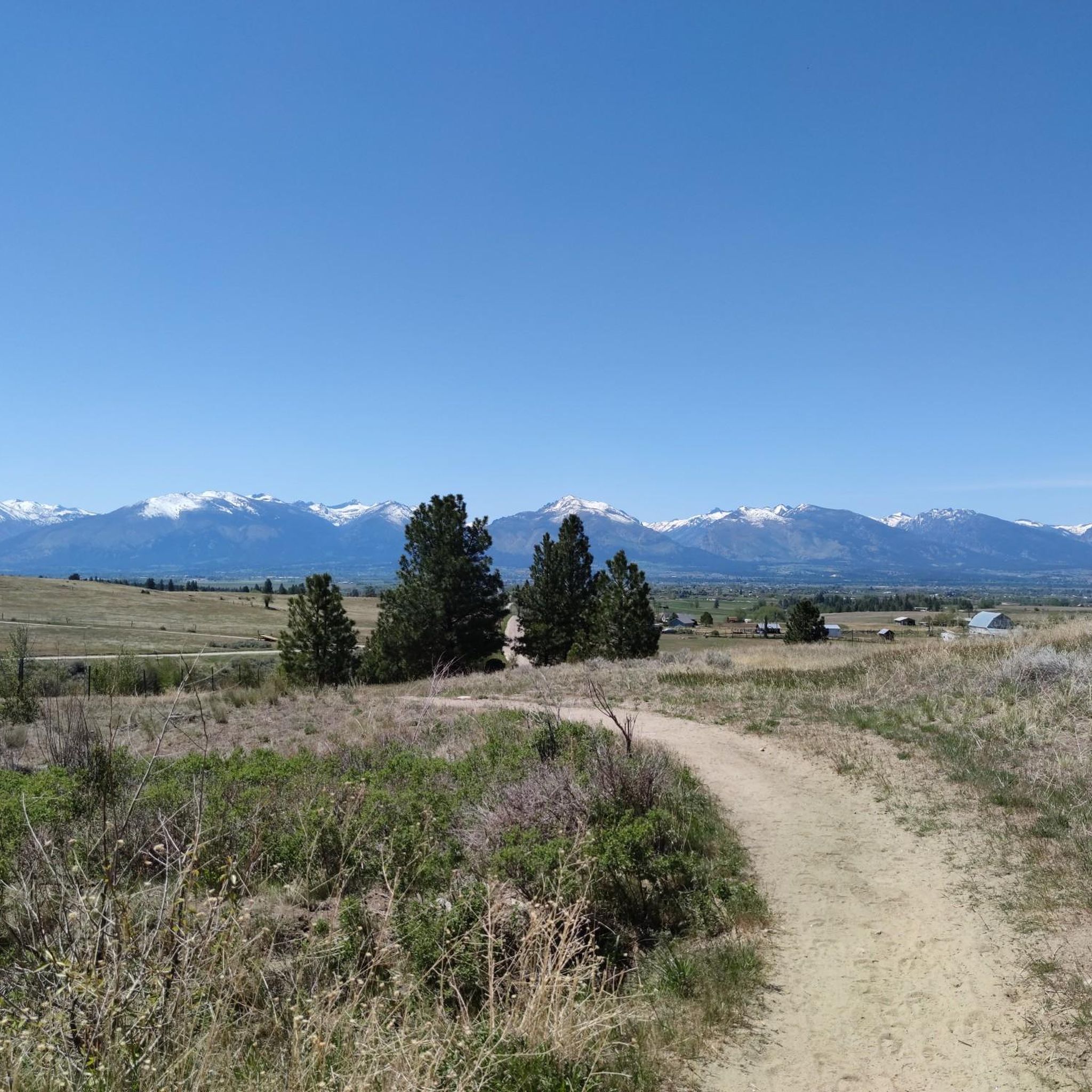
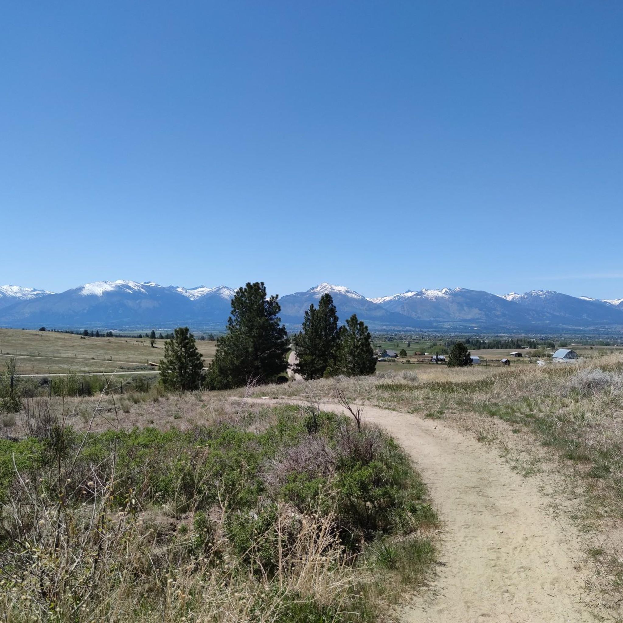
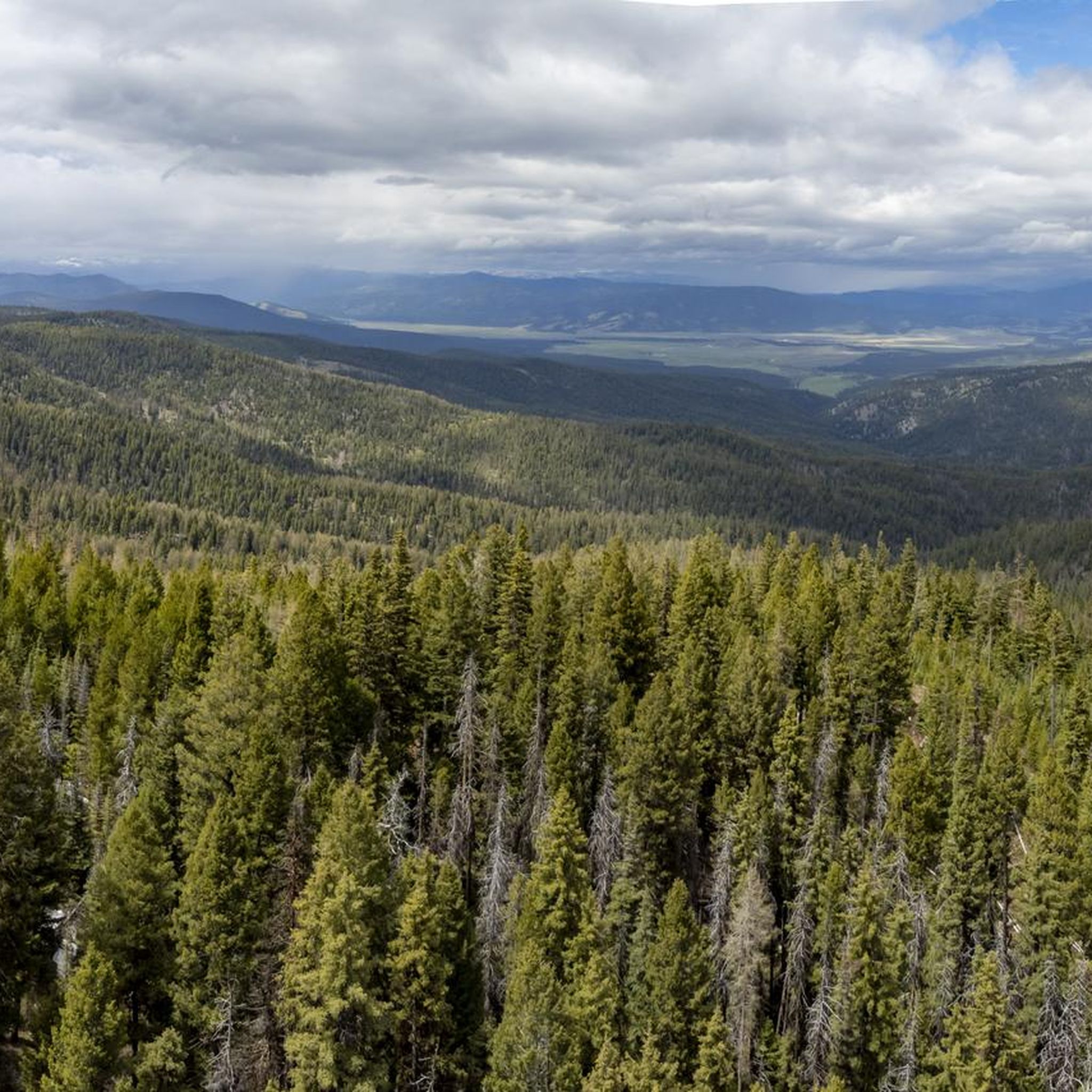
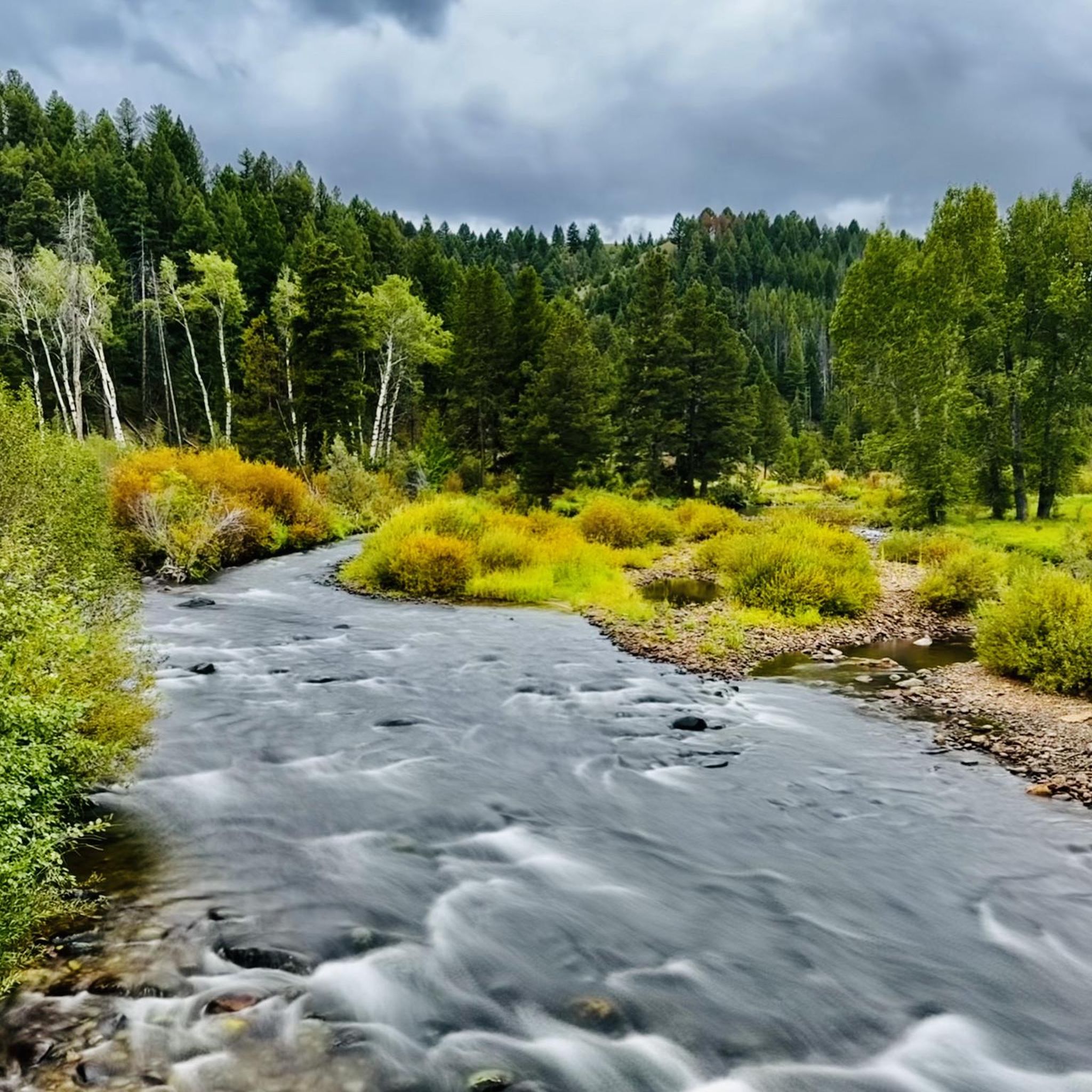
Hiking in the Sapphire Mountains offers routes through a landscape of rolling foothills and forested ridges in southwestern Montana. Located on the eastern side of the Bitterroot Valley, the range is characterized by dense forests of pine and fir, expansive meadows, and a network of trails accessible from areas like Missoula. The terrain is generally more gentle than the neighboring Bitterroot Mountains, providing a variety of options for day hikes.
Best hiking trails in the Sapphire Mountains
- The most popular hiking route is Mount Sentinel via Crazy Canyon, a 1.7 miles (2.8 km) trail that takes 1 hour 5 minutes to complete. This short but steep hike ascends Mount Sentinel and provides views over the city of Missoula.
- Another top favourite among local hikers is Mount Sentinel and Pattee Canyon Loop, a moderate 3.3 miles (5.3 km) path. The route involves a significant climb and offers a longer exploration of the mountain's trail system.
- Local hikers also love the Mount Dean Stone Preserve Trail, a 11.3 miles (18.1 km) trail leading through forested terrain, often completed in about 5 hours 50 minutes.
- Hiking in the Sapphire Mountains is defined by forested ridges, grassy meadows, and rolling foothills. The trail network provides routes for different ability levels, from short, steep ascents to longer, more remote hikes.
- The routes in Sapphire Mountains are highly rated by the komoot community with an average score of 5.0 stars from more than 10 reviews. More than 600 hikers have used komoot to explore Sapphire Mountains's varied terrain.
Last updated: October 10, 2026
7
hikers
3.61km
01:09
180m
90m
The Sam Braxton and 9.2 Trail offers a delightful escape into the Lolo National Forest near Missoula, winding through serene groves of mature western larch and ponderosa pine trees. You'll follow a singletrack path that occasionally reveals remnants of old Missoula homesteads, adding a touch of history to your journey, and even passes above the area's ski trails. It's a pleasant, easy hike that provides a refreshing forest experience.
This 2.2-mile (3.6 km) route, with its 589 feet (180 metres) of elevation gain, can be completed in about 1 hour and 8 minutes, making it ideal for a quick outing. While generally well-marked, keep an eye on your navigation as old horse-logging skid trails can sometimes crisscross the main path. The trail is multi-use and welcomes dogs, especially in winter when it's the only ski trail in the Pattee Canyon complex where they are permitted.
Named after Sam Braxton, a notable Missoula outdoorsman, this trail is a popular spot for various activities beyond hiking, including mountain biking, trail running, and snowshoeing. Its accessibility and easy difficulty make it a great choice for families or anyone seeking a straightforward, enjoyable walk in nature, offering a peaceful alternative to more strenuous options in the region.
5.0
(1)
2
hikers
13.0km
04:03
540m
380m
Embark on the Mount Sentinel and Pattee Canyon Loop, a moderate hike spanning 8.1 miles (13.0 km) with an elevation gain of 1765 feet (538 metres). You can expect to complete this route in about 4 hours and 3 minutes. The trail offers a varied experience, starting with a climb up Mount Sentinel that rewards you with expansive views before descending into the serene, forested Pattee Canyon.
When planning your visit, be aware that the

1
hikers
5.69km
01:46
340m
0m
If you're looking for a solid climb with incredible payoffs, the Mount Sentinel via Crazy Canyon trail delivers. This route winds through thinned Ponderosa Pine forests, gradually revealing expansive views of the Missoula Valley and the winding Clark Fork River. Keep an eye out for the notable "Grandfather Tree" as you ascend, and in May and June, the trail bursts with wildflowers. The final push to the 5,158-foot summit of Mount Sentinel is steep, but rewards you with vistas stretching to the Bitterroot and Sapphire mountain ranges.
Planning your visit is easy, as the Crazy Canyon trailhead offers good parking and convenient bathrooms. This moderate 3.5-mile (5.7 km) hike, with its 1114 feet (339 metres) of elevation gain, typically takes about 1 hour and 45 minutes. It's a dog-friendly trail, but remember to keep your furry friends on a leash to protect the local wildlife. Consider an early start to enjoy the cooler temperatures and avoid peak traffic.
This trail serves as an excellent alternative to the more heavily trafficked "M" trail for reaching the summit of Mount Sentinel, offering a similar challenge and equally stunning views with potentially fewer crowds. It's a multi-use path, popular for hiking, trail running, and even snowshoeing in winter. The trail also connects to other routes, like the Hellgate Canyon Trail, providing options for longer or varied adventures if you want to explore more of the Missoula area.
1
hikers
4.16km
01:17
250m
0m
Embark on the Inez Creek Trail to Legacy Peak for an easy hike covering 2.6 miles (4.2 km). You will gain 818 feet (249 metres) in elevation over approximately 1 hour and 16 minutes. As you ascend, you'll find yourself surrounded by numerous pine trees, with glimpses of the Miller Creek valley opening up. The primary reward is the viewpoint at Legacy Point, offering expansive vistas of the surrounding landscape. The trail provides a generally moderate experience with rewarding views throughout.
When planning your visit, know that the Inez Creek Trail is dog-friendly, making it a great option if you want to bring your canine companion. Parking is usually available at the trailhead, providing easy access to this popular area. Be aware that seasonal conditions can affect the route; you might encounter clear ground and ice in winter, or wet spots during wetter periods. Checking recent trail reports before you go can help you prepare for current conditions.
This route is nestled within the Mount Dean Stone Community Forest, offering a peaceful atmosphere that often allows for a sense of solitude, even though it is a multi-use trail. Depending on the time of year, you might spot vibrant wildflowers or stunning fall colors. Wildlife such as various birds and small mammals are common here, so carrying bear spray is a wise precaution for your safety.
2.69km
00:52
180m
0m
The Mo Z Trail offers a delightful and accessible hiking experience just outside Missoula, Montana. This easy 1.7-mile (2.7 km) route climbs 606 feet (185 metres) over approximately 52 minutes, leading you through the Lolo National Forest on a singletrack dirt path. As you ascend, you'll be treated to increasingly impressive views of Missoula, often framed by a vibrant display of wildflowers, making it a perfect quick escape into nature.
Located in Pattee Canyon, the Mo Z Trail is a convenient option for locals and visitors alike, providing an easy way to immerse yourself in the local wilderness. It's a multi-use trail, so expect to share the path with mountain bikers and trail runners. No special permits are needed, and its accessibility makes it a great choice for a spontaneous outdoor excursion.
Originally constructed in 2007 and named in memory of avid mountain biker Marilyn "Mo" Zwang Ryan, the trail was designed to offer an alternative route for bikers but has become a popular Mo Z Trail hiking destination. It serves as a vital link within the larger Pattee Canyon network, connecting to upper trails and Mount Sentinel, and is celebrated for its rewarding city views.
2.21km
00:38
40m
70m
Step back in time on the Garnet Ghost Town Trail, an easy 1.4-mile (2.2 km) hike that takes you through Montana's best-preserved ghost town. You will gain a gentle 117 feet (36 metres) in elevation, making this route accessible for most, and can expect to complete it in about 37 minutes. As you walk, you will explore timbered drainages and discover over 20 historic buildings, including a saloon, schoolhouse, and hotel, all set against the backdrop of the picturesque Garnet Mountains and the Blackfoot River Valley. This trail offers a unique glimpse into the past, combining natural beauty with fascinating history.
To begin your adventure, parking is readily available directly at the Garnet Ghost Town site. The Bureau of Land Management and the Garnet Preservation Association actively maintain the area, and you can pick up self-guided interpretive brochures at the visitor's center to enrich your understanding of the town's history. While beautiful in warmer months, consider a winter visit for a truly unique experience; the snow-covered landscape transforms the ghost town, and you can enjoy cross-country skiing or snowshoeing on the trails.
The Garnet Ghost Town Trail is notable for its direct connection to Montana's rich gold mining history, transporting you to the late 1800s. This well-preserved site stands as a testament to a bygone era, offering a tangible link to the lives of miners and settlers. It is a significant historical landmark in the region, providing a compelling narrative of the state's development and the challenges faced by those who sought their fortunes in the rugged landscape. The efforts to maintain these structures ensure that future generations can continue to explore and learn from this unique piece of history.
5.0
(1)
9
hikers
18.1km
05:51
810m
810m
Hike the Mount Dean Stone Preserve Trail, a difficult 11.3-mile route with 2660 feet of elevation gain, offering views of Missoula Valley.
3
hikers
15.3km
04:32
470m
470m
The House of Sky Trail near Missoula offers a delightful hiking experience, guiding you through fragrant forests of Douglas Fir and Ponderosa Pine before emerging into open subalpine meadows. You'll traverse a mix of machine-built and hand-built singletrack, enjoying a rugged feel while soaking in incredible panoramic views of the Missoula Valley and the Bitterroot Range. Keep an eye out for the designated View of Mount Dean Stone highlight, a true reward for your efforts.
Planning your trip means noting the critical seasonal closure: the trail is off-limits from December 1st to May 15th to protect local wildlife. Outside of these dates, it's a popular spot, especially in summer when the hillsides burst with wildflowers. While the trail is designed with a moderate average gradient of 8%, making it more accessible than some steeper local options, it's still a good idea to start early and carry plenty of water.
This 9.5-mile (15.3 km) moderate hike, with 1547 feet (472 metres) of elevation gain and an estimated duration of 4 hours and 32 minutes, is a testament to community effort. Opened in 2022, it's a key link in the Mount Dean Stone trail network, offering a genuine backcountry feel just minutes from downtown Missoula. It's a fantastic option for those seeking a substantial outing with big views and a sense of wildness close to urban amenities.
1
hikers
14.2km
04:32
600m
600m
The Pengelly Ridge and Crooked Trail Loop near Missoula, Montana, offers a dynamic hiking experience, blending a challenging ascent with rewarding panoramic views. You'll traverse varied terrain, from singletrack dirt paths to exposed ridgelines, with the highlight being the expansive vistas of the Missoula Valley, Pattee Canyon, and the distant Bitterroot Mountains from the open ridge. The route provides a great sense of accomplishment as you climb towards Mount Sentinel, making it ideal for those seeking a robust outdoor adventure.
When planning your trip, be mindful of the exposed nature of the Pengelly Ridge Trail; it offers little shade, so carry ample water during warmer months and layer up for potential strong Hellgate winds in cooler seasons. While the trail is generally accessible year-round, higher elevations can hold frozen snow and ice outside of peak hiking season. Dogs are welcome on the Pengelly Trail, but be prepared for leash requirements near the trailhead and private property.
This loop combines two distinct trails, with the Pengelly Ridge section known for its steep, consistent climb and the Crooked Trail offering a more moderate experience. The Pengelly Ridge Trail is a local favorite, climbable year-round, and features the commemorative Pengelly stone at its summit, marking a spot for incredible views. This 8.8-mile (14.2 km) moderate hike with 1955 feet (596 metres) of elevation gain typically takes around 4 hours and 32 minutes, making it a substantial outing for active hikers.
31
hikers
4.99km
01:41
250m
250m
Easy hike. Great for any fitness level. Easily-accessible paths. Suitable for all skill levels.
Get access to more routes and recommendations from other explorers.
Already have an account?
Our route recommendations are based on thousands of hikes, rides, and runs completed by other people on komoot.
Start today with a free account
Your next adventure awaits.

Tips from the Community

This trail is the access route to Mount Dean Stone Preserve, the new most recent recreation area of Missoula.
0
0
Mount Dean Stone is one of Missoula's nature highlight. Recently, the Mount Dean Stone Preserve opened around 6 miles of new motorised trails for hikers, horse-riders, and bikers.
0
0

From the top of Mount Sentinel there is a beautiful view of Missoula. Great spot to enjoy the sunset.
0
0
Frequently Asked Questions
Are the Sapphire Mountains good for beginner hikers?
Yes, the Sapphire Mountains are very suitable for beginners. The terrain is generally more rolling and less rugged than the neighboring Bitterroot Mountains. There are 20 easy-rated trails in the area, offering plenty of options for those new to hiking. A great choice is the The M Trail on Mount Sentinel loop from University District, which provides rewarding views without being overly strenuous.
What is the best time of year to hike in the Sapphire Mountains?
The prime hiking season is from late spring through early fall, typically June to October. During summer, you'll experience pleasant weather and see the region's famous wildflowers blooming in the grassy meadows. Autumn offers cooler temperatures and beautiful fall colors. Always check local weather conditions before you go, as mountain weather can change quickly.
Are there any family-friendly hikes in the area?
Absolutely. The range's gentler slopes are ideal for family outings. For a straightforward and scenic walk that's popular with families, consider the Barmeyer Scenic Overlook loop from University District. It's a relatively short and easy route that still provides lovely views of the surrounding landscape.
Can I bring my dog on the trails?
Most trails in the Sapphire Mountains and the surrounding National Forests are dog-friendly, but they must be under your control at all times. Some areas, like the Welcome Creek Wilderness, may have specific regulations. It's always best to keep your dog leashed, especially as the area is home to wildlife like deer, elk, and occasionally bears. Be sure to pack enough water for your furry companion.
Are there any good hikes for seeing waterfalls?
The most famous waterfall in the region is Skalkaho Falls, a stunning 150-foot cascade that is easily visible from the Skalkaho Highway (Highway 38). While there isn't a dedicated hiking trail to the base, the scenic drive itself is a major attraction and there are numerous other trails accessible from the highway that explore the surrounding forests and creeks.
What kind of wildlife might I see while hiking?
The Sapphire Mountains support a rich diversity of wildlife. It's common to spot elk, mule deer, and white-tailed deer. In more remote areas or at dawn and dusk, you might also see moose, bighorn sheep, mountain goats, and black bears. The Skalkaho Game Preserve is a particularly good area for wildlife observation.
Are there any challenging hikes for experienced trekkers?
Yes, there are several difficult routes for those seeking a challenge. For a long day on the trail with significant elevation gain, consider the Blue Mountain Trail — Lolo National Forest. This demanding 18.8-mile (30.3 km) hike rewards determined hikers with expansive views from the summit.
How many hiking trails are there in the Sapphire Mountains?
There are over 50 designated hiking routes available on komoot for the Sapphire Mountains. These trails range from short, easy walks to strenuous, full-day treks, covering the diverse landscape of rolling foothills, dense forests, and high ridges.
What do other hikers think of the trails in the Sapphire Mountains?
The region is highly rated by the komoot community, with an average score of 5.0 stars. Hikers often praise the well-maintained trails, the beautiful views of the Bitterroot Valley, and the variety of routes that cater to different fitness levels.
Are there any good loop hikes available?
Yes, there are several excellent circular routes. A great moderate option is the Crooked Creek and Pengelly Ridge Trails loop. This 8.8-mile (14.2 km) trail offers a varied experience through forests and along ridges without needing to backtrack.
Where are some popular trailheads to start a hike?
Many hikes start near Missoula and Stevensville. Some of the most highly-regarded starting points for exploring the region include:
- Kootenai Creek Trailhead: A popular spot in Stevensville known for its lovely trail following a creek.
- Blodgett Overlook Trailhead: Located near Hamilton, this trailhead leads to a relatively easy hike with fantastic views.
- Lava Lake Trailhead: A favorite for its scenic forest trail that leads up to a beautiful mountain lake.
Are there any long-distance or backpacking options?
Yes, the Sapphire Mountains offer great opportunities for backpacking. For a challenging multi-day trip, you could tackle a route like the Blue Mountain via Deadmans Ridge. Additionally, the Sapphire Wilderness Study Area and Welcome Creek Wilderness provide extensive trail networks for those seeking a more primitive and remote backpacking experience.
Most popular routes in the Sapphire Mountains
Most popular attractions in the Sapphire Mountains

Get inspired with the komoot mobile app


Explore more
Browse the best Hikes in other regions.
