The best road cycling routes around Sankt Veit im Mühlkreis
4.7
(276)
8,076
riders
217
rides
Road cycling routes around Sankt Veit im Mühlkreis traverse a landscape characterized by rolling hills and forested areas, typical of the Mühlviertel region. The terrain often features moderate ascents and descents, providing varied challenges for road cyclists. Routes frequently pass through agricultural lands and small villages, offering views of the Upper Austrian countryside.
Best road cycling routes around Sankt Veit im Mühlkreis
- The most popular road cycling route is Niederwaldkirchen – St. Peter am Wimberg Church loop from St. Veit…
Last updated: July 8, 2026
35
riders
Moderate road ride. Good fitness required. Mostly well-paved surfaces and easy to ride.
5.0
(1)
19
riders
26.2km
01:26
470m
470m
Moderate road ride. Good fitness required. Mostly well-paved surfaces and easy to ride.

Sign up for free
5.0
(1)
21
riders
41.7km
02:43
680m
680m
Moderate road ride. Good fitness required. Mostly well-paved surfaces and easy to ride.
12
riders
Moderate road ride. Good fitness required. Mostly well-paved surfaces and easy to ride.
12
riders
Moderate road ride. Good fitness required. Mostly well-paved surfaces and easy to ride.
Get access to more routes and recommendations from other explorers.
Sign up for free
Already have an account?
Our route recommendations are based on thousands of hikes, rides, and runs completed by other people on komoot.
Start today with a free account
Your next adventure awaits.
Login or Signup
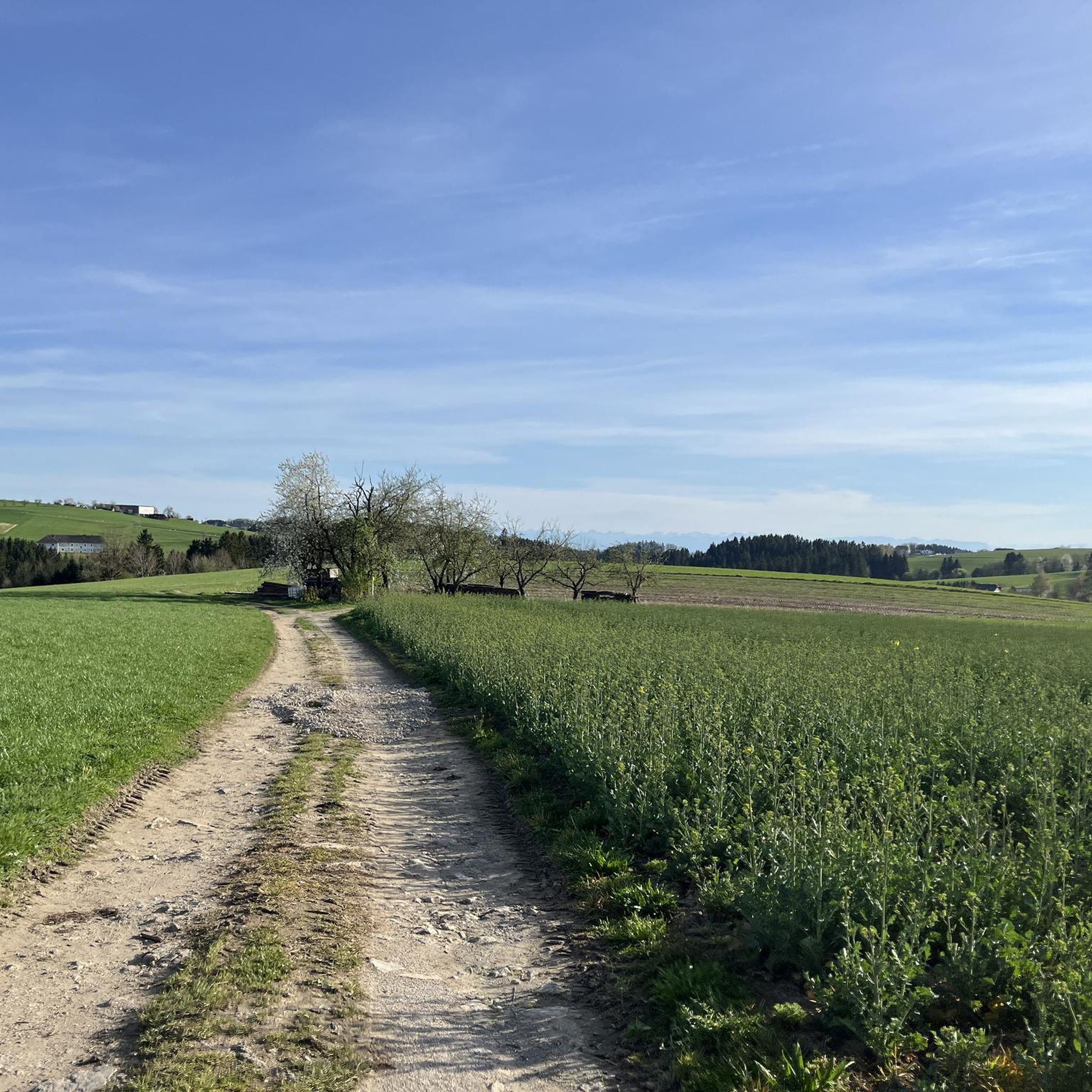
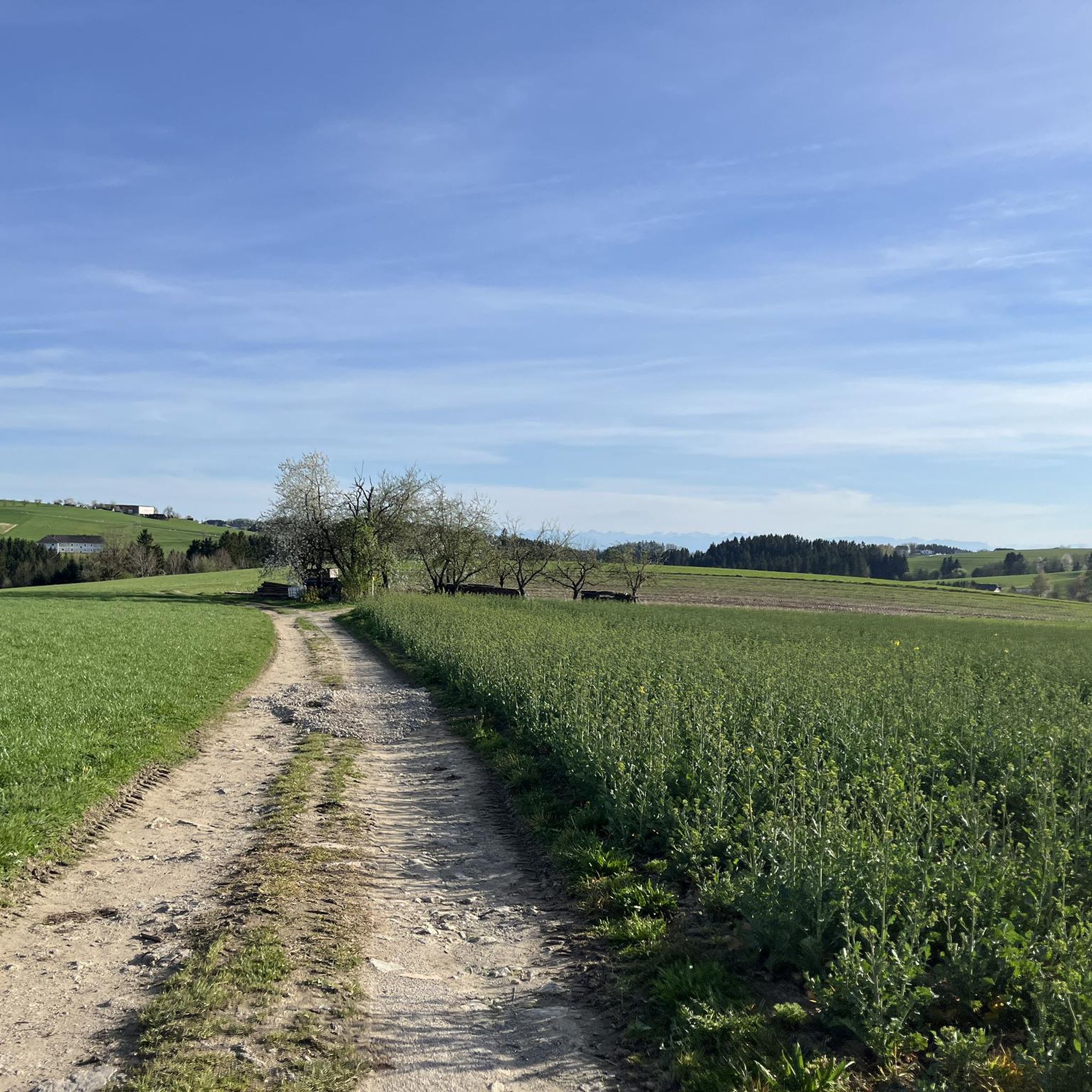
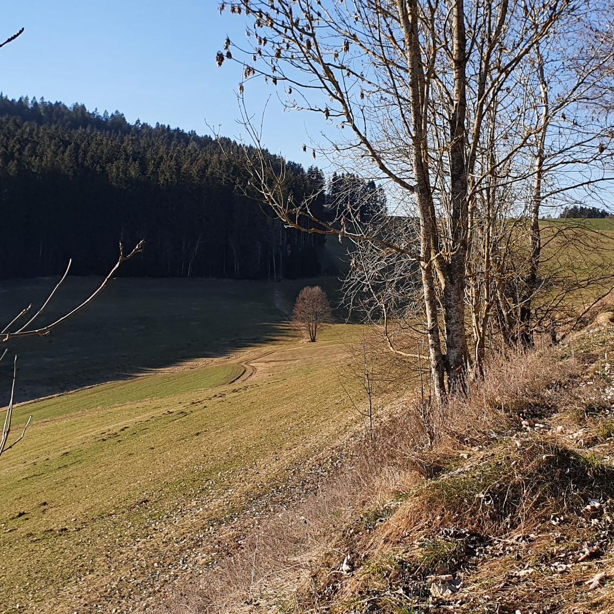
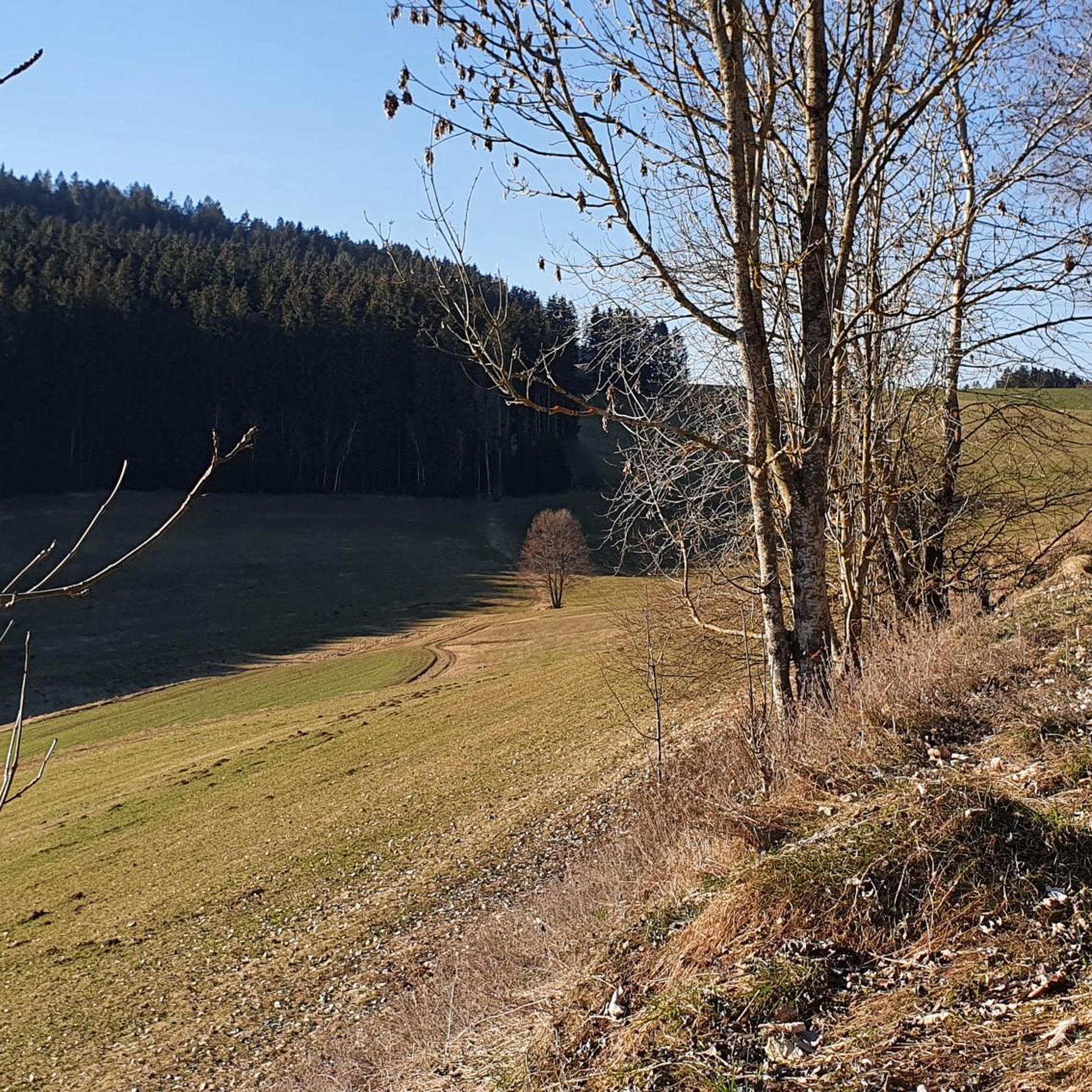

Tips from the Community

The inn in the middle of the world in Neußerling.
0
0
Bad Leonfelden Adalbert-Stifter-Park as a promenade park with a castle keep column.
0
0
The town hall stands at the western end of the main square, northeast of the parish church in the town of Bad Leonfelden in the Mühlviertel region.
0
0
Brunnwald Castle is located in the village of Brunnwald, municipality of Vorderweißenbach in the district of Urfahr-Umgebung near Bad Leonfelden.
0
0
A hike through the 'Brunnwald' along the moorland forest path (marked by the squirrel) offers interesting insights into nature.
0
0

Crossing the large mill then a very steep climb 21 =
0
0

Great view when you come out of the Stone Forest
0
0

The pilgrimage dates back to 1793.
5
0
Frequently Asked Questions
What is the general difficulty level of road cycling routes in Sankt Veit im Mühlkreis?
The road cycling routes around Sankt Veit im Mühlkreis are predominantly moderate, with 124 routes falling into this category. There are also 9 easy routes and 93 difficult routes, offering options for various skill levels. The terrain is characterized by rolling hills, providing varied challenges with moderate ascents and descents.
Are there road cycling routes suitable for beginners in Sankt Veit im Mühlkreis?
Yes, Sankt Veit im Mühlkreis offers 9 easy road cycling routes that are suitable for beginners. These routes typically feature less challenging terrain and elevation changes, allowing new cyclists to enjoy the Upper Austrian countryside at a comfortable pace.
What are the typical distances for road cycling routes in this region?
Road cycling routes in Sankt Veit im Mühlkreis vary in distance. For example, the popular Niederwaldkirchen – St. Peter am Wimberg Church loop from St. Veit im Mühlkreis is about 28.8 km, while the Waxenberg – View of Waxenberg Castle Ruins loop from Großtraberg extends to 42.0 km. You'll find a range of distances to suit different preferences and endurance levels.
What kind of scenery can I expect along the road cycling routes?
Road cycling routes in Sankt Veit im Mühlkreis offer picturesque views of the Mühlviertel region. You can expect to traverse rolling hills, pass through agricultural lands, and cycle past small villages. Many routes also feature forested sections and open countryside, providing a diverse and scenic experience.
Are there any circular road cycling routes available?
Yes, many road cycling routes in Sankt Veit im Mühlkreis are designed as loops, allowing you to start and end at the same point. Examples include the View of Bad Leonfelden – Bad Leonfelden Market Square loop from Ahorn and the Waxenberg – St. Veit Church in Mühlkreis loop from Neußerling.
What can I see along the road cycling routes in terms of natural attractions or viewpoints?
Along the routes, you can discover several natural attractions and viewpoints. Notable spots include the Sternstein Observation Tower, offering panoramic views, and the unique Kerzenstein natural monument. You might also encounter the Blue Alley Stream and Waterfalls.
Are there places to stop for refreshments or food along the routes?
Yes, the region offers several places to stop for refreshments. You might find inns like Zur Gis Inn or restaurants such as Eidenberger Alm and the Forest tavern at the Sternstein, which are popular with locals and visitors alike.
What do other road cyclists enjoy most about road cycling in Sankt Veit im Mühlkreis?
The area is highly rated by the komoot community, with an average score of 4.7 stars from over 200 reviews. Reviewers often praise the varied terrain, the scenic views of the Upper Austrian countryside, and the well-maintained routes that cater to different ability levels.
When is the best time of year for road cycling in Sankt Veit im Mühlkreis?
The best time for road cycling in Sankt Veit im Mühlkreis is typically during the warmer months, from spring through early autumn. During this period, the weather is generally favorable, and the natural landscape is at its most vibrant, making for pleasant cycling conditions.
Are there any challenging road cycling routes for experienced riders?
Absolutely. For experienced road cyclists seeking a challenge, there are 93 difficult routes available. These routes often feature significant elevation gains and longer distances, such as the Waxenberg – View of Waxenberg Castle Ruins loop from St. Veit im Mühlkreis, which includes over 600 meters of elevation gain.
What kind of terrain can I expect on the road cycling routes?
The terrain in Sankt Veit im Mühlkreis is characterized by rolling hills, which means you can expect a mix of moderate ascents and descents. Routes often pass through agricultural lands, small villages, and forested areas, providing a varied and engaging cycling experience typical of the Mühlviertel region.
Most popular routes around Sankt Veit im Mühlkreis
Most popular attractions around Sankt Veit im Mühlkreis

Get inspired with the komoot mobile app


Explore more
Browse the best Road cycling routes in other regions.
