The best mountain hikes around Sankt Veit im Mühlkreis
38
hikers
4
hikes
Mountaineering routes around Sankt Veit im Mühlkreis traverse a landscape characterized by rolling hills, dense woodlands, and river valleys. The region features prominent points like Sternstein, offering elevated perspectives, alongside historical sites such as Waxenberg Castle Ruins. This area provides a mix of natural and cultural points of interest for mountaineers.
Best mountaineering routes around Sankt Veit im Mühlkreis
- The most popular mountaineering route is Sternstein loop from Sternstein, a 2.2 miles (3.6 km) trail that takes 1 hour…
Last updated: July 2, 2026
11
hikers
3.55km
01:09
160m
160m
Easy mountaineering route. Great for any fitness level. Easily-accessible paths. Suitable for all skill levels.
9
hikers
7.74km
02:12
180m
180m
Moderate mountaineering route. Good fitness required. Easily-accessible paths. Suitable for all skill levels.

Sign up for free
5
hikers
Moderate mountaineering route. Good fitness required. Easily-accessible paths. Suitable for all skill levels.
3
hikers
Moderate mountaineering route. Good fitness required. Easily-accessible paths. Suitable for all skill levels.
3
hikers
9.37km
02:44
230m
230m
Moderate mountaineering route. Good fitness required. Easily-accessible paths. Suitable for all skill levels.
Our route recommendations are based on thousands of hikes, rides, and runs completed by other people on komoot.
Start today with a free account
Your next adventure awaits.
Login or Signup
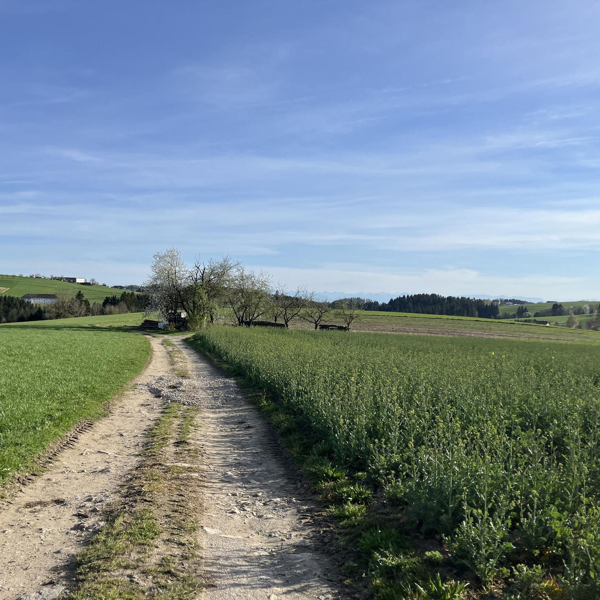
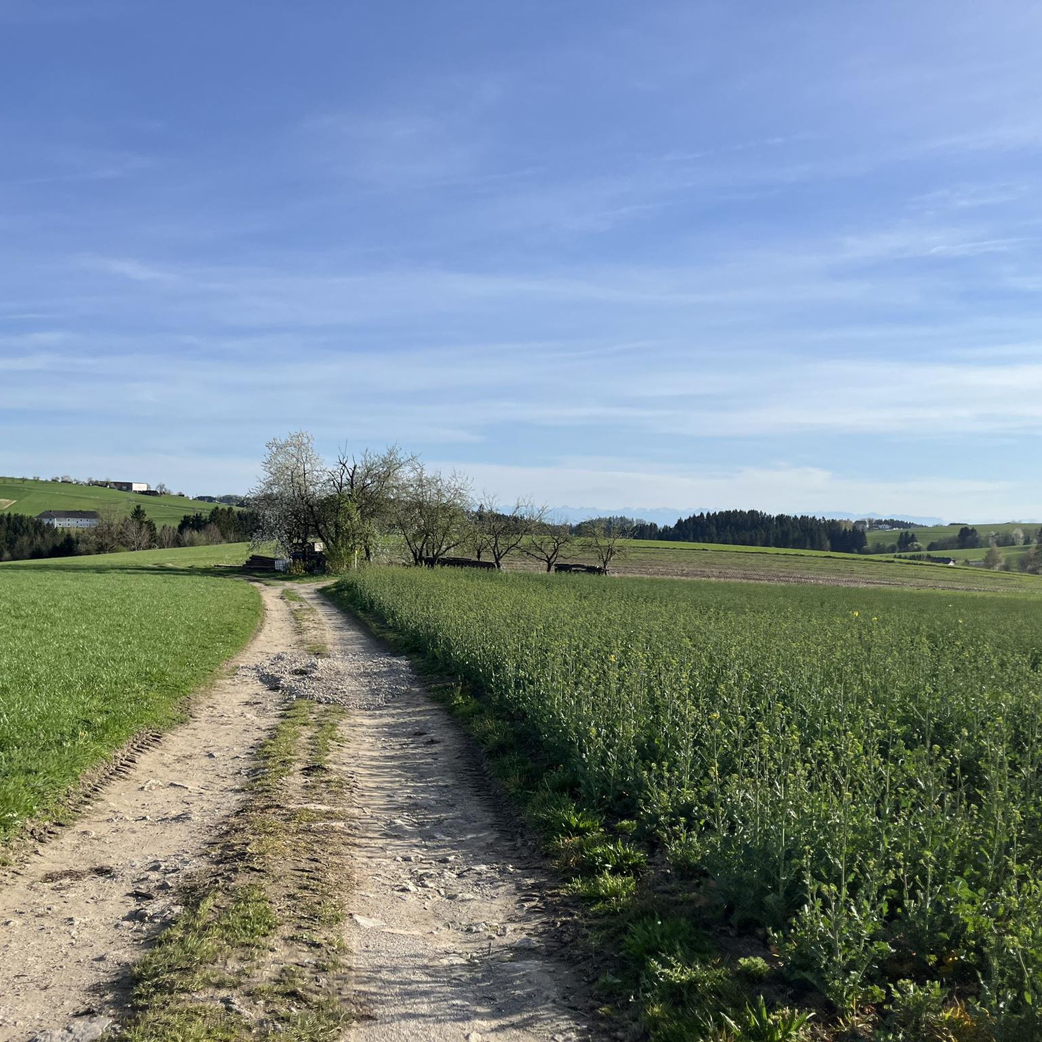
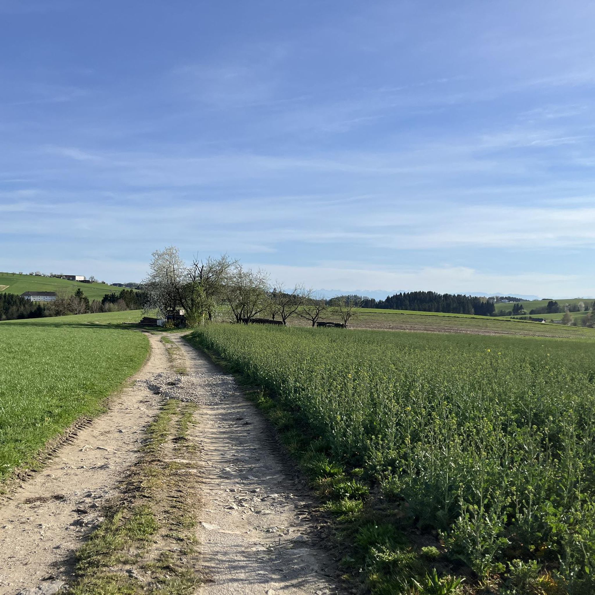
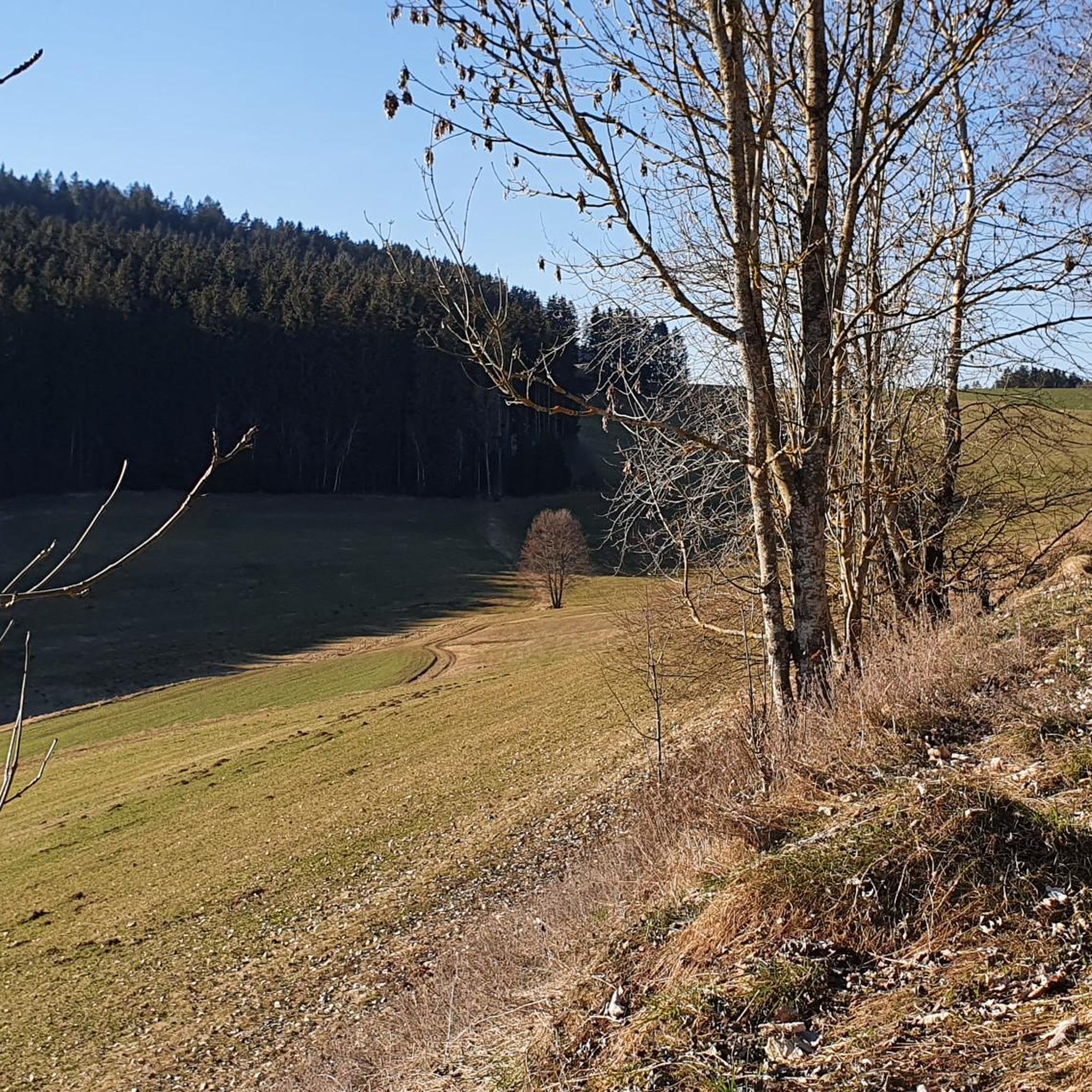

Tips from the Community

There must have been a little emergency landing there 🤣
0
0
Great trail, only the railings could do with a repair.
0
0
Beautiful what nature can create
0
0

Very nice hike, you are in the shade a lot.
1
0

Minerals in the granite reflect the light, giving the alley a bluish appearance under certain lighting conditions. The combination of water, rocks, and forest creates an almost fairytale atmosphere.
1
0
The Kerzenstein is a striking natural monument in the idyllic Pesenbach Valley. A vertical granite rock, its shape reminiscent of a candle—hence its name.
1
0
Frequently Asked Questions
How many mountaineering routes are available in Sankt Veit im Mühlkreis?
This guide features 4 distinct mountaineering routes around Sankt Veit im Mühlkreis. These trails offer a variety of experiences through the region's characteristic rolling hills and dense woodlands.
Are there any easy mountaineering routes suitable for beginners?
While the guide generally categorizes routes as moderate, the Sternstein loop from Sternstein is a shorter option, covering 2.2 miles (3.6 km) with a moderate elevation gain, making it a good starting point for those new to mountaineering in the area.
Are there circular mountaineering paths in Sankt Veit im Mühlkreis?
Yes, several routes in the region are circular. For example, the Green Pond – Pesenbachsteig Trail loop from Ruine Oberwallsee offers a varied circular path exploring different terrains.
What interesting landmarks or attractions can I see along the mountaineering routes?
The routes often pass by historical sites and natural features. You can explore the Green Pond on the Pesenbachsteig Trail loop, or visit the Hansberg Viewpoint. The Waxenberg Castle Ruins – St. Veit Church in Mühlkreis loop from St. Veit im Mühlkreis takes you past significant historical structures.
Can I find mountaineering routes with hut stops for refreshments?
Yes, the region offers opportunities for hut stops. The Mushroom rock in Silberhartschlag – Sternstein Observation Tower loop from Bad Leonfelden passes near areas where you might find places like the Forest tavern at the Sternstein, perfect for a break.
Are the mountaineering routes in Sankt Veit im Mühlkreis dog-friendly?
Many trails in the Mühlviertel region are generally dog-friendly, but it's always advisable to keep dogs on a leash, especially in forested areas or near livestock. Always carry water for your dog and be mindful of local regulations.
What is the best season for mountaineering in Sankt Veit im Mühlkreis?
The best seasons for mountaineering in Sankt Veit im Mühlkreis are typically spring, summer, and autumn. During these times, the weather is generally mild, and the trails are clear, allowing for enjoyable exploration of the forested hills and river valleys. Winter mountaineering is possible but requires appropriate gear and experience due to snow and ice.
Are there family-friendly hiking trails in Sankt Veit im Mühlkreis?
The region offers routes that can be enjoyed by families. The Sternstein loop from Sternstein is a shorter, less strenuous option that could be suitable for families looking for a pleasant outdoor experience.
Is parking available at the trailheads for mountaineering routes?
Parking is generally available at common starting points for routes in the Sankt Veit im Mühlkreis area, such as near Sternstein or Bad Leonfelden. It's recommended to check specific trailhead information for detailed parking options before your trip.
Are there any mountaineering routes with prominent viewpoints?
Yes, the region is known for its elevated perspectives. The 1000-Meter Spot – Sternstein Observation Tower loop from Sternstein specifically leads to an observation tower, offering expansive views of the surrounding landscape.
What do other mountaineers enjoy about the routes in Sankt Veit im Mühlkreis?
Mountaineers often praise the diverse landscape of Sankt Veit im Mühlkreis, which combines rolling hills, dense woodlands, and scenic river valleys. The well-maintained trails and the mix of natural beauty with historical landmarks like Waxenberg Castle Ruins are frequently highlighted as enjoyable aspects of the region's routes.
Most popular routes around Sankt Veit im Mühlkreis
Most popular attractions around Sankt Veit im Mühlkreis

Get inspired with the komoot mobile app


Explore more
Browse the best Mountain Hikes & Routes in other regions.
