The best walks and hikes around Sankt Veit im Mühlkreis
4.6
(2961)
17,564
hikers
32
hikes
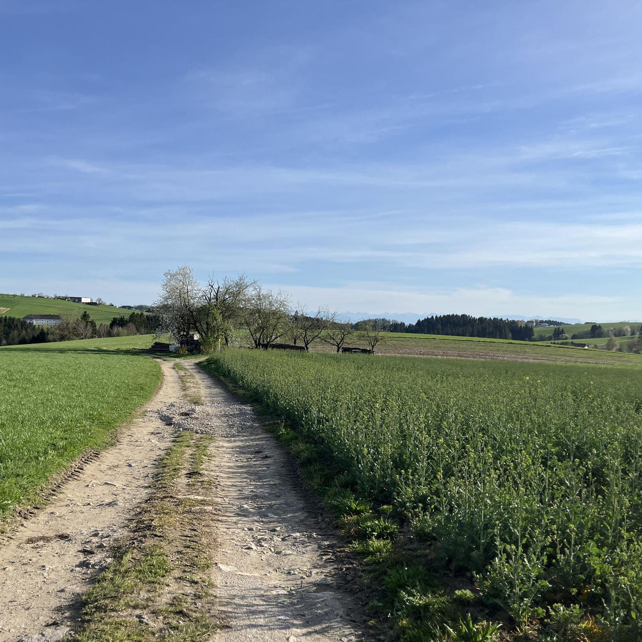
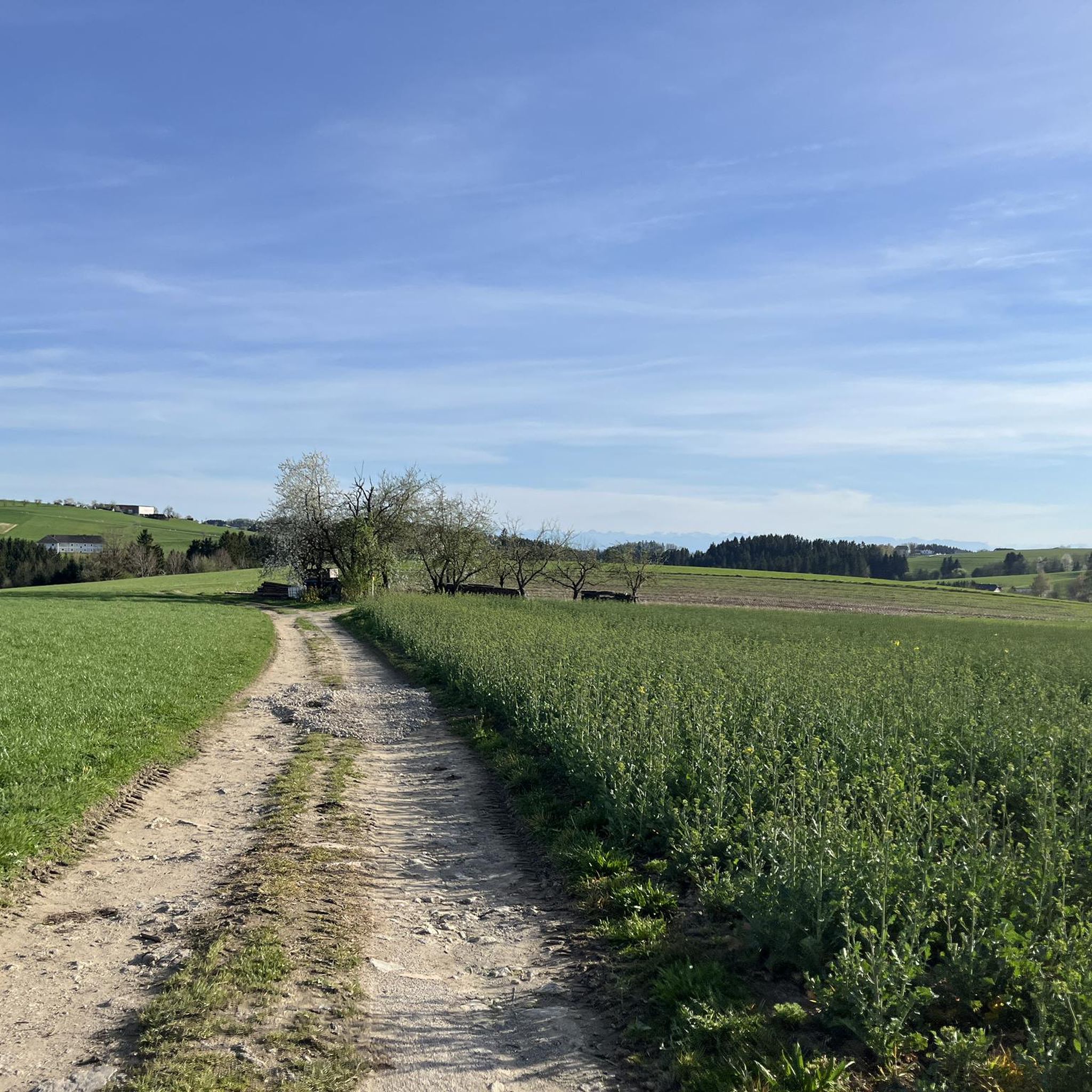
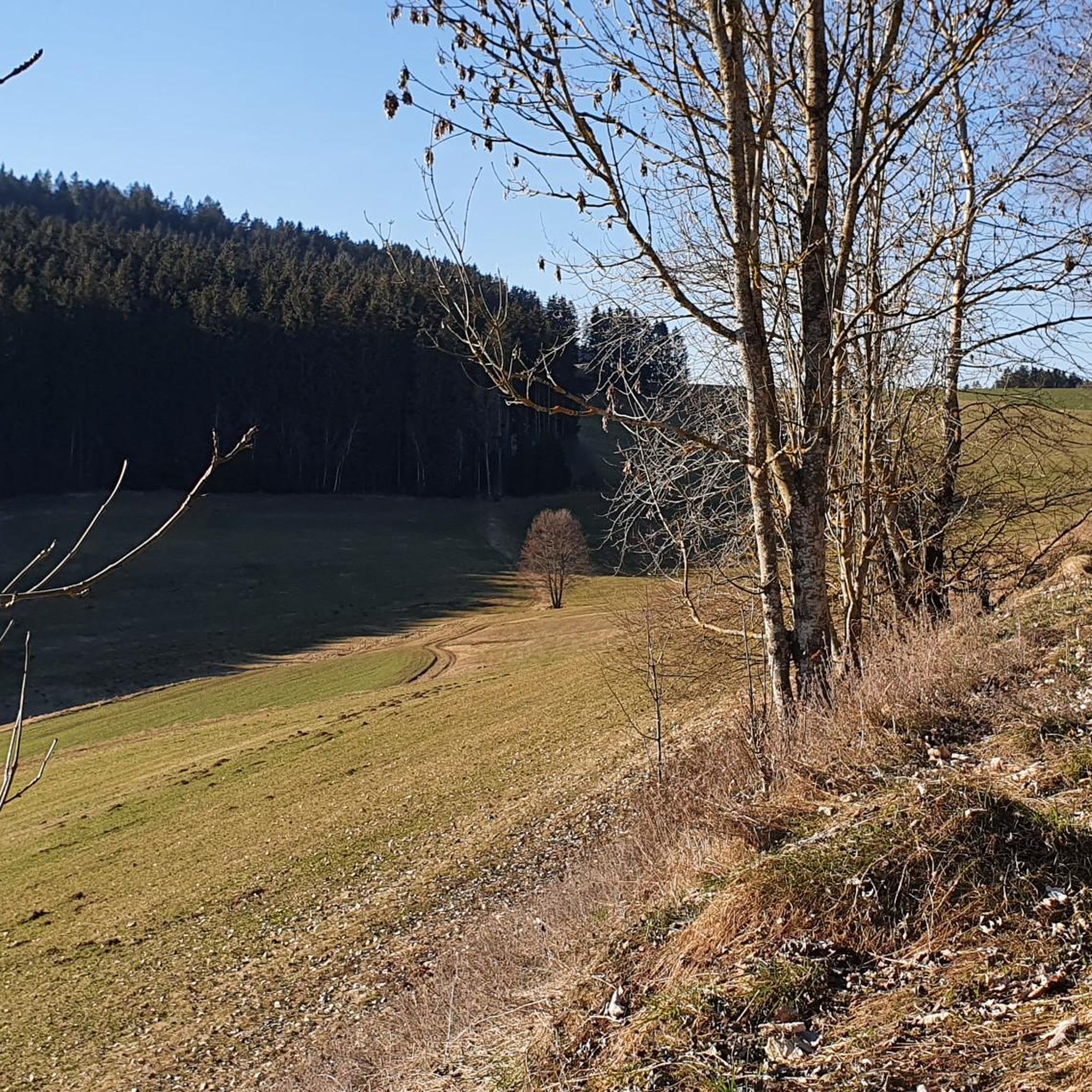
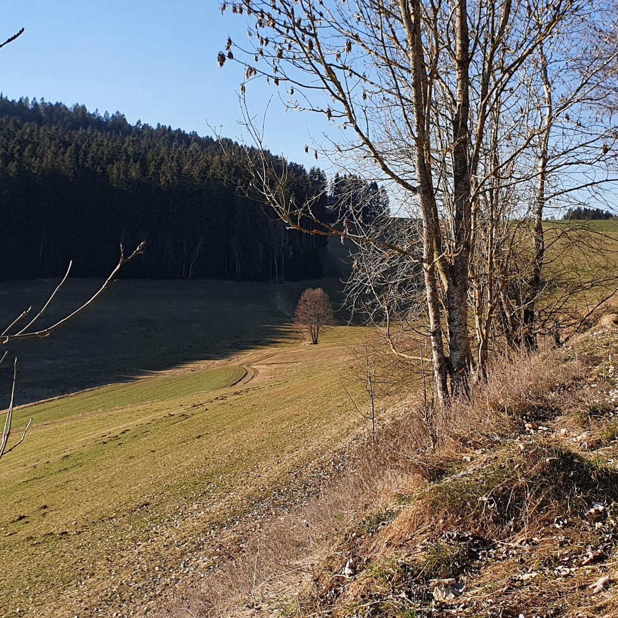
Hiking around Sankt Veit im Mühlkreis offers diverse landscapes characterized by rolling hills and picturesque forests in Austria's Rohrbach district. The region provides panoramic views of the broader Mühlviertel and the Große Mühl river, with a unique granite landscape contributing to its charm. Trails often feature flowering meadows and tree-lined avenues, with some offering distant views of the Alps on clear days.
Best hiking trails around Sankt Veit im Mühlkreis
- The most popular hiking route is Waxenberg Castle Ruins –…
Last updated: June 27, 2026
4.2
(5)
25
hikers
8.25km
02:33
300m
300m
Moderate hike. Good fitness required. Easily-accessible paths. Suitable for all skill levels.
5.0
(6)
31
hikers
9.53km
02:48
270m
270m
Moderate hike. Good fitness required. Easily-accessible paths. Suitable for all skill levels.

Sign up for free
4.3
(4)
28
hikers
4.51km
01:22
150m
150m
Easy hike. Great for any fitness level. Easily-accessible paths. Suitable for all skill levels.
4.5
(4)
22
hikers
Moderate hike. Good fitness required. Easily-accessible paths. Suitable for all skill levels.
3.8
(17)
37
hikers
5.67km
01:36
120m
120m
Easy hike. Great for any fitness level. Easily-accessible paths. Suitable for all skill levels.
Get access to more routes and recommendations from other explorers.
Sign up for free
Already have an account?
Our route recommendations are based on thousands of hikes, rides, and runs completed by other people on komoot.
Start today with a free account
Your next adventure awaits.
Login or Signup
Popular around Sankt Veit im Mühlkreis

Tips from the Community

Top restaurant for a short break with delicious food.
0
0

Chapels hiking trail V1 At each shrine or chapel there is a plaque on which the legend of the small monument can be read.
1
0
Chapels hiking trail V1 At each shrine or chapel there is a plaque on which the legend of the small monument can be read.
1
0
Chapels hiking trail V1 At each shrine or chapel there is a plaque on which the legend of the small monument can be read.
1
0
Chapels hiking trail V1 At each shrine or chapel there is a plaque on which the legend of the small monument can be read.
1
0
Chapels hiking trail V1 At each shrine or chapel there is a plaque on which the legend of the small monument can be read.
1
0
Chapels hiking trail V1 At each shrine or chapel there is a plaque on which the legend of the small monument can be read.
1
0
Chapels hiking trail V1 At each shrine or chapel there is a plaque on which the legend of the small monument can be read.
1
0
Frequently Asked Questions
How many hiking trails are available in Sankt Veit im Mühlkreis?
Sankt Veit im Mühlkreis offers a diverse network of over 30 hiking trails. These routes cater to various fitness levels, with 19 classified as easy and 14 as moderate, ensuring there's a suitable option for everyone.
When is the best time of year to go hiking in Sankt Veit im Mühlkreis?
The most pleasant seasons for hiking in Sankt Veit im Mühlkreis are spring and autumn. During these times, the mild climate and vibrant natural colors create an inviting atmosphere for exploring the rolling hills and picturesque forests.
Are there any family-friendly hiking trails in Sankt Veit im Mühlkreis?
Yes, Sankt Veit im Mühlkreis offers trails suitable for families. The "Pure Nature" Adventure Trail along the Große Mühl river is specifically designed for children, featuring interactive stations to learn about nature. Another easy option is the Hansberg Chapel – Hansberg Viewpoint loop, which is shorter and leads through a shaded forest.
What kind of natural features and landscapes can I expect to see while hiking here?
Hikers in Sankt Veit im Mühlkreis will encounter a landscape characterized by rolling hills, dense forests, and the Große Mühl river. You can enjoy panoramic views of the broader Mühlviertel region and the Danube, discover flowering meadows, and experience the unique granite landscape. On clear days, some routes even offer distant views of the Alps.
Are there any circular hiking routes in Sankt Veit im Mühlkreis?
Many trails in Sankt Veit im Mühlkreis are circular, offering convenient starting and ending points. Examples include the Waxenberg Castle Ruins – Waxenberg loop, which explores a historic area, and the Leitner house niche – Wagnerkapelle Memorial Chapel loop, which passes local monuments.
What do other hikers enjoy most about hiking in Sankt Veit im Mühlkreis?
The area is highly rated by the komoot community, with an average score of 4.5 stars from over 600 reviews. Hikers often praise the diverse terrain, from gentle hills to shaded forests, and the well-maintained paths that offer both tranquil nature experiences and rewarding panoramic views.
Are there any notable landmarks or attractions along the hiking trails?
Yes, several trails lead to or pass by interesting landmarks. You can hike to Weinberg Castle for majestic architecture and views, or explore the Wolfgang Chapel (Blutschüssel Chapel). The Kapellenweg (Chapel Path) is a circular route specifically designed to lead past numerous small monuments, shrines, and chapels, offering moments for reflection.
Are there any trails with waterfalls or interesting water features?
Yes, the region features natural water elements. The "Pure Nature" Adventure Trail winds along the Große Mühl river, offering playful exploration. Additionally, you can find the Blue Alley Stream and Waterfalls, which are notable natural features in the area.
Can I find places to stop for refreshments or snacks along the trails?
Some trails offer opportunities for refreshments. For instance, the Hoamatlandweg trail, which ascends to the Hansberg, leads to a snack station at the Schnopfhagendenkmal, providing a convenient stop for hikers.
Are there longer, more challenging hikes available for experienced hikers?
While most trails are easy to moderate, the region does offer options for more dedicated hikers. The Granitpilgern (Granite Pilgrimage) is a multi-day circular hike in the upper Mühlviertel, providing a more challenging experience for those seeking a longer adventure.
What is the typical duration of hikes in Sankt Veit im Mühlkreis?
Hiking durations vary depending on the trail. Many popular routes, like the Waxenberg Castle Ruins – Waxenberg loop, take around 2.5 hours. Shorter, easy trails such as the Hansberg Chapel – Hansberg Viewpoint loop can be completed in about 1 hour 20 minutes, while longer moderate routes like the Rest Area by the Pesenbach – Hansberg Chapel loop can take over 4 hours.
Most popular routes around Sankt Veit im Mühlkreis
Most popular attractions around Sankt Veit im Mühlkreis

Get inspired with the komoot mobile app


Explore more
Browse the best Hikes in other regions.
