The best running trails around Aprica
4.8
(5)
317
runners
16
runs
Jogging around Aprica offers diverse routes through alpine landscapes in Lombardy, Italy. The region is characterized by coniferous forests, verdant valleys, and impressive mountain vistas, serving as the eastern gateway to the Orobie Valtellinesi Park. Trails often feature natural attractions like peat bogs, fir forests, and characteristic waterfalls, providing varied terrain for runners. The area's extensive network of paths moves from Aprica to higher altitudes, offering both challenging climbs and rewarding views.
Best jogging routes around Aprica
- The most popular…
Last updated: September 27, 2026
15
runners
8.51km
01:06
310m
300m
Hard run. Very good fitness required. Sure-footedness, sturdy shoes and alpine experience required.
14.0km
02:27
930m
930m
Hard run. Very good fitness required. Sure-footedness, sturdy shoes and alpine experience required.

28
runners
15.5km
01:45
380m
380m
Hard run. Very good fitness required. Mostly paved surfaces. Suitable for all skill levels.
5.0
(1)
16
runners
8.78km
01:05
330m
330m
Hard run. Very good fitness required. Mostly paved surfaces. Suitable for all skill levels.
13
runners
5.45km
00:51
310m
310m
Hard run. Very good fitness required. Sure-footedness, sturdy shoes and alpine experience required.
Get access to more routes and recommendations from other explorers.
Already have an account?
Our route recommendations are based on thousands of hikes, rides, and runs completed by other people on komoot.
Start today with a free account
Your next adventure awaits.
Popular around Aprica


Other adventures around Aprica


Tips from the Community

Arrival pass of the stage of many international races and above all essential for passing various passes such as Passo Cristina, Passo Mortirolo and Tonale
0
0

Walk in the woods, also suitable for those who are not very fit, not excessively long, comfortable
0
1

Beautiful mountain village, rich in nature and activities that can be done both in winter and summer
0
0
A must-see, you eat very well
0
0

Aprica, as well as for the winter season, is also a very popular location for hiking. During the summer period it is possible to go trekking on more than 50 hiking itineraries reported by the CAI of Aprica. Walks among nature, admiring flowers and plants, picking mushrooms, photographing forest animals, are just some of the things that can happen to you by taking part in the various excursions, which differ in difficulty, route and duration. Discover excursions to Dosso Pasò, Palabione, Caronella pass, Lake Pisa, Prèmalt Campovecchio, Lake Piccolo, the Eastern Orobie Alps and Cima Torena.
2
0

Next to the top of the pass there is an information center and several restaurants.
1
0

The refuge is located at an altitude of 1920 metres, within the Orobie Valtellinesi Regional Park. In both summer and winter it is possible to stay overnight at the refuge which can be reached on foot or with the Magnolta cable car. More information https://www.rifugi.lombardia.it/sondrio/aprica/rifugio-valtellina.html
0
0
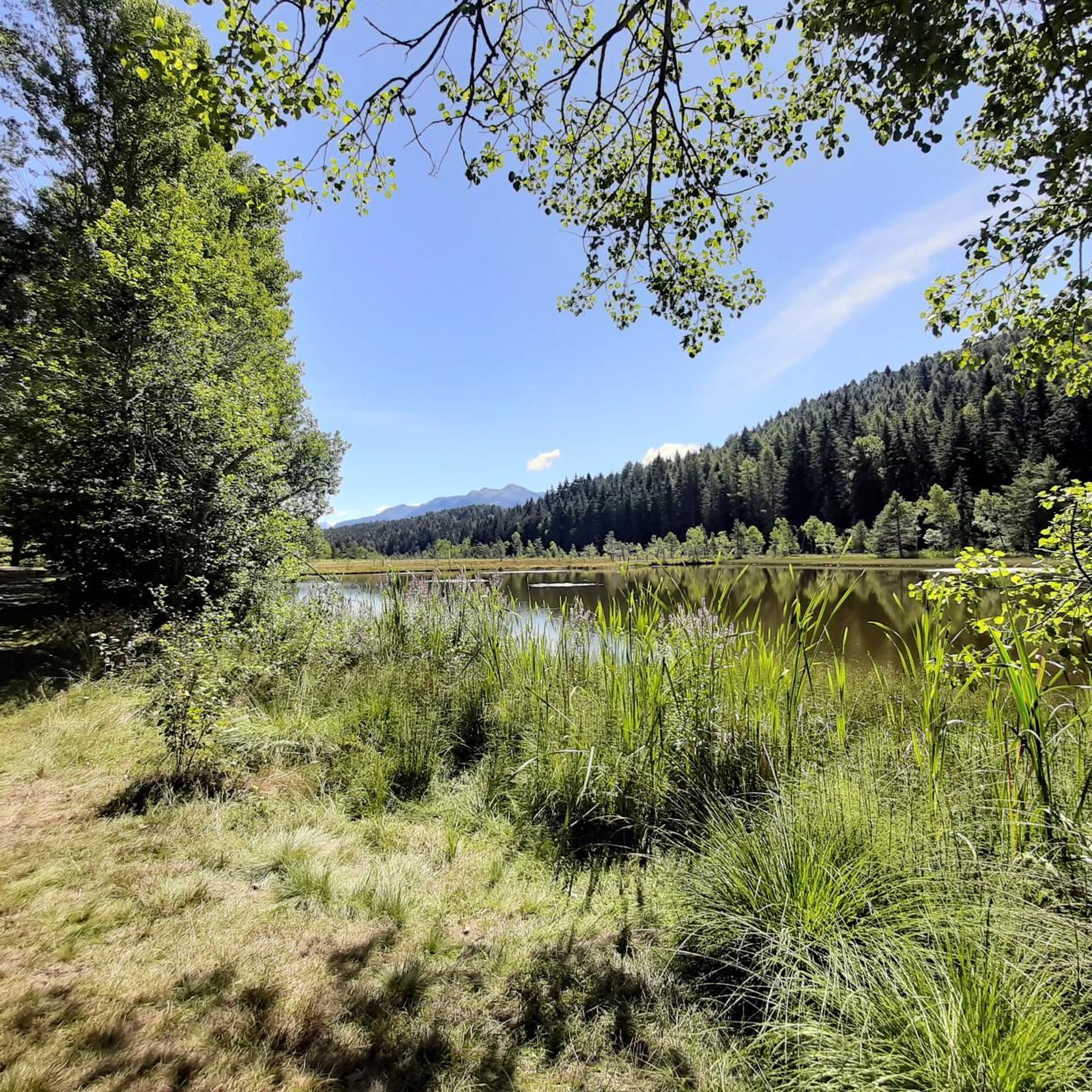
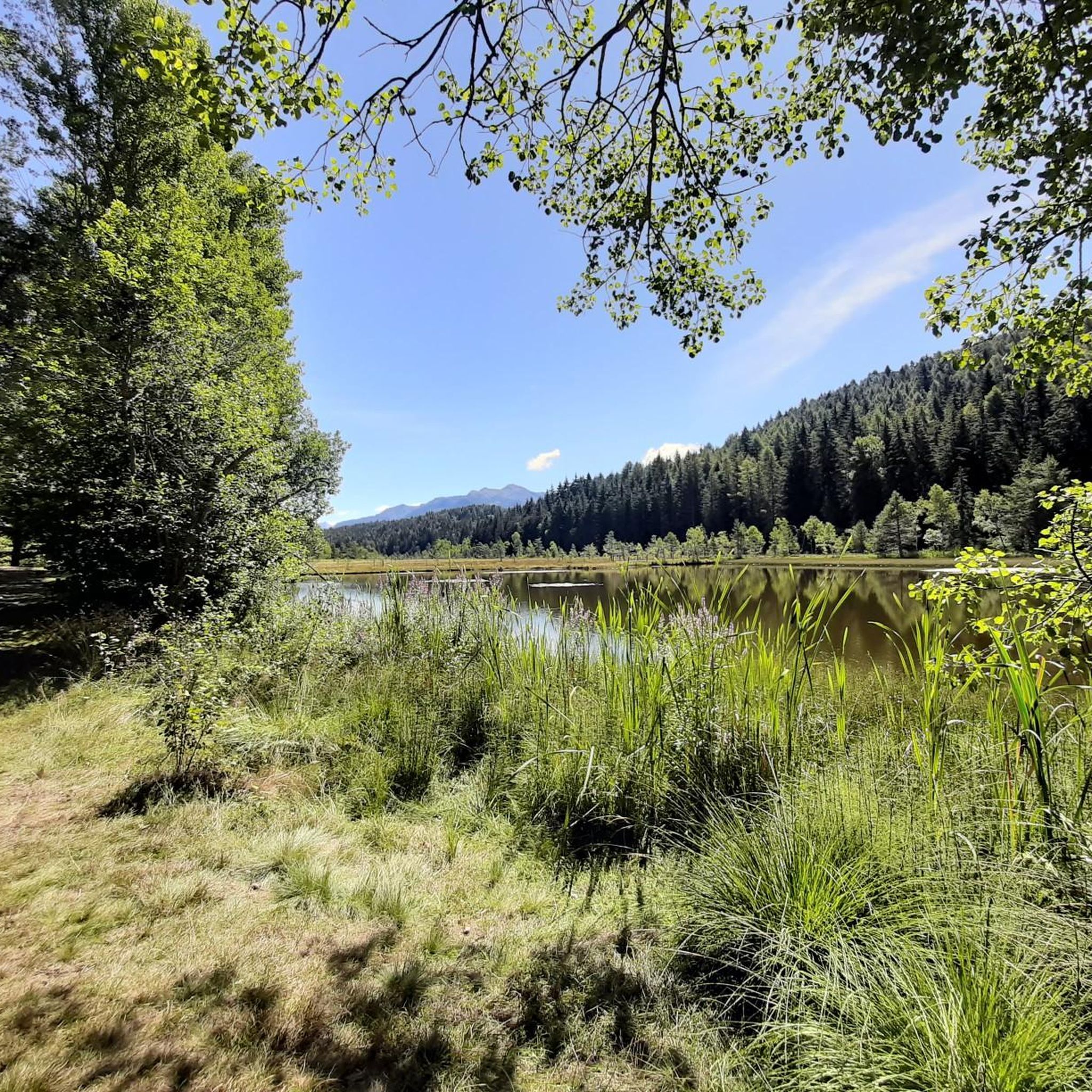
It is an ancient peat bog of glacial origin that attracts for its colors that change in every season and for the very rare plant species that populate it, such as some carnivorous plants: the Drosera and the Pinguicola of the underground areas or the Utricularia of the puddles of water.
0
0
Frequently Asked Questions
How many running trails are available in Aprica?
Aprica offers an extensive network of over 200 kilometers of well-marked mountain paths and itineraries. These routes cater to various fitness levels, ranging from easy paths to more demanding trails with significant elevation gains, ensuring a diverse experience for all runners.
Are there any easy or beginner-friendly jogging routes in Aprica?
Yes, while many routes in Aprica are challenging, there are options suitable for beginners or those looking for an easier run. The region features simple paved paths and easy trails within areas like the Valli di Sant'Antonio Nature Reserve, which are suitable for all ages. For specific routes, komoot lists 1 easy and 3 moderate running trails.
What are some challenging running routes in Aprica for experienced trail runners?
Aprica is known for its demanding alpine terrain. Experienced trail runners can tackle routes like the Rifugio Valtellina e Zappello dell'Asino – loop tour, an 8.7-mile (14.0 km) path with significant elevation gain. Another option is the Valentina Trail – Hotel Ristorante Le Betulle loop from Aprica, which is 7.6 miles (12.2 km) and also considered difficult. The famous "Fourth of July" Trail, a 35-kilometer route with 2350 meters of elevation gain, is also a notable challenge in the area.
Are there any loop running routes around Aprica?
Yes, Aprica offers several excellent loop running routes. A popular choice is the Rifugio Valtellina e Zappello dell'Asino – loop tour, which provides a challenging experience through alpine landscapes. Another option is the Valentina Trail – Hotel Ristorante Le Betulle loop from Aprica, offering varied scenery. These loops allow runners to start and finish in the same location, often providing diverse views along the way.
What kind of scenery can I expect on the running trails in Aprica?
Jogging in Aprica offers breathtaking alpine scenery, characterized by dense coniferous forests, lush green valleys, and impressive mountain vistas. Many routes provide panoramic views as they ascend to altitudes exceeding 2000 meters. You can also encounter natural features like peat bogs and fir forests in areas such as the Pian di Gembro Nature Reserve, and even characteristic waterfalls in the Caronella Valley.
Are there any specific attractions or landmarks to see along the running routes?
Absolutely! Many running routes in Aprica pass by or offer views of significant natural and historical landmarks. You might encounter the unique ecosystems of the Pian di Gembro Nature Reserve, or the enchanting settings of the Valli di Sant'Antonio. For those seeking stunning water features, the Barbellino Reservoir and the impressive Serio Falls are notable highlights in the broader Orobie Mountains area. Additionally, some themed paths, like the "Monte della Croce" Historical-Military Trail, offer insights into local history.
Is Aprica a good destination for family-friendly running or jogging?
Yes, Aprica is renowned for its family-friendly atmosphere and offers several easy paths suitable for all ages. The meticulously maintained environment ensures safety and convenience for visitors. Areas like the Valli di Sant'Antonio Nature Reserve provide easy trails perfect for families looking to enjoy a gentle jog or walk together amidst beautiful natural settings.
What do other runners enjoy most about jogging in Aprica?
The running routes in Aprica are highly rated by the komoot community, with an average score of 4.8 stars from over 4 reviews. Runners often praise the stunning alpine scenery, the diverse terrain that caters to various fitness levels, and the clear mountain air. The well-marked paths and the opportunity to immerse oneself in nature while pursuing fitness goals are frequently highlighted.
What is the best season for running in Aprica?
The best season for running in Aprica is generally from late spring through early autumn (May to October), when the alpine trails are free of snow and the weather is mild. During these months, the verdant valleys and forests are at their most beautiful, and the higher altitude routes offer refreshing conditions and spectacular views. Winter offers cross-country skiing, but dedicated running on trails is best in warmer months.
Are there any dog-friendly running trails in Aprica?
Aprica's extensive network of mountain paths generally welcomes dogs, making it a great destination for running with your canine companion. It's always advisable to keep dogs on a leash, especially in nature reserves like the Orobie Valtellinesi Park, to protect local wildlife and ensure a pleasant experience for all trail users. Always carry water for your dog, especially on longer or more exposed routes.
What should I bring for running on Aprica's trails?
Given the alpine environment and varied terrain, it's recommended to bring appropriate trail running shoes with good grip, layers of clothing to adapt to changing weather conditions, and sufficient water and snacks. For longer or more challenging routes, a map or GPS device (like komoot's app) is advisable, along with a first-aid kit. Sun protection, such as a hat and sunscreen, is also important, especially at higher altitudes.
Can I access higher altitude running routes using ski lifts in Aprica?
Yes, for those looking to access highly panoramic routes without the initial climb, ski lifts can be utilized. Locations like Magnolta, Palabione, and Baradello offer lift access to higher elevations, where you can find trails with stunning views and often mountain restaurants or huts. This can be a great option for less seasoned runners or those wanting to conserve energy for the high-altitude sections.
Most popular attractions around Aprica

Get inspired with the komoot mobile app


Explore more
Browse the best Running Trails & Routes in other regions.
