The best mountain hikes around Artogne
4.2
(4)
44
hikers
Mountaineering routes around Artogne are set within the Lombardy region of Italy, characterized by a diverse landscape of prominent peaks, expansive natural parks, and the scenic beauty of Lake Iseo. The terrain includes challenging ascents to summits like Monte Guglielmo and Corna Trentapassi, offering wide-ranging panoramic views. The area also features dense forests, valleys, and connections to larger mountain groups like the Adamello. This varied topography provides a rich environment for mountaineering.
Best mountaineering routes around Artogne
- The most popular…
Last updated: May 23, 2026
4.3
(3)
29
hikers
8.06km
05:05
980m
980m
Hard mountaineering route. Very good fitness required. Sure-footedness, sturdy shoes and alpine experience required.
6
hikers
11.6km
05:04
860m
860m
Hard mountaineering route. Very good fitness required. Sure-footedness, sturdy shoes and alpine experience required.

Sign up for free
4
hikers
13.9km
06:13
990m
990m
Hard mountaineering route. Very good fitness required. Sure-footedness, sturdy shoes and alpine experience required.
4.0
(1)
5
hikers
8.40km
04:12
750m
750m
Hard mountaineering route. Good fitness required. Sure-footedness, sturdy shoes and alpine experience required.
Our route recommendations are based on thousands of hikes, rides, and runs completed by other people on komoot.
Start today with a free account
Your next adventure awaits.
Login or Signup
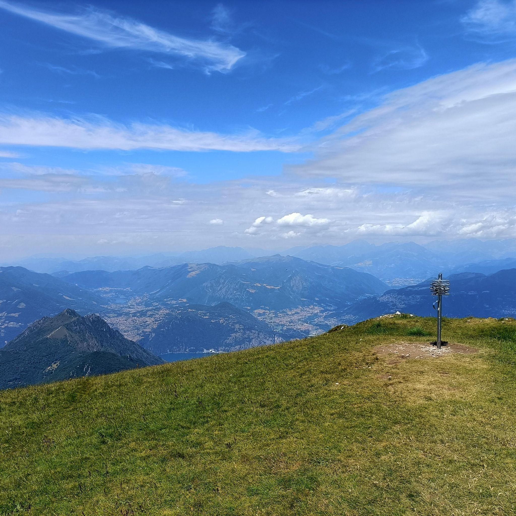
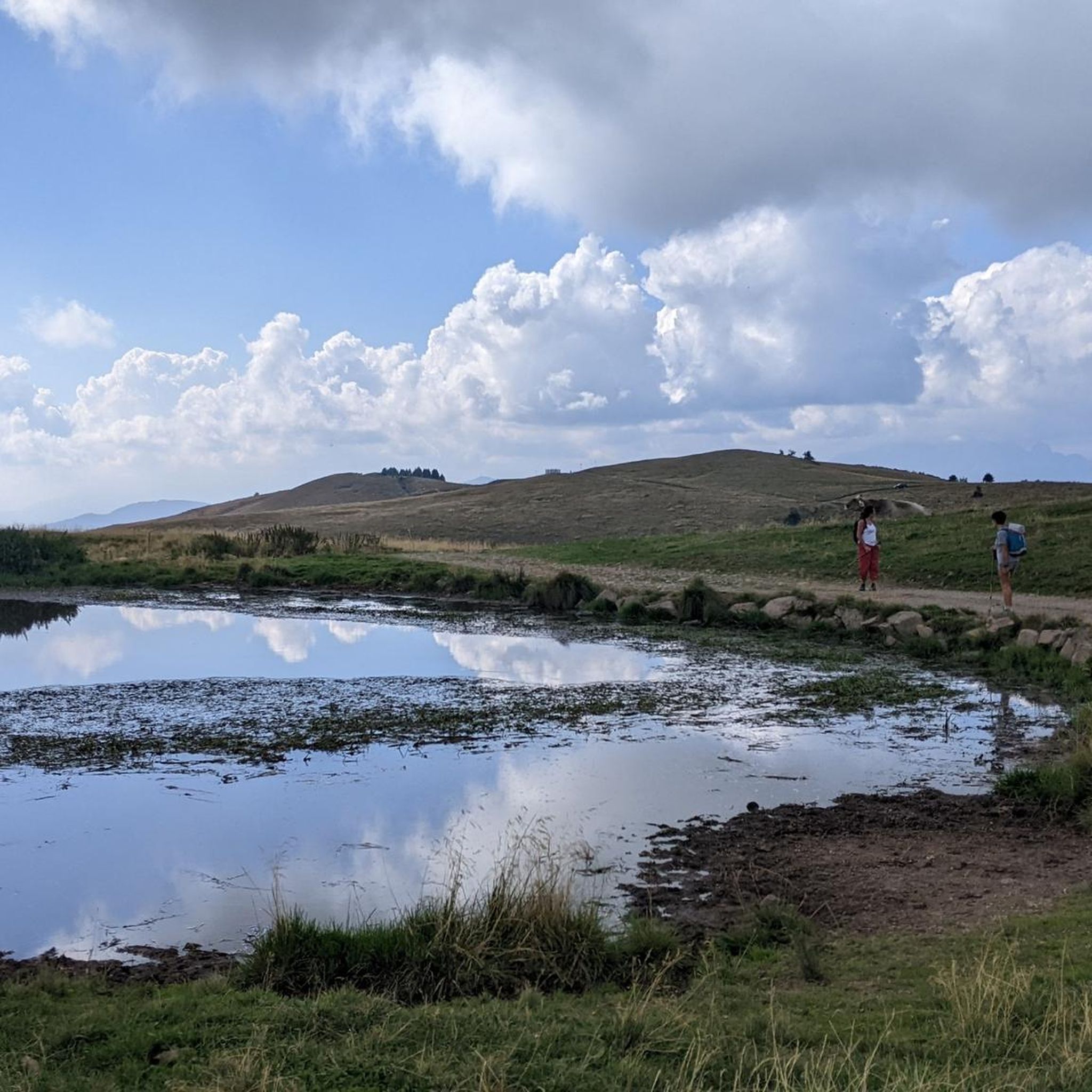
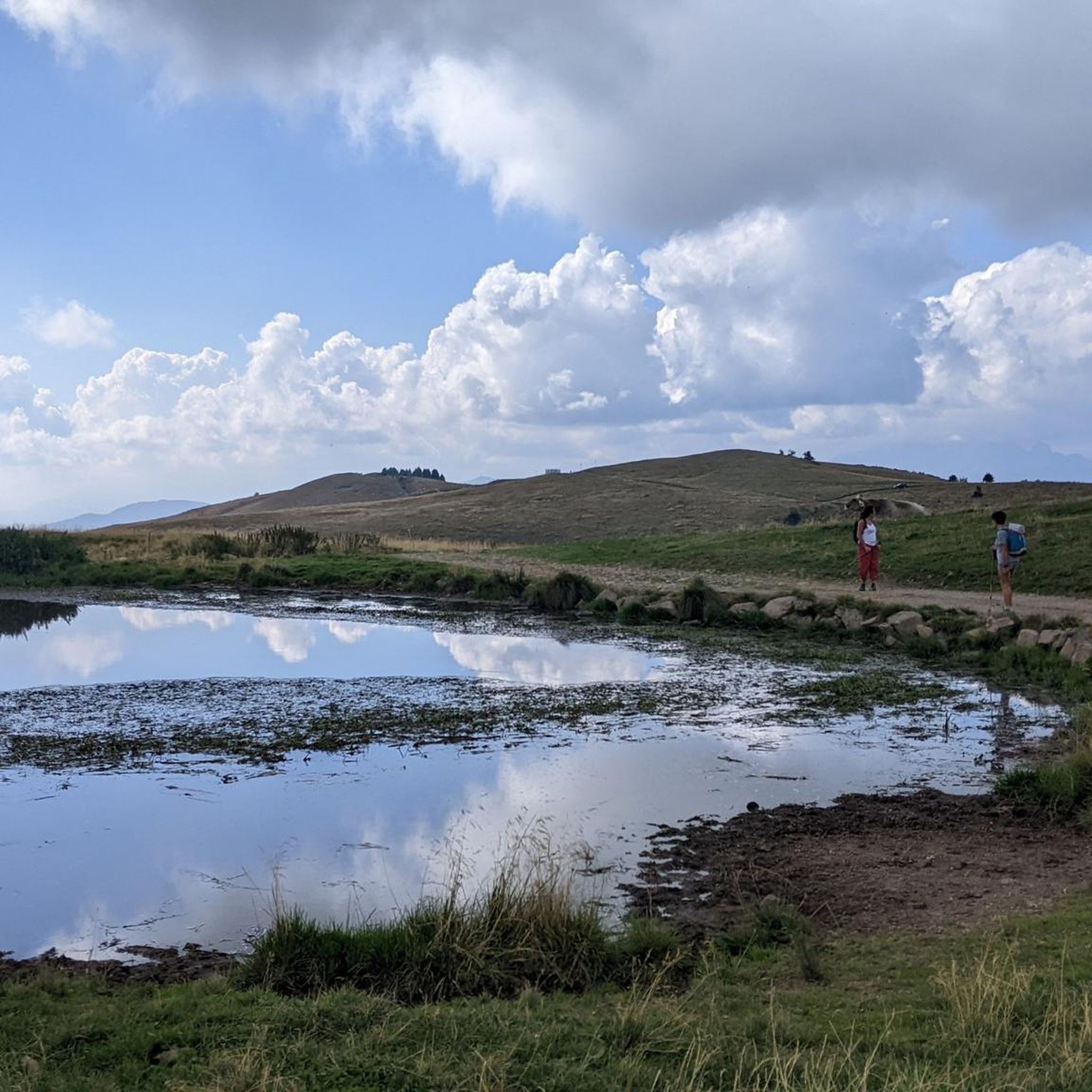
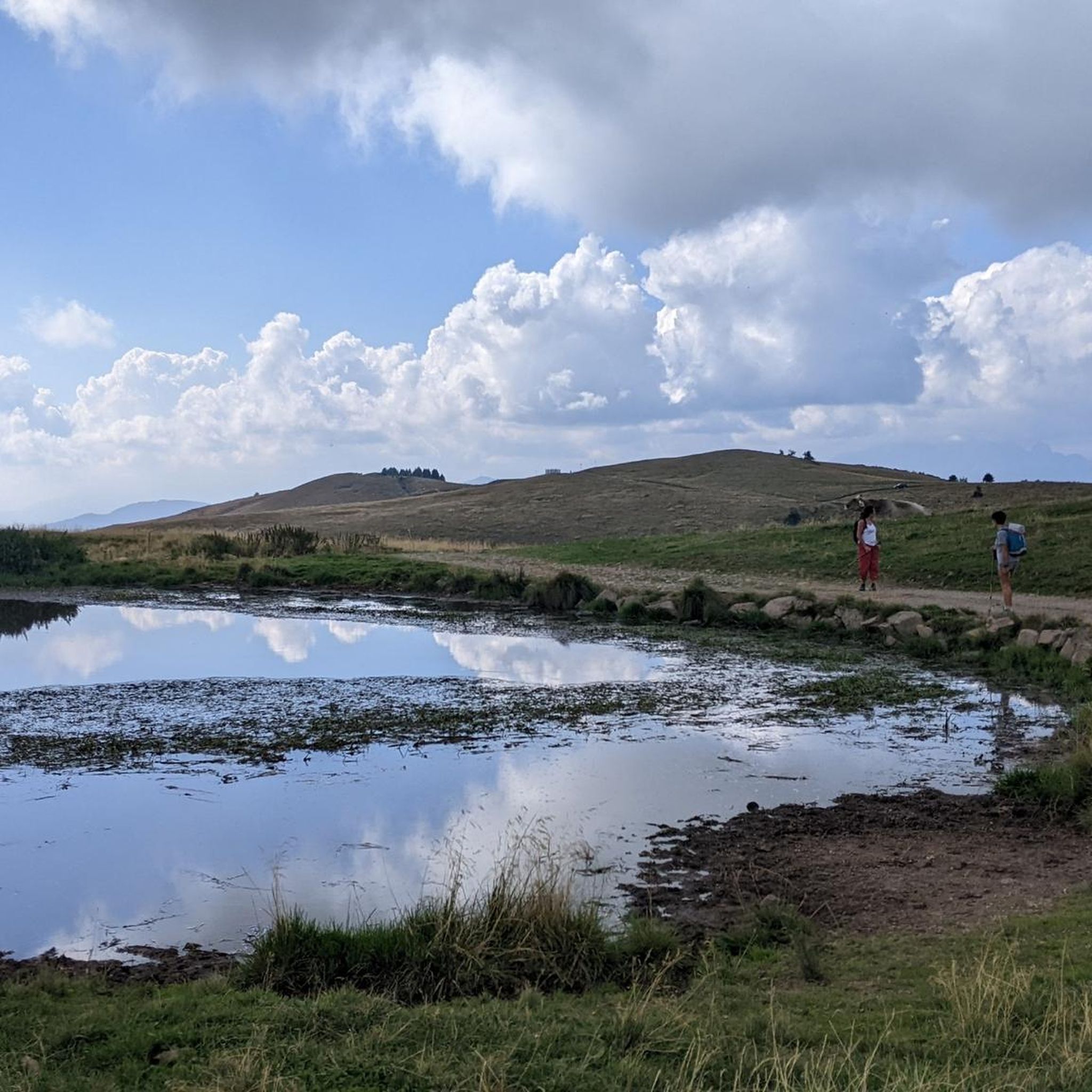

Tips from the Community

Passo degli Agnelli (1,950 m) is a charming panoramic pass located at the foot of the southern walls of Presolana, in the province of Bergamo. Accessible mainly from Rifugio Rino Olmo or via routes including the Sentiero delle Capre and Rifugio Cassinelli, it offers a unique alpine environment, often frequented for hikes and chamois spotting.
0
0

The trail is suitable for everyone and takes about an hour to reach the refuge. You can either hike along a cobblestone road or through the woods (not recommended if it's snowing in winter because it freezes, and in summer, some sections are very muddy). Be sure to pay extra attention.
0
0


Starting on an easy, low-elevation hike from the parking lot in front of Bar Neve, follow the trail to the Cassinelli Refuge. This tree-shaded trail is one of my favorites for enjoying the mountains, even with those who are struggling. At the refuge, a warm welcome awaits, and authentic Orobic flavors are guaranteed. A must-try if you're looking for a mountain retreat for everyone.
0
0

Beautiful via ferrata of medium difficulty. Even where there are no artificial holds, the rock usually offers nice pockets. I honestly preferred to do it with climbing shoes since it develops entirely vertically.
0
0
Nice, a little less crowded than the top. We're going to take a couple of photos with the view.
0
0


Small open chapel at an altitude of 2085m, just above the Città di Clusone bivouac, in memory of the dead of Presolana, right under its majestic walls.
1
0
Frequently Asked Questions
What kind of terrain can I expect on mountaineering routes around Artogne?
The region offers a diverse landscape, from the majestic Brescia mountains and Orobie Alps to the prominent Presolana massif. You'll encounter sharp rock walls, rugged terrain, dense woodlands, and picturesque alpine lakes. Prominent peaks like Monte Guglielmo and Corna Trentapassi provide challenging ascents and expansive views, while areas like the Val di Scalve are known for their extensive trail networks.
Are there any circular mountaineering routes in the Artogne area?
Yes, several routes are designed as loops. For example, the Pozza dell'Angelo – Monte Guglielmo loop from Croce di Marone is a moderate route leading to the summit of Monte Guglielmo. Another option is the Punta Caravina – Dosso Pedalta loop from Catena Bresciana Occidentale, also a moderate challenge.
What are some notable landmarks or points of interest I might see on a mountaineering trip near Artogne?
You can encounter several significant landmarks. The summit of Monte Guglielmo features the Monument to the Redeemer. The area also boasts the scenic Lake Iseo Scenic Road and the charming Lovere Historic Center and Lakeside Promenade. Many routes offer views of the expansive Adamello Natural Park.
Are there any challenging mountaineering routes for experienced climbers?
Absolutely. For those seeking a difficult ascent, consider the East Forepeak Corna Trentapassi – Corna Trentapassi loop from Toline, which offers stunning panoramic views over Lake Iseo. Another demanding option is the Cassinelli Hut – Passo Pozzera loop from Passo della Presolana, which traverses varied mountain terrain.
What is the best time of year for mountaineering in Artogne?
The region is generally best explored during the warmer months, from late spring through early autumn, when trails are clear of snow and weather conditions are more stable. This allows for optimal enjoyment of the high-altitude ridge walks and panoramic views. Always check local weather forecasts before heading out.
Are there any mountain huts available for overnight stays or resting points?
Yes, the region features several mountain huts. The Medelet Hut, for instance, is nestled in a natural setting and offers opportunities for rest, wildlife observation, and stargazing. These huts can serve as excellent bases for longer excursions or as convenient stops during your mountaineering adventures.
What are the views like from the peaks around Artogne?
The views are a major highlight of mountaineering in Artogne. From the summit of Monte Guglielmo, you can enjoy stunning 360-degree panoramic views encompassing the plain, Lake Iseo, and the impressive peaks of the Orobie Alps. On clear days, it's even possible to glimpse Monte Rosa. Routes like the Corna Trentapassi loop also provide breathtaking vistas overlooking Lake Iseo and the surrounding Prealps.
What do other mountaineers say about the routes in Artogne?
The mountaineering routes around Artogne are highly rated by the komoot community, with an average score of 4.8 stars from over 9 reviews. Users frequently praise the diverse terrain, the challenging ascents, and the rewarding panoramic views from prominent peaks like Monte Guglielmo and Corna Trentapassi.
Are there opportunities for rock climbing in the Artogne area?
Yes, the Val di Scalve, located near Artogne, is particularly renowned for its 'purely rocky conformation.' It features numerous cliffs and a variety of classic and modern climbing routes with diverse technical characteristics, suitable for both beginners and experienced climbers.
Are there any other moderate mountaineering routes besides the Monte Guglielmo loop?
Beyond the popular Monte Guglielmo loop, you can also explore the Punta Caravina – Monte Guglielmo loop from Catena Bresciana Occidentale. This route also offers a moderate challenge with rewarding views and varied terrain.
Most popular routes around Artogne
Most popular attractions around Artogne

Get inspired with the komoot mobile app


Explore more
Browse the best Mountain Hikes & Routes in other regions.
