The best running trails around Pisogne
4.5
(66)
4,475
runners
20
runs
Jogging around Pisogne offers diverse terrain along Lake Iseo and into the surrounding valleys. The region features lakeside promenades, river paths along the Oglio, and routes that venture into the lower slopes of hills. Runners can experience a mix of flat, scenic routes and more challenging trails with moderate elevation gains. The landscape is characterized by its proximity to the lake, river valleys, and the foothills of the Alps.
Best jogging routes around Pisogne
- The most popular jogging route is…
Last updated: September 26, 2026
4.0
(1)
270
runners
15.4km
01:42
310m
310m
Hard run. Very good fitness required. Mostly paved surfaces. Suitable for all skill levels.
149
runners
20.2km
03:10
1,160m
1,160m
Hard run. Very good fitness required. Sure-footedness, sturdy shoes and alpine experience required.

3.5
(2)
133
runners
9.74km
01:04
180m
180m
Moderate run. Good fitness required. Mostly paved surfaces. Suitable for all skill levels.
30
runners
12.2km
01:15
30m
30m
Moderate run. Good fitness required. Mostly paved surfaces. Suitable for all skill levels.
4.0
(1)
22
runners
8.96km
00:56
20m
20m
Moderate run. Good fitness required. Mostly paved surfaces. Suitable for all skill levels.
Get access to more routes and recommendations from other explorers.
Already have an account?
Our route recommendations are based on thousands of hikes, rides, and runs completed by other people on komoot.
Start today with a free account
Your next adventure awaits.
Popular around Pisogne
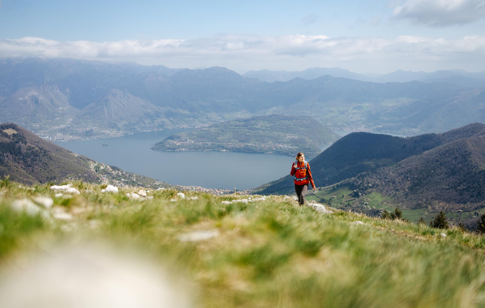
From the lake to the peaks - hiking on Lake Iseo

A journey through history and nature in Italy – Via Valeriana on foot
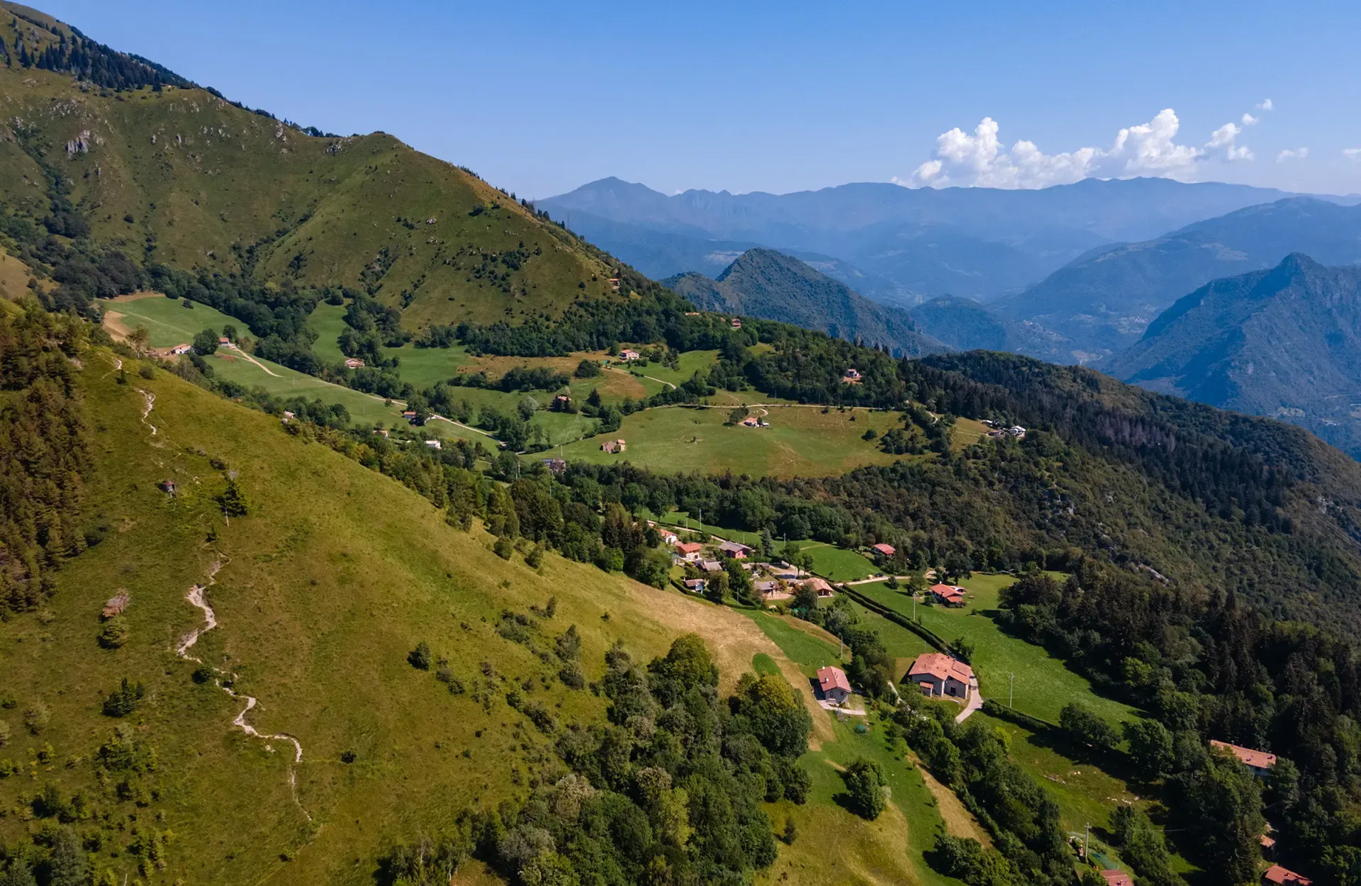
Montecampione – a gem among the valleys of Brescia
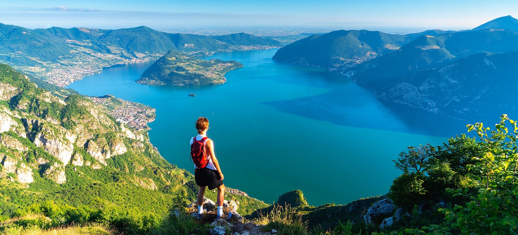
Where mountains meet the water – hike on Italy’s Lake Iseo
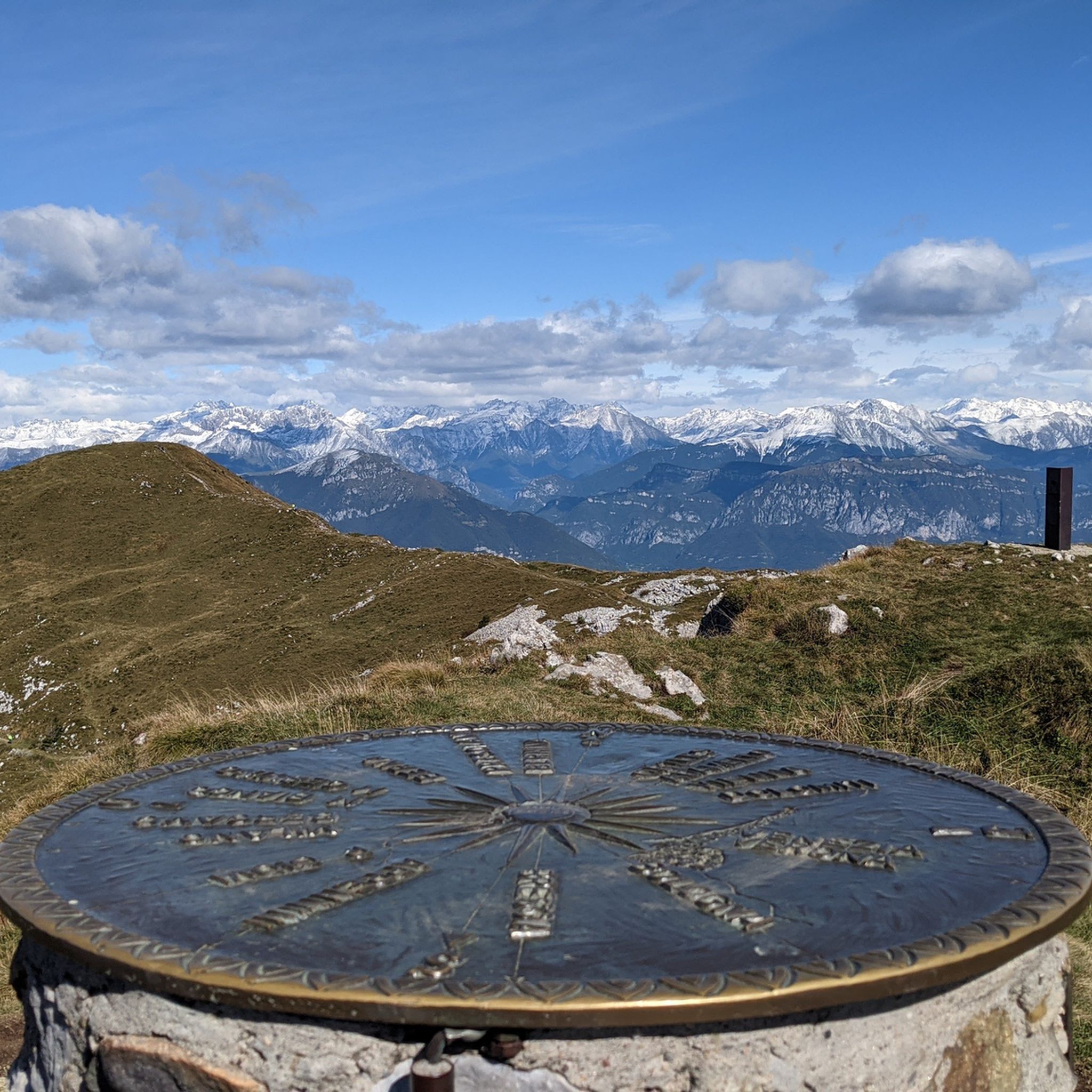
Hiking around Pisogne
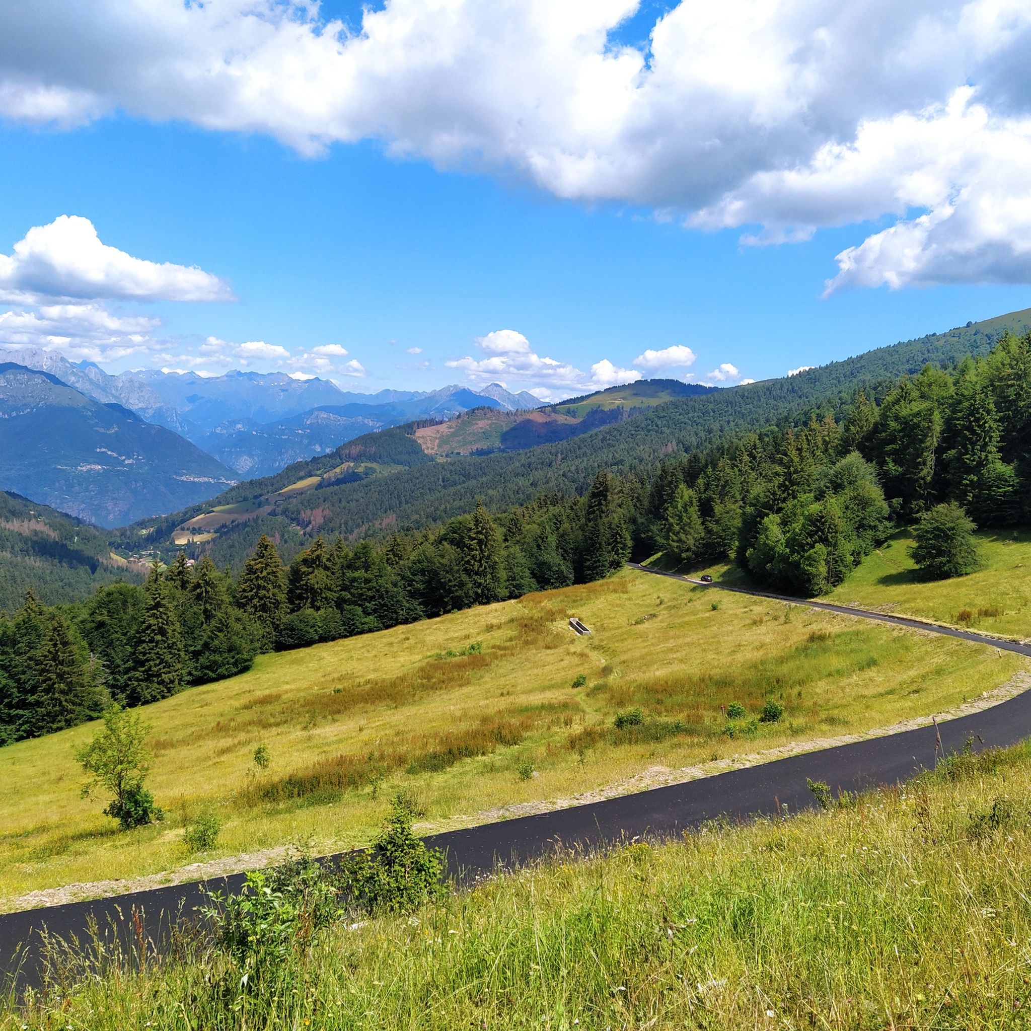
Road Cycling Routes around Pisogne
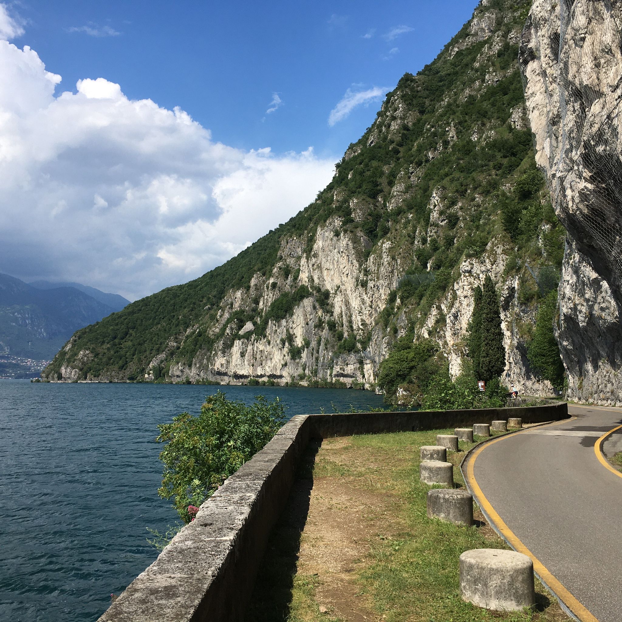
Cycling around Pisogne
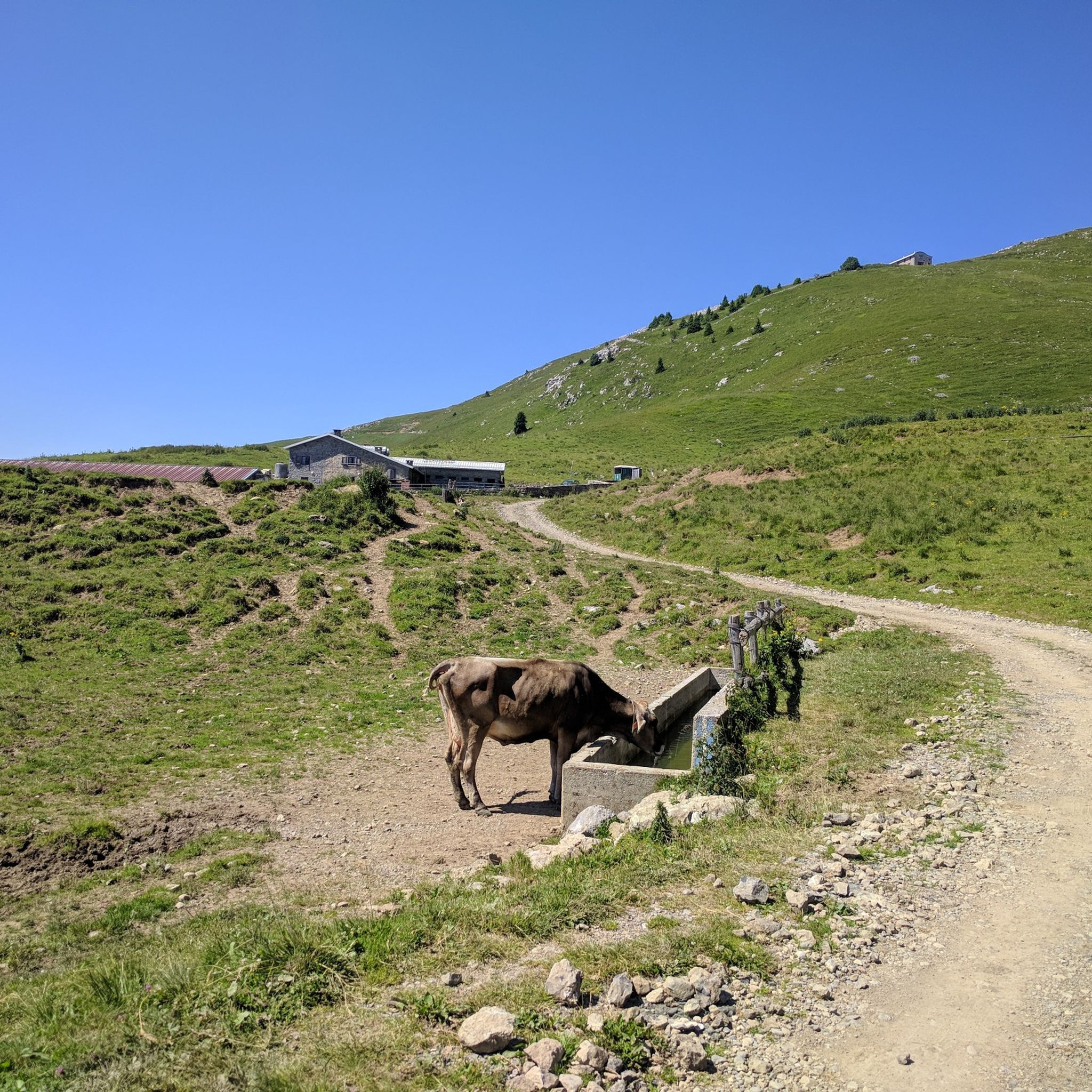
MTB Trails around Pisogne
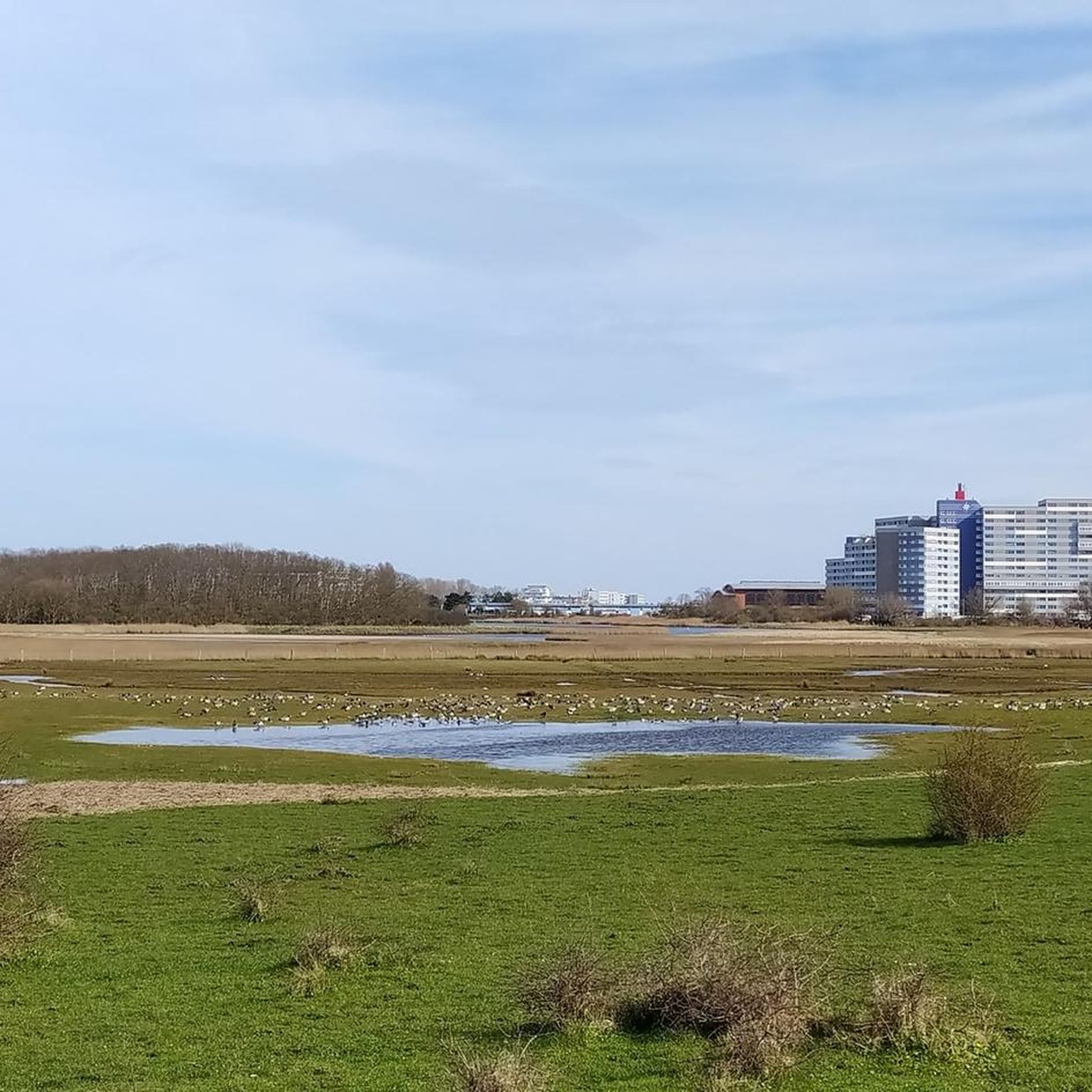
Gravel biking around Pisogne
Mountain Hikes around Pisogne
Other adventures around Pisogne


Tips from the Community

The Vello–Toline cycle-pedestrian path is a charming waterside route created on the disused track of the old coastal road on the Brescia side of Lake Iseo. Route characteristics Length: Approximately 4–5 km Elevation gain: Minimal, approx. +20 m (completely flat) Duration: 1 hour on foot or about 15–20 minutes by bicycle Difficulty: Very easy, suitable for everyone and families Surface: Asphalt, closed to vehicular traffic and about 3 meters wide
0
0

Always walk on the edge, some cyclists ride very fast and inconsiderately
0
0

beautiful views on this cycle path .
0
0
The Ciclovia dell'Oglio is an excellent cycle touring route of 282 kilometers that entirely follows the course of the Oglio river, connecting the mountains of Lombardy to the Po Valley. Considered the "most beautiful cycle path in Italy" (title received at the Italian Green Road Award 2019), it has a total negative elevation difference of almost 1,862 meters, starting from 1,883 meters at the Passo del Tonale to reach 21 meters of the Po at San Matteo delle Chiaviche. The route is 80% asphalt and 20% compact dirt road and is ideal for gravel, trekking, or e-bikes.
0
0
Monte Guglielmo (known in the Brescian dialect as Gölem or Culmine) is a mountain in the Brescian Prealps, 1,957 meters high. Located in Lombardy, it stretches along the mountain ridge that separates the middle Val Trompia from the basin of Lake Iseo and the lower Valle Camonica. It is the most iconic, frequented, and beloved peak by Brescian hikers.
1
0

Punta Caravina is an iconic ridge and viewpoint located at 1,850 meters above sea level in Lombardy, along the Monte Guglielmo massif (known in the Brescian dialect as Gölem or Gem). It is located in the province of Brescia, in the mountainous territory overlooking the upper Lake Iseo and the eastern shore of Val Camonica. The summit offers an extraordinary panorama stretching from the Orobie Bergamasche to the Adamello.
1
0

The pass height is located in the middle of the forest and is not very spectacular, but the ascent from Pisogne, especially via Monte di Pontasio, is toughly steep with up to 18% and quite challenging for sporty people. You can easily combine it with Colle di San Zeno and Colmi to make a nice loop.
0
0
Great for a refreshment in between - and also for cyclists, there is a speed limit here so that bathers can get to and from their parked bikes.
0
0
Frequently Asked Questions
How many running routes are available around Pisogne?
There are 10 dedicated running routes around Pisogne listed on komoot. These routes offer a variety of experiences, from lakeside paths to trails venturing into the surrounding hills.
Are there any easy or beginner-friendly running routes in Pisogne?
While komoot classifies most routes as moderate, several are suitable for beginners due to their relatively flat terrain and smooth surfaces. For instance, the Running loop from Pisogne is a 5.6-mile (9.1 km) path with minimal elevation gain, ideal for a relaxed run. Another good option is the Pisogne town centre – Valle Camonica Cycle Route loop from Pisogne, which follows a smooth cycle path along the Oglio River.
What kind of terrain can I expect on running trails in Pisogne?
Jogging around Pisogne offers diverse terrain. You'll find lakeside promenades with continuous views of Lake Iseo, river paths along the Oglio, and routes that gently ascend into the lower slopes of the hills. The landscape is characterized by its proximity to the lake, river valleys, and the foothills of the Alps, providing a mix of flat, scenic sections and more challenging trails with moderate elevation gains.
Are there any circular running routes in Pisogne?
Yes, many of the running routes around Pisogne are circular, allowing you to start and finish in the same location. Examples include the popular Pisogne Lakeside Promenade – Pisogne loop from Pisogne and the Barcotto Bridge on the Oglio River loop from Gratacasolo.
What are the best times of year to go running in Pisogne?
The spring and autumn months (April-May and September-October) are generally ideal for running in Pisogne, offering pleasant temperatures and beautiful scenery. Summer can be warm, especially in July and August, so early morning or late evening runs are recommended. Winter running is possible, but be prepared for cooler temperatures and potentially some rain or snow, particularly on higher trails.
Can I bring my dog on the running trails around Pisogne?
Many of the lakeside promenades and river paths around Pisogne are generally dog-friendly, provided your dog is kept on a leash and you clean up after them. For specific trail regulations, it's always best to check local signage or the detailed route descriptions on komoot for any restrictions.
Are there any running routes with good viewpoints or scenic attractions?
Absolutely. The Pisogne Lakeside Promenade – Pisogne loop from Pisogne offers continuous views of Lake Iseo. For more challenging runs with spectacular vistas, consider routes that venture towards higher ground, such as the Pisogne Lakeside Promenade – East Forepeak Corna Trentapassi loop from Pisogne, which provides stunning panoramic views, including those from the Corna Trentapassi Summit and View of Lake Iseo.
What do other runners say about the trails in Pisogne?
The running routes in Pisogne are highly rated by the komoot community, with an average score of 4.7 stars from over 100 reviews. Runners often praise the diverse scenery, the well-maintained paths, and the variety of options available for different fitness levels.
Are there any natural monuments or interesting landmarks near the running routes?
Yes, the region around Pisogne is rich in natural beauty and historical sites. While running, you might be close to attractions like the unique Pyramids of Zone, a fascinating geological formation. Other notable landmarks in the broader area include the Sanctuary of the Madonna della Ceriola and the Monument to the Redeemer on Monte Guglielmo, which can be seen from some higher vantage points.
Are there any running routes that follow the Oglio River?
Yes, the Pisogne town centre – Valle Camonica Cycle Route loop from Pisogne is a popular moderate path that follows the Valle Camonica Cycle Route, providing a smooth surface along the Oglio River. This offers a pleasant, relatively flat running experience with river views.
What is the longest running route available in Pisogne?
The longest running route listed is the Pisogne Lakeside Promenade – East Forepeak Corna Trentapassi loop from Pisogne, covering 10.7 miles (17.2 km). This route is classified as difficult due to its significant elevation gain, offering a challenging workout with rewarding views.
Most popular routes around Pisogne
Most popular attractions around Pisogne

Get inspired with the komoot mobile app


Explore more
Browse the best Running Trails & Routes in other regions.
