The best traffic-free bike rides around Pisogne
4.0
(52)
446
riders
15
rides
No traffic gravel bike trails around Pisogne are characterized by a diverse landscape where Lake Iseo meets the mountains. The region features a mix of lakeside paths, dirt roads, and gravel trails that traverse valleys and hills. This terrain provides varied opportunities for gravel biking, from routes along the lake shore to more challenging ascents into the surrounding mountainous areas. The area benefits from a combination of natural features, including the Oglio River valley and the nearby Val Palot, offering…
Last updated: October 3, 2026
4.5
(11)
92
riders
43.2km
03:57
1,820m
1,820m
Hard gravel ride. Very good fitness required. Mostly paved surfaces. Suitable for all skill levels.
3.3
(3)
28
riders
Hard gravel ride. Very good fitness required. Mostly paved surfaces. Suitable for all skill levels.

5.0
(2)
21
riders
49.2km
04:08
1,500m
1,500m
Hard gravel ride. Very good fitness required. Mostly paved surfaces. Suitable for all skill levels.
4.4
(7)
106
riders
85.3km
05:44
1,130m
1,130m
Hard gravel ride. Very good fitness required. Mostly paved surfaces. Suitable for all skill levels.
3.8
(4)
16
riders
Moderate gravel ride. Good fitness required. Mostly paved surfaces. Suitable for all skill levels.
Get access to more routes and recommendations from other explorers.
Already have an account?
Our route recommendations are based on thousands of hikes, rides, and runs completed by other people on komoot.
Start today with a free account
Your next adventure awaits.
Popular around Pisogne
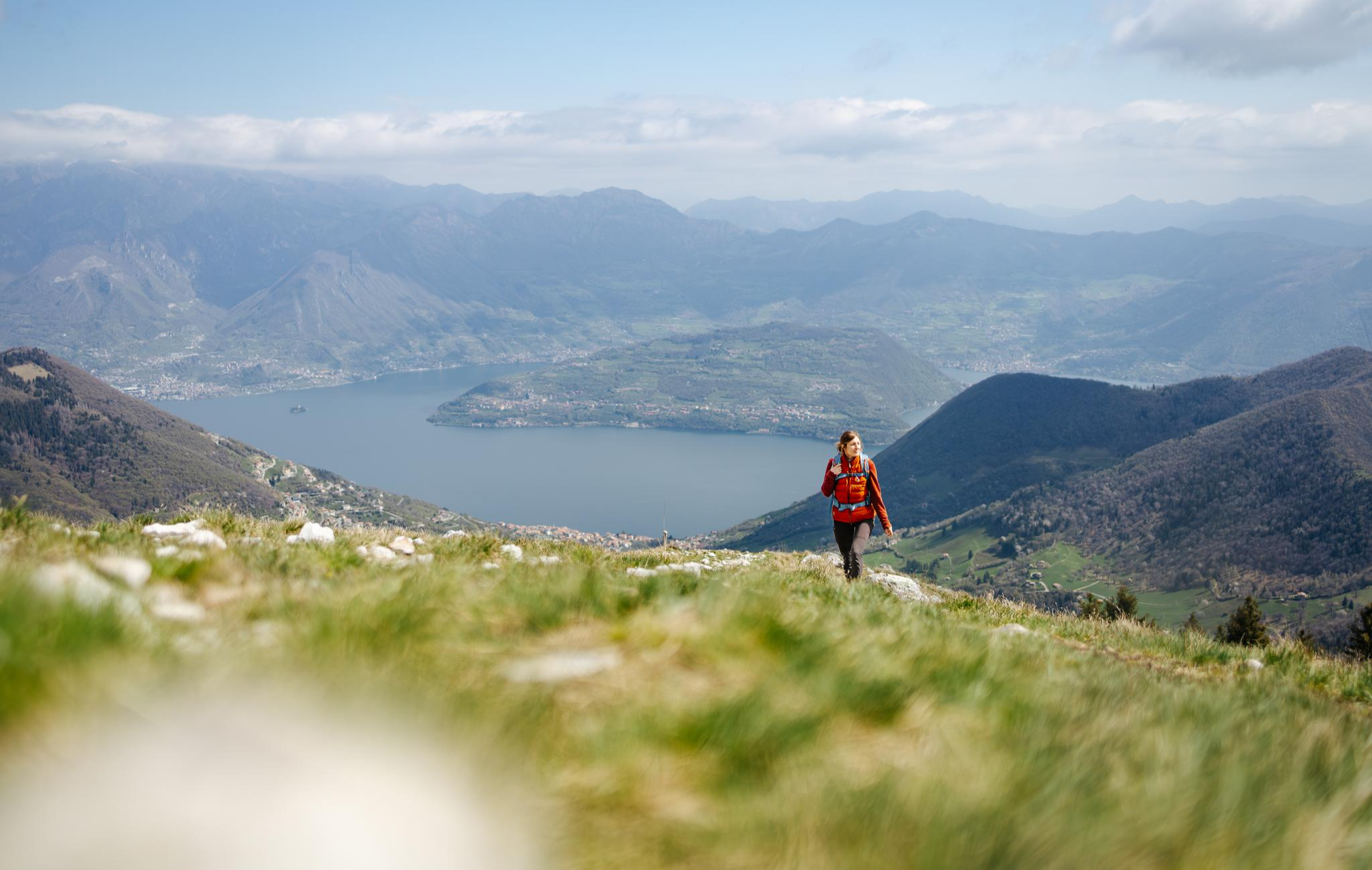
From the lake to the peaks - hiking on Lake Iseo

A journey through history and nature in Italy – Via Valeriana on foot
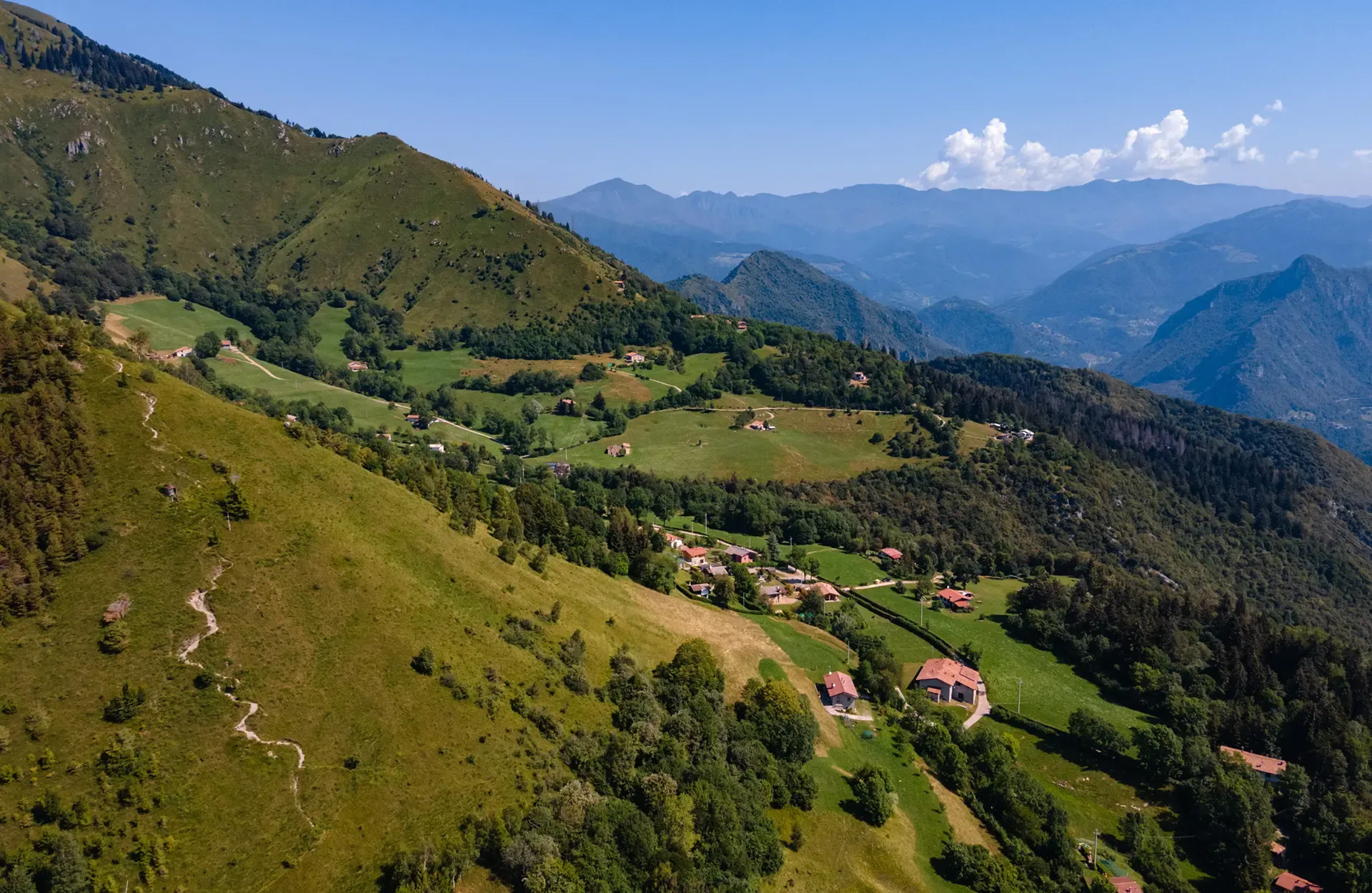
Montecampione – a gem among the valleys of Brescia
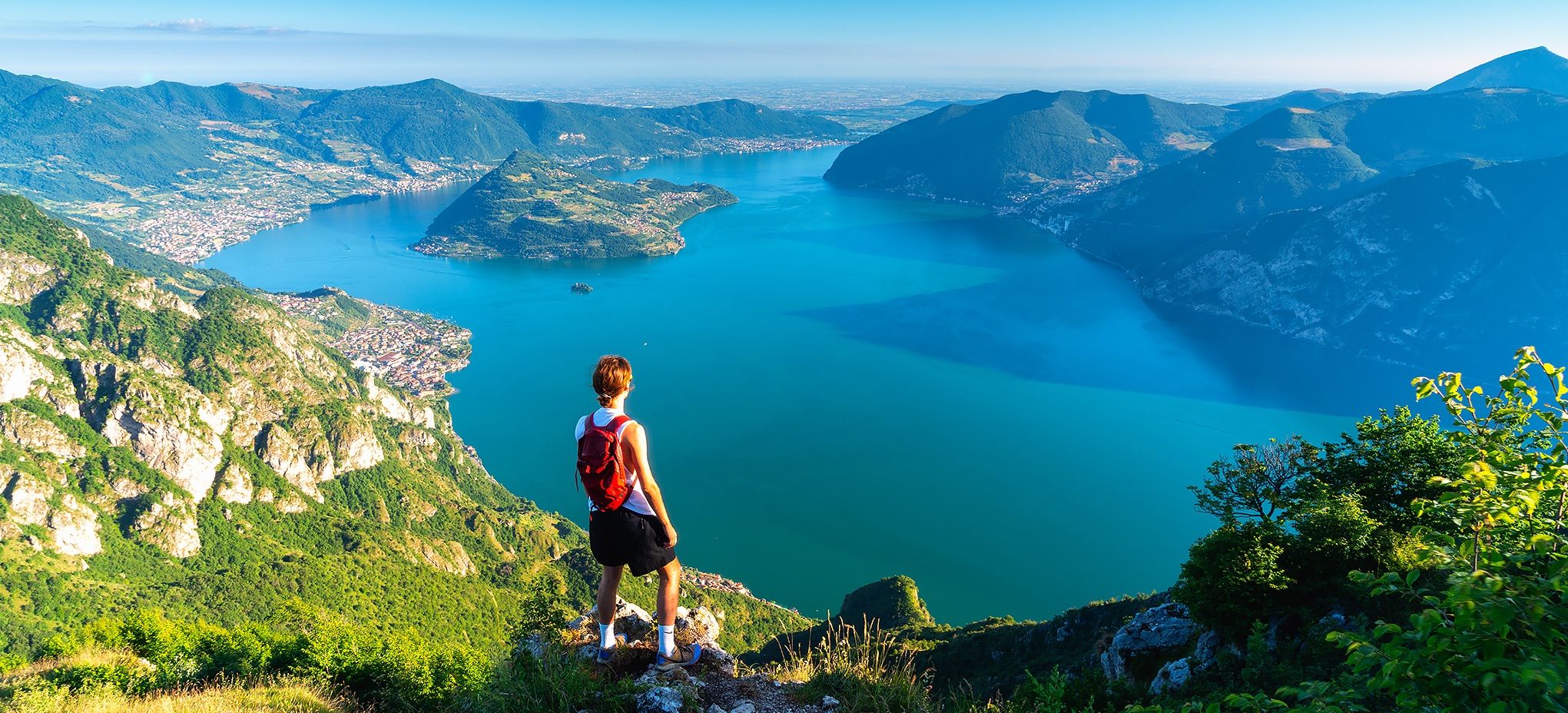
Where mountains meet the water – hike on Italy’s Lake Iseo
Traffic-free bike rides around Pisogne
Traffic-free bike rides around Pisogne
Other adventures around Pisogne


Tips from the Community

The Ciclovia dell'Oglio is an excellent cycle touring route of 282 kilometers that entirely follows the course of the Oglio river, connecting the mountains of Lombardy to the Po Valley. Considered the "most beautiful cycle path in Italy" (title received at the Italian Green Road Award 2019), it has a total negative elevation difference of almost 1,862 meters, starting from 1,883 meters at the Passo del Tonale to reach 21 meters of the Po at San Matteo delle Chiaviche. The route is 80% asphalt and 20% compact dirt road and is ideal for gravel, trekking, or e-bikes.
0
0

By train to Edolo and then by bike up to Ponte di legno. The next day, departure in four stages to Mantua. Beautiful cycle path. Recommended
0
0

Very nice, steady climb, great fun both up and down - at the top you can treat yourself to a well-deserved refreshment at the bar at Chiesa di San Giorgio.
0
0
Beautiful view of the magnificent Earth Pyramids of Zone.
0
0
Very remarkable works of art of nature - the path is in a protected area and must not be left.
0
0
The Pyramids of Zone are spectacular, imposing spires of earth located in Zone, in the province of Brescia, a short distance from the northeastern shore of Lake Iseo. These extraordinary geological formations, also known as "fairy chimneys", reach heights of up to 30 meters and are located within a protected regional nature reserve
0
0

viewpoint before Monte Sparavera
0
0

Convenient starting point for reaching various places including Monte Sparavera. The parking lot can accommodate about thirty cars, and along the road about 7/8 more. Remember to get the scratch-off parking permit, available for purchase in the municipalities of Peia or Ranzanico (it is not the same one needed for M.Farno).
0
0
Frequently Asked Questions
How many traffic-free gravel bike trails are available around Pisogne?
There are 13 dedicated traffic-free gravel bike trails around Pisogne featured in this guide. These routes offer a mix of moderate and challenging rides, allowing you to explore the beautiful landscapes of Lake Iseo and its surroundings without vehicle interference.
Are there any beginner-friendly traffic-free gravel routes near Pisogne?
While many routes in this guide are rated as difficult, the region around Pisogne does offer easier options for traffic-free cycling. The Old Road along Lake Iseo – Vello–Toline Cycle Path loop, though long at over 90 km, incorporates the very beginner-friendly Vello-Toline cycle-pedestrian path, which is known for its car-free environment and stunning lake views. This section is ideal for those new to gravel biking or looking for a relaxed ride.
What kind of views can I expect on these traffic-free gravel trails?
The traffic-free gravel trails around Pisogne offer spectacular views, primarily of Lake Iseo and the surrounding mountains. Routes often provide panoramic vistas, especially those that climb into the hills. You'll also encounter charming villages, lush forests, and the dramatic backdrop of Val Camonica. For example, the View of Lake Iseo – Monticelli loop from Piangaiano offers extensive lake views.
Are there any challenging traffic-free gravel routes for experienced riders?
Absolutely. For experienced gravel bikers seeking a challenge, Pisogne offers several difficult traffic-free routes. The Malga Guglielmo di Sopra – Ascent to Monte Guglielmo loop from Sale Marasino is a demanding 41.7 km route with over 1700 meters of elevation gain, providing a significant workout and rewarding views. Another challenging option is the Val Palot – Val Palot loop from Pisogne, which also features substantial climbing.
What is the best time of year to go gravel biking around Pisogne?
The best time for gravel biking around Pisogne is typically from spring through autumn (April to October). During these months, the weather is generally mild and pleasant, with less chance of snow or extreme heat. Spring brings blooming landscapes, while autumn offers beautiful foliage. Summer can be warm, but lakeside routes provide refreshing breezes. Winter riding is possible but requires checking weather conditions for snow or ice, especially at higher elevations.
Can I find circular traffic-free gravel routes in the area?
Yes, many of the traffic-free gravel routes around Pisogne are designed as loops, allowing you to start and end at the same point. For instance, the Montecchio Roman Bridge – Montecchio Roman Bridge loop from Darfo-Corna is a moderate 38.4 km circular route that explores the Val Camonica area. The Malga Guglielmo di Sopra – Ascent to Monte Guglielmo loop from Sale Marasino is another challenging loop option.
Are there any waterfalls or other natural attractions along these routes?
While the routes themselves focus on traffic-free cycling, the region around Pisogne is rich in natural attractions. You can find several beautiful waterfalls nearby, such as the Bagnadore Stream Waterfall or the Zu Waterfall. The unique Valle di Inzino gorge is also a notable natural feature. These can be explored as detours or combined with your gravel biking adventures.
What do other gravel bikers say about the traffic-free trails in Pisogne?
The traffic-free gravel trails around Pisogne are highly regarded by the komoot community, with an average rating of 4.57 out of 5 stars from 46 reviews. Users frequently praise the stunning lake views, the peaceful car-free environments, and the diverse terrain that caters to both leisurely rides and challenging ascents. The well-maintained paths and the natural beauty of the region are often highlighted as key attractions.
Are there options for parking near the start of these quiet gravel trails?
Yes, for many of the quiet gravel trails around Pisogne, you'll find parking options in or near the starting points in the towns and villages. Pisogne itself has various parking areas, and smaller towns like Sale Marasino or Darfo-Corna, which serve as starting points for some routes, also offer facilities. It's always advisable to check local parking regulations and availability before your ride, especially during peak season.
Can I bring my dog on the traffic-free gravel biking trails?
Many outdoor trails in the Pisogne region, including some gravel paths, are dog-friendly, especially if your dog is well-behaved and kept on a leash. However, specific regulations can vary, particularly in protected natural areas or on private land. It's always best to check individual route descriptions or local signage for any restrictions. Ensure your dog is comfortable with the distance and terrain, and always carry water for both of you.
Are there any historical or cultural points of interest along the traffic-free routes?
While the focus is on natural beauty, the region around Pisogne is rich in history. Pisogne itself boasts a charming historical center with ancient pastel-colored palaces and the Church of Santa Maria della Neve, famous for its Romanino frescoes. Some routes might pass through or near historical villages. For example, the Montecchio Roman Bridge – Montecchio Roman Bridge loop hints at historical elements in its name, offering a blend of nature and heritage.
Most popular attractions around Pisogne

Get inspired with the komoot mobile app


Explore more
Browse the best Gravel rides in other regions.
