The best gravel rides around Pisogne
4.0
(52)
446
riders
31
rides
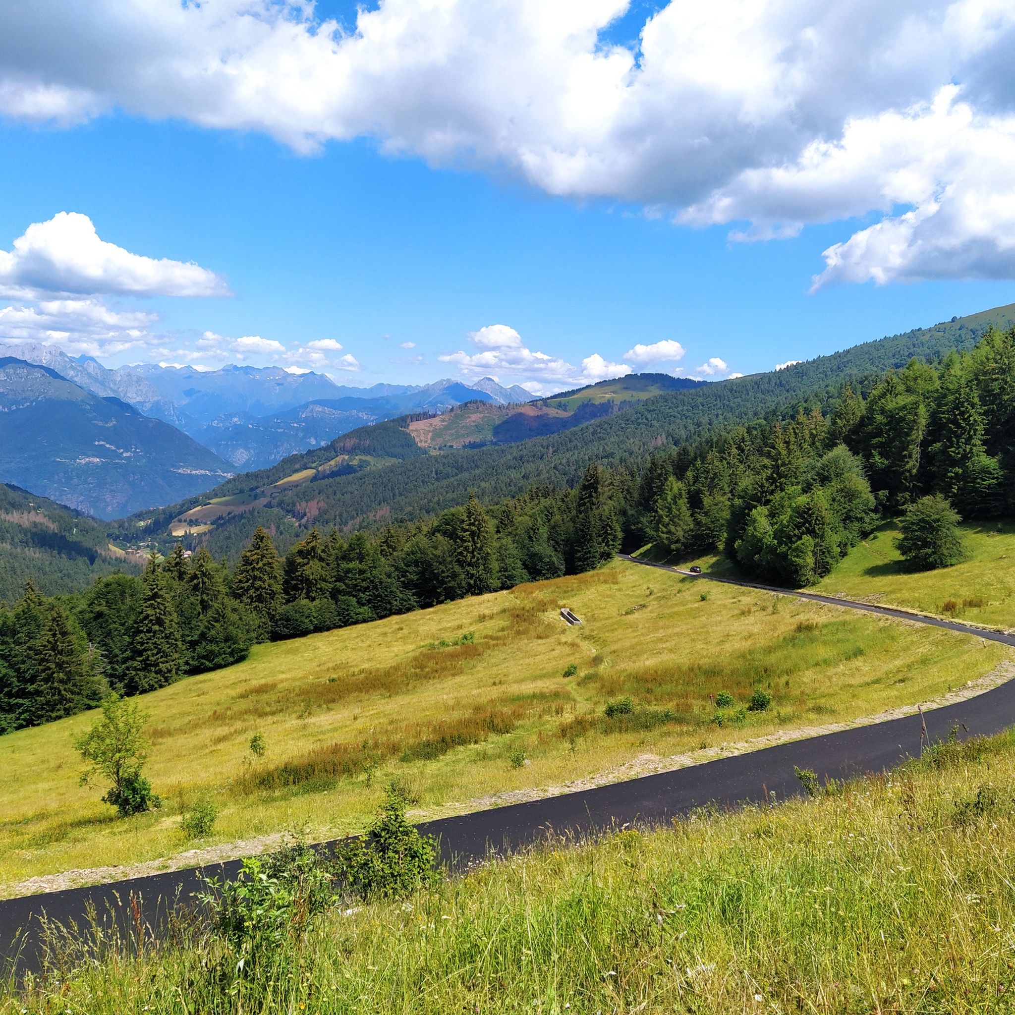
Gravel biking around Pisogne offers a diverse landscape characterized by the shores of Lake Iseo, rolling hills, and more challenging mountainous terrain leading to passes like Vivione. The region features a mix of paved and unpaved roads, providing varied surfaces for gravel cyclists. Significant elevation changes are common, with routes often including climbs and descents through forested areas and open vistas.
Best gravel bike trails around Pisogne
- The most popular gravel bike trail is Montecchio Roman Bridge – Montecchio Roman…
Last updated: September 28, 2026
8
riders
53.6km
04:22
1,750m
1,750m
Hard gravel ride. Very good fitness required. You may need to push your bike for some segments of this route.
3.3
(3)
28
riders
Hard gravel ride. Very good fitness required. Mostly paved surfaces. Suitable for all skill levels.

5.0
(2)
21
riders
49.2km
04:08
1,500m
1,500m
Hard gravel ride. Very good fitness required. Mostly paved surfaces. Suitable for all skill levels.
5.0
(5)
22
riders
63.0km
04:42
1,570m
1,570m
Hard gravel ride. Very good fitness required. Mostly paved surfaces. Suitable for all skill levels.
4.3
(3)
14
riders
38.1km
03:00
1,160m
1,160m
Hard gravel ride. Very good fitness required. Mostly paved surfaces. Suitable for all skill levels.
Get access to more routes and recommendations from other explorers.
Already have an account?
Our route recommendations are based on thousands of hikes, rides, and runs completed by other people on komoot.
Start today with a free account
Your next adventure awaits.
Popular around Pisogne
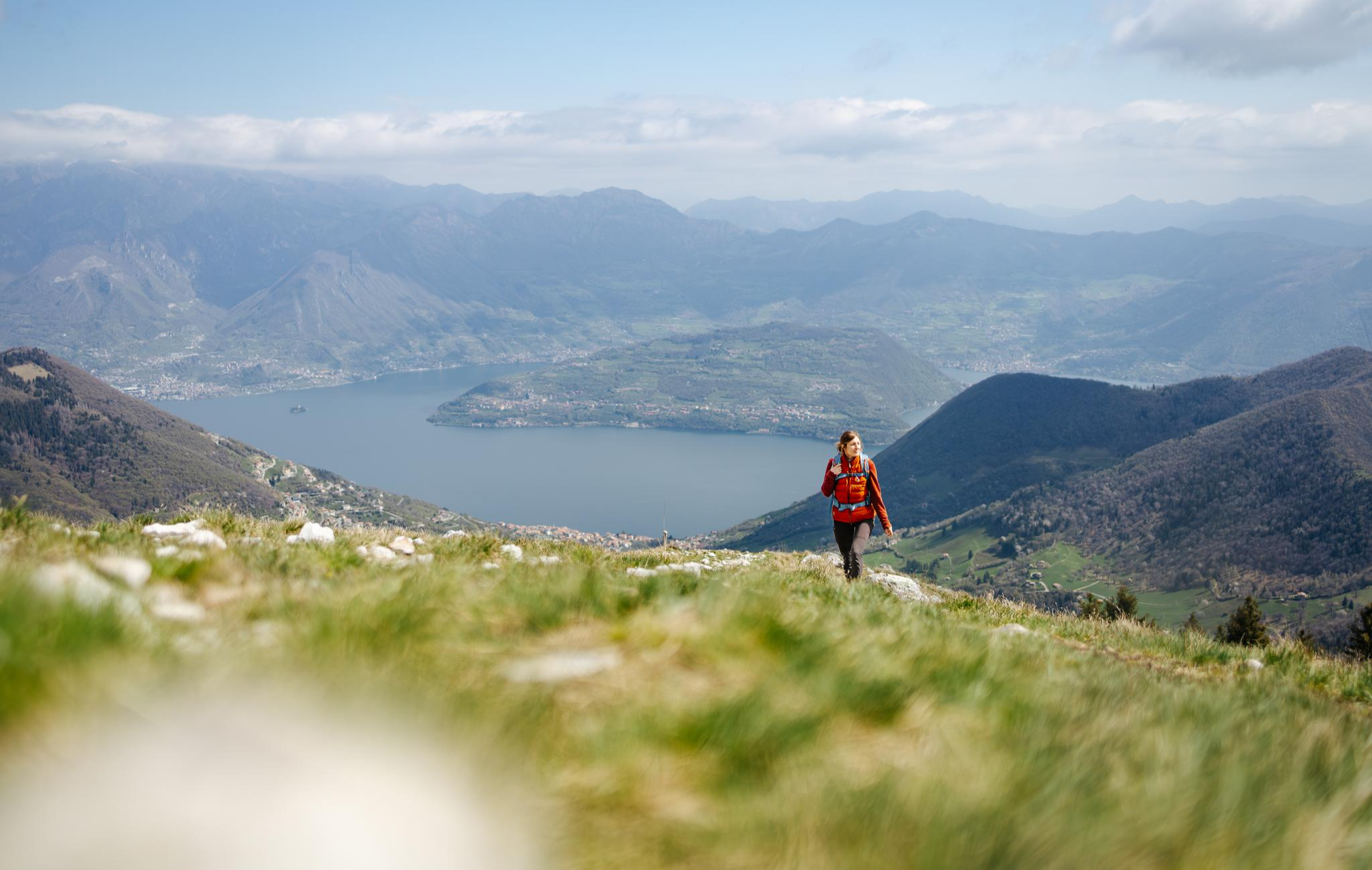
From the lake to the peaks - hiking on Lake Iseo

A journey through history and nature in Italy – Via Valeriana on foot
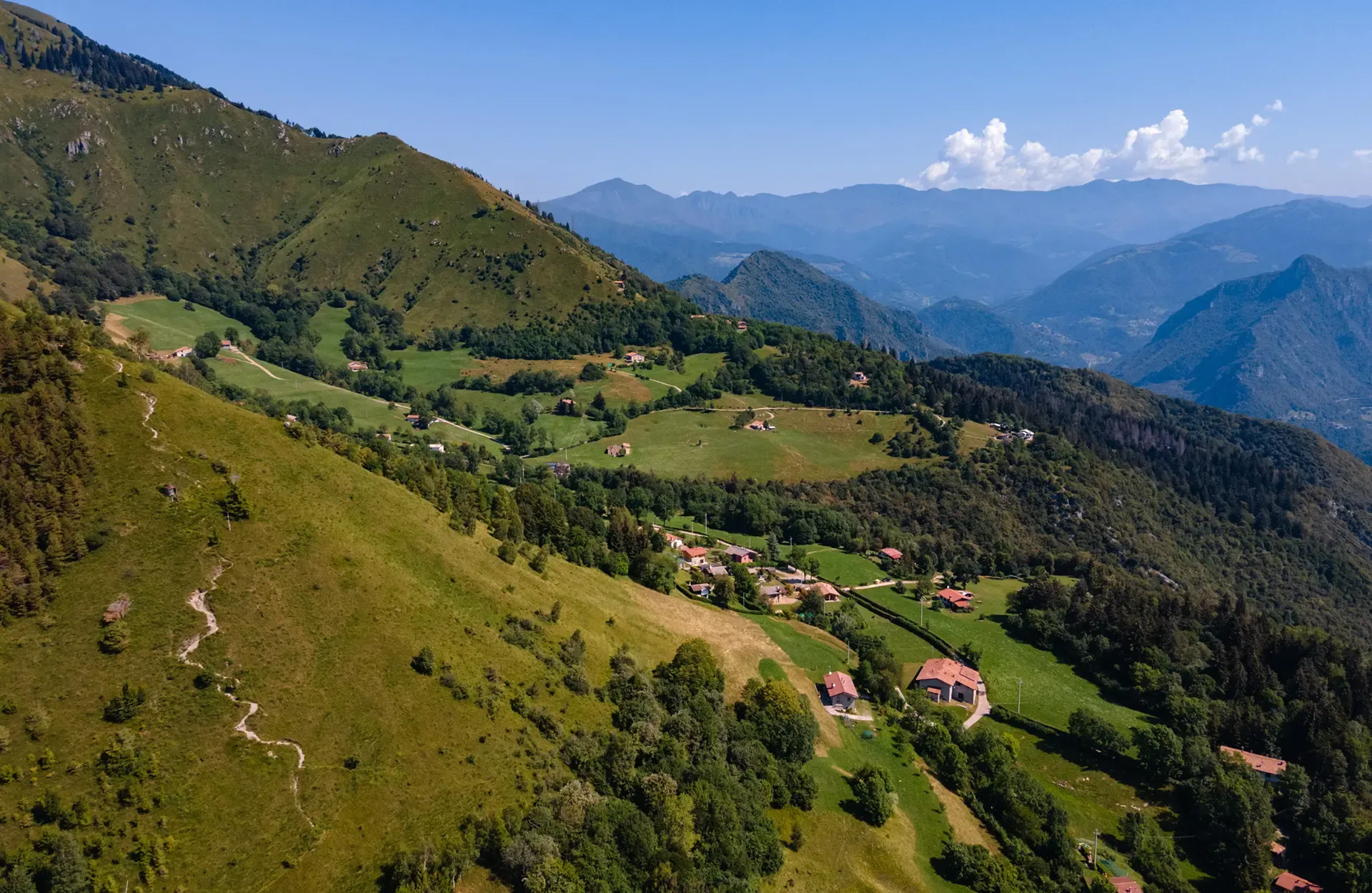
Montecampione – a gem among the valleys of Brescia
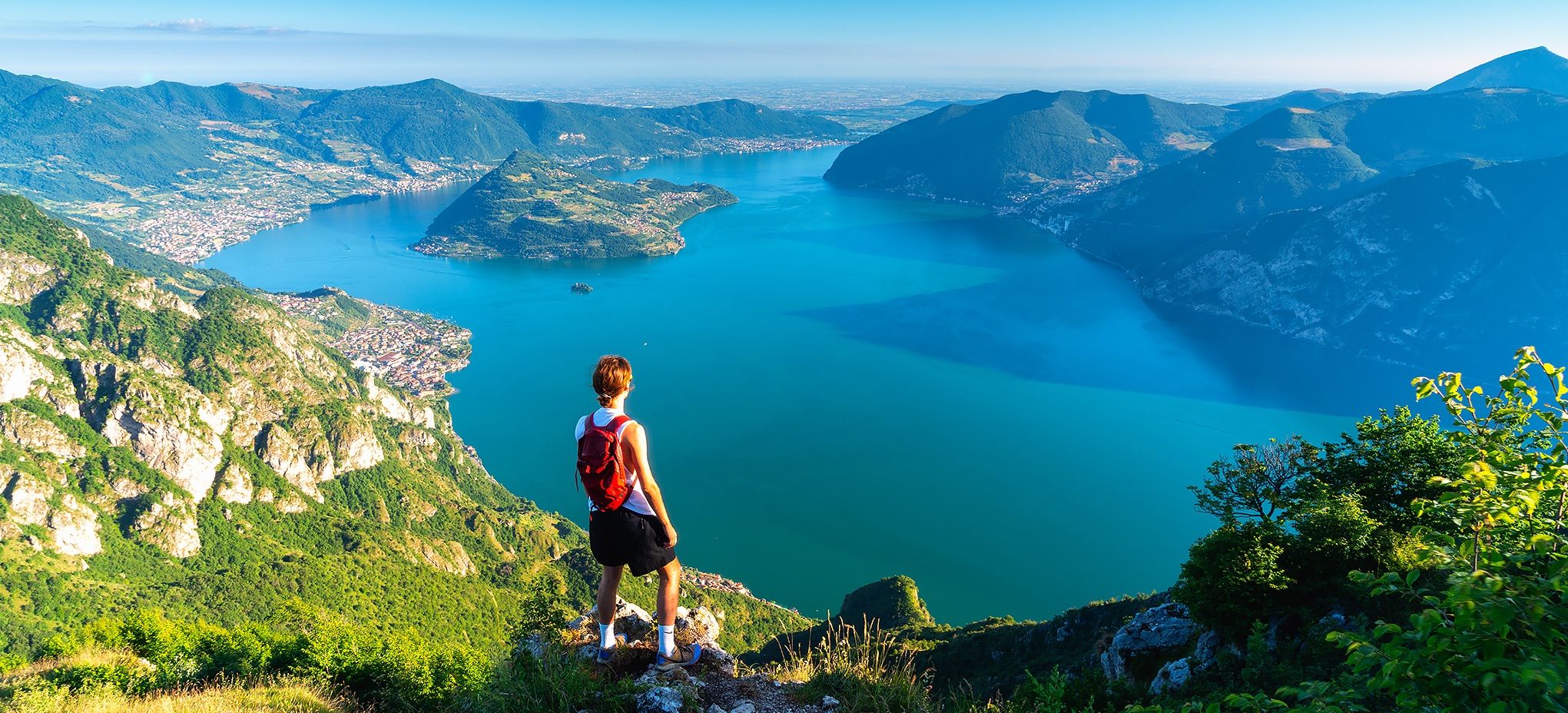
Where mountains meet the water – hike on Italy’s Lake Iseo
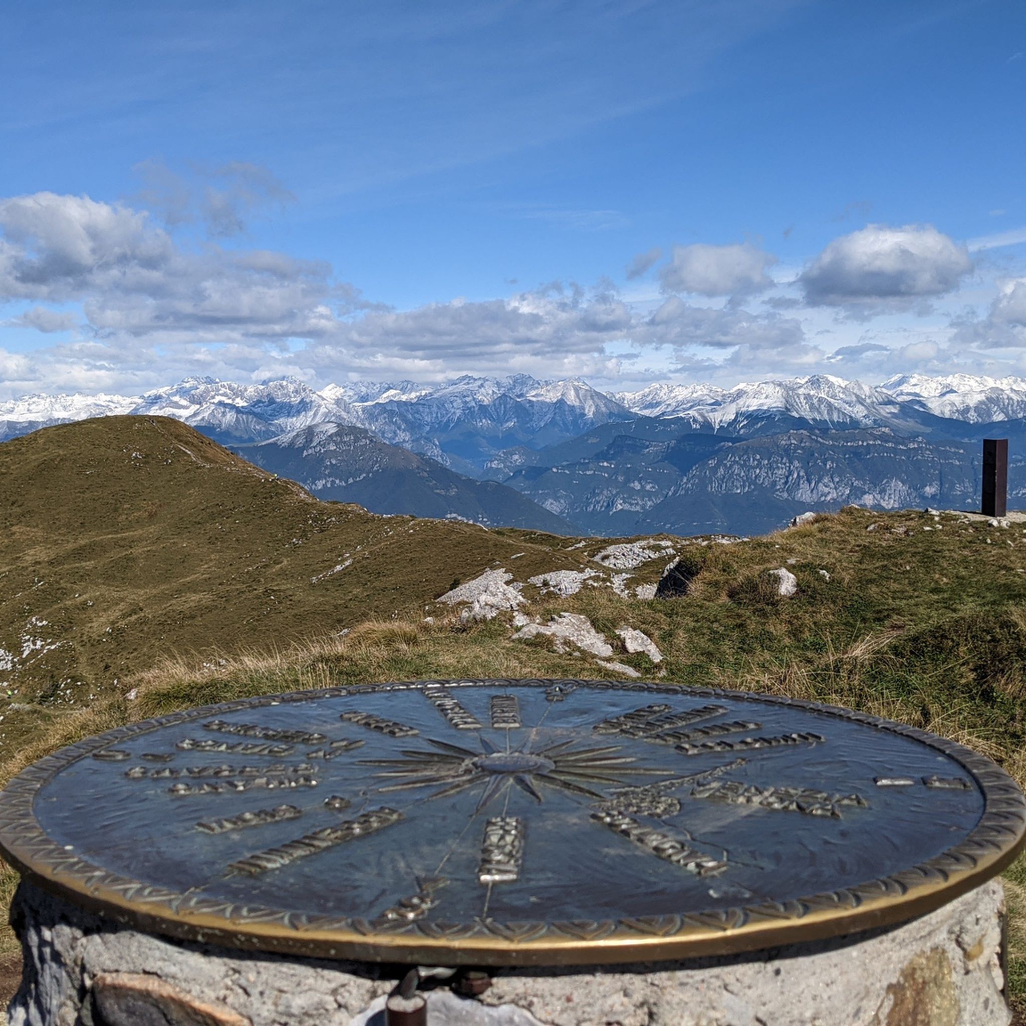
Hiking around Pisogne
Road Cycling Routes around Pisogne
Cycling around Pisogne
MTB Trails around Pisogne
Running Trails around Pisogne
Mountain Hikes around Pisogne
Other adventures around Pisogne


Tips from the Community

demanding and satisfying, almost at the top there is the only fountain
0
0
nice spot to catch your breath on the climb, too bad there isn't a fountain to refill your water bottle
0
0

This is the Campomelle lake
0
0

Very nice, steady climb, great fun both up and down - at the top you can treat yourself to a well-deserved refreshment at the bar at Chiesa di San Giorgio.
0
0
Beautiful view of the magnificent Earth Pyramids of Zone.
0
0
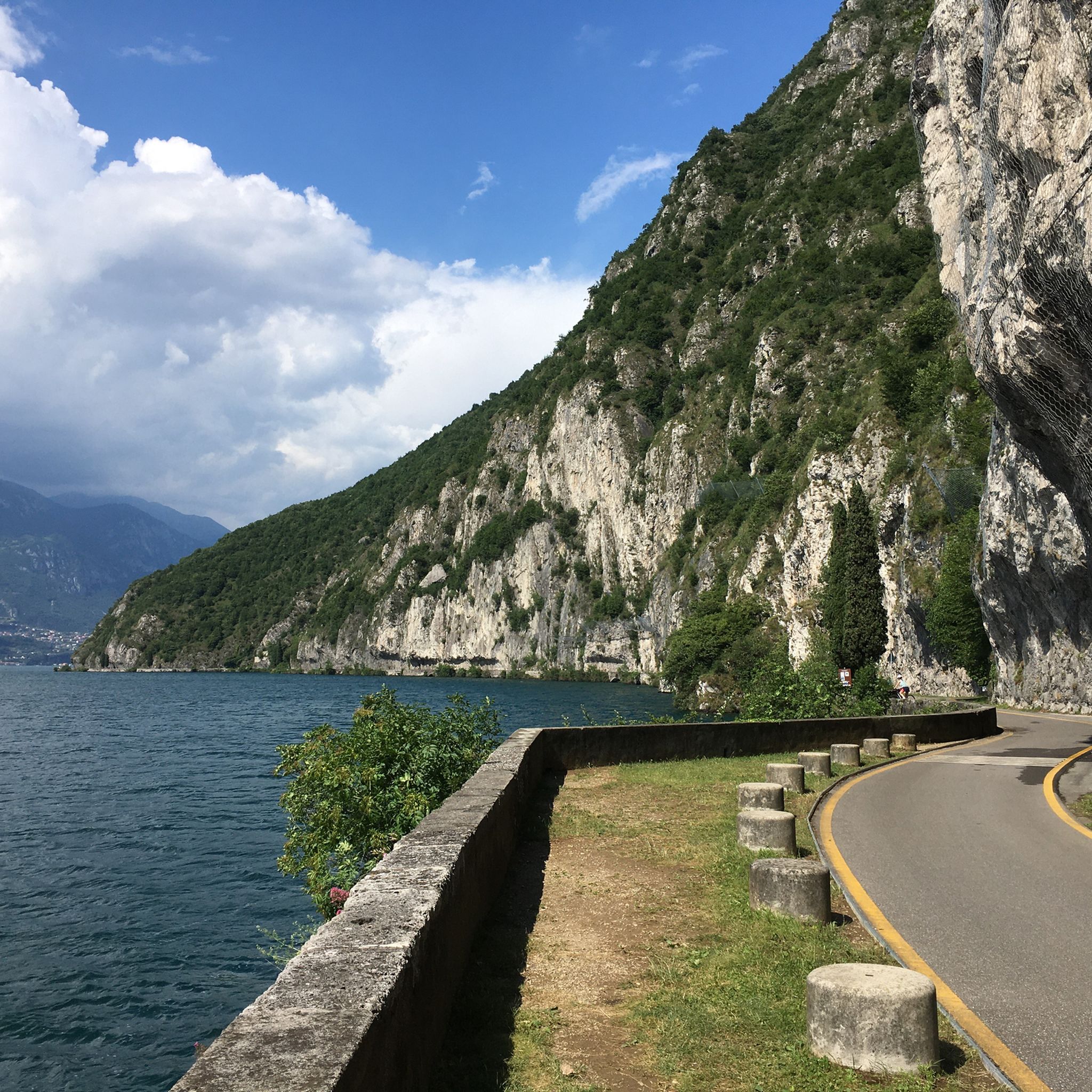
A fantastic section on Lake Iseo - the old road is now reserved exclusively for cyclists and pedestrians - you can't ride any more beautifully!
0
0

viewpoint before Monte Sparavera
0
0

Convenient starting point for reaching various places including Monte Sparavera. The parking lot can accommodate about thirty cars, and along the road about 7/8 more. Remember to get the scratch-off parking permit, available for purchase in the municipalities of Peia or Ranzanico (it is not the same one needed for M.Farno).
0
0
Frequently Asked Questions
How many gravel bike trails can I explore around Pisogne?
Pisogne offers a wide variety of gravel biking experiences, with over 45 routes available. These range from moderate loops to challenging, long-distance trails, ensuring options for different skill levels.
Are there any easy or family-friendly gravel bike routes in Pisogne?
While many routes in Pisogne feature significant elevation changes, there are options suitable for those seeking a less strenuous ride. The region's trails are generally rated moderate to difficult, but you can find routes that offer a more relaxed experience by focusing on the flatter sections along Lake Iseo. For example, the Montecchio Roman Bridge – Montecchio Roman Bridge loop from Piancamuno - Gratacasolo is a moderate 28.7-mile (46.1 km) trail that could be a good starting point.
What kind of terrain and elevation can I expect on gravel bike trails near Pisogne?
Gravel biking around Pisogne is characterized by a diverse landscape. You'll encounter routes along the shores of Lake Iseo, rolling hills, and more challenging mountainous terrain leading to passes like Vivione. Significant elevation changes are common, with routes often including climbs and descents through forested areas and open vistas. For instance, the Vivione Pass – Lake Moro loop from Pisogne involves over 2,600 meters of elevation gain.
What are some scenic viewpoints or landmarks I can see along the gravel bike routes?
The region around Pisogne is rich in natural beauty and historical sites. Many routes offer stunning views of Lake Iseo. You can also pass by the historic Roman Bridge on routes like the Montecchio Roman Bridge – Montecchio Roman Bridge loop from Pisogne. Other notable highlights in the area include the Vello–Toline Cycle Path and the Bögn Scenic Road (Lake Iseo), offering picturesque lakeside cycling.
Are there any circular gravel bike routes available in Pisogne?
Yes, many of the gravel bike routes around Pisogne are designed as loops, allowing you to start and end in the same location. Popular circular options include the challenging Montecchio Roman Bridge – Montecchio Roman Bridge loop from Pisogne and the extensive Vivione Pass – Lake Moro loop from Pisogne.
What is the best season for gravel biking in Pisogne?
The best time for gravel biking in Pisogne is typically from spring through autumn (April to October). During these months, the weather is generally mild and pleasant, making for ideal riding conditions. Summer can be warm, especially at lower elevations, while late autumn offers beautiful foliage. Winter riding can be challenging due to colder temperatures and potential snow in higher mountain passes.
Are there any advanced or challenging gravel bike trails for experienced riders?
Absolutely. Pisogne is well-suited for experienced gravel bikers looking for a challenge. Many routes feature significant distances and considerable elevation gain. For instance, the Vivione Pass – Lake Moro loop from Pisogne is a difficult 79.7-mile (128.2 km) path that includes a mountain pass and demanding climbs, offering a truly rewarding experience.
What do other gravel bikers say about the trails in Pisogne?
The gravel bike routes in Pisogne are highly regarded by the komoot community, with an average rating of 4.6 stars from over 70 reviews. Riders often praise the diverse scenery, from lake views to challenging mountain passes, and the well-maintained mix of paved and unpaved surfaces.
Are there any hidden gem gravel trails or less-known routes in the Pisogne area?
While specific 'hidden gems' are often discovered through local exploration, the region's extensive network of trails means there are always less-trafficked paths to find. Exploring routes that venture away from the immediate lakeside, into the smaller valleys and hills, can reveal quieter, equally scenic options. Look for routes that pass through areas like Valle di Inzino or the Gola del Tinazzo for a more secluded experience.
Can I find gravel bike routes with cafe stops or places to refuel along the way?
Yes, many routes, especially those passing through or near towns and villages along Lake Iseo or in the valleys, offer opportunities for cafe stops and places to refuel. While specific cafe locations aren't listed for every route, planning your ride to pass through settlements like Lovere or Riva di Solto will provide options for refreshments and meals. The View of Lake Iseo from Lovere – Lovere Marina loop from Rondinera, for example, starts near Lovere, offering amenities.
What kind of clothing and gear should I consider for gravel biking in Pisogne?
Given the varied terrain and potential for significant elevation changes, layered clothing is recommended to adapt to temperature fluctuations. Essential gear includes a helmet, appropriate cycling shoes, gloves, and a repair kit. For longer rides, consider carrying enough water and snacks, as some mountain sections may be remote. A GPS device or a loaded komoot app is highly advisable for navigation on the diverse trail network.
Are there specific parking areas for gravel bikers in Pisogne?
Pisogne and the surrounding towns offer various public parking options. In Pisogne itself, you can often find parking near the lakefront or in designated town parking lots, which are convenient starting points for many routes. For routes starting in other villages, look for municipal parking areas. Always check local signage for parking regulations and fees.
Most popular routes around Pisogne
Most popular attractions around Pisogne

Get inspired with the komoot mobile app


Explore more
Browse the best Gravel rides in other regions.
