The best running trails around Amaro
4.4
(49)
2,799
runners
164
runs
Jogging routes around Amaro are set within the varied terrain of Friuli Venezia Giulia, characterized by green mountains, dense forests, and open meadows. The region offers diverse environments for runners, with views of the Fella and Tagliamento valleys from higher elevations. Proximity to the Carnic Alps provides opportunities for mountain running, while the nearby Lake Cavazzo features popular running routes.
Best jogging routes around Amaro
- The most popular jogging route is Running loop from Portis, a 2.4 miles (3.9…
Last updated: August 14, 2026
8
runners
Hard run. Very good fitness required. Mostly paved surfaces. Suitable for all skill levels.
12
runners
9.70km
01:03
170m
170m
Moderate run. Good fitness required. Mostly paved surfaces. Suitable for all skill levels.

Sign up for free
7
runners
7.56km
00:58
260m
260m
Moderate run. Good fitness required. Mostly paved surfaces. Suitable for all skill levels.
9
runners
7.61km
00:50
140m
140m
Moderate run. Good fitness required. Mostly paved surfaces. Suitable for all skill levels.
9
runners
24.8km
02:42
390m
390m
Hard run. Very good fitness required. Mostly paved surfaces. Suitable for all skill levels.
Get access to more routes and recommendations from other explorers.
Sign up for free
Already have an account?
Our route recommendations are based on thousands of hikes, rides, and runs completed by other people on komoot.
Start today with a free account
Your next adventure awaits.
Login or Signup

Tips from the Community

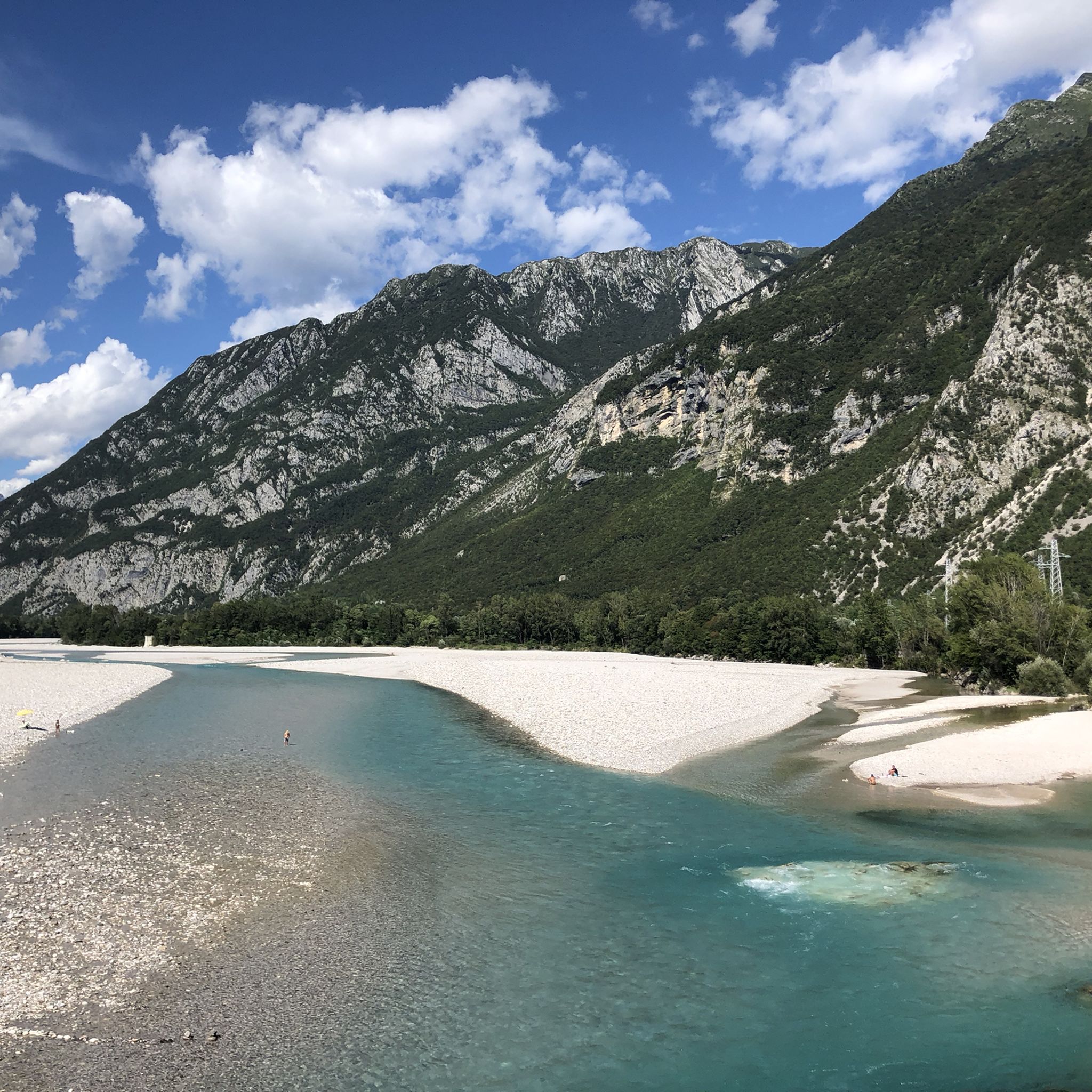
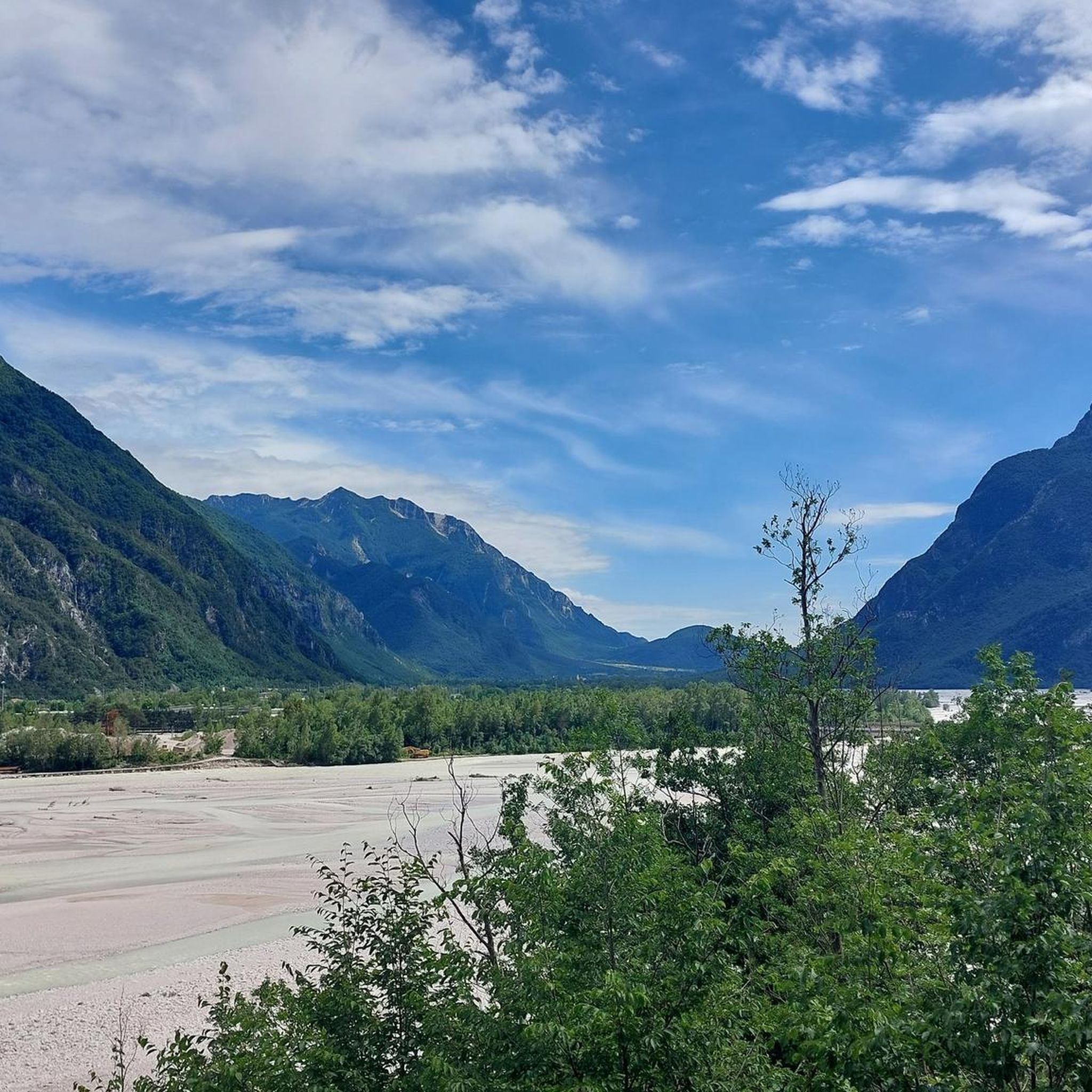
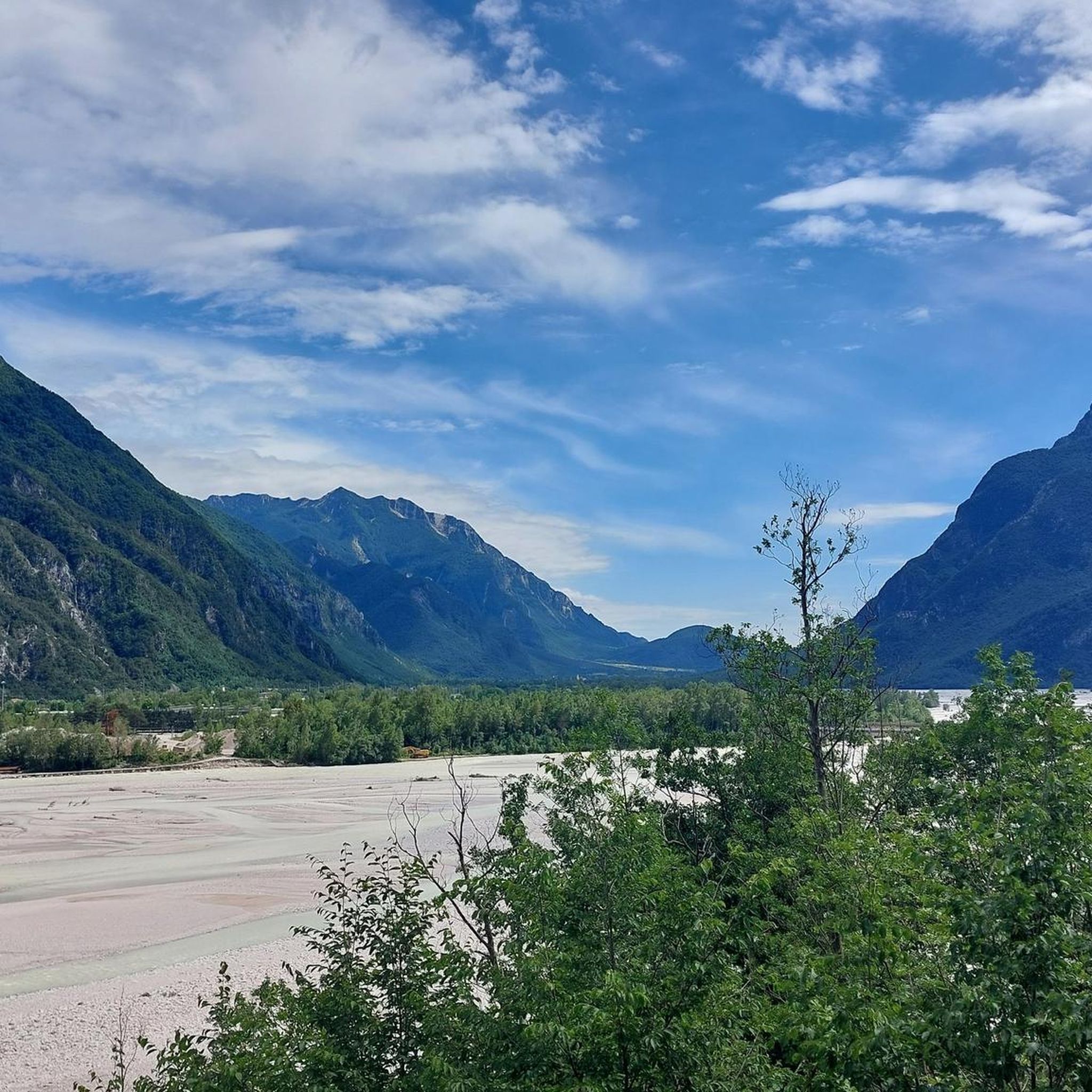
At this position, there are beautiful views of the Resia river and beautiful panoramic and distant views into the Resia valley.
0
0

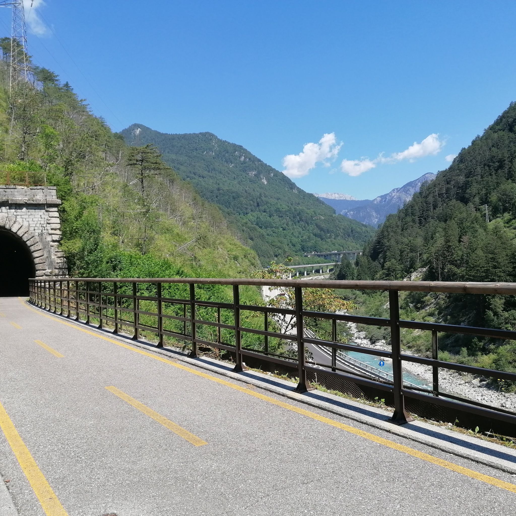
Super cycle path, highly recommended
3
0

You cycle along this railway bridge, all made of iron... exciting!
0
0

This is a beautiful panoramic point overlooking Moggio Udinese and the Fella River.
0
0

A brilliant cycle path – although the tunnels can sometimes be quite damp, foggy, and chilly in the mornings. A welcome change on hot summer days like my tour at the end of June 2025!
0
0

A really nice and very characteristic place!
0
0
A very pleasant village with a good location near the cycle path, Viale Udine, and the A23 motorway. At the entrance to the village, there are several restaurants and a top-notch ice cream parlor, which, in my opinion, offers the best ice cream quality in Friuli. There are also plenty of parking spaces at the entrance, as well as a very cooling pool. Resiutta itself is a typical Italian village with important restaurants and service providers. For those interested in culture, a walk across Calvary Hill or a visit to the ice tunnel is recommended.
2
0

Here they have created a beautiful bar for cyclists.
21
0
Frequently Asked Questions
How many running routes are available in Amaro?
Amaro offers a wide selection of running routes, with over 120 trails mapped on komoot. This includes a diverse mix of easy, moderate, and difficult options to suit various fitness levels and preferences.
What kind of terrain can I expect on the running trails around Amaro?
The running trails around Amaro traverse varied terrain, from gentle gradients suitable for easy runs to more challenging paths with elevation gain through forested areas. You'll find yourself amidst green mountains, dense forests, and expansive open meadows, with opportunities for mountain running in the Carnic Alps and scenic views of the Fella and Tagliamento valleys.
Are there running routes suitable for beginners or easy runs?
Yes, Amaro has several easy running routes perfect for beginners or those looking for a relaxed jog. One popular option is the Running loop from Portis / Puartis, an easy 2.4-mile (3.9 km) trail with gentle gradients.
What about more challenging or advanced running trails in the area?
For more advanced runners seeking a challenge, Amaro offers a good selection of difficult trails. Consider the Balcon di Provezi loop from Moggio Udinese / Mueç, which covers over 10 miles (17 km) with significant elevation gain, or the View of the Tagliamento River – Tagliamento River loop from Cavazzo Carnico for a longer, demanding run.
Are there any circular running routes in Amaro?
Yes, many of the running paths around Amaro are designed as loops, offering convenient circular routes. Popular options include the Running loop from Moggio Udinese / Mueç, which winds through forested areas, and the longer Giaideit loop from Illegio / Dieç, leading through diverse landscapes.
Can I find running routes with scenic views or natural features like valleys or lakes?
Absolutely. The region is rich in natural beauty. Many routes offer stunning views of the Fella and Tagliamento valleys, and the proximity to the Carnic Alps provides a dramatic backdrop. Additionally, the nearby Lake Cavazzo features popular running routes with beautiful water views.
Are there any waterfalls I can see while running near Amaro?
Yes, the area around Amaro is home to several beautiful waterfalls. While running, you might encounter highlights such as the Salino Waterfall or the Favarinis Stream Waterfall. These natural features add an extra element of beauty to your run.
What are some interesting landmarks or points of interest along the running paths?
Beyond the natural landscapes, you can discover historical and scenic points of interest. Consider exploring the Monte Festa Fortress, or enjoy panoramic views from the Lauco Panoramic Terrace. The Sella Chianzutan Pass and Sculpture Park also offers a unique cultural stop.
What do other runners say about the trails in Amaro?
The running routes in Amaro are highly regarded by the komoot community, with an average score of 4.4 stars from over 50 reviews. Runners often praise the diverse landscapes, from dense forests to open meadows, and the variety of routes catering to different fitness levels.
Is Amaro a good destination for family-friendly running or jogging?
Yes, Amaro offers routes suitable for families. The varied terrain includes gentle gradients and easier paths, making it possible to find trails that are enjoyable for all ages. Look for routes with less elevation gain and shorter distances for a pleasant family outing.
Are the running routes around Amaro dog-friendly?
Many of the natural trails and paths around Amaro are suitable for running with dogs, especially those through forests and meadows. However, it's always recommended to keep your dog on a leash and be mindful of local regulations, especially in protected areas or near livestock.
Most popular attractions around Amaro

Get inspired with the komoot mobile app


Explore more
Browse the best Running Trails & Routes in other regions.
