The best walks and hikes around Amaro
4.4
(2500)
12,063
hikers
21
hikes
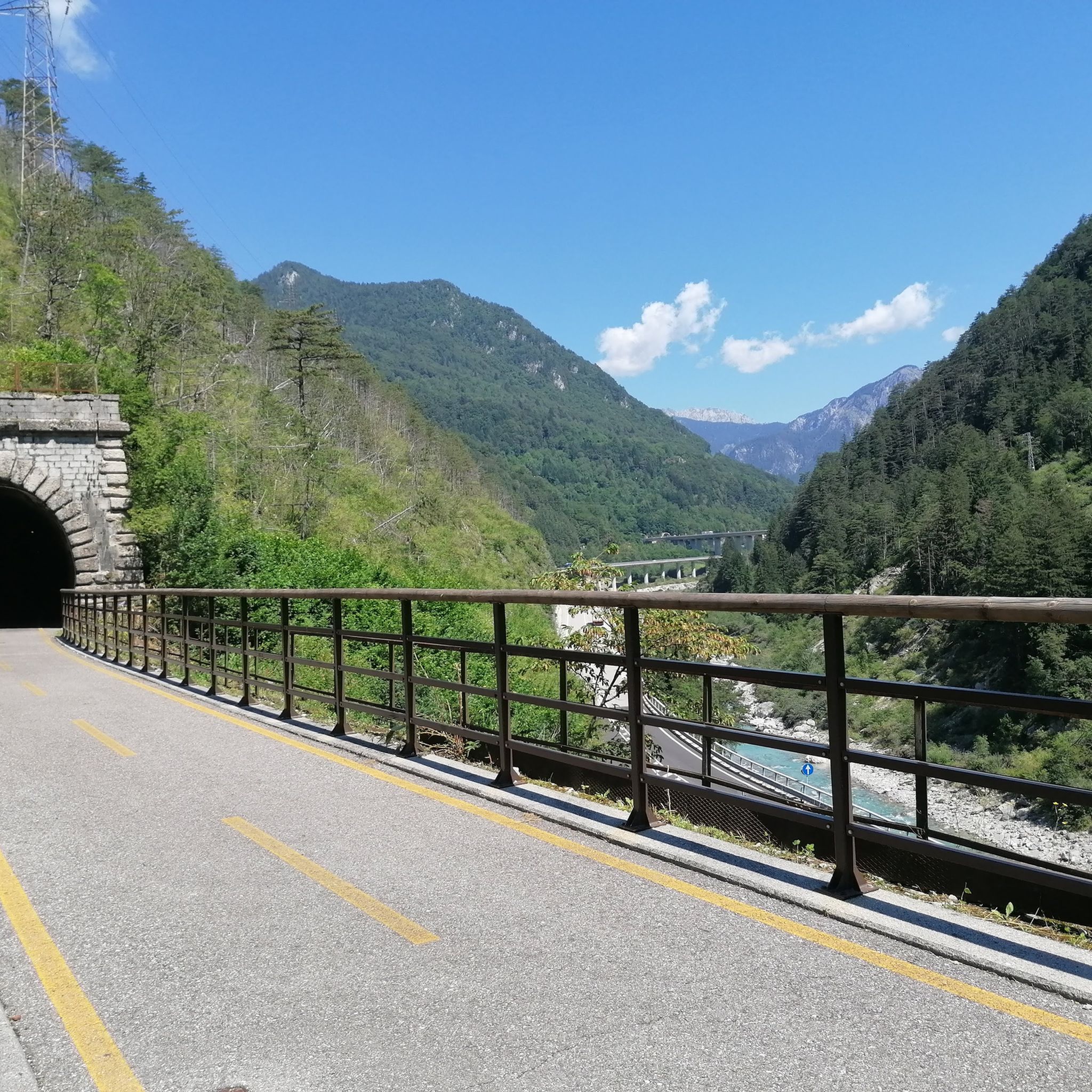
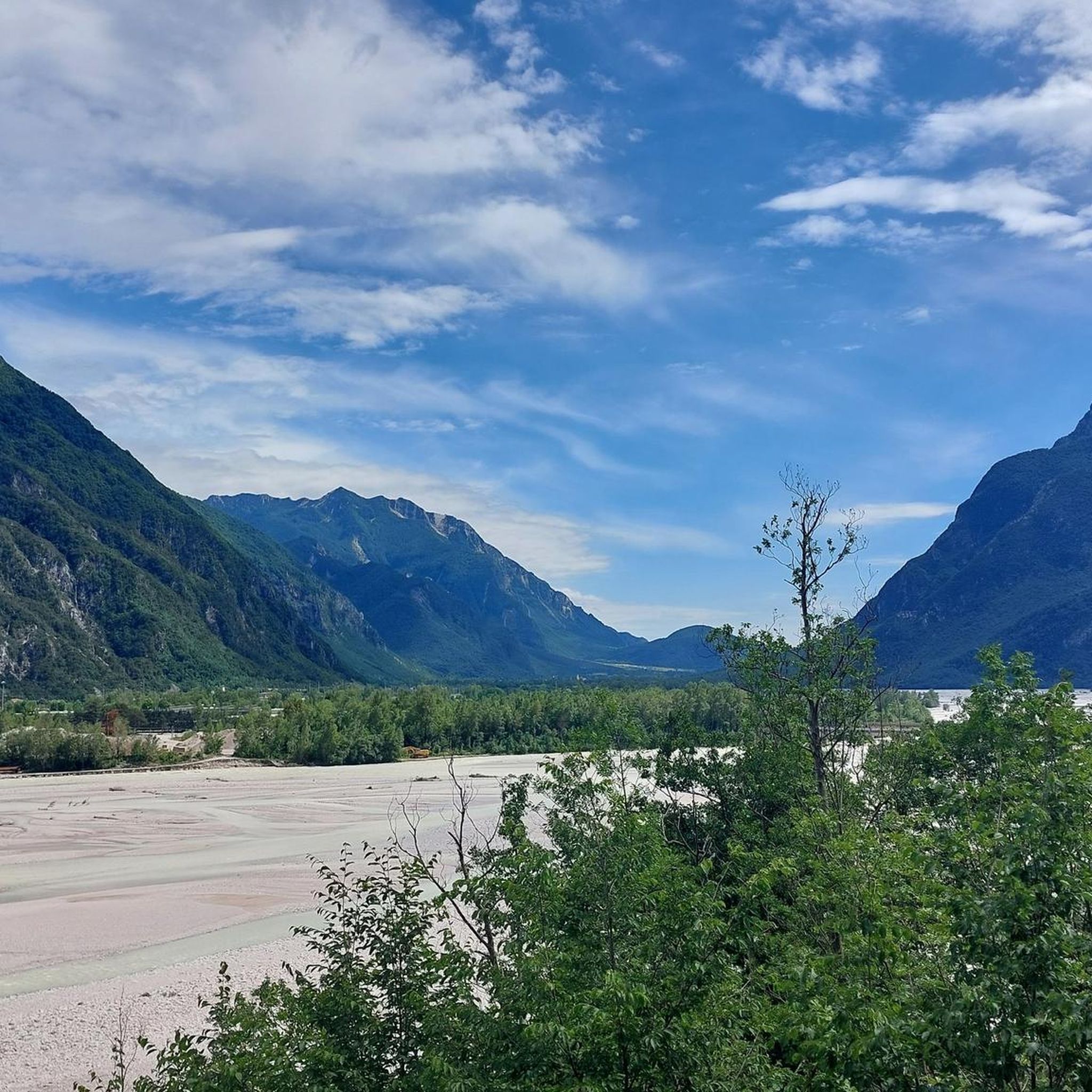
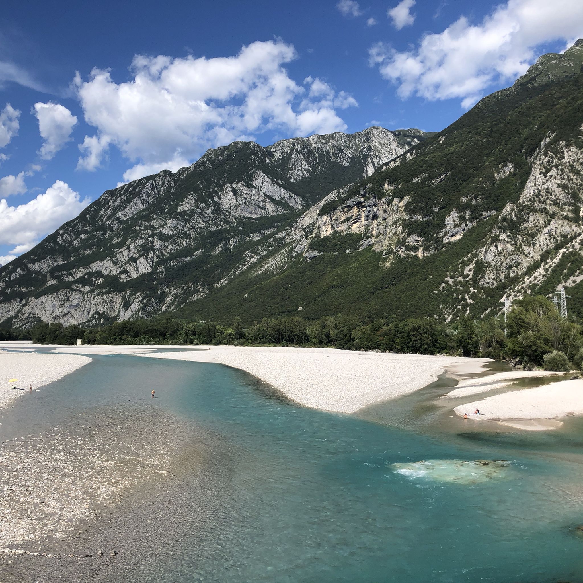
Hiking around Amaro features mountainous terrain with significant elevation changes, particularly around Monte Amariana. The region is characterized by diverse trails that traverse ridges and valleys, offering varied landscapes for hikers. Paths often lead through areas with historical mountain settlements and natural features within the geologically rich Carnic Alps.
Best hiking trails around Amaro
- The most popular hiking route is Monte Amariana Normal Route, a 8.5 miles (13.8 km) trail that takes about 7 hours 35 minutes to complete. This route features substantial elevation gain towards the summit of Monte Amariana.
- Another top favourite among local hikers is CAI Trail 415 through Stavoli Amariana, a difficult 9.8 miles (15.8 km) path. This trail offers challenging ascents and passes through the Stavoli Amariana area.
- Local hikers also love the Forest Trail – Via Ferrata Monte Amariana loop from Cristo di forca, a 4.0 miles (6.5 km) trail leading through forested sections and near a via ferrata, often completed in about 4 hours 30 minutes.
- Hiking around Amaro is defined by mountainous ascents, dramatic ridges, and diverse forest paths. The network offers options for different ability levels, from moderate paths to challenging climbs.
- The routes in Amaro are highly rated by the komoot community with an average score of 4.4 stars from over 2000 reviews. More than 10000 hikers have used komoot to explore Amaro's varied terrain.
Last updated: September 26, 2026
4.8
(6)
25
hikers
13.8km
07:35
1,550m
1,550m
Hike the difficult Monte Amariana Summit Trail from Amaro (via Route 414) for panoramic views and an adventurous via ferrata.
4.0
(2)
20
hikers
15.8km
08:48
1,550m
1,550m
Alpine trail through historic mountain settlements and dramatic ridges in the geologically rich Carnic Alps.

4.7
(77)
522
hikers
6.51km
04:31
850m
850m
Hard hike. Good fitness required. Sure-footedness, sturdy shoes and alpine experience required.
4.2
(22)
124
hikers
Moderate hike. Good fitness required. Mostly accessible paths. Sure-footedness required.
21
hikers
18.8km
09:28
1,610m
1,610m
Hard hike. Very good fitness required. Sure-footedness, sturdy shoes and alpine experience required.
Get access to more routes and recommendations from other explorers.
Already have an account?
Our route recommendations are based on thousands of hikes, rides, and runs completed by other people on komoot.
Start today with a free account
Your next adventure awaits.

Tips from the Community

Attention, trails closed until the end of October, unless extended, due to the August 26 fire
0
0
Attention paths closed until the end of October, subject to extensions, due to the August fire
1
0


Manuela's refuge will open in June 2025!
1
0

Frequently Asked Questions
How many hiking trails are available around Amaro?
There are over 15 hiking trails around Amaro, offering a variety of experiences. The komoot community has rated these routes highly, with an average score of 4.4 stars from over 2,000 reviews.
Are there any easy hiking options in Amaro for beginners or families?
While Amaro is known for its challenging mountainous terrain, there are moderate options available. For example, the Ricovero Forcella Colò – Stavoli Amariana di Sotto loop from Carnia / Stazion di Cjargne is a moderate 7.7 km hike that offers a less strenuous experience compared to the summit climbs.
What kind of landscapes can I expect to see while hiking in Amaro?
Hiking in Amaro offers diverse landscapes, from verdant forests to more barren, 'moon-like' tablelands at higher elevations, especially around Monte Amaro in the Maiella National Park. You'll traverse dramatic ridges, valleys, and paths that often lead through areas with historical mountain settlements.
Are there any circular hiking routes in Amaro?
Yes, there are circular routes available. A popular option is the Forest Trail – Via Ferrata Monte Amariana loop from Cristo di forca, which is a 6.5 km trail that takes you through forested sections and near a via ferrata.
What are some notable natural attractions or landmarks to look out for on the trails?
The region features impressive natural formations like the Gole di San Martino (Gorges of San Martino). You can also explore highlights such as Rio Serai and the Path Through the Rio Resartico Valley. At higher elevations, landmarks like Bivacco Pelino, a mountain hut, serve as resting points.
Can I spot any wildlife while hiking in Amaro?
Yes, the Maiella National Park, where Monte Amaro is located, is rich in biodiversity. Hikers have opportunities to spot Abruzzo chamois and deer, especially around September. The park is also home to rare species like golden eagles and Apennine wolves.
What is the best time of year to go hiking in Amaro?
The best time to hike in Amaro generally depends on the desired difficulty. Spring and autumn offer pleasant temperatures for most trails. For challenging high-altitude climbs to Monte Amaro, summer provides the most favorable conditions, though some routes might be accessible in late spring or early autumn. Winter hikes are possible but require specific gear and experience due to snow and ice.
Are there any challenging hikes for experienced trekkers?
Absolutely. Amaro is known for its demanding climbs. The Monte Amariana Normal Route is a difficult 13.8 km trail with substantial elevation gain. Another challenging option is the CAI Trail 415 through Stavoli Amariana, a difficult 15.8 km path with significant ascents.
What do other hikers enjoy most about the trails in Amaro?
The komoot community highly rates the trails in Amaro, with an average score of 4.4 stars. Reviewers often praise the stunning panoramic views from the summits, the diverse terrain ranging from forests to alpine plateaus, and the sense of accomplishment from tackling the challenging ascents.
Is it possible to reach the trailheads using public transport?
Information on specific public transport options directly to all trailheads around Amaro is limited. It is generally recommended to check local bus schedules or consider driving to access the starting points of many hikes, especially those deeper within the Maiella National Park.
Are there places to eat or stay near the hiking areas?
While specific cafes or pubs directly on the trails are rare, towns near the Maiella National Park offer amenities and accommodation. For hikers tackling Monte Amaro, Bivacco Pelino is a mountain hut near the summit that can serve as a resting point.
Most popular attractions around Amaro

Get inspired with the komoot mobile app


Explore more
Browse the best Hikes in other regions.
