Top 20 Mountain Passes around Oltressenda Alta
Best mountain passes around Oltressenda Alta are found within the Bergamasque Prealps, a mountainous terrain in the Province of Bergamo, Lombardy, Italy. The municipality of Oltressenda Alta is situated at approximately 850 meters, with its territory extending to Monte Ferrante at over 2,400 meters above sea level. This region offers numerous trails and pathways that lead to higher elevations, providing opportunities for exploration of its natural landscape. The area is characterized by its alpine environment, featuring forests and panoramic viewpoints.
…Last updated: June 26, 2026
Third Millennium Bell at Forcella Larga
Highlight • Monument
Translated by Google •
Tip by

Manina Chapel
Highlight • Religious Site
The small church, built in 1948 and renovated …
Translated by Google •
Tip by

Sign up now to discover places like this
Get recommendations on the best single tracks, peaks, & plenty of other exciting outdoor places.
Sign up for free
Passo degli Agnelli
Highlight • Mountain Pass
Translated by Google •
Tip by

Presolana Pass
Highlight • Mountain Pass
Translated by Google •
Tip by

Passo Pozzera
Highlight • Mountain Pass
Translated by Google •
Tip by

Sign up for free to discover even more mountain passes around Oltressenda Alta.
Sign up for free
Already have an account?
Start today with a free account
Your next adventure awaits.
Login or Signup

Tips from the Community

I've done it twice in the same lap, first from Desso, then after climbing Monte Pora. They're completely different. From Desso, it's long and always in double digits, with significant peaks, so take it with a pinch of salt; the other is rideable. Seeing is believing. 🚴♀️
0
0

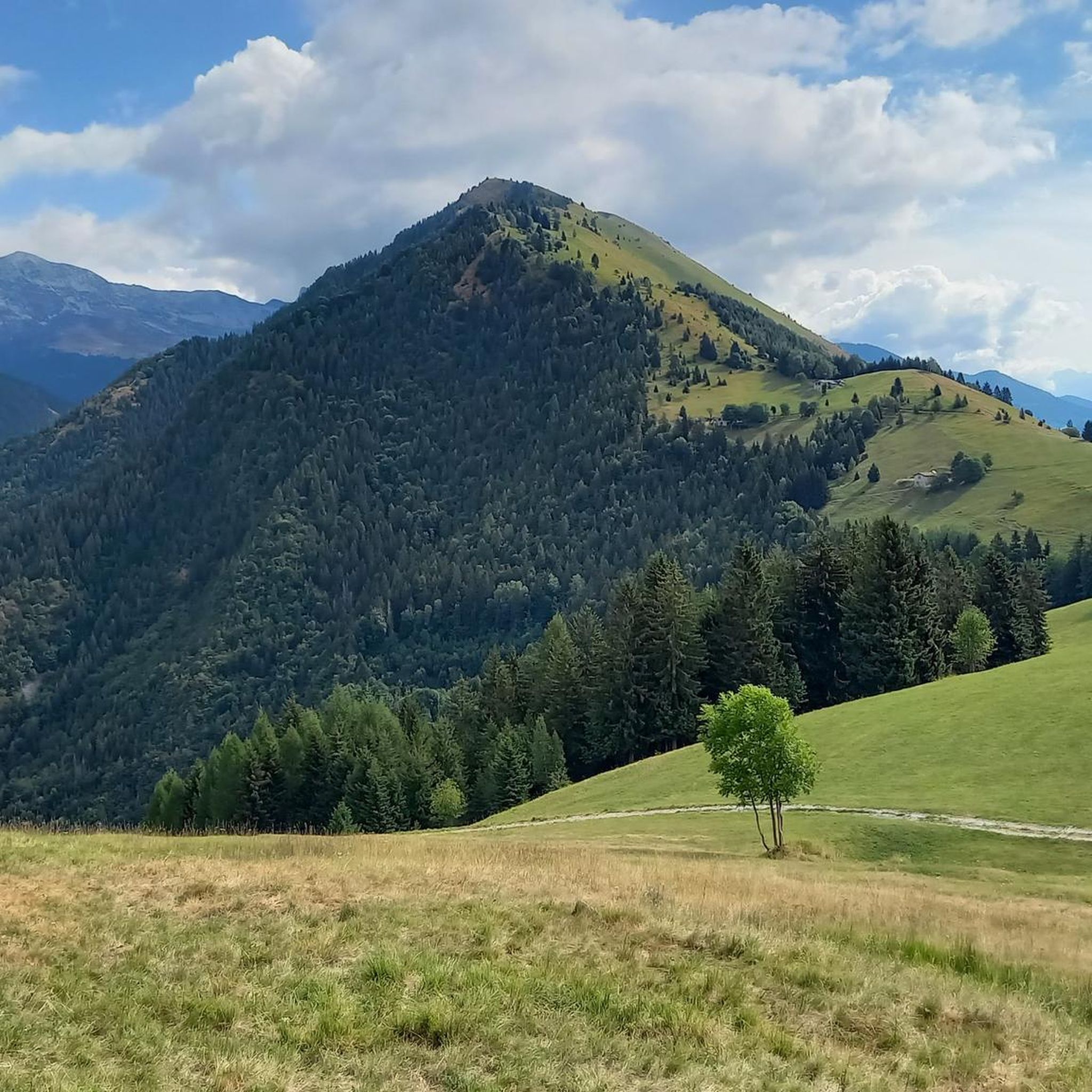
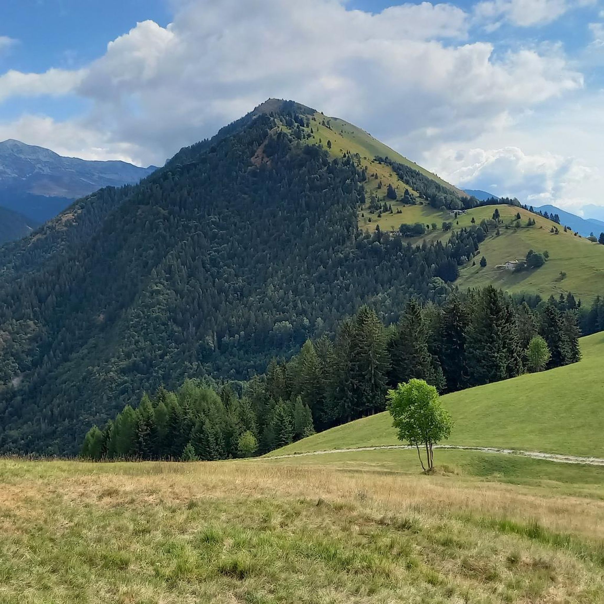
Passo degli Agnelli is located at 1950 meters above sea level, under the steep walls of the southern slope of Presolana. It is a spectacular panoramic point, easily reachable from Rifugio Rino Olmo. The hike to the pass offers splendid views of the surrounding mountains and can be part of a circular tour that includes Valle dei Mulini, Passo Olone and Rifugio Olmo. The trail crosses scree and woods, offering an immersive experience in the nature of the Bergamo Orobie
0
0
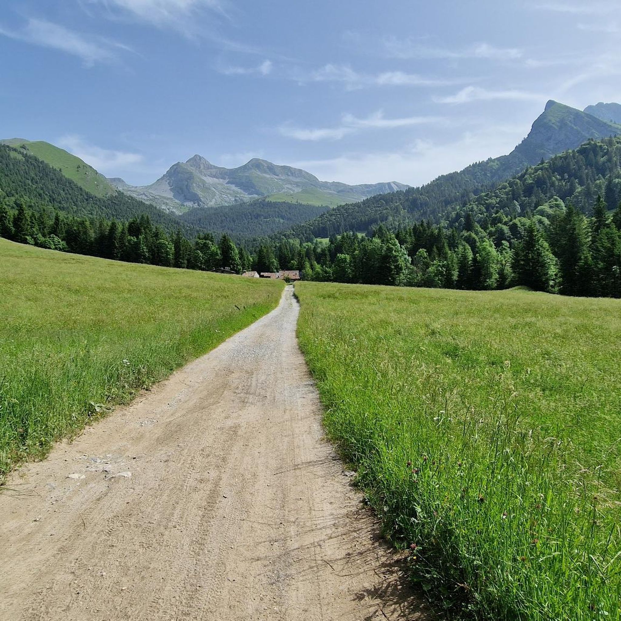
Forcella Larga is a pass located along the hiking trail that connects Pizzo Formico (1636 m) to Montagnina, in Val Gandino, province of Bergamo. It is a panoramic point much appreciated by hikers for its view of the Orobie Bergamasche and Val Seriana. Characteristics of Forcella Larga: Altitude: About 1470 meters. Access: Reachable via the CAI 549 path, which connects Monte Farno to the Rifugio Parafulmine. Panorama: View of Val Seriana, Val Gandino and the surrounding mountains. Support points: Capanna Ilaria, located near the fork. Recommended route: The most common path starts from Conca del Farno, crosses Montagnina and reaches Forcella Larga before continuing towards the summit of Pizzo Formico. It is an excursion suitable for those who have experience in the mountains and want to enjoy a breathtaking view.
0
0
Capanna Ilaria is located at 1470 meters above sea level, in the Forcella Larga area, along the hiking trail that leads to Pizzo Formico (1636 m). It is a reference point for hikers who cross the Montagnina and head towards Rifugio Parafulmine. Characteristics of Capanna Ilaria: Altitude: 1470 m. Location: Forcella Larga, along the CAI 549 trail. History: The hut is a historic ruin, often used as a rest point. Route: Connections with Pizzo Formico, Monte Farno and Rifugio Parafulmine. Panorama: View of Val Seriana, Val Gandino and the Orobie. From Pizzo Formico, Capanna Ilaria can be reached in about 30 minutes, following the trail that crosses the Montagnina. It is a perfect place for a break before continuing towards the refuge or the summit.
0
0

nice to pass by and ring the bell.
0
0

Nice climb with fantastic views.
15
0

It is possible to enter the metal helix to pull the rope and ring the bell... I recommend not doing this with the dog in tow, he would be very scared!
0
0

Crossed on the way back from Pizzo Corzene.
0
0
Frequently Asked Questions
What types of mountain passes can I explore around Oltressenda Alta?
The region around Oltressenda Alta, nestled in the Bergamasque Prealps, offers a variety of mountain pathways. You'll find everything from challenging alpine trails to more moderate forest paths, catering to different experience levels. These passes often lead to higher elevations, providing stunning panoramic views and opportunities to immerse yourself in the natural alpine environment.
Which mountain passes offer the best panoramic views?
Several passes provide exceptional views. Passo degli Agnelli, at 1,950 meters, is a beautiful panoramic point under the steep southern walls of Presolana. Manina Chapel, located at Manina Pass, offers extensive views of peaks like Presolana, Coca, and Redorta. Additionally, Olone Pass provides incredible views of the Presolana massif, Valzurio, and Castione.
Are there any historical sites or landmarks at the mountain passes?
Yes, the area combines natural beauty with historical significance. The Manina Chapel, built in 1948 at Manina Pass, is a symbol of faith and friendship between the valleys. At Forcella Larga, you can find the Third Millennium Bell and the ruins of Rif. Capanna Ilaria, which served as a base for partisans during World War II.
What kind of outdoor activities can I do near these mountain passes?
The mountain passes around Oltressenda Alta are excellent starting points for various outdoor activities. You can find numerous hiking trails, ranging from moderate to difficult, such as the 'Valzurio forest trail to Rifugio Rino Olmo (via Trail 340)' or the challenging 'Trail 314 from Baite del Möschel to Passo degli Omini'. For more options, explore the hiking guide for Oltressenda Alta. There are also running and gravel biking routes available in the wider region.
Are there any family-friendly mountain passes or trails suitable for children?
While some trails are challenging, Oltressenda Alta offers paths with varying degrees of difficulty. For family-friendly options, look for moderate forest paths. The 'Valzurio forest trail to Rifugio Rino Olmo (via Trail 340)' is a moderate option that follows a torrent and leads to a refuge, which can be a rewarding destination for families. Always check the specific trail details for suitability with children.
What is the best time of year to visit the mountain passes around Oltressenda Alta?
The best time to visit for hiking and exploring the mountain passes is typically from late spring through early autumn (May to October). During these months, the weather is generally milder, and trails are more accessible. In winter, some paths, especially at higher elevations, can be covered in snow and ice, requiring specialized equipment like crampons and experience with winter conditions.
What should I bring when hiking the mountain passes in this region?
When hiking in the Bergamasque Prealps, it's advisable to bring appropriate hiking gear, including sturdy boots, layers of clothing for changing weather conditions, water, snacks, and a map or GPS device. For more challenging or winter routes, consider bringing trekking poles, and in snowy conditions, crampons might be necessary, especially on steep sections like those near Manina Pass.
Are there any specific challenges or difficulties to be aware of on these mountain passes?
Some passes, like Presolana Pass, feature demanding climbs with steep gradients up to 14%. The path to Manina Pass can also be physically demanding due to its slope, though technically simple. In winter, snow and ice can make trails hazardous, requiring caution and proper equipment. Always check current conditions before heading out.
What do visitors enjoy most about the mountain passes in Oltressenda Alta?
Visitors frequently praise the spectacular panoramic views, the immersive alpine environment, and the sense of discovery. Many appreciate the challenging climbs that lead to rewarding vistas, and the historical elements found at sites like the Manina Chapel and Third Millennium Bell at Forcella Larga. The feeling of a 'new world opening up' at passes like Passo degli Agnelli is also a highlight.
Where can I find accommodation or places to eat near the mountain passes?
While Oltressenda Alta is a small municipality, the wider Val Seriana and Val di Scalve regions offer various options for accommodation, cafes, and pubs. Many hiking routes lead to or pass by mountain refuges, such as Rifugio Rino Olmo, which can provide a place to rest and eat. It's advisable to check local listings for specific establishments in nearby towns like Valzurio or Castione della Presolana.
Are dogs allowed on the trails around Oltressenda Alta's mountain passes?
Generally, dogs are welcome on many hiking trails in the Bergamasque Prealps, but it's always best to keep them on a leash, especially in areas with livestock or wildlife. Be mindful of other hikers and ensure your dog is well-behaved. Check for any specific local regulations or signage on individual trails or protected areas.
Most popular routes around Oltressenda Alta
Most popular attractions around Oltressenda Alta

Get inspired with the komoot mobile app


Explore more
See even more epic mountain passes by checking out these guides around Oltressenda Alta:
