The best walks and hikes around Oltressenda Alta
4.5
(501)
3,038
hikers
22
hikes
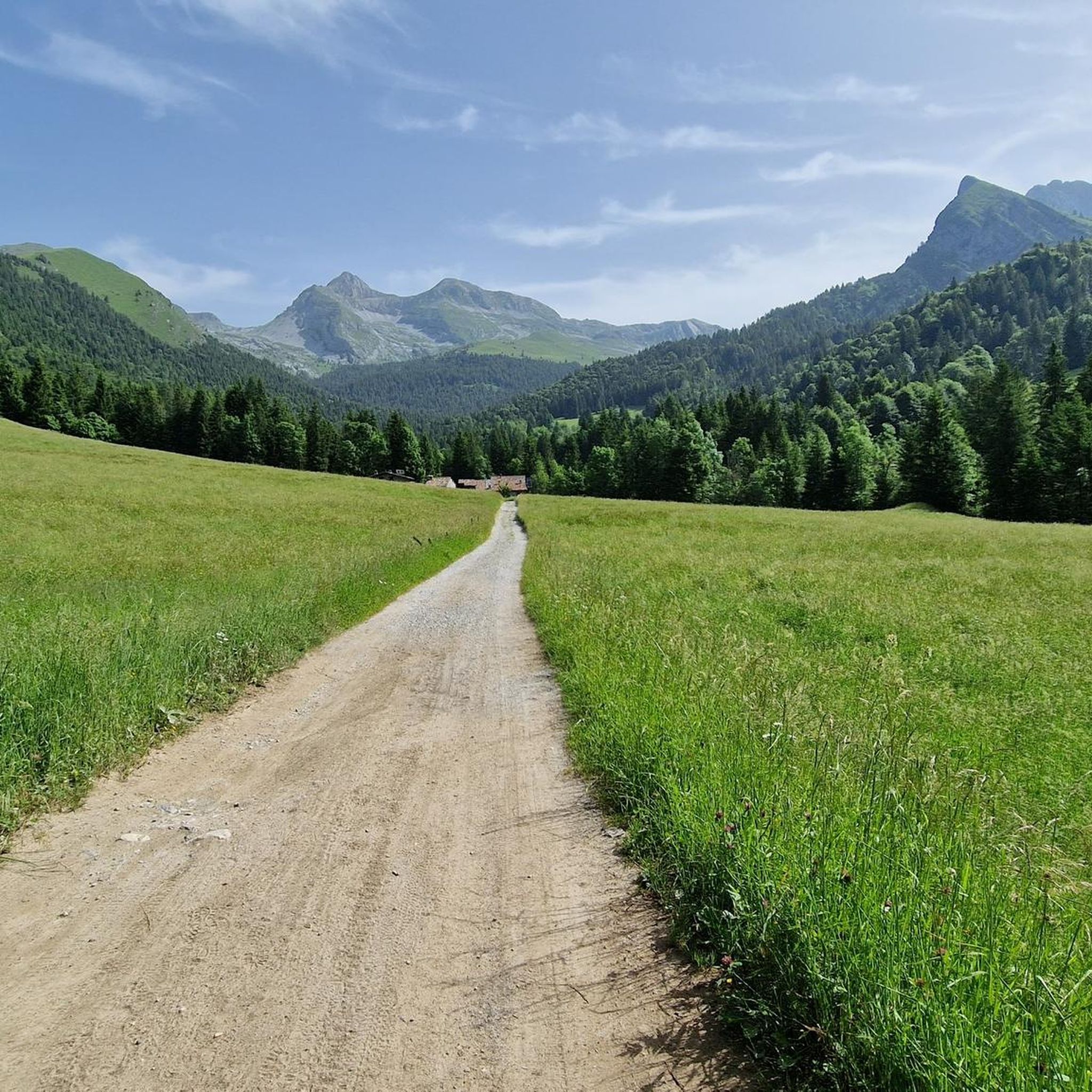
Hiking around Oltressenda Alta offers diverse natural features and an extensive network of trails. The region spans a significant altitude range, from approximately 600 meters above sea level to the 2,427-meter summit of Monte Ferrante. It includes the tranquil Valzurio, known as the "Blue Valley," with small lakes notable for their intense blue color. The landscape features active pastures, beech forests, and dense pine forests, providing varied topography for hikers.
Best hiking trails around Oltressenda Alta
- The most popular hiking route is Valzurio forest trail to Rifugio Rino Olmo (via Trail 340), a 5.9 miles (9.4 km) trail that takes 3 hours 46 minutes to complete, offering panoramic views of Presolana.
- Another top favourite among local hikers is Trail 314 from Baite del Möschel to Passo degli Omini, a difficult 8.3 miles (13.4 km) path. This route involves significant elevation gain through mountainous terrain.
- Local hikers also love the Baite del Möschel – Selter Ruì (Cold Hole) loop from Valzurio, a 7.5 miles (12.1 km) trail leading through alpine scenery, often completed in about 3 hours 52 minutes.
- Hiking around Oltressenda Alta is defined by mountainous terrain, tranquil valleys like Valzurio, and dense pine forests with alpine huts. The network offers options for various ability levels, from moderate paths to challenging excursions.
- The routes in Oltressenda Alta are highly rated by the komoot community with an average score of 4.6 stars from over 400 reviews. More than 2,800 hikers have used komoot to explore Oltressenda Alta's varied terrain.
Last updated: June 25, 2026
4.7
(11)
93
hikers
9.42km
03:46
600m
600m
Stream-side forest trail through Valzurio leading to panoramic views of Presolana from historic Rifugio Rino Olmo.
13.4km
07:24
1,310m
1,310m
Alpine trail through working pastures and beech forests to a mountain pass connecting two pristine valleys.

Sign up for free
4.4
(77)
417
hikers
12.1km
03:53
490m
490m
Moderate hike. Good fitness required. Mostly accessible paths. Sure-footedness required.
4.8
(55)
323
hikers
20.4km
08:50
1,280m
1,280m
Hard hike. Very good fitness required. Mostly accessible paths. Sure-footedness required.
4.8
(25)
170
hikers
26.5km
10:54
1,570m
1,570m
Hard hike. Very good fitness required. Mostly accessible paths. Sure-footedness required.
Get access to more routes and recommendations from other explorers.
Sign up for free
Already have an account?
Our route recommendations are based on thousands of hikes, rides, and runs completed by other people on komoot.
Start today with a free account
Your next adventure awaits.
Login or Signup

Tips from the Community


A very characteristic refuge at the foot of the Presolana at 1,940 meters. It can be climbed from Teveno or Colere (in approximately 1 hour 45 and 2 hours 30 minutes). Several peaks can be reached from the refuge; the Curò refuge can be reached via the Giro delle Orobie trail.
0
0

natural masonry which has the characteristic of maintaining a cool and constant temperature inside
0
0
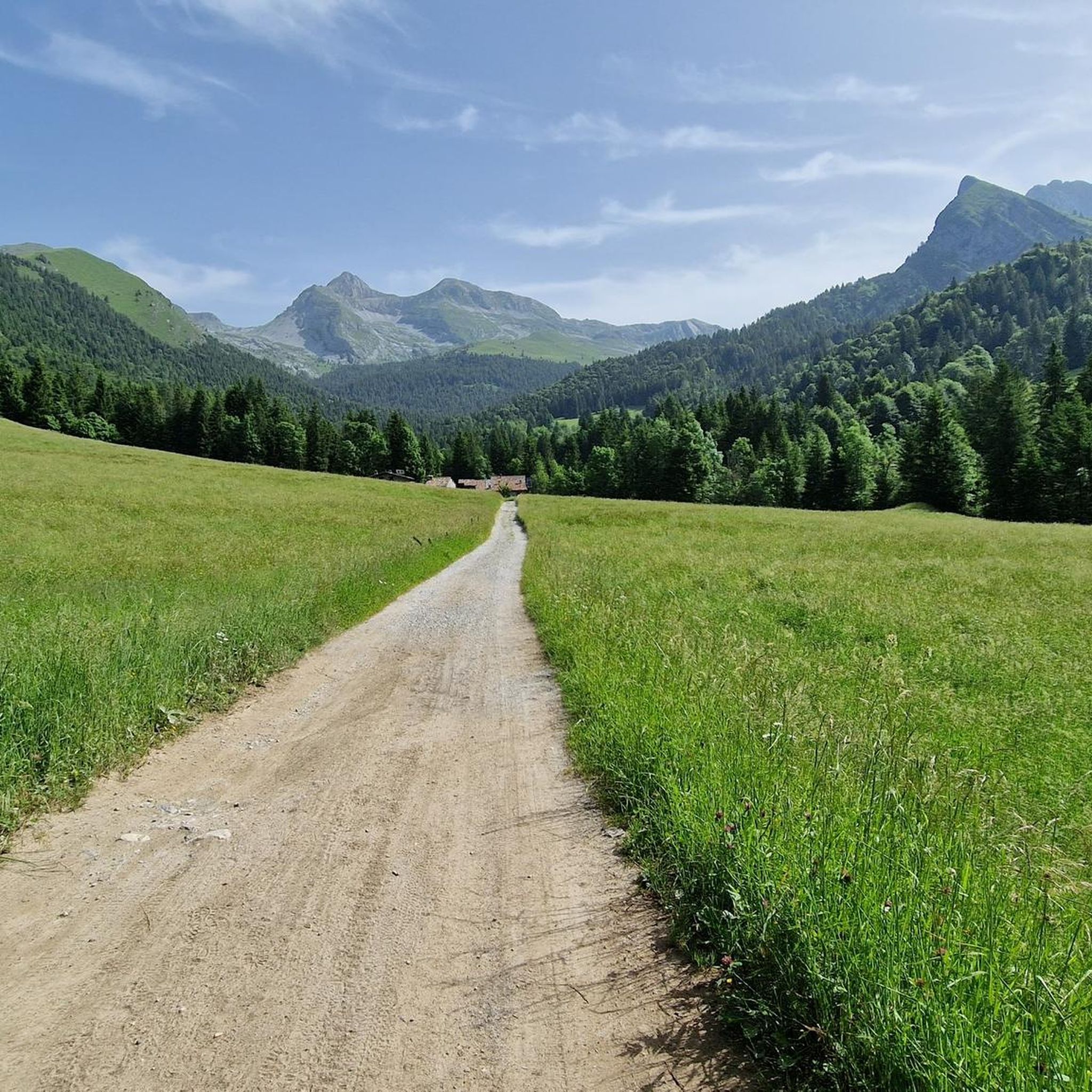
going up from the valley, arriving along the meadow that precedes the huts immersed in the greenery, it is all very impressive
1
0
interesting work, a stop to read the sign is definitely recommended
0
0

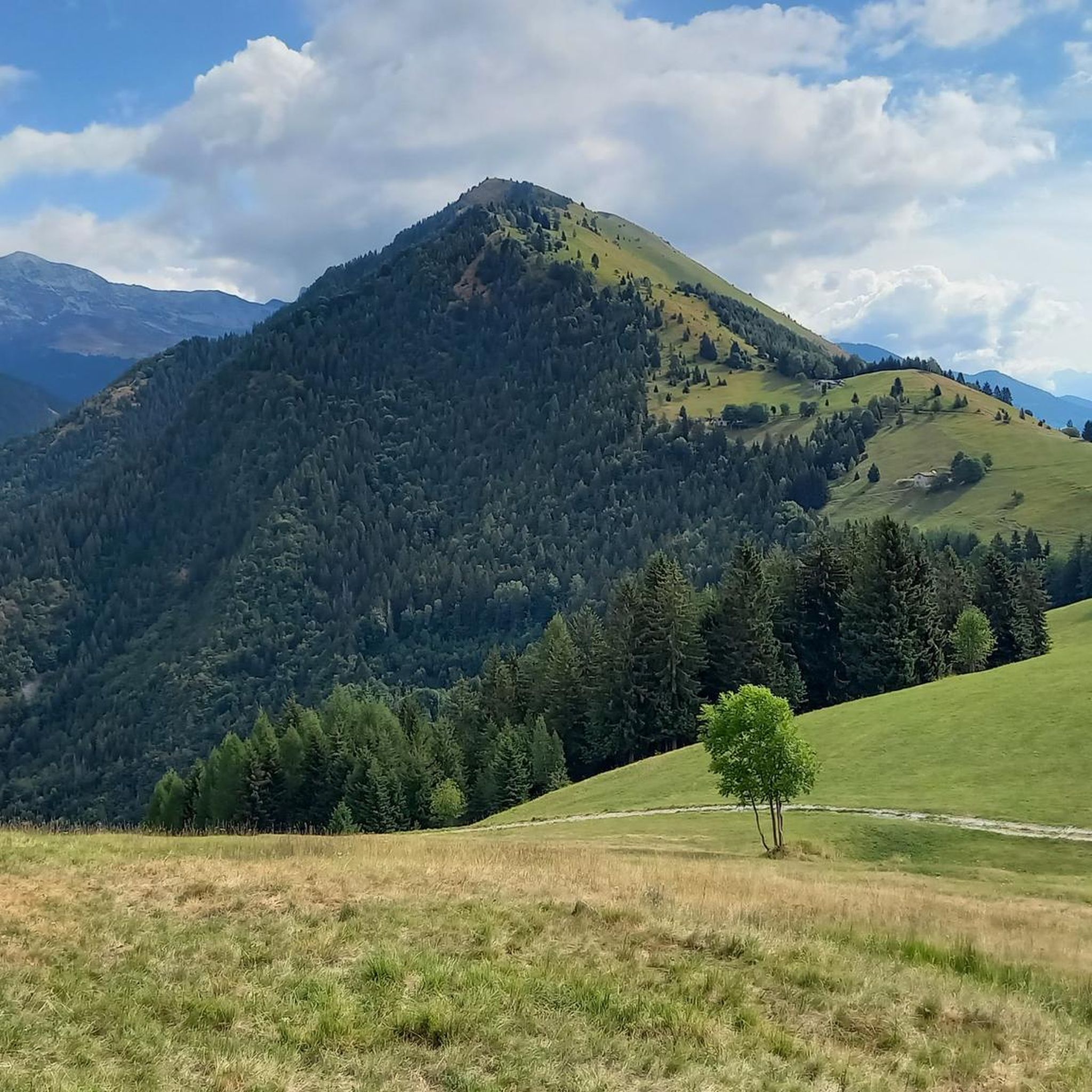
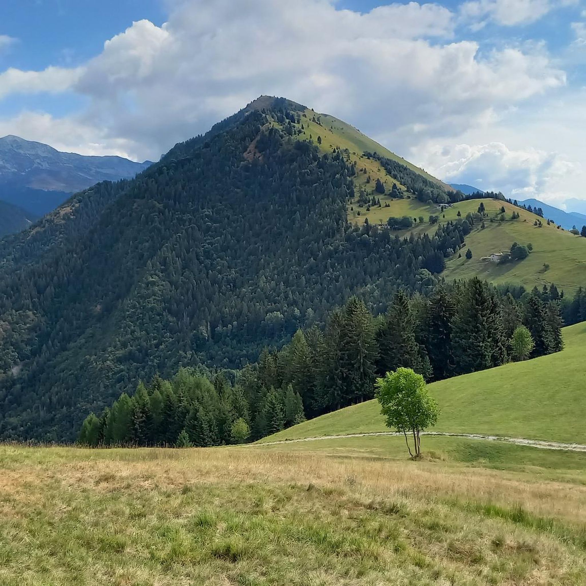
Serene environment and beautiful view
1
0

A small hamlet just after Valzurio. Parking is available immediately afterward for the start of the hiking trails.
0
0
Frequently Asked Questions
What kind of hiking trails can I expect in Oltressenda Alta?
Oltressenda Alta offers a diverse network of trails, ranging from easy strolls to challenging excursions. The landscape features mountainous terrain, tranquil valleys like Valzurio, dense pine forests, and active pastures. You'll find options suitable for various ability levels, with a total of 22 tours available.
Are there any easy or family-friendly hiking options in Oltressenda Alta?
Yes, Oltressenda Alta provides itineraries for all tastes, including naturalistic itineraries suitable for easy strolls. While specific family-friendly routes aren't detailed, there is 1 easy tour among the 22 available, which could be suitable for families or those seeking a less strenuous walk.
Where can I find circular hiking routes in Oltressenda Alta?
Several circular routes are available in the region. For example, the Baite del Möschel – Selter Ruì (Cold Hole) loop from Valzurio is a moderate 12.1 km trail. Another option is the Rino Olmo Hut – Baite del Möschel loop from Spinelli, a more challenging 13.3 km route.
Are there any challenging hikes for experienced trekkers?
Absolutely. Oltressenda Alta is known for its challenging excursions. There are 12 difficult tours available. A notable example is Trail 314 from Baite del Möschel to Passo degli Omini, an 8.3-mile (13.4 km) path with significant elevation gain, taking around 7 hours and 24 minutes to complete.
What natural attractions can I see while hiking in Oltressenda Alta?
The region is rich in natural beauty. You can explore the tranquil Valzurio, also known as the 'Blue Valley,' and discover the Giant's Kettles of Valzurio. Along the Ogna stream, you'll find the Laghetti Azzurri (Blue Lakes), known for their intense blue color. The area also features dense pine forests and views of peaks like Presolana.
Are there any waterfalls in the Oltressenda Alta area?
Yes, the region boasts several beautiful waterfalls. You can visit the impressive Serio Falls, the Sanguigno Stream Waterfalls, and the Sersen Waterfall. These natural features add to the picturesque scenery of the hiking trails.
What historical or cultural sites can be explored near the hiking trails?
Beyond nature, Oltressenda Alta has a rich history. You can explore the narrow streets of historic centers like Nasolino and Valzurio to admire ancient architecture. The Sanctuary of Madonna del Frassino, dating back to 1502, is also located on the slopes of Monte Alben and contains valuable frescoes and sculptures.
What is the best time of year to go hiking in Oltressenda Alta?
The area offers a refreshing experience in summer, with cool air currents in places like Valzurio. However, it experiences significant frost in winter. For general hiking, late spring to early autumn typically provides the most favorable conditions, allowing access to a wider range of trails.
Is Oltressenda Alta suitable for winter activities?
Yes, during the winter months, the area attracts ski mountaineering enthusiasts, offering opportunities for winter sports beyond traditional hiking. Hikers should be prepared for significant frost and potentially challenging conditions.
What do other hikers say about the trails in Oltressenda Alta?
The routes in Oltressenda Alta are highly rated by the komoot community, with an average score of 4.6 stars from over 400 reviews. More than 2,800 hikers have used komoot to explore the region's varied terrain, often praising the breathtaking landscapes and pristine nature.
Are there any specific routes that offer panoramic views?
Yes, many trails provide stunning vistas. The Valzurio forest trail to Rifugio Rino Olmo (via Trail 340), for instance, offers panoramic views of Presolana. The route to Colle Palazzo, which can be done as a loop from Contrada Bricconi, also provides unique panoramic views.
Most popular routes around Oltressenda Alta
Most popular attractions around Oltressenda Alta

Get inspired with the komoot mobile app


Explore more
Browse the best Hikes in other regions.
