Top 15 Mountain Passes around Fino Del Monte
Best mountain passes around Fino Del Monte are situated in a municipality within the Province of Bergamo, Lombardy, Italy. This region features mountainous terrain, offering diverse opportunities for outdoor activities amidst natural landscapes. The area includes notable peaks and extensive trekking routes that provide experiences of traversing elevated terrain and enjoying panoramic views. It is characterized by its natural environment, ranging from forested paths to rugged alpine settings.
Best mountain passes around Fino Del Monte
- The most popular mountain pass…
Last updated: June 26, 2026
Third Millennium Bell at Forcella Larga
Highlight • Monument
Translated by Google •
Tip by

Passo degli Agnelli
Highlight • Mountain Pass
Translated by Google •
Tip by

Sign up now to discover places like this
Get recommendations on the best single tracks, peaks, & plenty of other exciting outdoor places.
Sign up for free
Presolana Pass
Highlight • Mountain Pass
Translated by Google •
Tip by

Passo Pozzera
Highlight • Mountain Pass
Translated by Google •
Tip by

Olone Pass
Highlight • Mountain Pass
Translated by Google •
Tip by

Sign up for free to discover even more mountain passes around Fino Del Monte.
Sign up for free
Already have an account?
Start today with a free account
Your next adventure awaits.
Login or Signup

Tips from the Community

I've done it twice in the same lap, first from Desso, then after climbing Monte Pora. They're completely different. From Desso, it's long and always in double digits, with significant peaks, so take it with a pinch of salt; the other is rideable. Seeing is believing. 🚴♀️
0
0

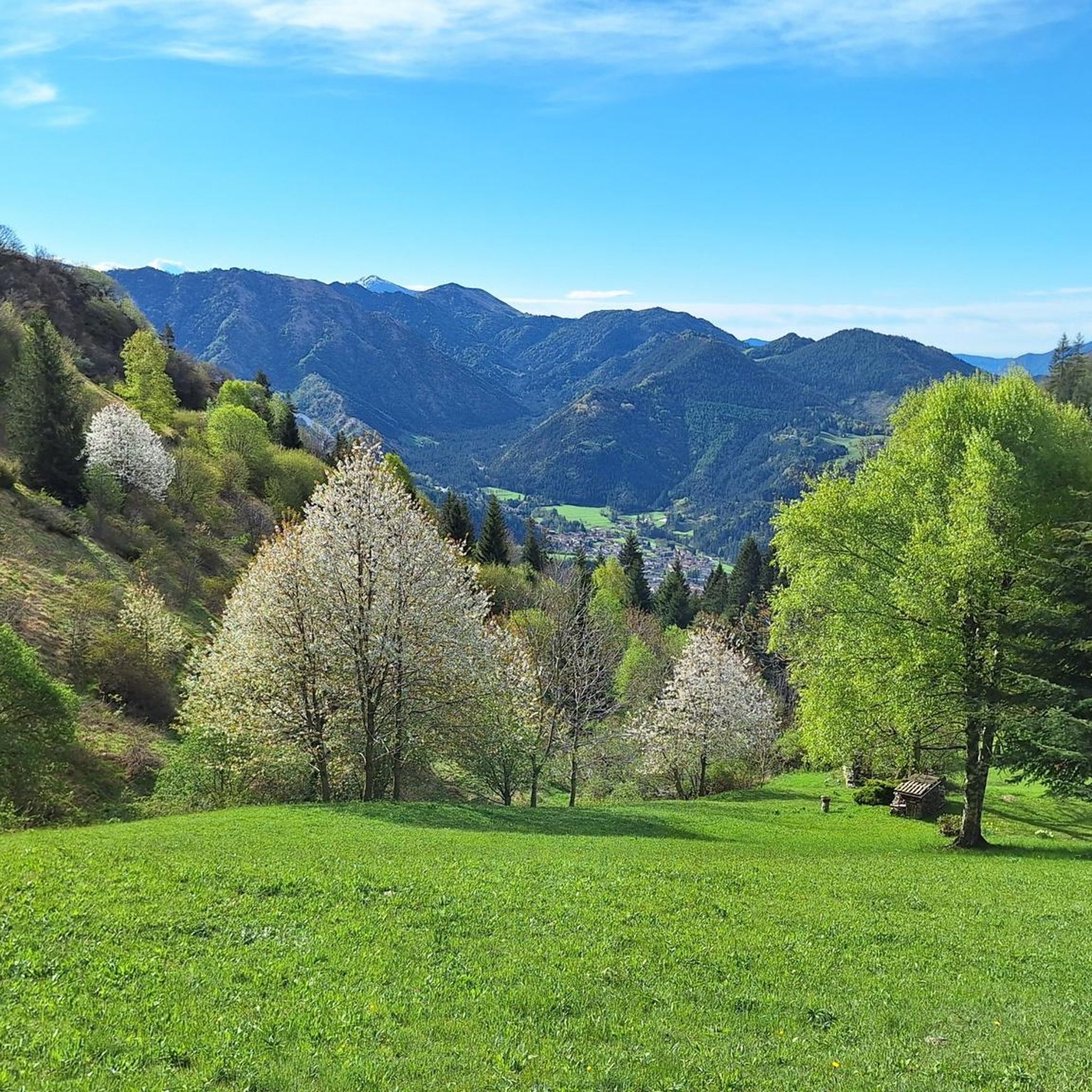
Passo Olone is a mountain pass located in the Bergamo Prealps, near Castione della Presolana, in Lombardy. It is a popular destination for hikers, often reached via paths that pass by the Rino Olmo Refuge. The refuge, located at 1819 meters above sea level, is an excellent base for exploring the area and offers spectacular views of the surrounding mountains.
0
0
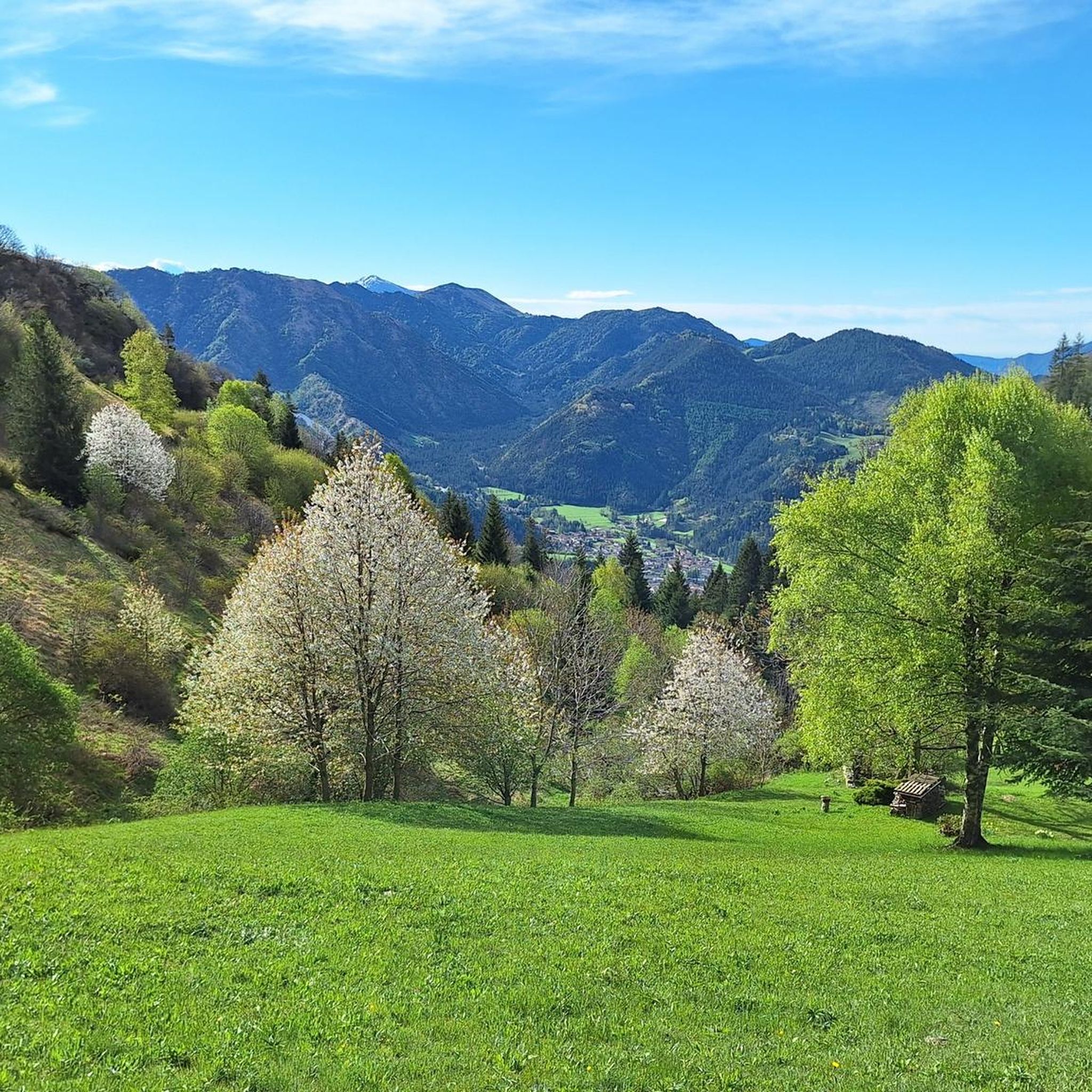
Passo degli Agnelli is located at 1950 meters above sea level, under the steep walls of the southern slope of Presolana. It is a spectacular panoramic point, easily reachable from Rifugio Rino Olmo. The hike to the pass offers splendid views of the surrounding mountains and can be part of a circular tour that includes Valle dei Mulini, Passo Olone and Rifugio Olmo. The trail crosses scree and woods, offering an immersive experience in the nature of the Bergamo Orobie
0
0
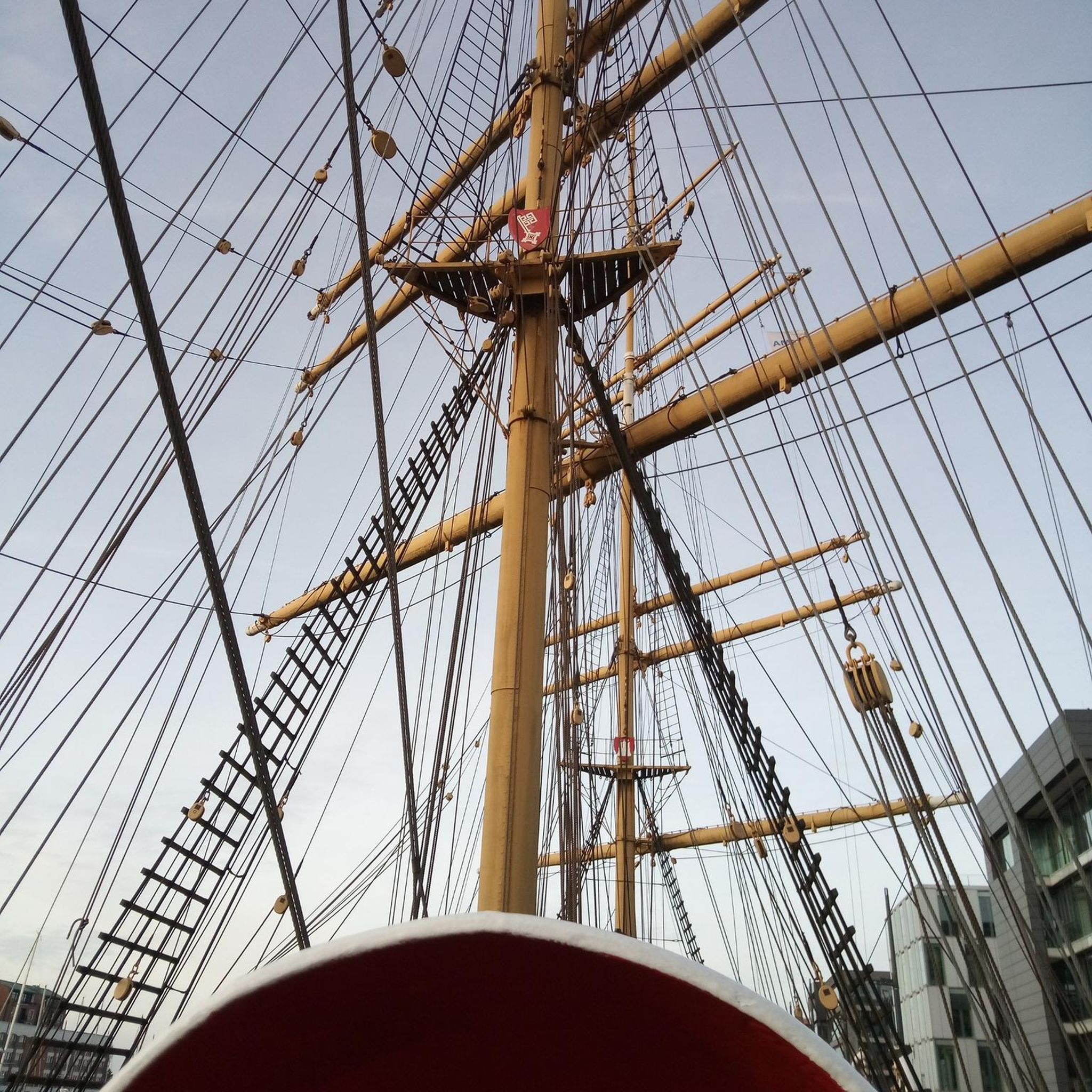
Forcella Larga is a pass located along the hiking trail that connects Pizzo Formico (1636 m) to Montagnina, in Val Gandino, province of Bergamo. It is a panoramic point much appreciated by hikers for its view of the Orobie Bergamasche and Val Seriana. Characteristics of Forcella Larga: Altitude: About 1470 meters. Access: Reachable via the CAI 549 path, which connects Monte Farno to the Rifugio Parafulmine. Panorama: View of Val Seriana, Val Gandino and the surrounding mountains. Support points: Capanna Ilaria, located near the fork. Recommended route: The most common path starts from Conca del Farno, crosses Montagnina and reaches Forcella Larga before continuing towards the summit of Pizzo Formico. It is an excursion suitable for those who have experience in the mountains and want to enjoy a breathtaking view.
0
0
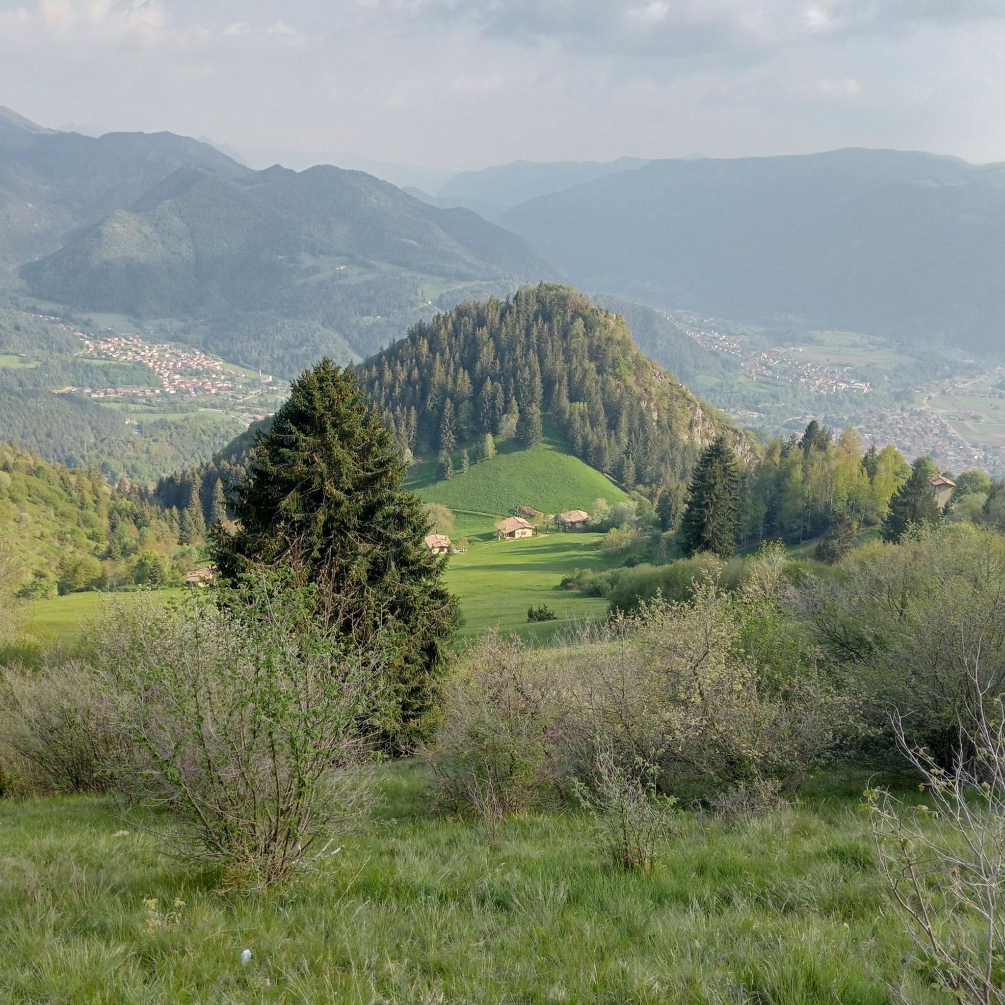
Capanna Ilaria is located at 1470 meters above sea level, in the Forcella Larga area, along the hiking trail that leads to Pizzo Formico (1636 m). It is a reference point for hikers who cross the Montagnina and head towards Rifugio Parafulmine. Characteristics of Capanna Ilaria: Altitude: 1470 m. Location: Forcella Larga, along the CAI 549 trail. History: The hut is a historic ruin, often used as a rest point. Route: Connections with Pizzo Formico, Monte Farno and Rifugio Parafulmine. Panorama: View of Val Seriana, Val Gandino and the Orobie. From Pizzo Formico, Capanna Ilaria can be reached in about 30 minutes, following the trail that crosses the Montagnina. It is a perfect place for a break before continuing towards the refuge or the summit.
0
0

nice to pass by and ring the bell.
0
0

Nice climb with fantastic views.
15
0

It is possible to enter the metal helix to pull the rope and ring the bell... I recommend not doing this with the dog in tow, he would be very scared!
0
0
Frequently Asked Questions
What are some notable mountain passes and peaks in the Fino Del Monte region?
The Fino Del Monte region, while not widely known for traditional named mountain passes, features several significant peaks and elevated points offering similar experiences. Notable examples include Passo degli Agnelli, a panoramic point at 1,950 meters, and Presolana Pass, known for its challenging climbs and views. Other important locations include Pizzo Formico and Pizzo Corzene, which are popular for hiking and offer extensive panoramic views.
Are there challenging mountain passes for experienced hikers or cyclists?
Yes, the region offers challenging options. Presolana Pass, for instance, features climbs with sections up to 14% gradient, particularly from Dezzo di Scalve. The path to Olone Pass, while technically easy, is physically demanding. For cyclists, the northern side of Presolana Pass is known for its steep stretches.
What kind of views can I expect from the mountain passes around Fino Del Monte?
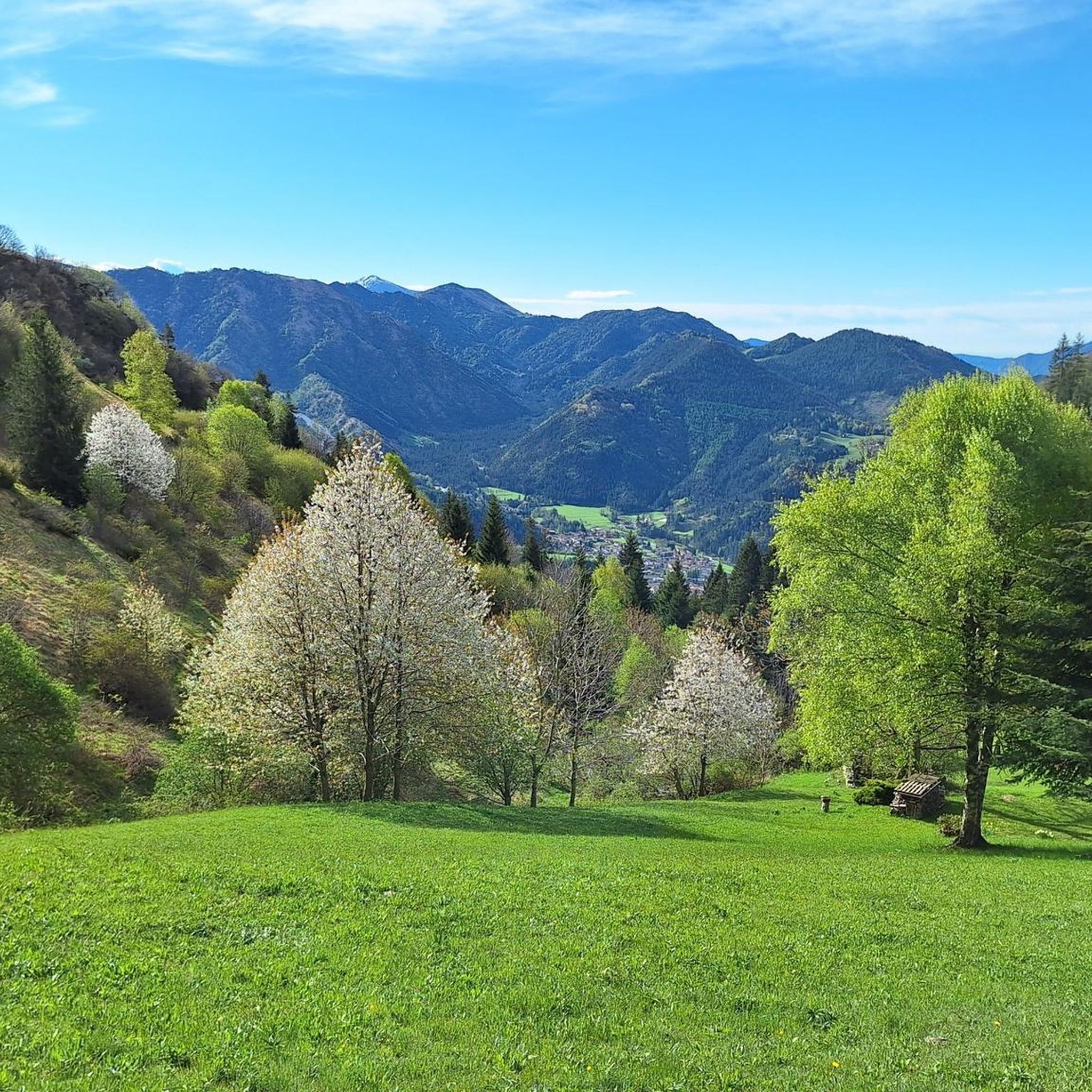
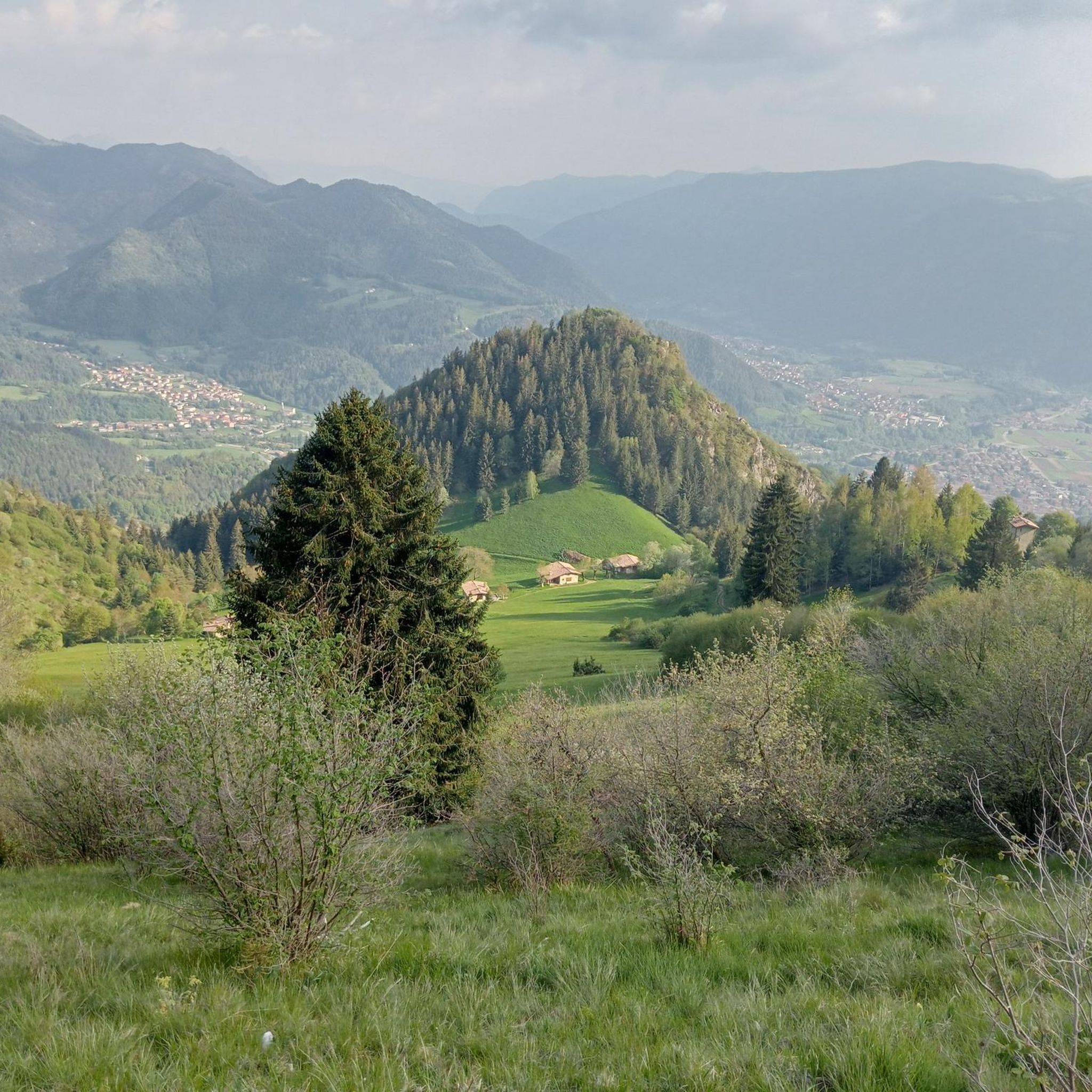
The mountain passes and peaks in the Fino Del Monte area offer breathtaking panoramic views. From Passo degli Agnelli and Olone Pass, you can see the Presolana massif, Valzurio, and Castione. Pizzo Formico provides exceptional vistas of the Prealps, Orobie Alps, Val Seriana, and Val Gandino. The routes often lead through diverse landscapes, from forested paths to open pastures and rugged alpine environments.
Are there any historical sites among the mountain passes?
Yes, the Third Millennium Bell at Forcella Larga is a significant historical site. It marks the ruins of Rif. Capanna Ilaria, which was destroyed in World War II and served as a base for partisans. Today, it's a meeting point for mountaineers from Val Gandino and Valseriana, featuring a monument with a bell.
What is the best time of year to visit the mountain passes around Fino Del Monte?
The mountainous areas around Fino Del Monte are appealing throughout the year. While many passes are popular for hiking in warmer months, some, like Pizzo Formico and Pizzo Corzene, are particularly favored by cross-country skiers in winter. The Presolana Pass is generally open year-round, making it accessible for various activities depending on the season.
Are there family-friendly options for exploring the mountain passes?
While specific 'family-friendly' categories are not explicitly listed for all passes, the region offers a range of hiking and trekking options suitable for different skill levels. Passes like Palio Pass are described as easy climbs, ideal for a leisurely ride or for those new to mountain biking, suggesting less strenuous options might be available for families. It's always recommended to check specific route details for suitability.
What outdoor activities can I do near these mountain passes?
The Fino Del Monte region offers diverse outdoor activities. You can enjoy gravel biking on routes like the Gravel ring from Clusone to Lake Iseo or the Gravel tour in the Seriana Valley. Cycling enthusiasts can explore routes such as the Val Seriana Cycle Path. For hikers, there are trails like the Valzurio forest trail to Rifugio Rino Olmo or stages of the Presolana Trek. You can find more details on these activities in the Gravel biking around Fino Del Monte, Cycling around Fino Del Monte, and Hiking around Fino Del Monte guides.
Are there specific hiking trails near the mountain passes?
Yes, there are several hiking trails that lead to or are near the mountain passes. For example, the Passo degli Agnelli can be easily reached from the Rino Olmo refuge. The Olone Pass is accessible from both Valzurio and Castione. Popular hiking routes in the broader area include the Valzurio forest trail to Rifugio Rino Olmo and various stages of the Presolana Trek. For more hiking options, refer to the Hiking around Fino Del Monte guide.
What do visitors enjoy most about the mountain passes in this region?
Visitors frequently highlight the breathtaking natural beauty and the stunning panoramic views as key attractions. The challenge of ascending to peaks and the diverse landscapes, ranging from forested paths to open pastures and rugged alpine environments, are also highly appreciated. The opportunity to experience memorable sunsets and sunrises from bivouacs like Città di Clusone adds to the appeal.
Are there any amenities like cafes or restaurants near the mountain passes?
While specific amenities directly at every pass are not detailed, the broader region offers facilities. For example, Zambla Pass, which connects Val Seriana and Val Brembana, provides amenities such as a public fountain and a restaurant/bar. Many passes are also accessible from towns like Clusone or Castione della Presolana, where you can find various services.
How long are the typical routes or climbs to these mountain passes?
The length of routes varies significantly depending on the starting point and destination. For instance, the climb to Presolana Pass from Dezzo di Scalve is 7 km long, while the southern side from Rovetta is 12 km. Hiking trails can range from moderate routes like the Valzurio forest trail (around 9.4 km) to more difficult, longer treks such as stages of the Presolana Trek (over 10 km). It's best to check individual route descriptions for precise distances.
Is public transport available to reach the trailheads of these mountain passes?
While specific public transport details to every trailhead are not provided, the region is generally accessible. Major towns like Clusone and Castione della Presolana serve as common starting points for many routes and are likely to have public transport connections. For more remote passes, personal transport or local shuttle services might be necessary. It's advisable to research local transport options for your specific starting point.
Most popular routes around Fino Del Monte
Most popular attractions around Fino Del Monte

Get inspired with the komoot mobile app


Explore more
See even more epic mountain passes by checking out these guides around Fino Del Monte:
