The best MTB trails around Fino Del Monte
4.3
(1147)
5,442
riders
12
rides
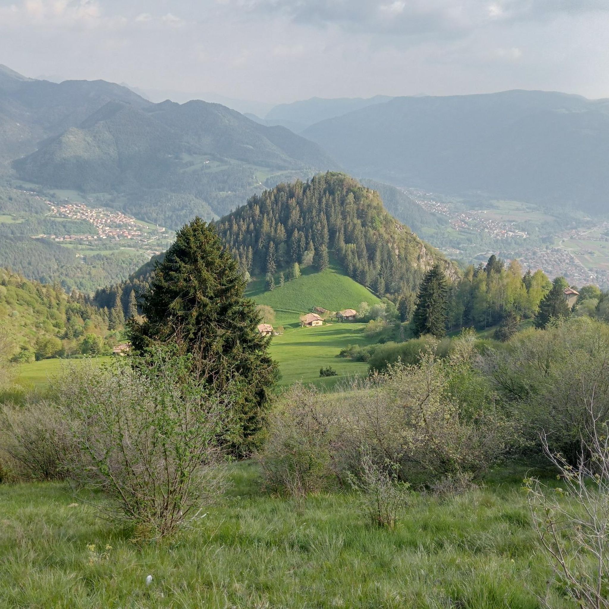
Mountain biking around Fino Del Monte offers a diverse mountainous landscape within the Orobie Park, characterized by significant elevation changes. The region is situated in the Presolana basin, often referred to as the "pearl of the Orobic Prealps," with the imposing Presolana massif reaching 2,521 meters. This area features varied terrain, including challenging ascents and descents, providing a range of experiences for mountain bikers. The landscape includes natural environments influenced by a mid-latitude temperate oceanic climate.
Best mountain bike trails…
Last updated: November 6, 2026
4.6
(17)
65
riders
52.5km
05:48
2,160m
2,160m
Hard mountain bike ride. Very good fitness required. Advanced riding skills necessary. Some portions of the route may require you to push your bike.
4.8
(5)
49
riders
74.2km
06:21
2,230m
2,240m
Hard mountain bike ride. Very good fitness required. Advanced riding skills necessary. Some portions of the route may require you to push your bike.

4.2
(20)
64
riders
29.3km
02:00
360m
360m
Moderate mountain bike ride. Good fitness required. Advanced riding skills necessary.
4.3
(8)
53
riders
30.7km
02:33
650m
660m
Moderate mountain bike ride. Good fitness required. Advanced riding skills necessary.
4.2
(6)
29
riders
17.1km
01:06
150m
150m
Easy mountain bike ride.
Get access to more routes and recommendations from other explorers.
Already have an account?
Our route recommendations are based on thousands of hikes, rides, and runs completed by other people on komoot.
Start today with a free account
Your next adventure awaits.

Tips from the Community

Initially flat dirt path without any technical difficulty. At the first junction, turn left and then immediately right to take the steep ascent of the Res, leaving the track that climbs into the Tede Valley. After an initial section with a slight gradient, the climb begins, always in double digits, which in some sections approaches 20%. Mostly it is on paving stones and cement, easily passable with good legs. You encounter, however, three technical sections, although only a few tens of meters long (20/30 meters maximum per section), of dirt with large gravel, exposed rocks, and big stones. They require a firm wrist and great riding skill. Personally, I managed to get over two of them while seated, in the easiest gear, hopping between the various boulders. One section, the second one, I had to do on foot, pushing the Mtb, because I encountered a biker coming down on that section, to whom I gave way, stopping, to avoid a possible collision. It was impossible to restart on the section due to the circumstances, but possible on the following paved section. After two steep hairpin bends, you pass the upper Colombera farmhouse and the road levels out with a gravelly dirt track, to reach Castione, Loc. Agro after a few hundred meters. From where I rejoined, descending, the paved main road.
13
0

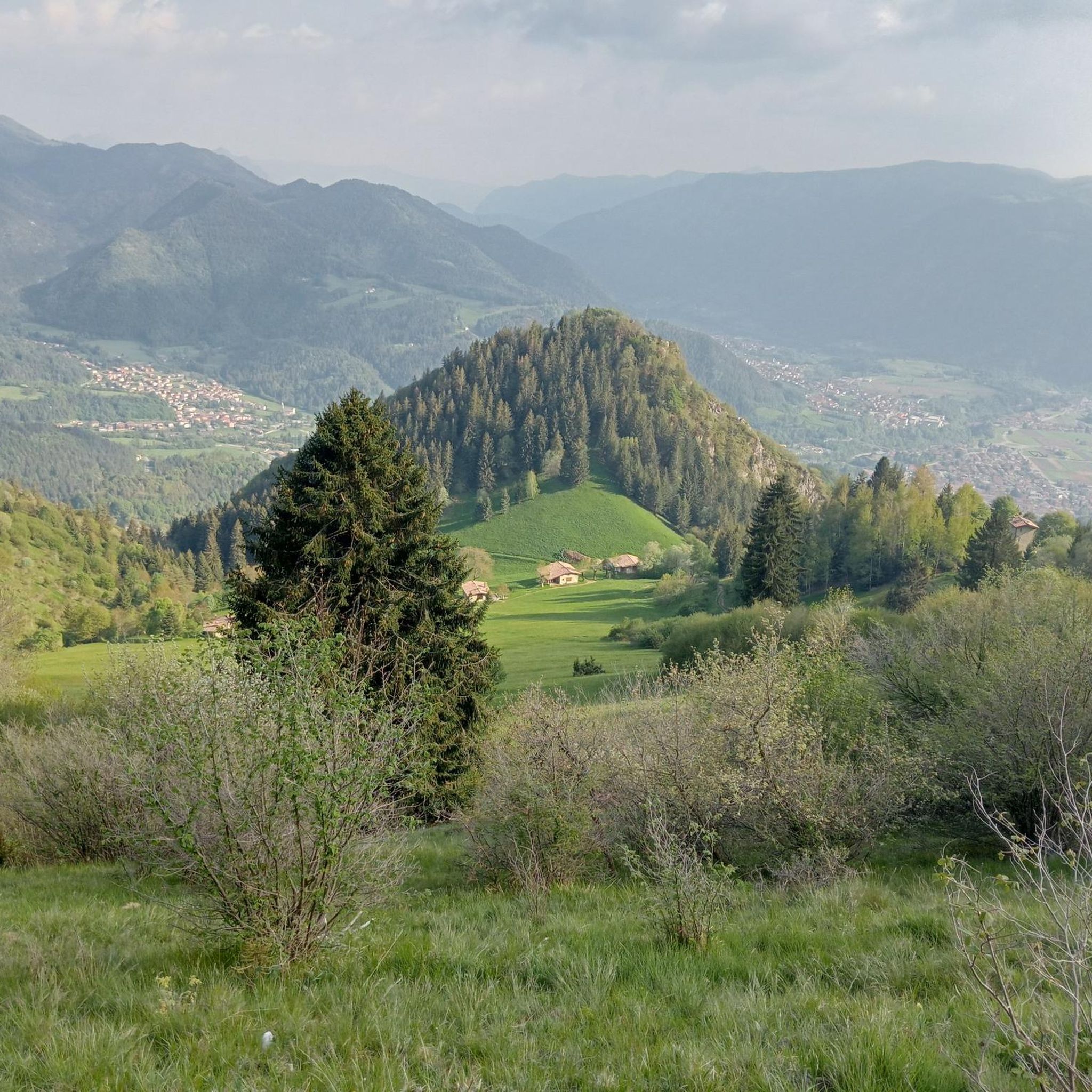
Pozza Crus is a grassy and panoramic area located around 1,280–1,300 m altitude, reached by various hiking trails, particularly the CAI 545, which connects Barzizza → Monte Farno → Campo d’Avene → Monte di Sovere. It is a well-known transit point for hikers in Val Gandino and Val Seriana.
0
0
viewpoint before Monte Sparavera
0
0

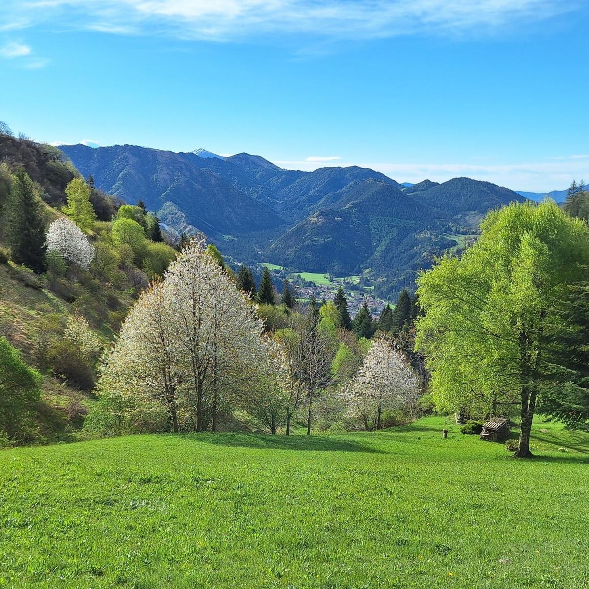
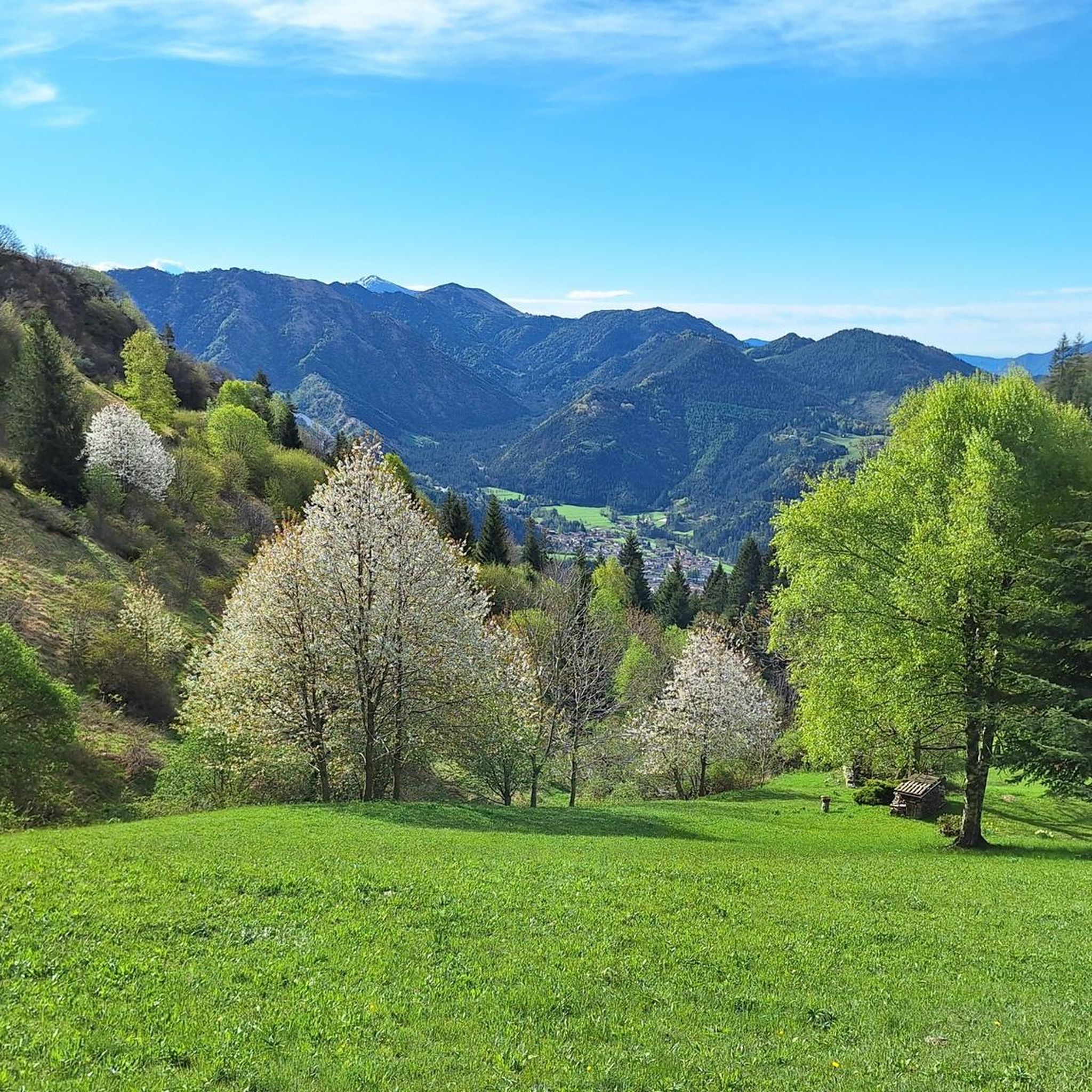
It is not necessary to go all the way to the top of Sparavera. Already from this position the view of the lake is fantastic. The flowering meadows and the dense tree canopies scattered here and there invite you to stop and perhaps even have a snack and a nap! Please always behave decently and take your rubbish with you!
0
0

We were walking by when we noticed a courtyard... we poked our heads in and... a very kind lady invited us to see the exhibition of local artists. What a pleasant break and what an interesting discovery. While we were looking at the various works, a second very elegant lady entered and told us about Casa MATTEO, another launching point for young artists. In short, in just a few minutes we discovered local artists and fantastic people who help young people develop their talents!!!
0
0
Pretty little lake in the Vogno area, equipped with a walkway around the perimeter and a rest area with benches and picnic tables.
13
0


Beautiful as a path even if I don't understand what sense there is in putting pieces of Dante's Inferno...
0
0
Frequently Asked Questions
What types of mountain bike trails can I expect around Fino Del Monte?
Fino Del Monte offers a diverse range of mountain bike trails, from moderate to difficult, with significant elevation changes. The terrain includes challenging ascents and descents, utilizing the mountainous landscapes of the Orobie Park and the Presolana basin. You'll find paths suitable for various skill levels, with 11 easy, 52 moderate, and 81 difficult routes available.
Are there any easy or beginner-friendly mountain bike trails in Fino Del Monte?
Yes, Fino Del Monte has options for beginners. There are 11 easy mountain bike routes available, providing a gentler introduction to the region's trails. These routes allow you to enjoy the scenic environment without the demanding elevation gains of the more advanced paths.
What are some challenging mountain bike trails for experienced riders?
Experienced riders will find plenty of challenging options. For instance, the Rino Olmo Hut – Presolana Pass loop from Castione della Presolana is a difficult 21.5 km trail with over 1,000 meters of elevation gain. Another demanding route is the Valzurio Village – Baite del Möschel loop from Valzurio, covering 19.8 km with 936 meters of ascent.
Are there mountain bike trails with scenic viewpoints in Fino Del Monte?
Absolutely. The region is known for its stunning mountainous backdrop, including the imposing Presolana massif. The Falecchio Pastures – View of Lake Iseo loop from Fino del Monte offers panoramic views, including glimpses of Lake Iseo. Many trails traverse high-altitude areas, providing expansive vistas of the Orobie Prealps.
What can I see along the mountain bike trails around Fino Del Monte?
Beyond the natural beauty, you can encounter various points of interest. For example, you might pass by the Summit of Pizzo Formico or the Savina Chapel. The area also features natural monuments like the Giant's Kettles of Valzurio and historical sites such as the Old Via Mala Road and Tunnels.
Are there any loop mountain bike trails in the Fino Del Monte area?
Yes, many of the mountain bike trails around Fino Del Monte are designed as loops, allowing you to start and finish in the same location. Examples include the The Throne on Presolana – Historic Center of Clusone loop from Fino del Monte and the Rifugio Alt – Monte Blum loop from Clusone.
What is the best time of year for mountain biking in Fino Del Monte?
Fino Del Monte experiences a mid-latitude temperate oceanic climate. The best time for mountain biking is typically during the warmer, drier months, from late spring through early autumn, when trails are clear of snow and weather conditions are most favorable for outdoor activities in mountainous terrain.
What do other mountain bikers enjoy the most about mountain biking in Fino Del Monte?
The area is highly rated by the komoot community, with an average score of 4.4 stars from over 800 reviews. Reviewers often praise the diverse mountainous landscape, the challenging elevation gains, and the variety of terrain that caters to different skill levels, all set within the beautiful Orobie Park.
Is there public transport available to access mountain bike trails in Fino Del Monte?
While specific public transport routes directly to trailheads can vary, Fino Del Monte is a municipality within the Province of Bergamo. It's advisable to check local bus schedules or regional transport options that connect to towns like Castione della Presolana or Valzurio, which serve as starting points for several routes.
Are there cafes or pubs near the mountain bike trails in Fino Del Monte?
Fino Del Monte and nearby villages like Castione della Presolana and Valzurio offer local amenities. You can typically find cafes and pubs in these towns, providing opportunities for refreshments before or after your ride. Some routes might also pass by mountain huts or refuges where you can stop for a break.
Are there any historical or cultural sites to explore near the mountain bike trails?
Yes, Fino Del Monte itself has a medieval layout with historic buildings, including the ancient Castle of the Da Fin and the fifteenth-century Church of San Salvatore. These sites offer a cultural experience when you're not on the trails. The nearby Val Seriana also presents scenic views and historical interest.
Most popular routes around Fino Del Monte
Most popular attractions around Fino Del Monte

Get inspired with the komoot mobile app


Explore more
Browse the best MTB trails in other regions.
