The best walks and hikes around Traunstein
4.5
(53985)
244,479
hikers
3,230
hikes
Hiking around Traunstein offers diverse landscapes in Upper Bavaria, characterized by the foothills of the Bavarian and Chiemgau Alps. The region features numerous lakes, including the expansive Chiemsee, along with the Traun River, lush forests, and rolling meadows. Hikers can explore scenic hilly terrain and natural features like the Klausenbachklamm canyon. This varied topography provides a range of hiking experiences from lakeside strolls to mountain ascents.
Best hiking trails around Traunstein
- The most popular hiking route is Premium hiking trail…
Last updated: September 23, 2026
4.8
(1163)
5,252
hikers
16.0km
06:24
1,060m
1,060m
Hard hike. Very good fitness required. Mostly accessible paths. Sure-footedness required.
4.6
(891)
3,082
hikers
9.87km
03:32
250m
250m
Moderate hike. Good fitness required. Mostly accessible paths. Sure-footedness required.

4.7
(819)
2,870
hikers
7.02km
01:51
70m
60m
Easy hike. Great for any fitness level. Easily-accessible paths. Suitable for all skill levels.
4.8
(487)
1,842
hikers
7.45km
03:22
530m
530m
Moderate hike. Good fitness required. Mostly accessible paths. Sure-footedness required.
4.7
(466)
1,573
hikers
9.95km
03:23
510m
520m
Moderate hike. Good fitness required. Mostly accessible paths. Sure-footedness required.
4.8
(357)
1,746
hikers
5.93km
02:03
140m
140m
Moderate hike. Good fitness required. Easily-accessible paths. Suitable for all skill levels.
4.8
(236)
1,102
hikers
19.8km
09:24
1,150m
1,150m
Hard hike. Very good fitness required. Mostly accessible paths. Sure-footedness required.
4.5
(170)
656
hikers
9.46km
03:40
410m
420m
Moderate hike. Good fitness required. Mostly accessible paths. Sure-footedness required.
4.8
(178)
658
hikers
12.6km
04:44
660m
660m
Hard hike. Good fitness required. Sure-footedness, sturdy shoes and alpine experience required.
4.7
(160)
543
hikers
17.7km
05:46
760m
760m
Hard hike. Very good fitness required. Mostly accessible paths. Sure-footedness required.
Get access to more routes and recommendations from other explorers.
Already have an account?
Our route recommendations are based on thousands of hikes, rides, and runs completed by other people on komoot.
Start today with a free account
Your next adventure awaits.
Popular around Traunstein
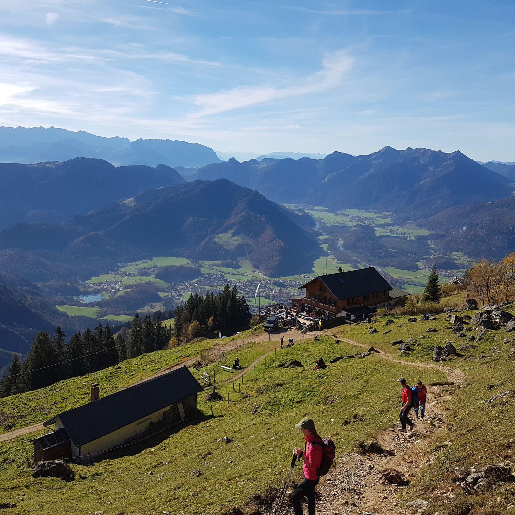
Hiking in the Chiemgau
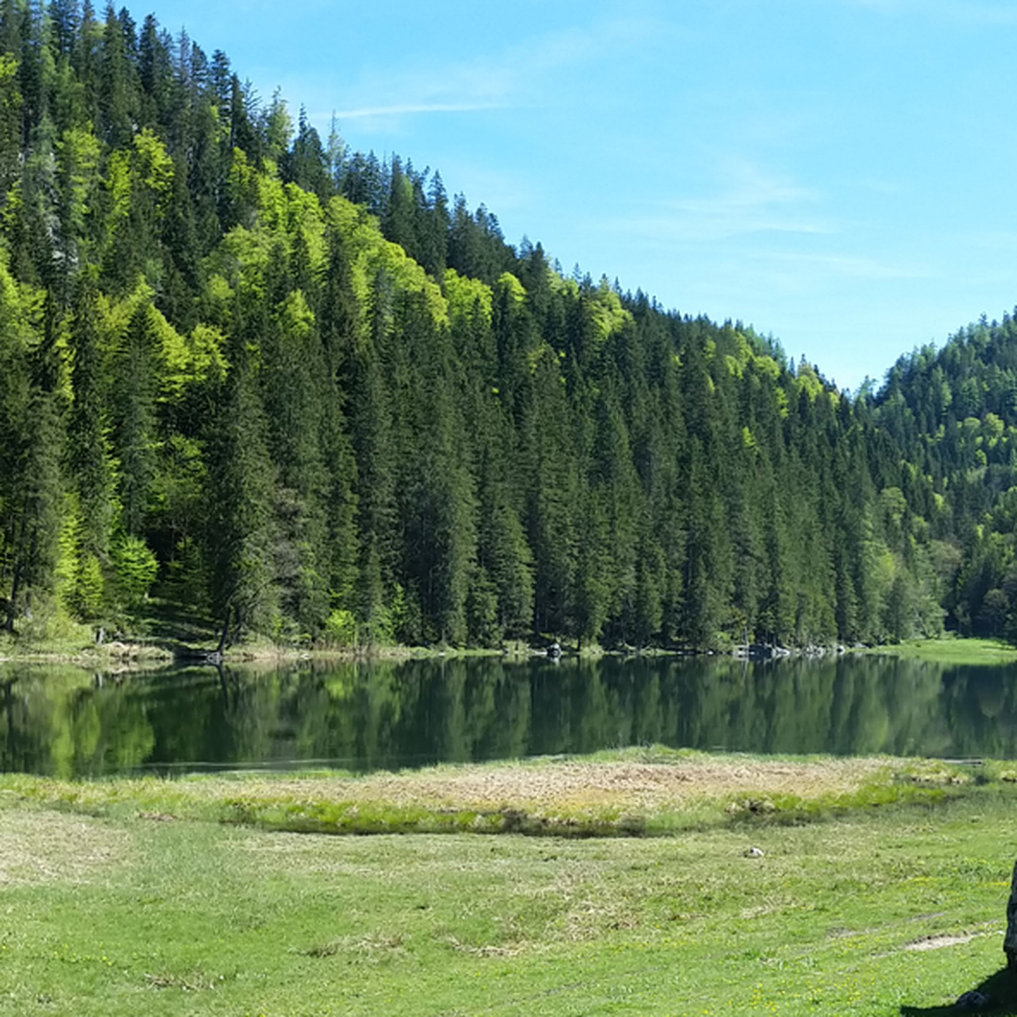
Hiking around Reit im Winkl
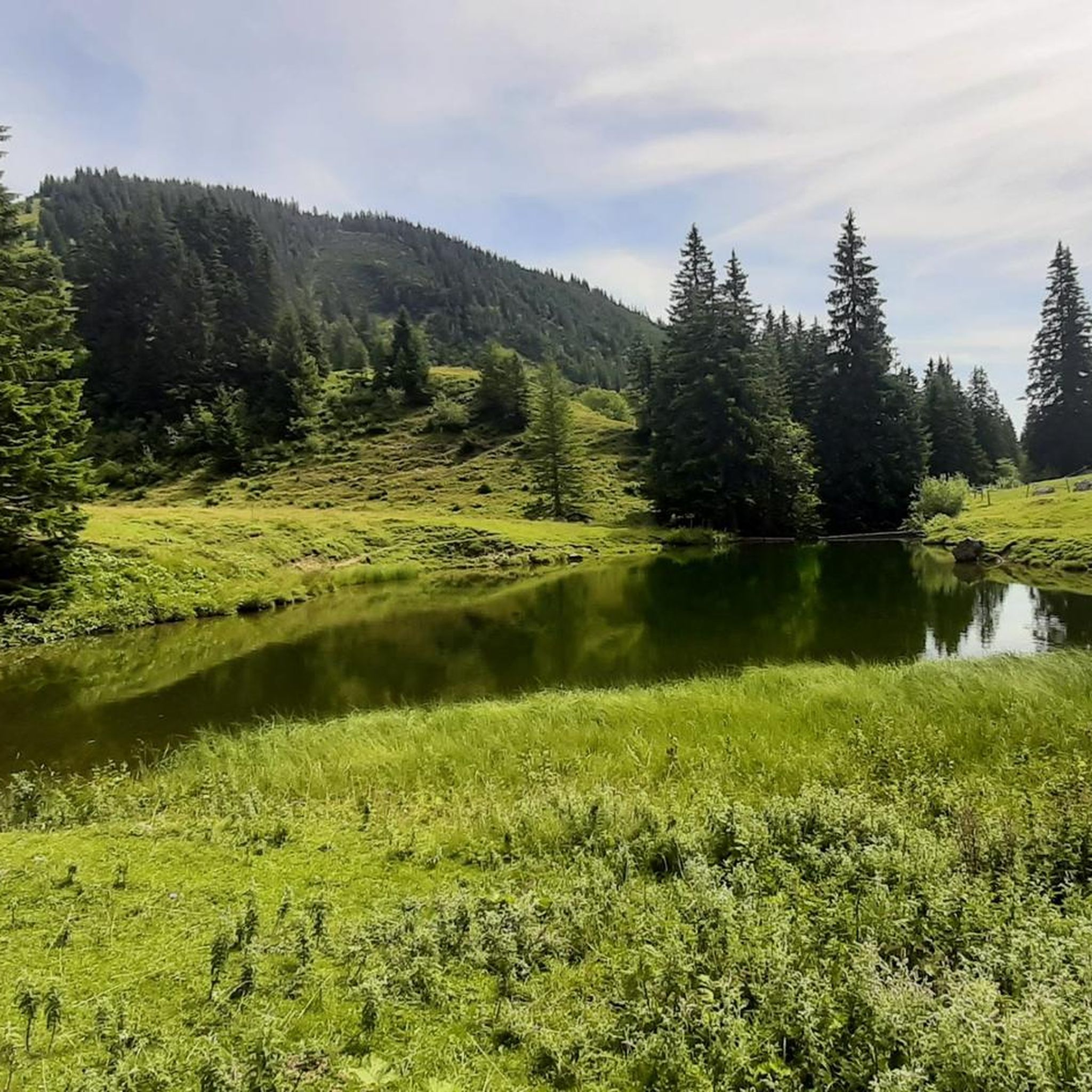
Hiking around Geigelstein
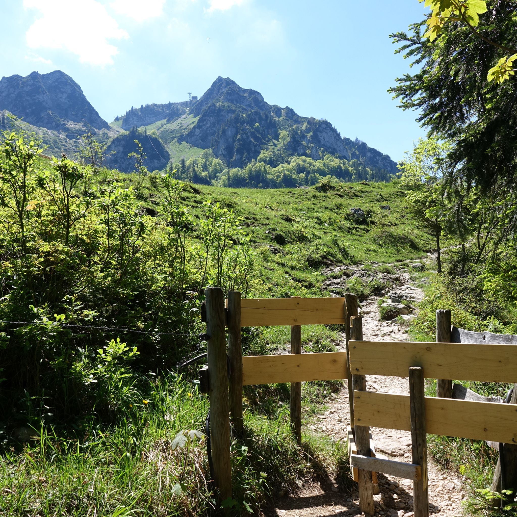
Hiking around Oberwössen
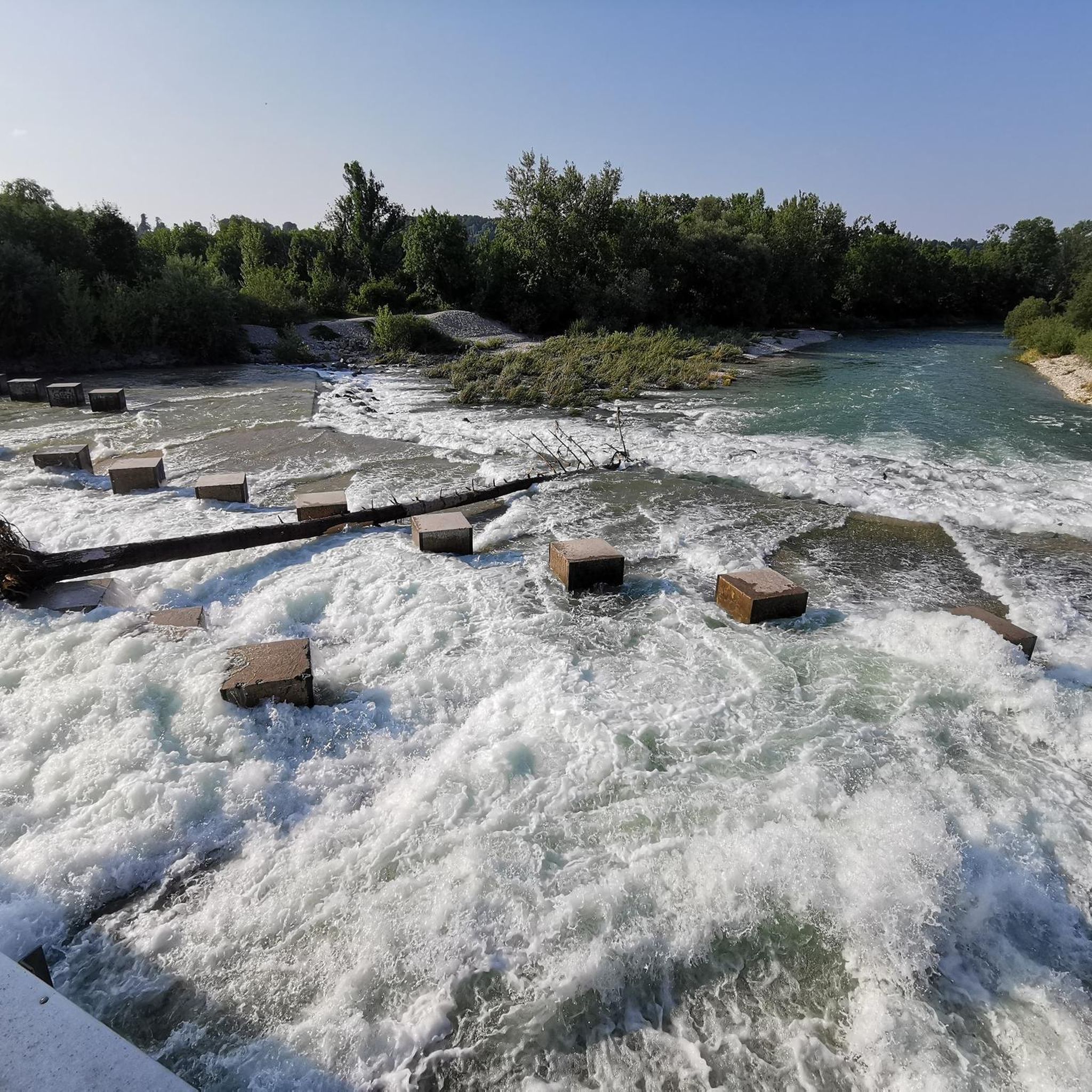
Hiking in Eigelwald
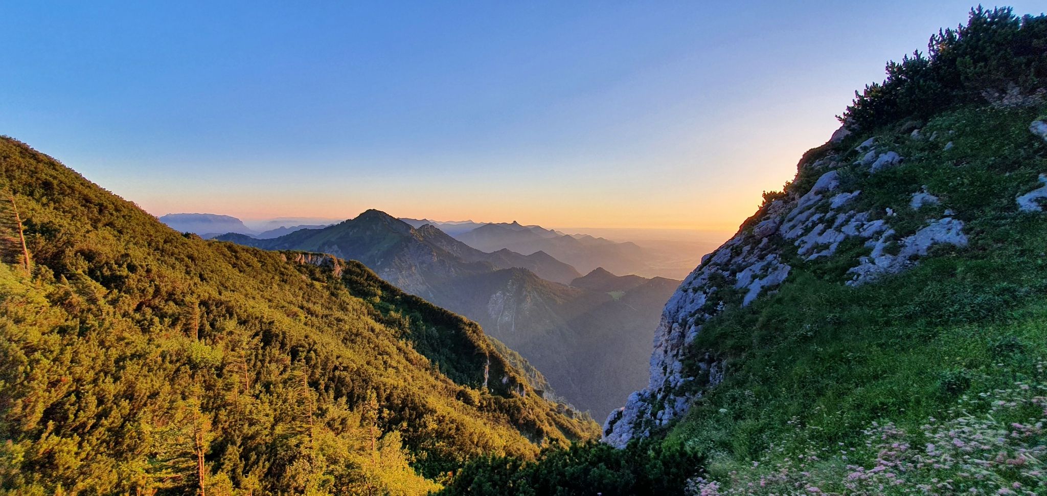
The SalzAlpenSteig – On the tracks of white gold

Maximilian Trail in Germany — Lake Constance to Königssee
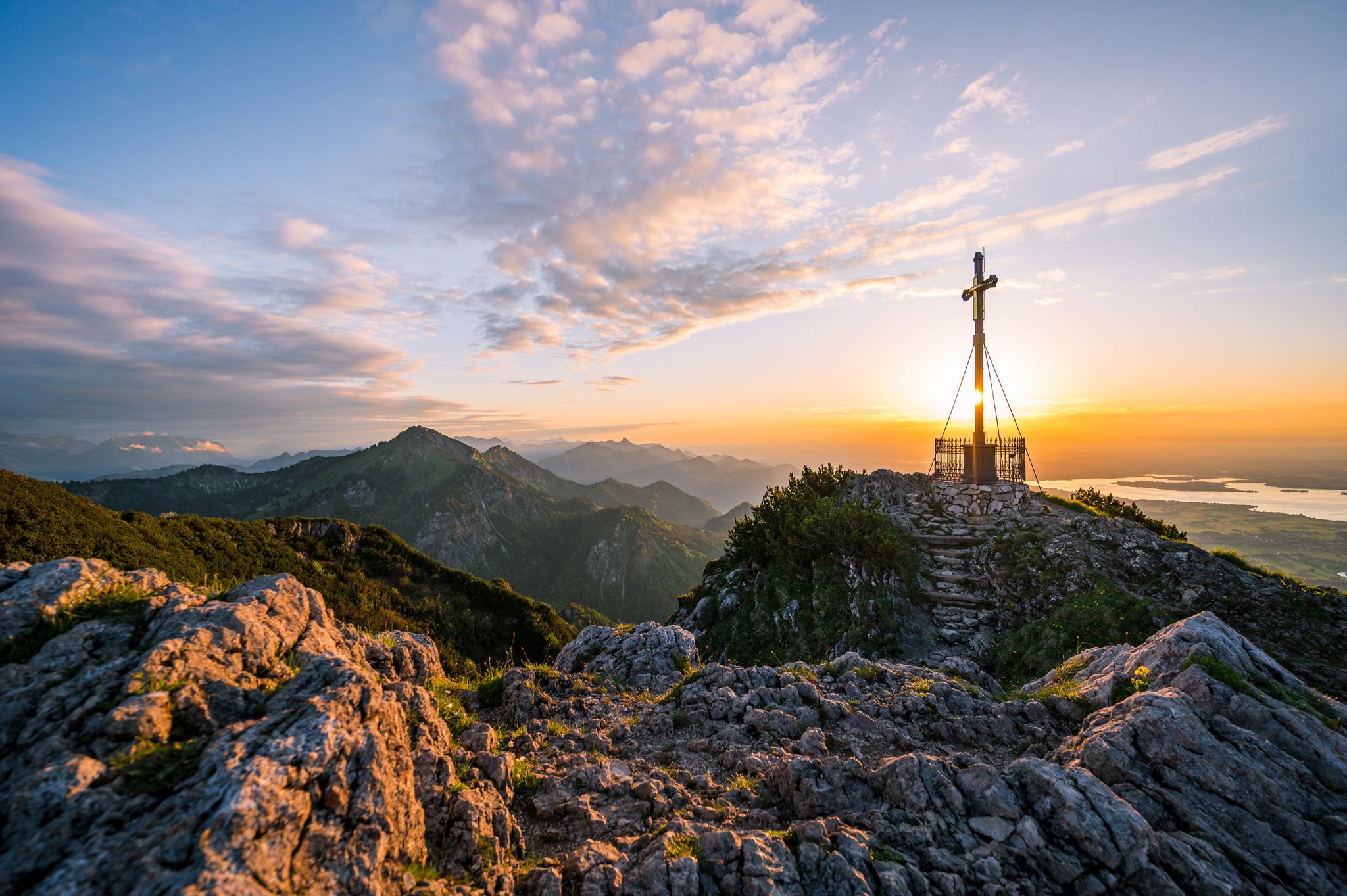
Autumn in Chiemgau – an atmospheric hiking break for two

Hiking through Bavaria's cultural landscapes
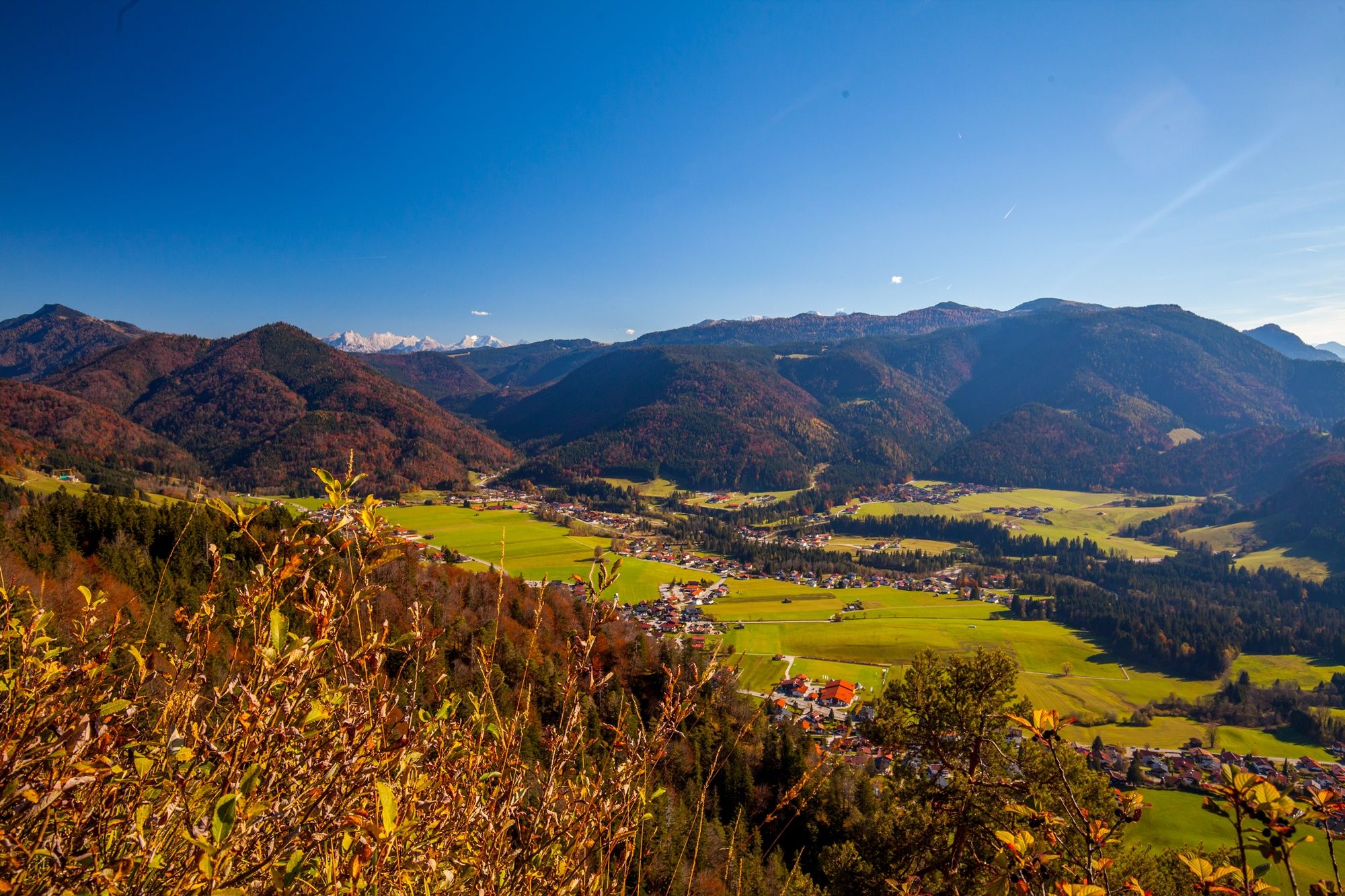
Autumn time, hiking time – seven Tours in Reit im Winkl
Other adventures around Traunstein


Tips from the Community

You can leisurely drift through the forest here. The path connects Ober- and Unterwössen with Reit im Winkl. The trail climbs gently over long stretches and is wide enough for hikers and cyclists to share.
1
0
Here, the branches clear the view of Unterwössen and the Chiemgau mountain world. After the ice age glaciers melted around 10,000 years ago, a mountainside broke off at the Hochlerch. The debris landed in the valley and blocked the outflow to the north. The meltwater accumulated on the valley floor to form a lake. It's hard to imagine that everything here was once underwater. Today, you have a great view of the wide valley.
2
0
Here at around 1,570 meters, a good kilometer west of the Hochgern summit, you have a fantastic view of the Chiemsee. In clear visibility, the large Herreninsel with the unfinished Versailles of the fairy-tale king Ludwig II, the romantic Fraueninsel with the Frauenwörth monastery, and the uninhabited Krautinsel are clearly visible.
2
0

A varied hiking trail that is nicely cool and has many small and one large waterfall.
1
0

From the Dichtleralm, you have a truly charming view of the Kaisergebirge – especially in clear air. The Alm is situated so that from the meadows and clearings, you have an unobstructed view towards the south and southwest of the distinctive peaks of the Wilder Kaiser. The summits with their steep rock faces stand out clearly.
3
0
Not far from the Stoibenmöseralm, you can enjoy a particularly idyllic view. Lush alpine meadows and the gentle hills of the Chiemgau Alps spread out before you, with the Chiemsee shimmering in the distance behind them. The spot invites you to linger – perfect for feeling the tranquility of nature and letting your gaze wander over the "Bavarian Sea" and the surrounding landscape.
2
0
The Hausbach Waterfall, just a short walk from the town center, offers a unique natural experience. Nestled in a wildly romantic gorge, the Hausbach stream cascades down several steps, creating an impressive natural spectacle, especially in spring and after rainfall. A narrow hiking trail leads along the stream, past rock faces, moss-covered stones, and cool, shady spots that offer welcome refreshment on hot summer days. The waterfall is also part of the "Waterfall Trail," a short, easy circular hike that's also ideal for families. Reit im Winkl thus combines the picturesque beauty of a traditional mountain village with the powerful natural beauty of the Hausbach Waterfall.
2
0

Frequently Asked Questions
What kind of hiking terrain can I expect around Traunstein?
The Traunstein region offers a diverse landscape, from the foothills of the Bavarian and Chiemgau Alps to expansive lakes like Chiemsee. You'll find lush forests, rolling meadows, and scenic hilly terrain. Natural features include the Traun River, picturesque lakes such as Tüttensee and Loedensee, and impressive canyons like the Klausenbachklamm. Hikers can experience everything from gentle lakeside paths to more challenging alpine ascents.
Are there hiking options for all skill levels in Traunstein?
Yes, Traunstein provides a wide range of hiking trails suitable for all abilities. You can find over 1,600 easy routes for leisurely strolls, around 1,200 moderate trails, and over 350 more challenging expeditions. Whether you prefer a relaxed walk or a demanding mountain climb, there's a path for you.
When is the best time of year to go hiking in Traunstein?
The best seasons for hiking in Traunstein are spring and autumn. During these times, temperatures are mild, and the natural scenery is particularly vibrant, with blossoming forests in spring and colorful foliage in autumn. While summer is also popular, some trails can be more crowded.
Are there any circular hiking trails in the Traunstein area?
Yes, many trails in Traunstein are designed as circular routes. For an easy option, consider the Falkenstein round, which offers scenic views. More challenging circular options include the Hochgern - Staudacheralm - Schnappenkirche alpine circular trail, or the Wasserwandl Wasserfall and Hinteralm Loop for experienced hikers.
Can I find hikes with waterfalls or gorges in Traunstein?
Absolutely. The region is home to several impressive natural water features. You can explore the notable canyon landscape on the Premium hiking trail Klausenbachklamm. Other highlights include the Wasserwandl Wasserfall and the Klausenbachklamm canyon itself. For more waterfalls, consider visiting the Hausbach Waterfall or the Weissbach Falls.
Are there family-friendly hiking trails suitable for children?
Yes, Traunstein offers several family-friendly options. Easy trails like the Falkenstein round are great for a relaxed outing. The Mountain forest adventure trail at Frillensee is another excellent choice, providing an engaging experience for younger hikers. The 'Kneippweg' along the Traun River also offers a relaxing walk with facilities for children to enjoy.
What are some notable landmarks or viewpoints I can see while hiking?
Traunstein is rich in natural landmarks and offers spectacular viewpoints. You can hike to various summits like the Hochfelln Summit Cross or the Hochgern summit cross for panoramic views. The Traunstein mountain itself, often called the 'Guardian of the Salzkammergut,' provides impressive vistas. The Premium hiking trail Chiemseeblick offers stunning views of the expansive Chiemsee lake.
Are there any challenging hikes for experienced mountaineers?
For experienced hikers, Traunstein offers several demanding routes. The Dürrnbachhorn summit hike leads through alpine terrain. The Hochgern - Staudacheralm - Schnappenkirche alpine circular trail is a difficult route with significant elevation gain. The ascent to the 'Hochfelln Gipfel' (1674 meters) promises spectacular panoramic views, and the Traunstein mountain itself offers strenuous climbs like the Naturfreundesteig.
What do other hikers enjoy most about hiking in Traunstein?
The hiking trails around Traunstein are highly rated by the komoot community, with an average score of 4.5 stars from over 44,000 reviews. Hikers frequently praise the diverse landscapes, from serene lakeside paths to challenging alpine ascents, and the stunning natural features like the Klausenbachklamm canyon and the panoramic views from mountain peaks.
Are there trails that pass by lakes or offer water activities?
Yes, the Traunstein region is known for its numerous pristine lakes. The expansive Chiemsee is perfect for swimming and sailing in summer. Other picturesque lakes include Tüttensee, Waging am See, Taching am See, Loedensee, Mittersee, Weitsee, Klostersee, and Griessee. Many easy trails, such as the Chiemsee Rundweg Tour 3 Loop or the Klostersee Loop, offer pleasant walks along these beautiful waters.
Can I find hikes that include mountain pastures or alpine huts?
Certainly. Many routes in the region lead through or to traditional mountain pastures. For example, the Hike to the Rechenbergalm via Feldlahnalm takes you through scenic alpine landscapes. The Hike to the Grassau and Rottau mountain pastures is another great option to experience the local alpine culture and enjoy refreshments at an alm.
Are there any long-distance or pilgrim routes passing through Traunstein?
Yes, the Traunstein region is part of longer-distance routes. Sections of the historic St. Rupert Pilgrim Route and the scenic SalzAlpenSteig both pass through the area, offering opportunities for multi-day treks or longer day hikes along these established paths.
Most popular routes around Traunstein
Most popular attractions around Traunstein

Get inspired with the komoot mobile app


Didn’t find what you were looking for?
Check out more Hikes throughout Traunstein below and find the perfect route in your destination.
Explore more
Browse the best Hikes in other regions.
