The best road cycling routes around Filattiera
4.6
(68)
1,846
riders
12
rides
Road cycling around Filattiera, located in Tuscany's Lunigiana region, offers diverse terrain for cyclists. The area features flat routes along the Magra River plain, characterized by agricultural landscapes and easy paths. More challenging rides ascend into the Apennine Mountains, providing climbs and descents through hills and ancient chestnut forests. Routes often connect medieval villages and historical sites, blending natural beauty with cultural landmarks.
Best road cycling routes around Filattiera
- The most popular road cycling route is Historic Center of Pontremoli…
Last updated: July 1, 2026
5.0
(1)
61
riders
63.0km
03:50
1,410m
1,410m
Hard road ride. Very good fitness required. Mostly well-paved surfaces and easy to ride.
4.0
(2)
102
riders
93.8km
05:06
1,870m
1,870m
Hard road ride. Very good fitness required. Some segments of this route may be unpaved and difficult to ride.

Sign up for free
43
riders
Moderate road ride. Good fitness required. Mostly well-paved surfaces and easy to ride.
5.0
(1)
79
riders
111km
05:23
1,530m
1,530m
Hard road ride. Very good fitness required. Mostly well-paved surfaces and easy to ride.
5.0
(2)
30
riders
Moderate road ride. Good fitness required. Mostly well-paved surfaces and easy to ride.
Get access to more routes and recommendations from other explorers.
Sign up for free
Already have an account?
Our route recommendations are based on thousands of hikes, rides, and runs completed by other people on komoot.
Start today with a free account
Your next adventure awaits.
Login or Signup
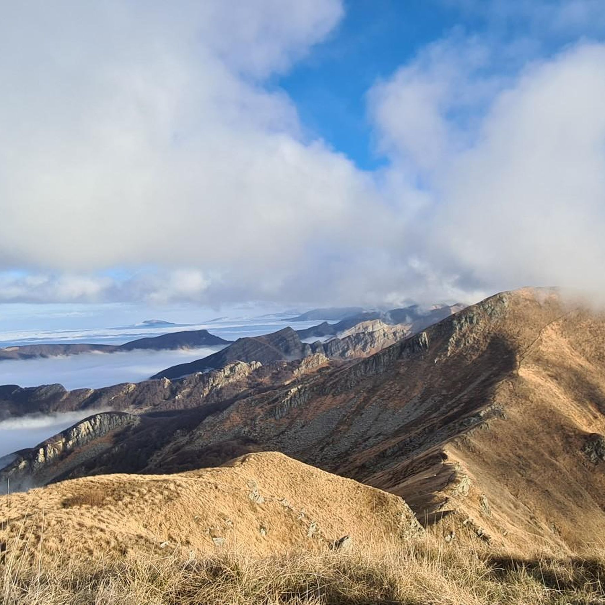
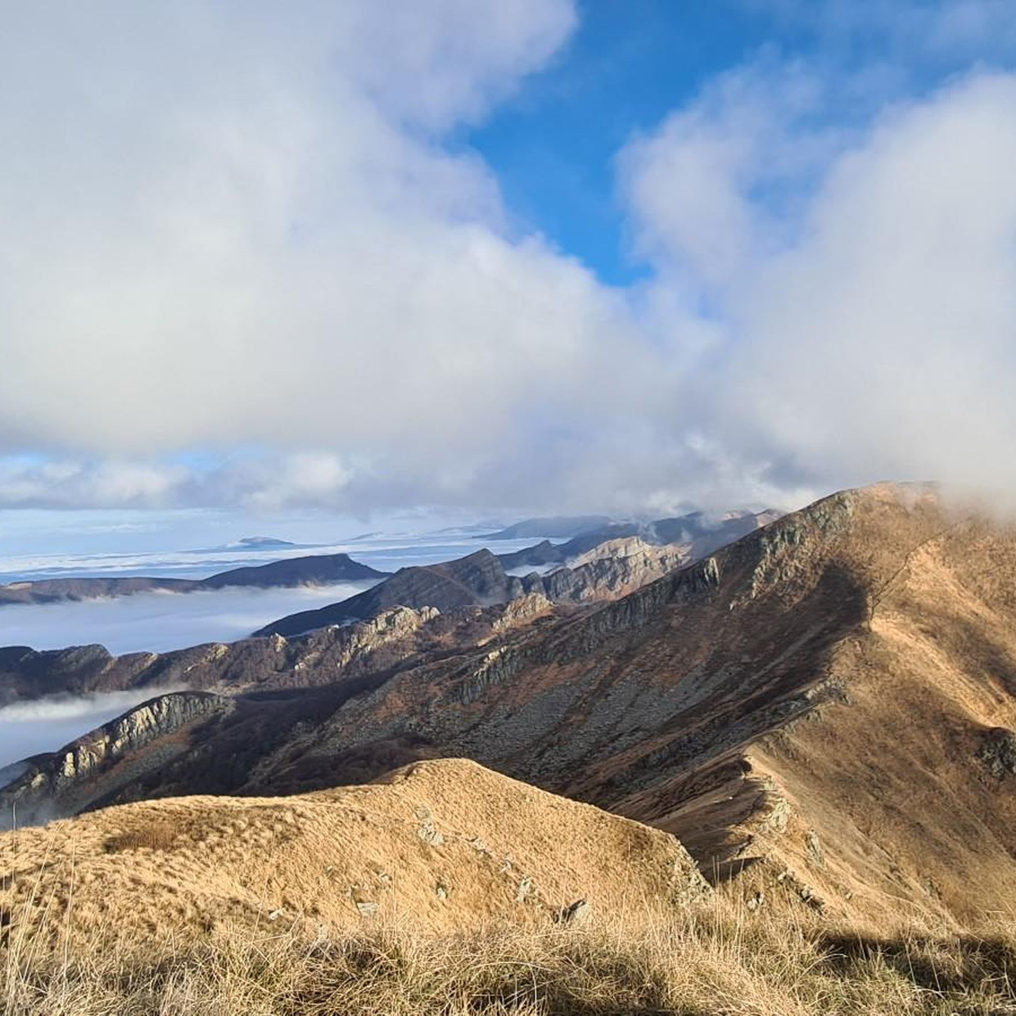
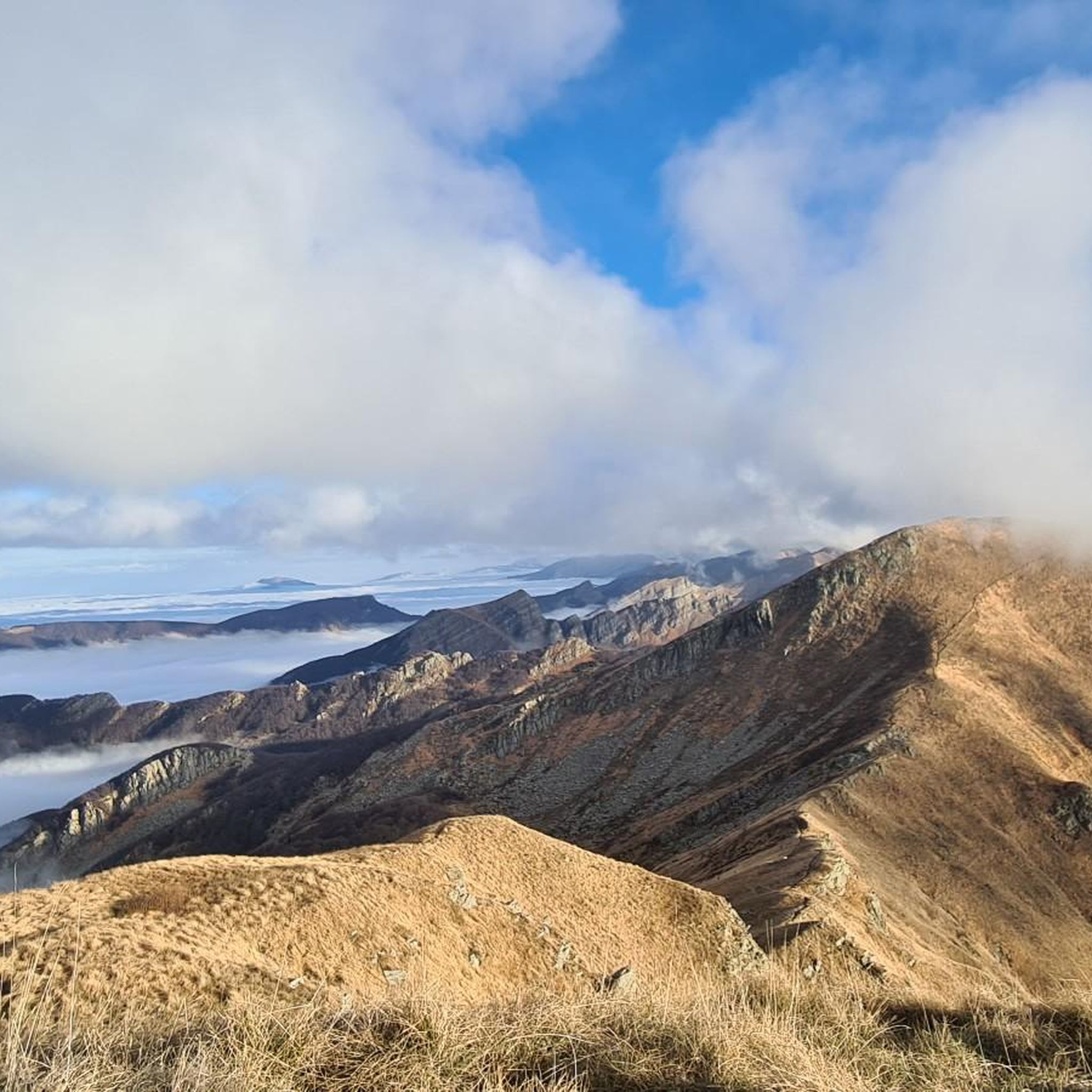
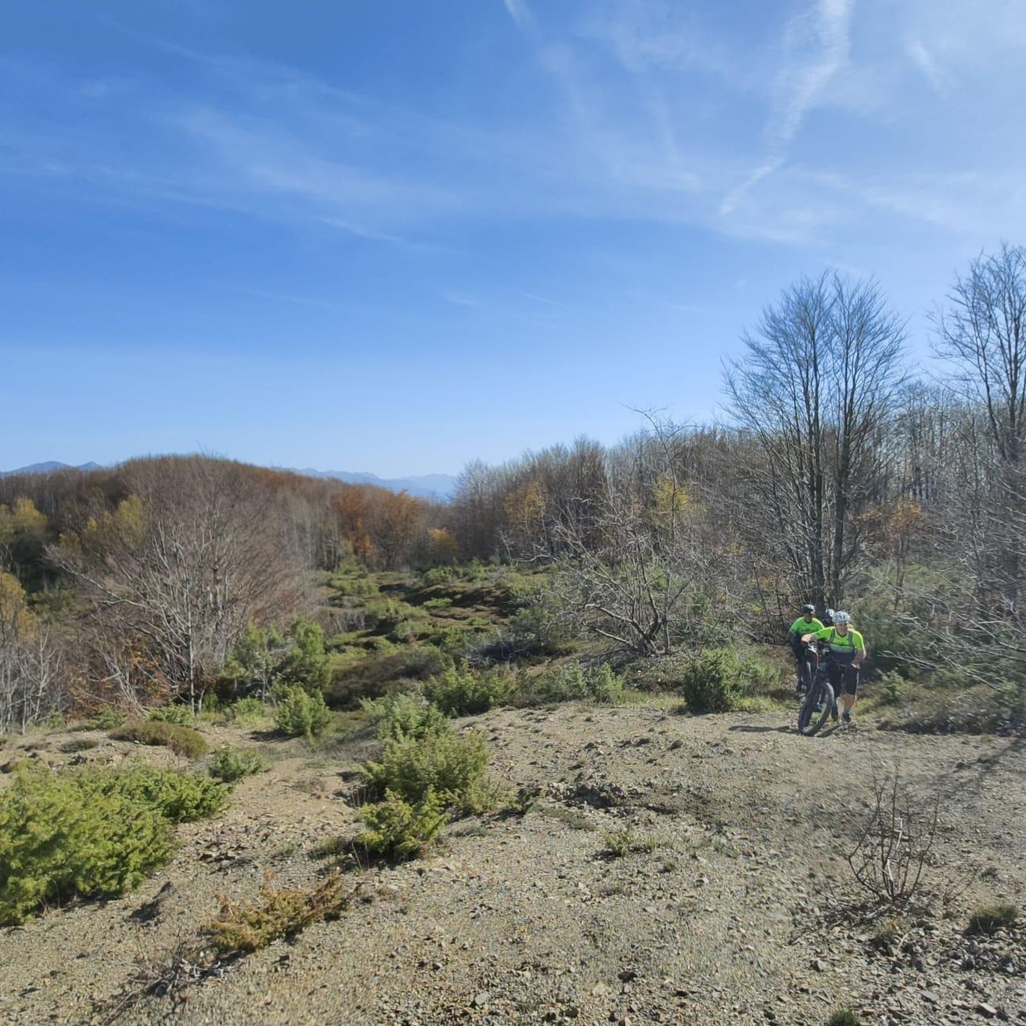


Tips from the Community

Bar and hostel, great after the long climb
0
0

The lake of Gramolazzo is a lake in the Apuan Alps located near the homonymous village in the municipality of Minucciano. Of artificial origin, it was created in the second half of the 1900s, together with the lake of Vagli by SELT Valdarno for the hydroelectric use of the Serchio river and its tributaries. The lake, which has a surface area of one square kilometer and a volume of 3.8 million cubic meters, has both the Serchio di Gramolazzo as its inflow and outflow, one of the two branches that, joining near Piazza al Serchio, form the Tuscan river. Another important stream that flows into the lake is the Acqua Bianca stream, which coming from Mount Pisanino crosses the village of Gorfigliano. A large part of the water, however, is fed through a channel on the left bank, near the dam, which with a maximum flow rate of 20 cubic meters per second discharges the waters captured from the Serchio into the Sillano valley. The waters of the lake of Gramolazzo feed the Fabbriche power plant which in turn discharges them into the lake of Vagli.
0
0

Berceto is an ancient and charming Apennine village located at 852 meters above sea level in the province of Parma, in the heart of Emilia-Romagna. It has just under 2,000 inhabitants and is historically renowned for being the last stage of the Via Francigena in the Emilian territory before the Cisa Pass, which leads towards Tuscany.
0
0
The Passo della Cisa is a mountain pass in the Tuscan-Emilian Apennines, located at 1,041 meters above sea level, which serves as the geographical and historical border between the provinces of Parma (Emilia-Romagna) and Massa-Carrara (Tuscany). It formally separates the Ligurian Apennines from the Tuscan-Emilian Apennines, connecting the upper Val di Taro with Lunigiana. Strada Statale 62: The SS 62 della Cisa is the historic panoramic road that crosses the pass, famous among motorcyclists and cyclists for its hairpin bends and evocative views. Slopes: The Tuscan side from Pontremoli is 18 km long with slopes up to 8.5%, while the Emilian side from Ghiare di Berceto measures approximately 19.6 km with slopes up to 8%.
0
0
Ponzanello is a charming fortified medieval village located in the municipality of Fosdinovo, in the province of Massa-Carrara (Tuscany), strategically positioned on the road connecting Fosdinovo to Aulla. Known for its triple ring of walls and castle, it offers a panoramic view of the Apuan Alps.
0
0

IN springDefinitely worth a visit
0
0
Definitely to do, fantastic road
0
0
To the left you turn for mount Valoria. To be done
1
0
Frequently Asked Questions
How many road cycling routes are available around Filattiera?
There are 17 road cycling routes around Filattiera, offering a variety of experiences for different skill levels. These routes are highly rated by the komoot community, with an average score of 4.5 stars.
What kind of terrain can I expect when road cycling in Filattiera?
Filattiera offers diverse terrain, from flat routes along the Magra River plain, characterized by agricultural landscapes, to more challenging climbs and descents in the Apennine Mountains. You'll also find routes winding through ancient chestnut forests and past medieval villages.
Are there road cycling routes suitable for beginners in Filattiera?
Yes, Filattiera has 2 easy road cycling routes. The flat, agricultural landscape of the Magra River plain provides less strenuous rides, often on easy paths, making them suitable for those seeking a gentler experience.
What are some challenging road cycling routes for experienced riders in Filattiera?
For experienced riders seeking a challenge, there are 6 difficult routes. One such route is the Historic Center of Pontremoli loop from Filattiera, which covers 39.2 miles (63.0 km) and features significant elevation gain.
Are there family-friendly road cycling options in Filattiera?
Yes, the routes through the flat Magra River plain are often suitable for families, offering easy paths through agricultural landscapes. These areas provide a less strenuous and enjoyable cycling experience for all ages.
Can I find natural attractions like waterfalls along road cycling routes in Filattiera?
Yes, the region features beautiful natural attractions. The Monia Waterfall, located between Filattiera and Villafranca, is a notable scenic spot. You can also explore other waterfalls like the Piscio di Pracchiola Waterfall or the Cascate della Vezzosa, which are accessible via nearby guides.
What historical sites and landmarks can I see while cycling in Filattiera?
Road cycling routes in Filattiera often pass through or near well-preserved medieval villages and historical sites. You can visit the Historic Center of Pontremoli, the Piagnaro Castle, or the Lusuolo Castle and Medieval Village. The Pieve di Santo Stefano di Sorano, an ancient parish church, is also located along some routes.
Are there any loop road cycling routes in Filattiera?
Yes, many routes in Filattiera are designed as loops. For example, the Pieve di Sorano – View of Malgrate Castle loop from Scorcetoli is a moderate 28.2-mile (45.3 km) path offering scenic views. Another option is the Historic Village of Filetto – Terrarossa Village and Castle loop from Scorcetoli.
What is the best time of year for road cycling in Filattiera?
The region's climate generally supports cycling for much of the year. Spring and autumn offer pleasant temperatures and beautiful scenery, ideal for exploring both the river plains and the hilly terrain. Summer can be warm, especially in the plains, but routes through chestnut forests provide welcome shade.
Are there services like bike rentals or repair shops available in the Filattiera area?
Yes, the Lunigiana region supports cycling with amenities. Services such as e-bike rentals, recharge points, and maintenance are available along routes like the Ciclovia dei Castelli. Local bike shops, such as dueRuoteBike in Villafranca, offer bike hire and repair services and can deliver to the local area.
What do other road cyclists enjoy the most about road cycling in Filattiera?
The area is highly rated by the komoot community, with an average score of 4.5 stars from over 10 reviews. Cyclists often praise the varied terrain, which blends natural beauty with cultural landmarks, and the opportunity to explore medieval villages and historical sites along well-maintained routes.
Can I combine road cycling with exploring the Magra River Protected Area?
Absolutely. Many routes traverse the flat, agricultural landscape of the Magra River plain, which is part of the Magra River Protected Area. This offers opportunities for birdwatching and enjoying the natural environment while cycling. For more information, you can visit VisitTuscany.com.
Most popular routes around Filattiera
Most popular attractions around Filattiera

Get inspired with the komoot mobile app


Explore more
Browse the best Road cycling routes in other regions.
