The best running trails around Vallo Di Nera
4.5
(16)
744
runners
21
runs
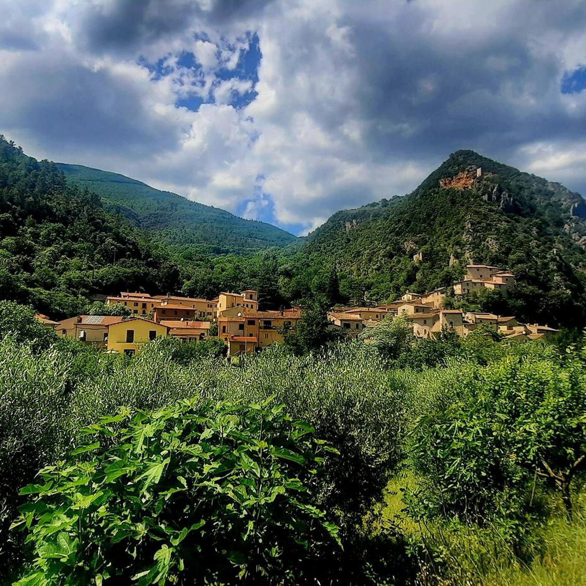
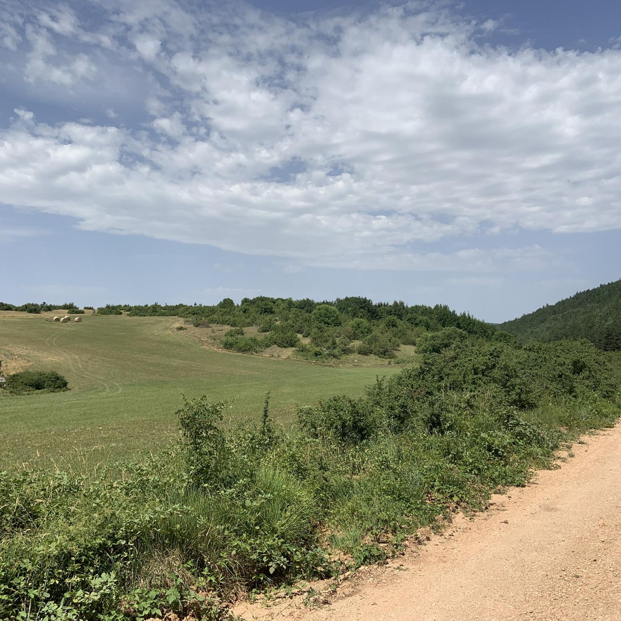
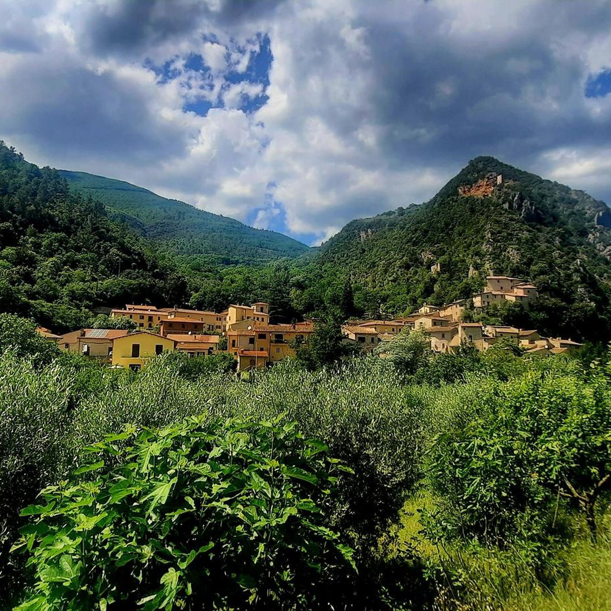
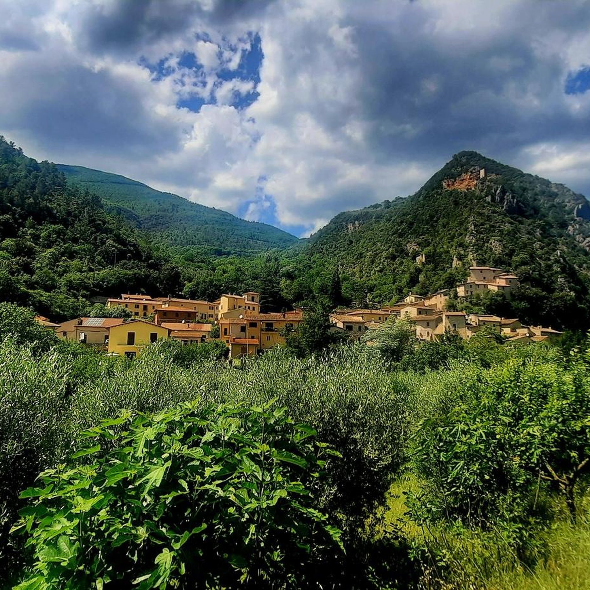
Jogging routes around Vallo Di Nera offer a blend of natural beauty and historical charm within Umbria's Valnerina valley. The region is characterized by the winding Nera River, surrounded by the Coscerno and Maggiore mountains, with wooded gorges and limestone cliffs. Joggers can explore diverse topography, from the flat sections of the Greenway del Nera along the riverbanks to more challenging mountain paths. The area also features medieval villages and a repurposed former railway line, providing varied terrain for running.
…Last updated: July 8, 2026
5.0
(1)
8
runners
17.9km
02:32
780m
780m
Hard run. Very good fitness required. Mostly accessible paths. Some sure footedness required.
5.0
(1)
5
runners
5.42km
00:34
50m
50m
Moderate run. Good fitness required. Mostly paved surfaces. Suitable for all skill levels.

Sign up for free
9
runners
10.4km
01:07
90m
90m
Moderate run. Good fitness required. Mostly paved surfaces. Suitable for all skill levels.
8
runners
18.5km
01:59
230m
230m
Hard run. Very good fitness required. Mostly paved surfaces. Suitable for all skill levels.
6
runners
9.41km
01:09
200m
210m
Moderate run. Good fitness required. Mostly paved surfaces. Suitable for all skill levels.
Get access to more routes and recommendations from other explorers.
Sign up for free
Already have an account?
Our route recommendations are based on thousands of hikes, rides, and runs completed by other people on komoot.
Start today with a free account
Your next adventure awaits.
Login or Signup

Tips from the Community

This station served the municipalities of Sant'Anatolia di Narco and Scheggino along the famous narrow-gauge railway that connected Spoleto to Norcia. Today the tracks have been replaced by a cycle path perfect for those who want to go off-road, which has made these places very bike-friendly.
0
0

Castel San Felice is a small fortified village located on the right bank of the Nera river. It developed around the Romanesque church of San Felice di Narco. From here you can follow the Valnerina cycle path if you want to cycle on a dirt road, or the parallel regional road, paying attention to cars.
1
0


The Nera Greenway is a 180 km cycle path that allows you to explore a vast territory along the entire Valnerina and the side valleys. You can find detailed information at this link: https://mybikeway.it/la-greenway-del-nera-istruzioni-e-file-gpx/
7
0

Frequently Asked Questions
How many jogging routes are available in Vallo Di Nera?
There are over 10 dedicated jogging routes around Vallo di Nera, catering to various fitness levels. The komoot community has explored these trails over 400 times, highlighting the region's popularity for running.
What kind of terrain can I expect on running trails around Vallo di Nera?
The terrain around Vallo di Nera is diverse, ranging from flat, riverside paths like sections of the 'Greenway del Nera' to more challenging mountain trails with significant elevation changes. You'll find a mix of wooded gorges, limestone cliffs, and paths through medieval villages.
Are there any easy or beginner-friendly running paths in the area?
Yes, the 'Greenway del Nera' is particularly suitable for relaxed jogs and beginners, as many sections are notably flat and follow the Nera River. This allows for a low-impact way to experience the valley's beauty.
Can I find challenging running routes with significant elevation gain?
Absolutely. For those seeking a more demanding run, the Monte Grande – Monte Maggiore loop from Spina Nuova is a difficult 11.1-mile (17.9 km) path featuring substantial elevation gain, traversing mountainous terrain with expansive views.
What historical or natural attractions can I see while jogging in Vallo di Nera?
Many running routes offer views of Vallo di Nera's medieval architecture and natural beauty. You might pass by historic churches, ancient walls, or enjoy vistas of the Nera River. For specific natural highlights, consider routes near the Clitunno Springs. If you're interested in castles, the region also features attractions like Castello di Pissignano or Rocca Albornoziana.
Are there any routes suitable for families or those jogging with children?
The 'Greenway del Nera' is an excellent option for families due to its mostly flat sections along the river, making it accessible and enjoyable for various fitness levels, including children.
Are the running trails in Vallo di Nera dog-friendly?
Generally, the natural trails and paths in the Valnerina valley are suitable for dogs, provided they are kept under control, especially in areas with wildlife or near livestock. Always ensure to clean up after your pet.
Are there any circular running routes available?
Yes, several circular running routes are available. A popular choice is the Fiume e Fonti del Clitunno loop from Campello sul Clitunno, which is about 5 miles (8 km) long. Another option is the Running loop from Eggi, a 3.4-mile (5.4 km) trail.
What is the best time of year to go running in Vallo di Nera?
Spring and autumn generally offer the most pleasant conditions for running in Vallo di Nera, with mild temperatures and vibrant natural scenery. Summer can be warm, especially at midday, so early morning or late afternoon runs are recommended. Winter runs are possible, but some higher elevation trails might be less accessible.
Are there any waterfalls I can visit on a running route?
Yes, you can find natural monuments like the Lu Cugnuntu Waterfall in the broader Vallo di Nera area. While not directly on every jogging route, some trails might offer access or views of such natural features.
What do other runners say about the trails in Vallo di Nera?
The running routes in Vallo di Nera are highly rated by the komoot community, with an average score of 5.0 stars from over 6 reviews. Runners often praise the blend of natural beauty, historical charm, and the variety of terrain available, from serene river paths to challenging mountain ascents.
Can I combine my run with exploring medieval villages?
Absolutely. Vallo di Nera itself is a picturesque medieval village, and many routes, such as the 'Greenway del Nera', pass through or near other charming hamlets like Meggiano and Geppa. This allows you to combine your physical activity with cultural immersion.
Is there a unique running path that follows a former railway line?
Yes, a significant feature for runners in the Valnerina valley is the repurposed former Spoleto-Norcia railway line. This scenic path is ideal for outdoor activities like jogging, offering a unique historical backdrop to your run.
Most popular routes around Vallo Di Nera
Most popular attractions around Vallo Di Nera

Get inspired with the komoot mobile app


Explore more
Browse the best Running Trails & Routes in other regions.
