The best walks and hikes around Vallo Di Nera
4.2
(752)
3,500
hikers
74
hikes
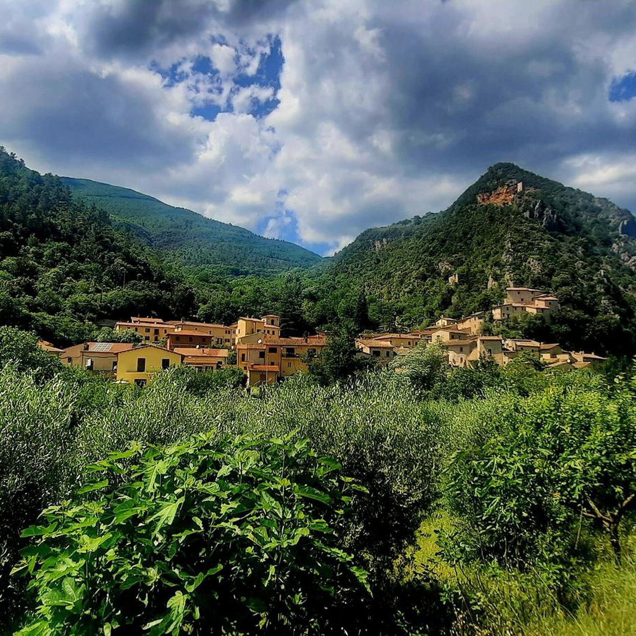
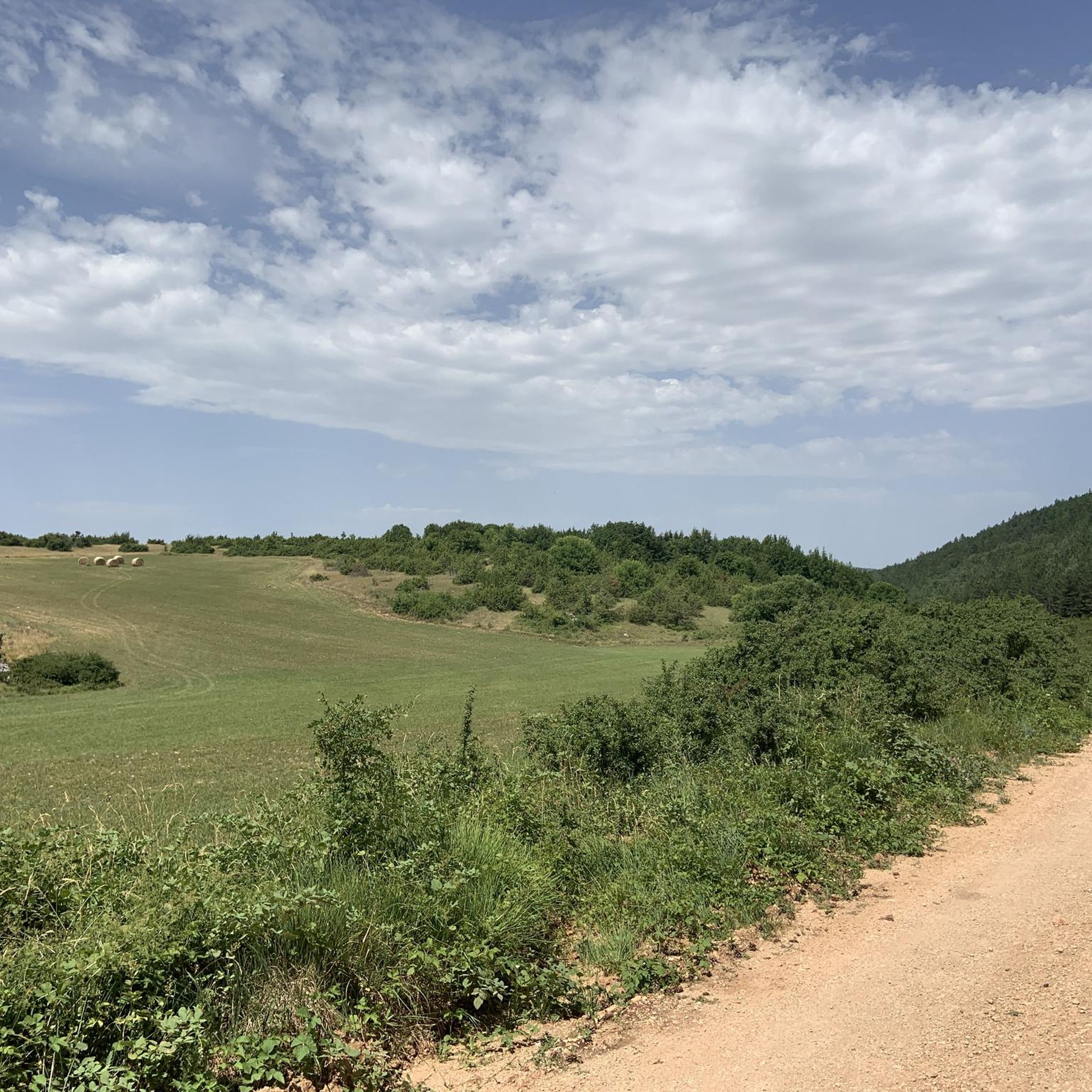
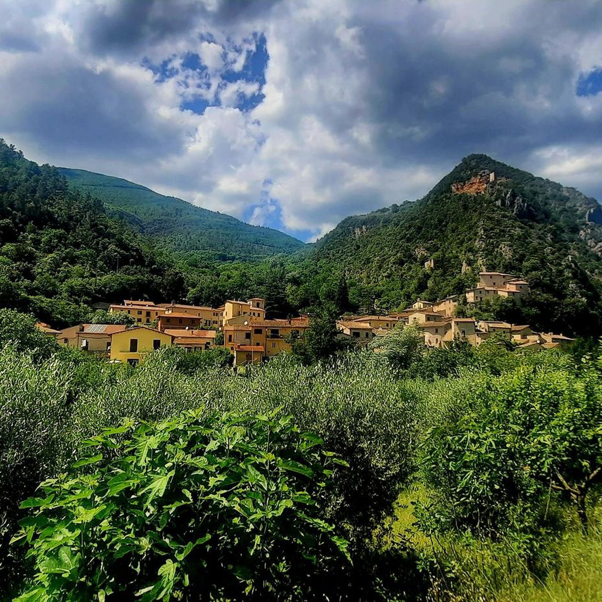
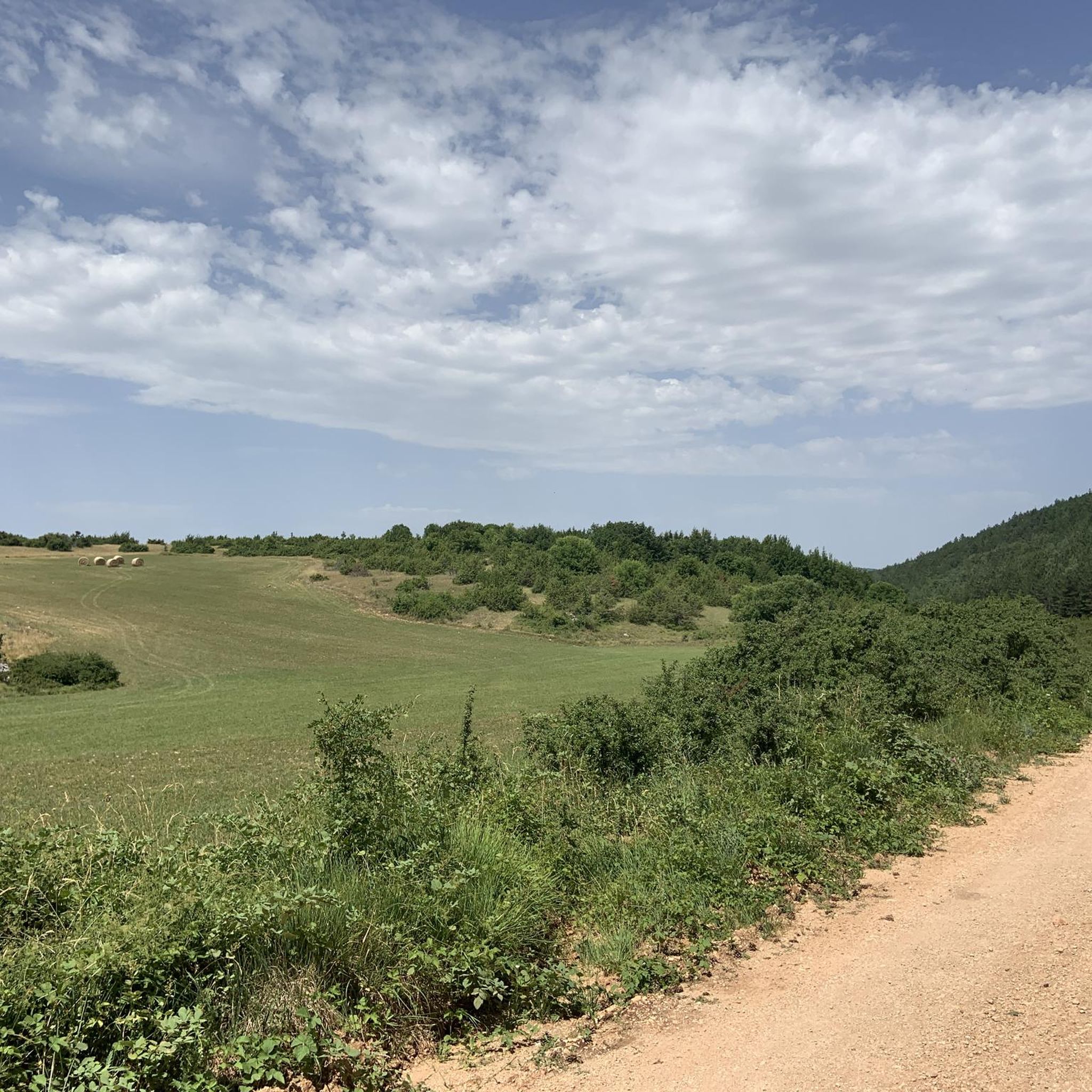
Hiking around Vallo Di Nera offers routes through the scenic Nera River Valley in Umbria, Italy. The region is characterized by its historic villages, rolling hills, and a network of trails that often follow ancient paths or converted railway lines. Hikers can expect varied terrain, including riverside sections and ascents to panoramic viewpoints overlooking the valley. The landscape provides a mix of open areas and wooded sections, typical of central Italian countryside.
Best hiking trails around Vallo Di Nera
- The most popular hiking route is Eremo di Sant'Antonio – Vallo di Nera Historic Village loop from Sant'Anatolia di Narco, a 6.6 miles (10.7 km) trail that takes 3 hours 4 minutes to complete. This moderate route connects historic villages with scenic views.
- Another top favourite among local hikers is Eremo di Sant'Antonio – Vallo di Nera Historic Village loop from Vallo di Nera, a moderate 7.6 miles (12.2 km) path. This route features rolling hills and passes through significant historic sites.
- Local hikers also love the Capareccia Tunnel – Spoleto–Norcia Railway Trail loop from Sant'Anatolia di Narco, a 7.3 miles (11.8 km) trail leading through converted railway trails and river valleys, often completed in about 3 hours 36 minutes.
- Hiking around Vallo Di Nera is defined by historic villages, river valleys, and converted railway trails. The network offers options for easy, moderate, and difficult routes, catering to different ability levels.
- The routes in Vallo Di Nera are highly rated by the komoot community with an average score of 4.3 stars from over 500 reviews. More than 2,800 hikers have used komoot to explore Vallo Di Nera's varied terrain.
Last updated: August 18, 2026
4.2
(17)
56
hikers
Moderate hike. Good fitness required. Easily-accessible paths. Suitable for all skill levels.
4.3
(4)
13
hikers
Moderate hike. Good fitness required. Easily-accessible paths. Suitable for all skill levels.

Sign up for free
3.0
(1)
12
hikers
Moderate hike. Good fitness required. Easily-accessible paths. Suitable for all skill levels.
4.3
(4)
11
hikers
Moderate hike. Good fitness required. Easily-accessible paths. Suitable for all skill levels.
5.0
(4)
16
hikers
16.7km
04:35
260m
260m
Moderate hike. Good fitness required. Easily-accessible paths. Suitable for all skill levels.
Get access to more routes and recommendations from other explorers.
Sign up for free
Already have an account?
Our route recommendations are based on thousands of hikes, rides, and runs completed by other people on komoot.
Start today with a free account
Your next adventure awaits.
Login or Signup

Tips from the Community

Magical place... "Religious House of Hospitality.
0
0
The Abbey of Saints Felice and Mauro, in Castel San Felice, stands out for the whiteness of its stones and is a splendid example of Umbrian Romanesque.
0
0

Old village of Valle di Nera
0
0


Beautiful Romanesque church a stone's throw from the cycle path
0
0
a corner of the Middle Ages a stone's throw from the route of the old Spoleto Norcia railway. A tiny village stopped in time, an example of post-earthquake reconstruction ...
0
0

Bridge that connects the route of the Old Railway to Piedipaterno
3
0

The Nera Greenway is a 180 km cycle path that allows you to explore a vast territory along the entire Valnerina and the side valleys. You can find detailed information at this link: https://mybikeway.it/la-greenway-del-nera-istruzioni-e-file-gpx/
7
0
Frequently Asked Questions
How many hiking trails are available in Vallo Di Nera?
Vallo Di Nera offers a diverse network of over 50 hiking trails. These routes cater to various skill levels, with options ranging from easy strolls to more challenging ascents through the scenic Nera River Valley.
Are there easy hiking routes suitable for beginners or families in Vallo Di Nera?
Yes, Vallo Di Nera has several easy hiking routes perfect for beginners or families. The region's trails often follow ancient paths or converted railway lines, providing gentle gradients. For example, the area features 6 easy routes, with many moderate options also being accessible for those looking for a slightly longer but still manageable walk.
What kind of terrain can I expect on hikes around Vallo Di Nera?
The terrain around Vallo Di Nera is varied, characteristic of central Italian countryside. You can expect a mix of riverside sections along the Nera River, rolling hills, and wooded areas. Many trails also incorporate historic villages and sections of the old Spoleto–Norcia Railway Trail, offering a blend of natural beauty and cultural interest.
Are there any circular hiking routes in Vallo Di Nera?
Yes, many of the trails in Vallo Di Nera are designed as circular routes, allowing you to start and end in the same location. A popular example is the Eremo di Sant'Antonio – Vallo di Nera Historic Village loop from Vallo di Nera, which offers a moderate 7.6-mile (12.2 km) journey through historic sites and rolling hills.
What are some interesting landmarks or attractions to see along the hiking trails?
Hiking in Vallo Di Nera often leads you past fascinating historical and natural landmarks. You can explore sites like the Caprareccia Station, a remnant of the old railway, or walk along sections of the Spoleto–Norcia Railway Trail. The region is also rich in historic villages and offers views of ancient structures.
Can I find hikes with good viewpoints in Vallo Di Nera?
Absolutely. Many trails in Vallo Di Nera include ascents to panoramic viewpoints that offer stunning vistas over the Nera River Valley and the surrounding Umbrian landscape. These elevated sections provide excellent opportunities to appreciate the region's natural beauty and historic villages from above.
What do other hikers say about the trails in Vallo Di Nera?
The hiking trails in Vallo Di Nera are highly regarded by the komoot community, holding an average rating of 4.3 stars from over 500 reviews. Hikers frequently praise the well-maintained paths, the blend of natural scenery with historic villages, and the variety of routes available for different fitness levels.
Are there any routes that follow old railway lines?
Yes, a unique feature of hiking in Vallo Di Nera is the opportunity to walk along converted railway lines. The Capareccia Tunnel – Spoleto–Norcia Railway Trail loop from Sant'Anatolia di Narco is a prime example, offering a 7.3-mile (11.8 km) route that takes you through tunnels and along the historic railway path, often alongside the river.
Are there any castles or historic villages accessible by hiking in the area?
Vallo Di Nera is nestled in a region rich with history, and many hikes connect or pass through charming historic villages. While specific castle trails are not detailed in every route, the area is known for its medieval settlements. You can find nearby castles such as Castello di Pissignano and the Rocca Albornoziana in Spoleto, which can be explored in conjunction with your hikes.
What is the best season for hiking in Vallo Di Nera?
The best seasons for hiking in Vallo Di Nera are typically spring and autumn. During these times, the weather is mild, the landscapes are vibrant with blooming flowers or rich autumn colors, and the temperatures are comfortable for longer walks. Summer can also be pleasant, especially in the mornings or late afternoons, though it can get warm.
Are there any less crowded hiking options near Vallo Di Nera?
While popular routes like the Eremo di Sant'Antonio loops are well-loved, Vallo Di Nera has over 50 trails, offering plenty of opportunities to find quieter paths. Exploring some of the less-trafficked moderate or difficult routes, or hiking during off-peak hours, can lead to a more secluded experience amidst the Umbrian countryside.
Most popular routes around Vallo Di Nera
Most popular attractions around Vallo Di Nera

Get inspired with the komoot mobile app


Explore more
Browse the best Hikes in other regions.
