The best walks and hikes around Borgo Velino
4.5
(740)
3,901
hikers
127
hikes
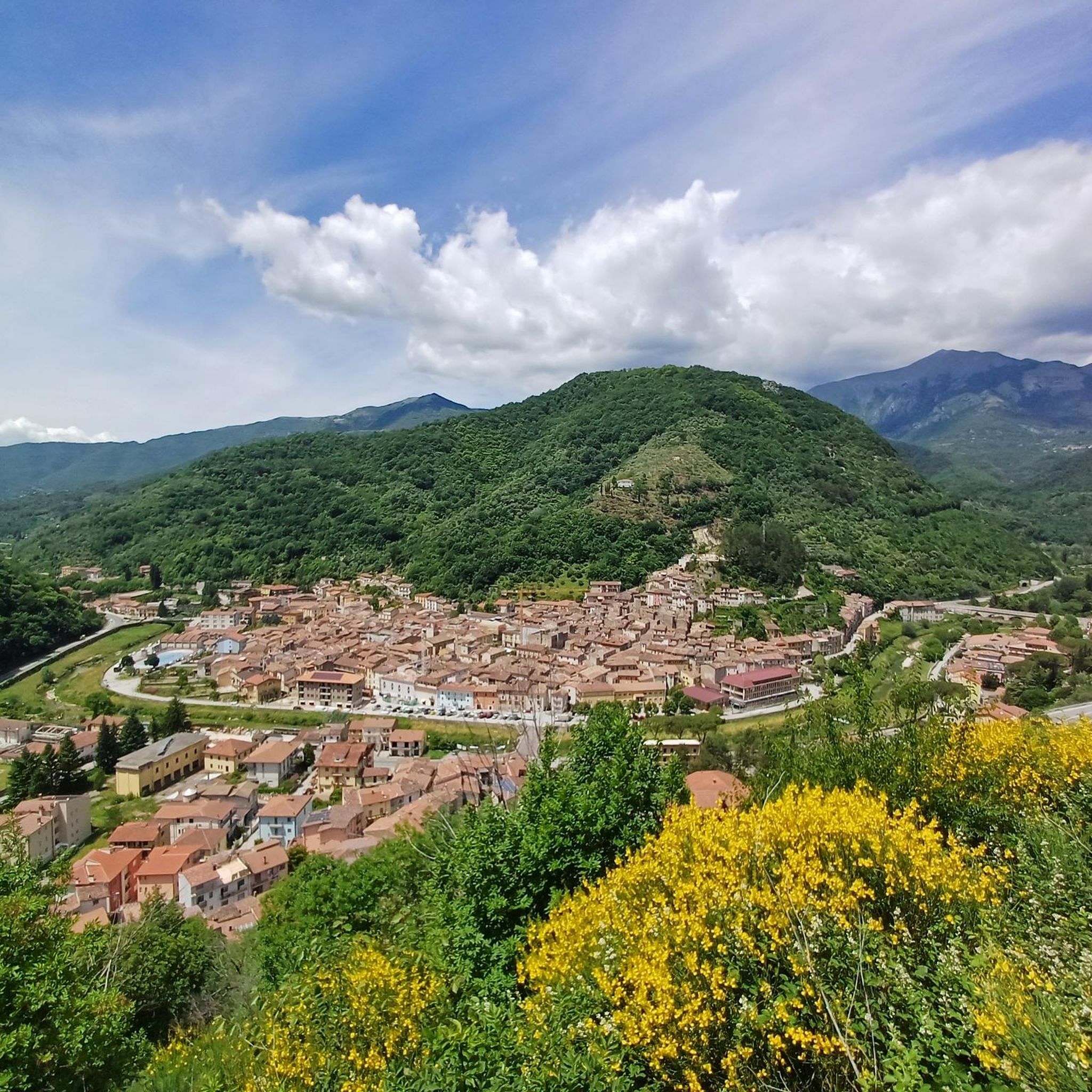
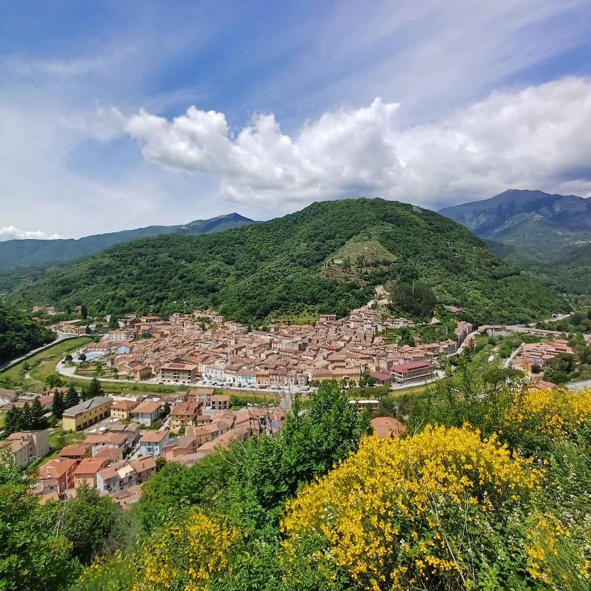
Hiking around Borgo Velino offers diverse landscapes, characterized by mountainous terrain at the foot of Mount Nuria and near Monte Terminillo, which rises to 2,216 meters. The region features dense woods and chestnut groves, providing shaded paths. The Velino River runs through the picturesque Velino Valley, and the artificial Lake Salto adds a serene water feature to the area.
Best hiking trails around Borgo Velino
- The most popular hiking route is Scenic Viewpoint Over the Valley – Rifugio Massimo Rinaldi loop from Pian de' Valli, a 5.6 miles (9.0 km) trail that takes 3 hours 49 minutes to complete. This moderate route offers panoramic views over the valley and significant elevation changes.
- Another top favourite among local hikers is La Fossa Hut – Terminillo Loop loop from Pian de' Valli, a moderate 7.5 miles (12.0 km) path. This trail explores the Terminillo area, featuring sustained climbs and expansive mountain scenery.
- Local hikers also love the Terminillo Loop loop from Pian de' Valli, a 3.9 miles (6.2 km) trail leading through mountainous terrain, often completed in about 1 hour 40 minutes.
- Hiking around Borgo Velino is defined by mountainous paths, river valleys, and chestnut forests. The network offers options for different ability levels, from easy walks to more challenging ascents.
- The routes in Borgo Velino are highly rated by the komoot community with an average score of 4.5 stars from over 700 reviews. More than 4000 hikers have used komoot to explore Borgo Velino's varied terrain.
Last updated: June 25, 2026
4.8
(30)
141
hikers
Moderate hike. Good fitness required. Mostly accessible paths. Sure-footedness required.
4.3
(9)
58
hikers
16.4km
05:43
710m
710m
Hard hike. Very good fitness required. Mostly accessible paths. Sure-footedness required.

Sign up for free
4.7
(7)
67
hikers
Easy hike. Great for any fitness level. Easily-accessible paths. Suitable for all skill levels.
4.4
(9)
49
hikers
Moderate hike. Good fitness required. Mostly accessible paths. Sure-footedness required.
3.8
(10)
50
hikers
11.0km
03:12
270m
270m
Moderate hike. Good fitness required. Easily-accessible paths. Suitable for all skill levels.
Get access to more routes and recommendations from other explorers.
Sign up for free
Already have an account?
Our route recommendations are based on thousands of hikes, rides, and runs completed by other people on komoot.
Start today with a free account
Your next adventure awaits.
Login or Signup
Tips from the Community


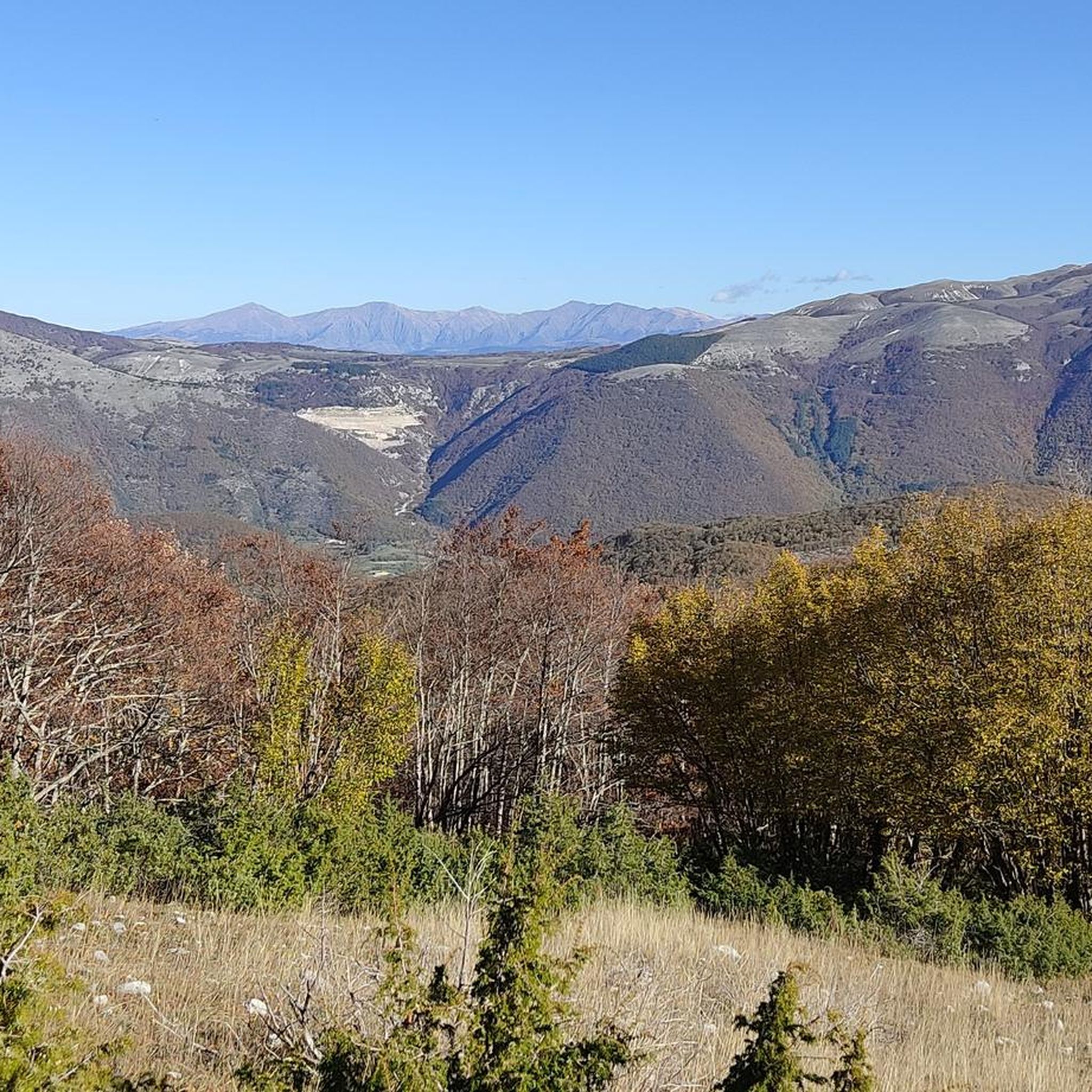
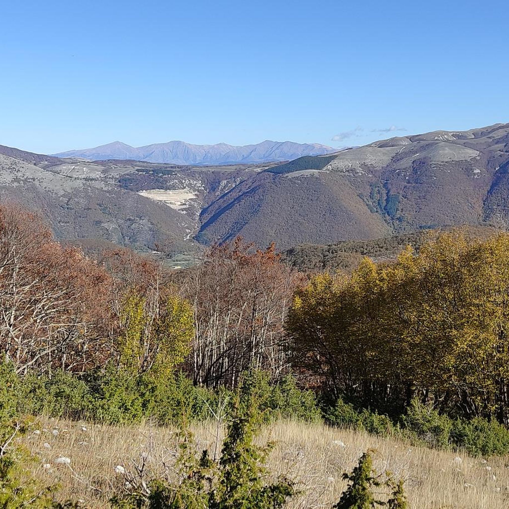
From the summit of Mount Terminillo, 2,216 meters, you can enjoy a breathtaking 360-degree panorama. You can admire the crests of Mount Elefante, Mount Brecciaro, Mount Valloni, Corno Grande, the Laga mountains, the Velino/Sirente massif, and on clear days even Mount Vettore and Gran Sasso. The view of the valleys below is fantastic, and from the highest point, it offers a unique panorama of the Sassetelli ridge, Mount Terminelletto, and the narrow saddle connecting the two peaks. On clear days, the view allows you to glimpse the magnificent mountains of the Central Apennines and the Gran Sasso.
0
0
From the summit of Mount Terminillo, at 2,216 meters, you can enjoy a breathtaking 360-degree panorama. You can admire the crests of Mount Elefante, Mount Brecciaro, Mount Valloni, Corno Grande, the Laga mountains, the Velino/Sirente massif, and on clear days even Mount Vettore and Gran Sasso. The view of the valleys below is spectacular; from the summit, you can admire the spectacular Sassetelli ridge and the ridge leading to Mount Terminelletto, as well as the magnificent mountains of the Central Apennines and the Sibillini Mountains.
1
0

A journey through the clouds
2
0

The town of Pian de’ Valli, is located in the municipality of Rieti, stands at the foot of Terminillo, at an altitude of 1620 meters, hosts many accommodation and commercial activities, and the departure station of the ski lifts is located a few steps from the center. The famous Terminillo cable car is still in operation today both in the winter and summer seasons and is the historical symbol of Pian de’ Valli.
2
0

Wait for the sunset and you will cry :)
0
0
Large, well-kept and managed refuge where you can move and refresh yourself before the summit of Terminillo
0
0
Frequently Asked Questions
How many hiking trails are available around Borgo Velino?
Borgo Velino offers a wide variety of hiking opportunities, with over 100 trails to explore. These range from easy strolls to more challenging mountain ascents, catering to different fitness levels.
Are there any easy hiking routes suitable for beginners or families?
Yes, Borgo Velino has several easy routes perfect for beginners or families. For a gentle introduction to the area's beauty, consider the Terminillo Loop from Pian de' Valli, which offers pleasant scenery without significant elevation gain. There are 12 easy routes in total.
What kind of terrain can I expect on hikes near Borgo Velino?
The terrain around Borgo Velino is quite diverse. You'll find mountainous paths, especially near Mount Nuria and Terminillo, offering varied inclines and panoramic views. The Velino River valley provides gentler riverside walks amidst lush vegetation, and extensive chestnut groves offer scenic, shaded paths.
Are there any circular walks in the Borgo Velino area?
Yes, many routes around Borgo Velino are designed as loops, allowing you to start and end in the same location. An example is the Scenic Viewpoint Over the Valley – Rifugio Massimo Rinaldi loop, which provides a moderate challenge with rewarding views.
What are some notable landmarks or viewpoints to see while hiking?
The region is rich in natural landmarks and scenic viewpoints. You can hike towards Mount Terminillo for expansive mountain scenery or visit the Scenic Viewpoint Over the Valley for breathtaking vistas. There are also several mountain huts like Rifugio Massimo Rinaldi and Angelo Sebastiani Hut that serve as great destinations or rest stops.
What do other hikers say about the trails in Borgo Velino?
The trails in Borgo Velino are highly regarded by the komoot community, with an average rating of 4.5 stars from over 700 reviews. Hikers often praise the diverse landscapes, from challenging mountain ascents to tranquil forest paths, and the stunning panoramic views.
Are there any challenging hikes for experienced trekkers?
Absolutely. For experienced hikers seeking a challenge, Borgo Velino offers 35 difficult routes. The Rifugio Massimo Rinaldi – Scenic Viewpoint Over the Valley loop is a moderate route with significant elevation gain, providing a good workout and rewarding views.
Is public transport available to reach hiking trailheads near Borgo Velino?
While Borgo Velino is a charming medieval town, public transport options directly to all trailheads can be limited. It's advisable to check local bus schedules or consider driving to access some of the more remote starting points, especially for routes in the Terminillo area like those starting from Pian de' Valli.
Where can I find parking for hiking trails around Borgo Velino?
Parking is generally available near popular trailheads and villages. For routes in the Terminillo area, such as the La Fossa Hut – Terminillo Loop, you can often find parking in or around Pian de' Valli, which serves as a common starting point for many hikes.
What is the best time of year to go hiking in Borgo Velino?
The best time to hike in Borgo Velino is typically during spring, summer, and early autumn. These seasons offer pleasant weather, vibrant flora, and accessible trails. Autumn is particularly scenic with the chestnut forests changing color. Winter hiking is possible, especially in the Terminillo area, but may require specific gear and experience due to snow and ice.
Are there any trails that pass by mountain huts or places to eat?
Yes, some trails in the Borgo Velino region lead to or pass by mountain huts where you can rest and often find refreshments. For instance, the Leitenessa Rock Formation – Angelo Sebastiani Hut loop includes the Angelo Sebastiani Hut, providing a convenient stop during your hike.
Most popular attractions around Borgo Velino

Get inspired with the komoot mobile app


Explore more
Browse the best Hikes in other regions.
