The best MTB trails around Poggio Moiano
4.5
(54)
708
riders
19
rides
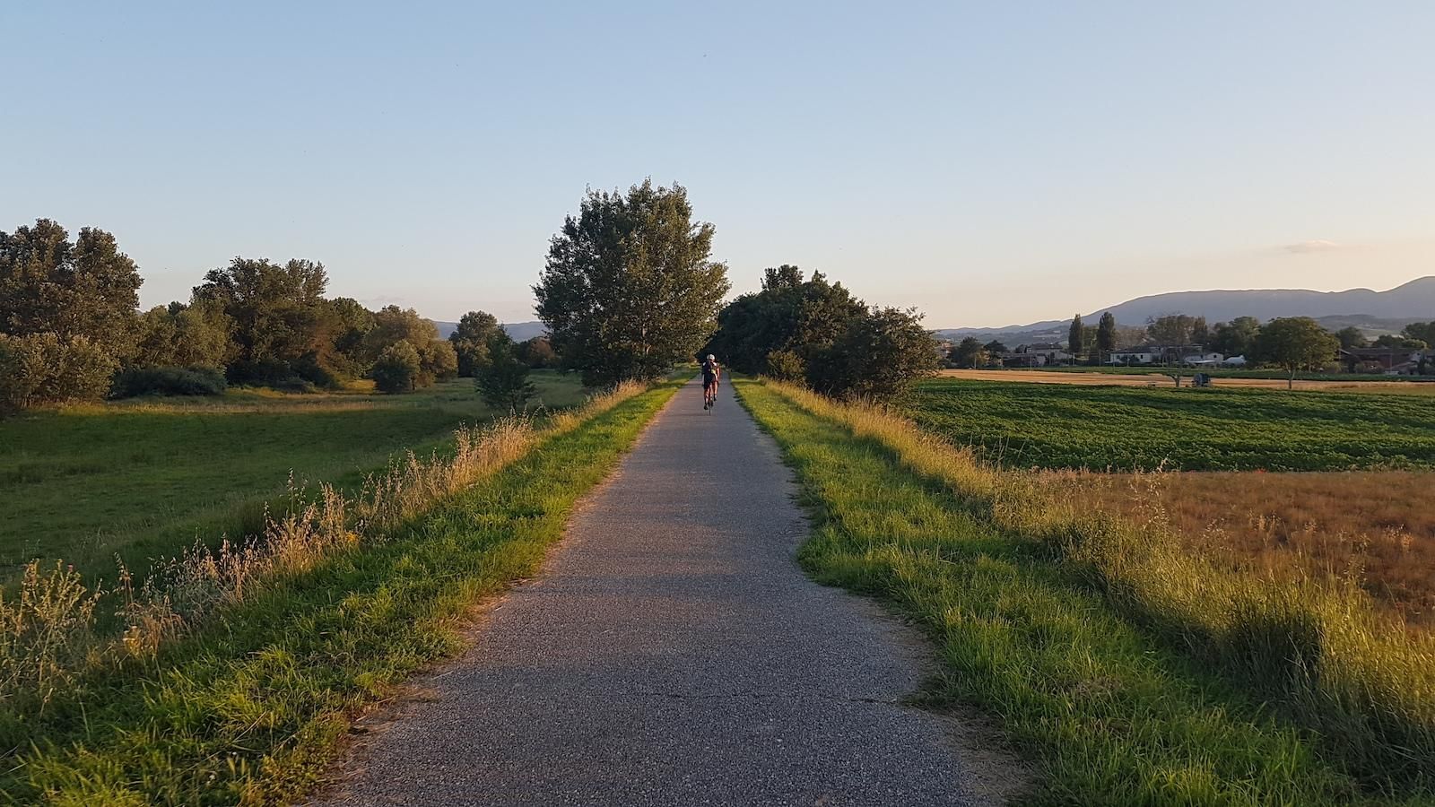
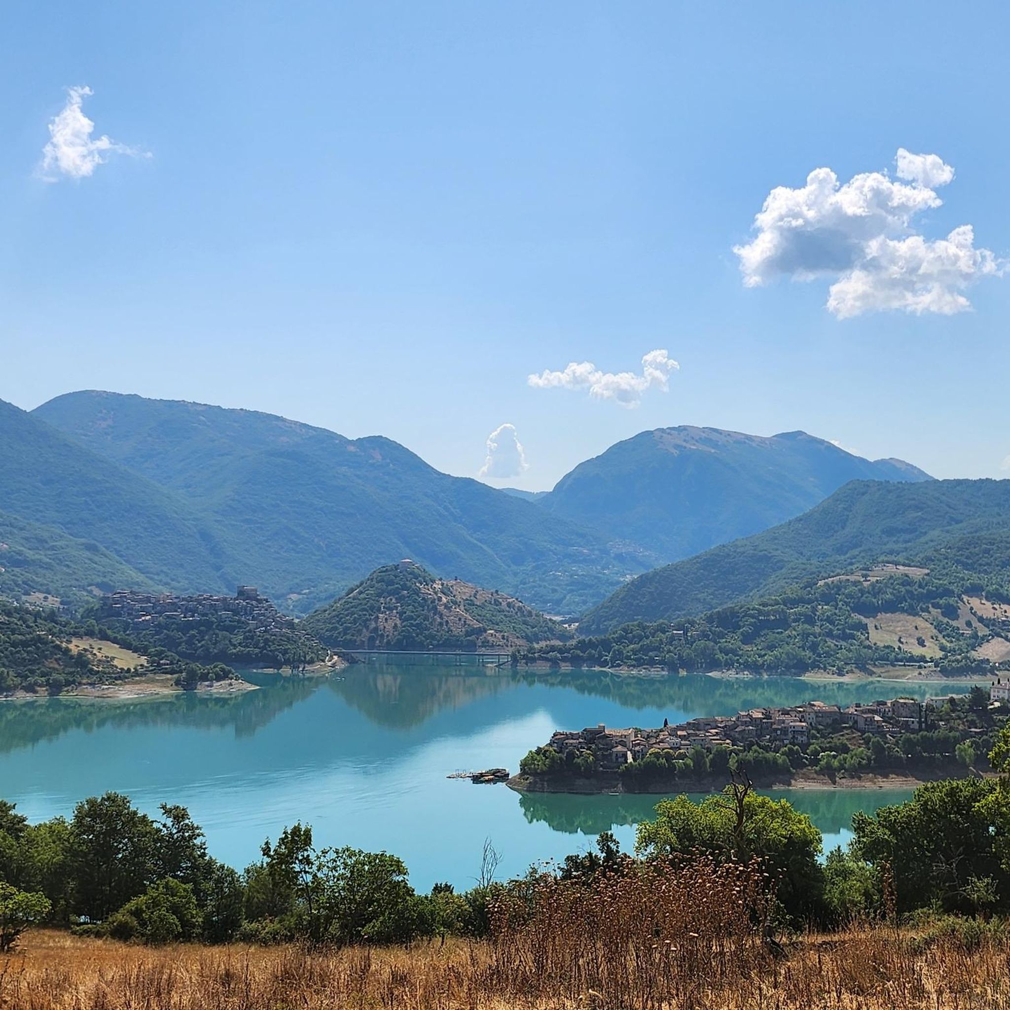
Mountain biking around Poggio Moiano offers diverse terrain within Italy's Upper Sabina region, situated on the slopes of Mount Miano. The area is characterized by the varied topography of the Lucretili Mountains Regional Park, featuring dense forests, expansive plateaus, and hills. Riders can expect routes with significant elevation gains, including rocky sections and steep turns, providing a dynamic experience. The landscape also includes scenic views of the Monti Sabini and nearby Lake Turano.
Best mountain bike trails around Poggio Moiano
…Last updated: May 25, 2026
5.0
(3)
14
riders
41.1km
03:55
1,250m
1,250m
Hard mountain bike ride. Very good fitness required. Suitable for all skill levels.
5.0
(1)
13
riders
39.2km
04:08
1,300m
1,310m
Hard mountain bike ride. Very good fitness required. Suitable for all skill levels.

Sign up for free
3.0
(1)
11
riders
Moderate mountain bike ride. Good fitness required. Suitable for all skill levels.
4.0
(2)
12
riders
Hard mountain bike ride. Very good fitness required. Suitable for all skill levels.
5.0
(1)
11
riders
26.1km
02:30
730m
730m
Moderate mountain bike ride. Good fitness required. Suitable for all skill levels.
Get access to more routes and recommendations from other explorers.
Sign up for free
Already have an account?
Our route recommendations are based on thousands of hikes, rides, and runs completed by other people on komoot.
Start today with a free account
Your next adventure awaits.
Login or Signup
Other adventures around Poggio Moiano

Tips from the Community

The Torracci of Osteria Nuova are three large tower-shaped tombs located in the hamlet of Osteria Nuova, in the province of Rieti but also close to Rome. These archaeological structures date back to the 2nd century AD, evidence of the Roman Imperial era.
0
0

landscapes of remarkable beauty
0
0
This entire trail offers many views of the lake and is very easy to cycle on without any difficulty.
0
0
Crossroads of various paths, one goes up steeply from which you can enjoy a better view of Lake Turano
0
0
Observation point of the country.
0
0
The path from the fountain is not very clear, follow the direction of the track and you will find it near a tree.
0
0
"This ancient monastery, which stands majestically on the slopes of Monte Pendente, about 4 kilometers from the municipality of Scandriglia, boasts a rich and intriguing history that has its roots in the 10th century. The foundation of the abbey dates back to 971, when San Domenico di Sora, a Benedictine monk known for his ascetic life, began his hermit journey here. His presence attracted the attention of the Marquis Uberto, commendatory of the Abbey of Farfa, who decided to commission the construction of the monastery. San Domenico thus became the first abbot of this new monastic community, starting a spiritual tradition that would last for centuries. The abbey, built according to the canons of Romanesque architecture, presents itself with a well-organized structure. The monastic complex develops around two courtyards, with the workshops located on the lower floors and the monks' lodgings on the upper ones. The church, an integral part of the complex, completes the harmonious layout of the buildings. Over the centuries, the Abbey of San Salvatore Minore has experienced moments of great historical importance. In 1083, it was ceded to the Benedictines of Farfa by Count Todino, marking an important transition in its management. In the 13th century, the abbey was at the center of a jurisdictional dispute that even required the intervention of Pope Gregory IX in 1235. A century later, in 1311, the monk Gregory of Scandriglia became abbot, facing a turbulent period marked by revolts of the Farfa emphyteuti. Despite the challenges, the abbey continued to play a significant role in the religious and cultural life of the region until 1497, when the monastery was closed and Giovanni Buccimazza became its last abbot. Today, the Abbey of San Salvatore Minore is in a state of perfect preservation, testifying to centuries of history and spirituality. Its strategic position also makes it a starting point for an ancient pilgrimage route known as “Ginocchio du bove”, once used for trade between the populations of Scandriglia and Orvinio. This abbey represents not only a precious example of monastic architecture, but also an important piece in the religious and cultural history of Lazio, offering visitors a dive into the past and a tangible testimony of medieval monastic life.".
0
0
To access the trail, use the first detour, the subsequent ones are not cycleable.
0
0
Frequently Asked Questions
How many mountain bike trails are available around Poggio Moiano?
There are 18 mountain bike routes available around Poggio Moiano. These trails offer a variety of experiences within the Lucretili Mountains Regional Park, catering to different skill levels.
What is the overall difficulty level of mountain biking in Poggio Moiano?
The mountain bike trails around Poggio Moiano are primarily categorized as moderate to difficult. There are 7 moderate routes and 11 difficult routes, offering significant elevation gains and varied terrain, including rocky sections and steep turns.
What kind of terrain can I expect on mountain bike trails in Poggio Moiano?
You can expect a dynamic and varied terrain. The trails often feature dense forests, expansive plateaus, and hills within the Lucretili Mountains Regional Park. Riders frequently encounter rocky sections and steep turns, providing an engaging experience.
Are there any scenic viewpoints or natural features to look out for on the trails?
Absolutely. Many routes offer consistently panoramic views of the Monti Sabini and the Lazio region. You'll often find stunning vistas of Lake Turano. The region is also part of the Lucretili Mountains Regional Park, known for its diverse natural beauty.
Are there any historical landmarks or points of interest along the mountain bike routes?
Yes, several routes pass by notable historical sites. You might encounter the Romanesque Ponte Vecchio of Posticciola or the San Rocco Chapel at Lake Turano. For a historical climb with splendid views, consider routes that lead towards the Ruins of San Martino Abbey on Mount Acuziano, an 11th-century structure.
Are there any circular mountain bike routes in Poggio Moiano?
Yes, many of the mountain bike trails around Poggio Moiano are designed as loops. For example, the difficult Lago del Turano viewpoint – Pratarelle Spring loop from il Torraccio a Poggio Moiano is a popular circular option, as is the moderate Lago del Turano viewpoint – View of Lake Turano loop from Poggio Moiano.
What do other mountain bikers enjoy most about mountain biking in Poggio Moiano?
The area is highly rated by the komoot community, with an average score of 4.5 stars from over 50 reviews. Mountain bikers often praise the consistently panoramic nature of the routes, the varied terrain, and the beautiful views of Lake Turano and the surrounding mountains.
Are there any waterfalls accessible by mountain bike in the Poggio Moiano area?
While the region is rich in natural features, specific mountain bike routes directly to waterfalls are less common. However, the broader area around Poggio Moiano does feature natural monuments like the Vallocchie Waterfall and the Maricella Stream Waterfall, which might be accessible via connecting trails or as part of a longer adventure.
Is Poggio Moiano suitable for family-friendly mountain biking or beginners?
The majority of trails around Poggio Moiano are rated as moderate to difficult, often involving significant elevation gains and technical sections. While there are no routes specifically categorized as 'easy' in the immediate area, experienced families or beginners looking for a challenge might find some of the moderate routes manageable with caution. It's best to check individual route details for suitability.
What is the best time of year for mountain biking in Poggio Moiano?
Poggio Moiano, being in Italy's Upper Sabina region, generally offers good conditions for mountain biking during spring and autumn when temperatures are milder. Summer can be hot, especially on exposed sections, while winter might bring colder temperatures and potentially wet or icy conditions at higher elevations.
Are there options for mountain bikers seeking a challenging ride with significant climbs?
Absolutely. Poggio Moiano is known for its challenging routes. For instance, the Lago del Turano viewpoint – Sanctuary of Santa Vittoria loop from Poggio Moiano is a difficult 42.3 km path with over 1,390 meters of elevation gain, providing a substantial workout and rewarding views.
Where can I find information about parking or public transport access for mountain biking in Poggio Moiano?
Specific parking areas or public transport links for individual trailheads are usually detailed within each komoot tour description. Poggio Moiano is a hill town, and while some routes start from the town itself, others may begin from nearby villages. It's advisable to check the starting point of your chosen route for local parking information. For broader regional travel information, you might consult resources like visitlazio.com.
Most popular attractions around Poggio Moiano

Get inspired with the komoot mobile app


Explore more
Browse the best MTB trails in other regions.
