The best MTB trails around Lama Dei Peligni
4.8
(64)
517
riders
36
rides
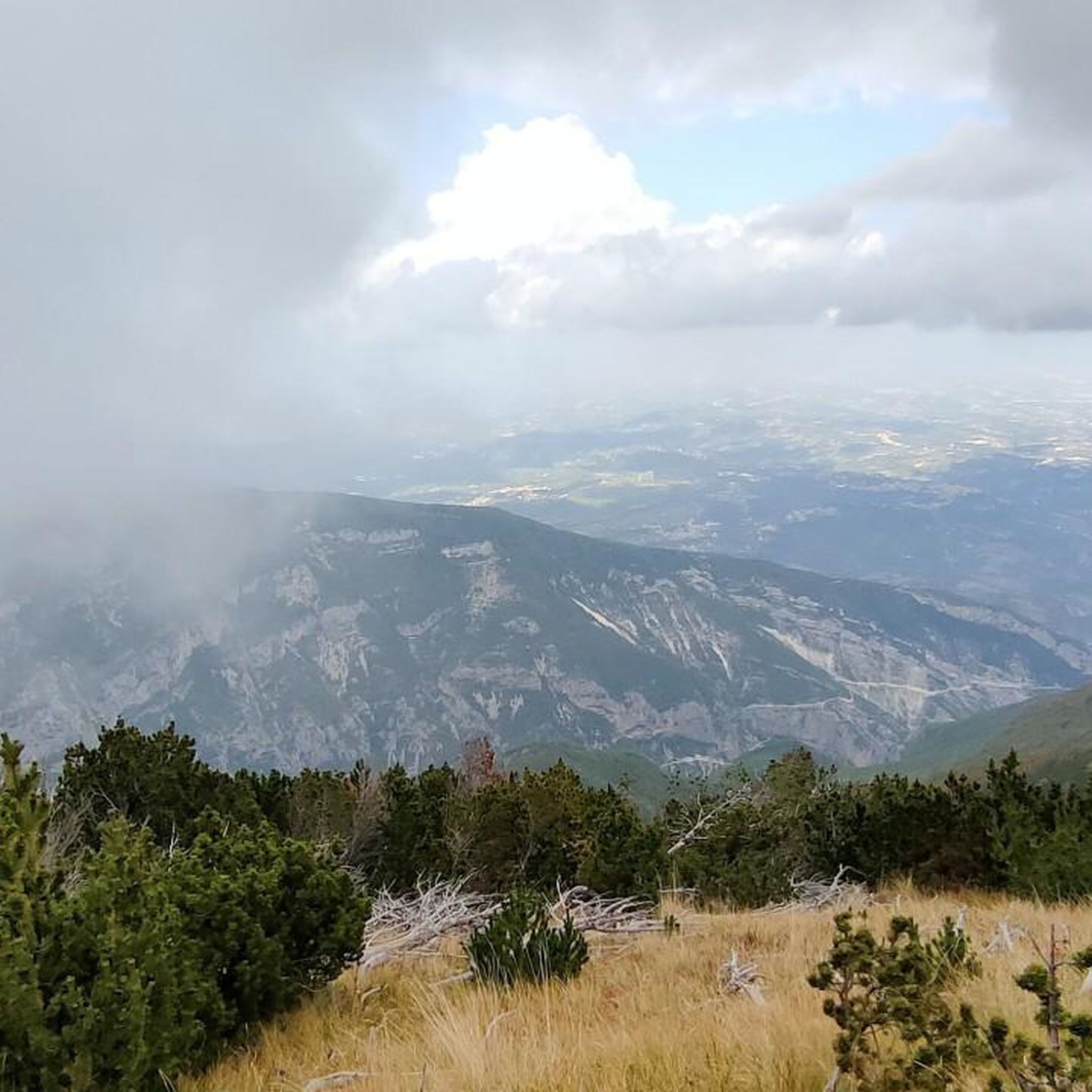
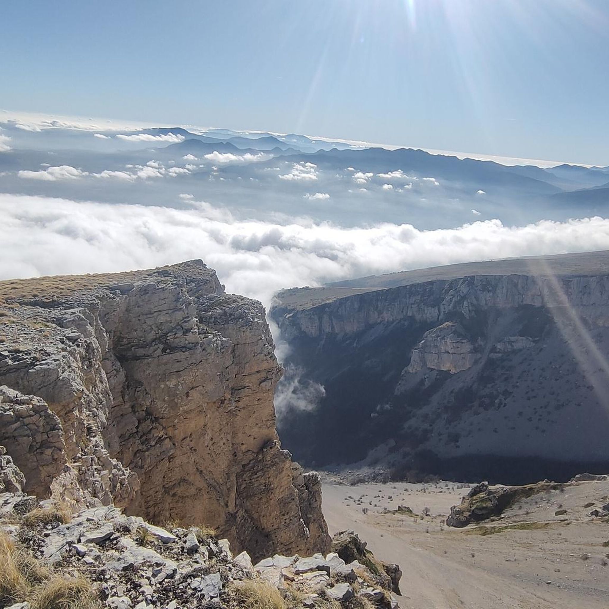
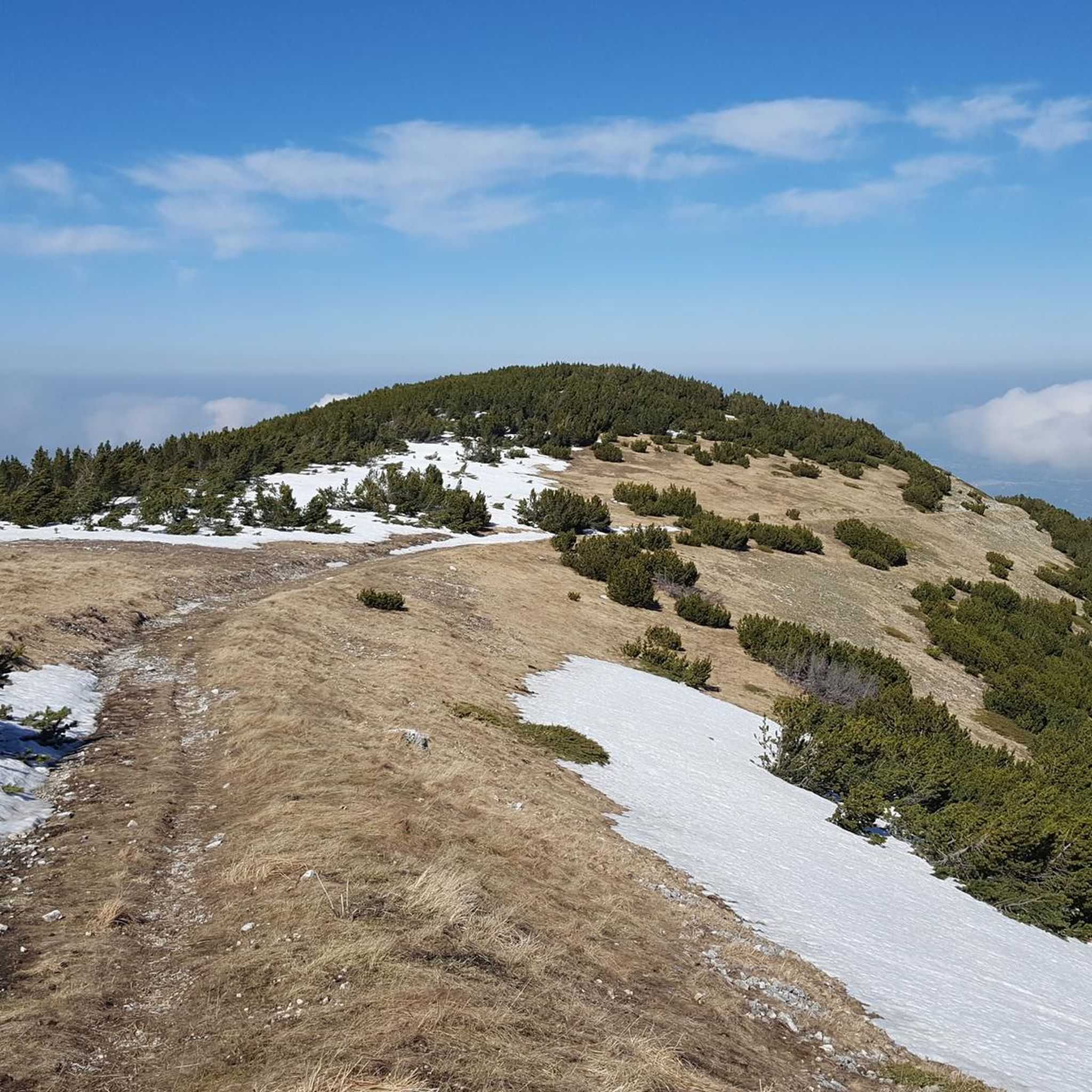
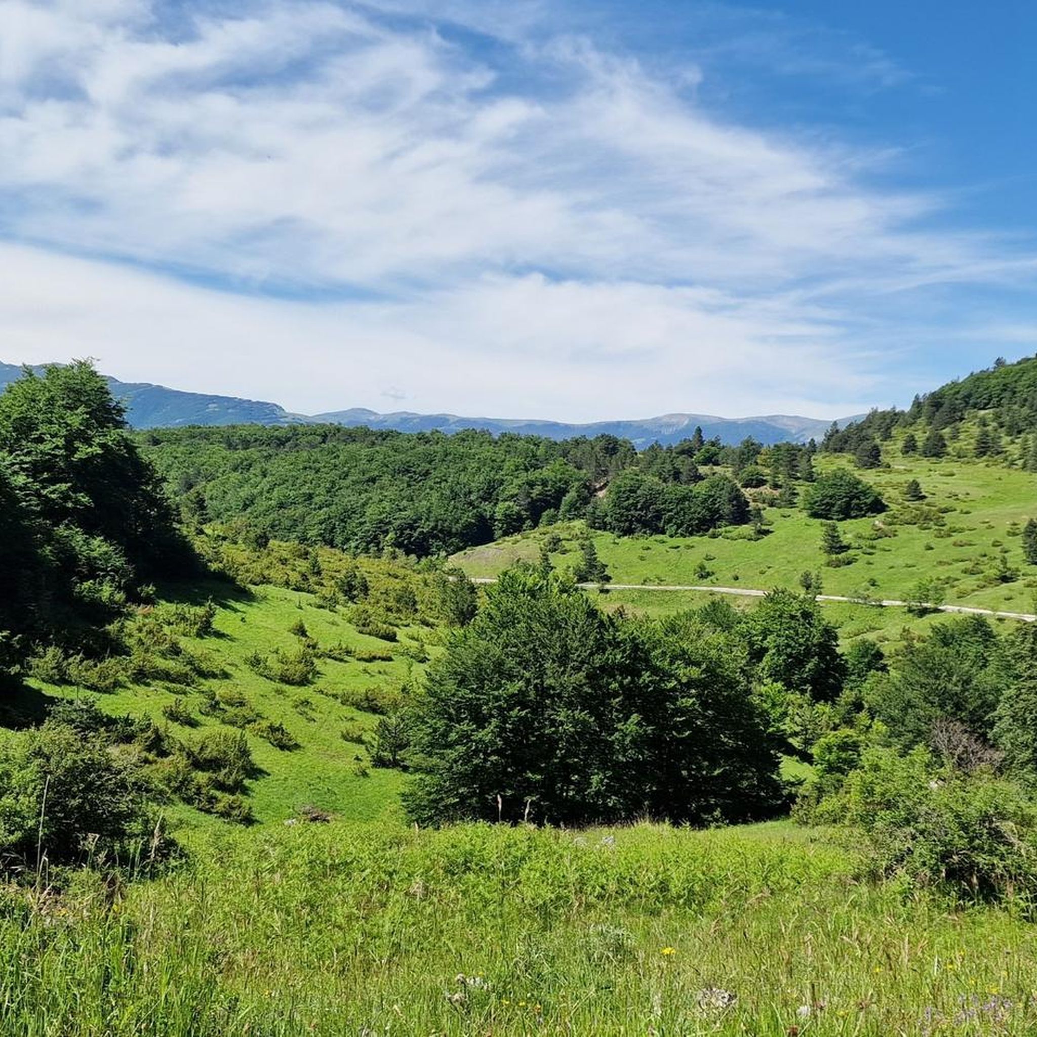
Mountain biking around Lama Dei Peligni offers diverse terrain within the Apennine mountains. The region is characterized by significant elevation changes, featuring both challenging mountain ascents and descents, alongside scenic river valleys and forested areas. Riders can expect a mix of technical trails and paths winding through natural landscapes. This area provides a robust setting for mountain biking, with routes traversing varied topography.
Best mountain bike trails around Lama Dei Peligni
- The most popular mountain bike trail is Monte d'Ugni Ring Trail, a 17.2 miles (27.7 km) trail that takes 3 hours 42 minutes to complete. This difficult route features substantial climbs and panoramic views.
- Another top favourite among local mountain bikers is San Martino Gorges and Verde River Springs Loop, a moderate 6.1 miles (9.8 km) path. This route winds through scenic gorges and alongside natural springs.
- Local mountain bikers also love the Trail B4 – NO MTB sign – MTB 7 Fonte della Fratta loop from Roccacaramanico, a 19.6 miles (31.5 km) trail leading through mountainous terrain and past natural springs, often completed in about 3 hours 46 minutes.
- Mountain biking around Lama Dei Peligni is defined by mountainous terrain, river valleys, and dense woodlands. The network offers options for various ability levels, from moderate loops to difficult mountain trails.
- The routes in Lama Dei Peligni are highly rated by the komoot community with an average score of 4.7 stars from over 40 reviews. More than 400 mountain bikers have used komoot to explore Lama Dei Peligni's varied terrain.
Last updated: August 29, 2026
4.9
(10)
34
riders
27.7km
03:43
1,340m
1,340m
Prepare for a challenging mountain biking adventure on the Monte d'Ugni Ring Trail, a difficult route spanning 17.2 miles (27.7 km) through Maiella National Park. You will face a significant climb, gaining 4398 feet (1341 metres) in elevation, which makes for a demanding ride. Expect rugged terrain and majestic views as you navigate this loop, with the impressive Monte Maiella often in sight. This journey is estimated to take around 3 hours and 42 minutes to complete, offering a substantial workout amidst stunning natural scenery.
Before you set out on this difficult mountain biking trail, make sure your bike is in excellent condition to handle the demanding terrain. Accessing the trailhead is typically straightforward, but it's always wise to check current local conditions. Pay particular attention to parking availability, as this can vary depending on the season and time of day. Planning your start time carefully will help you make the most of the 3 hours and 42 minutes estimated for this ride. Consider an early start to avoid crowds and enjoy cooler temperatures, especially during warmer months.
This challenging loop is ideal if you are seeking a demanding ride within the beautiful Maiella National Park. While specific details about the route are limited, you can anticipate a classic Italian mountain biking experience. You might pass by mountain huts such as Rifugio Martellese and Rifugio d'Ugni, which could offer potential stops along your journey. The trail promises a rewarding experience for experienced riders looking for a substantial physical test.
3.7
(3)
4
riders
9.76km
01:03
370m
370m
Explore the Gole di San Martino and Sorgenti del Fiume Verde on this moderate 6.1-mile mountain bike loop in Majella National Park.

Sign up for free
5.0
(2)
28
riders
41.6km
04:45
1,530m
1,530m
Hard mountain bike ride. Very good fitness required. Advanced riding skills necessary. Some portions of the route may require you to push your bike.
5.0
(2)
22
riders
35.9km
03:50
1,230m
1,230m
Hard mountain bike ride. Very good fitness required. Advanced riding skills necessary. Some portions of the route may require you to push your bike.
11
riders
30.4km
02:21
730m
730m
Moderate mountain bike ride. Good fitness required. Suitable for all skill levels.
Get access to more routes and recommendations from other explorers.
Sign up for free
Already have an account?
Our route recommendations are based on thousands of hikes, rides, and runs completed by other people on komoot.
Start today with a free account
Your next adventure awaits.
Login or Signup
Tips from the Community

beautiful beech forest with a gymkhana path
0
0

WARNING Coming from Sant'Eufemia, you'll see the sign for trail B4; on the right, it says "Fonte Lama Bianca 0.15," but below, there's another sign: "NO MTB." The trail shortly after becomes very dangerous for bicycles (even if you're pushing your bike). It's best to avoid it.
0
0
Near the hut there is an artificial well and a drinking trough, but the hut is closed and therefore not available.
0
0

Interesting, well-restored castle complex with worthwhile views from the tower of the entire old town of the medieval village of Pacentro and the beautiful surroundings.
0
0

Wonderful place made by mountain bike until we were I recommend it for those who love trekking and mountain bike
0
0

Pacentro is a pretty village located within the Majella National Park
0
0

It marks, whether you come from the south or the north, the end of the long climb.
1
0
Frequently Asked Questions
What is the typical difficulty level of mountain bike trails in Lama Dei Peligni?
The mountain bike trails around Lama Dei Peligni are predominantly challenging. Out of 32 available routes, 23 are classified as difficult, 8 as moderate, and only 1 as easy. Riders should be prepared for significant elevation changes characteristic of the Apennine mountains.
Are there any easy mountain bike trails suitable for beginners in Lama Dei Peligni?
While most trails are challenging, there is at least one easy mountain bike route available in Lama Dei Peligni. It's advisable for beginners to check the specific route details on komoot to ensure it matches their skill level and preferences.
What kind of terrain can I expect when mountain biking in Lama Dei Peligni?
You can expect a diverse and rugged landscape. The region features significant elevation changes, with both challenging mountain ascents and descents. Trails often traverse scenic river valleys, dense forested areas, and technical paths, offering a robust setting for mountain biking.
Are there any circular mountain bike routes in the area?
Yes, many of the mountain bike routes in Lama Dei Peligni are circular. For example, the Passo San Leonardo – Monte Miletto loop from Sant'Eufemia a Maiella is a challenging 40.36 km loop, and the MTB 7 Fonte della Fratta – Passo San Leonardo loop from Sant'Eufemia a Maiella offers another demanding circular option.
What are some scenic highlights or natural attractions I can see along the mountain bike trails?
The region offers stunning natural beauty. You might encounter the impressive Gorges of Fara San Martino, the serene San Giovanni Waterfall, or the historic Ponte del Vallone. Many routes also pass through picturesque mountain passes like Passo San Leonardo.
Are there any mountain huts or shelters along the routes for breaks or overnight stays?
Yes, there are several mountain huts and shelters in the vicinity that can serve as excellent resting points. Notable options include the Bruno Pomilio Mountain Hut, Bivacco Pelino, and Carlo Fusco Shelter. Always check opening times and availability before planning an overnight stay.
What do other mountain bikers say about the trails in Lama Dei Peligni?
The mountain bike trails in Lama Dei Peligni are highly regarded by the komoot community, with an average rating of 4.7 stars from nearly 50 reviews. Riders often praise the challenging nature of the routes, the stunning mountain scenery, and the diverse terrain that makes for an engaging riding experience.
What is the best time of year to go mountain biking in Lama Dei Peligni?
Given its mountainous terrain, the best time for mountain biking in Lama Dei Peligni is typically from late spring through early autumn (May to October). During these months, the weather is generally more stable, and trails are less likely to be affected by snow or heavy rain, offering optimal riding conditions.
Are there any long-distance mountain bike trails available?
Yes, Lama Dei Peligni offers several longer routes for those seeking extended rides. For instance, the Passo San Leonardo – Monte Miletto loop from Sant'Eufemia a Maiella is over 40 km long, and the Trail B4 – NO MTB sign – MTB 7 Fonte della Fratta loop from Roccacaramanico covers 31.5 km, providing substantial distances for experienced riders.
How many mountain bike trails are there in Lama Dei Peligni?
There are over 30 mountain bike trails available around Lama Dei Peligni, offering a wide range of options primarily for experienced riders due to the prevalence of difficult routes.
Is it possible to find cafes or refreshment points near the mountain bike trails?
While the trails themselves often traverse natural, wild areas, you can typically find cafes and refreshment points in the nearby towns and villages, such as Lama Dei Peligni itself or Roccacaramanico. It's always a good idea to plan your route and check for amenities beforehand, especially on longer rides.
Most popular attractions around Lama Dei Peligni

Get inspired with the komoot mobile app


Explore more
Browse the best MTB trails in other regions.
