The best walks and hikes around Lama Dei Peligni
4.6
(1039)
5,524
hikers
115
hikes
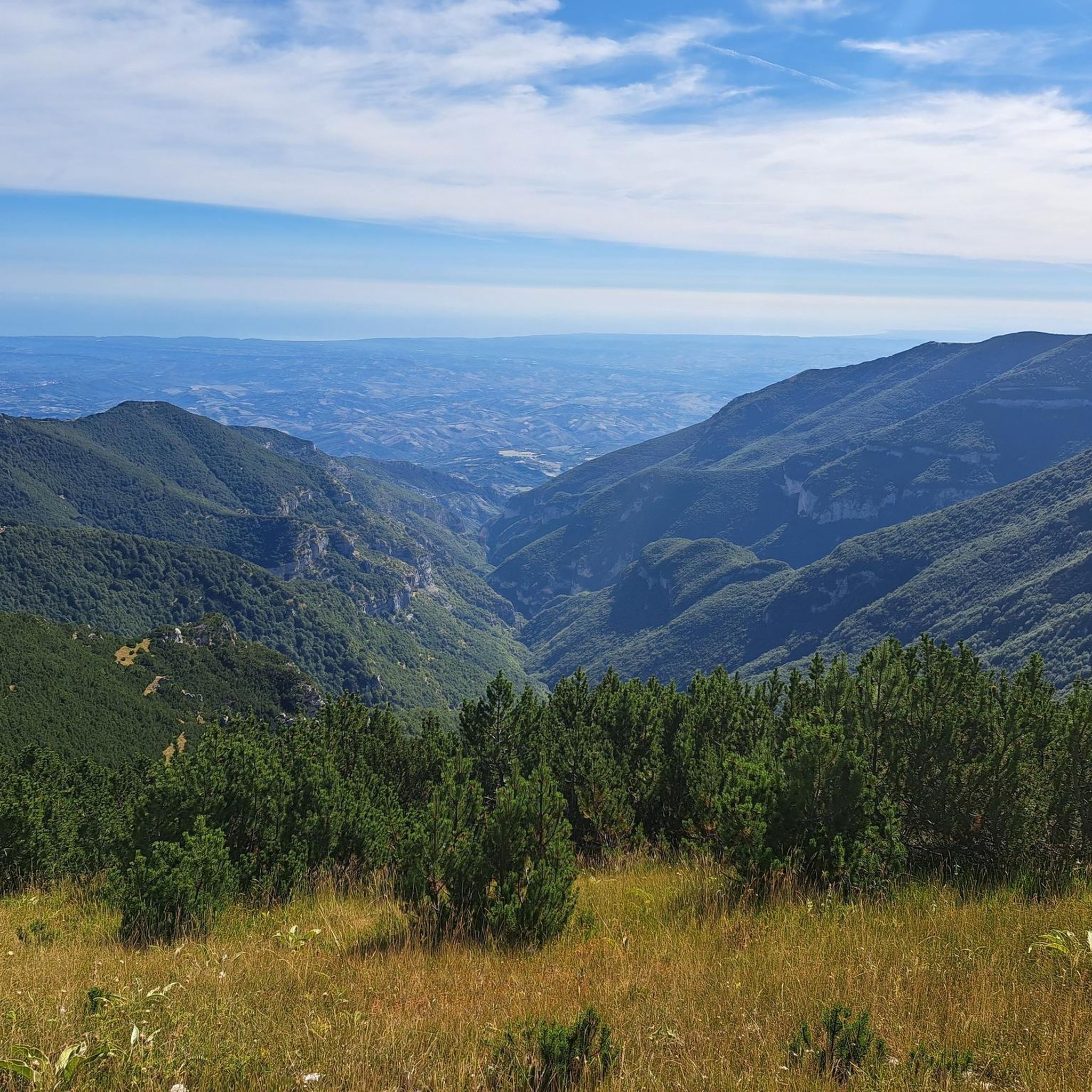
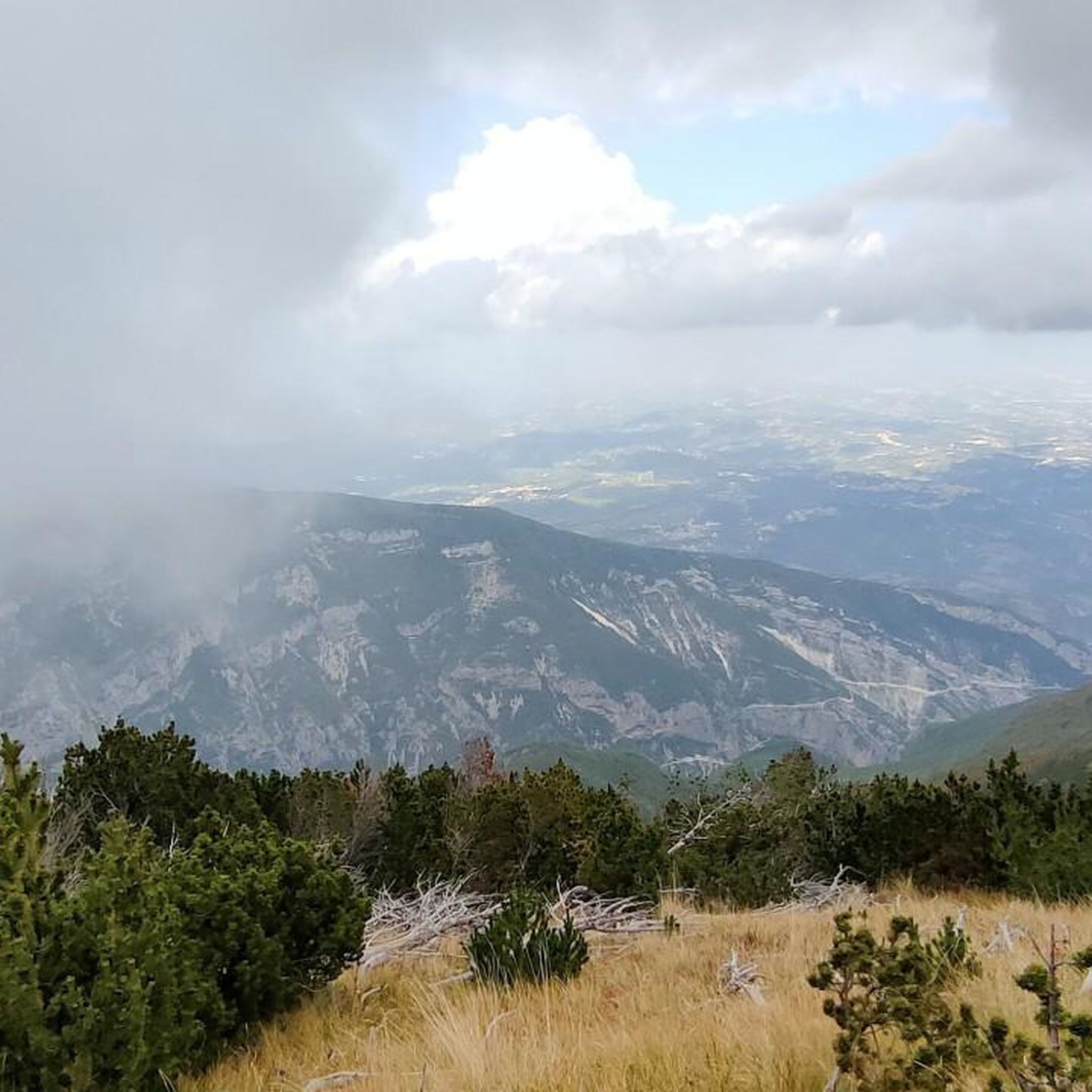
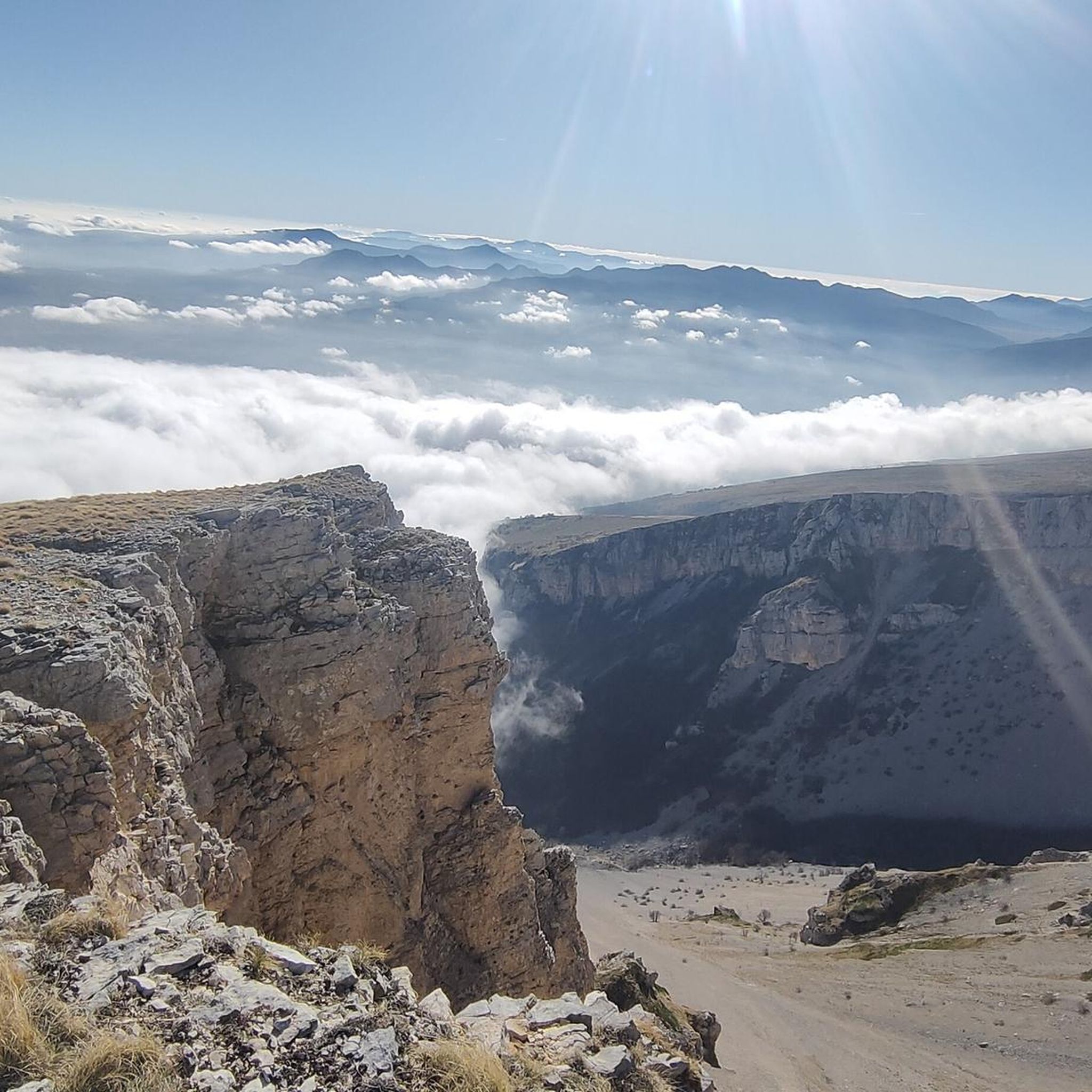
Hiking around Lama Dei Peligni offers access to the diverse landscapes of the Majella National Park. The region is characterized by deep gorges, river valleys, and mountainous terrain, providing varied elevation changes. Trails often follow watercourses like the Verde River and navigate through significant geological formations. This area presents a range of hiking experiences, from gentle river walks to more challenging ascents.
Best hiking trails around Lama Dei Peligni
- The most popular hiking route is Sources of the Verde River…
Last updated: August 28, 2026
4.9
(13)
45
hikers
Easy hike. Great for any fitness level. Easily-accessible paths. Suitable for all skill levels.
4.8
(8)
63
hikers
16.0km
09:08
1,550m
1,550m
Hard hike. Very good fitness required. Sure-footedness, sturdy shoes and alpine experience required.

Sign up for free
4.0
(1)
11
hikers
12.1km
04:58
940m
950m
Hard hike. Very good fitness required. Easily-accessible paths. Suitable for all skill levels.
4.3
(3)
20
hikers
7.47km
03:59
950m
950m
Hard hike. Very good fitness required. Easily-accessible paths. Suitable for all skill levels.
3.0
(1)
10
hikers
6.12km
02:52
630m
630m
Moderate hike. Good fitness required. Easily-accessible paths. Suitable for all skill levels.
Get access to more routes and recommendations from other explorers.
Sign up for free
Already have an account?
Our route recommendations are based on thousands of hikes, rides, and runs completed by other people on komoot.
Start today with a free account
Your next adventure awaits.
Login or Signup
Tips from the Community

Parking, ticket office for the Grotta del Cavallone and departure point for the cable car that will take you almost to the entrance: once you get off, about 250 steps await you before reaching the entrance and the meeting point for the visit to the Cave. The cable car itself also offers a wonderful view of the valley below and the surrounding mountains; you can also notice the entrances to other caves that, however, are not visitable.
1
0
Very suggestive caves, with competent and helpful tourist guides; the visit lasts about an hour and covers about 1 km entirely inside the cavities. The temperature is constant around 10°C, with 96% humidity: therefore, adequate clothing is recommended. Located at 1475 meters above sea level, they are reachable both on foot via a path and by a low-cost cable car. Once you get off the cable car, you need to climb about 250 steps to reach the cave entrance. It is important to buy the ticket in advance: visits are exclusively guided and available in specific time slots, which vary depending on the time of year. It is advisable to call before organizing an excursion, as the opening hours of the guided tours are limited.
1
0

fantastic route
0
0

It is a beautiful river and its waters are used to produce pasta. In fact, in the immediate vicinity, there are two world-famous pasta factories.
0
0

Nice place for a break
0
0

Wonderful place made by mountain bike until we were I recommend it for those who love trekking and mountain bike
0
0

Lovely cold drinking water and a shady spot.
0
0
Frequently Asked Questions
How many hiking trails are available around Lama Dei Peligni?
There are nearly 100 hiking trails around Lama Dei Peligni, offering a wide range of experiences. These include 9 easy routes, 34 moderate trails, and 54 challenging hikes, catering to various skill levels.
What kind of terrain can I expect on hikes in Lama Dei Peligni?
The region is characterized by diverse landscapes within the Majella National Park, featuring deep gorges, river valleys, and mountainous terrain. You'll find trails that follow watercourses like the Verde River and navigate through significant geological formations, providing varied elevation changes.
Are there any easy, family-friendly hiking routes in Lama Dei Peligni?
Yes, Lama Dei Peligni offers several easy routes suitable for families. An excellent option is the Sources of the Verde River – Gorges of Fara San Martino loop from Fara San Martino, which is 1.9 miles (3.1 km) long and follows the Verde River through the Fara San Martino gorges.
What are the best seasons for hiking in Lama Dei Peligni?
Given the region's mountainous terrain and river valleys, spring and autumn generally offer the most pleasant conditions for hiking, with milder temperatures and vibrant scenery. Summer can be warm, especially in the valleys, while winter may bring snow to higher elevations, making some trails more challenging or inaccessible.
Are there any circular hiking routes in the area?
Yes, many trails in Lama Dei Peligni are designed as loops. For example, the challenging Vallone di Santo Spirito – Gorges of Fara San Martino loop from Fara San Martino is a substantial 11.6 miles (18.7 km) circular route through deep gorges and valleys.
What do other hikers say about the trails in Lama Dei Peligni?
The routes in Lama Dei Peligni are highly rated by the komoot community, with an average score of 4.6 stars from over 900 reviews. Hikers often praise the stunning natural beauty of the gorges and river paths, as well as the variety of terrain available.
What are some notable landmarks or attractions to see near the hiking trails?
The region is rich in historical and natural attractions. You can explore impressive sites like Castello di Roccascalegna or the Fortified Village of Pacentro. Nature lovers might appreciate the scenic Passo San Leonardo or the vast Majella National Park itself.
Are there any less crowded hiking options for a more tranquil experience?
While popular routes like those in Fara San Martino can see visitors, the Majella National Park offers many trails. To find less crowded options, consider exploring some of the moderate or difficult trails further from main access points, such as the Rifugio Tarì – Grotta del Cavallone loop from Lama dei Peligni, which offers a more secluded experience.
Can I find trails with scenic viewpoints in Lama Dei Peligni?
Absolutely. The mountainous and gorge-filled landscape naturally provides many opportunities for scenic views. For instance, the View from Roccascalegna Castle offers panoramic vistas of the surrounding area, and many trails within the Majella National Park climb to elevated positions with expansive outlooks.
What kind of wildlife might I spot on the trails?
As part of the Majella National Park, Lama Dei Peligni is home to diverse wildlife. Hikers might encounter various bird species, deer, and if very lucky, even some of the park's more elusive inhabitants like wolves or bears, particularly in quieter, more remote areas.
Are there any challenging hikes for experienced trekkers?
Yes, experienced trekkers will find plenty of challenging options. The region has 54 difficult trails, including the Gorges of Fara San Martino – Vallone di Santo Spirito loop from Fara San Martino, a 4.0 miles (6.5 km) path with varied and demanding terrain.
Most popular attractions around Lama Dei Peligni

Get inspired with the komoot mobile app


Explore more
Browse the best Hikes in other regions.
