The best walks and hikes around Lauria
4.2
(310)
1,307
hikers
60
hikes
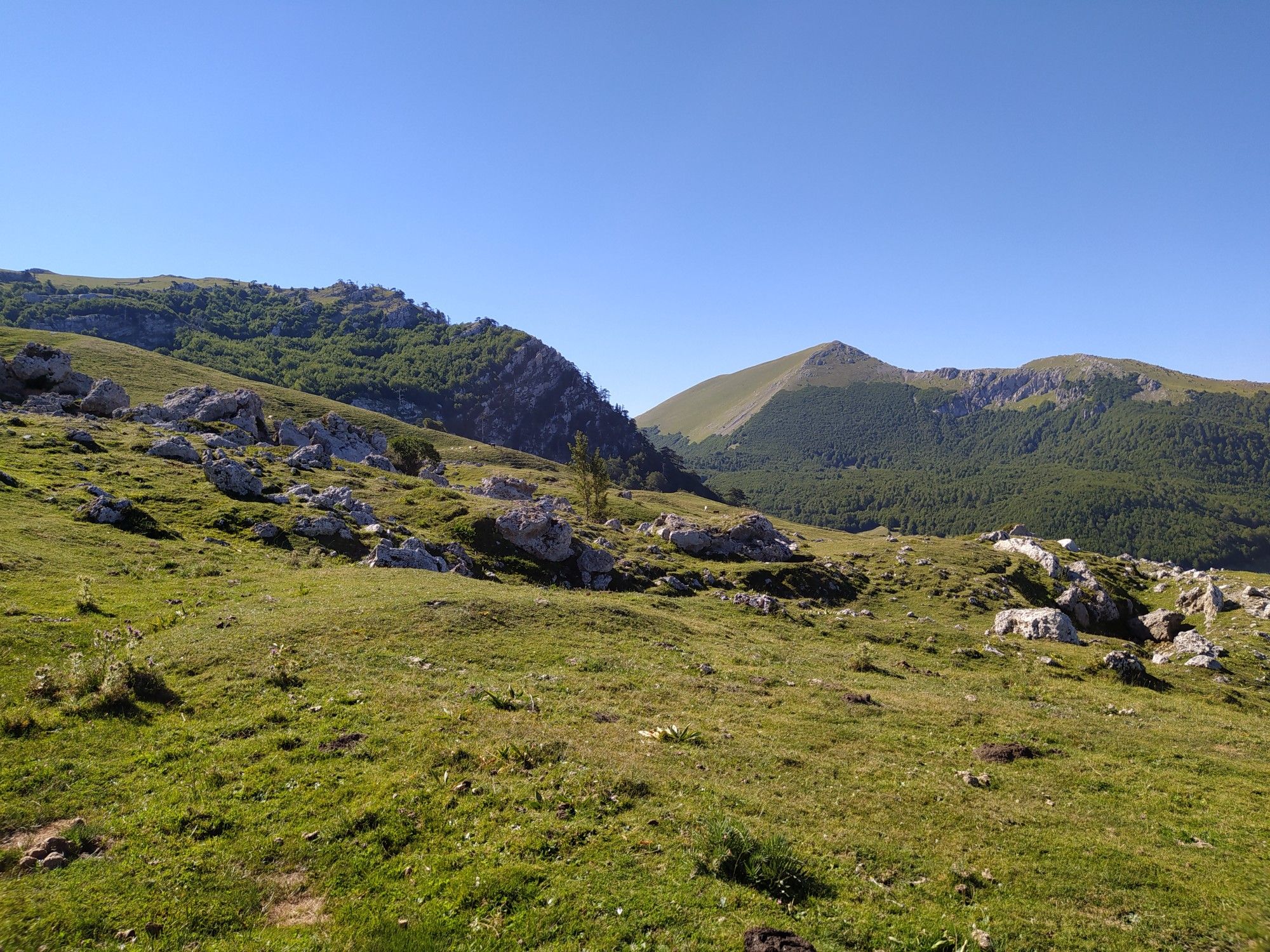
Hiking around Lauria provides access to the diverse landscapes of Pollino National Park, one of Europe's largest protected areas. The region features high-altitude peaks, striking dolomitic rock formations, and extensive forests. Numerous rivers and waterways crisscross the park, creating varied riparian ecosystems. This terrain offers a range of hiking experiences, from challenging mountain ascents to serene forest paths.
Best hiking trails around Lauria
- The most popular hiking route is Monte del Papa from Lago Sirino – loop tour, a…
Last updated: October 26, 2026
4.7
(16)
62
hikers
8.38km
02:58
480m
480m
Embark on the Monte del Papa from Lago Sirino loop tour, a moderate hike spanning 5.2 miles (8.4 km) with an elevation gain of 1563 feet (476 metres). This route…
1.0
(1)
3
hikers
9.75km
03:39
660m
650m

4.6
(7)
23
hikers
Moderate hike. Good fitness required. Easily walkable paths.
4.5
(10)
45
hikers
8.51km
03:15
580m
570m
Moderate hike. Good fitness required. Easily walkable paths.
4.2
(6)
13
hikers
17.2km
05:04
470m
470m
Hard hike. Very good fitness required. Easily walkable paths.
Get access to more routes and recommendations from other explorers.
Already have an account?
Our route recommendations are based on thousands of hikes, rides, and runs completed by other people on komoot.
Start today with a free account
Your next adventure awaits.



Other adventures around Lauria

Tips from the Community

Lauria Inferiore is located in Calabria, in the south of Italy, nestled in the green foothills of the Pollino mountains. The mountain village captivates with its narrow alleys, traditional stone houses, and a quiet, original atmosphere. Beautiful views of wooded slopes and the landscape of northern Calabria open up around the village.
0
0


climb with a roughly constant gradient, not too challenging
0
0

Lake Laudemio, also known as Remmo, is located at an altitude of 1550 meters and is the southernmost glacial lake in Italy. It was formed in the Quaternary period following the damming of a frontal moraine carried by a large 4 km long glacier that descended from the northern slope of the Sirino mountain area, whose highest peak is Mount Papa at 2005 meters. In summer, given the altitudes reached, it is advisable to always bring a windproof jacket for the descent. I do not recommend ascending during the harshest winter months unless you are equipped with technical clothing for cold climates and the presence of a lot of snow.
0
0
Highest peak of the Sirino massif. Wonderful panoramic views
6
0

A beautiful lake where you can enjoy a relaxing break on its banks.
0
0
A fabulous place reachable on foot but also by mtb, you will be fascinated.
3
0
This lake is the southernmost glacial lake in Italy, a wonderful place immersed in a fairytale setting.
1
0
Frequently Asked Questions
What types of hiking trails can I find around Lauria?
Lauria, situated at the edge of Pollino National Park, offers a diverse range of hiking trails. You'll find everything from easy, regenerative walks perfect for families to challenging long-distance treks across high-altitude peaks and through ancient forests. The terrain includes striking dolomitic rock formations, lush plateaus, and deep gorges carved by rivers, providing varied experiences for all skill levels.
Are there any easy or family-friendly hiking options in Lauria?
Yes, Lauria offers 10 easy hiking routes suitable for families or those looking for a relaxed walk. These trails often wind along serene waterways or through less strenuous forest paths, allowing you to enjoy the natural beauty of the Pollino National Park without significant challenge. For example, the former Lauria station has been repurposed for walking, offering an accessible option.
What are some notable natural features or landmarks to look out for while hiking in the Lauria region?
The Lauria region is rich in natural and historical landmarks. You can encounter the unique Loricato Pine, often called a 'living fossil,' in high-altitude areas. Trails also lead to stunning geological formations, rivers like the Argentino and Abatemarco, and panoramic viewpoints. Don't miss the Lake Sirino, or the Statue of Christ the Redeemer and Sanctuary of San Biagio, which offers cultural insight alongside natural beauty.
Can I find circular hiking routes around Lauria?
Yes, there are several excellent circular hiking routes available. One popular option is the Monte del Papa from Lago Sirino – loop tour, which is a moderate 8.4 km trail offering views of Lago Sirino. Another is the Rifugio Conserva – Monte del Papa Summit loop from Rifugio Conserva, also around 8.4 km, providing a rewarding ascent.
What is the best time of year to go hiking in Lauria?
The best time to hike in Lauria largely depends on your preferred experience. Spring and early summer (April to June) offer vibrant wildflowers and pleasant temperatures, ideal for exploring alpine meadows. Autumn (September to October) provides stunning foliage. For challenging high-altitude routes, summer (July to August) is generally best, though some trails are accessible year-round. Always check local weather conditions before heading out.
Are there any long-distance hiking trails accessible from Lauria?
Yes, Lauria provides access to sections of longer trails. The Grand Italian Trail - Stage T06 is a moderate 9.8 km section that traverses varied terrain with significant elevation gain, perfect for those looking for a more extended adventure as part of a larger network.
What do other hikers say about the trails in Lauria?
The hiking trails around Lauria are highly regarded by the komoot community, with an average rating of 4.3 out of 5 stars from over 240 reviews. Hikers frequently praise the stunning panoramic views, the diverse landscapes of Pollino National Park, and the variety of routes available for different skill levels. Over 1000 hikers have used komoot to explore this area.
Are there any specific peaks or summits I can hike to near Lauria?
Absolutely. The region is known for its towering peaks. You can hike to the Monte del Papa Summit, which is featured in several loop tours. Other notable summits in the vicinity include Monte Santa Croce Summit, Monte Raparo Summit, and Pizzo Falcone summit, all offering breathtaking views.
What kind of wildlife might I encounter on the trails around Lauria?
The undisturbed nature of Pollino National Park means opportunities for observing diverse wildlife. While specific sightings are never guaranteed, the trails pass through habitats for various species. The park is home to a rich ecosystem, including birds of prey, deer, and other mammals, particularly in the more remote forest and mountain areas.
Are there any historical or cultural sites integrated with the hiking experience in Lauria?
Yes, the region beautifully blends natural beauty with historical and cultural elements. Lauria itself has a medieval charm, with its two districts, Lauria Superiore and Lauria Inferiore, offering exploration opportunities. The former Lauria station, part of a historic narrow-gauge line, has been repurposed for walking, providing a glimpse into the area's past while enjoying the outdoors. The Statue of Christ the Redeemer and Sanctuary of San Biagio is another significant cultural landmark.
What is the general elevation and terrain like for hiking around Lauria?
Hiking around Lauria involves diverse terrain and significant elevation changes. As part of Pollino National Park, the area features high-altitude peaks exceeding 2,200 meters, striking dolomitic rocks, and deep gorges. Trails can range from gentle slopes along rivers to steep ascents in mountainous areas, offering varied challenges and panoramic views from the mountains to the Ionian and Tyrrhenian Seas.
Where can I find information about Pollino National Park?
Lauria is located at the edge of the vast Pollino National Park, one of Europe's largest protected areas and a UNESCO Geopark. For more detailed information about the park's features, conservation efforts, and general visitor guidelines, you can visit the official Italian tourism website: italia.it.
Most popular attractions around Lauria

Get inspired with the komoot mobile app


Explore more
Browse the best Hikes in other regions.
