The best running trails in Donau-Auen National Park
4.4
(2243)
87,580
runners
10
runs
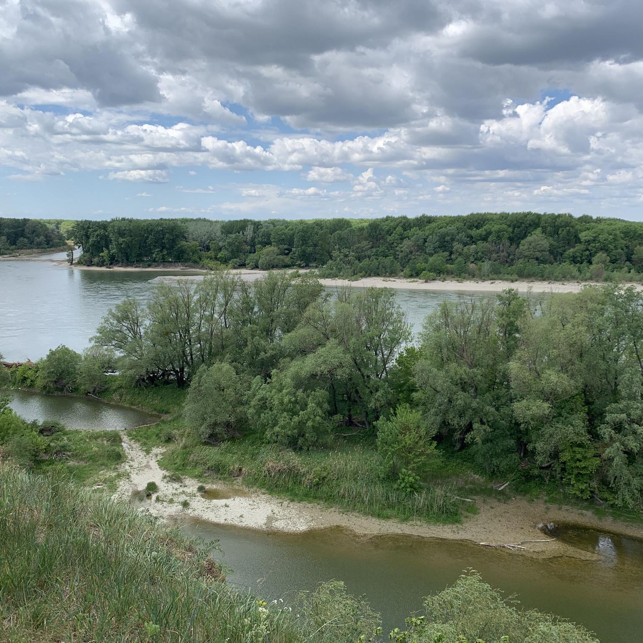
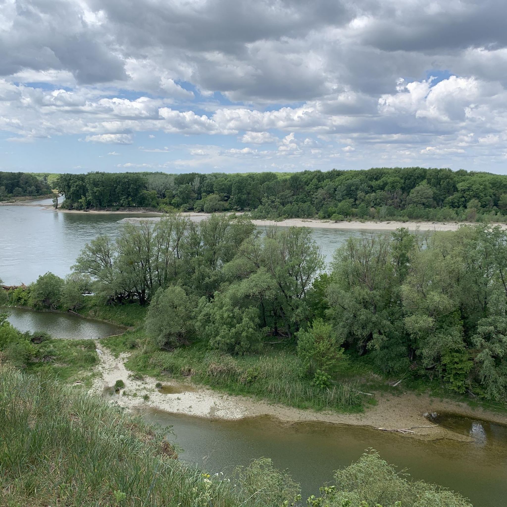
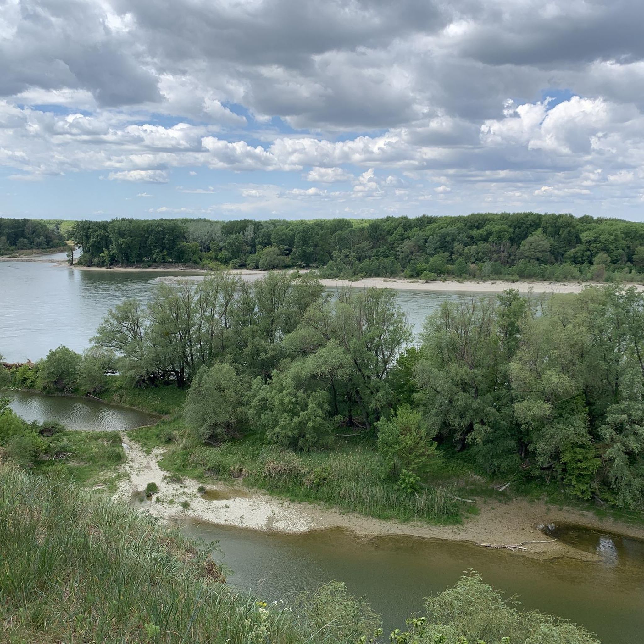
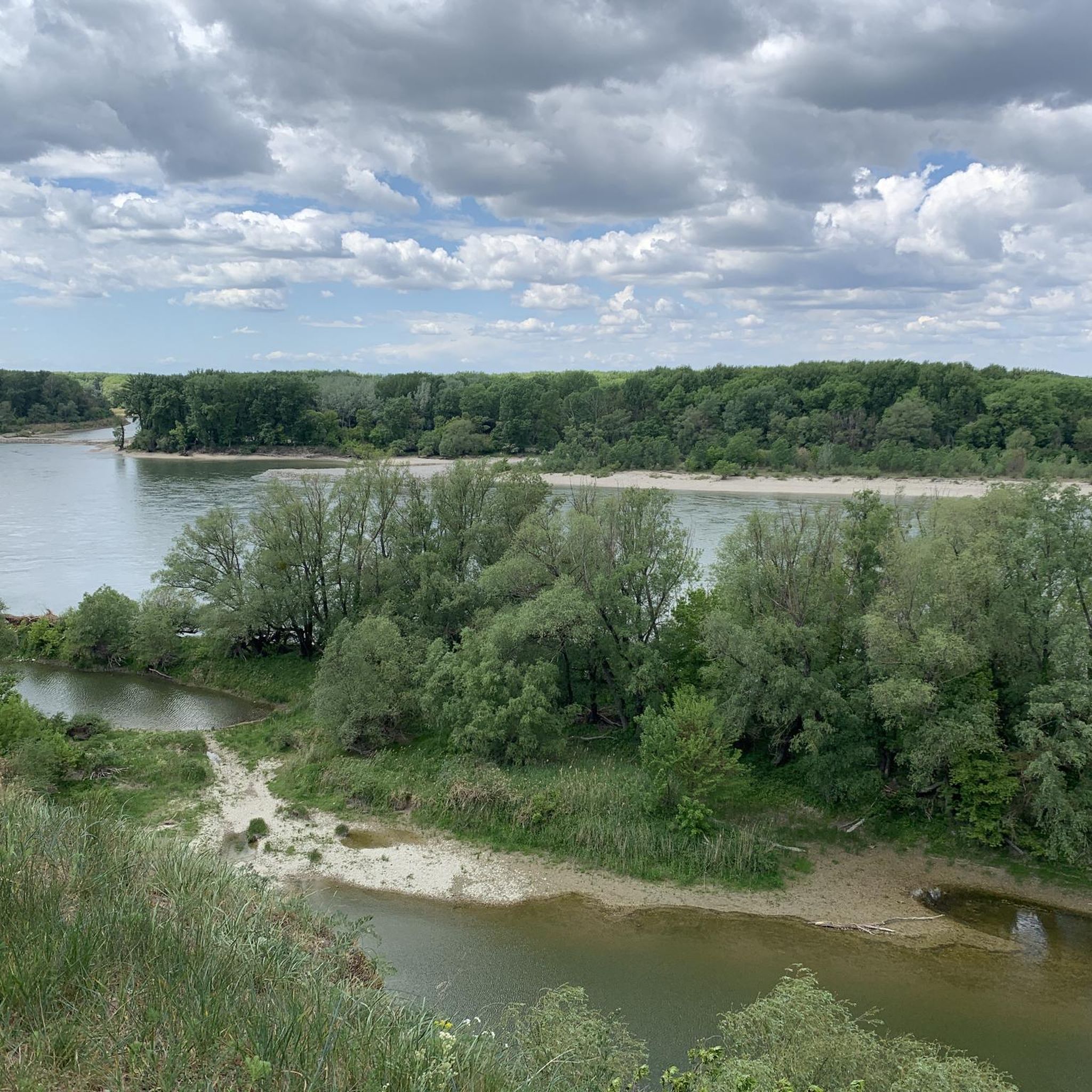
Jogging in Donau-Auen National Park offers routes through one of Central Europe's last great floodplain landscapes, situated between Vienna and Bratislava. The region is characterized by the freely flowing Danube River, extensive riparian woodlands, and diverse wetlands. Runners can experience a dynamic interplay of water and land, with paths winding through lush forests and open meadows. The terrain is generally flat, making it suitable for various running abilities.
Best jogging routes in Donau-Auen National Park
- The most popular jogging route is Trail to Panozzalacke – In the Lobau loop from Donaustadt, a 5.6 miles (9.1 km) trail that takes about 1 hour to complete. This route leads through lush riparian woodlands and past quiet oxbow lakes.
- Another top favourite among local runners is Running loop from Schleuse Freudenau, a moderate 7.3 miles (11.7 km) path. This route follows the Danube River, offering views of the water and surrounding floodplains.
- Local runners also love the Donau-Oder-Kanal Becken II loop from Auvorstadt, a 5.5 miles (8.8 km) trail leading through the historic Donau-Oder Canal and adjacent meadows, often completed in about 1 hour.
- Jogging in Donau-Auen National Park is defined by riparian woodlands, floodplains, and the Danube River. The network offers options for different ability levels, from easy paths to more challenging moderate routes.
- The routes in Donau-Auen National Park are highly rated by the komoot community with an average score of 4.5 stars from over 16 reviews. More than 340 runners have used komoot to explore Donau-Auen National Park's varied terrain.
Last updated: October 5, 2026
4.8
(11)
112
runners
9.20km
00:57
20m
20m
Moderate run. Good fitness required. Mostly paved surfaces. Suitable for all skill levels.
2.8
(28)
94
runners
Moderate run. Good fitness required. Mostly paved surfaces. Suitable for all skill levels.

32
runners
4.00km
00:25
10m
10m
Easy run. Great for any fitness level. Mostly paved surfaces. Suitable for all skill levels.
5.0
(3)
28
runners
8.79km
00:54
20m
20m
Moderate run. Good fitness required. Mostly paved surfaces. Suitable for all skill levels.
18
runners
Moderate run. Good fitness required. Mostly paved surfaces. Suitable for all skill levels.
Get access to more routes and recommendations from other explorers.
Already have an account?
Our route recommendations are based on thousands of hikes, rides, and runs completed by other people on komoot.
Start today with a free account
Your next adventure awaits.
Popular around Donau-Auen National Park

Central Alps Trail Eastern Section – Discover Austria
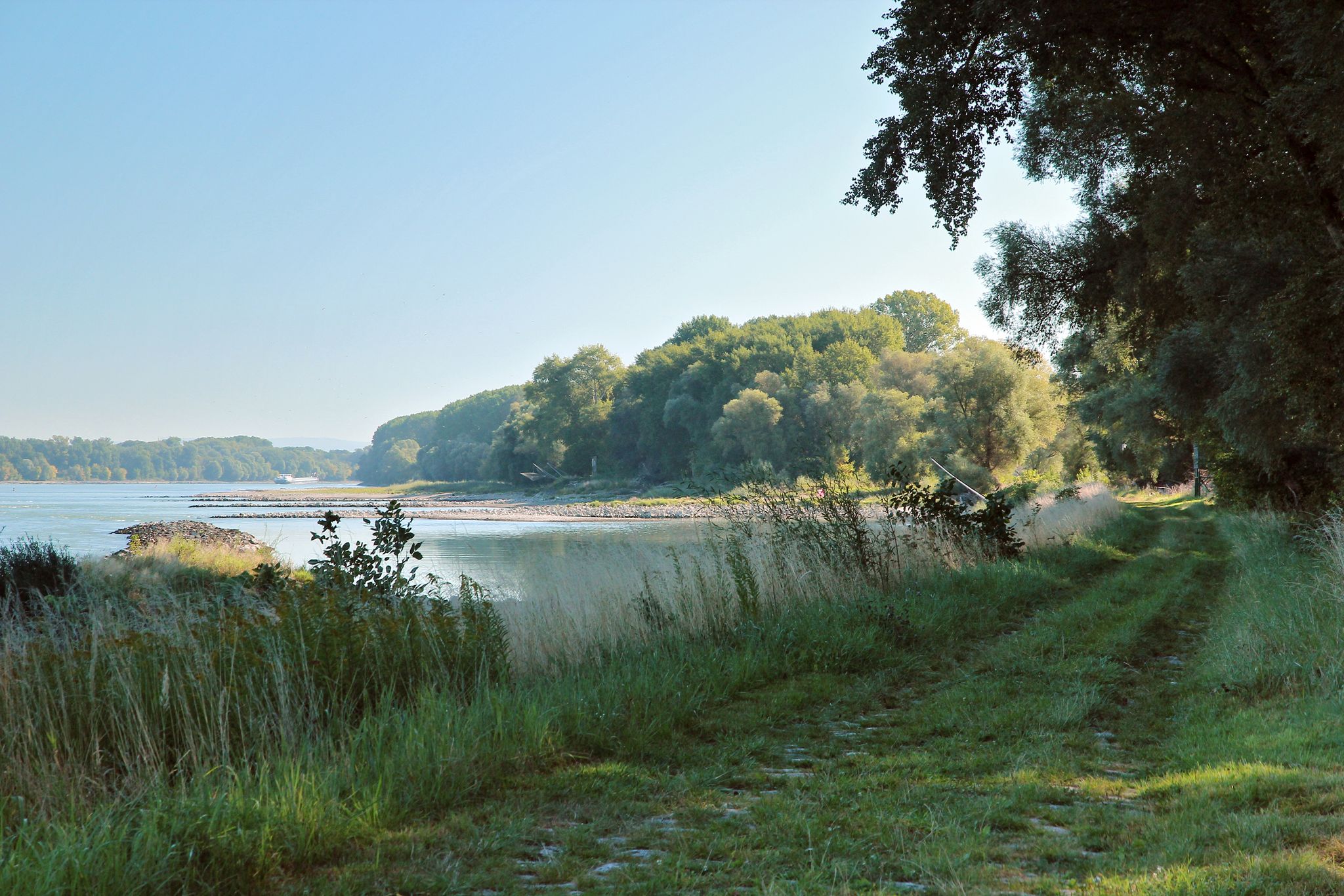
From Vienna to the state border at Hainburg - Tours in the National Park Donau-Auen
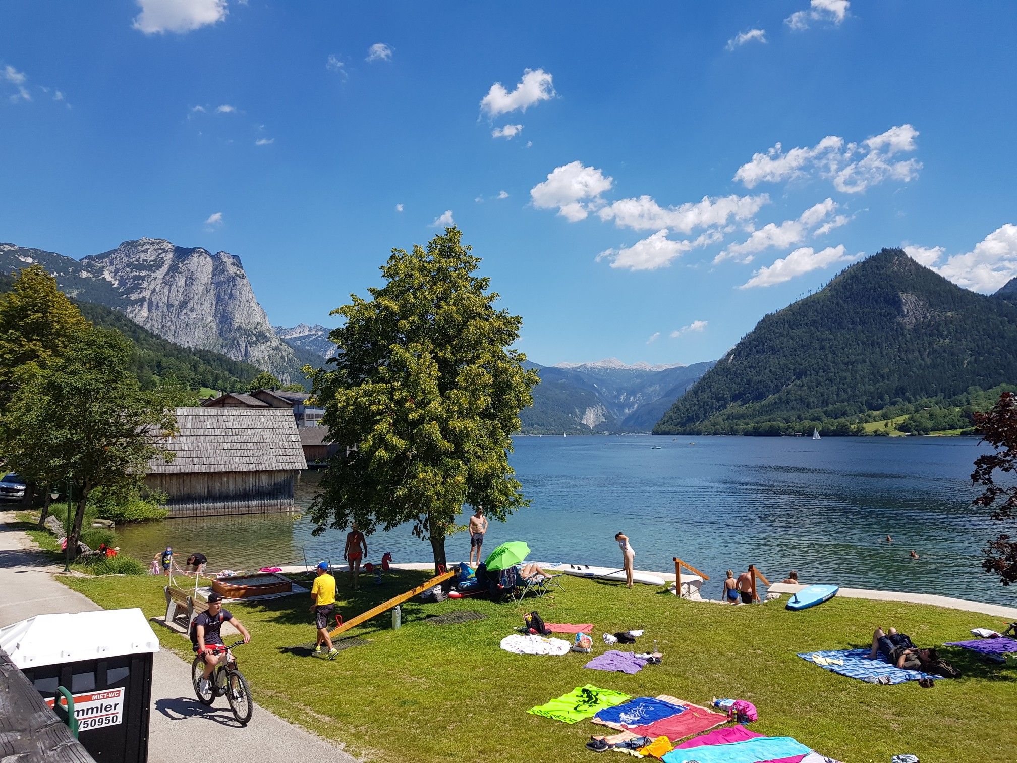
Austria's sensational swimming lakes
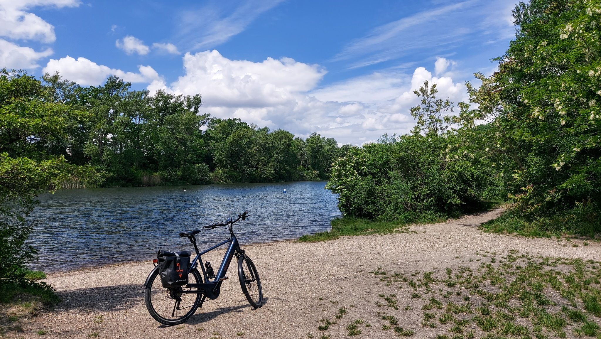
The most beautiful bathing spots around Vienna
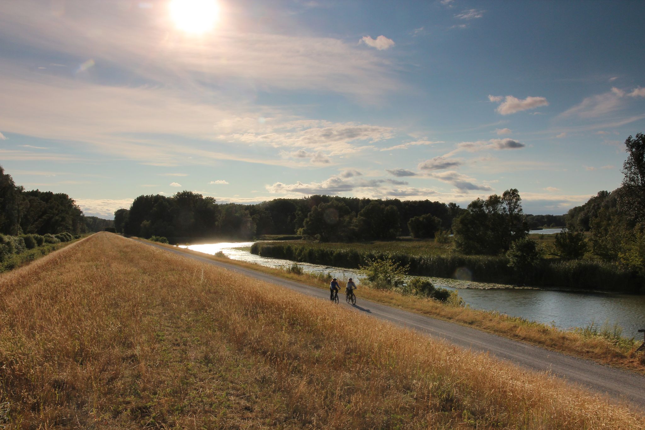
Radrouten im Nationalpark Donau-Auen
Hiking in Donau-Auen National Park
Cycling in Donau-Auen National Park
Road Cycling Routes in Donau-Auen National Park
MTB Trails in Donau-Auen National Park

Gravel biking in Donau-Auen National Park
Other adventures in Donau-Auen National Park


Tips from the Community

The weir 2 is a weir structure in the New Danube in the south of Vienna. It provides a connection to the Danube Island for pedestrians and cyclists. It was completed in 1988. Like the other two weir structures of the New Danube, weir 2 serves to regulate the water level of the New Danube. It consists of five weir fields with a clear width of 30.6 meters. It is a rigid system, meaning it is normally not moved, unlike the weirs at power plants. The weir closures are hydraulically operated pressure segments with a fixed overflow hood. At weir 2, two of the closures also have an additional stop log. Since it can also happen at this weir that the water flows through in the opposite direction, the segments are also designed for tensile stress. As the first test drillings for this structure revealed that the marl only occurs at a depth of 40 meters and is overlaid by very permeable sands, the site had to be relocated 470 meters from the planned location first. A necessary remediation of contaminated sites in the Lobau then forced a further shift of 50 meters.
1
0
In the years 1785/86[2], the "chamber engineer" Johann Sigismund Hubert, on the orders of Emperor Joseph II, built a protective dam in the area from Langenzersdorf to Floridsdorf, which was intended to prevent floodwaters from entering the Marchfeld. Some Danube arms, such as the Schwarze Lacke, were separated from the river. But already at the next major flood in November 1787, the dam could not withstand the masses of water. The name Hubertusdamm is a reminder of engineer Hubert.[2]
1
0
Since the end of July (!) only a narrow trickle... even though the water stretch, which extends from the Alte Donau through Stadlau, through the Mühlwasser over Aspern, over the Esslinger Furt and the Groß-Enzersdorfer arm down to the natural 2nd basin of the Danube-Oder Canal, is officially and actually supplied with water from Vienna. However, according to the method "Too much to die, too little to live."
1
0

Beautiful wooden footbridge in the middle of the upper Lobau. The Lobau National Park House and the Knusperhäuschen can be reached within 15 minutes via beautiful walking paths.
0
0
To commemorate the events of the Pentecost days in 1809 for later generations, memorial stones were erected at the then important points of the French advance in the Lobau - popularly known as "Napoleon Stones". Over the years, overgrown by the floodplain forest, some of the total of 6 small obelisks were hardly to be found anymore. In the course of the realization of the "Donauauen" National Park, they were renovated. So you can now comfortably hike to these memorial sites on newly created paths.
1
0
Everything practically bone dry… The bridge has a purely decorative function
2
0

A pleasant, shady section of the route through the forest, next to and over railway tracks.
0
0
The bridge offers a great opportunity to cross the Danube's relief channel.
0
0
Frequently Asked Questions
What kind of terrain can I expect on the running trails in Donau-Auen National Park?
The Donau-Auen National Park is characterized by its unique floodplain landscape. You'll find paths winding through lush riparian woodlands, past quiet oxbow lakes, and along the meandering Danube River. The terrain is generally flat, making it suitable for various running abilities, from easy paths to more moderate routes.
Are there any circular running routes in Donau-Auen National Park?
Yes, many of the routes in the park are designed as loops, offering a convenient way to explore the area. For example, the Trail to Panozzalacke – In the Lobau loop from Donaustadt is a popular 5.6-mile (9.1 km) option, and the Donau-Oder-Kanal Becken II loop from Auvorstadt covers 5.5 miles (8.8 km) through historic areas and meadows.
What are the difficulty levels of the jogging routes in Donau-Auen National Park?
The park offers a range of running routes suitable for different fitness levels. Most trails are considered moderate, but there are also easier options available. The generally flat terrain, shaped by the Danube River, makes many routes accessible for beginners while still providing enjoyable distances for more experienced runners.
Can I bring my dog on the running trails in Donau-Auen National Park?
Donau-Auen National Park is a protected natural area. While dogs are generally welcome, it is crucial to keep them on a leash at all times to protect the diverse wildlife and ensure a pleasant experience for all visitors. Always check specific trail regulations before heading out.
Are there any family-friendly running routes in the park?
Yes, the park's generally flat and well-maintained trails make it suitable for families. Routes like the "In der Lobau Trail" (mentioned in regional research) are known to be easy and family-friendly. The diverse landscapes and opportunities for wildlife spotting can make running an engaging activity for all ages.
What kind of natural features or landmarks can I see while running in Donau-Auen National Park?
You'll encounter a rich variety of natural features and historical landmarks. Expect to see extensive riparian woodlands, quiet oxbow lakes, and the free-flowing Danube River. Notable points of interest include the Josefsteg Bridge, the Röthelstein Castle Ruins, and the Napoleon's Headquarters Memorial. The park is also home to diverse wildlife, offering chances to spot various bird species, deer, or beavers.
What do other runners enjoy most about jogging in Donau-Auen National Park?
The running routes in Donau-Auen National Park are highly rated by the komoot community, with an average score of 4.5 stars from over 16 reviews. Runners often praise the serene natural settings, the lush riparian woodlands, and the peaceful atmosphere along the Danube River, making it an ideal escape for outdoor activity.
Is there public transport access to the running trails in Donau-Auen National Park?
Yes, the park is situated between Vienna and Bratislava, making it relatively accessible. Specific entry points and visitor centers often have connections to public transport, allowing you to reach various starting points for your run without a car. It's advisable to check local transport schedules for the most convenient access to your chosen trail.
Are there specific parking areas for accessing jogging routes?
Yes, various access points to the national park's trails offer parking facilities. For example, routes like the Running loop from Schleuse Freudenau are often accessible from designated parking areas near the Danube. It's recommended to check the specific route details on komoot for parking information relevant to your chosen starting point.
What is the best time of year to go running in Donau-Auen National Park?
Donau-Auen National Park offers a compelling experience year-round. Spring and autumn provide pleasant temperatures and vibrant scenery with changing foliage or blooming wildflowers. Summer is also popular, though it can be warmer, while winter offers a unique, tranquil landscape, especially along the frozen oxbow lakes and riverbanks. Always be mindful of seasonal trail conditions, particularly after heavy rainfall or during winter freezes.
How many running routes are available in Donau-Auen National Park?
There are over 10 dedicated running routes available in Donau-Auen National Park, ranging from easy to moderate difficulty. These routes are well-documented on komoot, with over 340 runners having used the platform to explore the park's diverse terrain.
Are there any longer, more challenging running routes for advanced runners?
While the park's terrain is generally flat, some routes offer longer distances and can be combined for a more challenging run. For instance, the Hainburg Boat Dock – Ruins of Röthelstein Castle loop from Hainburg an der Donau Personenbf is a moderate 7.3-mile (11.7 km) route with more significant elevation gain compared to other park trails, providing a good workout for advanced runners.
Most popular routes in Donau-Auen National Park
Most popular attractions in Donau-Auen National Park

Get inspired with the komoot mobile app


Explore more
Browse the best Running Trails & Routes in other regions.
