The best road cycling routes in Acantilados Y Fondos Marinos Tesorillo-Salobreña
4.5
(204)
10,789
riders
74
rides
Road cycling routes in Acantilados Y Fondos Marinos Tesorillo-Salobreña traverse a diverse landscape on the Costa Tropical of Granada. The region features rocky coastal cliffs, small coves, and fertile valleys known for subtropical crops like custard apples, mangoes, and avocados. Inland, routes ascend towards the foothills, offering varied elevation profiles. This area provides a mix of coastal and undulating terrain suitable for road cyclists.
Best road cycling routes in Acantilados Y Fondos Marinos Tesorillo-Salobreña
- The most popular road cycling route…
Last updated: November 5, 2026
4.3
(6)
320
riders
89.2km
04:55
1,850m
1,860m
5.0
(1)
164
riders
96.0km
05:12
1,910m
1,910m
Hard road ride. Very good fitness required. Mostly well-paved surfaces and easy to ride.

4.0
(3)
137
riders
35.6km
01:53
610m
610m
Moderate road ride. Good fitness required. Mostly well-paved surfaces and easy to ride.
5.0
(1)
29
riders
Moderate road ride. Good fitness required. Some segments of this route may be unpaved and difficult to ride.
21
riders
151km
08:08
2,860m
2,860m
Hard road ride. Very good fitness required. Mostly well-paved surfaces and easy to ride.
Get access to more routes and recommendations from other explorers.
Already have an account?
Our route recommendations are based on thousands of hikes, rides, and runs completed by other people on komoot.
Start today with a free account
Your next adventure awaits.
Popular around Acantilados Y Fondos Marinos Tesorillo-Salobreña

Hiking in Acantilados Y Fondos Marinos Tesorillo-Salobreña
Cycling in Acantilados Y Fondos Marinos Tesorillo-Salobreña
MTB Trails in Acantilados Y Fondos Marinos Tesorillo-Salobreña
Running Trails in Acantilados Y Fondos Marinos Tesorillo-Salobreña

Gravel biking in Acantilados Y Fondos Marinos Tesorillo-Salobreña
Tips from the Community

Carretera de la Cabra, one of the most spectacular routes for road cycling and motorcycling in the province of Granada. This mountain road connects the Almuñécar and Costa Tropical area with the surroundings of the Sierras de Tejeda, Almijara y Alhama Natural Park, crossing landscapes of great beauty.
1
0
Mountain road descending from the Lentegí area and the Granada coastal mountain range towards the Costa Tropical, in an environment of deep ravines, steep slopes, and magnificent panoramic views over the Mediterranean. The area is highly appreciated by road cyclists due to its long descents and low traffic density.
1
0
The waters of the Presa de Rules reservoir meander through the mountains of Granada's Costa Tropical, forming an impressive landscape where the blue of the reservoir contrasts with the steep slopes and Mediterranean vegetation. A magnificent natural viewpoint between the Alpujarra and the sea.
8
0
From the Puerto de la Gorgoracha, the view opens up over the Costa Tropical of Granada, where the blue of the Mediterranean contrasts with the mountains of Sierra Nevada and the green subtropical crops. A spectacular natural viewpoint that unites sea, valleys, and mountains in a single panorama.
9
0

The La Cabra road seems to break through the rock to make its way. The open views and the ledges at the edge of the road make it a cycling classic.
1
0

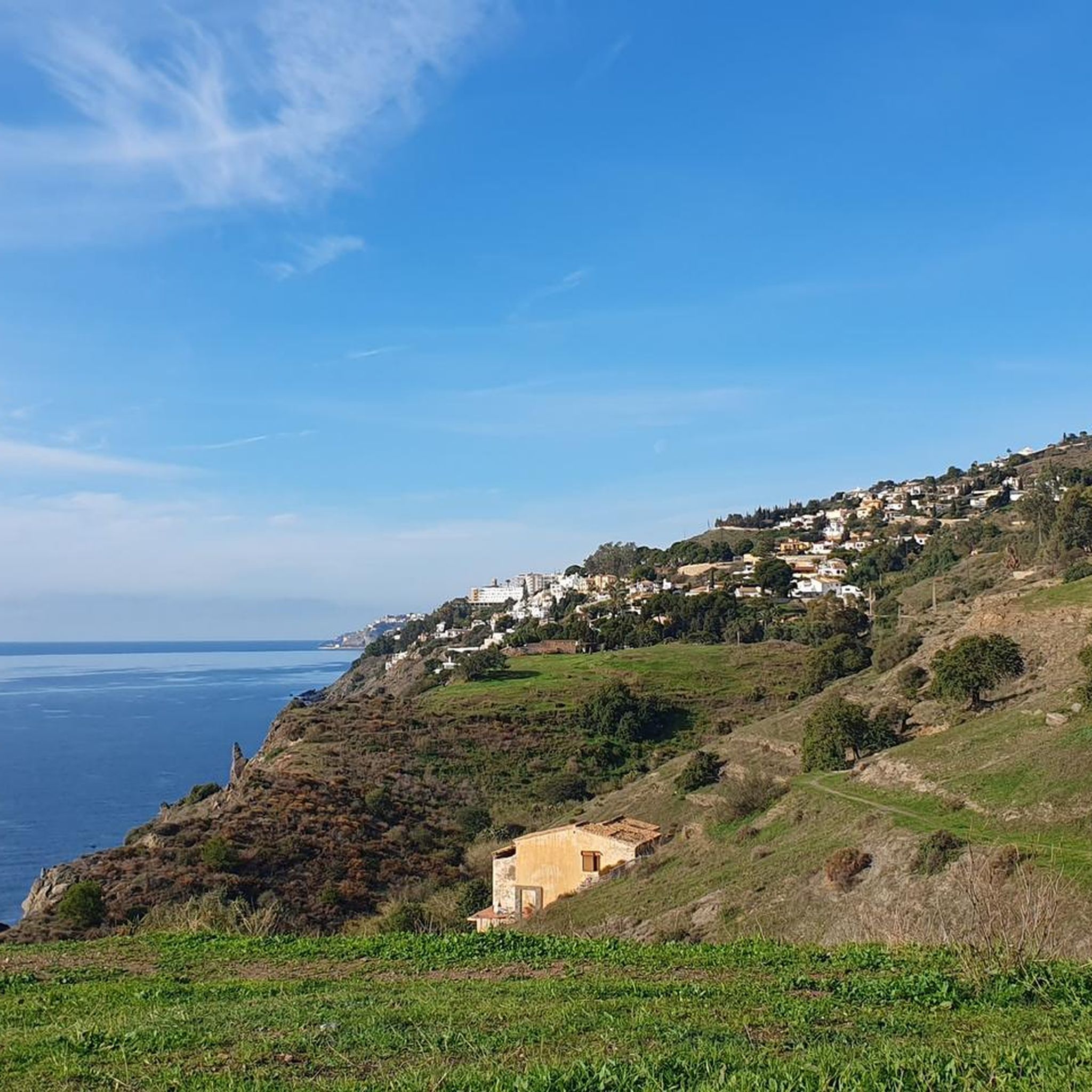
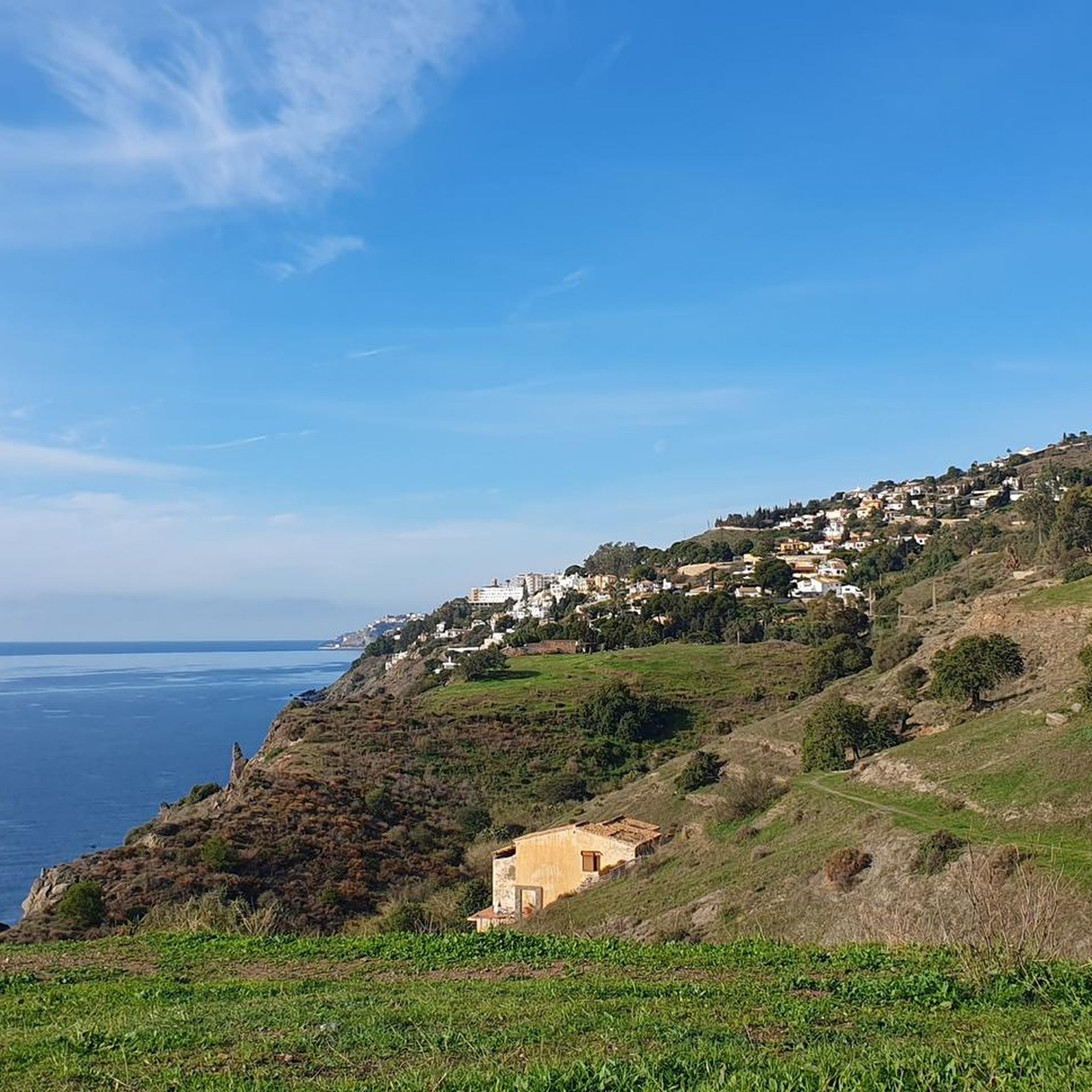
Magnificent walk along the sea
0
0
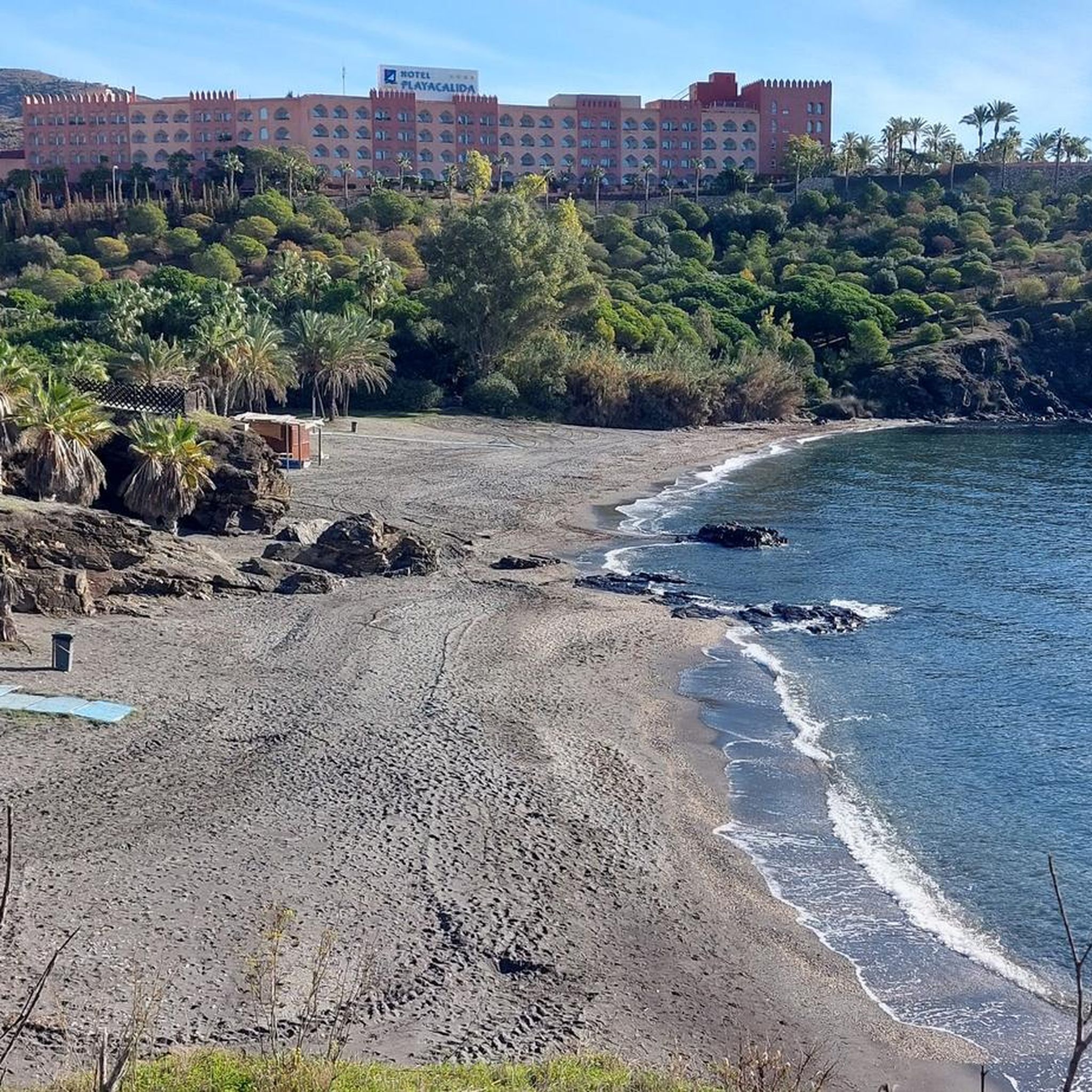
One of the magnificent beaches of Almuñécar
0
0
Frequently Asked Questions
How many road cycling routes are available in Acantilados Y Fondos Marinos Tesorillo-Salobreña?
There are over 60 road cycling routes in Acantilados Y Fondos Marinos Tesorillo-Salobreña, offering a diverse range of options for cyclists. These include 9 easy, 32 moderate, and 26 difficult routes, catering to various skill levels.
What kind of terrain can I expect on road cycling routes in this region?
The region offers a highly varied terrain for road cycling. You'll find routes winding through coastal towns, fertile valleys with subtropical crops, and charming inland white towns. Many routes also feature challenging ascents into the foothills of the Sierra Nevada mountains, providing significant elevation changes and panoramic views.
Are there any family-friendly road cycling routes in Acantilados Y Fondos Marinos Tesorillo-Salobreña?
Yes, there are gentler and more tranquil options suitable for families. For instance, the Caña de Azúcar route, departing from Salobreña, traverses fertile plains with subtropical crops and follows the River Guadalfeo before returning along the Mediterranean shore, offering a pleasant and accessible ride.
What are some challenging road cycling routes for experienced riders?
Experienced riders seeking a challenge will find routes with significant elevation gain. The Nerja, Frigiliana, and Torrox Loop is a difficult 89.2 km route with over 1800 meters of elevation gain. Another demanding option is the Puerto de la Cabra, a 135 km circular route with 2800 meters of elevation, taking you to the foothills of the Sierra Nevada on good road surfaces.
What is the best time of year for road cycling in Acantilados Y Fondos Marinos Tesorillo-Salobreña?
The Costa Tropical of Granada generally offers a favorable climate for cycling year-round. However, spring and autumn provide ideal conditions with pleasant temperatures. Even winter can be suitable, as the region's mild climate allows for cycling when many other areas are too cold.
Are there any circular road cycling routes in the Salobreña area?
Yes, many routes in the region are designed as loops. The Puerto de la Cabra is a demanding circular route, and the View of Salobreña – Salobreña Castle loop from Velilla-Taramay is a moderate 57.2 km loop offering coastal views. The Guájar Faragüit Fountain – View of Salobreña loop from Velilla-Taramay also provides a circular option through inland areas.
What kind of natural features and landmarks can I see along the routes?
The region is rich in natural beauty and historical sites. You can expect dramatic coastal cliffs, small coves, and beaches. Inland, you'll pass through fertile valleys with subtropical fruit plantations. The majestic Sierra Nevada mountains form a stunning backdrop, and you might also spot historic watchtowers, which are classified as cultural heritage sites.
What do other road cyclists enjoy most about road cycling in Acantilados Y Fondos Marinos Tesorillo-Salobreña?
The area is highly rated by the komoot community, with an average score of 4.3 stars from over 190 reviews. Cyclists often praise the stunning combination of coastal and mountain scenery, the diverse routes catering to all levels, and the opportunity to explore charming towns and lush agricultural valleys.
Are there any easier road cycling routes for beginners in the Salobreña area?
For beginners or those looking for a more relaxed ride, routes like the Caña de Azúcar offer a gentler experience through fertile plains. The Salobreña Castle – View of Salobreña loop from Urbanización Lindaraja is another moderate option, covering about 28 km with manageable elevation.
Can I combine road cycling with other activities in the region?
Absolutely! The region's diverse landscape allows for combining road cycling with many other activities. You can relax by the sea after a long ride, enjoy water sports like scuba diving or snorkeling in the protected marine areas, or explore coastal hikes. The proximity to the Sierra Nevada also means access to mountain activities, making it a great destination for varied outdoor adventures.
What are the typical distances and elevation gains for road cycling routes here?
Route distances vary significantly, from shorter loops around 28 km, such as the Salobreña Castle – View of Salobreña loop, to much longer and more challenging rides like the Puerto de la Cabra at 135 km. Elevation gains range from a few hundred meters on coastal routes to over 2800 meters on mountain ascents, offering options for every fitness level.
Are there places to stop for refreshments or accommodation along the routes?
Yes, as you cycle through coastal towns and charming inland villages, you'll find various cafes, restaurants, and accommodation options. Salobreña itself is a hub with amenities, and smaller towns along routes like Los Guájares also offer places to refuel and rest.
Most popular routes in Acantilados Y Fondos Marinos Tesorillo-Salobreña

Get inspired with the komoot mobile app


Explore more
Browse the best Road cycling routes in other regions.
