The best walks and hikes in Acantilados Y Fondos Marinos Tesorillo-Salobreña
4.2
(755)
4,834
hikers
203
hikes
Hiking in Acantilados Y Fondos Marinos Tesorillo-Salobreña offers diverse coastal landscapes along Spain's Costa Tropical. The region features dramatic rocky coasts with cliffs exceeding 50 meters, interspersed with secluded beaches and coves. The terrestrial environment supports Mediterranean flora, including spiny shrubs, while the marine area is a protected zone with rich biodiversity. Geologically, the area presents unique intertidal formations and underwater slopes.
Best hiking trails in Acantilados Y Fondos Marinos Tesorillo-Salobreña
- The most popular hiking route is Torre de Taramay…
Last updated: August 28, 2026
4.6
(39)
277
hikers
12.2km
03:13
100m
100m
Moderate hike. Good fitness required. Easily-accessible paths. Suitable for all skill levels.
4.5
(8)
30
hikers
9.48km
02:43
230m
230m
Moderate hike. Good fitness required. Easily-accessible paths. Suitable for all skill levels.

Sign up for free
4.0
(8)
37
hikers
9.60km
02:38
140m
140m
Moderate hike. Good fitness required. Easily-accessible paths. Suitable for all skill levels.
5.0
(4)
13
hikers
12.3km
03:37
350m
350m
Moderate hike. Good fitness required. Easily-accessible paths. Suitable for all skill levels.
4.8
(6)
17
hikers
14.0km
04:35
650m
660m
Moderate hike. Good fitness required. Easily-accessible paths. Suitable for all skill levels.
Get access to more routes and recommendations from other explorers.
Sign up for free
Already have an account?
Our route recommendations are based on thousands of hikes, rides, and runs completed by other people on komoot.
Start today with a free account
Your next adventure awaits.
Login or Signup
Popular around Acantilados Y Fondos Marinos Tesorillo-Salobreña
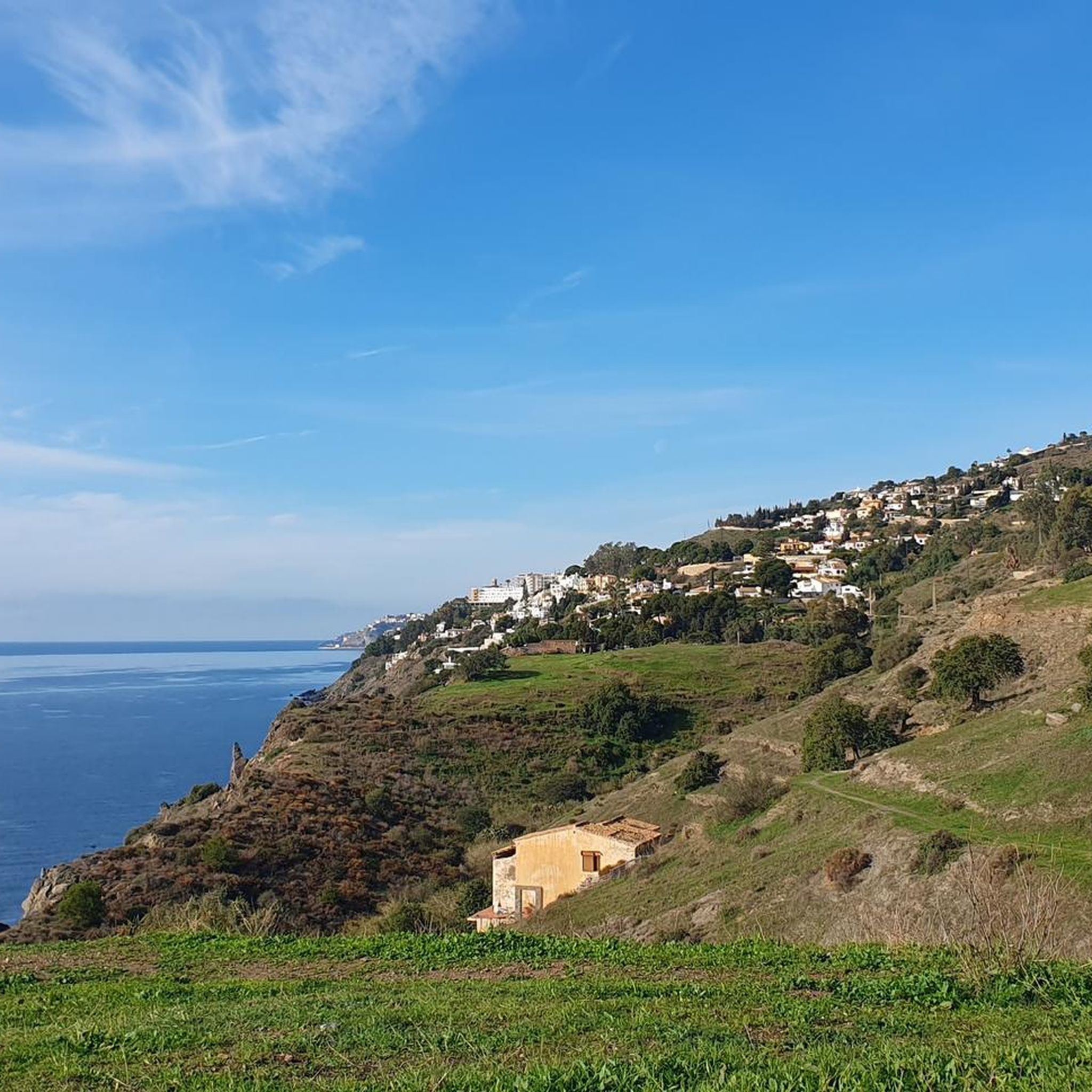
Cycling in Acantilados Y Fondos Marinos Tesorillo-Salobreña
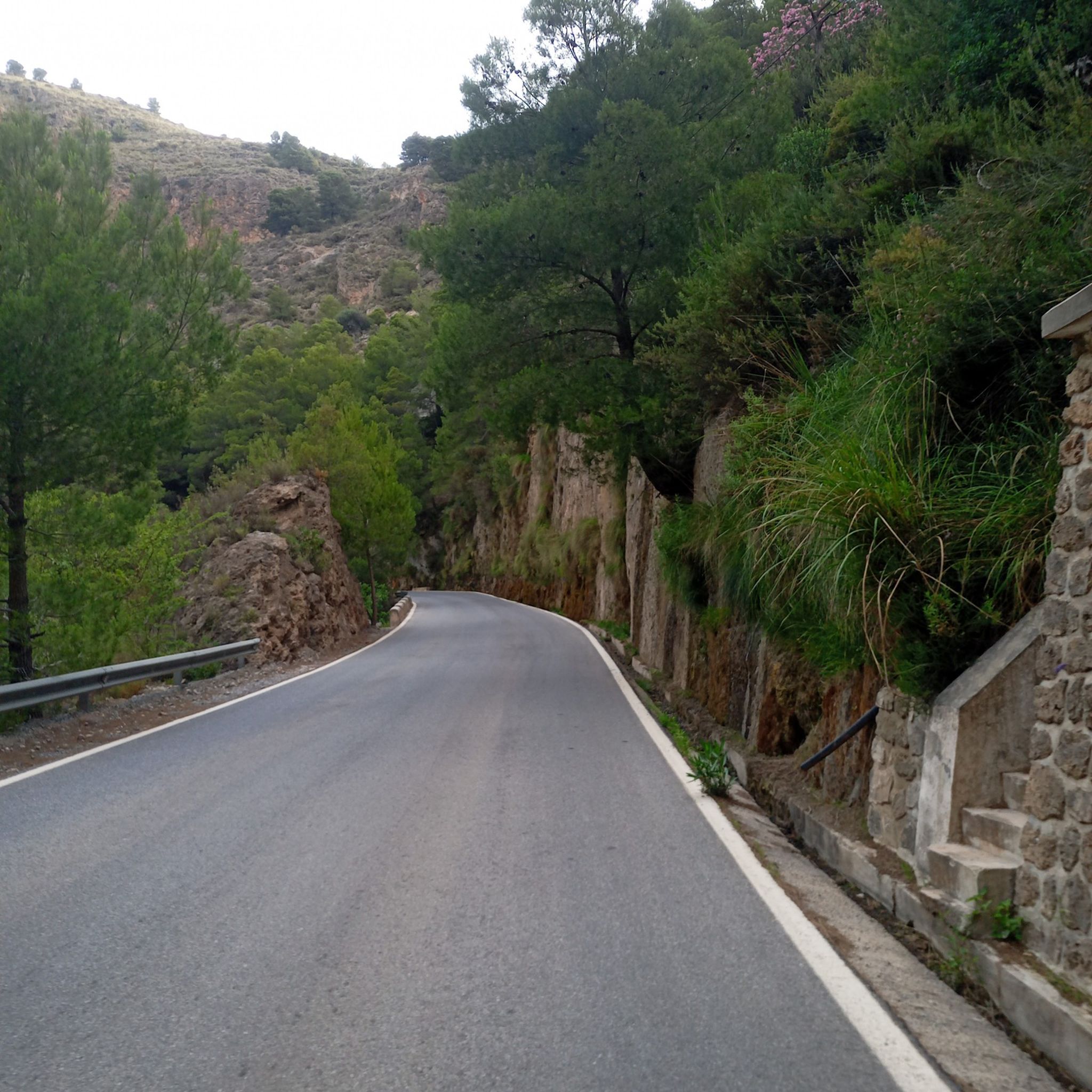
Road Cycling Routes in Acantilados Y Fondos Marinos Tesorillo-Salobreña
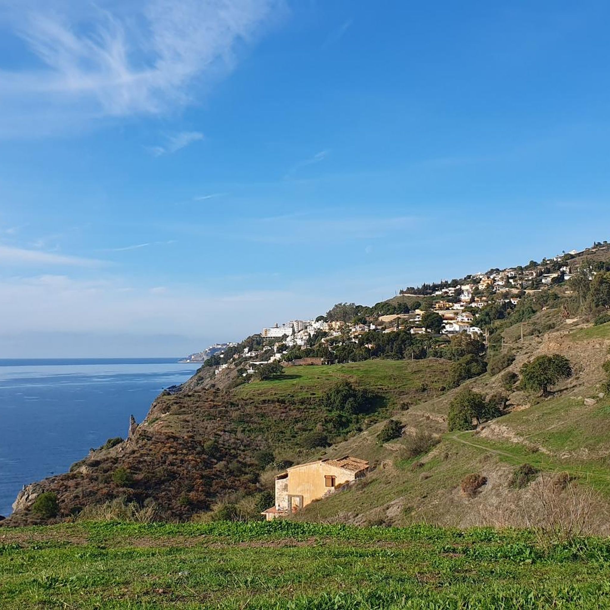
MTB Trails in Acantilados Y Fondos Marinos Tesorillo-Salobreña
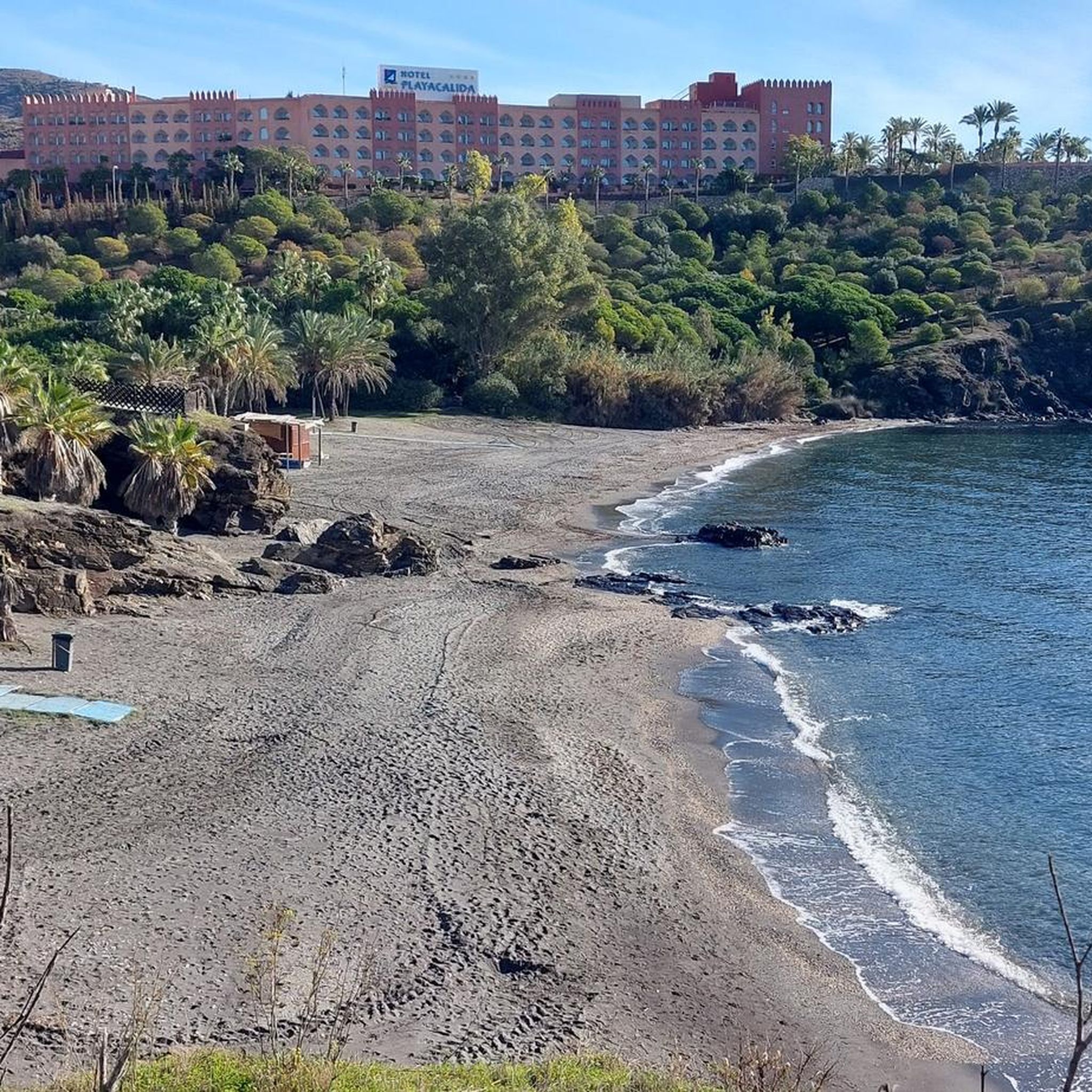
Running Trails in Acantilados Y Fondos Marinos Tesorillo-Salobreña

Gravel biking in Acantilados Y Fondos Marinos Tesorillo-Salobreña
Tips from the Community

Beautiful statue on the beach
1
0


Cueta del Lápiz is a raised area near La Caleta, west of Salobreña Rock. From there you can see: Salobreña Rock in the foreground. The beaches of La Guardia, El Caletón, and Capistrano to the west. The Mediterranean extending to the horizon.
2
0
The view of Playa Capistrano from Cueta del Lápiz in Salobreña is one of the most spectacular in the area, although it is not a common tourist attraction, which makes it even more special.
2
0

The very narrow path through thickets and thorny bushes is a real challenge.
13
0
This very beautiful Moorish-style house is located in a small suburb of Salobrena.
18
0
The route is very adventurous and has its charm. The paths are very narrow and lined with all sorts of prickly vegetation. Long pants are advisable.
17
0
For centuries, thanks to its mild climate, a powerful industry developed on the Granada coast, dedicated to traditional sugar production through the cultivation of sugarcane. The Motril Pre-Industrial Sugarcane Museum and the buildings of the Nuestra Señora del Rosario (Salobreña), Santa Juliana (Armilla), and Nuestra Señora del Pilar (Motril) sugar factories bear witness to this historic moment, as well as the economic, social, and cultural significance of this production method. Source: https://de.andalucia.org/blog/post/das-zuckerindustrieerbe-der-costa-tropical/
17
0
Frequently Asked Questions
What kind of hiking trails can I expect in Acantilados y Fondos Marinos Tesorillo-Salobreña?
The region offers a diverse network of trails, primarily featuring dramatic coastal landscapes with cliffs, secluded beaches, and coves. You'll find paths winding through Mediterranean flora, including spiny shrubs, and even areas with exotic fruit trees like custard-apples and mangoes. Trails range from asphalt stretches to dirt tracks and natural forest paths.
How many hiking trails are available in Acantilados y Fondos Marinos Tesorillo-Salobreña?
There are over 170 hiking trails in Acantilados y Fondos Marinos Tesorillo-Salobreña. The majority are easy, with 96 routes suitable for beginners, 68 moderate options, and a few more challenging trails for experienced hikers.
Are there any family-friendly hiking routes in the area?
Yes, many of the 96 easy trails are suitable for families. A great option is the Sea View – Cambrón Beach loop from Salobreña, an easy 6.2 km path that offers scenic sea views and access to quiet beaches, perfect for a family outing.
What are some notable landmarks or natural features to see while hiking?
Hikers can explore the striking coastal geology with cliffs plunging into the Mediterranean Sea and discover secluded beaches. The terrestrial strip also features several historical watchtowers, which are classified as cultural interest goods. Additionally, you might encounter areas with unique Mediterranean flora and exotic fruit plantations.
Are there any circular hiking routes?
Yes, the area is well-suited for circular walks. A popular moderate option is the Torre de Taramay – Loro Sexi Ornithological Park loop from Velilla-Taramay, which is 12.3 km long and takes about 3 hours 14 minutes to complete, offering coastal views and passing by historical watchtowers.
What is the best time of year to go hiking in Acantilados y Fondos Marinos Tesorillo-Salobreña?
The region enjoys a sunny climate with mild temperatures, making it suitable for hiking year-round. Spring and autumn offer particularly pleasant conditions, but even in late January, you can witness striking displays like almond tree blossoms. The mild weather also supports a wide array of plants in flower throughout the year.
What do other hikers enjoy most about the trails here?
The trails in Acantilados y Fondos Marinos Tesorillo-Salobreña are highly rated by the komoot community, with an average score of 4.3 stars from over 600 reviews. Hikers frequently praise the breathtaking coastal views, the variety of landscapes from clifftops to tropical fruit valleys, and the access to secluded coves.
Can I hike with my dog in Acantilados y Fondos Marinos Tesorillo-Salobreña?
While many outdoor areas in Spain are dog-friendly, it's always best to check specific local regulations for the natural park and individual trails. Generally, dogs on a leash are permitted on most public trails, but some protected areas or beaches might have restrictions. Please be mindful of other hikers and wildlife.
Are there any routes that take me through tropical fruit plantations?
Yes, some trails lead through fertile valleys abundant with exotic fruit trees. For example, routes like "The Custard Apple 'chirimoya' route" (10.64 km, not listed in guide data but mentioned in region research) offer a unique sensory experience through plantations of custard-apples, mangoes, bananas, guavas, and avocados.
How long do hikes typically take in this region?
Hike durations vary significantly depending on the route's length and difficulty. Easy trails like the Caleta de la Guardia – Sea View loop from Salobreña (4.4 km) can be completed in about 1 hour 15 minutes, while moderate routes such as the Almond Trees in Andalusia – Torre de Taramay loop from Velilla-Taramay (11.6 km) might take over 3 hours.
Is there public transport access to the hiking trailheads?
While specific public transport details for each trailhead are not provided, the region is accessible. It's advisable to check local bus schedules or consider car rentals to reach more remote starting points for the trails, especially those outside of the main towns like Salobreña.
Where can I park when visiting the hiking trails?
Parking availability varies by trailhead. In towns like Salobreña and Velilla-Taramay, you can often find public parking areas. For specific trailheads, it's recommended to check local maps or komoot route details for designated parking spots or nearby street parking options.
Most popular routes in Acantilados Y Fondos Marinos Tesorillo-Salobreña

Get inspired with the komoot mobile app


Explore more
Browse the best Hikes in other regions.
