The best walks and hikes in Sierra Espadà
4.6
(739)
4,122
hikers
178
hikes
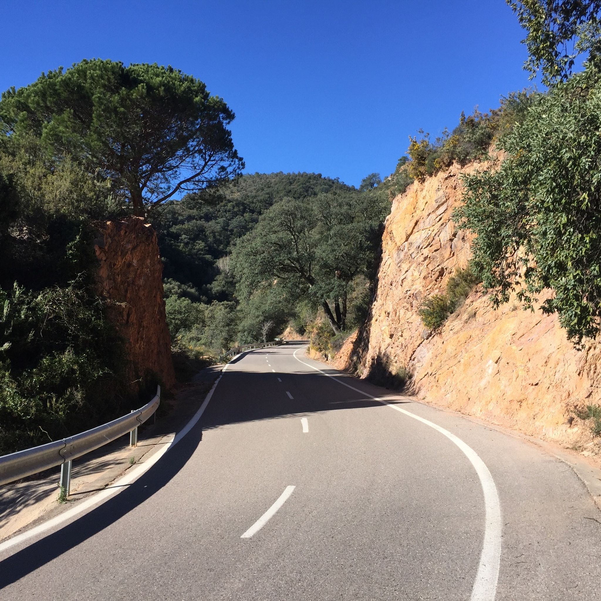
Hiking in Sierra Espadà offers diverse landscapes within the Valencian Community, characterized by extensive cork oak forests and rugged mountains. The terrain features unusual sandstone outcrops known as "rodenos," limestone formations, deep ravines, and natural springs. The highest point, La Ràpita, reaches 1,106 meters above sea level, providing panoramic views. This natural park is a significant destination for outdoor activities.
Best hiking trails in Sierra Espadà
- The most popular hiking route is Órganos de Benitandús Loop from Sueras, a 4.7 miles (7.6 km) trail that takes 3 hours 9 minutes to complete, leading through impressive rock formations.
- Another top favourite among local hikers is Parque Natural de la Serra d'Espadà — Circular from Aín to the top of Espadà, a moderate 6.2 miles (10.0 km) path offering panoramic views from elevated points.
- Local hikers also love the Castro Castle and Nevera de Castro Loop, an 8.0 miles (12.9 km) trail leading through historic ruins and an 18th-century snow well, often completed in about 4 hours 35 minutes.
- Hiking in Sierra Espadà is defined by extensive cork oak forests, unique sandstone outcrops, and deep ravines. The network offers options for various ability levels, from leisurely walks to challenging treks.
- The routes in Sierra Espadà are highly rated by the komoot community with an average score of 4.6 stars from over 650 reviews. More than 3,900 hikers have used komoot to explore Sierra Espadà's varied terrain.
Last updated: July 3, 2026
4.7
(28)
114
hikers
7.62km
03:09
500m
500m
Moderate hike. Good fitness required. Mostly accessible paths. Sure-footedness required.
4.0
(4)
45
hikers
Moderate hike. Good fitness required. Mostly accessible paths. Sure-footedness required.

Sign up for free
4.7
(6)
24
hikers
12.9km
04:36
550m
550m
Moderate hike. Good fitness required. Mostly accessible paths. Sure-footedness required.
4.7
(7)
33
hikers
15.7km
05:53
800m
800m
Hard hike. Very good fitness required. Mostly accessible paths. Sure-footedness required.
4.9
(7)
17
hikers
11.8km
04:08
600m
590m
Moderate hike. Good fitness required. Mostly accessible paths. Sure-footedness required.
Get access to more routes and recommendations from other explorers.
Sign up for free
Already have an account?
Our route recommendations are based on thousands of hikes, rides, and runs completed by other people on komoot.
Start today with a free account
Your next adventure awaits.
Login or Signup



Tips from the Community


L'Arquet is an emblematic arch with a controversial origin (some say it is Roman and others, Arab). Through here the water was transported to the Molinet de Castro, which no longer exists, but was very close.
2
1

It was built in the 12th century by the Muslims who inhabited the region. Its original purpose was to retain the waters of the ravine of the same name and then use them to irrigate the fields downstream. This route is ideal for hiking lovers and offers a variety of landscapes and experiences. I hope you enjoy exploring the Ajuez Reservoir and its surroundings! 🌿🏞️
4
0

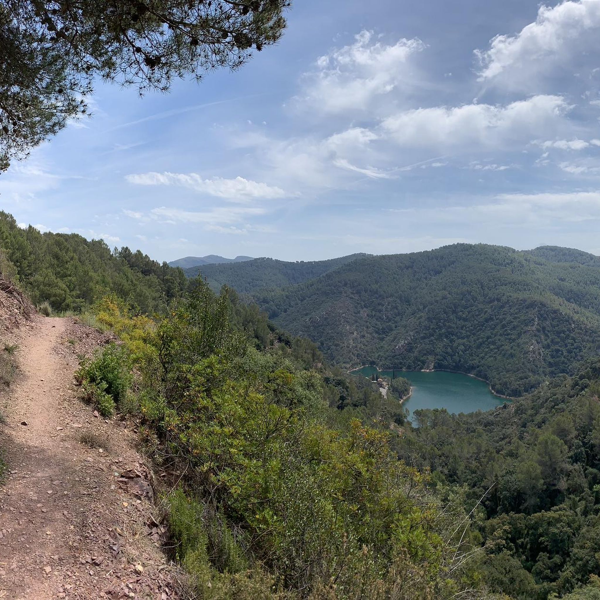
Ernbalse de Ajuez Unfortunately, the reservoir is almost dry and things are slowly getting tight for the fish and turtles. The Chóvar Reservoir, as it is also called, is part of an ancient local irrigation system built to retain the rushing water from the eponymous gorge. The place name is derived from Arabic, the meaning of which means “common pastureland” and indicates the importance of agriculture and livestock breeding in the region. Due to its capacity of 30,000 m³ and the lack of water sources in the nature park, it is of great value for the fauna. It is currently included in the catalog of wetlands of the Valencian Community
8
0

After the Reconquista, many castles in the region were modified or rebuilt to adapt to Christian styles and needs.
7
0
The Castro Castle, an Arab fortress with an impressive watchtower at a height of about 780 m, was a fundamental bastion of the Moorish resistance at the time of their expulsion. It was taken by the Duke of Segorbe and General Cavanilles after the Castillo de Aín had also fallen. It was also used in the Carlist Wars. The castle covers an area of about 2,000 m2, where two parts can be distinguished: the "Albacar", a fortified refuge for the inhabitants of the towns dependent on the fortress; and on the other side, the castle itself, which presided surrounded by a large keep that was demolished in 1938 during the Civil War. The views are impressively beautiful.
9
0
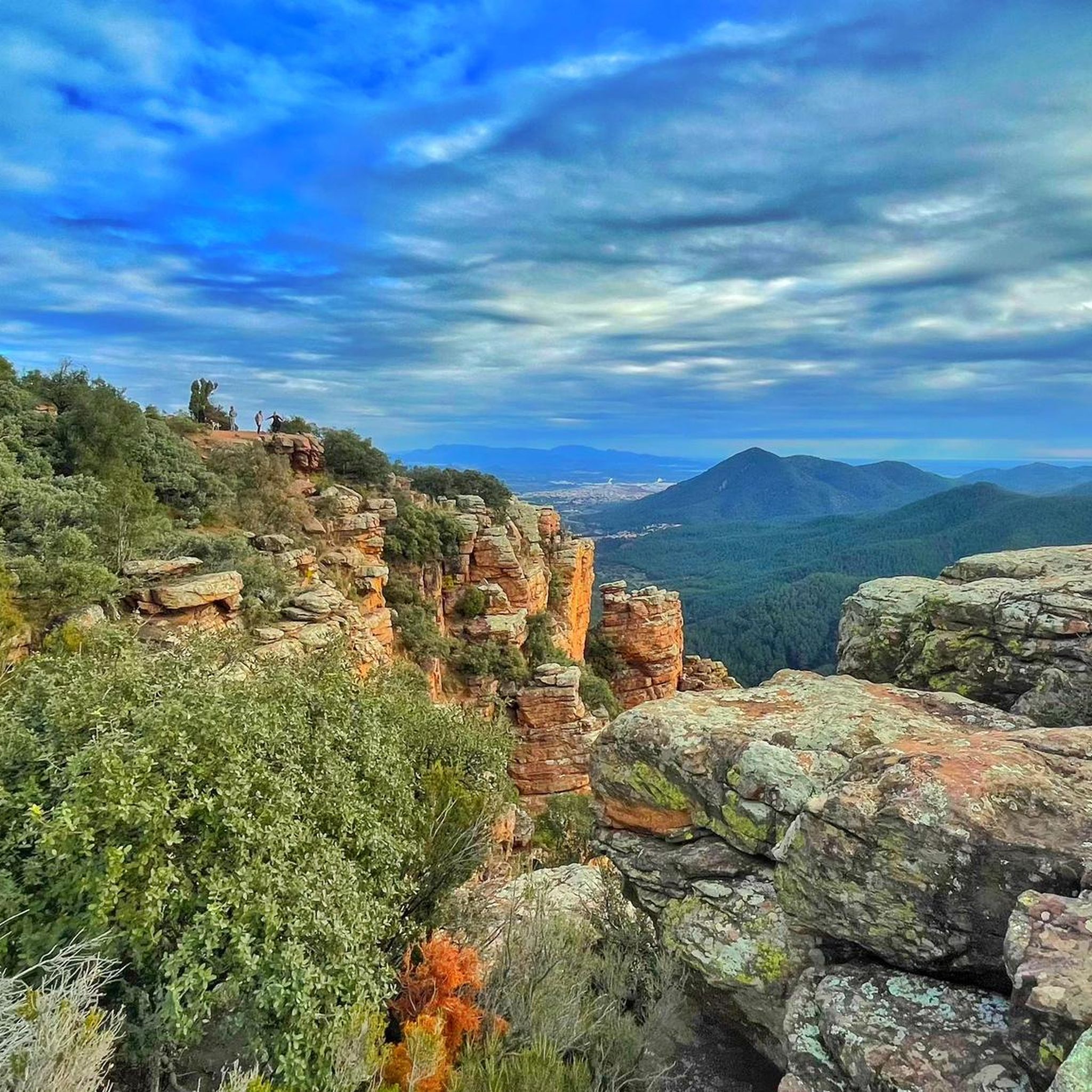
There is an impressive abyss in front of us (be careful if you feel dizzy) and another stone needle rises below us, and to our left is the reservoir. Spectacular.
9
0
Ain Castle is of Arabic origin and was built in the 13th century. There they lived in peace and harmony, developed the cultivation of olive trees and plantations, introduced the irrigation system and exploited the natural resources.
6
0
Frequently Asked Questions
How many hiking trails are available in Sierra Espadà?
Sierra Espadà offers a wide variety of hiking trails, with over 180 routes recorded. These range from easy strolls to more challenging treks, ensuring options for all experience levels.
What kind of landscapes can I expect to see while hiking in Sierra Espadà?
Hikers in Sierra Espadà will experience diverse landscapes, primarily characterized by extensive cork oak forests and rugged mountains. The terrain features unique sandstone outcrops known as "rodenos," limestone formations, deep ravines, and numerous natural springs. Panoramic views from elevated points like Pico Espadán often include other peaks and even the Mediterranean Sea.
Are there any easy hiking trails suitable for beginners or families in Sierra Espadà?
Yes, Sierra Espadà has several easy trails. There are 13 routes specifically categorized as easy, perfect for beginners or families looking for a more relaxed experience. These trails often wind through the beautiful cork oak forests and offer gentle gradients.
What are some of the historical or natural landmarks I can discover on the trails?
The trails in Sierra Espadà lead to various historical and natural landmarks. You can explore sites like Castro Castle, which offers panoramic views and includes the 18th-century Nevera de Castro snow well. Natural features include the impressive Órganos de Benitandús rock formations and the summit of Espadán Peak.
Are there any challenging hikes for experienced trekkers?
Absolutely. For experienced trekkers, Sierra Espadà offers 35 difficult routes. These often involve significant elevation gains and longer distances, such as the demanding Climb to Castillo de Castro – Sierra del Espadán, which ascends over 800 meters.
What is the best time of year to go hiking in Sierra Espadà?
The best time to hike in Sierra Espadà is generally during spring (April-May) and autumn (September-October) when temperatures are milder and the natural scenery is at its most vibrant. Summers can be hot, especially at midday, while winters are generally mild but can have cooler temperatures at higher elevations.
Are dogs allowed on the hiking trails in Sierra Espadà?
Sierra Espadà is generally dog-friendly, but it's always recommended to keep your dog on a leash, especially in areas with wildlife or near livestock. Please ensure you clean up after your pet to help preserve the natural environment.
What do other hikers say about their experience in Sierra Espadà?
The komoot community highly rates hiking in Sierra Espadà, with an average score of 4.6 stars from over 650 reviews. Hikers often praise the well-maintained paths, the stunning cork oak forests, and the diverse natural and historical elements found throughout the park.
Are there any circular hiking routes available?
Yes, many of the trails in Sierra Espadà are circular, offering varied scenery without retracing your steps. Examples include the Órganos de Benitandús Loop from Sueras and the Puntal de l'Aljub (PR-CV 352) — Circular from Eslida.
Is public transport available to reach the trailheads in Sierra Espadà?
While some villages within or near Sierra Espadà may have limited bus services, public transport options directly to many trailheads are scarce. It is generally recommended to travel by car to access the most convenient starting points for hikes. Parking is often available in the villages or designated areas near popular routes.
What kind of wildlife can I expect to see in Sierra Espadà?
Sierra Espadà is home to diverse wildlife. Birdwatchers might spot species like the majestic Bonelli's eagle, short-toed eagles, booted eagles, and goshawks. Mammals such as foxes and wild boars also inhabit the park, though they are often more elusive.
Are there places to eat or drink near the hiking trails?
Yes, several charming villages within and around Sierra Espadà, such as Aín, Eslida, Sueras, and Almedíjar, offer cafes, restaurants, and pubs where you can refuel and relax after your hike. These towns provide a taste of local cuisine and hospitality.
What is the typical duration of hikes in Sierra Espadà?
Hiking durations in Sierra Espadà vary widely depending on the route's length and difficulty. Shorter, easy trails might take a couple of hours, while moderate routes like the Parque Natural de la Serra d'Espadà — Circular from Aín to the top of Espadà can take around 3-4 hours. More challenging and longer treks can extend to 5-7 hours or even multi-day adventures for the GR-36.
Most popular routes in Sierra Espadà
Most popular attractions in Sierra Espadà

Get inspired with the komoot mobile app


Explore more
Browse the best Hikes in other regions.
