The best gravel rides in Sierra Espadà
4.4
(19)
245
riders
43
rides
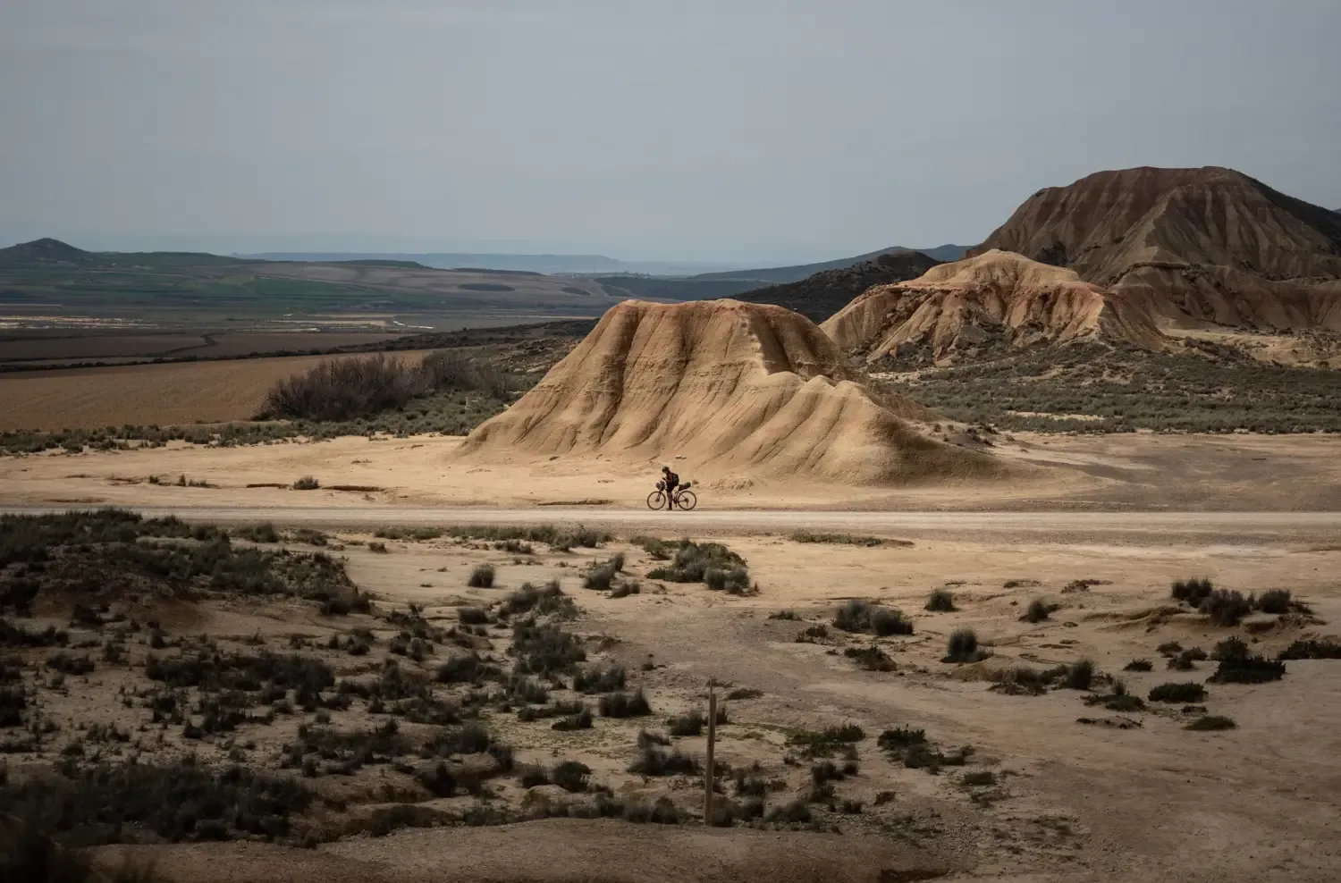
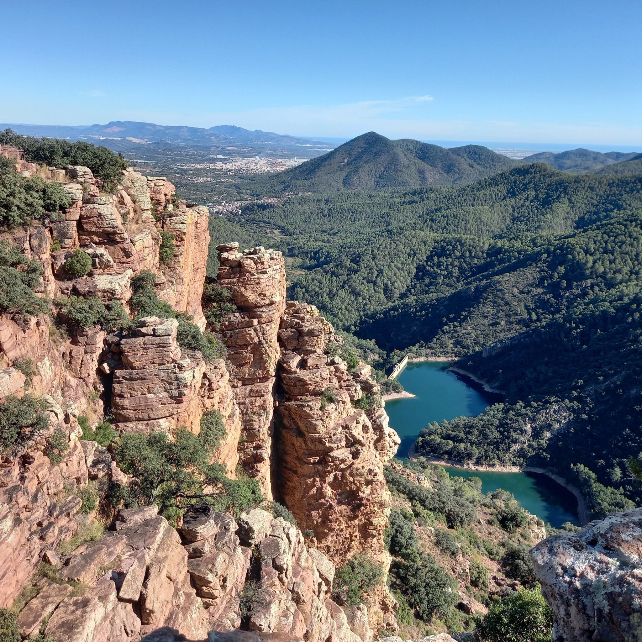
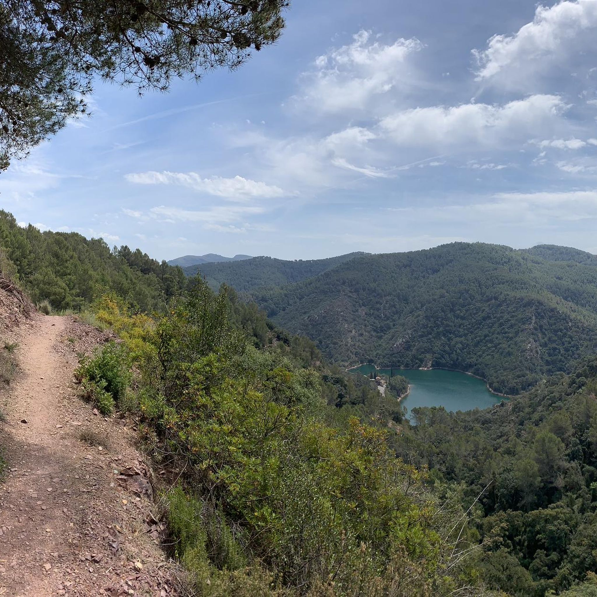
Gravel biking in Sierra Espadà offers routes through a mountainous natural park characterized by dense cork oak forests, limestone formations, and deep ravines. The terrain includes a mix of forest tracks, old mule trails, and unpaved roads, providing varied surfaces for gravel cyclists. Elevations range significantly, with many routes featuring sustained climbs and descents. The region's geology contributes to its rugged landscape, making it suitable for challenging gravel bike trails.
Best gravel bike trails in Sierra Espadà
- The most popular gravel bike trail is Ojos Negros Greenway – Albentosa Picnic Area loop from Algimia de Almonacid, a 74.2 miles (119.4 km) trail that takes 9 hours 11 minutes to complete. This route features significant elevation gain across varied terrain.
- Another top favourite among local gravel bikers is Coll d’Aín – Aín Village loop from Eslida, a difficult 28.5 miles (45.8 km) path. This circular route explores the heart of the Sierra Espadà, passing through villages and offering panoramic views.
- Local gravel bikers also love the Del Abrevador Spring – Bellota Spring loop from Azuébar, a 15.2 miles (24.5 km) trail leading through forested hills and valleys, often completed in about 2 hours 34 minutes.
- Gravel biking in Sierra Espadà is defined by cork oak forests, limestone mountains, and historic rural paths. The network offers options for moderate to difficult ability levels, with many routes featuring substantial climbs.
- The routes in Sierra Espadà are highly rated by the komoot community with an average score of 4.6 stars from more than 10 reviews. More than 200 gravel bikers have used komoot to explore Sierra Espadà's varied terrain.
Last updated: July 8, 2026
5.0
(2)
38
riders
120km
07:55
1,420m
1,420m
Hard gravel ride. Very good fitness required. Mostly paved surfaces. Suitable for all skill levels.
3
riders
24.5km
02:14
580m
580m
Hard gravel ride. Very good fitness required. Mostly paved surfaces. Suitable for all skill levels.

Sign up for free
11
riders
59.7km
04:19
1,360m
1,360m
Hard gravel ride. Very good fitness required. Mostly paved surfaces. Suitable for all skill levels.
5.0
(1)
4
riders
46.6km
03:36
960m
960m
Hard gravel ride. Very good fitness required. Mostly paved surfaces. Suitable for all skill levels.
4
riders
32.9km
02:40
730m
730m
Hard gravel ride. Very good fitness required. Mostly paved surfaces. Suitable for all skill levels.
Get access to more routes and recommendations from other explorers.
Sign up for free
Already have an account?
Our route recommendations are based on thousands of hikes, rides, and runs completed by other people on komoot.
Start today with a free account
Your next adventure awaits.
Login or Signup


Tips from the Community

La via verda d'Ojos Negros es pot enllaçar amb la via Xurra i arribar fins a la ciutat de València.
0
0

Boat trip on Europe's longest navigable underground river.
0
0

The track is very good
0
0

The Ojos Negros Greenway is a 160 kilometre long greenway in Spain that runs between the village of Santa Eulalia del Campo in the province of Teruel in Aragon and the village of Algimia.
11
0

Be careful, in 2025 the train track is under construction and the Green Way is closed from here to Torás.
1
0
There are four routes across this viaduct: the green route, two that cross underneath and reach Masadas Blancas and Pico del Aguila, and a third to the right that goes to Más de Noguera.
0
0

very fun and entertaining route 💯 x 💯 recommended
1
0

Frequently Asked Questions
What is the general difficulty level for gravel biking in Sierra Espadà?
Gravel biking in Sierra Espadà is primarily suited for moderate to difficult ability levels. The terrain is mountainous, featuring significant elevation gains and descents across forest tracks, old mule trails, and unpaved roads. Out of 43 total routes, 36 are classified as difficult, and 7 as moderate.
Are there any easy gravel bike routes in Sierra Espadà suitable for beginners?
While the majority of routes are moderate to difficult, the region's varied terrain means some sections might be more accessible. However, komoot data indicates no routes are classified as 'easy' for gravel biking in Sierra Espadà. Most trails feature substantial climbs and rugged surfaces, making them more suitable for experienced riders.
What are the typical lengths of gravel bike trails in Sierra Espadà?
The lengths of gravel bike trails in Sierra Espadà vary significantly. For example, the Ojos Negros Greenway – Albentosa Picnic Area loop from Algimia de Almonacid is a challenging 74.2 miles (119.4 km) route, while the Del Abrevador Spring – Bellota Spring loop from Azuébar is a shorter 15.2 miles (24.5 km) trail.
Are there circular gravel bike routes available in Sierra Espadà?
Yes, many gravel bike routes in Sierra Espadà are circular, allowing you to start and end in the same location. An example is the difficult Coll d’Aín – Aín Village loop from Eslida, which explores the heart of the Sierra Espadà, or the Del Abrevador Spring – Bellota Spring loop from Azuébar.
What kind of trail conditions can I expect on gravel routes in Sierra Espadà?
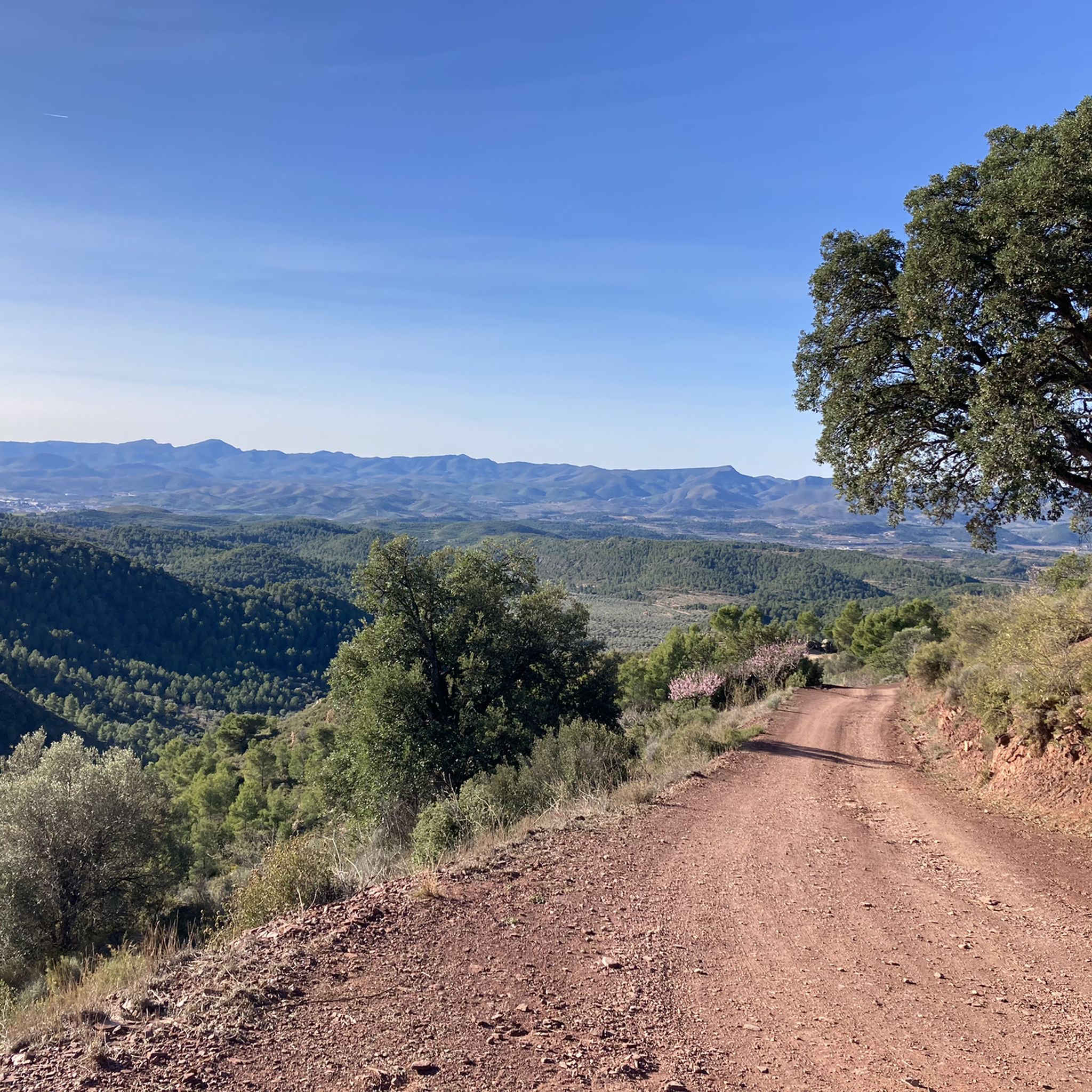
You can expect varied trail conditions, including forest tracks, old mule trails, and unpaved roads. The region's geology, characterized by limestone formations and deep ravines, contributes to a rugged landscape. Trails often feature loose gravel, rocky sections, and can be challenging, especially after rain.
When is the best time of year to go gravel biking in Sierra Espadà?
Given the mountainous terrain and potential for heat in summer, spring and autumn are generally the most pleasant seasons for gravel biking in Sierra Espadà. Temperatures are milder, and the natural park's cork oak forests are particularly beautiful. Winter can also be suitable, though some higher elevation trails might be colder.
What can I see along the gravel bike trails in Sierra Espadà?
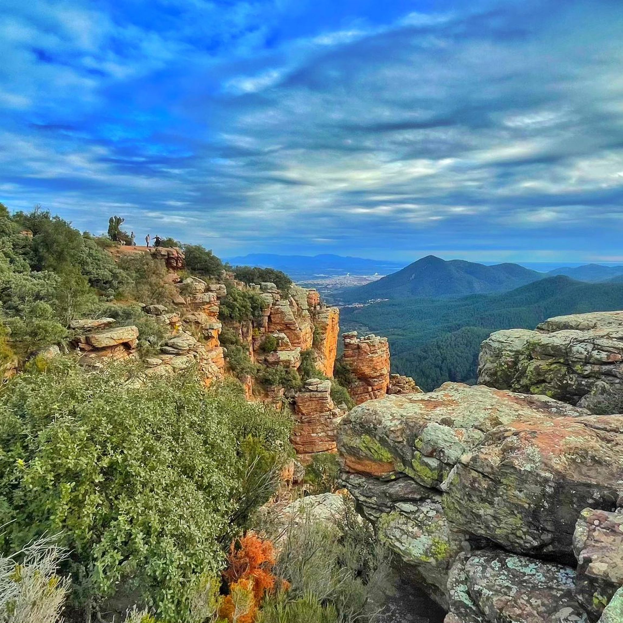
The routes often pass through dense cork oak forests and offer views of limestone formations. You can also discover historical sites and natural landmarks. For example, you might encounter highlights like Castro Castle or enjoy panoramic views from Penya Migdia.
Are there any interesting historical landmarks or viewpoints along the routes?
Yes, Sierra Espadà is rich in historical landmarks and offers numerous viewpoints. You can explore ancient structures like Benalí Castle or the ruins of Almonecir Castle. For stunning vistas, consider routes that pass by El Puntal or offer Views of the Castle of Eslida.
What do other gravel bikers enjoy most about Sierra Espadà?
The komoot community highly rates the gravel biking experience in Sierra Espadà, with an average score of 4.6 stars from over 10 reviews. Riders often praise the challenging terrain, the beauty of the cork oak forests, and the sense of adventure on the varied tracks and trails.
Is parking available near the gravel bike trails in Sierra Espadà?
Many trailheads and villages within the Sierra Espadà Natural Park offer designated parking areas. It's advisable to check specific route starting points for the most convenient parking options, especially in smaller villages like Algimia de Almonacid, Eslida, or Azuébar, which serve as common starting points for tours.
Can I reach Sierra Espadà gravel routes by public transport?
Access to Sierra Espadà by public transport can be limited, as it is a natural park with many smaller villages. While some larger towns on the periphery might have bus connections, reaching specific trailheads deep within the park often requires a car. Planning your route in advance and checking local bus schedules for the nearest towns is recommended.
Are there any less crowded gravel routes in Sierra Espadà?
Sierra Espadà is generally less frequented than some other Spanish cycling destinations, offering a more tranquil experience. To find even quieter routes, consider exploring trails that do not pass through major villages or popular viewpoints, or venture out during off-peak seasons or weekdays. The Obús Singletrack – Coll de la Vella loop from la Vall d'Uixó might offer a good option for a less crowded experience.
Most popular routes in Sierra Espadà
Most popular attractions in Sierra Espadà

Get inspired with the komoot mobile app


Explore more
Browse the best Gravel rides in other regions.
