Lic-Valles Altos Del Nansa Y Saja Y Alto Campoo
Lic-Valles Altos Del Nansa Y Saja Y Alto Campoo
The best running trails in Lic-Valles Altos Del Nansa Y Saja Y Alto Campoo
4.9
(19)
745
runners
12
runs
Jogging routes in Lic-Valles Altos Del Nansa Y Saja Y Alto Campoo traverse a diverse landscape of mid and high-mountain environments. The region features extensive deciduous forests, particularly large oak and beech woodlands, offering shaded running paths. Runners will encounter varied topography, including river valleys, high-altitude pastures, and rounded mountains that ascend towards the Cantabrian Mountains. This area provides a range of terrain suitable for different running preferences.
Best jogging routes in Lic-Valles Altos Del Nansa Y Saja Y Alto…
Last updated: July 7, 2026
5.0
(1)
41
runners
15.6km
01:55
390m
390m
Hard run. Very good fitness required. Mostly accessible paths. Some sure footedness required.
5
runners
Hard run. Very good fitness required. Mostly accessible paths. Some sure footedness required.

Sign up for free
44
runners
18.4km
02:56
1,040m
1,040m
Hard run. Very good fitness required. Mostly paved surfaces. Suitable for all skill levels.
22
runners
23.7km
03:10
850m
850m
Hard run. Very good fitness required. Mostly paved surfaces. Suitable for all skill levels.
9
runners
21.6km
02:41
640m
640m
Hard run. Very good fitness required. Mostly paved surfaces. Suitable for all skill levels.
Get access to more routes and recommendations from other explorers.
Sign up for free
Already have an account?
Our route recommendations are based on thousands of hikes, rides, and runs completed by other people on komoot.
Start today with a free account
Your next adventure awaits.
Login or Signup
Popular around Lic-Valles Altos Del Nansa Y Saja Y Alto Campoo

Between valleys and villages – Saja Reserve Trail (GR 71)
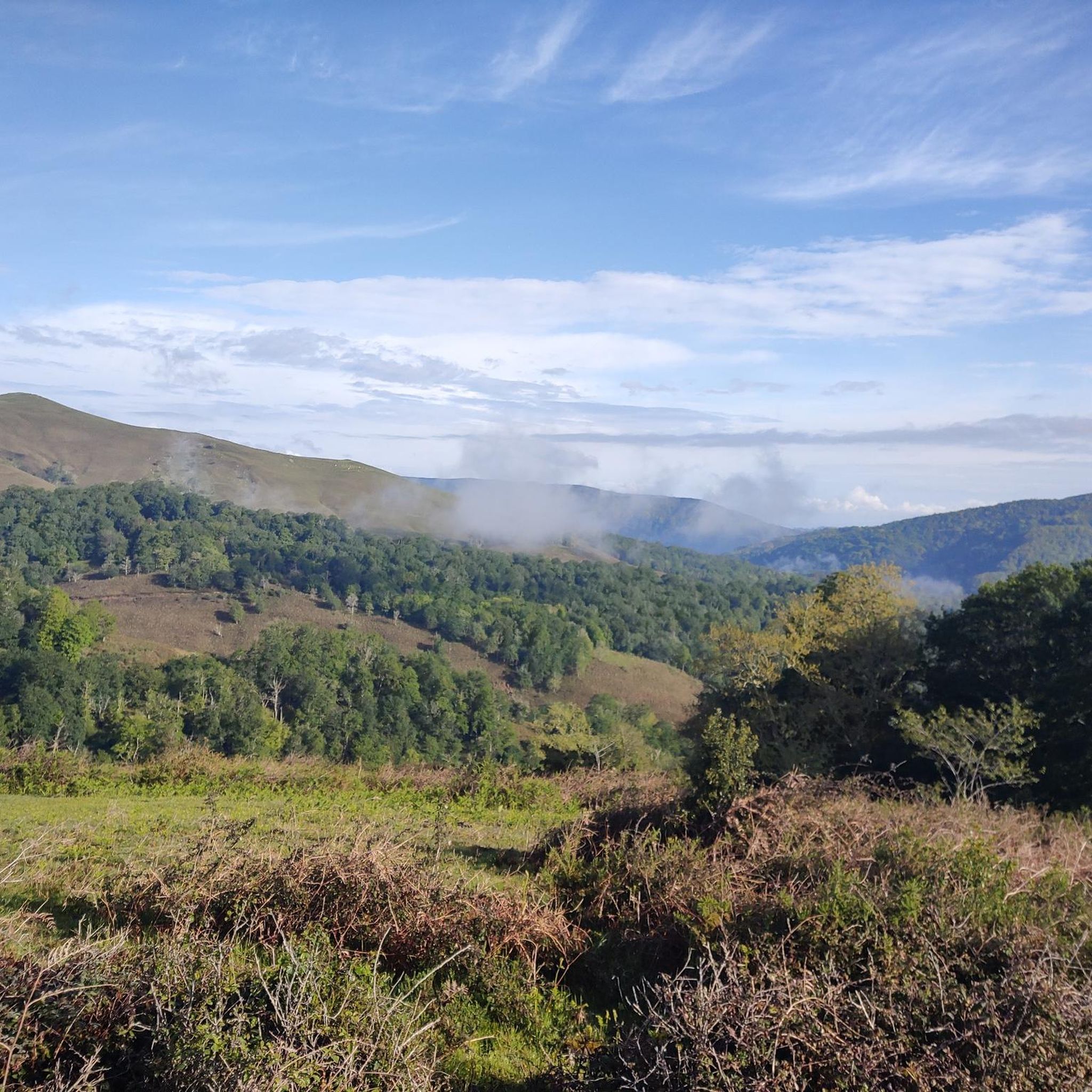
Hiking in Lic-Valles Altos Del Nansa Y Saja Y Alto Campoo
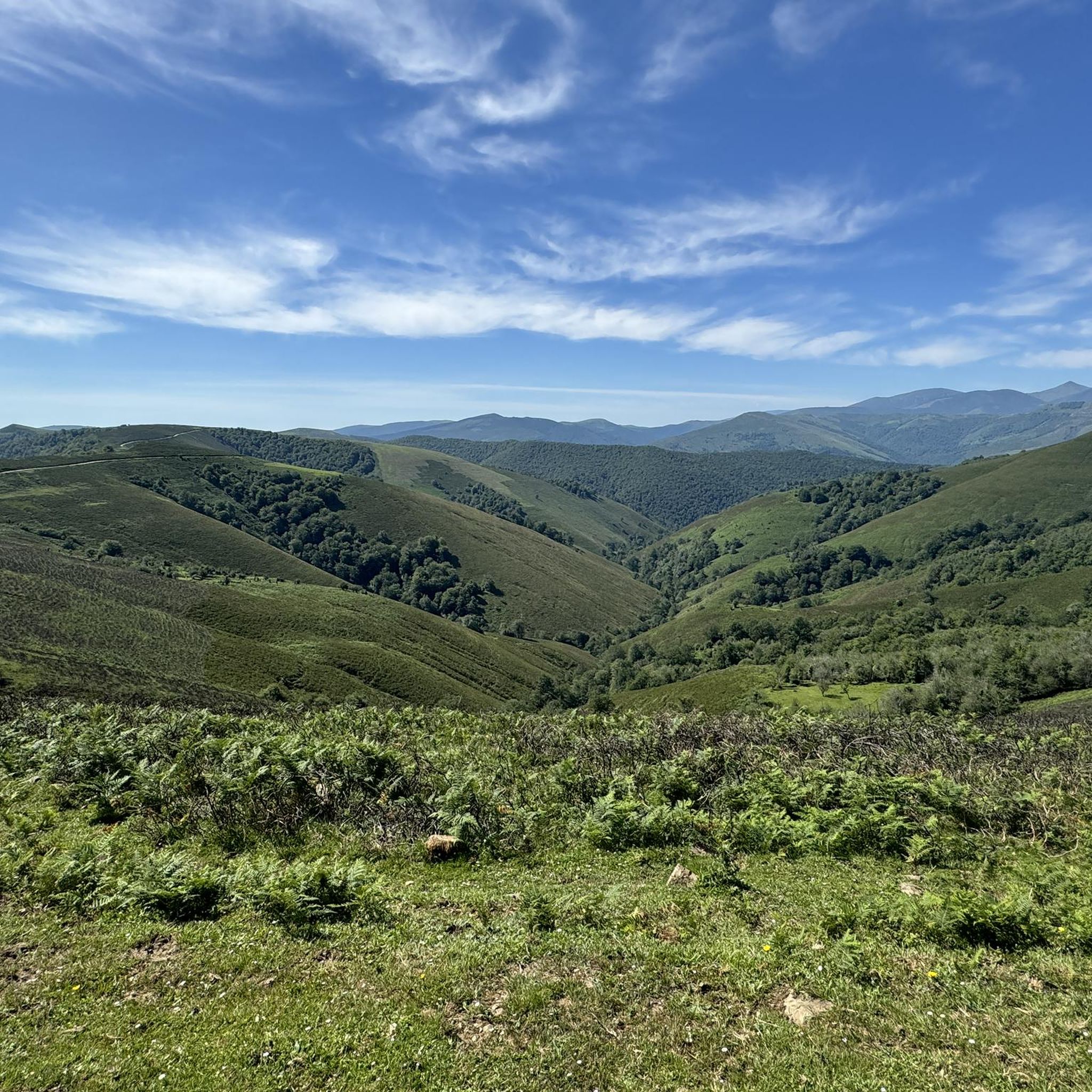
Road Cycling Routes in Lic-Valles Altos Del Nansa Y Saja Y Alto Campoo
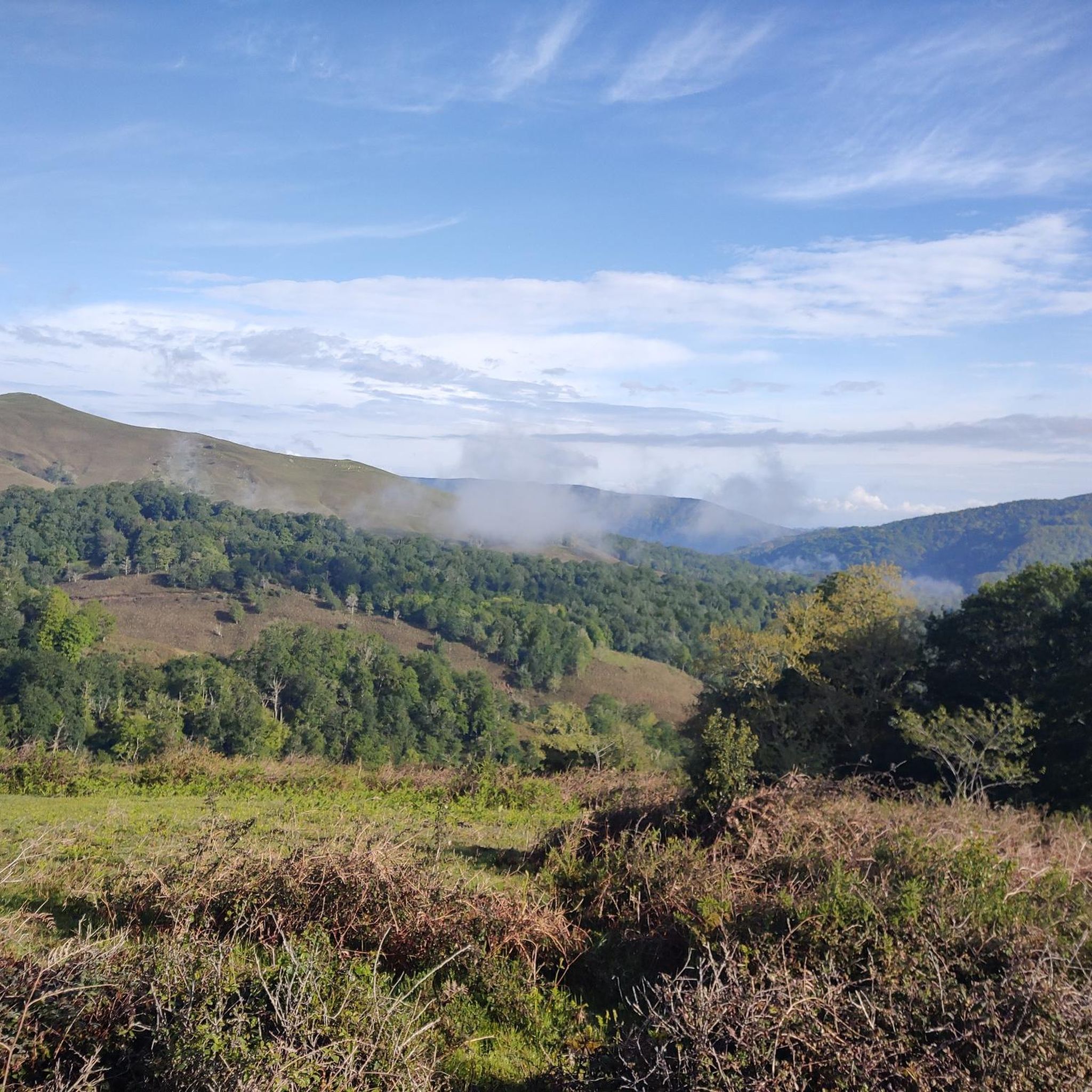
Cycling in Lic-Valles Altos Del Nansa Y Saja Y Alto Campoo
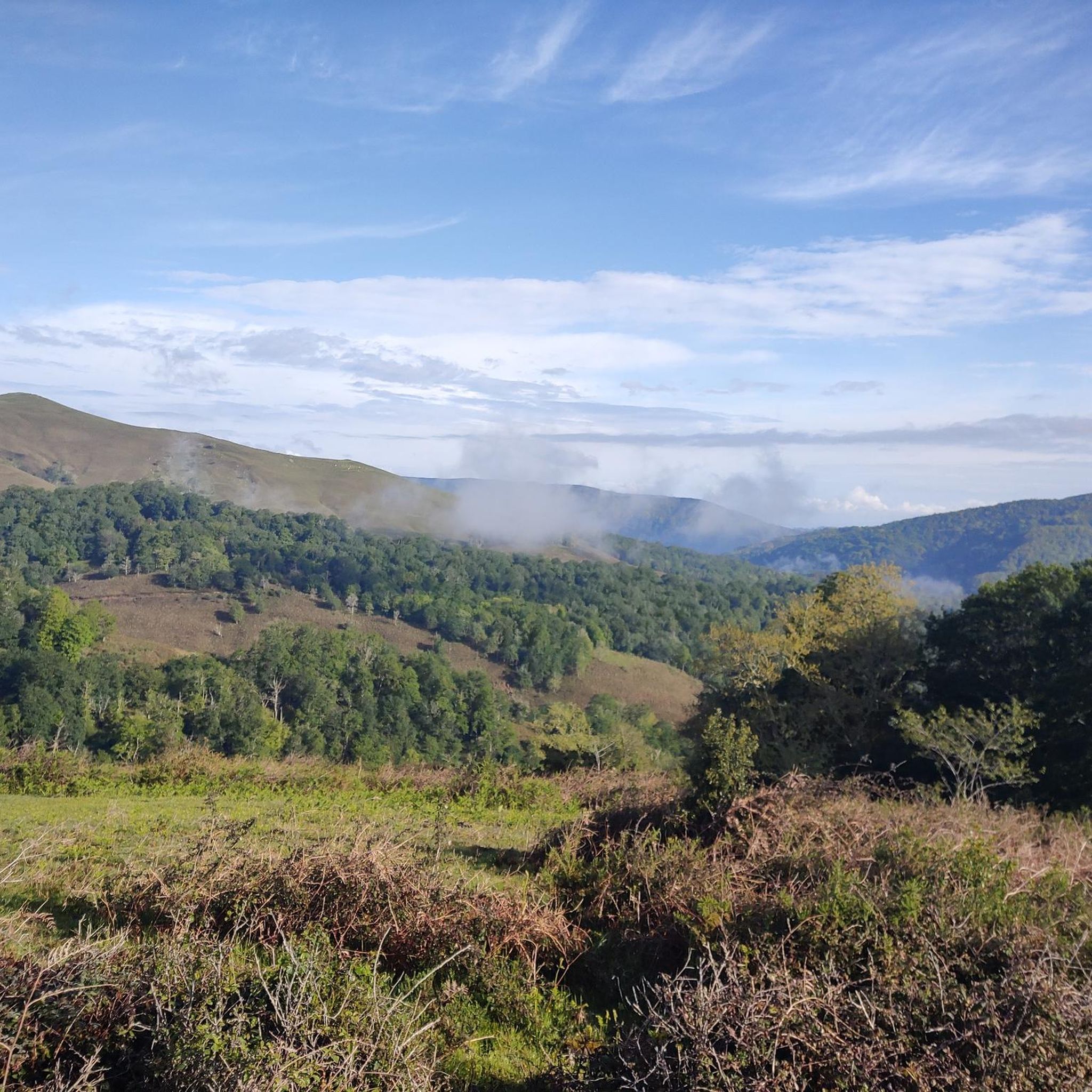
MTB Trails in Lic-Valles Altos Del Nansa Y Saja Y Alto Campoo

Gravel biking in Lic-Valles Altos Del Nansa Y Saja Y Alto Campoo
Other adventures in Lic-Valles Altos Del Nansa Y Saja Y Alto Campoo

Tips from the Community

Whenever I pass by here, even by car, I take a look at this beautiful bridge.
1
0
Beautiful site, and right in the town.
1
0

Added to the collection: komoot.com/de-de/collection/3600632/-naturdenkmaeler-besondere-baeume-und-weitere-schaetze-der-natur
0
0

The Bujilices "Tumbao" Oak, located in Ucieda (Ruente) within the Saja-Besaya Natural Park, is one of Cantabria's most unique and magical trees. The tree fell under the weight of snow and wind at the end of the 19th century, but it didn't die. Four vertical branches sprouted from the fallen trunk, developing as if they were independent trees, creating a unique and spectacular shape.
2
0

Beautiful meadow on a wide esplanade with wooden tables. From this point begins the long and hard climb to El Moral.
0
0

Bujilices fallen oak tree in Ucieda. Bucolic place to make a stop along the way, read life.
0
0

One of the singular trees of Cantabria. It is a trunk of about ten meters that rests on the ground and from which a series of branches sprout from 18 to 20 meters high. It is located on the Monte Río de los Vados route in the Ucieda forest, in section B-I.
1
0
There are several recreational areas with tables and barbecues, almost all with grills. There is also a huge children's playground and a bar that is open in summer. It has bathrooms, independent of the opening hours of the bar. Along the route of the Bayones River you will find the Ucieda pools where you can bathe.
1
0
Frequently Asked Questions
What kind of terrain can I expect on the running routes in Lic-Valles Altos Del Nansa Y Saja Y Alto Campoo?
The region offers a diverse range of terrain, from mid to high-mountain environments. You'll find extensive deciduous forests, particularly large oak and beech woodlands, providing shaded running paths. There are also river valleys, high-altitude pastures, and rounded mountains that gradually ascend towards the Cantabrian Mountains. This variety ensures options for both challenging uphill runs and more relaxed jogs through valleys.
Are there any easy jogging routes suitable for beginners in this area?
While many routes in Lic-Valles Altos Del Nansa Y Saja Y Alto Campoo are rated as difficult, the varied topography, including river valleys, suggests there are sections suitable for easier jogs. For a more relaxed experience, look for paths along the riverbanks or through the flatter parts of the valleys. Komoot's route descriptions often provide elevation profiles to help you choose.
What are some notable natural features or landmarks I might see while running in the region?
The area is rich in natural beauty. You might encounter the extensive Saja forest with its vibrant deciduous trees, high-altitude pastures offering wide-open views, and the headwaters of the Nansa, Saja, and Híjar rivers. Notable peaks like Peña Labra and Tres Mares Peak offer dramatic backdrops. You could also visit viewpoints like El Moral Plateau for stunning vistas.
Can I bring my dog on the running trails in Lic-Valles Altos Del Nansa Y Saja Y Alto Campoo?
Many outdoor areas in Spain, including natural parks, generally welcome dogs, often requiring them to be on a leash to protect wildlife and ensure other visitors' comfort. Given the region's status as a biodiversity hotspot and part of the Natura 2000 network, it's advisable to keep your dog under control. Always check specific signage at trailheads for any local regulations regarding pets.
Are there any family-friendly jogging routes in the area?
While most listed routes are rated difficult, the region's diverse landscape includes flatter sections along river valleys and through forests that can be suitable for families. Look for routes with minimal elevation gain and shorter distances. These areas provide a peaceful environment and natural beauty for a family jog.
What is the best time of year to go jogging in Lic-Valles Altos Del Nansa Y Saja Y Alto Campoo?
Spring and autumn are particularly beautiful for jogging. In spring, the deciduous forests burst with new growth, and in autumn, the foliage offers a spectacular display of colors. These seasons generally provide pleasant temperatures. Summer can be warm, especially at lower elevations, while winter brings colder temperatures and potential snow, particularly in the high-mountain areas like Alto Campoo, which might require specialized gear.
Are there any long-distance running trails available?
Yes, the region offers several longer routes. For example, the Campa de Ucieda – La Fuentona loop from Río Bayones is a challenging 14.7-mile (23.7 km) trail, and the Tres Mares Peak – Tres Mares loop from Estación de Esquí y Montaña Alto Campoo covers 11.6 miles (18.6 km) through mountainous terrain.
What do other runners enjoy most about jogging in Lic-Valles Altos Del Nansa Y Saja Y Alto Campoo?
The area is highly rated by the komoot community, with an average score of 4.9 stars from over 10 reviews. Runners often praise the diverse mountainous terrain, the extensive forests offering shaded paths, and the stunning high-altitude pastures. The variety of options, from challenging uphill runs to more relaxed valley jogs, is also frequently highlighted.
Are there any circular running routes in the region?
Yes, several routes are designed as loops, allowing you to start and finish at the same point. An example is the Ucieda Mountain House – Campa de Ucieda loop from Río Bayones, which is a challenging 10.2-mile (16.4 km) trail. The Campa de Ucieda – La Fuentona loop from Río Bayones is another longer circular option.
Where can I find parking for the jogging trails?
Specific parking information varies by trailhead. However, many popular outdoor areas in Spain, especially near natural parks and trail starting points, typically have designated parking areas. For routes starting from villages or specific points like Estación de Esquí y Montaña Alto Campoo, you can usually find parking nearby. It's always recommended to check the route details on Komoot for specific parking suggestions.
Are there any cafes or amenities near the running routes?
The region includes traditional villages like Bárcena Mayor, which preserve ethnographic elements and often offer local amenities such as cafes or small shops. While not directly on every trail, these villages can serve as good starting or ending points for a run, providing opportunities for refreshments.
What are the winter jogging conditions like in Lic-Valles Altos Del Nansa Y Saja Y Alto Campoo?
Winter conditions can vary significantly depending on elevation. In the high-mountain areas, especially around Alto Campoo, you can expect snow and colder temperatures, making some trails more suitable for experienced winter trail runners with appropriate gear. Lower valleys might offer more accessible routes, but generally, be prepared for colder weather and potentially icy or muddy conditions.
Most popular routes in Lic-Valles Altos Del Nansa Y Saja Y Alto Campoo
Most popular attractions in Lic-Valles Altos Del Nansa Y Saja Y Alto Campoo

Get inspired with the komoot mobile app


Explore more
Browse the best Running Trails & Routes in other regions.
