Lic-Valles Altos Del Nansa Y Saja Y Alto Campoo
Lic-Valles Altos Del Nansa Y Saja Y Alto Campoo
The best gravel rides in Lic-Valles Altos Del Nansa Y Saja Y Alto Campoo
5.0
(2)
46
riders
9
rides
Gravel biking in Lic-Valles Altos Del Nansa Y Saja Y Alto Campoo offers challenging routes through a diverse landscape. The region is characterized by natural parks, such as Saja-Besaya, featuring significant elevation changes and varied terrain. Riders can expect to encounter valleys, hills, and forested areas, providing a robust environment for advanced gravel biking routes.
Best gravel bike trails in Lic-Valles Altos Del Nansa Y Saja Y Alto Campoo
- The most popular gravel bike trail is Gravel loop in Saja-Besaya…
Last updated: July 2, 2026
13
riders
85.6km
08:34
2,040m
2,040m
Hard gravel ride. Very good fitness required. Mostly paved surfaces. Suitable for all skill levels.
5
riders
72.5km
06:20
2,100m
2,100m
Hard gravel ride. Very good fitness required. Mostly paved surfaces. Suitable for all skill levels.

Sign up for free
2
riders
45.6km
03:27
840m
840m
Hard gravel ride. Very good fitness required. Mostly paved surfaces. Suitable for all skill levels.
1
riders
37.1km
02:41
660m
660m
Hard gravel ride. Very good fitness required. Mostly paved surfaces. Suitable for all skill levels.
2
riders
42.5km
03:12
690m
690m
Hard gravel ride. Very good fitness required. You may need to push your bike for some segments of this route.
Get access to more routes and recommendations from other explorers.
Sign up for free
Already have an account?
Our route recommendations are based on thousands of hikes, rides, and runs completed by other people on komoot.
Start today with a free account
Your next adventure awaits.
Login or Signup
Popular around Lic-Valles Altos Del Nansa Y Saja Y Alto Campoo

Between valleys and villages – Saja Reserve Trail (GR 71)
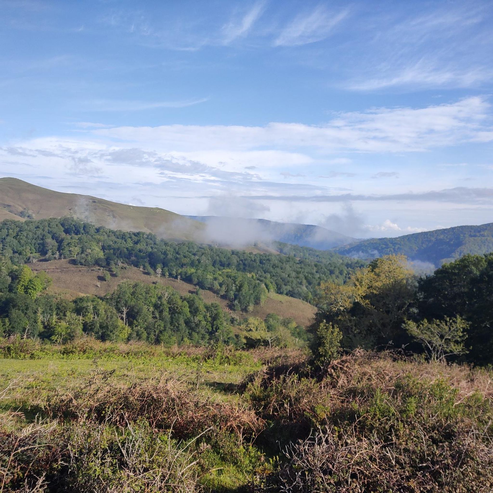
Hiking in Lic-Valles Altos Del Nansa Y Saja Y Alto Campoo
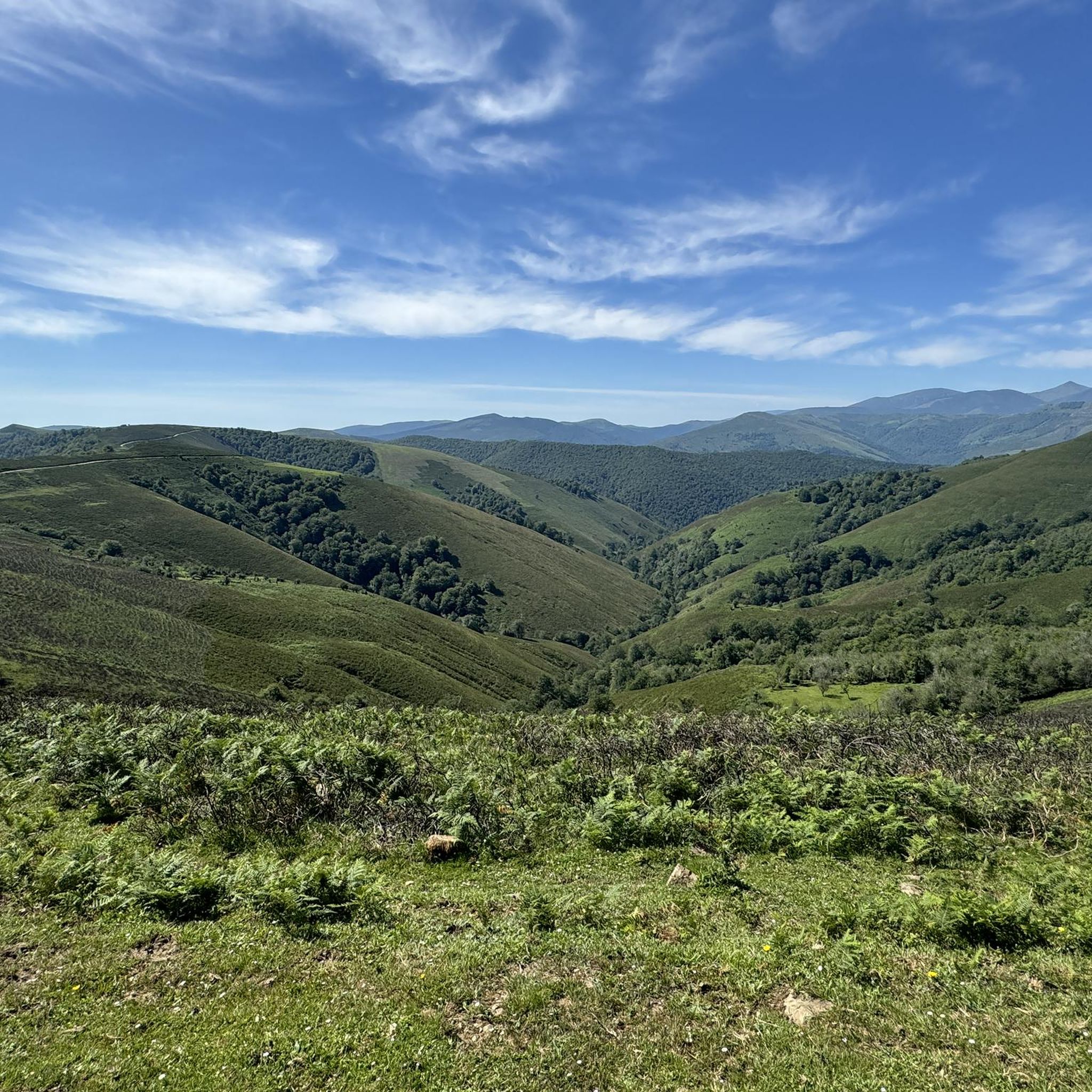
Road Cycling Routes in Lic-Valles Altos Del Nansa Y Saja Y Alto Campoo
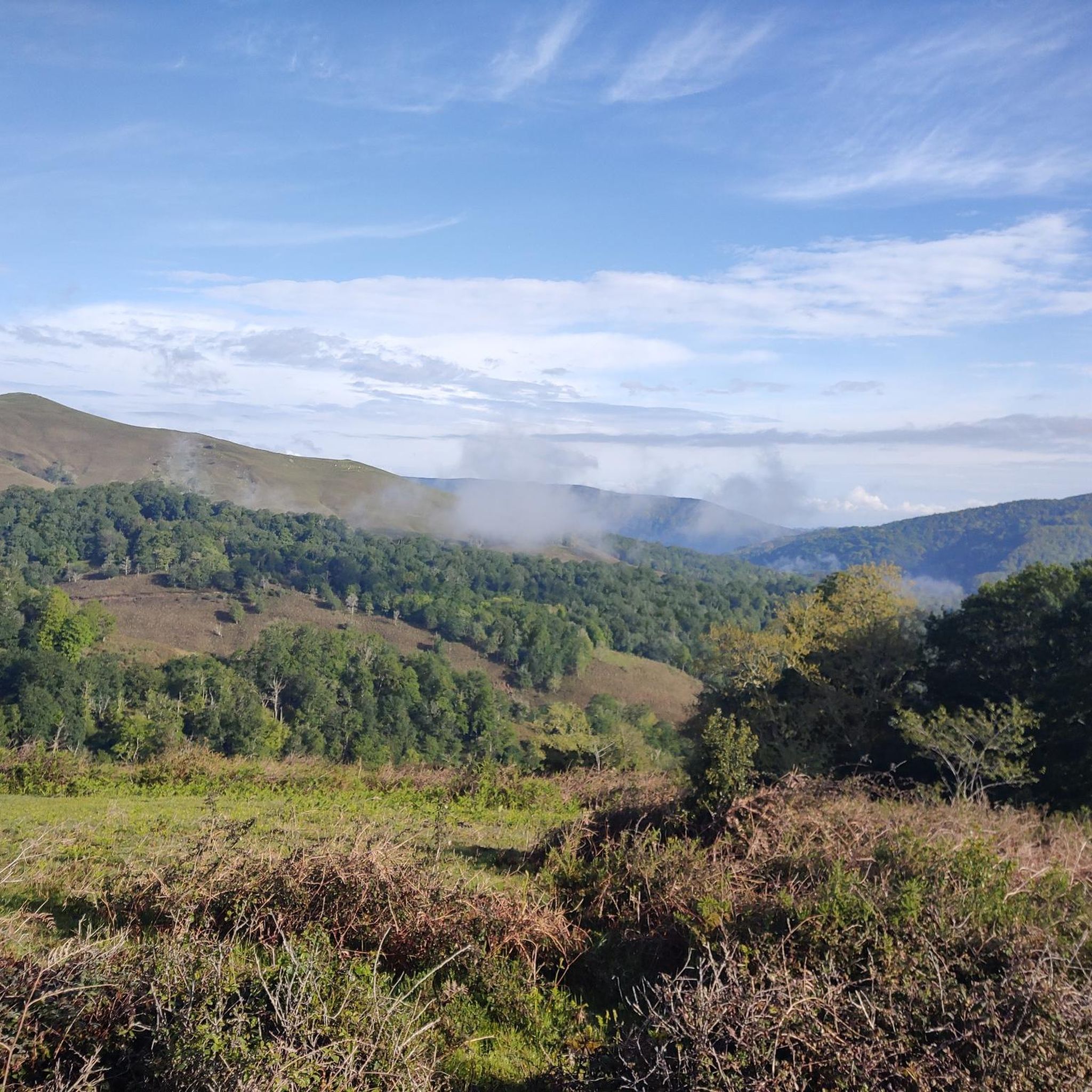
Cycling in Lic-Valles Altos Del Nansa Y Saja Y Alto Campoo
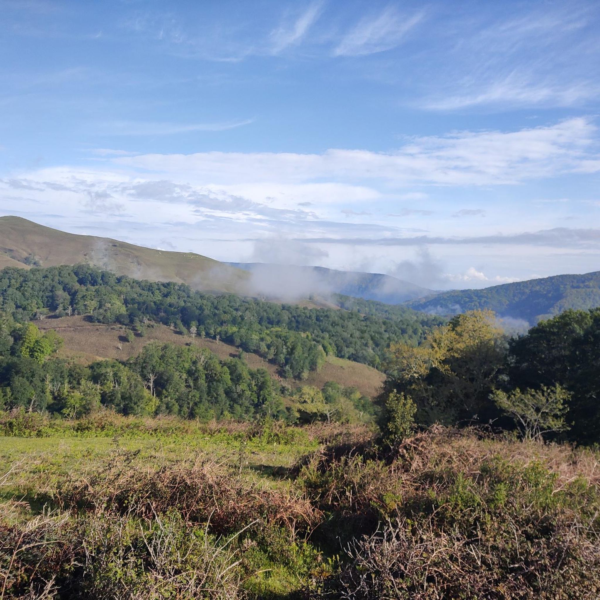
MTB Trails in Lic-Valles Altos Del Nansa Y Saja Y Alto Campoo
Running Trails in Lic-Valles Altos Del Nansa Y Saja Y Alto Campoo
Other adventures in Lic-Valles Altos Del Nansa Y Saja Y Alto Campoo

Tips from the Community

The Collada de Carmona is a mountain pass in the Cantabrian mountain range located in western Cantabria.[1] It rises to 601 m above sea level and links the towns of Valle to the east and Carmona to the west, both belonging to the municipality of Cabuérniga.
0
0
The Monte Aa Pass is a very beautiful climb with spectacular landscapes. The pass is located on the mountain that separates Carmona from Ruente. Along the route we will find different trees catalogued within the Inventory of Singular Trees of Cantabria. These are spectacular specimens of oak and beech. The Monte Aa forest is made up of a mature oak forest dominated by oaks. To a lesser extent, there are beeches, sessile oaks and oaks. The abundance of holly trees is remarkable. As for the fauna that inhabits it, birds such as the goshawk, the sparrowhawk, the black kite, the common buzzard, the common kestrel, the woodpecker and other forest birds stand out. Mammals such as the roe deer, the deer or the badger and carnivores such as the marten or the polecat.
2
0
The climb to Negreo along the southern slopes of Renedo and Moscadoriu, due to its length, is not one of the longest, it is only 6 kilometres but in two sections, each one stickier than the other, the first 3 kilometres with very hard concrete ramps with a gradient of up to 18-20% that make the bike rise more than expected and the last three kilometres with a lesser gradient but on more technical and broken terrain.
0
0

Spectacular beech forest in the Saja park that is part of the 10,000 of Soplao
1
0
Pure green to enjoy
0
0

On a hill, and guarding the road that linked the coast with Castilla through the Saja Valley, is the Castillo de San Vicente, in Argüeso, within the municipality of the Brotherhood of Campoo de Suso, in the South from Cantabria (Spain). Built during the 13th, 14th and 15th centuries, it was the emblem and fortress of the dominion of the House of Mendoza in the highlands of Campoo.
8
0

Beautiful 12th century church and an example of Romanesque-style religious architecture in southern Cantabria. The church is listed as an Asset of Cultural Interest. Inside it has a small interactive museum.
1
0
Located between high mountains far from the sea, the fascinating thing about this city is that it dates back to the Middle Ages, with an old town with interesting monuments to visit. The structure that stands out the most is the church of San Sebastián in the old center of the city. Furthermore, in the Town Hall Square you can see a set of ashlar buildings, built in the 16th and 17th centuries. Don't forget to try the city's most typical sweet, calf, which is a puff pastry with caramelized sugar.
1
0
Frequently Asked Questions
What is the general difficulty level of gravel biking routes in Lic-Valles Altos Del Nansa Y Saja Y Alto Campoo?
The gravel biking routes in Lic-Valles Altos Del Nansa Y Saja Y Alto Campoo are generally challenging, featuring significant elevation changes and varied terrain. They are best suited for experienced riders looking for a robust adventure through natural parks and forested areas.
Are there any long-distance gravel biking routes in the region?
Yes, the region offers several long-distance routes. For example, the Gravel loop in Saja-Besaya natural park is a substantial 85.6 km (53.2 miles) ride with over 2,000 meters (6,700 feet) of elevation gain. Another demanding option is the Ucieda Parking with Fountain – Collada de Carmona loop from Ruente, covering 72.5 km (45.0 miles) with similar elevation.
What kind of terrain can I expect on these gravel trails?
You can expect a diverse range of terrain, including valleys, hills, and forested areas. The routes often traverse natural parks like Saja-Besaya, meaning you'll encounter varied surfaces and significant climbs, providing a true test for gravel bikers.
Are there any circular gravel bike routes available?
Yes, many of the routes are designed as loops. Besides the Saja-Besaya loop, you can explore the Historic Center of Reinosa – Cruz de Fuentes loop from Reinosa, which is a 45.6 km (28.4 miles) trail leading through the historic center and towards natural viewpoints.
What are some notable viewpoints or natural attractions along the gravel routes?
The region is rich in natural beauty. Along your rides, you might encounter stunning spots like the El Moral Plateau, offering expansive views. You could also pass by the unique Fallen Oak of Brujilices or experience a beautiful section through the beech forest.
Are there any routes that pass through historical areas or settlements?
Yes, the Historic Center of Reinosa – Cruz de Fuentes loop from Reinosa takes you directly through the historic center of Reinosa. Additionally, the charming settlement of Bárcena Mayor is another point of interest in the region that you might encounter or visit nearby.
What is the best season for gravel biking in Lic-Valles Altos Del Nansa Y Saja Y Alto Campoo?
Given the significant elevation changes and potential for varied weather, the spring and autumn months generally offer the most pleasant conditions for gravel biking. Summers can be warm, and winters may bring snow to higher elevations, making some routes more challenging or inaccessible.
Are there any routes suitable for beginners or families?
The routes in Lic-Valles Altos Del Nansa Y Saja Y Alto Campoo are primarily challenging and suitable for experienced riders due to significant elevation gains and technical terrain. There are currently no routes specifically categorized as easy or family-friendly in this guide.
What do other gravel bikers say about the routes in this region?
The routes in Lic-Valles Altos Del Nansa Y Saja Y Alto Campoo are highly rated by the komoot community, with an average score of 5.0 stars. Riders often praise the challenging nature of the trails and the stunning natural landscapes encountered throughout the natural parks.
Where can I find parking for these gravel trails?
Many routes, such as the Ucieda Parking with Fountain – Collada de Carmona loop from Ruente, indicate starting points with parking availability. It's advisable to check the specific tour details on komoot for designated parking areas or suitable starting points near trailheads.
Are there any routes that explore the higher peaks of the region?
Yes, some routes offer views or access to the region's peaks. For instance, the Alto de San Cipriano – Pico del Palo de Ibio loop from Estación de Las Caldas de Besaya includes substantial climbing. You might also find views of prominent summits like Tres Mares Peak and Peña Labra from various points along the trails.
Can I find cafes or places to refuel along the gravel routes?
While specific cafes are not highlighted on every route, many trails pass through or near small villages and towns where you can typically find local establishments to refuel. It's always a good idea to carry sufficient water and snacks, especially on longer, more remote sections.
Most popular routes in Lic-Valles Altos Del Nansa Y Saja Y Alto Campoo
Most popular attractions in Lic-Valles Altos Del Nansa Y Saja Y Alto Campoo

Get inspired with the komoot mobile app


Explore more
Browse the best Gravel rides in other regions.
