The best walks and hikes in Lic-Valles Altos Del Nansa Y Saja Y Alto Campoo
4.4
(1063)
5,968
hikers
28
hikes
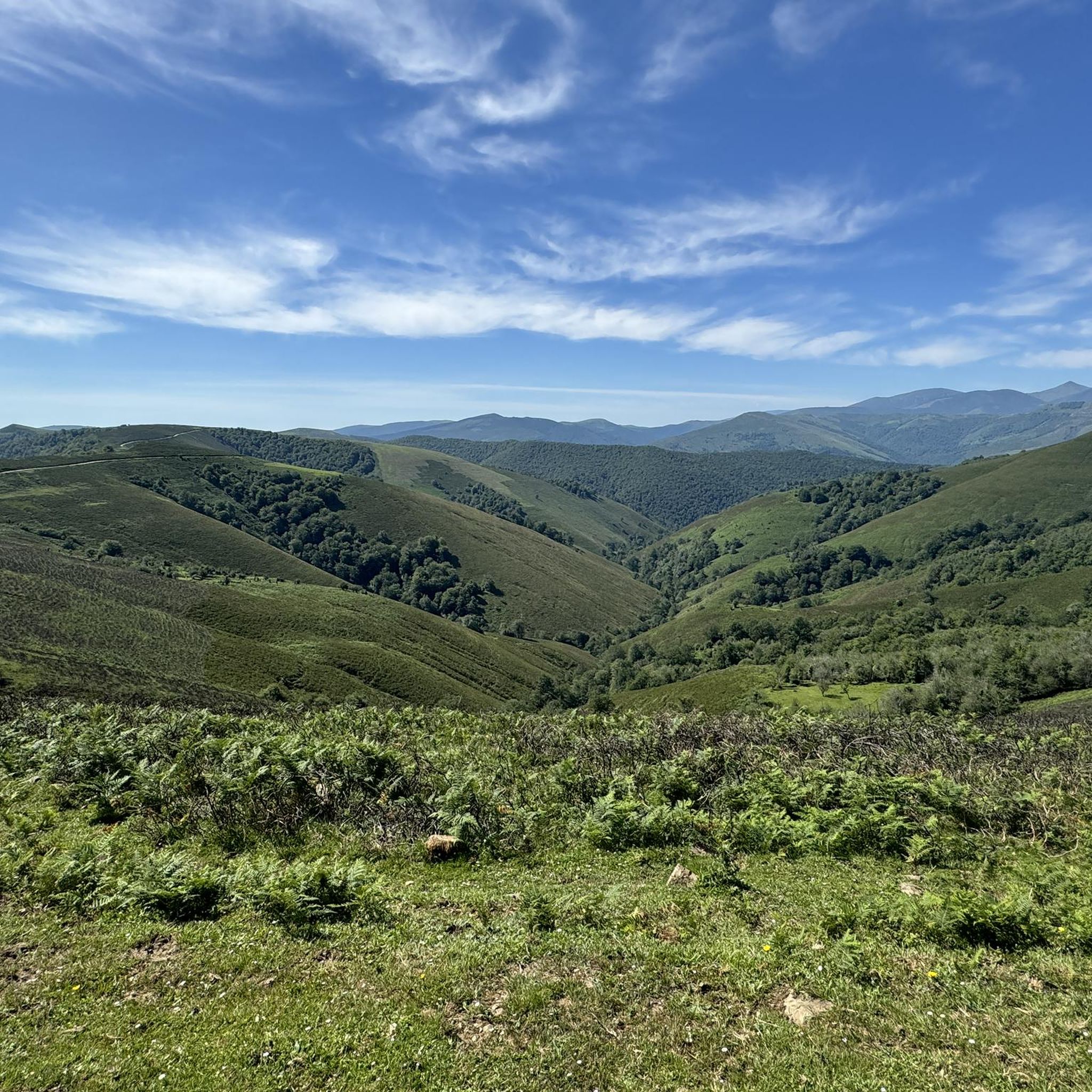
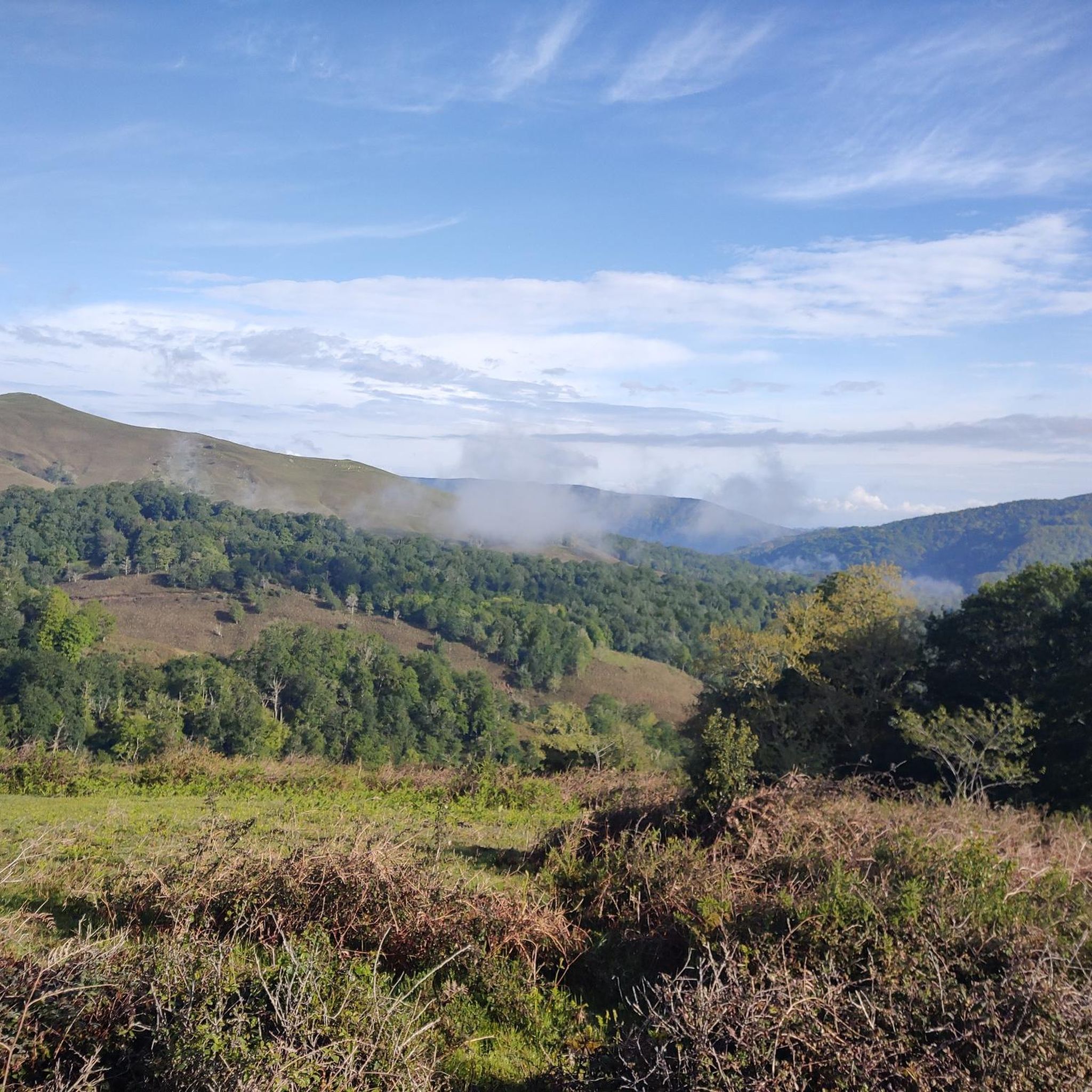
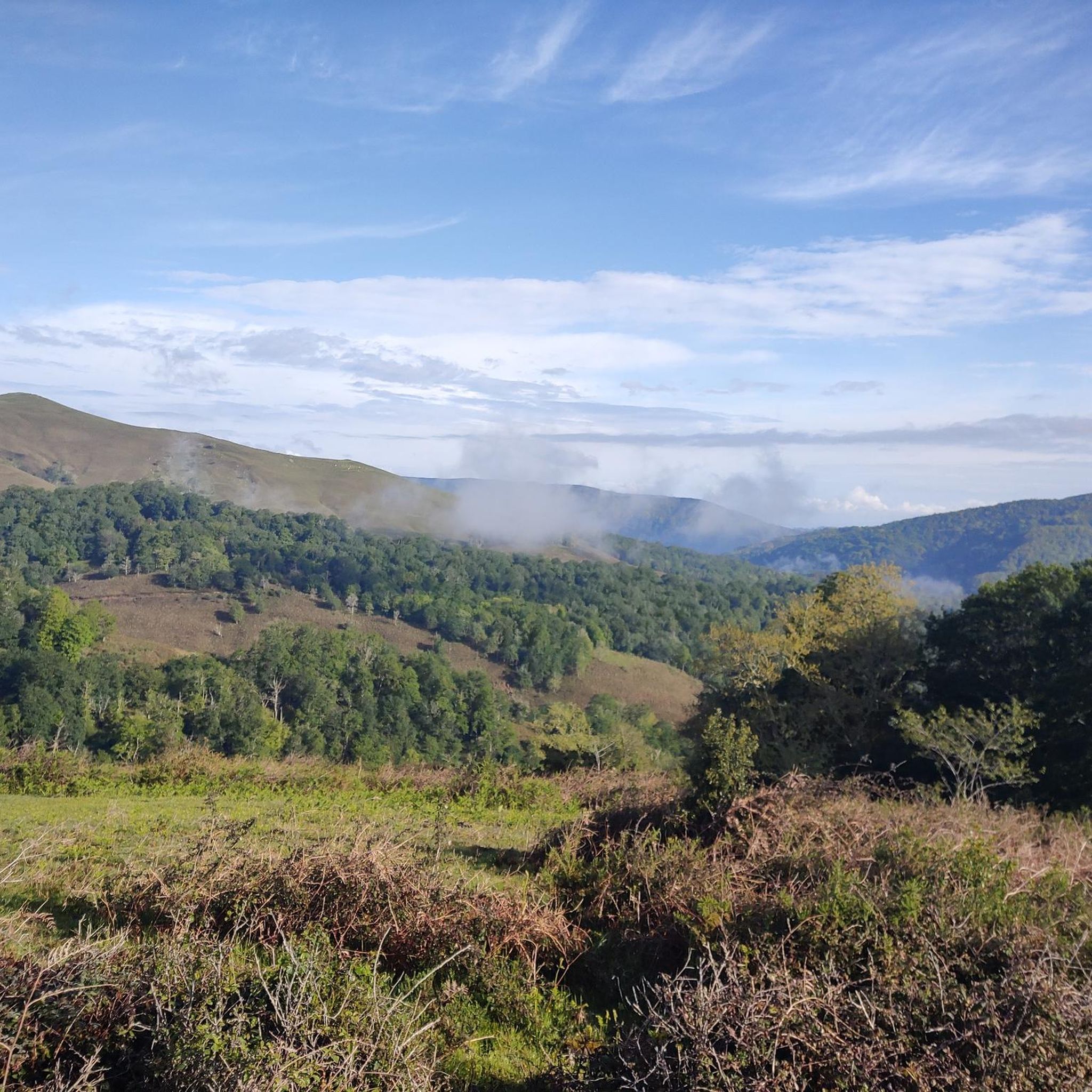
Hiking in Lic-Valles Altos Del Nansa Y Saja Y Alto Campoo explores a vast protected area in Cantabria, Spain, characterized by high and mid-mountain terrain. The landscape features worn mountains with gently rounded peaks that ascend towards the Cantabrian Mountains, encompassing the headwaters of the Nansa, Saja, and Híjar rivers. Hikers will find diverse deciduous forests, extensive high mountain pastures, and various heathlands. Glacial formations are also present in some areas, contributing to the region's varied topography.
Best hiking trails…
Last updated: July 7, 2026
4.8
(26)
182
hikers
15.6km
04:30
390m
390m
Moderate hike. Good fitness required. Easily-accessible paths. Suitable for all skill levels.
4.5
(11)
69
hikers
6.98km
01:53
90m
90m
Easy hike. Great for any fitness level. Easily-accessible paths. Suitable for all skill levels.

Sign up for free
5.0
(3)
26
hikers
8.51km
02:38
320m
320m
Moderate hike. Good fitness required. Easily-accessible paths. Suitable for all skill levels.
6.90km
02:12
280m
280m
Moderate hike. Good fitness required. Easily-accessible paths. Suitable for all skill levels.
4.5
(4)
81
hikers
Easy hike. Great for any fitness level. Easily-accessible paths. Suitable for all skill levels.
Get access to more routes and recommendations from other explorers.
Sign up for free
Already have an account?
Our route recommendations are based on thousands of hikes, rides, and runs completed by other people on komoot.
Start today with a free account
Your next adventure awaits.
Login or Signup
Popular around Lic-Valles Altos Del Nansa Y Saja Y Alto Campoo

Between valleys and villages – Saja Reserve Trail (GR 71)
Road Cycling Routes in Lic-Valles Altos Del Nansa Y Saja Y Alto Campoo
Cycling in Lic-Valles Altos Del Nansa Y Saja Y Alto Campoo
MTB Trails in Lic-Valles Altos Del Nansa Y Saja Y Alto Campoo
Running Trails in Lic-Valles Altos Del Nansa Y Saja Y Alto Campoo

Gravel biking in Lic-Valles Altos Del Nansa Y Saja Y Alto Campoo
Other adventures in Lic-Valles Altos Del Nansa Y Saja Y Alto Campoo

Tips from the Community

Added to the collection: komoot.com/de-de/collection/3600632/-naturdenkmaeler-besondere-baeume-und-weitere-schaetze-der-natur
0
0
Added to the collection: komoot.com/de-de/collection/3600632/-naturdenkmaeler-besondere-baeume-und-weitere-schaetze-der-natur
0
0

And it's also the starting point for a ton of really cool routes.
2
0

The Bujilices "Tumbao" Oak, located in Ucieda (Ruente) within the Saja-Besaya Natural Park, is one of Cantabria's most unique and magical trees. The tree fell under the weight of snow and wind at the end of the 19th century, but it didn't die. Four vertical branches sprouted from the fallen trunk, developing as if they were independent trees, creating a unique and spectacular shape.
2
0

Bujilices fallen oak tree in Ucieda. Bucolic place to make a stop along the way, read life.
0
0
As always when I go to this town, I doubt if the best thing is the town... or the food, both extraordinary.
3
0
And the views of the town from the other side, enchanting.
2
0

A classic animal drinker.
1
0
Frequently Asked Questions
How many hiking trails are available in Lic-Valles Altos Del Nansa Y Saja Y Alto Campoo?
There are over 25 hiking routes documented in Lic-Valles Altos Del Nansa Y Saja Y Alto Campoo, ranging from easy walks to more challenging mountain ascents. You'll find 8 easy routes, 17 moderate routes, and 4 difficult trails to explore.
What kind of terrain can I expect on the hiking trails in this region?
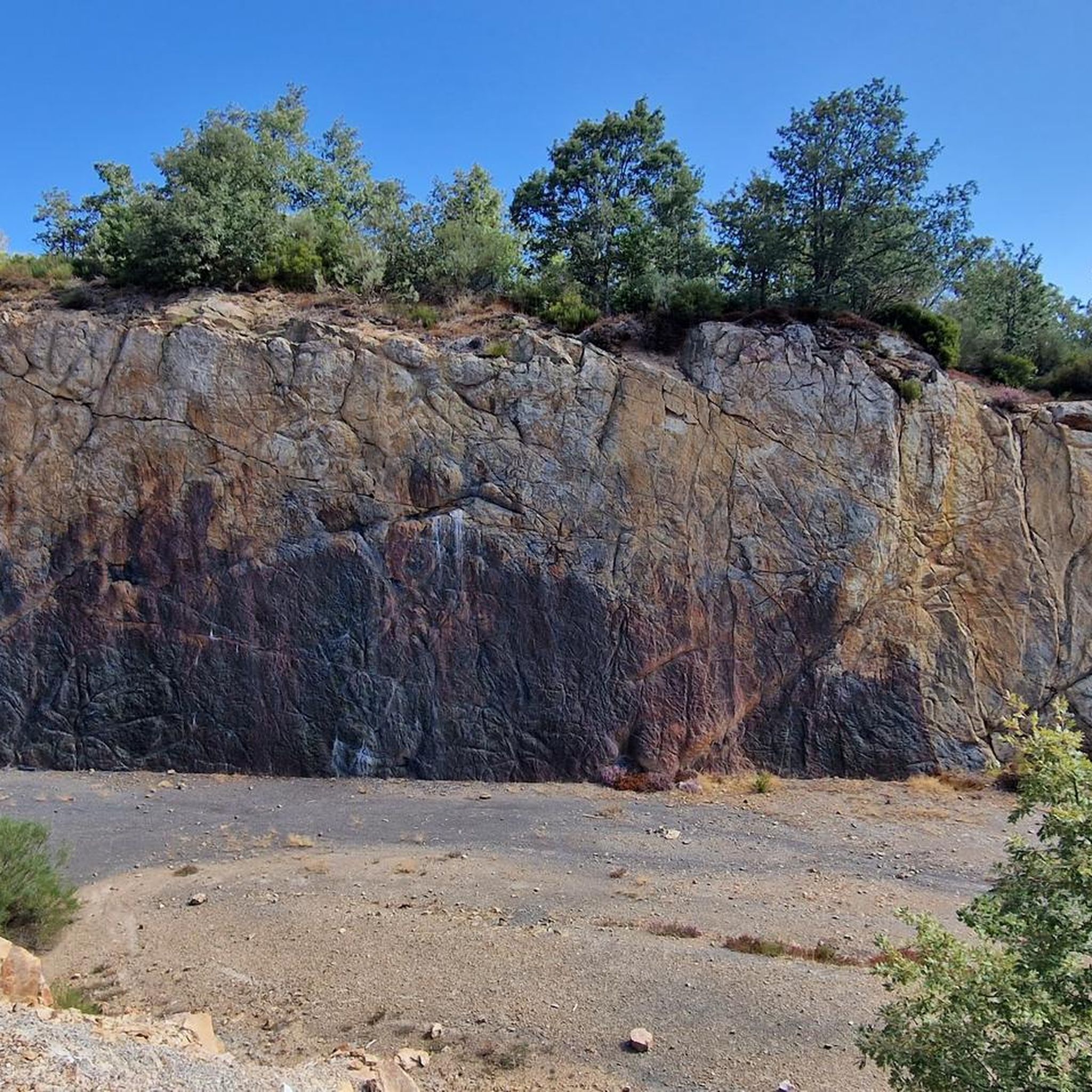
The terrain in Lic-Valles Altos Del Nansa Y Saja Y Alto Campoo is diverse, featuring worn mountains with gently rounded peaks, extensive deciduous forests (primarily oak and beech), high mountain pastures, and river valleys. Some areas also show unique geological features shaped by ancient glaciers.
Are there any easy hiking trails suitable for beginners or families?
Yes, the region offers several easy trails. One popular option is the Fuente Clara Trail, a 4.3-mile (7.0 km) route through forested areas. Another accessible choice is the Tres Mares Peak – Tres Mares loop from Estación de Esquí y Montaña Alto Campoo, which is just under 2 miles (2.8 km) long.
What notable landmarks or viewpoints can I see while hiking?
Hikers can discover several interesting natural features and viewpoints. The El Moral Plateau offers breathtaking scenery, and the unique Fallen Oak of Brujilices is a natural monument worth seeing. For panoramic vistas, consider trails leading to Peña Labra or Tres Mares Peak.
Are there any circular hiking routes in the Alto Campoo area?
Yes, for a circular experience in Alto Campoo, consider the Tres Mares Peak – Tres Mares loop from Estación de Esquí y Montaña Alto Campoo. This route offers a relatively short, easy loop around the Tres Mares Peak area.
Is Lic-Valles Altos Del Nansa Y Saja Y Alto Campoo suitable for dog-friendly hiking?
The region is generally welcoming for hikers with dogs, offering many natural trails through forests and mountain pastures. Always ensure your dog is under control, especially in areas with livestock or wildlife, and check local regulations for specific protected zones within the Saja-Besaya Natural Park.
What is the best time of year to go hiking in this region?
The best time to hike in Lic-Valles Altos Del Nansa Y Saja Y Alto Campoo is typically from late spring through early autumn (May to October). During these months, the weather is generally milder, and trails are more accessible. Autumn offers spectacular views of the deciduous forests changing color.
Are there any trails that feature bridges or river crossings?
Yes, the region's river valleys provide opportunities for trails with bridges. The Route of the Bridges is a prominent example, following river valleys and crossing multiple bridges. Another option is the Trail of the Bridges of Ucieda.
What do other hikers enjoy most about hiking in Lic-Valles Altos Del Nansa Y Saja Y Alto Campoo?
The area is highly rated by the komoot community, with an average score of 4.6 stars from over 300 reviews. Hikers frequently praise the diverse landscapes, from ancient forests to high mountain peaks, and the well-preserved natural environment. The variety of trails suitable for different abilities is also a common highlight.
Are there any charming villages or cultural sites to visit near the hiking trails?
Yes, beyond its natural beauty, the region includes charming villages. Bárcena Mayor, considered one of Spain's most beautiful towns, offers cultural insights and is a great place to explore after a hike.
Is public transport available to access hiking trailheads?
While public transport options exist in the broader Cantabria region, direct access to many remote trailheads within Lic-Valles Altos Del Nansa Y Saja Y Alto Campoo can be limited. It's often advisable to use a car for maximum flexibility, especially when accessing trails deep within the Saja-Besaya Natural Park or Alto Campoo.
Are there any specific permits required for hiking in this protected area?
Lic-Valles Altos Del Nansa Y Saja Y Alto Campoo is a protected area (SCI and SAC). While general hiking on marked trails typically does not require specific permits, it's always recommended to check with local park authorities, especially if planning off-trail excursions or activities in particularly sensitive zones within the Saja-Besaya Natural Park.
Most popular routes in Lic-Valles Altos Del Nansa Y Saja Y Alto Campoo
Most popular attractions in Lic-Valles Altos Del Nansa Y Saja Y Alto Campoo

Get inspired with the komoot mobile app


Explore more
Browse the best Hikes in other regions.
