The best road cycling routes in Pena Maseira
5.0
(2)
86
riders
17
rides
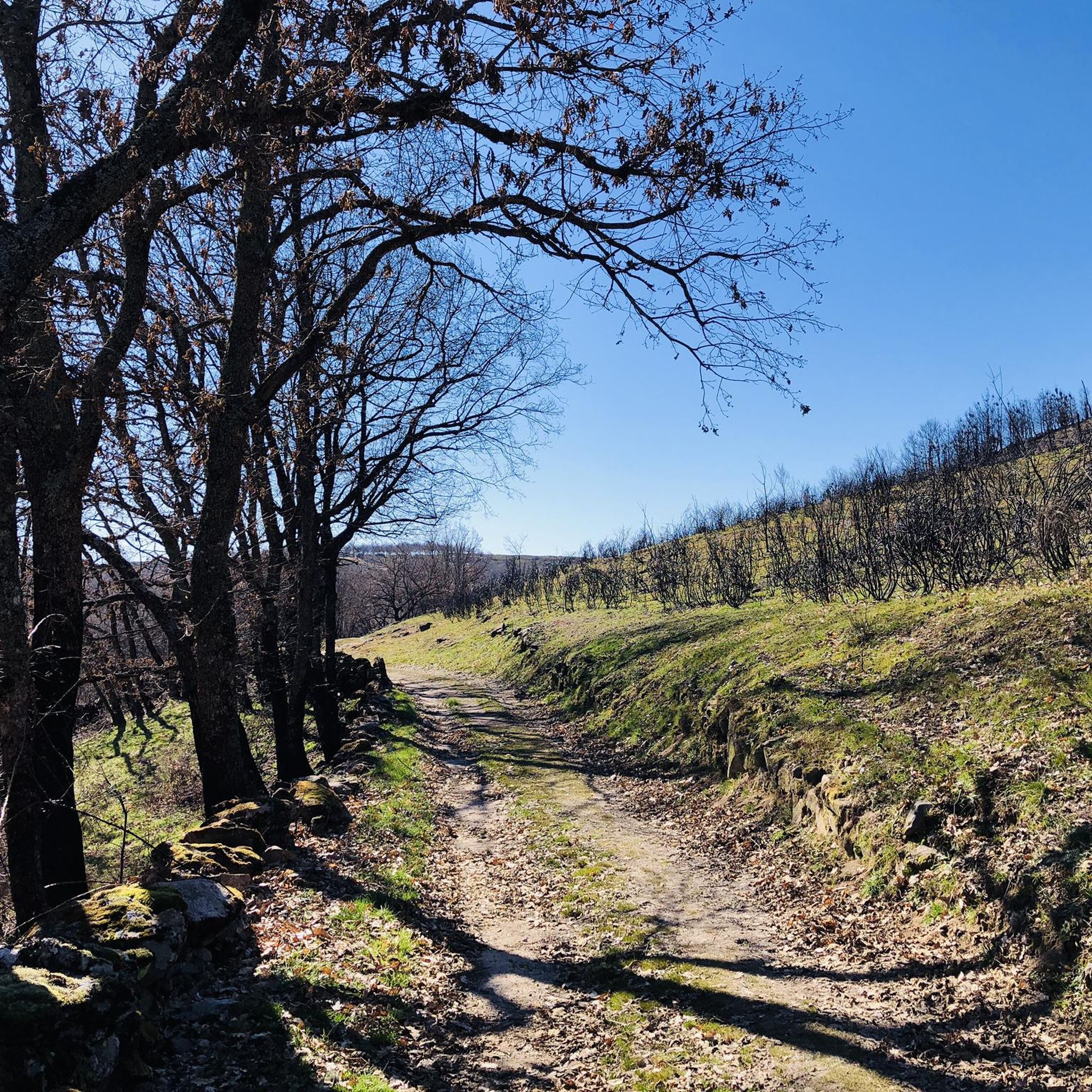
Road cycling in Pena Maseira, a Special Conservation Zone in Galicia, Spain, offers routes through a rugged and naturally rich environment. The region is characterized by mountainous terrain, including the Sierra de A Esculqueira and the Penedo dos Tres Reinos, which reach over 1,000 meters in elevation. Cyclists will encounter extensive chestnut groves in mid-mountain areas and scrubland at higher altitudes, with scenic rivers flowing through valleys. The landscape provides challenging and scenic rides, connecting the Ourense Central Massif with…
Last updated: June 28, 2026
4
riders
120km
06:42
2,300m
2,310m
Hard road ride. Very good fitness required. Some segments of this route may be unpaved and difficult to ride.
3
riders
28.8km
01:39
620m
620m
Moderate road ride. Good fitness required. Mostly well-paved surfaces and easy to ride.

Sign up for free
2
riders
Hard road ride. Very good fitness required. Mostly well-paved surfaces and easy to ride.
3
riders
93.5km
05:22
2,020m
2,020m
Hard road ride. Very good fitness required. Some segments of this route may be unpaved and difficult to ride.
13
riders
91.7km
03:49
1,640m
1,640m
This difficult 57.0-mile road cycling loop, the Itinerario de Monterrei and Alto do Fojo, offers 5395 feet of gain and takes about 3 hours 4
Get access to more routes and recommendations from other explorers.
Sign up for free
Already have an account?
Our route recommendations are based on thousands of hikes, rides, and runs completed by other people on komoot.
Start today with a free account
Your next adventure awaits.
Login or Signup
Popular around Pena Maseira


Tips from the Community

Here begins an uphill section through forests
0
1

The Portela da Canda Pass, also known as the Canda Pass or simply A Canda, is a mountain pass of great geographical, historical, and cultural value that connects Galicia (province of Ourense) with Castile and León (province of Zamora). Located in the Sierra Segundera mountain range, within the Galician Massif, it has traditionally been a crossing point for travelers, merchants, and pilgrims. It forms part of the Sanabrés Way of St. James, an extension of the Silver Route (Vía de la Plata), and is the entry point into Galicia for pilgrims coming from the south. The surrounding area features Jacobean sculptures and wayside crosses (cruceiros) that guide the route, the work of the artist Nicanor Carballo.
5
0

Small Zamorana town near Portugal in the Sanabria region. Picturesque town with numerous fountains and a bar where you can stop to recharge your batteries.
0
0

Small town located in the extreme south of the country and that offers us beautiful views of its old church, San Pedro de A Mezquita. Also, the Pazo da Mezquita.
0
0
Spectacular views that appear in these mountains that unite the towns of Seixas and Contim, with mountains full of green forests and surrounded by nature.
0
0

Portilla de la Canda is a mountain pass at 1260m above sea level and is the crossing point between the provinces of (Ourense) Galicia and Zamora (Castilla y León). There is a water feature and great views of the mountains and the highway road tunnel below.
1
1
Brief but pronounced 2 km cycling climb with an average gradient of 8.9%. The path begins to ascend as soon as you cross the 18th century masonry bridge over the Tuela River on the outskirts of Hermisende.
1
0
Small mountain village at 1000m altitude on the trade route between Castilla y León and Galicia with traditional rural houses made of stone and wood.
1
0
Frequently Asked Questions
How many road cycling routes are available in Pena Maseira?
Pena Maseira offers 16 dedicated road cycling routes. These routes range in difficulty, with 4 moderate options and 12 more challenging routes for experienced cyclists.
What kind of terrain will I encounter when road cycling in Pena Maseira?
You will experience a rugged and naturally rich environment. The terrain is predominantly mountainous, featuring the Sierra de A Esculqueira and the Penedo dos Tres Reinos. Routes often pass through extensive chestnut groves in mid-mountain areas and scrubland at higher altitudes, with scenic river valleys adding to the picturesque landscape.
Are there any road cycling routes suitable for beginners or families in Pena Maseira?
While many routes in Pena Maseira are challenging, there are 4 moderate road cycling routes available. These offer a balanced challenge through the region's varied landscape, making them more accessible for those newer to road cycling or looking for a less strenuous ride. For example, the Portela da Canda Pass – A Mezquita loop from Cádavos is a moderate option.
What are some of the longer or more challenging road cycling routes in the area?
For experienced cyclists seeking a significant challenge, Pena Maseira offers several difficult routes. The Alto de Covelo – Viewpoint of Viana do Bolo loop from A Mezquita-A Vilavella is a difficult 65.7-mile (105.7 km) path with substantial elevation gain and expansive views. Another challenging option is the Itinerario de Monterrei and Alto do Fojo Loop, covering over 90 km.
What natural features or landmarks can I see along the road cycling routes?
Pena Maseira is rich in natural beauty. You can expect to see the mountainous Sierra de A Esculqueira and the historic Penedo dos Tres Reinos, which once marked the border of medieval kingdoms. Routes often traverse extensive chestnut groves and follow scenic rivers. The region also serves as a vital ecological corridor connecting the Ourense Central Massif with Portugal's Montesinho Natural Park.
Are there any cultural or historical points of interest near the cycling routes?
Yes, the nearby municipalities of A Gudiña and A Mezquita offer cultural insights. A Gudiña is a stop on the Camino Sanabrés (a variant of the Camino de Santiago) and features the 17th-century Chapel of San Martiño and the Church of San Pedro, showcasing traditional Galician architecture. The area is also known for its local chestnut production.
What is the best time of year for road cycling in Pena Maseira?
Given the mountainous terrain, spring and autumn generally offer the most pleasant conditions for road cycling in Pena Maseira, with milder temperatures and beautiful natural scenery. Summers can be warm, while winters may bring colder weather and potential for precipitation at higher elevations.
Are there any loop trails for road cycling in Pena Maseira?
Yes, many of the road cycling routes in Pena Maseira are designed as loops, allowing you to start and end at the same point. Examples include the Portela da Canda Pass – A Mezquita loop from Cádavos and the Alto de Covelo – Viewpoint of Viana do Bolo loop from A Mezquita-A Vilavella.
What should I know about road conditions and traffic in Pena Maseira?
The broader Galicia region, including areas around Pena Maseira, is known for generally well-maintained roads with low traffic, especially on routes away from major towns. This makes for enjoyable cycling experiences, though you should always be prepared for varied surfaces and mountain road conditions.
Can I combine road cycling with exploring the Montesinho Natural Park?
Pena Maseira acts as a crucial 'green corridor' connecting the Ourense Central Massif with Portugal's Montesinho Natural Park. Some routes, like the From Landscape between Seixas and Contim to Mezquita — driving through the Parque Natural de Montesinho, specifically lead through or near the natural park, offering opportunities to experience both regions.
What are the typical elevation gains on road cycling routes in Pena Maseira?
Given the mountainous nature of Pena Maseira, you can expect significant elevation gains. For instance, the Alto de Covelo – Viewpoint of Viana do Bolo loop from A Mezquita-A Vilavella features an elevation gain of over 1900 meters, while even moderate routes like the Portela da Canda Pass – A Mezquita loop from Cádavos include over 600 meters of climbing.
Most popular routes in Pena Maseira

Get inspired with the komoot mobile app


Explore more
Browse the best Road cycling routes in other regions.
