The best walks and hikes in Pena Maseira
4.8
(35)
126
hikers
6
hikes
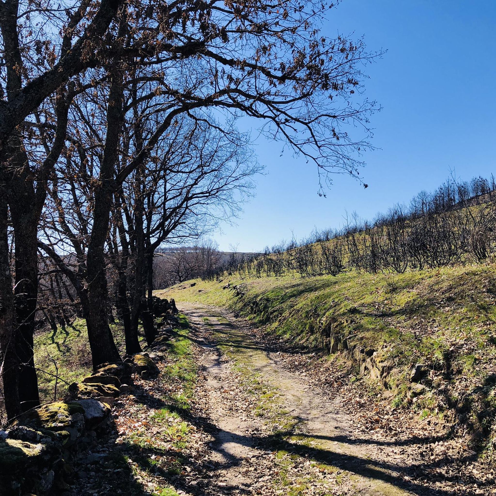
Hiking in Pena Maseira offers diverse terrain within a Special Conservation Zone in southwestern Ourense, Galicia. This mountainous massif features varied topography, including areas with chestnut trees and rivers. The region borders Portugal's Montesinho Natural Park, providing an interconnected natural environment. Notable geological features like Penedo dos Tres Reis contribute to the landscape.
Best hiking trails in Pena Maseira
- The most popular hiking route is Viewpoint Overlooking Spain – Igrejinha Chapel loop from Pinheiro Novo, a 6.9 miles (11.1…
Last updated: May 15, 2026
5.0
(10)
18
hikers
11.1km
03:12
300m
300m
Moderate hike. Good fitness required. Easily-accessible paths. Suitable for all skill levels.
4.52km
01:16
90m
90m
Easy hike. Great for any fitness level. Easily-accessible paths. Suitable for all skill levels.

Sign up for free
5
hikers
Hard hike. Very good fitness required. Mostly accessible paths. Sure-footedness required.
4.7
(16)
54
hikers
8.12km
02:23
230m
230m
Moderate hike. Good fitness required. Easily-accessible paths. Suitable for all skill levels.
2
hikers
8.68km
02:23
140m
150m
Moderate hike. Good fitness required. Easily-accessible paths. Suitable for all skill levels.
Our route recommendations are based on thousands of hikes, rides, and runs completed by other people on komoot.
Start today with a free account
Your next adventure awaits.
Login or Signup
Popular around Pena Maseira


Tips from the Community

Here begins an uphill section through forests
0
1

A wolf(!?) crossed our path here. When he saw us, he fled.
0
0

In the northern part, the trail runs close to the Spanish border. This border is marked by a small stone wall and boundary stones with a P.
0
1
Large rock with a small porch, used as a chapel.
0
0
A large part of the path has probably been mown recently, as gorse and heather are growing over the path.
0
0
Small seating area with fountain and great view
0
0

If you follow the old path (meadow instead of asphalt) you will pass this old cross
0
0
A beautiful stage
0
0
Frequently Asked Questions
What kind of terrain can I expect when hiking in Pena Maseira?
Pena Maseira is characterized by its diverse, mountainous terrain, offering varied topography for exploration. You'll find areas with ancient chestnut trees, river valleys, and traditional village surroundings, all within a Special Conservation Zone.
Are there any easy hiking trails suitable for beginners or families in Pena Maseira?
Yes, Pena Maseira offers trails for various ability levels, including easy options. An excellent choice for beginners or families is the Castro de As Muradellas Trail, which is 4.5 km long and typically takes about 1 hour 16 minutes to complete.
Can I find circular hiking routes in Pena Maseira?
Yes, several routes in Pena Maseira are circular, allowing you to start and end in the same location. Examples include the Viewpoint Overlooking Spain – Igrejinha Chapel loop from Pinheiro Novo and the Ancient Sweet Chestnut Trees loop from Dine.
What are some notable natural features or landmarks to look out for on the trails?
The region is known for its ancient chestnut trees, particularly around areas like Chaguazoso. You might also encounter the distinctive rock formation known as Penedo dos Tres Reis, which offers geological interest and potential viewpoints. The landscape also features picturesque rivers and traditional villages like Santigoso and Manzalvos.
How many hiking routes are available in Pena Maseira?
There are around 6 hiking routes documented in Pena Maseira, ranging from easy to difficult, ensuring options for different preferences and fitness levels.
What do other hikers say about the trails in Pena Maseira?
The trails in Pena Maseira are highly regarded by the komoot community, holding an average rating of 4.8 stars from over 30 reviews. Hikers often praise the diverse terrain, the beauty of the chestnut forests, and the peaceful, natural environment.
Are there any challenging or difficult hikes in Pena Maseira?
For those seeking a more challenging experience, Pena Maseira does offer difficult routes. An example is the Stone Bridge on Rocky Path – Moss-Covered Stone Wall Path loop from O Canizo, which is a longer trail covering 19.5 km.
Are there trails that pass through traditional villages?
Yes, hiking in Pena Maseira offers opportunities to experience local culture by passing through traditional villages. Locations such as Chaguazoso, Santigoso, and Manzalvos are mentioned in connection with the area, providing scenic village surroundings during your hikes.
What is the typical duration for a moderate hike in Pena Maseira?
Moderate hikes in Pena Maseira can vary in duration. For instance, the Chestnut path and meadows of Hermisende — circular through the Valley, which is 8.7 km, typically takes around 2 hours 23 minutes to complete.
Does Pena Maseira border other natural parks or regions?
Yes, Pena Maseira is strategically located, bordering the Portuguese Montesinho Natural Park and the Seabra region of Zamora in Spain. This means the landscape is part of a larger, interconnected natural environment, potentially offering extensive and diverse hiking experiences.
Are there trails specifically known for their chestnut trees?
Absolutely. The region is well-known for its ancient chestnut trees. A popular route that highlights these natural wonders is the Ancient Sweet Chestnut Trees loop from Dine, which leads directly through areas rich with these historic trees.
Most popular routes in Pena Maseira

Get inspired with the komoot mobile app


Explore more
Browse the best Hikes in other regions.
