The best walks and hikes in Dartmoor
4.6
(6521)
37,426
hikers
1,490
hikes
Hikes in Dartmoor cover a landscape of expansive moorland, granite tors, and ancient woodlands in Devon, England. The region is characterized by its rugged, open terrain, with rivers like the Dart and Teign carving deep valleys through the scenery. The area's network of trails includes routes across high moorland, through sheltered gorges, and around reservoirs.
Best hiking trails in Dartmoor
- The most popular hiking route is Castle Drogo via the Fisherman's Path & the Hunter's Path — Dartmoor National Park, a 4.7 mile (7.6 km) trail that takes about 2 hours 10 minutes to complete. This route follows paths through the Teign Gorge.
- Another top favourite among local hiking enthusiasts is Yes Tor & High Willhays loop from Meldon Reservoir, a moderate 7.5 mile (12.1 km) path. The trail involves ascents to two of the highest points in southern England.
- Local hiking enthusiasts also love the Lydford Castle & Whitelady Waterfall loop of Lydford Gorge — Dartmoor National Park, a 3.4 mile (5.4 km) trail leading through Lydford Gorge, often completed in about 1 hour 25 minutes.
- Hiking in Dartmoor is defined by its granite tors, open moorland, and ancient woodlands. The extensive network of public rights of way offers options for different ability levels, from easy family walks to more challenging hikes.
- The routes in Dartmoor are highly rated by the komoot community with an average score of 4.6 stars from over 5,200 reviews. More than 32,000 hikers have used komoot to explore Dartmoor's varied terrain.
Last updated: September 26, 2026
4.8
(250)
1,437
hikers
Moderate hike. Good fitness required. Easily-accessible paths. Suitable for all skill levels.
4.8
(116)
680
hikers
Easy hike. Great for any fitness level. Easily-accessible paths. Suitable for all skill levels.

4.8
(153)
488
hikers
7.71km
02:18
240m
240m
Moderate hike. Good fitness required. Mostly accessible paths. Sure-footedness required.
4.7
(150)
515
hikers
11.7km
03:22
280m
280m
Moderate hike. Good fitness required. Mostly accessible paths. Sure-footedness required.
4.8
(120)
446
hikers
12.1km
03:40
400m
410m
Moderate hike. Good fitness required. Easily-accessible paths. Suitable for all skill levels.
Get access to more routes and recommendations from other explorers.
Already have an account?
Our route recommendations are based on thousands of hikes, rides, and runs completed by other people on komoot.
Start today with a free account
Your next adventure awaits.
Popular around Dartmoor
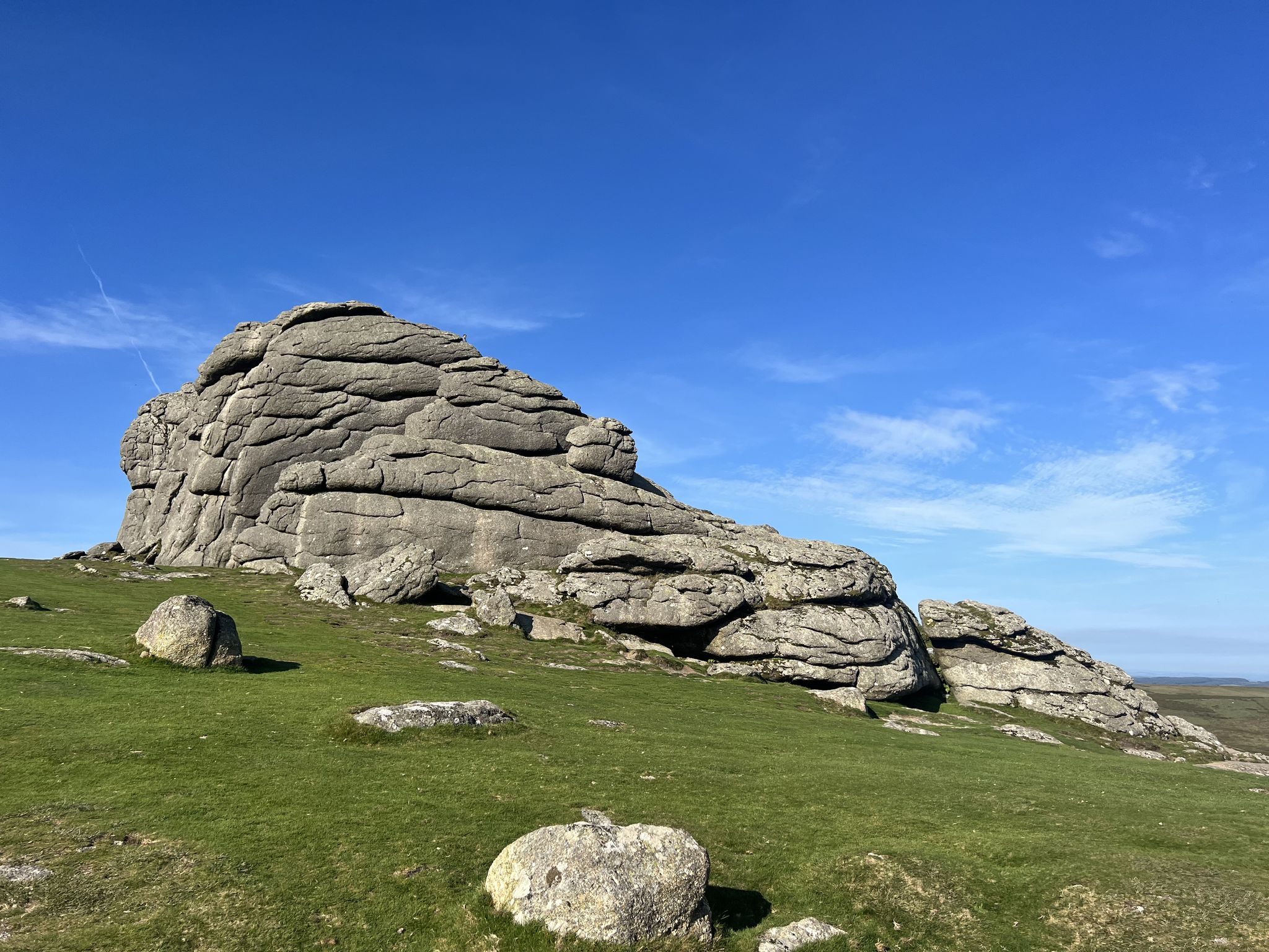
Dartmoor National Park – A Walk in the Parks

Celtic Way — An epic pilgrimage through prehistory and wild beauty

Two Moors Way — Wild coast-to-coast over Dartmoor and Exmoor
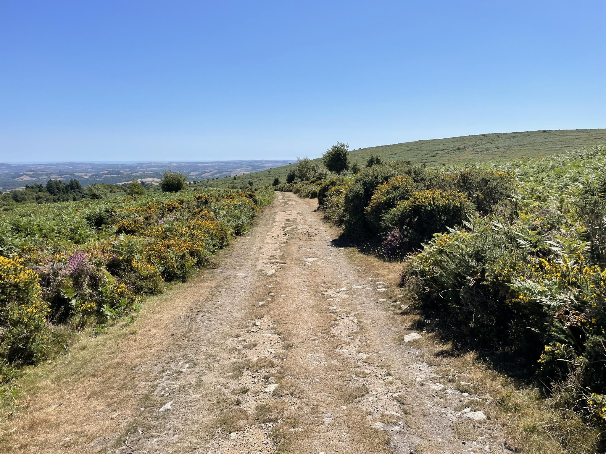
Accessible adventures for all – Dartmoor Miles Without Stiles
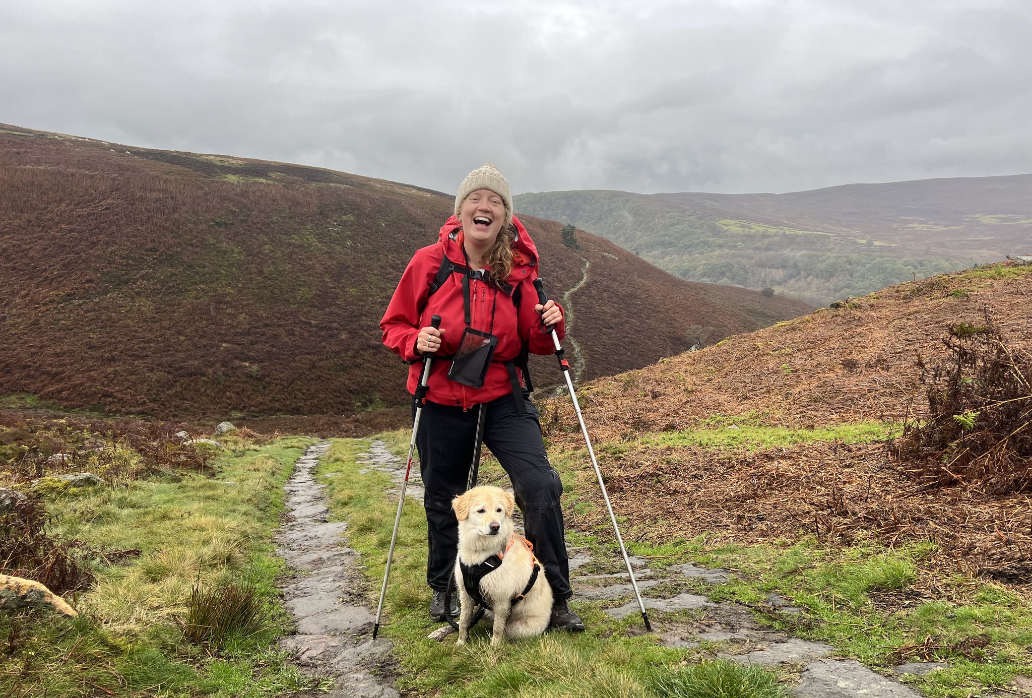
A Walk in the Parks – hikes across all of England’s national parks

Wonderful wild swimming walks in Devon's national parks

Magical wild swim spots to discover on foot

Solitude, hikes and starry skies — wild camping in Dartmoor National Park
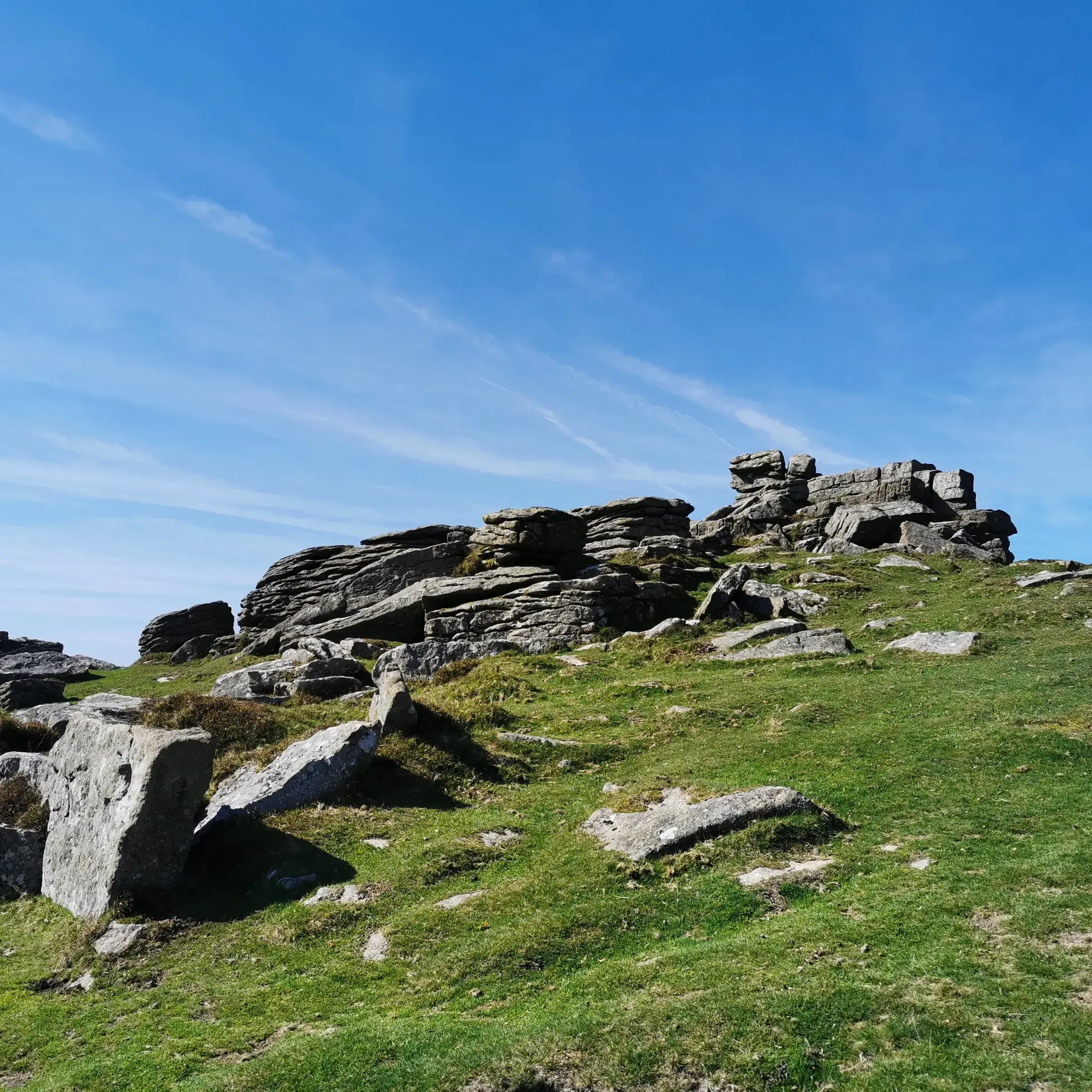
Sweeping views and granite tors — Dartmoor National Park
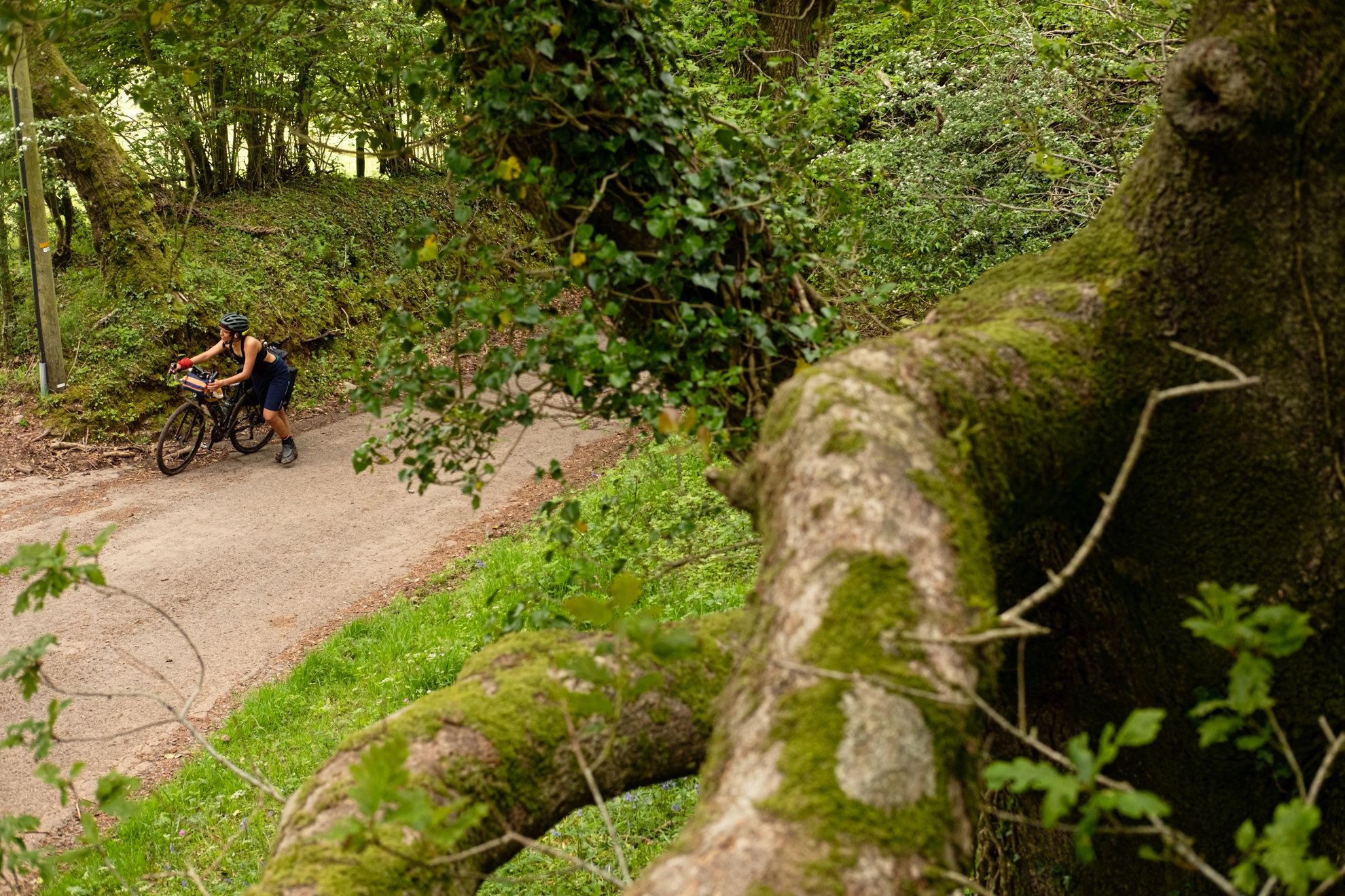
Just Around The Corner — exploring the best of the South West by bike
Other adventures in Dartmoor


Tips from the Community

Simple stone bridge, fits well with the rest!
0
0

Hunters Tor on Dartmoor – overview and practical guide Notes on the feature Name variants: Hunters Tor (also found in some guides as “Hunters’ Tor” or “Hunters Tor” with occasional apostrophe usage). It is one of the granite tors you’ll encounter on the eastern Dartmoor plateau. Location context: Situated on the eastern Dartmoor moor, in the general area between Widecombe-in-the-Moor and the higher moorland to the north and east. It’s often visited as part of longer routes from classic eastern Dartmoor starting points. What to expect Elevation and geology: A granite tor typical of Dartmoor—weathered outcrops with rough boulder features and exposed granite. Provides a vantage point to survey surrounding moorland. Scenery: Wide moorland views with horizon lines; potential for good visibility across East Dartmoor on clear days. Getting there Access points: Likely starting points include car parks and laybys near the eastern moor, with access from roads serving Widecombe-in-the-Moor, Ashburton, or Two Bridges. Public transport: Buses to nearby villages with a short walk onto the moor; check current timetables. Parking: Local parking areas around the eastern moorland; follow local signage and
0
0
Sharp Tor on Dartmoor – overview and tips Notes on the name Sharp Tor is a well-known tor on Dartmoor, sometimes spelled “Sharp Tor” or “Sharp’s Tor” in regional references. It is one of the classic granite tors that dot the eastern moor. Location context: Sharp Tor sits in the eastern part of Dartmoor National Park, behind or near the villages of Widecombe-in-the-Moor and intersecting with other moorland features such as Haytor and Hound Tor in the wider area. What to expect Elevation and geology: Granite tor forming a rocky outcrop that offers elevated views over the surrounding moor. Typical Dartmoor granite features, weathered by wind and rain into distinctive boulders and crags. Scenery: Expansive moorland around, open horizons, and, on clear days, distant views toward the coast. Getting there Access points: - Likely starting points include nearby car parks on the eastern Dartmoor plateau and routes from towns like Ashburton or Widecombe-in-the-Moor. Public transport: Bus routes to nearby villages with a short walk onto the moor. Parking: Depending on the exact access point, there are local parking areas; check current signage and National Trust/ Dartmoor NPA guidance. Popular routes and what to expect Short circulars: There are moorland circuits that incorporate Sharp Tor as a highlight, often around 2–4 miles (3–6 km) depending on the exact start point. Longer explorations: Combine Sharp Tor with adjacent tors such as Hound Tor, Widecombe area, or more northern tors for a full moorland day. Expect rolling moorland
0
0

West Mill Tor 542.7m P20.3 (1780ft) (DoBIH Hill ID: 19861) [JNSA s2045] Dartmoor National Park Definitive List summit.
0
0

I did this walk in November and there were long sections of the path water logged and boulder strewn, the 3 river crossings on stepping stones were hazardous but passable. Do not undertake unless sure footed and with waterproof boots in wet seasons. A couple just in front of us were waiting for mountain rescue as she had slipped on one set of stepping stones and couldn’t walk
0
0

Frequently Asked Questions
Are there any easy, family-friendly walks in Dartmoor?
Yes, Dartmoor has many options for families. The terrain around the reservoirs, like Burrator and Fernworthy, offers gentle and picturesque walks. For a walk with a unique feature, the Lydford Castle & Whitelady Waterfall loop is a relatively short trail through a gorge that is popular with families.
Can I bring my dog on hikes in Dartmoor?
Dogs are welcome in most of Dartmoor, but they must be kept under close control at all times. Between March 1st and July 31st, it is a legal requirement to keep your dog on a lead on all open moorland to protect ground-nesting birds. Also, be aware of livestock grazing in many areas throughout the year.
What's a good option for a challenging hike in Dartmoor?
For a more strenuous day out, consider a hike to the highest points in southern England. The Yes Tor & High Willhays loop from Meldon Reservoir is a demanding route that rewards hikers with panoramic views across the rugged landscape. This area can be exposed, so be prepared for changing weather.
Are there any good circular walks that include a pub stop?
Many circular walks in Dartmoor are designed to start and end in or near villages with traditional pubs. The Dartmeet & Laughter Tor loop is a great example, starting from a popular beauty spot with facilities nearby, allowing you to enjoy a rewarding hike before relaxing.
Where can I find hikes that feature ancient ruins or historical sites?
Dartmoor is rich in prehistoric and industrial history. You can explore ancient stone circles, standing stones, and the atmospheric ruins of former quarries. The Holwell Tor & Smallacombe Rocks loop takes you through an area scattered with the remnants of a medieval village and other historic features, offering a walk through time.
How can I get to trailheads in Dartmoor using public transport?
While many areas are remote, some trailheads are accessible by public transport. Towns on the edge of the moor, like Okehampton and Tavistock, have bus services that can get you closer to the trails. For example, Princetown, a popular starting point for many walks, is served by buses from nearby cities. It's best to plan your route in advance and check the latest bus timetables.
What should I pack for a day hike in Dartmoor?
The weather on Dartmoor can change very quickly. For any hike, you should carry:
- Waterproof jacket and trousers
- Warm layers, like a fleece
- Sturdy, waterproof hiking boots
- A map and compass (and know how to use them), as phone signal can be unreliable
- Plenty of food and water
- A fully charged phone for emergencies
What do other hikers enjoy about Dartmoor?
The region is highly rated by the komoot community, with an average score of 4.6 stars. Hikers often praise the sense of wildness and solitude found on the open moorland, the dramatic beauty of the granite tors, and the contrast provided by the sheltered, ancient woodlands and river valleys.
Is wild camping allowed while hiking in Dartmoor?
Following a court ruling in 2023, landowner permission is now required for all wild camping on Dartmoor. Some areas have been designated where camping is permitted, but you should always check the Dartmoor National Park Authority's official website for the most current rules and maps before planning an overnight trip.
What are some popular places to start a walk in Dartmoor National Park?
Many hikers start their adventures from well-known spots. Wistman's Wood is a highly regarded starting point for those wanting to experience the mystical, moss-covered oak woodland. For a mix of forest and open moorland, Bellever Forest is another popular choice, offering numerous paths along the East Dart River.
How many hiking trails are available in Dartmoor?
There are nearly 1,500 hiking routes in Dartmoor documented on komoot, covering a wide range of difficulties. About half are rated as moderate, with a large number of easy routes and over 100 difficult trails for experienced hikers.
Most popular routes in Dartmoor
Most popular attractions in Dartmoor

Get inspired with the komoot mobile app


Explore more
Browse the best Hikes in other regions.
