The best road cycling routes around Regional Park Boschi di Carrega
4.6
(309)
11,557
riders
205
rides
Road cycling routes around Regional Park Boschi di Carrega traverse a landscape characterized by rolling hills, dense woodlands, and open countryside. The park, located near Parma, offers a mix of paved roads and dedicated cycle paths suitable for road bikes. Elevations are generally moderate, with some routes featuring gradual climbs and descents. The terrain provides varied experiences for road cyclists, from leisurely rides through forested areas to more challenging routes with panoramic views.
Best road cycling routes around Regional Park Boschi di Carrega
- The most popular road cycling route is Boschi di Carrega Cycle Path, an 11.6 miles (18.7 km) trail that takes 58 minutes to complete. This easy route offers a pleasant ride through the park's wooded areas.
- Another top favourite among local road cyclists is View of Torrechiara Castle loop from Sala Baganza, a moderate 26.4 miles (42.5 km) path. This route includes a mix of open roads and views of historical landmarks.
- Local road cyclists also love the View of Torrechiara Castle – View of the Barbiano Ridge loop from Sala Baganza, a 32.1 miles (51.7 km) trail leading through varied terrain with views of the Barbiano Ridge, often completed in about 2 hours 33 minutes.
- Road cycling around Regional Park Boschi di Carrega is defined by woodlands, rolling hills, and scenic countryside roads. The network offers options for different ability levels, from easy cycle paths to more challenging routes with significant elevation gain.
- The routes in Regional Park Boschi di Carrega are highly rated by the komoot community with an average score of 4.5 stars from over 240 reviews. More than 9,600 road cyclists have used komoot to explore Regional Park Boschi di Carrega's varied terrain.
Last updated: July 5, 2026
2
riders
18.7km
00:58
230m
230m
This easy 11.6 miles (18.7 km) road cycling route in Boschi di Carrega offers scenic forests, historical landmarks, and lakes.
4.8
(16)
420
riders
90.4km
04:11
1,120m
1,120m
Hard road ride. Very good fitness required. Mostly well-paved surfaces and easy to ride.

Sign up for free
4.9
(7)
272
riders
134km
06:43
2,140m
2,140m
Hard road ride. Very good fitness required. Some segments of this route may be unpaved and difficult to ride.
4.5
(22)
279
riders
81.5km
03:56
1,160m
1,160m
Hard road ride. Very good fitness required. Mostly well-paved surfaces and easy to ride.
170
riders
52.0km
02:34
470m
470m
Moderate road ride. Good fitness required. Mostly well-paved surfaces and easy to ride.
Get access to more routes and recommendations from other explorers.
Sign up for free
Already have an account?
Our route recommendations are based on thousands of hikes, rides, and runs completed by other people on komoot.
Start today with a free account
Your next adventure awaits.
Login or Signup
Tips from the Community

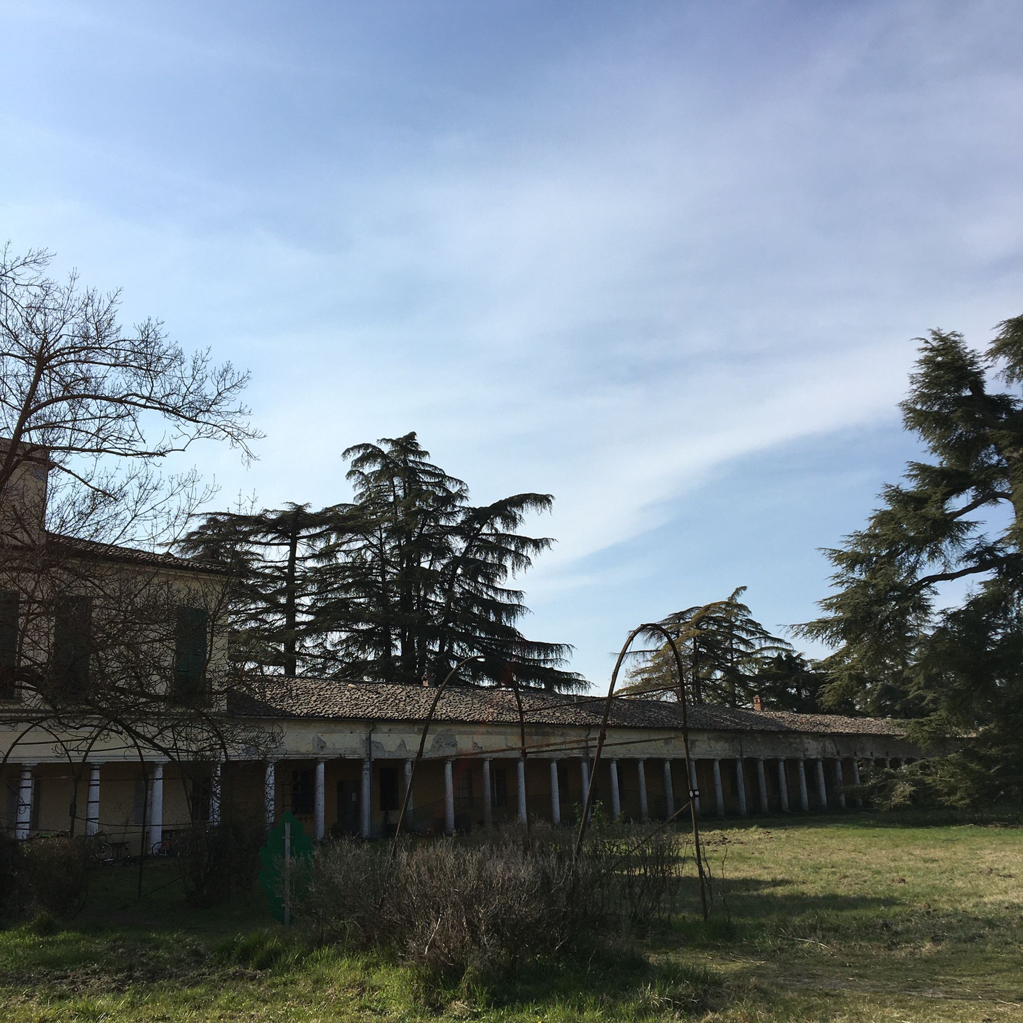
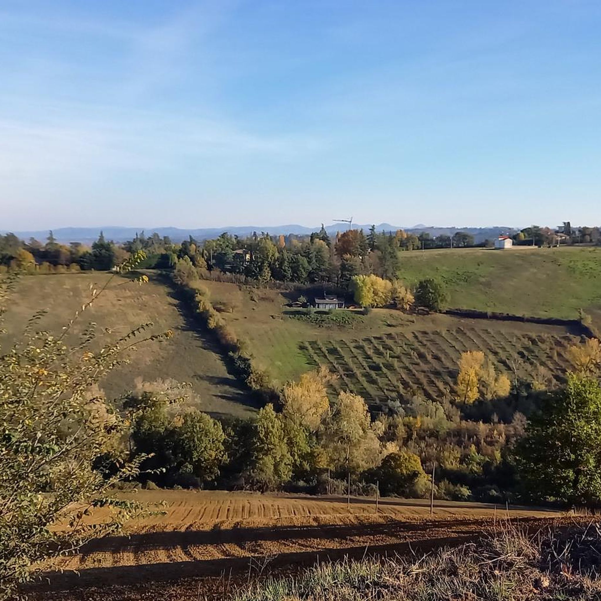
The Val Baganza viewpoint is located on the hills of Barbiano, in the municipality of Felino (PR), precisely at Via Ricò, 19. This position is considered one of the best panoramic terraces in the province of Parma. In addition to this specific point, the Val Baganza offers other exceptional natural and historical viewpoints: Barbiano Viewpoint (Felino): Located on Via Ricò. It offers a clear and open view of the hills and the stream. Monte Bastia and Torre del Boriano (San Vitale Baganza): An easy hiking trail of about an hour starting from Ponticella di San Vitale. Salti del Diavolo Viewpoint (Chiastre di Calestano): Along the CAI 771 trail leading to the famous rock formations. Alta Val Baganza Ridge (Passo della Cisa / Berceto): For high-altitude trekking lovers, the trails connecting Poggio di Berceto to Monte Fontanini offer spectacular 360-degree views that unite Val Baganza with the nearby Val Parma.
0
0

The Castle of Torrechiara is one of the best-preserved castles in Italy, located in the municipality of Langhirano, about 18 km south of Parma. Built between 1448 and 1460 at the behest of Count Pier Maria II de' Rossi, it harmoniously combines the functions of a powerful defensive fortification and an elegant Renaissance noble residence.
0
0
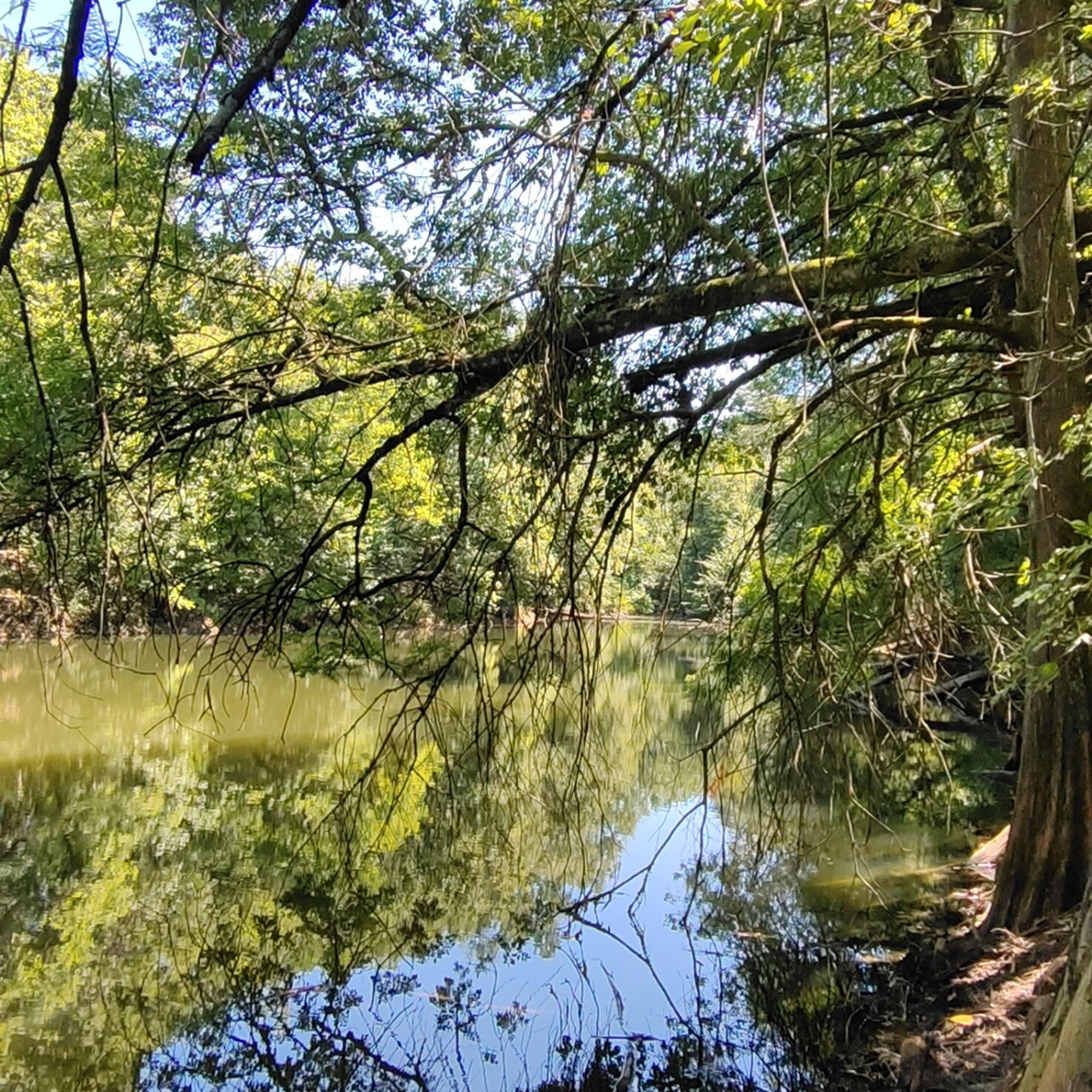
The Boschi di Carrega Regional Nature Park was established in 1982 as the first regional park in Emilia-Romagna. It is located in the province of Parma, extending for about 1270 hectares on the river terraces between the Taro river and the Baganza stream, in the municipal territories of Collecchio, Sala Baganza and Fornovo di Taro. This green lung protects a hilly area of immense naturalistic, historical and cultural value, famous for its ducal atmospheres and elegant landscapes.
0
0
The Boschi di Carrega Regional Natural Park was established in 1982 as the first regional park of Emilia-Romagna. It is located in the province of Parma, extending for about 1270 hectares on the river terraces between the Taro river and the Baganza stream, in the municipal territories of Collecchio, Sala Baganza and Fornovo di Taro. This green lung protects a hilly area of immense naturalistic, historical and cultural value, famous for its ducal atmospheres and elegant landscapes.
0
0
Val Baganza is a valley in the Parma Apennines carved by the Baganza stream, which extends for about 50 kilometers from its source on Mount Borgognone to its confluence with the Parma stream. It is a territory rich in history, medieval villages, unspoiled nature, and food and wine excellences. The Devil's Jumps: Spectacular narrow and elongated rock formations that cut across the valley, ideal for hiking
1
0
Berceto is an ancient and charming Apennine village located at 852 meters above sea level in the province of Parma, in the heart of Emilia-Romagna. It has just under 2,000 inhabitants and is historically renowned for being the last stage of the Via Francigena in the Emilian territory before the Cisa Pass, which leads towards Tuscany.
0
0
The Passo della Cisa is a mountain pass in the Tuscan-Emilian Apennines, located at 1,041 meters above sea level, which serves as the geographical and historical border between the provinces of Parma (Emilia-Romagna) and Massa-Carrara (Tuscany). It formally separates the Ligurian Apennines from the Tuscan-Emilian Apennines, connecting the upper Val di Taro with Lunigiana. Strada Statale 62: The SS 62 della Cisa is the historic panoramic road that crosses the pass, famous among motorcyclists and cyclists for its hairpin bends and evocative views. Slopes: The Tuscan side from Pontremoli is 18 km long with slopes up to 8.5%, while the Emilian side from Ghiare di Berceto measures approximately 19.6 km with slopes up to 8%.
0
0

IN springDefinitely worth a visit
0
0
Frequently Asked Questions
How many road cycling routes are available in Regional Park Boschi di Carrega?
There are over 190 road cycling routes in Regional Park Boschi di Carrega, offering a wide range of options for different skill levels and preferences.
Are there easy road cycling routes suitable for beginners or families?
Yes, the park offers several easy routes perfect for beginners or family outings. A great option is the Boschi di Carrega Cycle Path, an 11.6-mile (18.7 km) trail that provides a pleasant ride through the park's wooded areas with minimal elevation gain.
What kind of challenging road cycling routes can I find in the area?
For experienced road cyclists seeking a challenge, the region offers routes with significant elevation gain. Consider the Fountain Dedicated to Mothers – Public Fountain in Lagrimone loop from Collecchio, a difficult 80.8-mile (130.1 km) route with over 8,700 feet (2,600 m) of climbing, or the Panoramic view on the Baganza valley – Calestano water fountain loop from Collecchio, a 57.1-mile (91.9 km) route with over 3,500 feet (1,000 m) of ascent.
Are there any circular road cycling routes in Regional Park Boschi di Carrega?
Many routes in the park are designed as loops, allowing you to start and end at the same point. Popular circular options include the moderate View of Torrechiara Castle loop from Sala Baganza and the View of Torrechiara Castle – View of the Barbiano Ridge loop from Sala Baganza, both offering scenic rides through varied terrain.
What are the best times of year to go road cycling in Regional Park Boschi di Carrega?
Spring and autumn are generally the best seasons for road cycling in Regional Park Boschi di Carrega. The weather is mild, and the natural scenery is particularly vibrant, with blooming flowers in spring and colorful foliage in autumn. Summer can also be enjoyable, especially in the mornings or late afternoons to avoid the midday heat.
What can I see along the road cycling routes in the park?
Road cycling routes in the park often pass by interesting sights. You can explore the Vineyards in the Carrega Woods, discover the historic Casino dei Boschi di Carrega, or enjoy the tranquility of the Lake of Switzerland. Many routes also offer panoramic views of the surrounding countryside and historical landmarks like Torrechiara Castle.
Are there places to stop for refreshments or cafes near the road cycling trails?
While specific cafes directly on every trail might be limited, the towns and villages surrounding Regional Park Boschi di Carrega, such as Sala Baganza and Collecchio, offer various options for refreshments, including cafes, restaurants, and local shops where you can refuel during or after your ride.
Where can I park my car when visiting Regional Park Boschi di Carrega for road cycling?
Parking is generally available at the main entrances to Regional Park Boschi di Carrega and in the nearby towns like Sala Baganza and Collecchio. Look for designated parking areas, especially near trailheads or visitor centers, to ensure convenient access to the road cycling routes.
What do other road cyclists enjoy most about road cycling in Regional Park Boschi di Carrega?
The area is highly rated by the komoot community, with an average score of 4.5 stars from over 240 reviews. Reviewers often praise the diverse terrain, from quiet wooded paths to scenic countryside roads, and the opportunity to combine cycling with views of historical landmarks and natural beauty.
Are there less crowded road cycling routes available?
While popular routes can see more activity, the extensive network of over 190 routes means you can often find quieter roads, especially on weekdays or by exploring some of the less-trafficked paths that venture deeper into the park's woodlands and rolling hills. Routes that are longer or more challenging tend to be less crowded.
Can I spot wildlife while road cycling in Regional Park Boschi di Carrega?
Yes, Regional Park Boschi di Carrega is known for its diverse flora and fauna. While road cycling, especially on quieter routes through wooded areas, you might have the chance to spot various bird species, deer, or other local wildlife. Early mornings or late afternoons are often the best times for wildlife observation.
Most popular routes around Regional Park Boschi di Carrega
Most popular attractions around Regional Park Boschi di Carrega

Get inspired with the komoot mobile app


Explore more
Browse the best Road cycling routes in other regions.
