The best cycling routes around Ottersweier
4.8
(95)
824
riders
62
rides
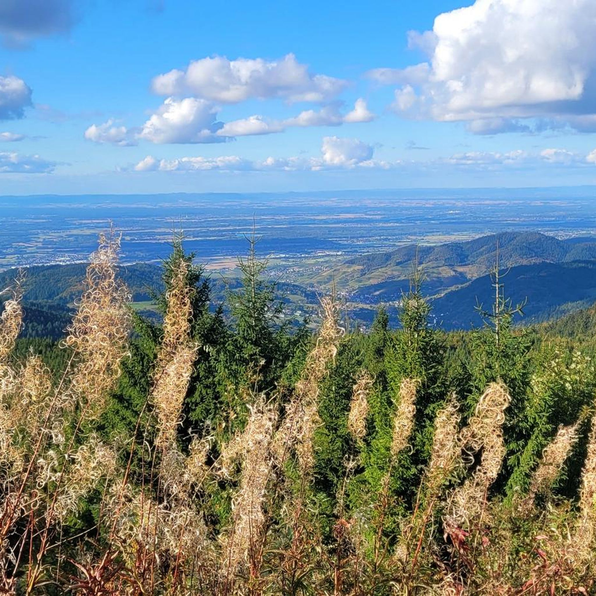
Touring cycling routes around Ottersweier are situated at the edge of the Northern Black Forest in the Upper Rhine Valley. The region features diverse landscapes, including rolling countryside, green fields, and patches of woodland, with elevations ranging from 137 to 1035 meters above sea level. The Black Forest foothills provide a picturesque backdrop, while the River Ems adds a tranquil element to the terrain. This area offers a well-developed network of routes for touring cyclists.
Best touring cycling routes around…
Last updated: July 9, 2026
4.4
(26)
129
riders
46.3km
02:39
110m
110m
Moderate bike ride. Good fitness required. Mostly paved surfaces. Suitable for all skill levels.
5.0
(3)
63
riders
7.02km
00:24
20m
20m
Easy bike ride. Great for any fitness level. Mostly paved surfaces. Suitable for all skill levels.

Sign up for free
5.0
(7)
31
riders
49.7km
03:10
330m
330m
Hard bike ride. Good fitness required. You may need to push your bike for some segments of this route.
4.8
(9)
43
riders
48.4km
02:48
90m
90m
Moderate bike ride. Good fitness required. Mostly paved surfaces. Suitable for all skill levels.
4.5
(4)
56
riders
Easy bike ride. Great for any fitness level. Mostly paved surfaces. Suitable for all skill levels.
Get access to more routes and recommendations from other explorers.
Sign up for free
Already have an account?
Our route recommendations are based on thousands of hikes, rides, and runs completed by other people on komoot.
Start today with a free account
Your next adventure awaits.
Login or Signup


Other adventures around Ottersweier

Tips from the Community

Ideal bike connection through the southern part of BAD, very low traffic and green.
1
0

Parish Church of St. John The Ottersweier parish is one of the oldest in Middle Baden and was first documented over 1200 years ago. Several church buildings have been proven to exist at this site. During the construction of the large neo-Gothic church (1906-1909), care was taken to preserve important parts of the medieval predecessor churches. On the south tower, parts of the Romanesque choir tower (around 1200) can be clearly recognized. The late Gothic choir (1517) became the current entrance hall. Together with the arcade passage to the rectory on the east side, the complex forms a unified overall work of art. Further information can be found on the information stand in the church. On the square in front of the church, a memorial column (1910) with a statue of the blessed Margrave Bernhard von Baden commemorates the fallen of the war of 1870/71.
2
0
The historic fire station in Sasbach (Ortenau district) is a cultural monument from 1896, built according to the plans of the Achern architect Schnurr in the clinker style. It is designed as a single-story building with a central projection and an open belfry.
0
0
The Acher is an approximately 54 km long tributary of the Rhine
0
0
Built in 1909 with a load capacity of 10 t. In 1955, the bridge was rebuilt with a load capacity of 12 t. In 2018, the bridge was rebuilt again with a load capacity of 90 t.
0
0

The Kanalbach carries the water of the Achern Mill Stream, crosses the Scheidgraben ditch on a concrete bridge, and flows into the Sulzbach. When the wooden weir on the bridge is opened, the water plunges into the lower-lying Scheidgraben. The Achern Mill Stream carries the water of the Acher River, which is diverted southeast of Oberachern – near the large fish ladder.
1
0
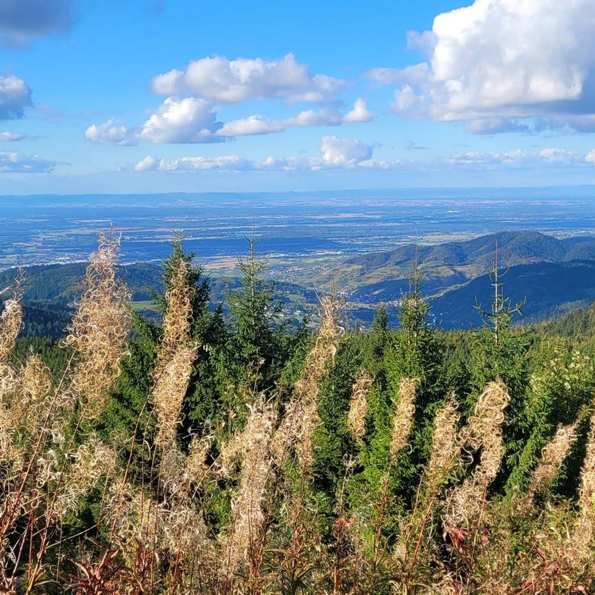
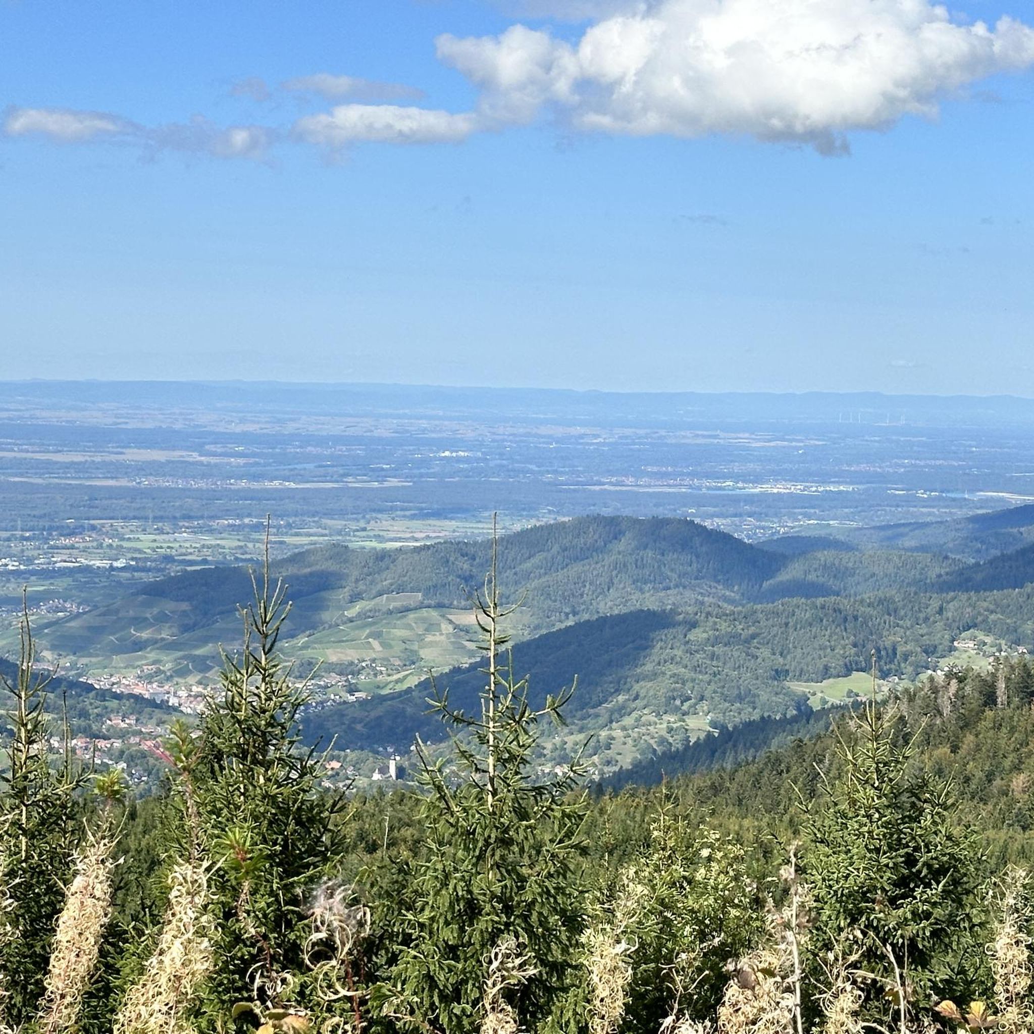
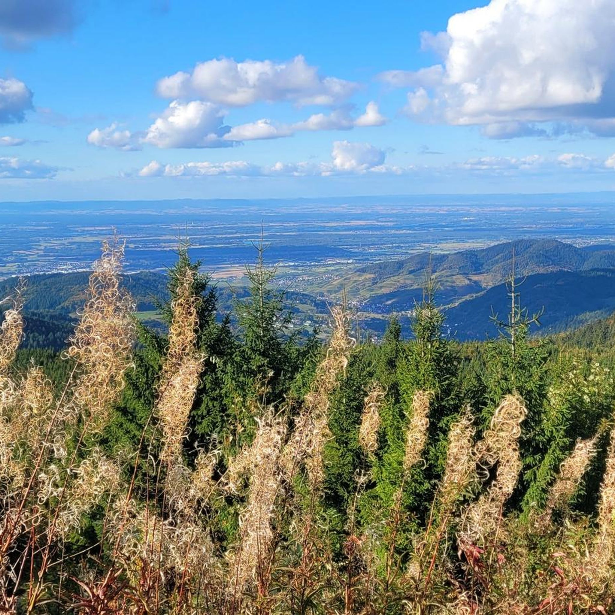
A beautiful path along the edge of the forest with a consistent gradient, rest areas and views into the valley.
0
0

Clock is the best I
3
0
Frequently Asked Questions
How many touring cycling routes are available around Ottersweier?
Ottersweier offers a wide selection of touring cycling routes, with over 50 options available. These routes cater to various fitness levels, including 34 easy, 13 moderate, and 11 difficult trails.
What kind of landscapes can I expect to see while touring cycling in Ottersweier?
The region around Ottersweier provides diverse and picturesque landscapes. You'll cycle through the rolling countryside, green fields, and patches of woodland, often with fruit trees and meadows. The Black Forest foothills provide a constant scenic backdrop, and the tranquil River Ems adds to the serene environment.
Are there touring cycling routes suitable for beginners or families in Ottersweier?
Yes, Ottersweier is well-suited for beginners and families, offering 34 easy touring cycling routes. Many of these paths are mostly paved and wind through rural German scenery, providing a relaxed ambiance away from busy traffic. An excellent option is the Historic Fire Station Sasbach – Julia's Home Sweet Café loop from Ottersweier, an easy 5.4-mile (8.7 km) path.
Can I find challenging touring cycling routes in the Ottersweier region?
For more experienced touring cyclists, there are 11 difficult routes available in the Ottersweier region. These routes often feature greater elevation gains and longer distances, providing a more demanding ride through the diverse terrain. An example of a challenging route is the Zeller Mill – Trinkhalle Baden-Baden loop from Unzhurst, which covers nearly 50 km with significant elevation.
Are there any circular touring cycling routes around Ottersweier?
Yes, many touring cycling routes in Ottersweier are designed as loops, allowing you to start and end at the same point. Popular circular routes include the moderate Rössel Bridge over the Acher – Erlenbad Convent loop from Ottersweier, which often follows forest, field, and meadow paths, and the easy Main Street, Bühl – Bühl Old Town Hall loop from Ottersweier.
What natural attractions can I explore along the touring cycling routes near Ottersweier?
While cycling, you can discover several natural highlights. The Seibelseckle Rest Hut offers a pleasant stop, and the nearby Gaishöll Waterfalls provide a wild and romantic experience with paths winding through a gorge. The Hochberg Hill, at approximately 350 meters, offers breathtaking vistas, especially during sunrise or sunset. For panoramic views, consider visiting the Bismarck Tower on Hornisgrinde.
Are there historical landmarks or castles to visit while cycling in Ottersweier?
Yes, the region boasts several historical sites. You can explore the remnants of the Windeck Castle, which provides sweeping views. Other notable castles in the vicinity include Yburg Castle and Brigittenschloss (Hohenrode Castle) Ruins. Additionally, the 14th-century St. Mary's Church in Ottersweier offers beautiful views from its spire.
What do other touring cyclists enjoy the most about touring cycling in Ottersweier?
The touring cycling routes around Ottersweier are highly rated by the komoot community, with an average score of 4.6 stars from over 80 reviews. Cyclists often praise the diverse landscapes, including the Black Forest foothills and Rhine Valley, and the well-developed network of routes that cater to all ability levels. The tranquil, rural setting with green fields and woodlands is frequently highlighted as a key enjoyable aspect.
Are there options for mountain biking in the Ottersweier region?
While this guide focuses on touring cycling, the broader region around Ottersweier, particularly towards Hornisgrinde, offers opportunities for mountain biking. You can find forest trails and routes with significant elevation gain for a more adventurous off-road experience.
Can I find places to eat or shop for local products along the touring cycling routes?
Yes, Ottersweier is known as a 'farm shop centre,' offering a unique 'Hofladentour' (farm shop tour) for those interested in local products. Many routes pass through rural areas where you might find cafes or farm shops to refuel and experience local culinary delights.
What is the best time of year for touring cycling in Ottersweier?
The region is enjoyable for touring cycling throughout much of the year. Spring and autumn offer pleasant temperatures and beautiful scenery with blooming fruit trees or vibrant fall foliage. Summer is also popular, with routes like 'Through blooming Rhine lowlands' highlighting the seasonal beauty. Always check local weather conditions before heading out.
Is there public transport access to the touring cycling routes in Ottersweier?
The region around Ottersweier is generally well-connected, and local public transport options may provide access to various starting points for touring cycling routes. It's advisable to check local bus or train schedules for specific routes and their proximity to cycling trailheads.
Most popular routes around Ottersweier
Most popular attractions around Ottersweier

Get inspired with the komoot mobile app


Explore more
Browse the best Cycling routes in other regions.
