The best gravel rides around Ottersweier
4.6
(118)
769
riders
141
rides
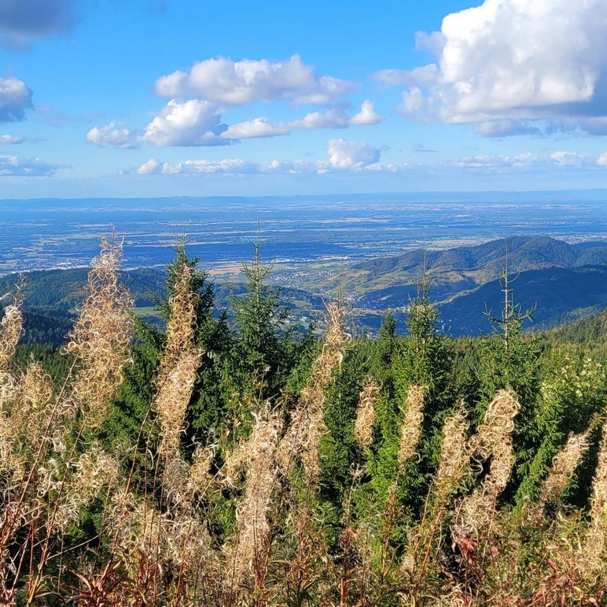
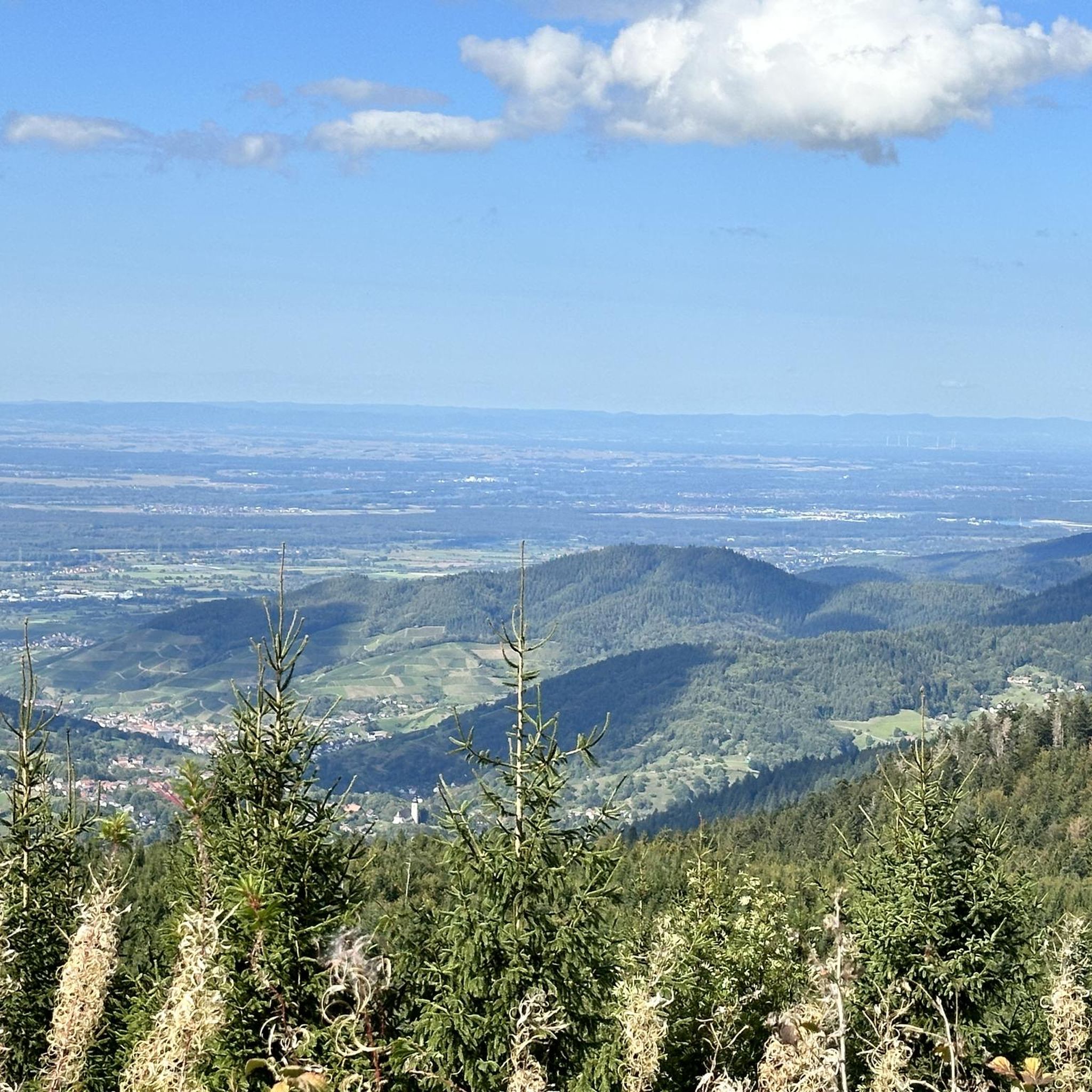
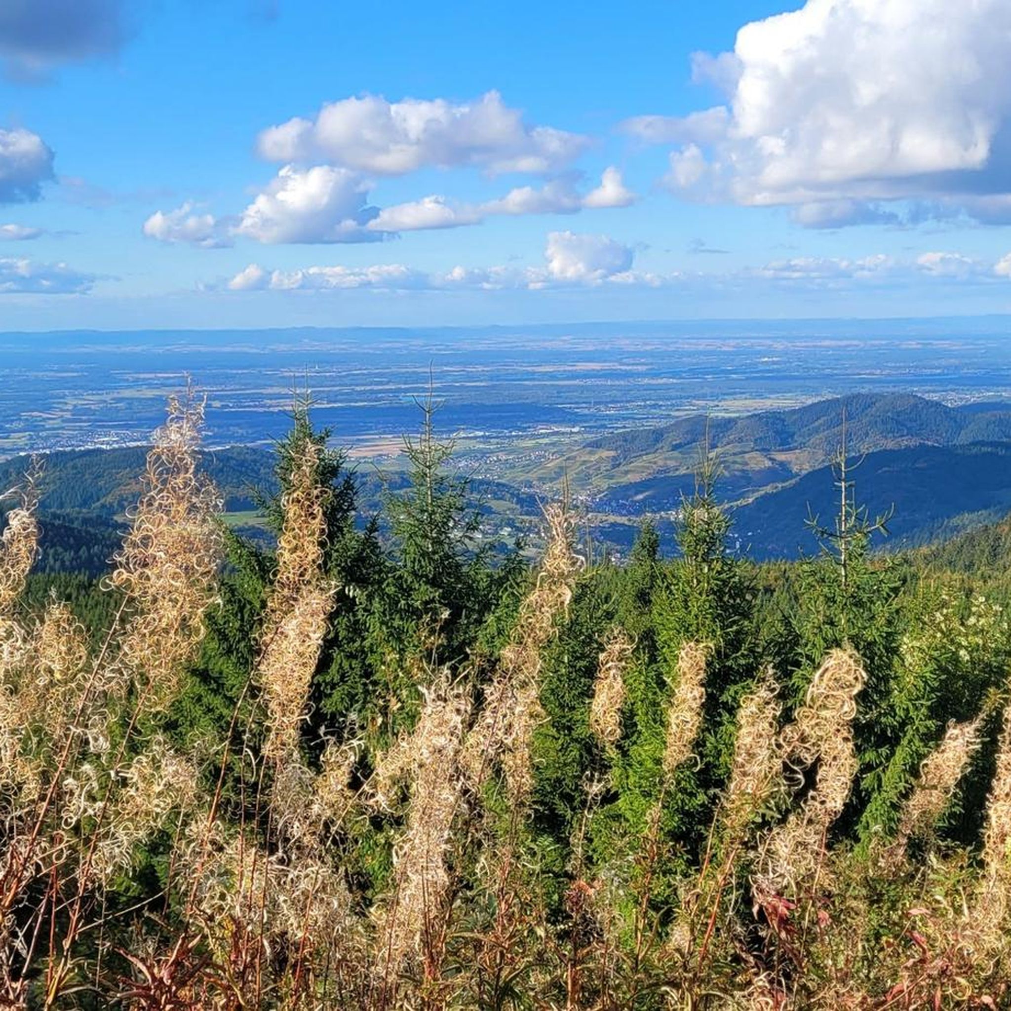
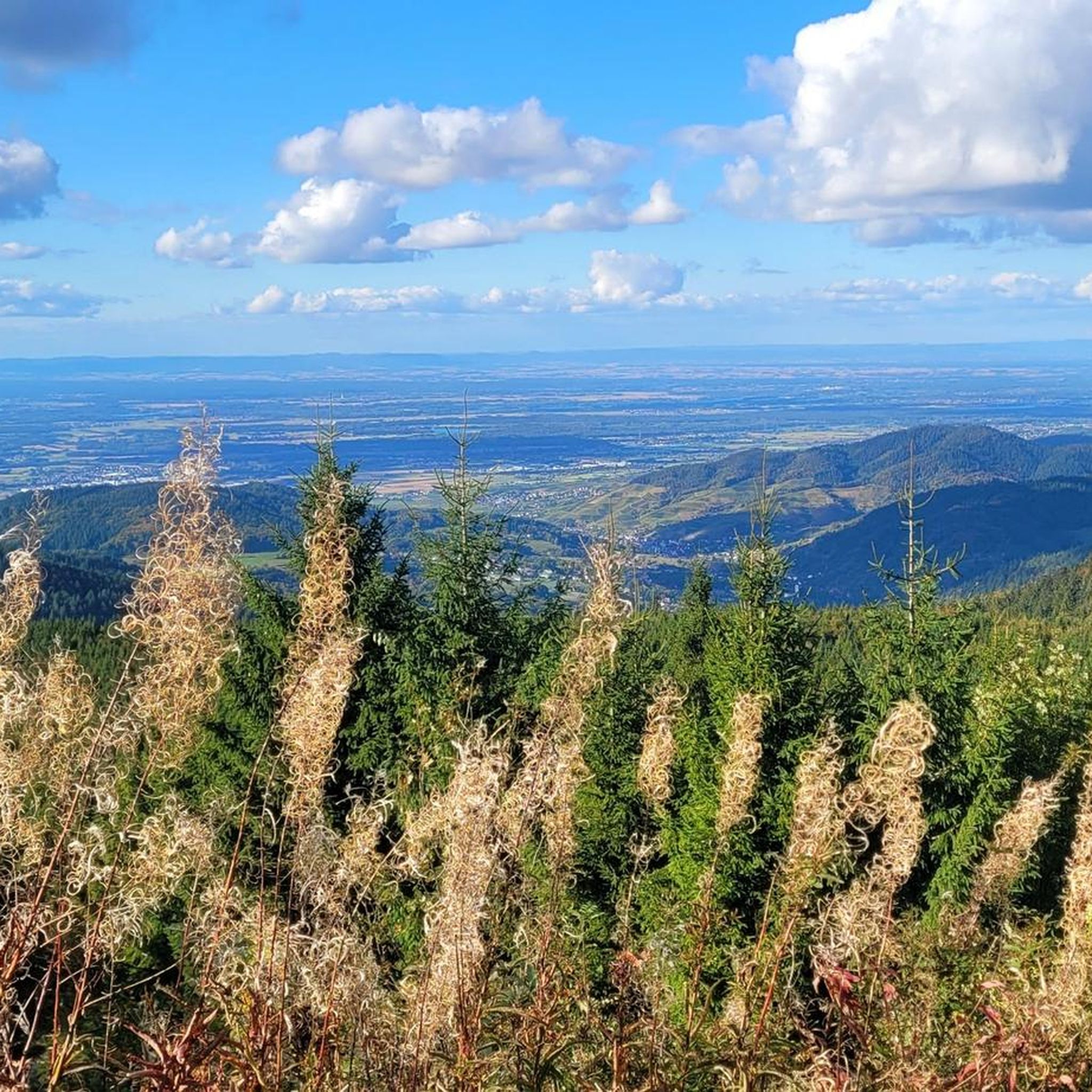
Gravel biking around Ottersweier offers diverse terrain at the edge of the Northern Black Forest, situated within the Upper Rhine Plain. The region features a mix of verdant surroundings, including fruit trees, meadows, and fields, with the Black Forest prominently in view. Elevations range from 137 to over 1000 meters above sea level, providing varied landscapes for gravel cyclists. The Ottersweier Forest and the River Ems contribute to the area's natural features, offering both wooded and riverside routes.
Best gravel…
Last updated: July 3, 2026
4.0
(1)
15
riders
26.2km
01:44
450m
450m
Hard gravel ride. Very good fitness required. Mostly paved surfaces. Suitable for all skill levels.
22
riders
44.1km
03:23
1,090m
1,090m
Hard gravel ride. Very good fitness required. You may need to push your bike for some segments of this route.

Sign up for free
14
riders
65.0km
03:57
100m
100m
Moderate gravel ride. Good fitness required. Mostly paved surfaces. Suitable for all skill levels.
3.0
(1)
6
riders
29.8km
02:18
570m
570m
Hard gravel ride. Very good fitness required. Mostly paved surfaces. Suitable for all skill levels.
4.8
(4)
18
riders
47.8km
02:27
70m
70m
Moderate gravel ride. Good fitness required. Mostly paved surfaces. Suitable for all skill levels.
Get access to more routes and recommendations from other explorers.
Sign up for free
Already have an account?
Our route recommendations are based on thousands of hikes, rides, and runs completed by other people on komoot.
Start today with a free account
Your next adventure awaits.
Login or Signup

Other adventures around Ottersweier

Tips from the Community

The church in Unzhurst, St. Cyriak Kirche Unzhurst, has a long, typically Southwest German village church history: At its core, it dates back to the Middle Ages. As early as 1508, a first place of worship is documented in Unzhurst, but it is likely that a chapel already stood on this site before then. The church was dedicated to Saint Cyriakus, indicating an early ecclesiastical tradition. Over the centuries, the building was rebuilt and expanded several times, either because it became too small or because it fell into disrepair. Especially in the 19th century, the old church was so dilapidated that it had to be replaced by a new building. This essentially shapes its present-day appearance. Since then, the church has been repeatedly renovated and maintained, but its function has remained constant: To this day, it is the religious center of the Unzhurst district within the municipality of Ottersweier.
0
0

Great beer garden! Perfect for a stopover on a bike ride. They offer a changing menu, including burgers, and home-brewed beer.
0
0

Reservoir, unfortunately without bathing permit
0
0

Once you reach the top, you'll be rewarded with a fantastic view. The descent is also a lot of fun. A stop at Lake Mummelsee is also worthwhile before speeding down.
0
0

Flood protection can be found in various places here.
0
0

Breathtaking views. Always worth a visit.
0
0

A lovely beer garden with home-brewed beers and a small menu. Information about the menu and opening hours can be found here: https://www.maiwald12.de/.
1
0

Gentle climb on beautiful fine gravel.
0
0
Frequently Asked Questions
How many gravel bike trails are available around Ottersweier?
Ottersweier offers a wide selection of nearly 200 gravel bike trails. These routes cater to various skill levels, with 29 easy, 91 moderate, and 72 difficult options, ensuring there's a suitable ride for everyone.
What kind of terrain and difficulty can I expect on gravel bike trails in Ottersweier?
You can expect a diverse range of terrain, from the flat, verdant landscapes of the Upper Rhine Plain with its fruit trees and meadows, to the rolling hills and challenging climbs of the Black Forest foothills. Elevations vary significantly, from 137 meters up to over 1000 meters above sea level. Routes range from easy riverside paths along the River Ems to difficult ascents like the one found on the Hornisgrinde Tower – View from the Hornisgrinde summit loop from Bühl (Baden).
Are there family-friendly or beginner gravel bike routes in Ottersweier?
Yes, Ottersweier offers 29 easy gravel bike routes, many of which traverse the flatter sections of the Upper Rhine Plain or follow the peaceful River Ems. These routes are generally suitable for beginners or families looking for a less strenuous ride. The WaldErlebnisStation also provides a family-friendly outdoor area.
What natural features or landmarks can I see along the gravel bike trails?
The trails offer views of the Black Forest, the Ottersweier Forest, and the River Ems. You can also encounter significant natural features like the Edelfrauengrab Waterfalls, a wild and romantic gorge. Other highlights include Hochberg Hill, offering panoramic vistas, and the vineyards of Sasbachwalden, which you can explore via the Badischer Weinradweg.
Are there any circular gravel bike routes in Ottersweier?
Many of the gravel bike routes around Ottersweier are designed as loops, allowing you to start and finish in the same location. Examples include the challenging Mummelsee – Mummelsee loop from Hundseck and the scenic View of the Black Forest – Linx Lake loop from Bühl (Baden).
What is the best time of year for gravel biking in Ottersweier?
The region's diverse landscapes, including fruit trees and meadows, are particularly beautiful in spring and summer. Autumn also offers stunning scenery with changing foliage. While some trails may be accessible in winter, weather conditions can be more challenging, especially in higher elevations closer to the Black Forest.
Can I bring my dog on the gravel bike trails?
Many natural trails and forest paths in the Ottersweier area are generally dog-friendly, provided your dog is well-behaved and kept on a leash, especially in areas with wildlife or other visitors. Always check local signage for specific restrictions in certain nature reserves or protected areas.
Where can I park my car when starting a gravel bike tour?
Ottersweier and its surrounding towns, such as Bühl (Baden) which serves as a starting point for several routes, typically offer various parking options. Look for designated public parking areas near trailheads or town centers. For specific routes, check the tour details on komoot for recommended starting points and parking information.
How can I reach Ottersweier by public transport for gravel biking?
Ottersweier is accessible via regional public transport. You can often reach nearby towns like Bühl (Baden) by train, and from there, local buses might connect to Ottersweier. It's advisable to check the specific public transport schedules and bike carriage policies of the regional transport providers before planning your trip.
What do other gravel bikers enjoy most about the trails in Ottersweier?
The gravel bike trails around Ottersweier are highly rated by the komoot community, with an average score of 4.5 stars from over 140 reviews. Cyclists frequently praise the varied terrain, from the peaceful riverside paths to the challenging Black Forest climbs, and the stunning views, particularly from spots like Hochberg Hill and the Hornisgrinde summit.
Are there longer gravel bike routes for experienced riders?
Yes, experienced riders looking for longer distances and more elevation gain will find several challenging options. For instance, the Rhine Levee Trail at Iffezheim – Hohlerweg loop from Bühl (Baden) covers 47.3 km, while the View of the Schwarzenbach Dam – Schwarzenbach Dam loop from Wiedenfelsen offers significant climbing over 29 km.
Are there cafes or pubs near the gravel bike trails for a break?
Given Ottersweier's location in a region known for its hospitality and vineyards, you'll find various cafes, restaurants, and traditional pubs in the villages and towns along or near the gravel bike routes. The Badischer Weinradweg, for example, passes through wine-growing areas where you can often find places to stop for refreshments.
Most popular routes around Ottersweier
Most popular attractions around Ottersweier

Get inspired with the komoot mobile app


Explore more
Browse the best Gravel rides in other regions.
