The best walks and hikes around Ottersweier
4.5
(1625)
5,668
hikers
59
hikes
Hiking around Ottersweier offers diverse landscapes at the foot of the Black Forest. The region features green meadows, dense forests, and the Murg riverbanks, providing varied terrain for outdoor activities. Hikers can experience views across the Rhine valley to the Vosges mountains and explore paths through deep woods and past clear streams. The area includes hills like Hochberg, offering panoramic vistas.
Best hiking trails around Ottersweier
- The most popular hiking route is Steinel's Strauße loop, a 8.7 miles (14.1…
Last updated: September 1, 2026
4.8
(12)
35
hikers
14.1km
04:08
390m
390m
Moderate hike. Good fitness required. Easily-accessible paths. Suitable for all skill levels.
4.2
(10)
33
hikers
15.9km
04:00
20m
20m
Moderate hike. Good fitness required. Easily-accessible paths. Suitable for all skill levels.

Sign up for free
4.9
(10)
32
hikers
10.4km
02:54
190m
190m
Moderate hike. Good fitness required. Easily-accessible paths. Suitable for all skill levels.
4.9
(15)
24
hikers
6.26km
01:38
40m
40m
Easy hike. Great for any fitness level. Easily-accessible paths. Suitable for all skill levels.
5.0
(4)
14
hikers
15.4km
04:30
410m
410m
Moderate hike. Good fitness required. Easily-accessible paths. Suitable for all skill levels.
Get access to more routes and recommendations from other explorers.
Sign up for free
Already have an account?
Our route recommendations are based on thousands of hikes, rides, and runs completed by other people on komoot.
Start today with a free account
Your next adventure awaits.
Login or Signup
Popular around Ottersweier

Hikes to seasonal taverns along the Baden Wine Route in Germany
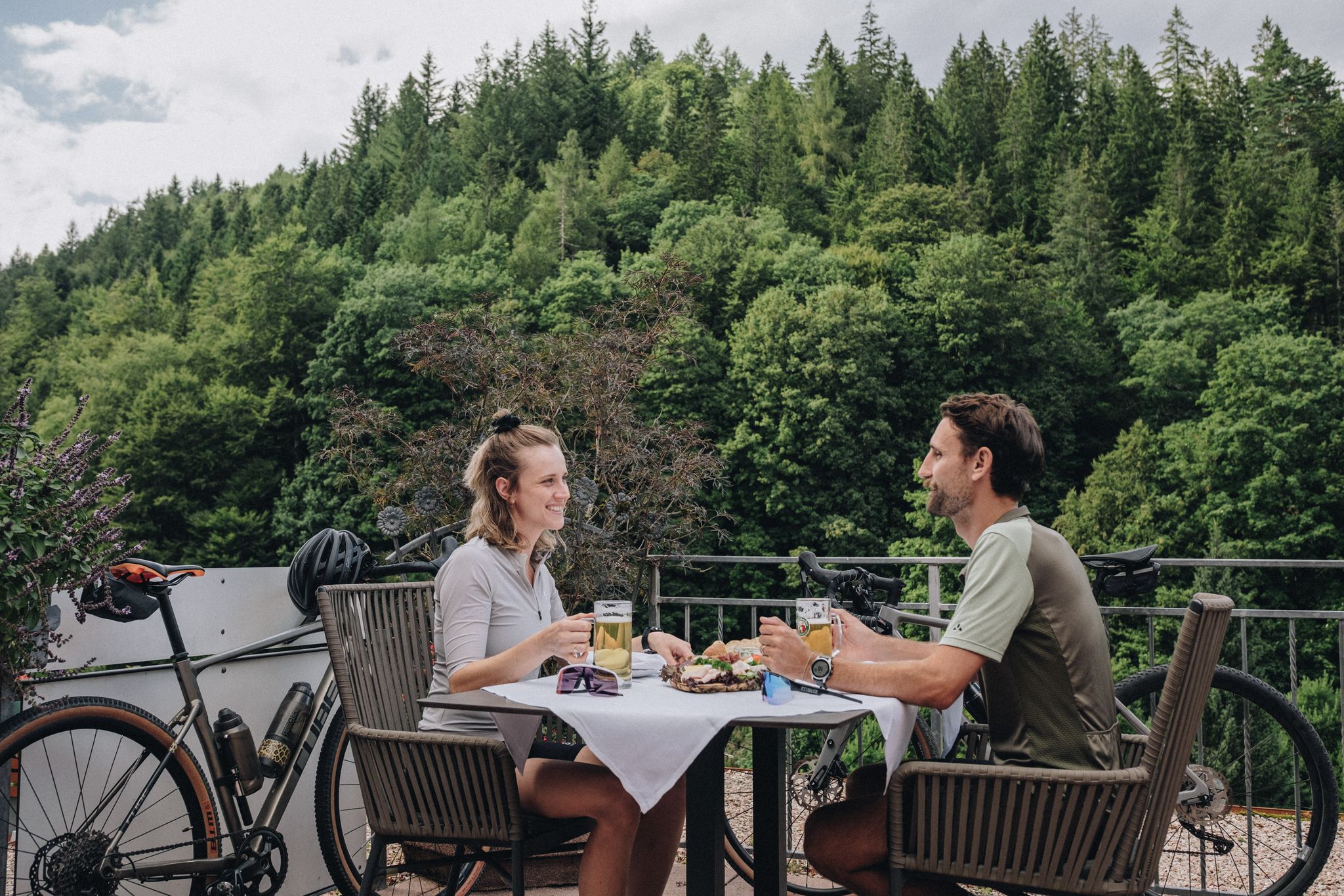
Feast, ride and discover – cycling and pleasure in the Black Forest
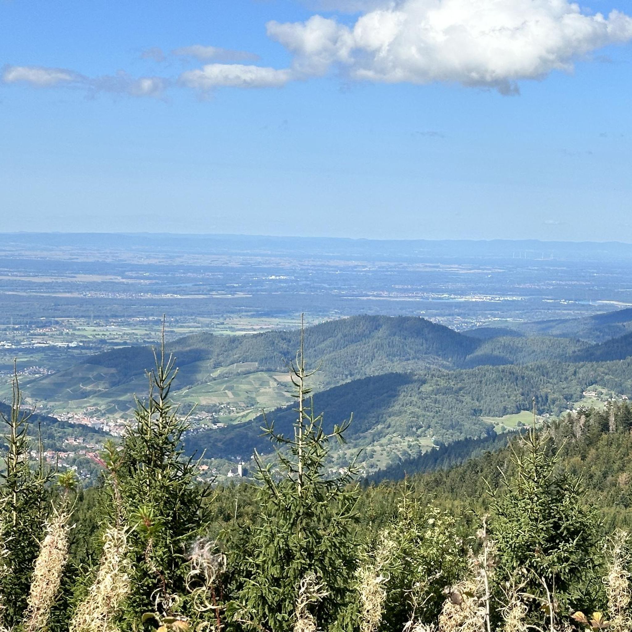
Cycling around Ottersweier
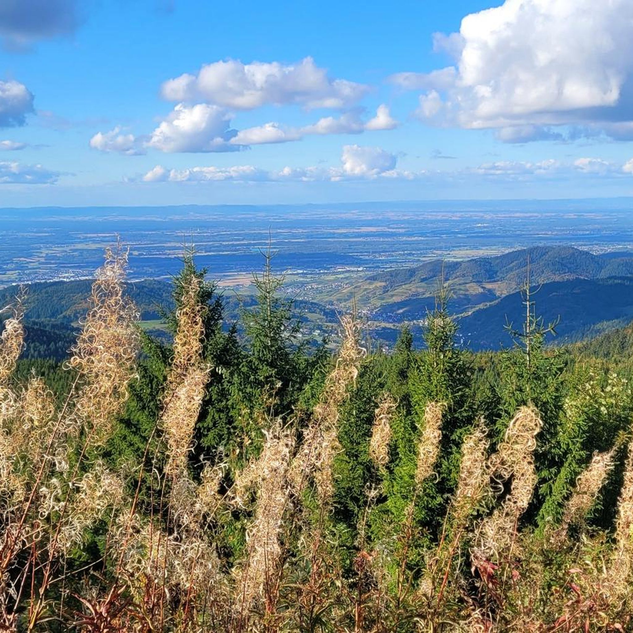
Road Cycling Routes around Ottersweier
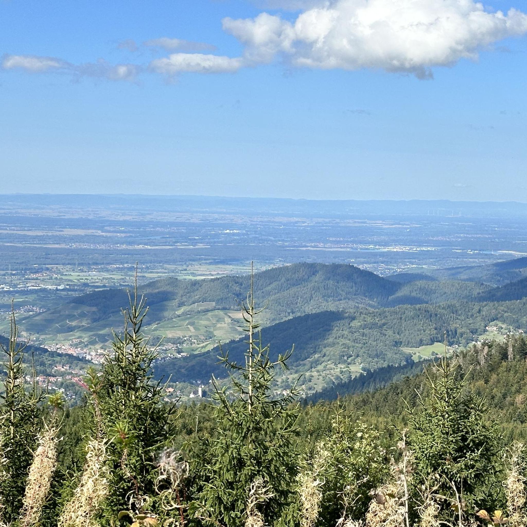
Running Trails around Ottersweier

Gravel biking around Ottersweier
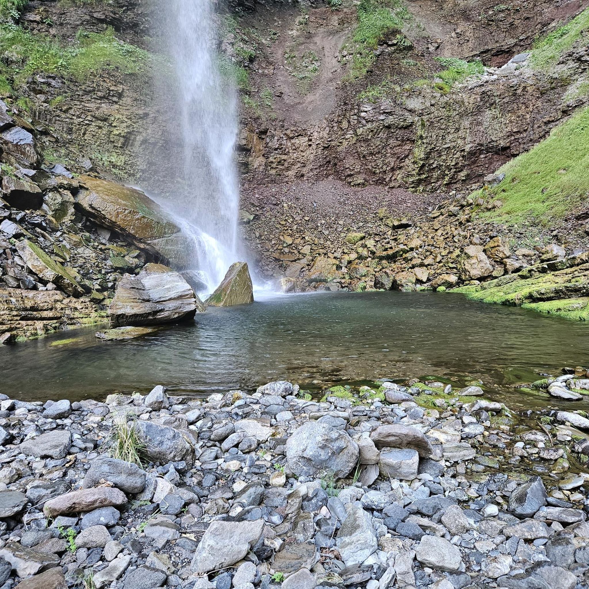
Mountain Hikes around Ottersweier
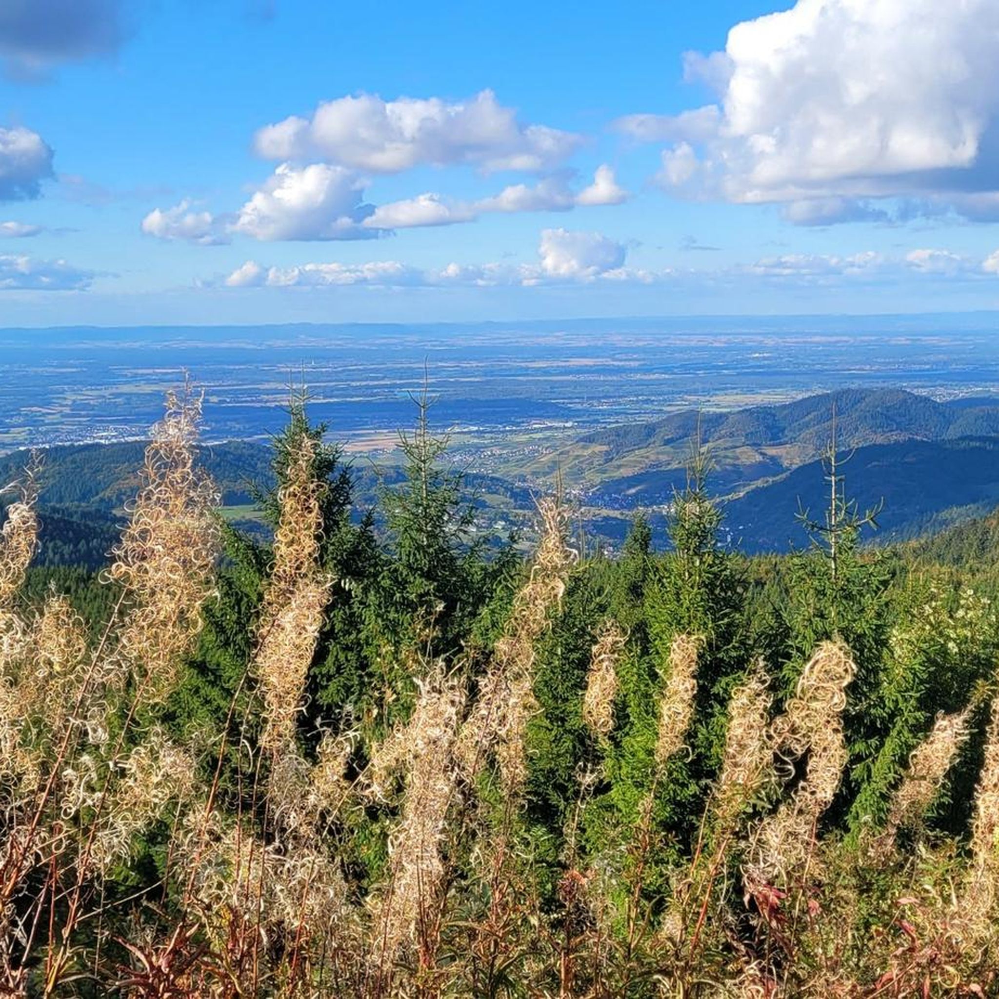
MTB Trails around Ottersweier


Tips from the Community

Unfortunately open only Tuesday, Friday and Saturday. But always worth a detour.
0
0

Wonderful view of the vineyards around Sasbachwalden, as well as the village lying in the valley. In good weather, the view extends westwards deep into the Rhine plain, all the way to the Vosges.
3
0

Parish Church of St. John The Ottersweier parish is one of the oldest in Middle Baden and was first documented over 1200 years ago. Several church buildings have been proven to exist at this site. During the construction of the large neo-Gothic church (1906-1909), care was taken to preserve important parts of the medieval predecessor churches. On the south tower, parts of the Romanesque choir tower (around 1200) can be clearly recognized. The late Gothic choir (1517) became the current entrance hall. Together with the arcade passage to the rectory on the east side, the complex forms a unified overall work of art. Further information can be found on the information stand in the church. On the square in front of the church, a memorial column (1910) with a statue of the blessed Margrave Bernhard von Baden commemorates the fallen of the war of 1870/71.
2
0
The water of the Brandbach plunges down here through a narrow gorge called Gaishölle. Over the centuries, the great drop of the water has washed away the huge rocks and erratic boulders lying on the valley floor. This created a wildly romantic forest gorge with many waterfalls. In the past, one could not walk through the valley normally. If one wanted to cross the gorge, one had to "geißen", meaning to move by climbing like a chamois (goat). "Hölle" is in turn an age-old name for a narrow, wild area with many rocks and stones. In 1880, a hiking trail was first laid out through the wildly romantic Gaishölle. The maintenance and care of this trail then led in 1882 to the founding of a special "beautification association", today's "Heimat- und Verkehrsvereines Sasbachwalden". Some interesting data: Trail length: approx. 800 m Steps: 225 Bridges: 13 Elevation difference: 154 m Access Murbergstraße: 338 m above sea level
1
0

The Peace Cross was inaugurated on February 24, 1952. It was created in cooperation with the Catholic Pax Christi movement from France. More information: https://www.buehl.de/de/Stadt-Buerger/Unsere-Stadt/Aktuelles-Presse/Stadtnachrichten/Stadtnachricht?view=publish&item=article&id=3249 Also of interest is the SWR report from 1961 (?): https://www.zdf.de/video/reportagen/collection-index-page-ard-collection-ard-dxjuomfyzdpzag93oja5nzq2zwjjmdjkmgi4zdi-336/page-video-ard-friedenskreuz-buehl-104
0
0

The path to the waterfalls is very beautiful and varied. You repeatedly cross the waterfall on small wooden bridges.
2
0

The church with the two towers is a striking landmark of Ottersweier
2
1

When the Holy Father Leo XIV greeted the faithful in May 2025 – immediately after his election as Pope – his first words deeply touched not only people of the Catholic faith. Perhaps they are also a helpful thought for the biker lingering in front of this Peace Cross: + "Peace be with you all! Dear brothers and sisters, this is the first greeting of the Risen Christ, the Good Shepherd... I too desire that this greeting of peace enter your hearts, reach your families, all people, wherever they are, all nations, the whole earth. Peace be with you! This is the peace of the Risen Christ, an unarmed and disarming peace, humble and persevering. It comes from God, the God who loves us all unconditionally." (Leo XIV)
1
0
Frequently Asked Questions
How many hiking trails are available around Ottersweier?
Ottersweier offers a wide selection of routes, with over 50 hiking trails to explore. These range from easy strolls to more challenging routes, catering to various fitness levels.
What types of landscapes can I expect to see while hiking in Ottersweier?
Hikers in Ottersweier can experience diverse landscapes, from the picturesque banks of the Murg river and green meadows to dense forests at the foot of the Black Forest. You'll find paths winding through deep woods, past clear streams, and enjoy magnificent views across the Rhine valley to the Vosges mountains from elevated points like the Ottersweier Forest and Hochberg Hill.
Are there any family-friendly hiking options in Ottersweier?
Yes, Ottersweier offers several family-friendly options. The region has many easy trails, and the Lindenhaus Castle – Mühlenhof Farm Shop loop from Lauf is an easy 6.2 km route that takes about 1 hour 37 minutes. Additionally, the WaldErlebnisStation near the Forest Sculpture Trail provides interactive experiences for children, including a balancing path and a barefoot path.
Can I find circular hiking routes in the area?
Many of the trails around Ottersweier are designed as circular routes, allowing you to start and end at the same point. For example, the Maria Linden Pilgrimage Church – Former Jesuit Residence loop from Ottersweier is a moderate 10.5 km circular trail that takes you through forested areas and past historical sites.
What are some notable natural attractions or landmarks to see on a hike?
The region is rich in natural beauty and historical sites. You can visit the dramatic Gaishöll Waterfalls, where a path winds through a wild gorge, or explore the Edelfrauengrab Waterfalls. The Murgtal Gorge also offers impressive scenery. For panoramic views, consider the Bismarck Tower on Hornisgrinde, or the ruins of Ottersweier Castle for historical intrigue.
What is the best time of year to go hiking in Ottersweier?
The best seasons for hiking in Ottersweier are generally spring and autumn. During these times, the weather is mild, and the landscape presents a beautiful array of colors, making for a particularly scenic experience.
Are there any challenging trails for experienced hikers?
While Ottersweier offers many easy and moderate routes, more experienced hikers can find challenging options in the nearby Northern Black Forest. The Karlsruher Grat, for instance, offers an exhilarating experience with climbing sections and spectacular views, though it requires sure-footedness.
What do other hikers enjoy most about the trails in Ottersweier?
The trails in Ottersweier are highly rated by the komoot community, with an average score of 4.5 stars from over 1200 reviews. Hikers often praise the diverse terrain, the well-maintained paths, and the beautiful views across the Rhine valley and into the Black Forest foothills.
Are there any trails that feature unique artistic or educational elements?
Yes, the Ottersweier Forest Sculpture Trail is a unique route featuring beautifully carved wooden sculptures, adding an artistic dimension to your walk. Nearby, the WaldErlebnisStation offers educational facilities designed to connect visitors, especially children, with nature through interactive outdoor elements.
What are the typical durations and distances for hikes in this region?
Hikes around Ottersweier vary significantly in length and duration. You can find shorter routes like the Lindenhaus Castle – Mühlenhof Farm Shop loop from Lauf, which is about 6.2 km and takes under 2 hours. Longer, moderate trails such as Steinel's Strauße loop extend to around 14.1 km and can take over 4 hours to complete.
Are there options for longer, full-day hikes?
Absolutely. For those seeking a longer adventure, routes like the Waldhägenich Nature Reserve – Little Hägenich Lake loop from Moos cover nearly 16 km and typically take around 4 hours, offering an immersive experience through a nature reserve with flat sections around the lake.
Most popular routes around Ottersweier
Most popular attractions around Ottersweier

Get inspired with the komoot mobile app


Explore more
Browse the best Hikes in other regions.
